
~Ladyside and Neighbours~
6th May 2011
Some fells escaped Wainwright's pen, his ink, his wit and his wisdom. For reasons only known to him, lesser fells made the grade, but Ladyside Pike did not. It seeks attention from the valley and draws the eye from above. The purpose of this walk was to climb Ladyside Pike, a consequence of which was to visit two notable fells which did get the "full treatment".
Ladyside Pike
Scroll down for photos and a description of the walk....
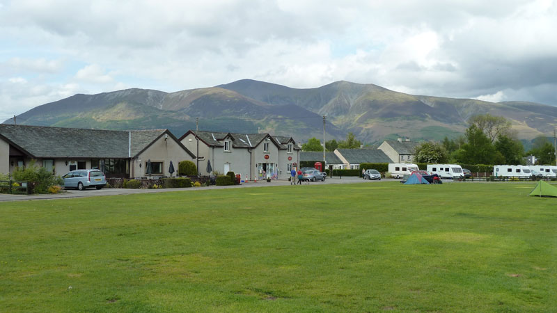
Scotgagte Campsite, Braithwaite
This weekend had been pencilled in as a camping weekend for long enough. The weather changed and humid, damp air was heading for western parts. I was going to camp at Grange in Borrowdale, but chose this old favourite as it's a better place to get wet, if the heavens open.
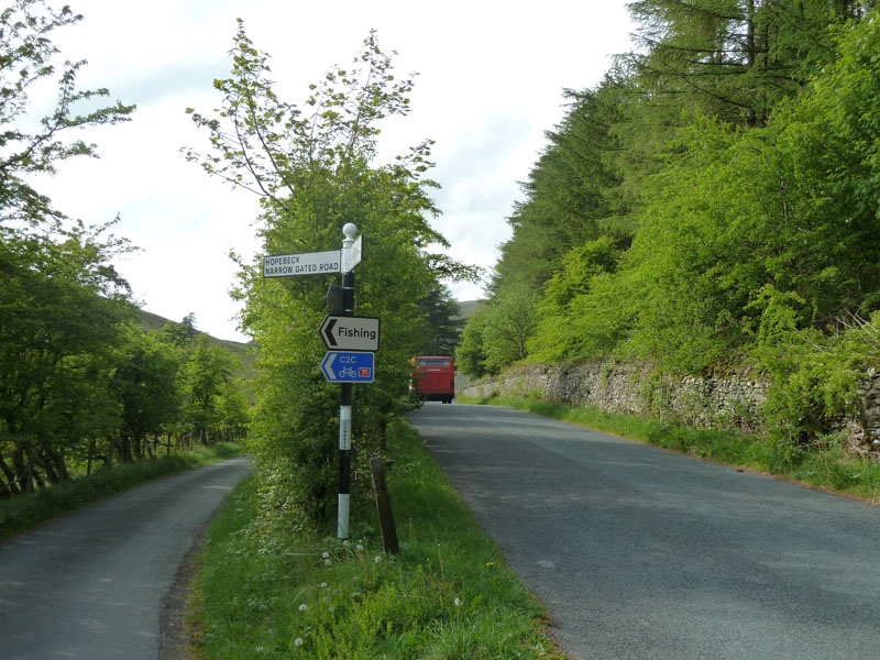
Hopebeck Road
I caught the 16:40 Borrowdale Rambler out of Braithwaite and the driver offered to drop me wherever I wanted, so here was the chosen starting point. The weather is much better than expected. Not entirely sure where the village of Fishing is.
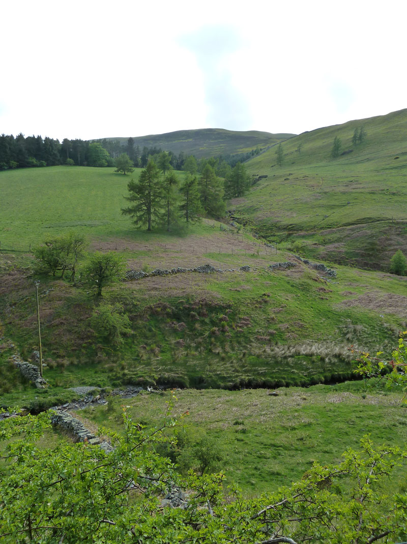
Littlethwaite Gill
I aimed directly for the ridge up there and paid little heed to walls, fences and other obstructions. Not really the right thing to do, but I left things as I found them
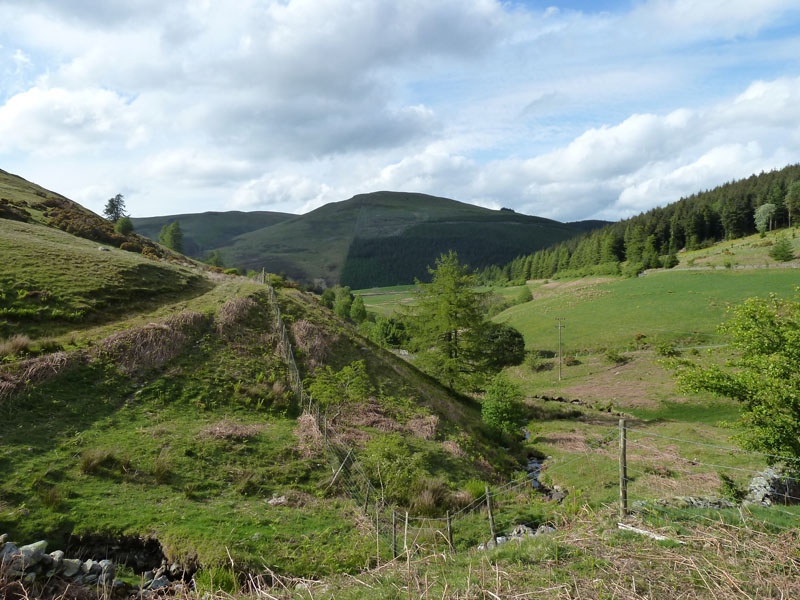
Graystones from Littlethwaite Gill
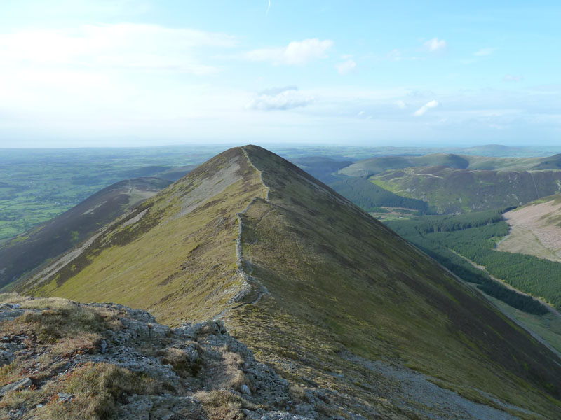
Ladyside Pike
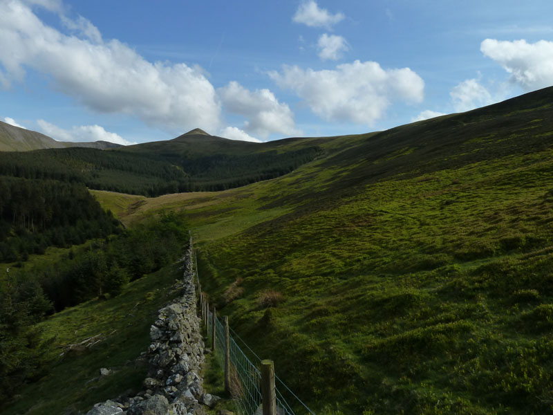
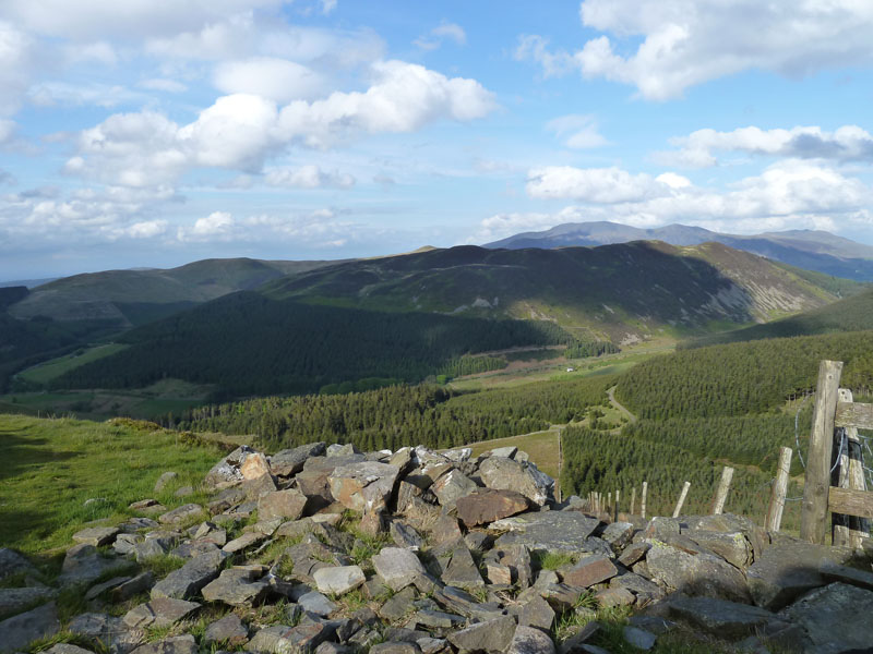
In order to reach LP, I needed to gain access to the ridge - on the right. Swinside plantation is in view.
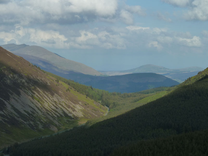
Whinlatter Pass
The road is Whinlatter Pass and beyond there you can see Latrigg (in the shade) and Great Mell Fell (in sunshine).
 |
 |
Ladyside Pike |
Whinlatter Fell |
 |
 |
Forest View |
Ladyside Pike Summit |

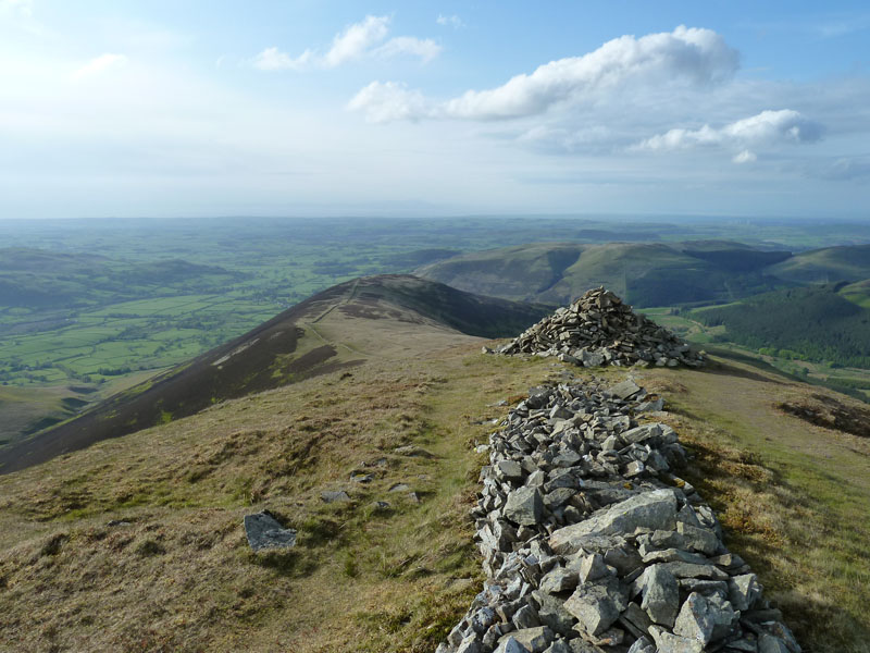
Borrow Pits
The source of some of the wall stone for the long boundary built on Ladyside Pike.
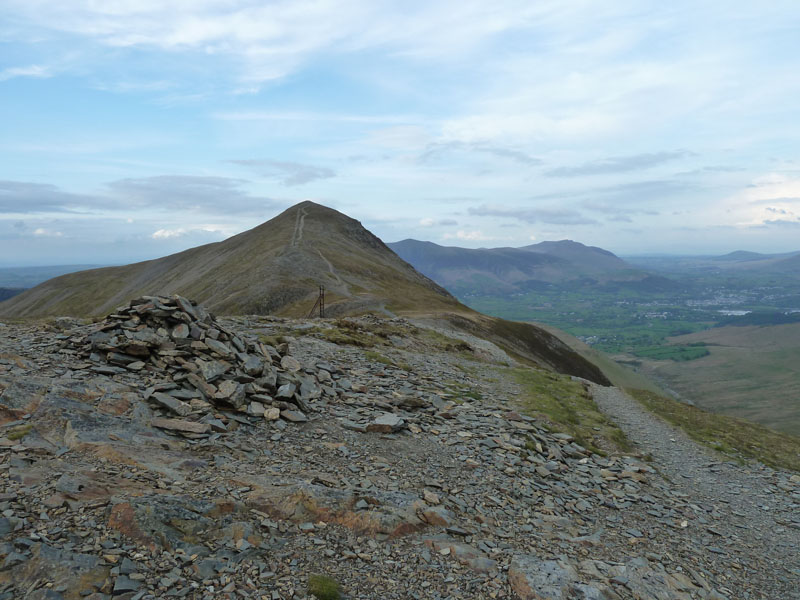
Ladyside Pike Summit
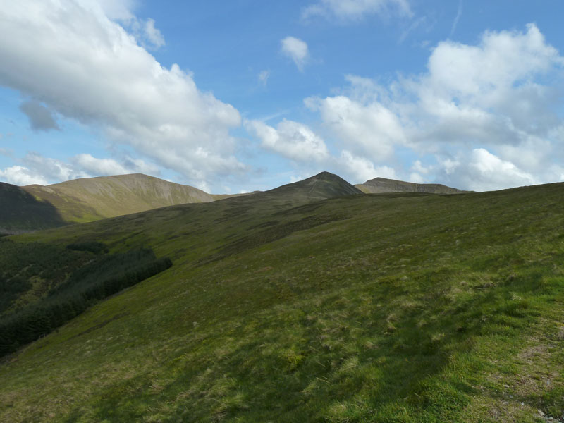
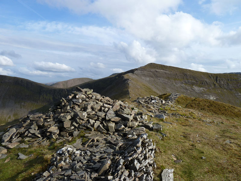
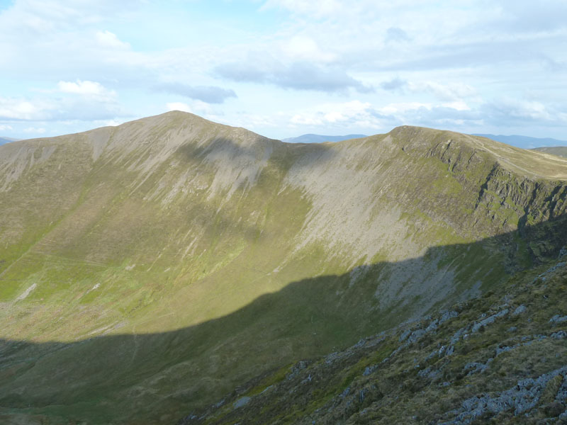
Hobcarton Crag
The ridge route to Hopegill Head and Hobcarton Crag - on the left.
Grisedale Pike
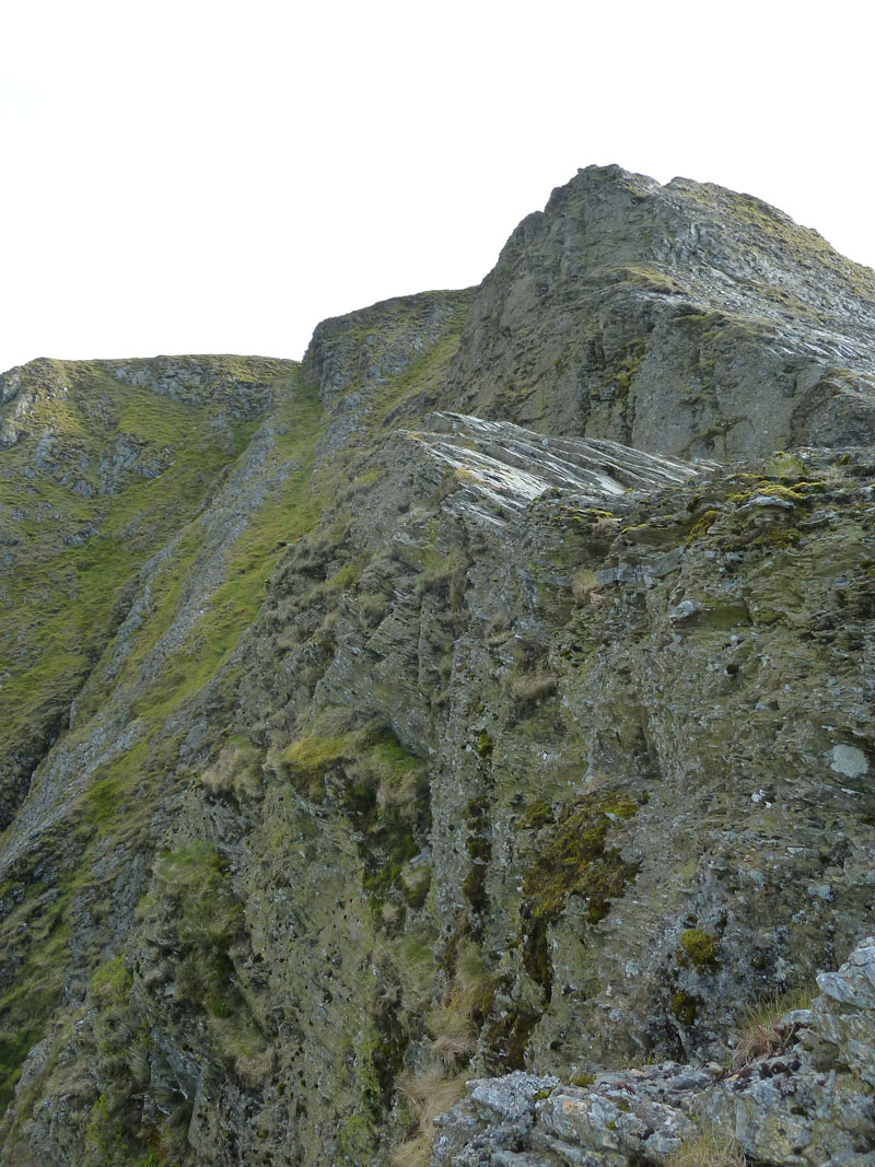
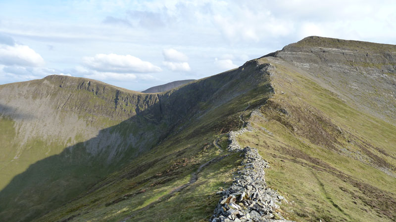
Hopegill Head
The clamber up to Hopegill Head is a challenge and not something to be attempted in icy conditions. This view is off-path, but on-path is still a bit hairy. The "Notch" is in the there somewhere.
Ladyside Pike
It's a mountain, it links to Hopegill Head via a ridge route. It has views and routes of ascent. It's over 2000ft asl. It's within the National Park boundary. What's the problem?
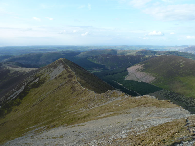
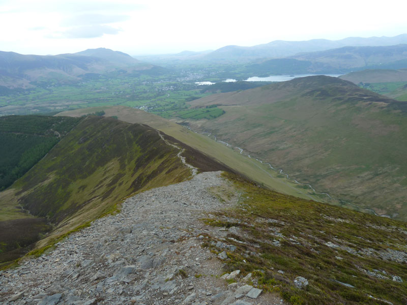
Hopegill Head Summit View
The view in a south-easterly direction shows the high point of Eel Crag summit and most of the ridge down to Causey Pike. The bump nearest the camera is known as Sand Hill. My route will now veer round to Grisedale Pike.
Grisedale Pike
This photo is taken from the subsidiary summit. The sun has disappeared behind dark clouds building from the south, probably not a night for staying on the fells.
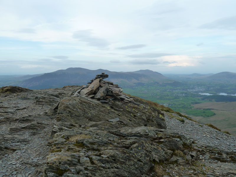
Grisedale Pike Summit
This fell has never had an attractive summit cairn, but what it lacks in furniture, it makes up for in views. But not so much at this time of the evening with light fading. This was the first of the N.Western fells that I climbed, many years ago.
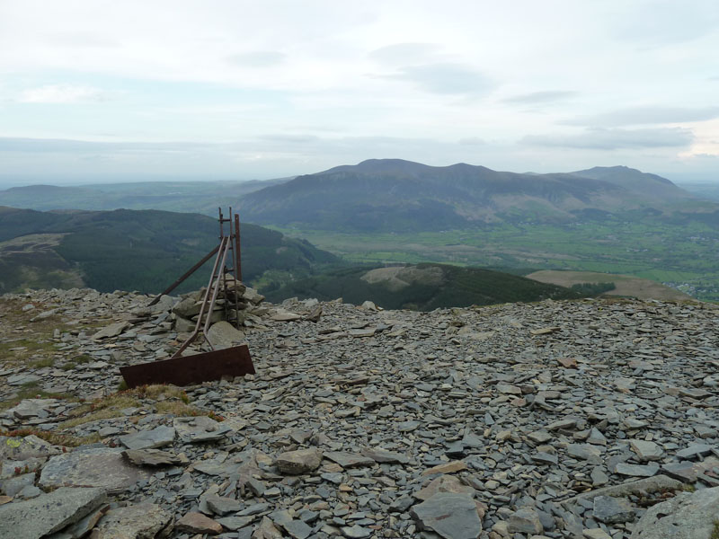
Skiddaw from Grisedale Pike
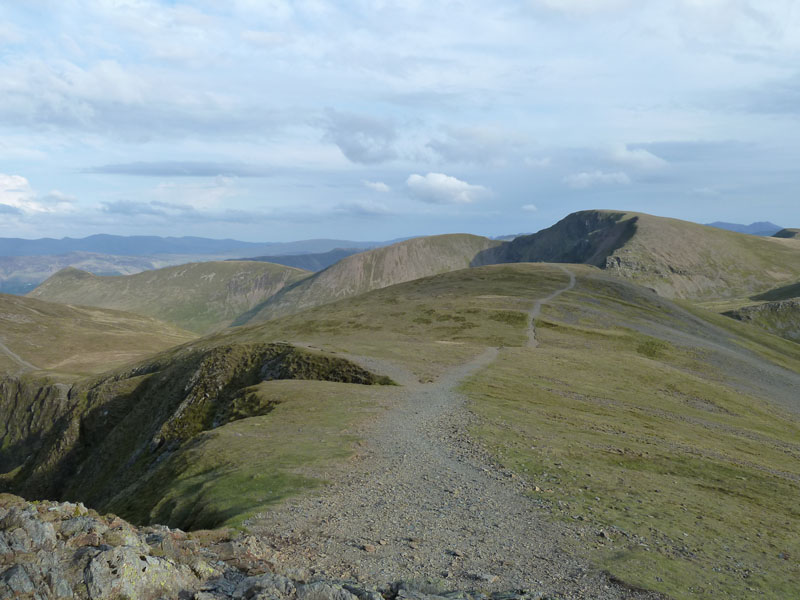
Descent Route
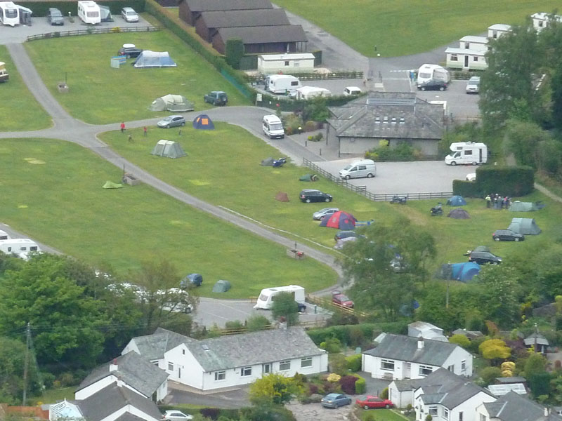
Scotgate Campsite
This site fell out of favour with me as it tends to be quite crowded on fine summer weekends. Not this weekend though and the new amenity block is magnificent! The best toilet and shower block I have ever visited, worth the admission money alone!

Boulders
The lower reaches of Kinn is adorned with a few boulders. These fells are generally bereft of boulders due to the nature of the bedrock, I wonder if these are erratics? I'm in need of a drink.
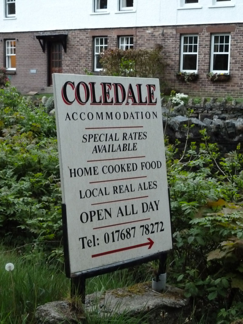
Good Pub
Walkers: Just me.
Time taken: 3hrs 15 mins over a distance of about 6 miles.
Route: From the roadside near Blaze Bridge, up to the Ladyside Pike ridge, Ladyside Pike, Hopegill Head, Grisedale Pike, Sleet How, Kinn, Pub, Campsite.
Weather and conditions: Sunny start, clouding over. Lively thunderstorm later on testing the tent's waterproofness.
Greetings Count: Two runners on Grisedale Pike, that's all.
Richard's Refreshment Review: A couple of pints in the Coledale Inn.
 |
 |
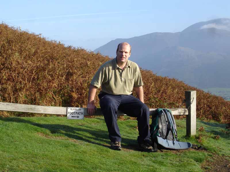
13th October 2006 |
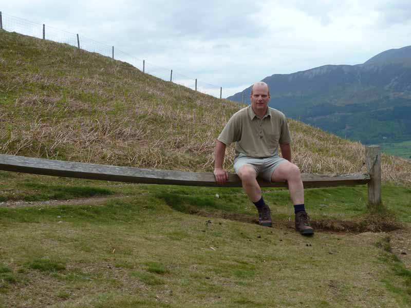
6th May 2011 |
same place, same shirt
All photos copyright Richard Ratcliffe 2011 ©
Take me back to the start ....