
~Wilderness~
18th February 2011
Time on Friday afternoon for a short walk. Low cloud over Burnley but hints of sunshine to the east, so off I went over the border into West Yorkshire, just six miles from home. The moorlands, however, were shrouded in mist and that's where I parked up.
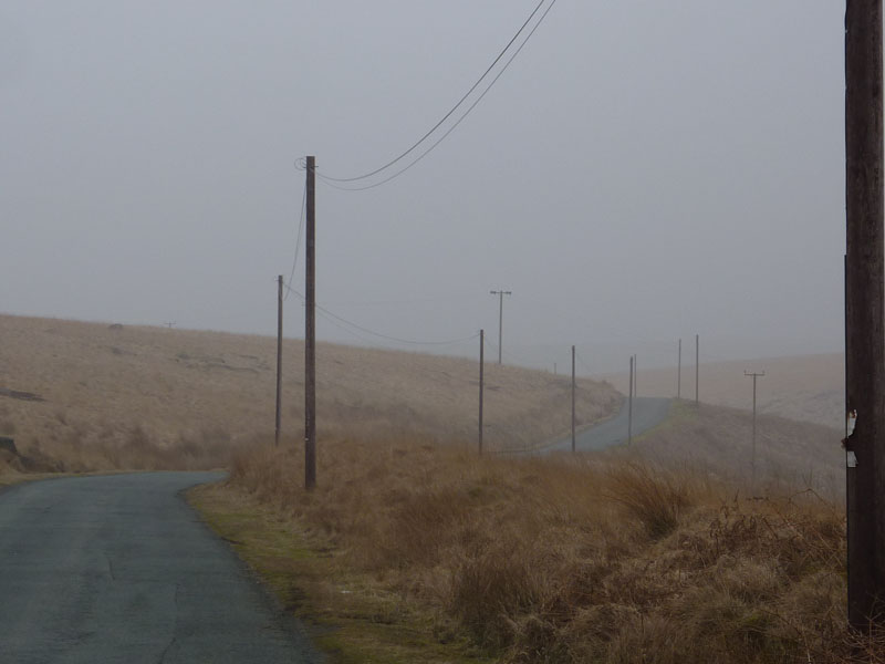
Telegraph Road
Scroll down for photos and a description of the walk....
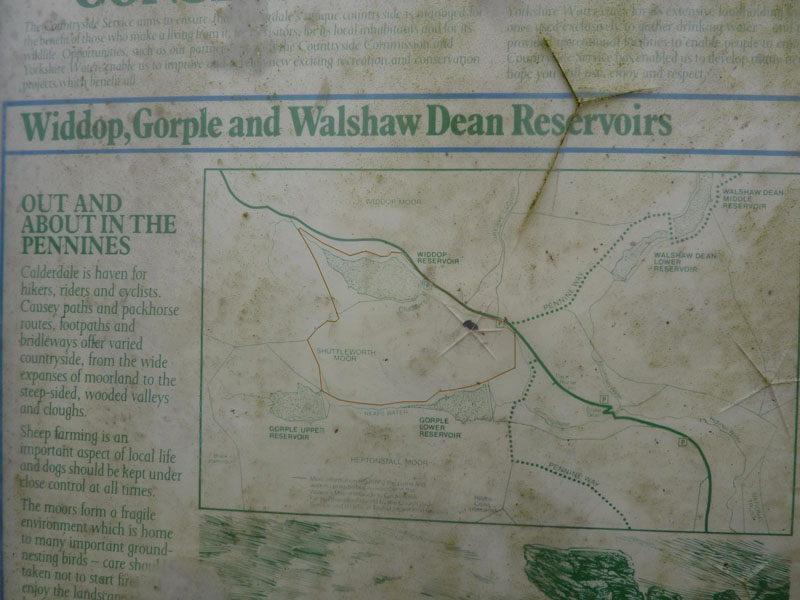
Route Map
I've put a brown line on my route, I rubbed it off afterwards.
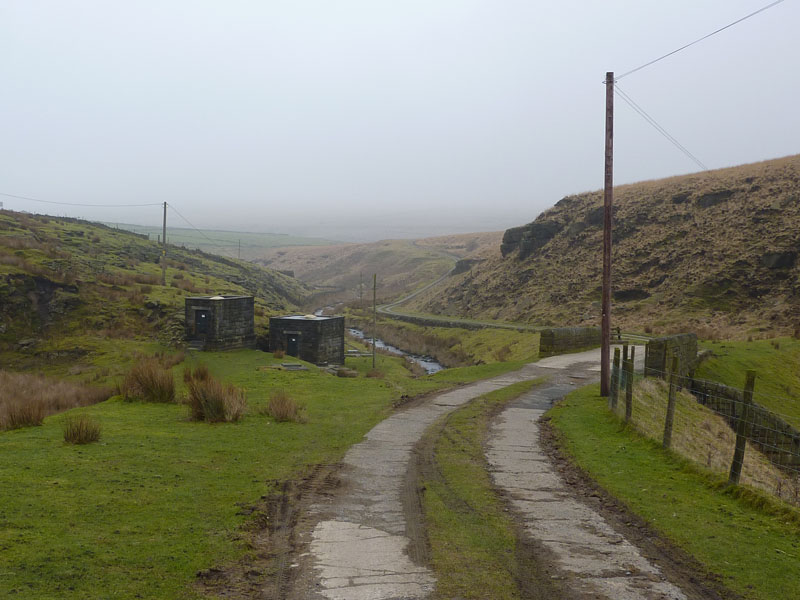
Road to Gorple Cottages
This is bleak. Cold and misty, my route will take me up to Lower Gorple Reservoir.
Gorple Cottages
If you want to live in the middle of nowhere, this could be the place for you.
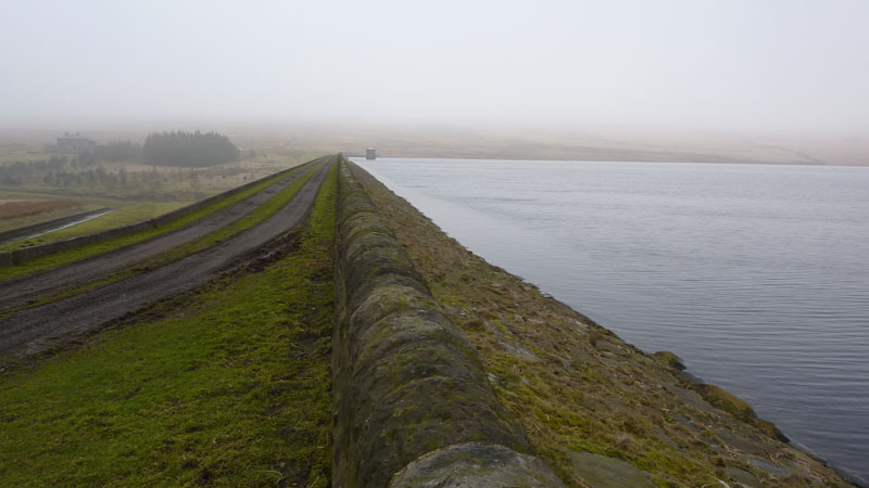
Gorple Lower Reservoir
Looking Back
I walked along the side of Gorple Lower Reservoir, visibility poor.
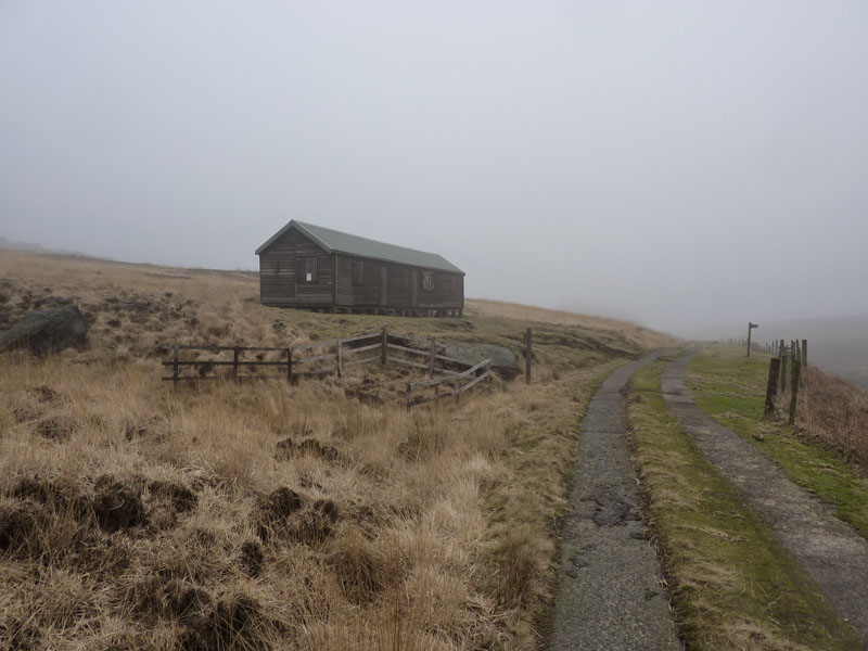
Shelter
Not really sure what the building is for. One door was open and inside was a large table and peripheral benches. Could be for outdoor groups or maybe grouse shooters (yuk!).
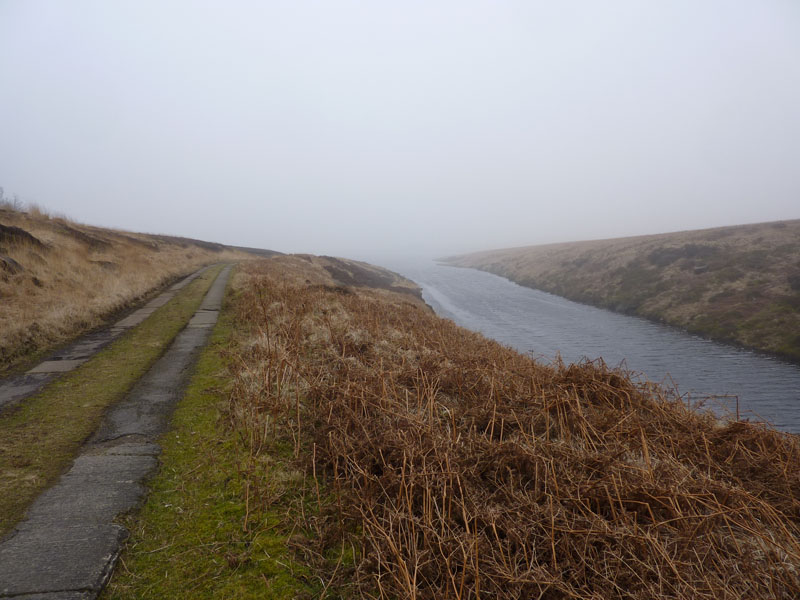
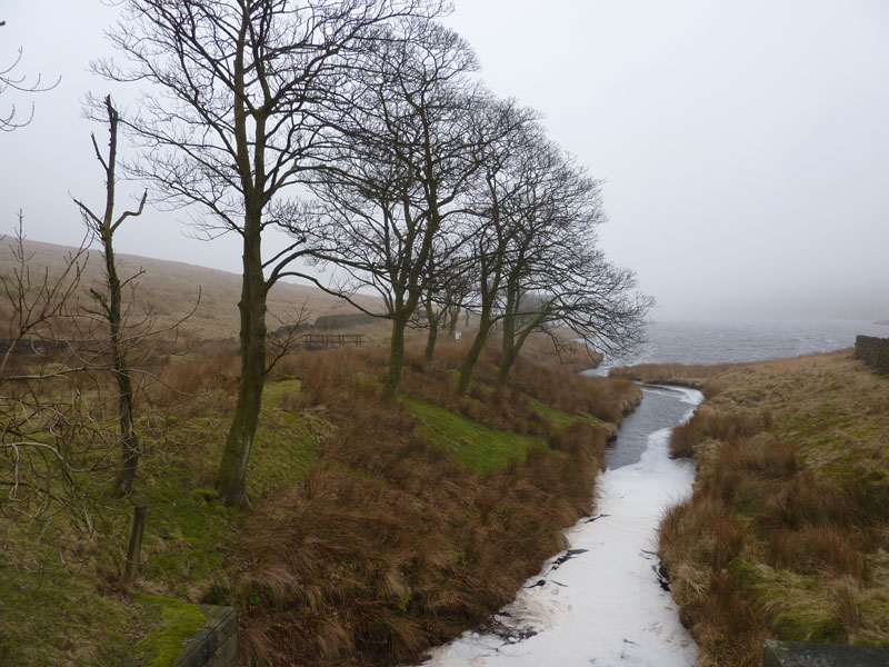
Gorple Upper Reservoir
Views are in short supply. At Gorple Upper, I took the route over the hill to Widdop Reservoir.
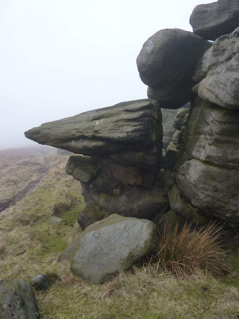
Tors
Between Gorple and Widdop Reservoirs is an outcrop of rock, typical Pennine tors on Shuttleworth Moor.
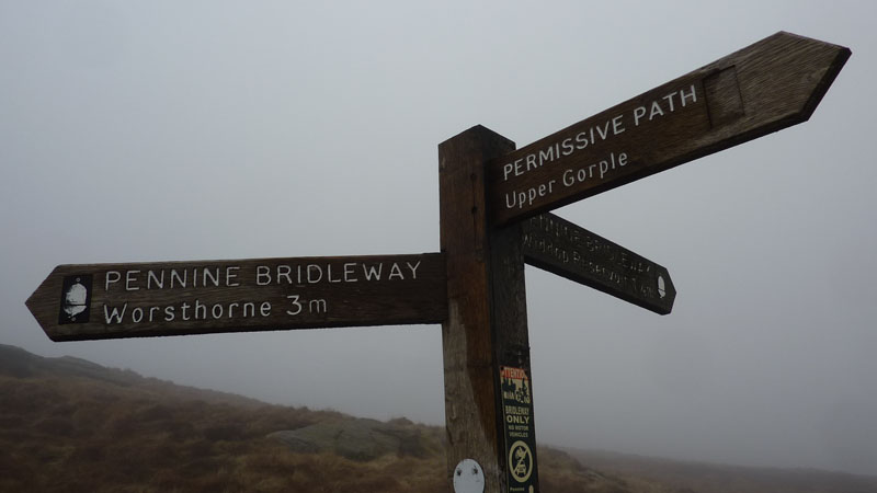
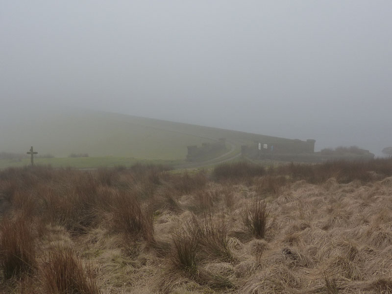
Directions
I've come from Upper Gorple and I'm heading for Widdop Reservoir.
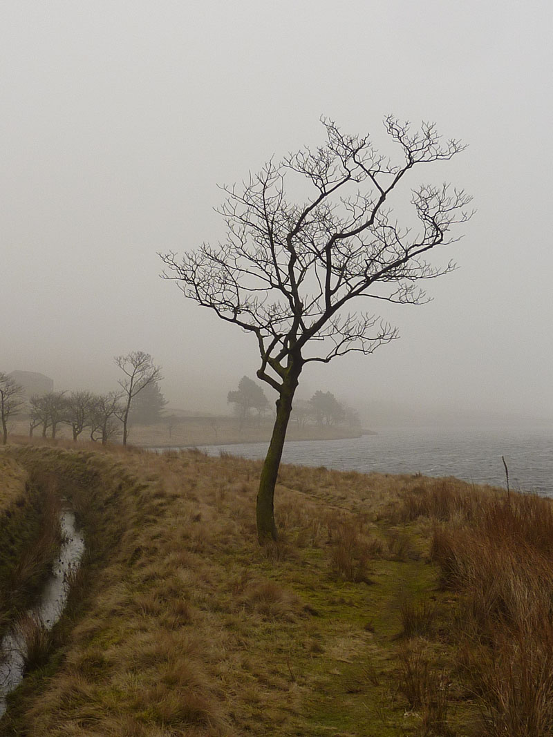
Widdop Reservoir
There is nothing to excite the photographer.
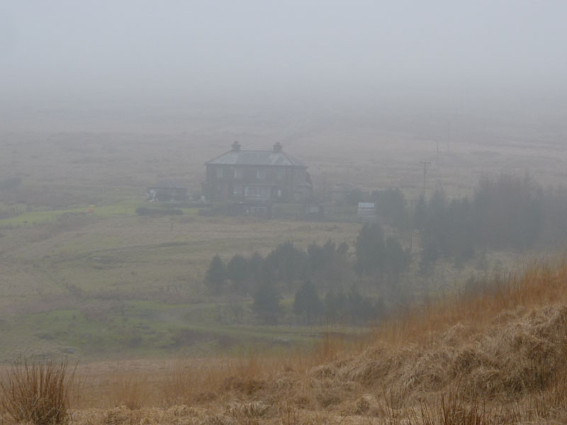
Widdop
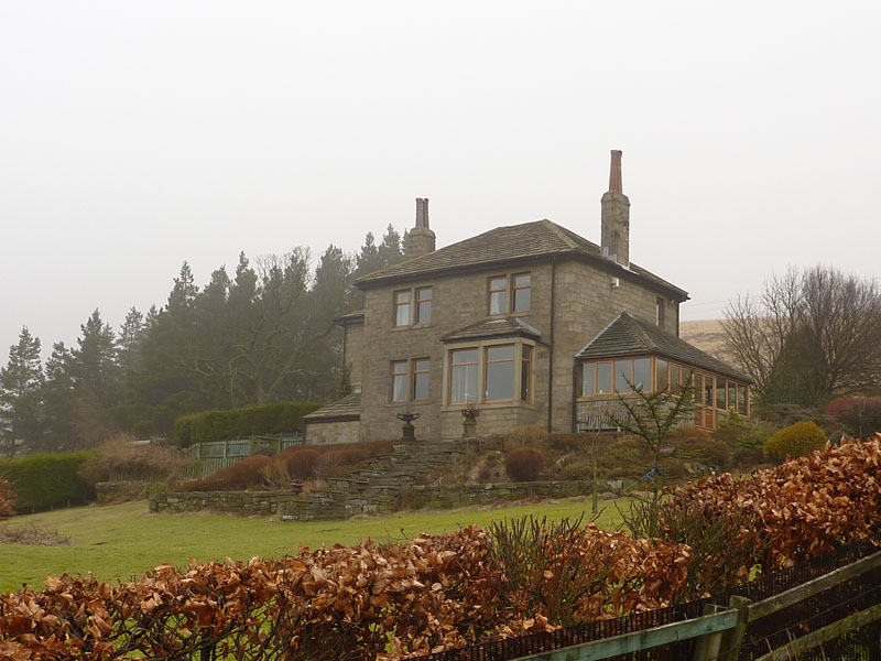
Widdop Lodge
Two properties on this side of Widdop Reservoir. I'm no architect but this has the shape of the house my grandfather had built way back in the 1920's, tall chimneys, angles and stepped garden. So I'm going for 1920-ish.
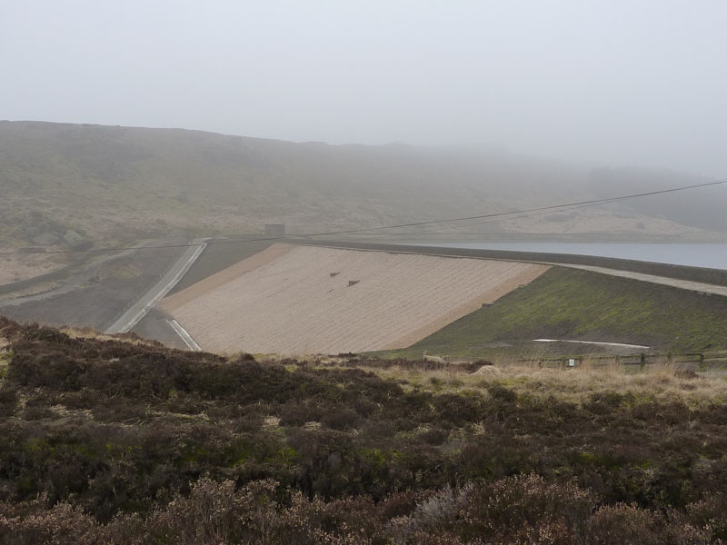
Widdop Dam
Soil stabilisation and erosion control in the form of coir matting. We (P&R Ratcliffe Underlays) used to make a version of erosion control matting. Try Greenfix if you need a solution, just mention my name!!
The Route Back
The last mile or so was along the road.
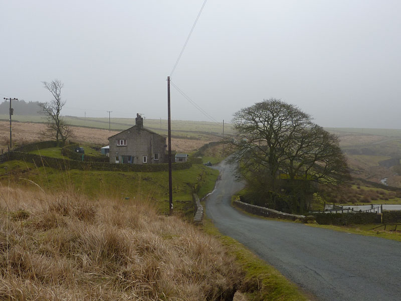
Clough Foot
Parking is just beyond the trees. The telegraph pole has been strategically used to hide a pink child's slide in the garden.
Walkers: Just Me
Time taken: 2hr and 5 minutes over about 5 miles.
Route: Roadside to Lower Gorple Res, then along to Upper Gorple, over the hill to Widdop Reservoir and along the north shore, back to the car.
Weather and conditions: Cold and misty.
Greetings Count: Nil
Richard's Refreshment Review: Nothing to report today.
"A long time ago came a man on a track, walking thirty miles with a pack on his back
He put down his load where he thought it was the best, made his home in the wilderness...."
All photos copyright Richard Ratcliffe 2011 ©
Take me back to the start ....