
~Pendle Hill~
13th November 2021
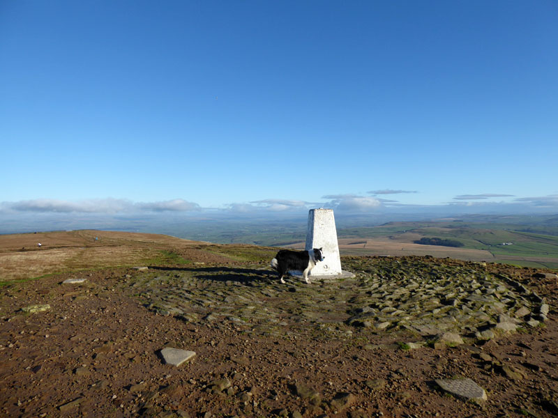
Molly on top of Pendle Hill
It seems like an eternity since the best day of the week has been a Saturday. With COP26 still continuing in Glasgow, I'm trying to equate my use of a vehicle with an internal combustion engine with my feeling that we can all do more to reduce emissions of potentially atmosphere-damaging chemicals. I could have driven to the Lake District and I will be doing so again before too long, but today all I needed was a few hours in the sunshine and clear air. I'm going to try and reduce my annual mileage, which has been less than 10,000 for many years now and make every trip for leisure count more than ever.
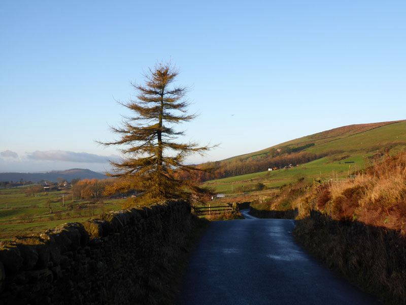
Well Head Road
The car was left in the lay-by close to the primary school in Newchurch-in-Pendle and we head along Well Head Road for a short distance. Only a couple of cars passed us on this short stretch of less than one mile.
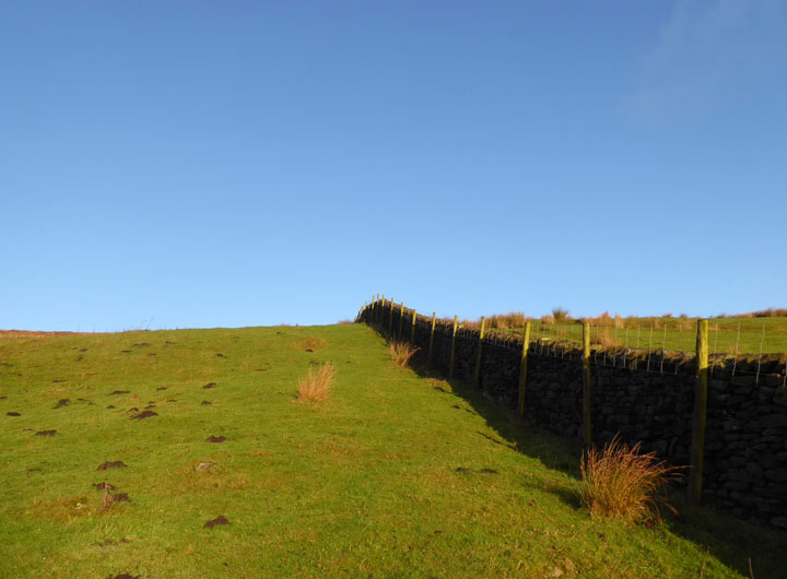
to Driver Height
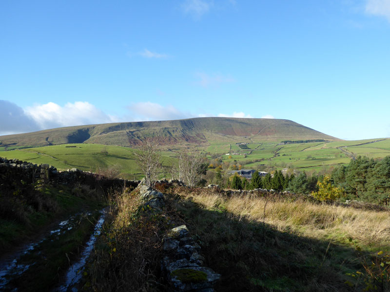
Yesterday was full of damp drizzly stuff, you know the light rain which wets you through! Not too far along Well Head Road is a footpath leading up quite steeply to an area marked on the map as Driver Height.
 |
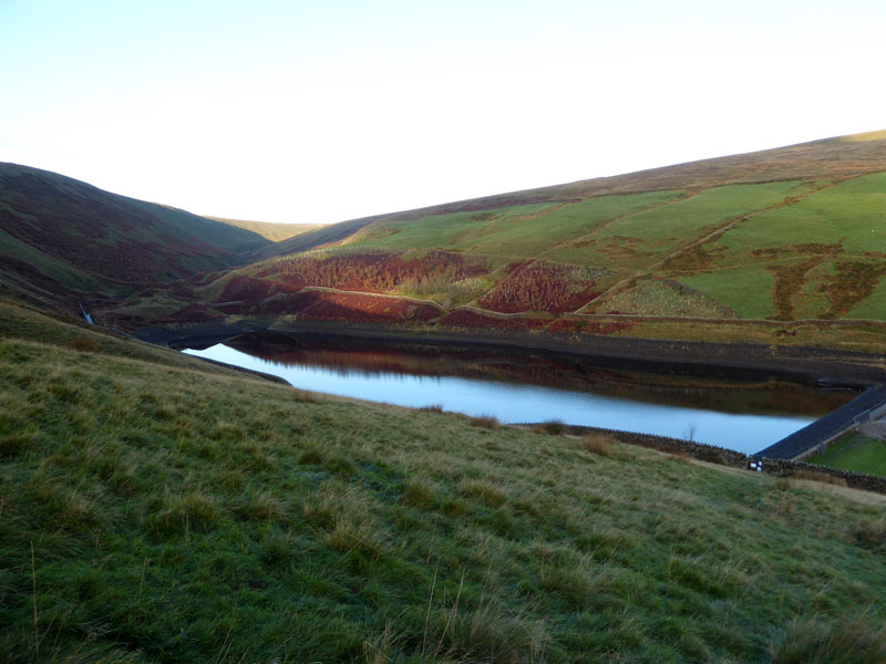 |
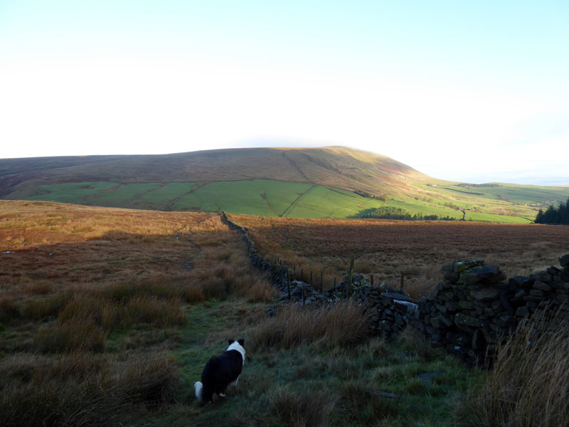
We gain a view of Pendle Hill, but rather than head straight up, we will walk up Ogden Clough as seen, right. It turns out the footpath we are on and another ahead is "closed", but I didn't pass any signs until it was too late. So, do we continue on a closed footpath or take the path on the near side of the reservoir which is private, property of United Utilities?
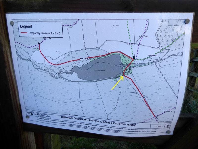
We Are Here (yellow arrow)
With no obvious hazards, we took the near-side path along the reservoir. This is not a public footpath.
 |
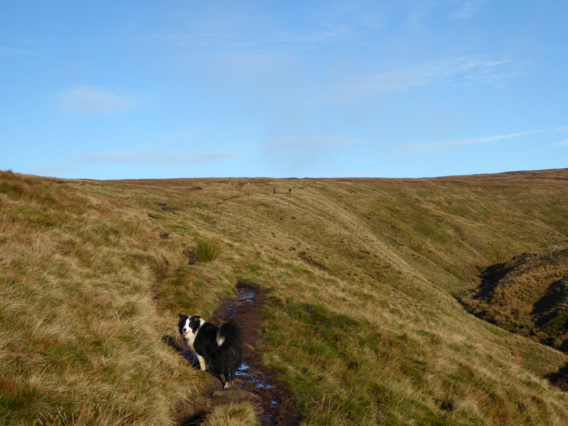 |
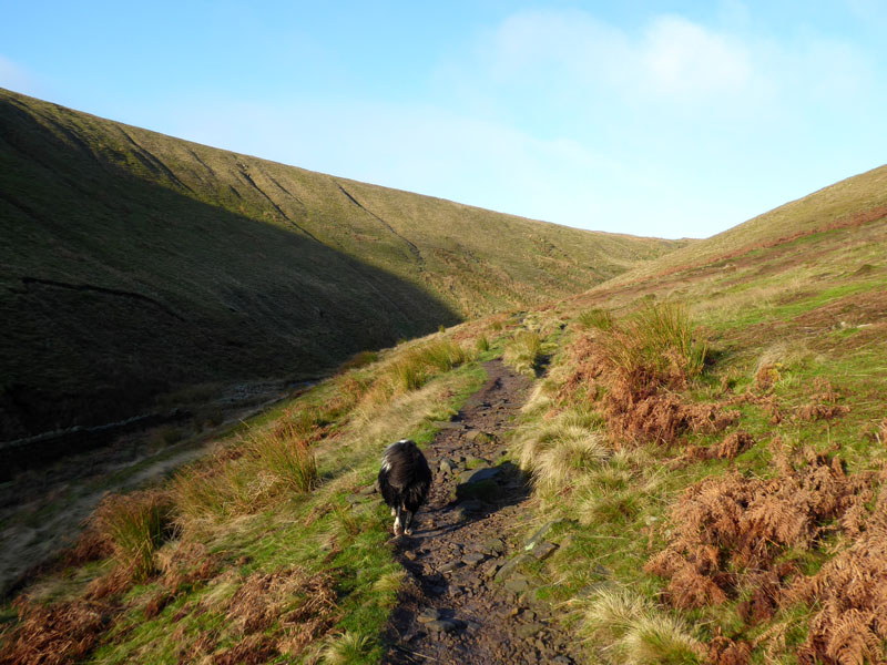
Ogden Clough
We passed the opportunity to go up Boar Clough and continued all the way up Ogden Clough. At the far end of OC, most folk then walk up a pathway of stone flags to the summit, but this time followed the old boundary wall in a NNW direction to check on the new stile and gateway.
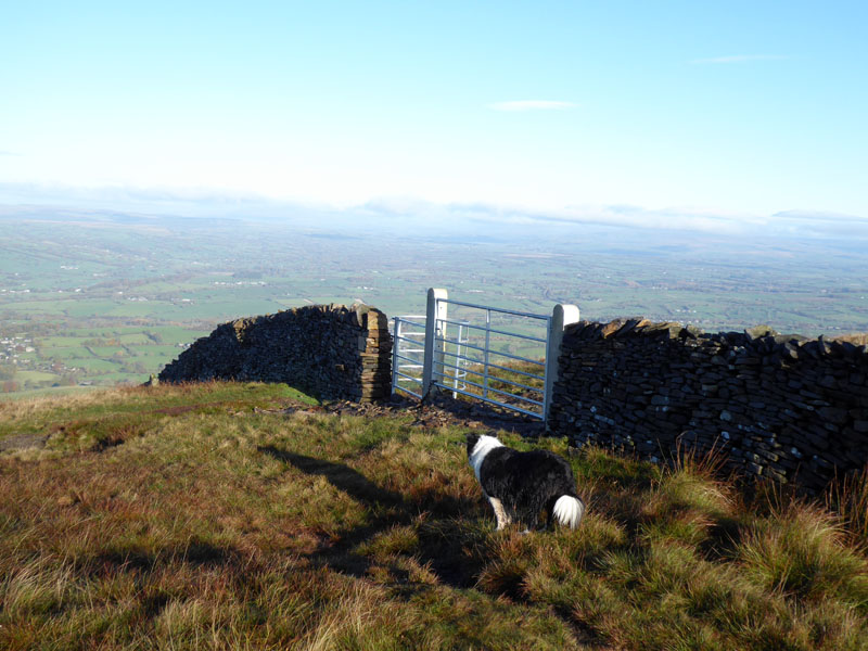
New Gates
Simple in design, the new gates are sleek and purposeful, but remove all the risk and jeopardy associated with the tall, greasy ladder stile! A small stone adorns the wall just beyond the kissing-gate.
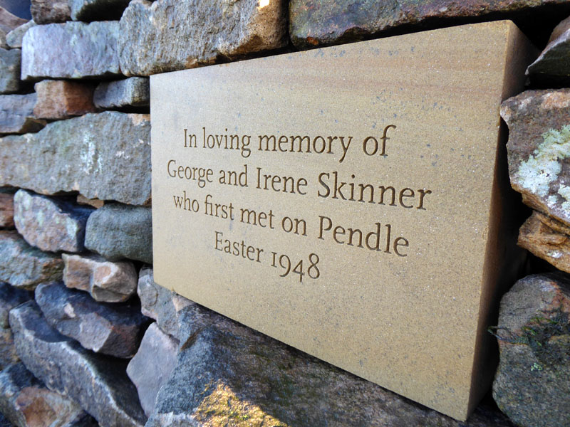
George & Irene
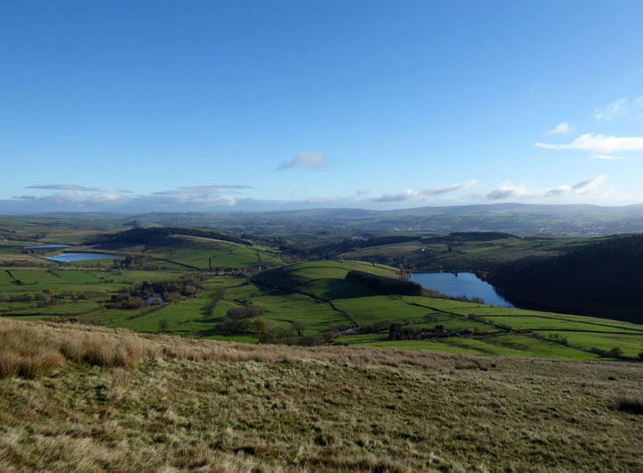
You also gain a great view of Clitheroe and the Ribble Valley towards Longridge Fell.
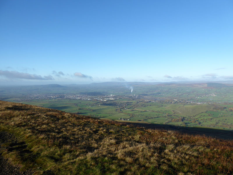
Clitheroe and The Ribble Valley
The cement works are major emitters, but we all need a bag of cement every now and again, don't we?
~~~

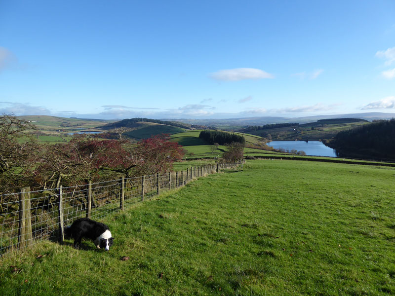
Black Moss Reservoirs
We make our way to the summit of Pendle.
Molly on top of Pendle Hill
It's taken 2hrs 20m to get to the top, one of the longer ascent routes for us in this area.
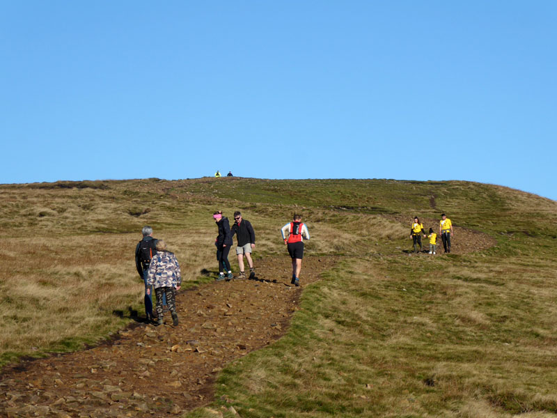
Fellrunners and Fundraisers
Looking East
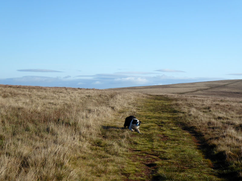
We are heading off Pendle to the south.
 |
 |
~~~
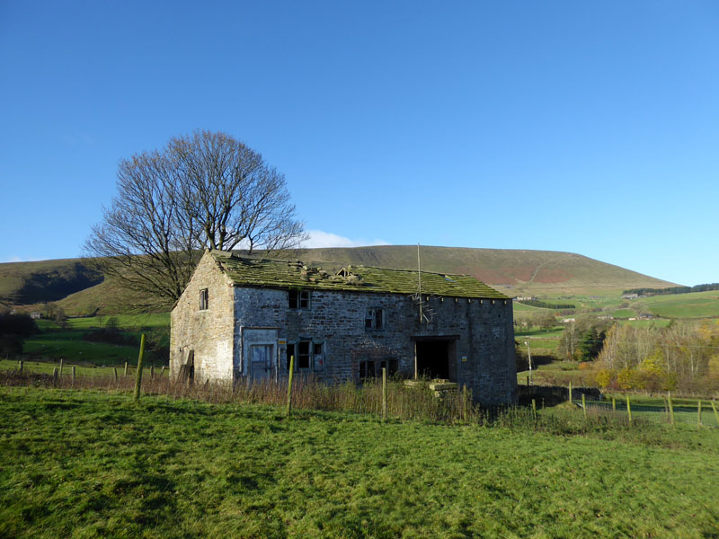
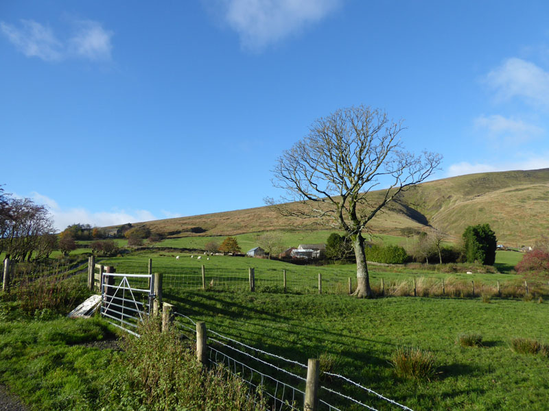
Mancknowls Ing
I have heard that this C18th delapidated property has recently been sold; there is much to do. Let's hope good things happen here. Another small refreshment opportunity would be most welcome.
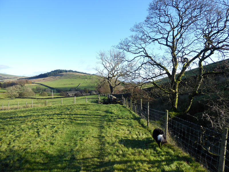
To Barley
Easy walking on a path I might have used once before, Barley lies ahead.
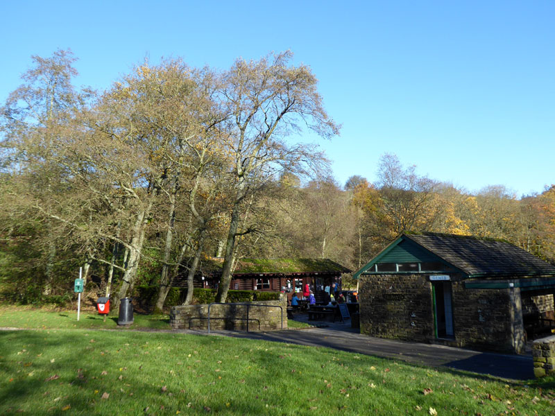
The Cabin, Barley
We stopped here for a brew and a butty. Back to normal and as good as ever, it now costs £3 to park in the car park, it's one of those number-plate recognition camera systems. You pay on exit; it remains much fun to watch folk stare into the machine in much the same way as they used to be confused by the honesty box which it has replaced.
 |
 |
From Heys Lane |
From Barley Fold |
On Heys Lane I met a chap who had walked from Foulridge to Pendle and beyond. As much or maybe more of a fellwalker as I am and equally enthusiastic about walking around here on days like these.
Walkers: Molly and Me.
Time taken: 4hrs 30mins over a distance of about 7.5 miles, including the R&R at The Cabin.
Refreshment Review: The Cabin remains a popular cafe and take-away in Barley with daily specials and prompt service.
Route: Newchurch, Well Head Road, Driver Height, Upper Ogden Reservoir, Ogden Clough, Boundary Wall to the Clitheroe viewpoint and new gates; the wall shelter, the summit, south off the fell to Buttock and Ogden Hill (see OS Map); seldom-used footpath to Mancknowls Ing; Barley, Heys Lane and up to Newchurch.
Weather and conditions: Sunny and unexpectedly warm, no jacket required.
All photos copyright Richard Ratcliffe 2021 ©
Take me back to the start ....