
~Froswick to Troutbeck Tongue~
15th August 2020
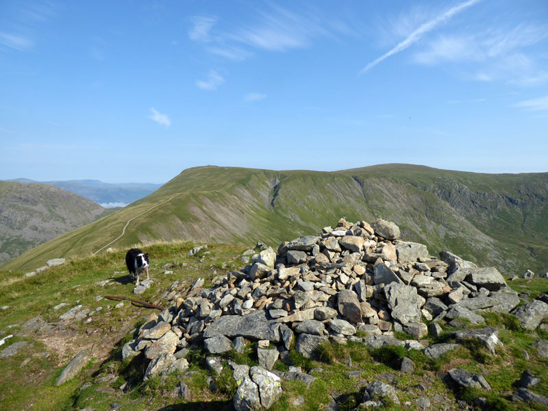
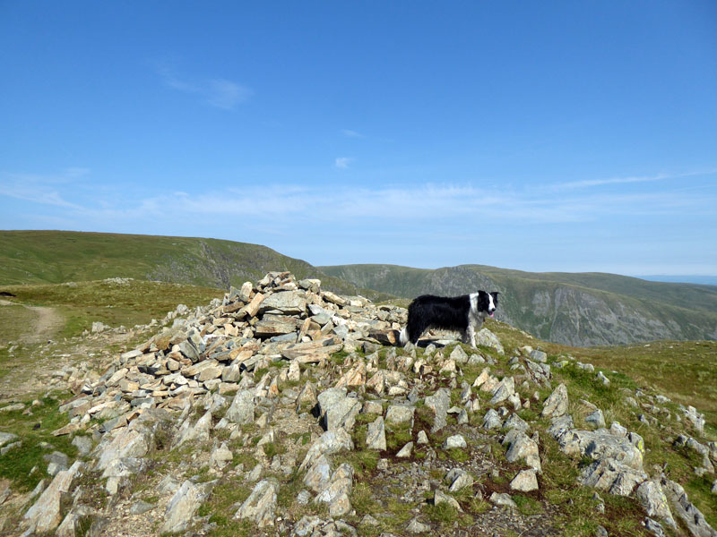
Froswick Summit
 |
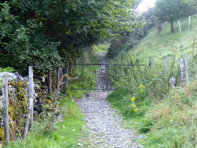 |
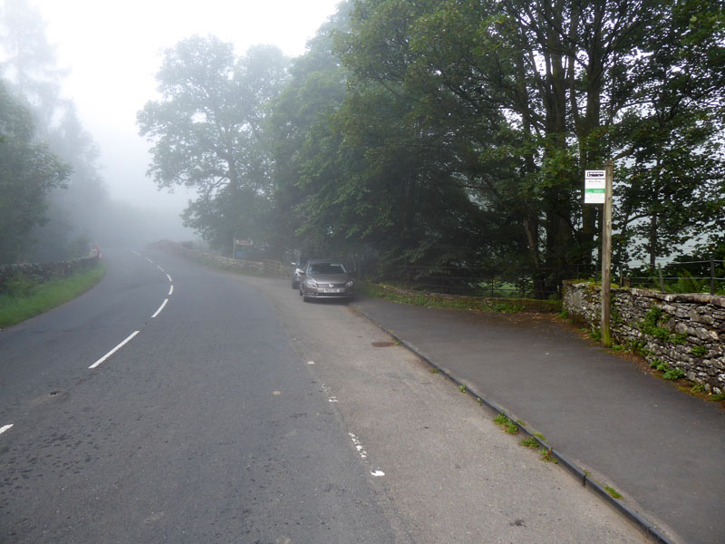
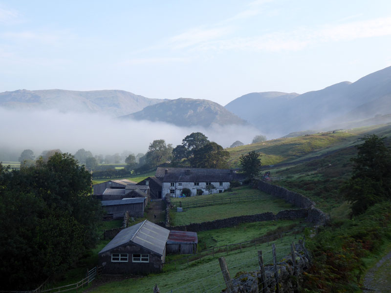
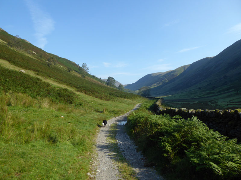
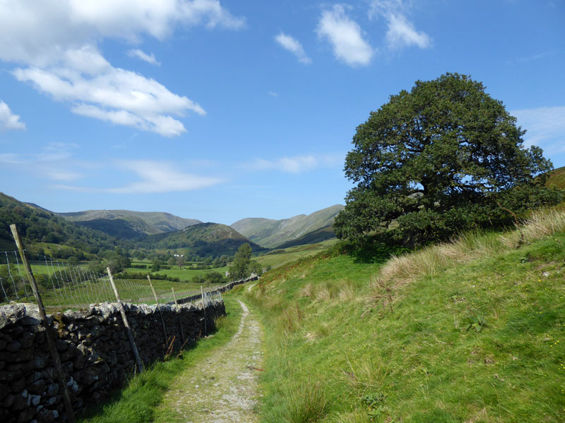
The forecast for East Lancashire was for a dull day, but for Cumbria there was hope of the cloud retreating and any early mists dispersing. The Mountain Weather Forecast did, however, warn of windy conditions on the ridges and in the cols. Moderate temperatures and a good chance of cloud-free summits. I parked in Troutbeck (left), walked through Limefitt Lodges and the antique gate opens the way for a walk in the countryside. Start time: 0745hrs.
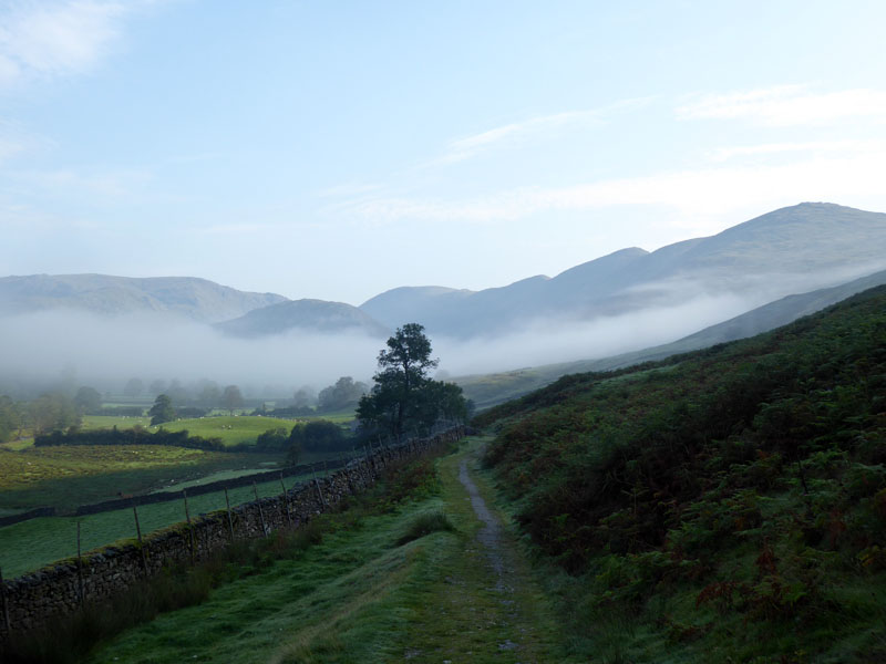
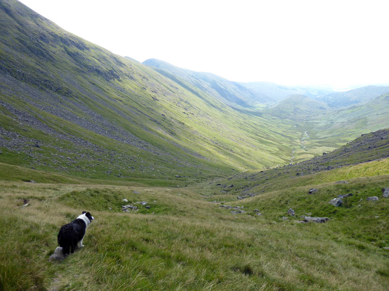
Mists in Troutbeck
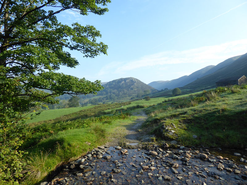
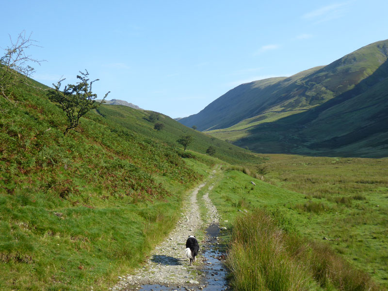
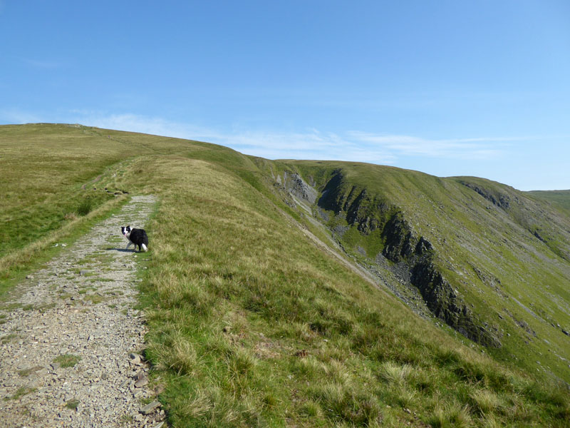
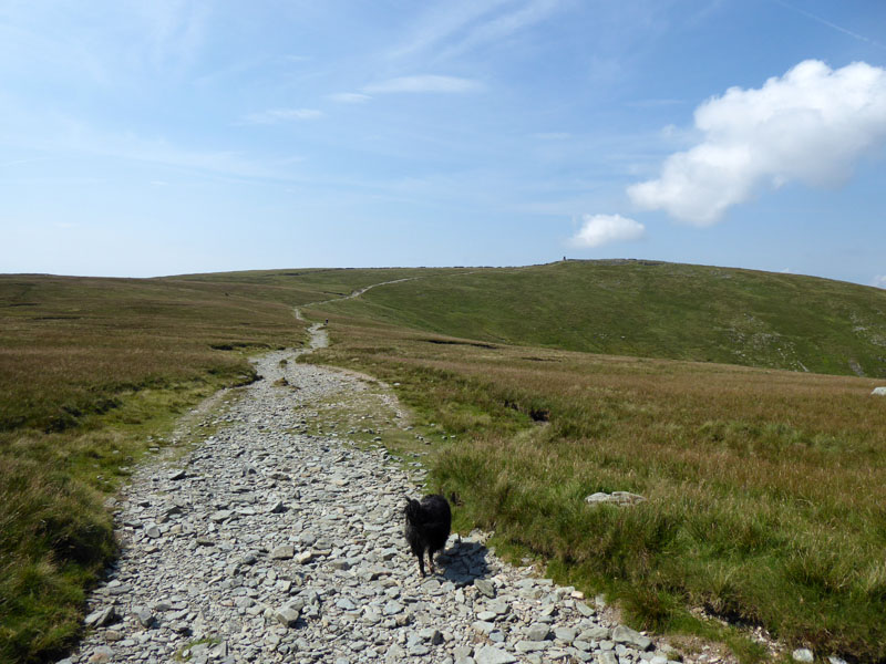
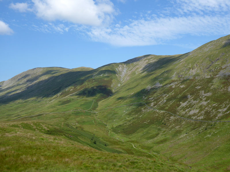
It's quite a long and pleasant track walk until we start a proper ascent. The mists are rising, the view over Windermere was quite spectacular on the way in. Garburn Road is higher up the hillside.
Long Green Head
I chose Froswick as the primary target today as it is one I haven't climbed directly on any previous occasion. Also, I expected a dull morning and didn't want a steep testing ascent in warm sunshine; I have brought my warm weather, but not "hot" quantity of water and some extra for Molly.
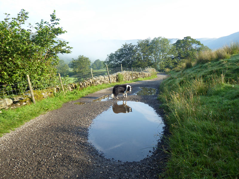
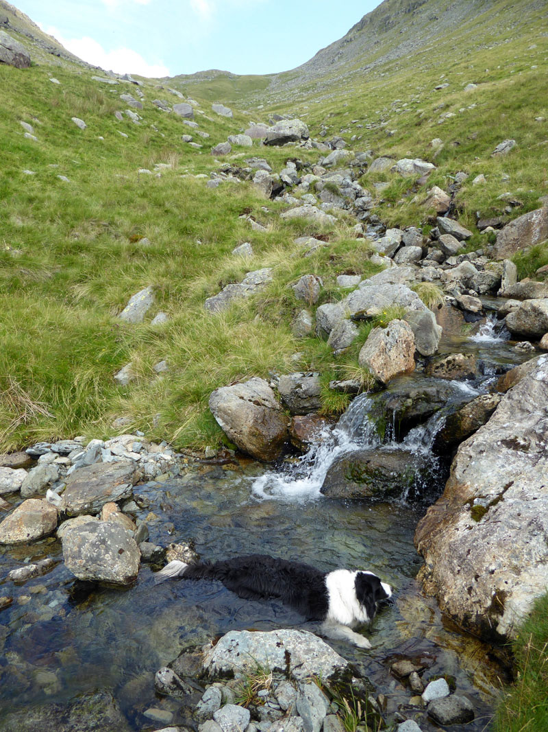
There is a dog in the puddle!
Wainwright suggests the rare direct climbs of Froswick should be alongside Blue Gill; rather than wasting time trying to locate Scot Rake - a way to High Street. All new to me, we'll see what happens...
A Beautiful Day!
Who'd be a weather forecaster? Never any cloud, just the early morning mist which has now gone. Warmer than expected, surely there will be the breezes higher up. Plenty of water opportunities for Molly.
 |
 |
Hagg Gill |
To the Fells |
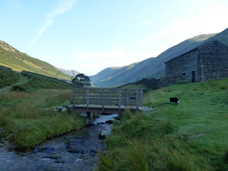
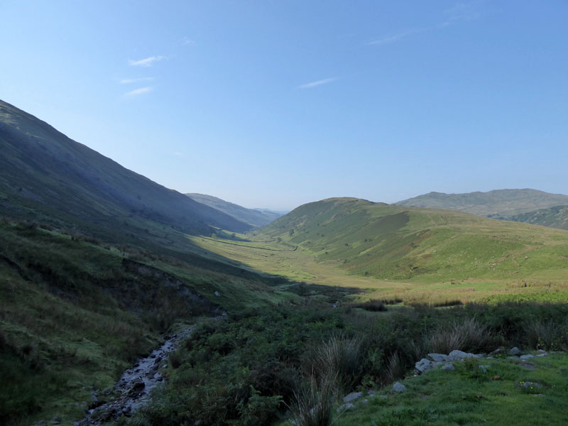
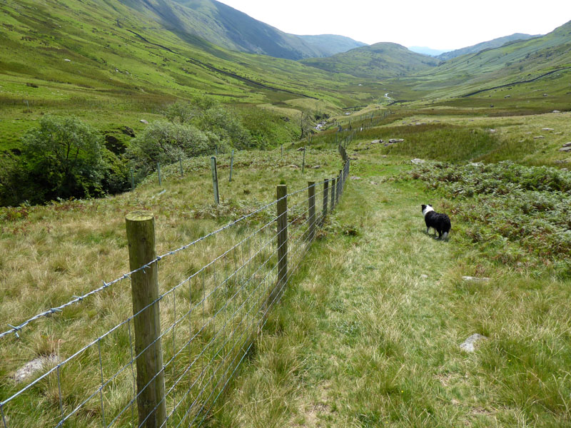
The route crosses Hagg Gill just after the disused quarries on the eastern side of the gill.
~~~
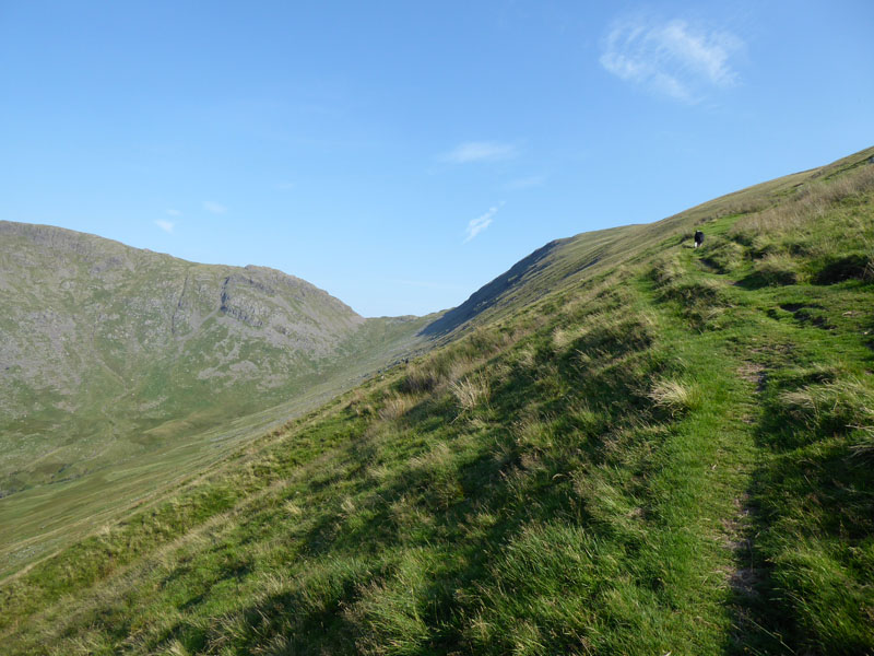
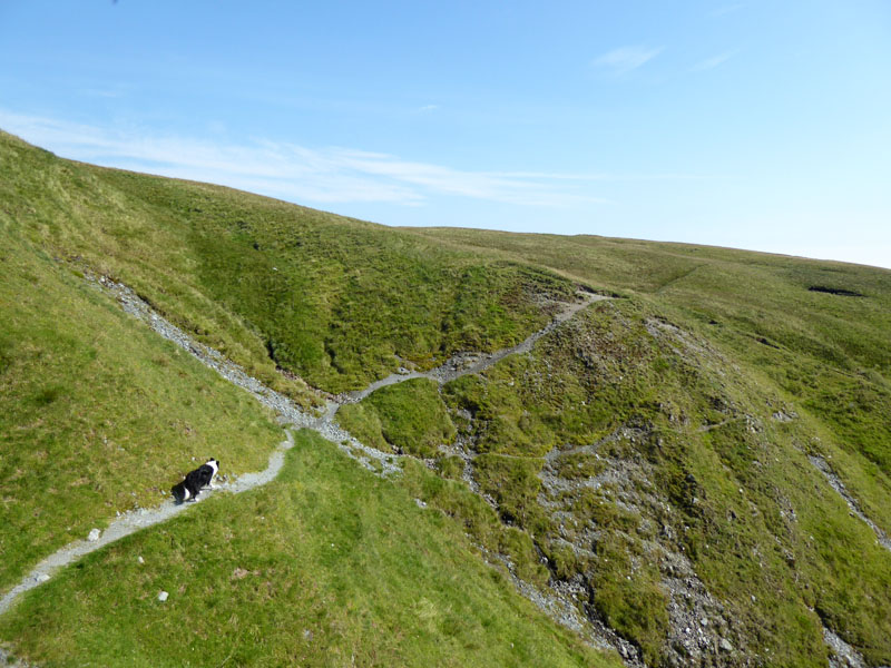
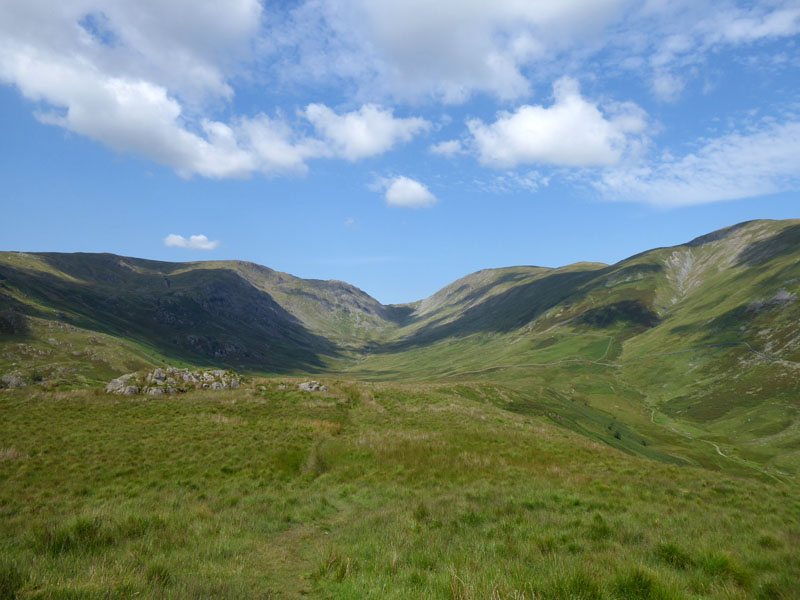
Troutbeck Tongue
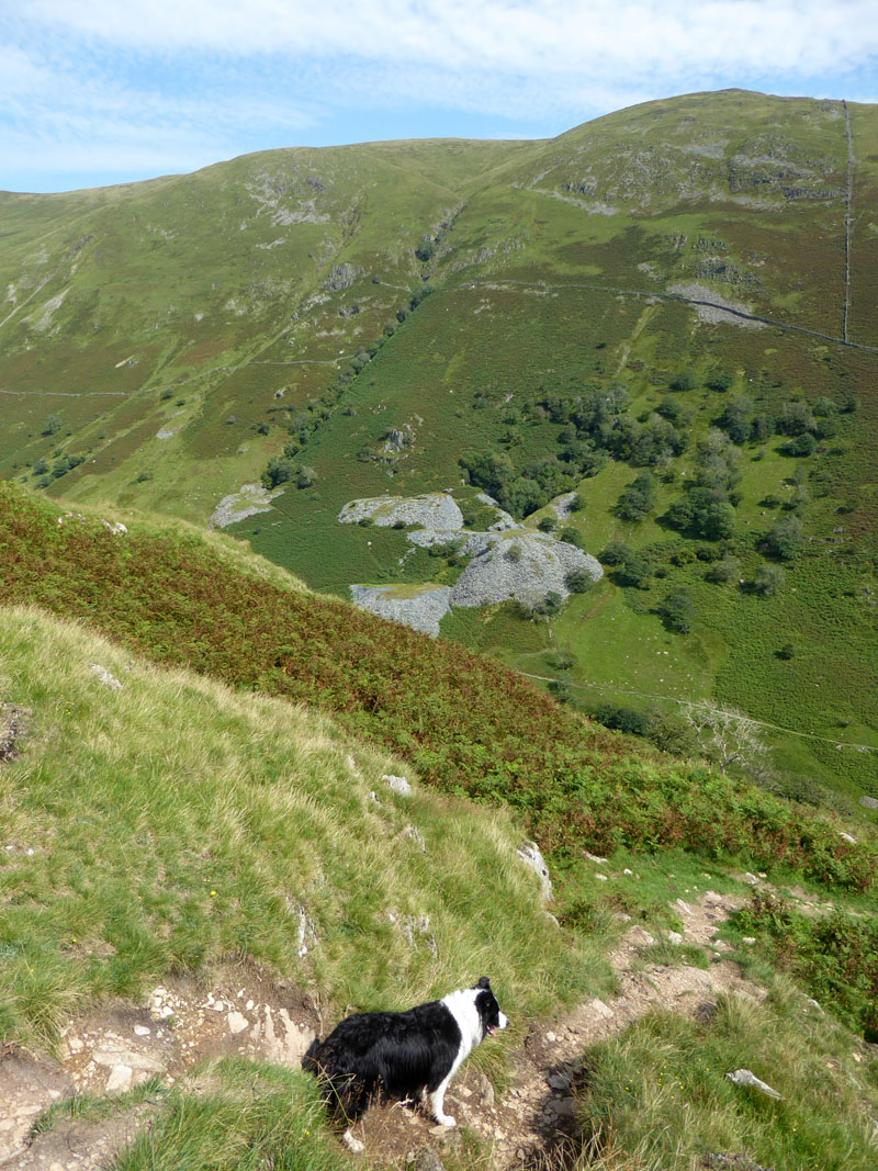
We have started following Blue Gill, but in parallel Scot Rake has started its climb up the flank of the fellside. I decided it would be better to follow Scot Rake as it was going to be too warm for a steep slog up alongside the gill. All being well, the walk will conclude with a traverse of Troutbeck Tongue.
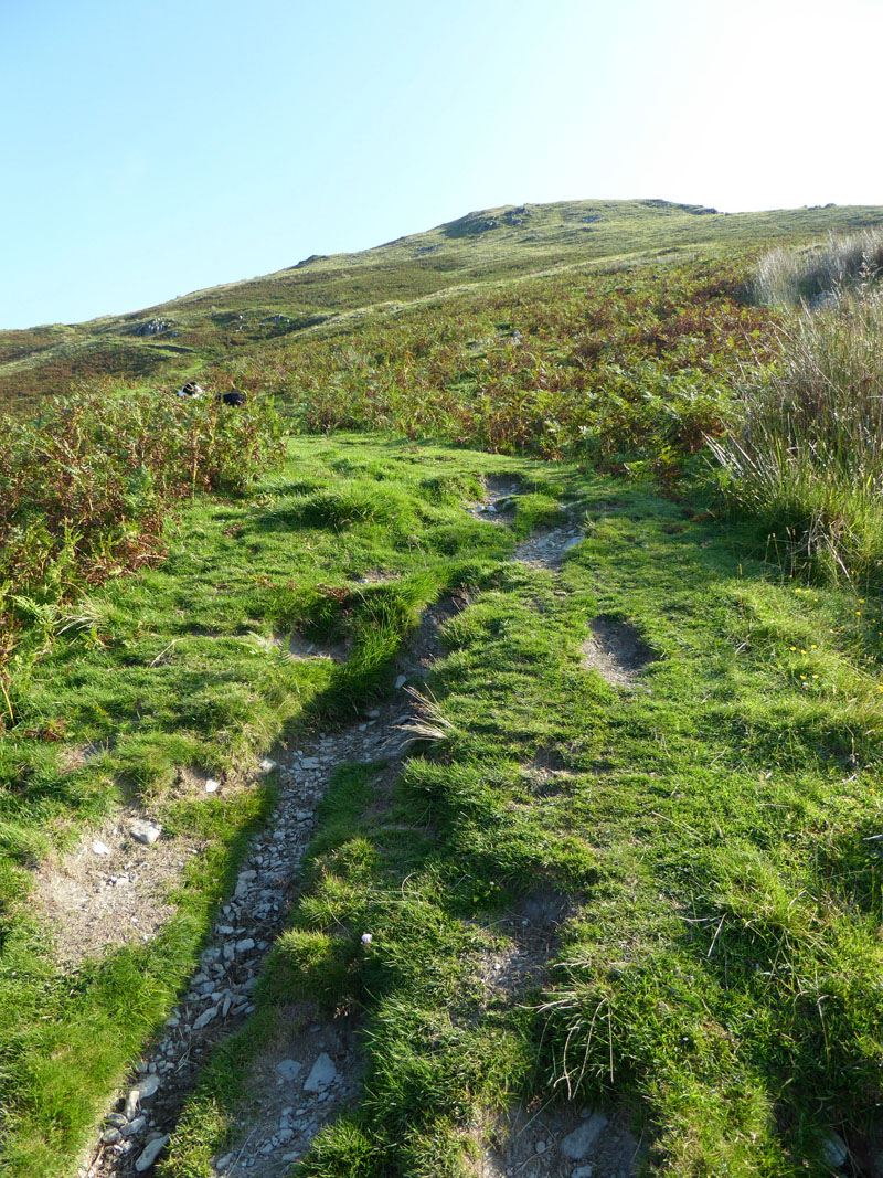
Scot Rake
It's a little over 1,000ft of ascent up here and it's much warmer than expected!
 |
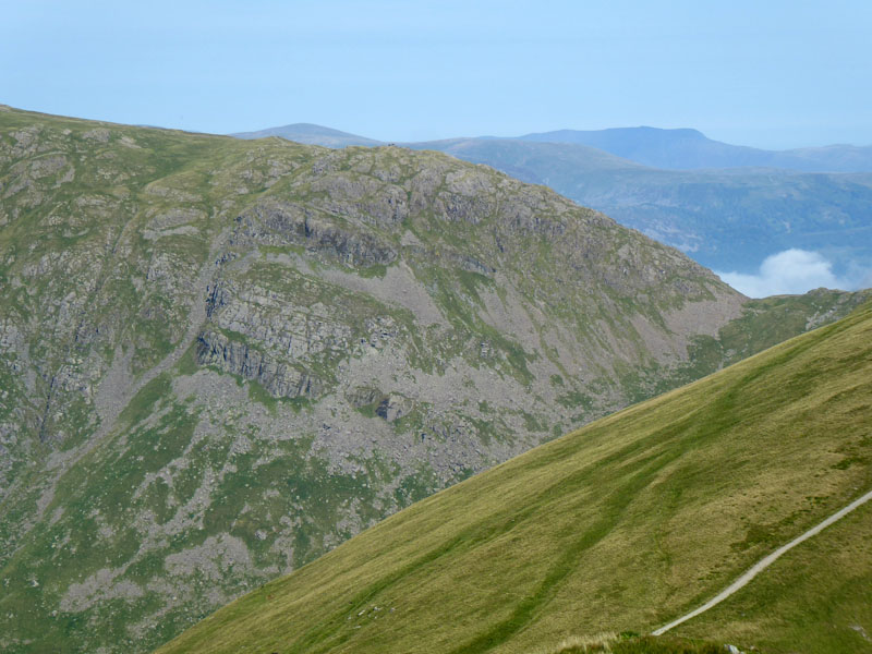 |
Scot Rake |
Threshthwaite Crag |
Quite a pull up here. On the right a view across the valley to Threshthwaite Crag from a point above Scot Rake as we have left such and are heading for the summit of Froswick.
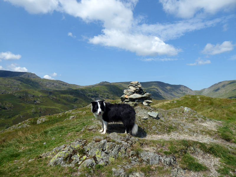
Molly on top of Froswick 2,359ft asl
It's always good to reach the obvious summit of a fell, last time out we had headscratching on both Grey Knotts and Brandreth - no doubts here, nor on Ill Bell behind us, not on today's agenda. Later measurements sugggested it was just over 4.5 miles to the top of Froswick from our starting point. No breeze to cool us down.
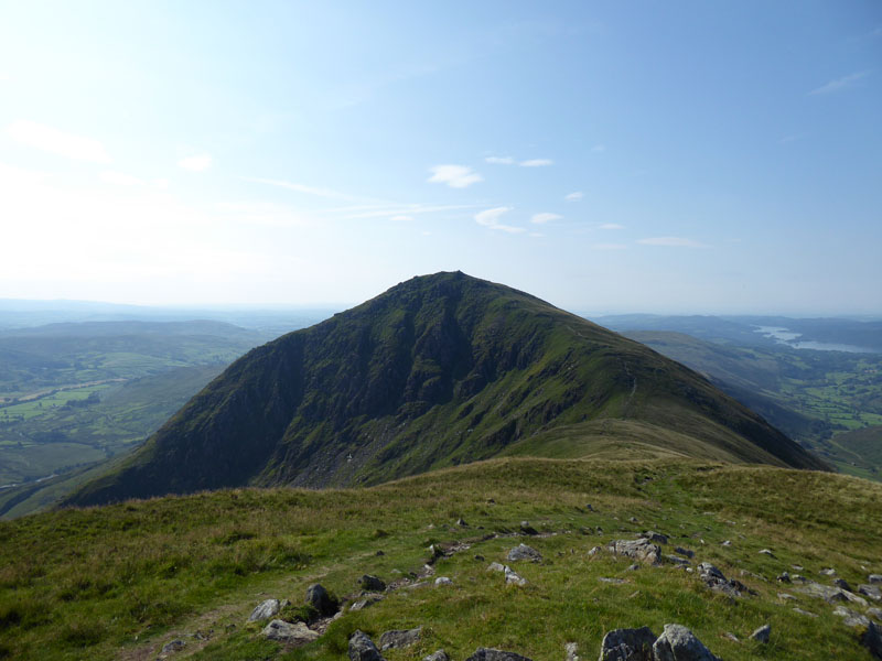
Ill Bell from Froswick
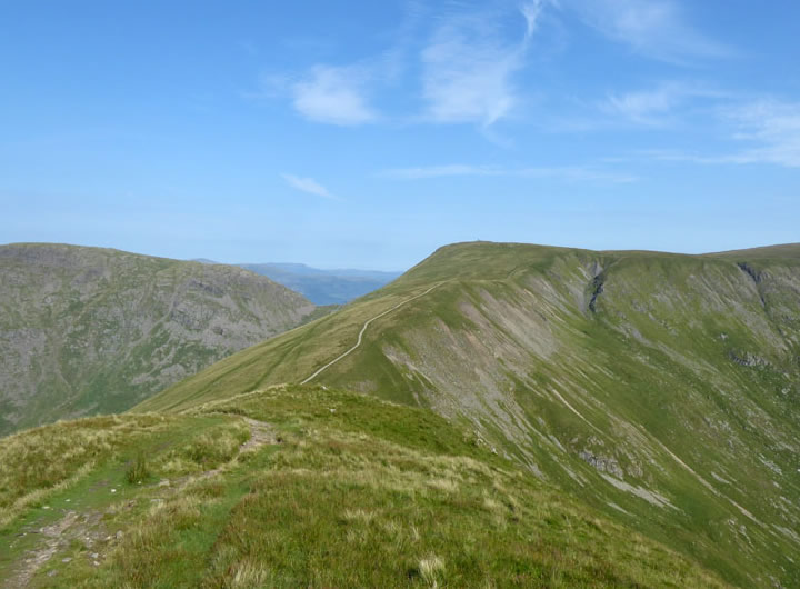
Thornthwaite Crag
This is the view forward to the next part of the walk. We are going to head away from Thornthwaite Crag and follow the top of Gavel Crag and Bleathwaite Crag - all over to the right of the skyline as viewed from here. Our next felltop destination will be Mardale Ill Bell.
 |
|
~~~
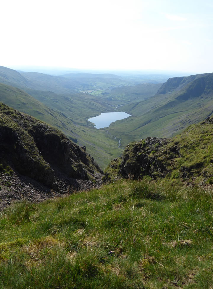
Kentmere Reservoir
Which solitary walker hasn't sat on the flat rock here to take in this view? There isn't room for two.
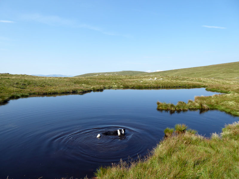
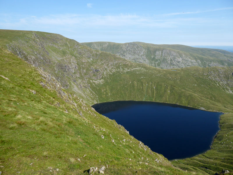
Mardale Ill Bell Pool
Last time, I was wondering when does a pool become a tarn? This more than obvious body of water does not feature on OS 1:25,000 scale map, nor does it warrant a mention in Wainwright's pages, text or map. But it is here and Molly had no difficulty finding it. I think the generally undisturbed surface of the water bears testament to the fact that there is no breeze at all up here.
Molly on top of Mardale Ill Bell 2,496ft asl
I had planned to take lunch up here somewhere, but it was heavily populated with all manner of flies. So, without delay, we head for High Street summit; 4/5 mile away on Racecourse Hill.
Blea Water
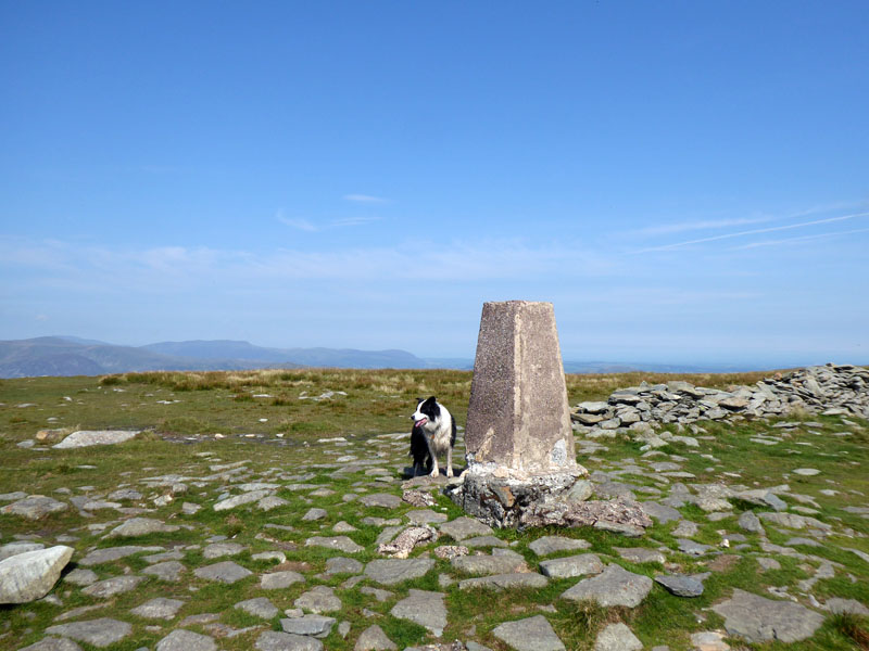
Molly on top of High Street 2,718ft asl
The highest point on today's walk. There is no shelter from the direct sunlight, we settle in a slight hollow behind the wall which runs north-to-south. Other perspiring bodies litter the scene!
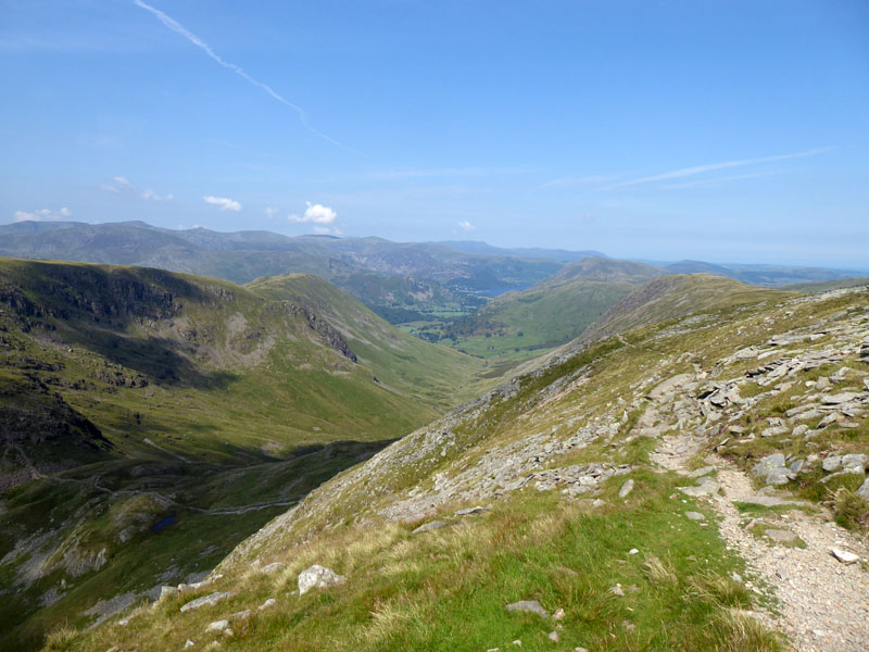
To Thornthwaite Crag
One can either follow the tracks of shepherds' buggies or tread the stony path just to the right of here. Romans have roamed here. Did they ever have to distance socially or from bubbles? Pity the humble soldier who dropped litter!
~~~
It looks as though the beacon is actually a chimney and letting off steam. We're clocking up the miles on this one, but not too much climbing after the initial push up Froswick.
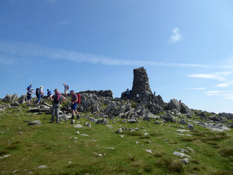
Thornthwaite Beacon
Is it me, or is it not as tall as it used to be? There appears to be a sign on the beacon - is it a H&S notice or a reminder to keep 2m apart from everyone else - unless they are in your bubble.
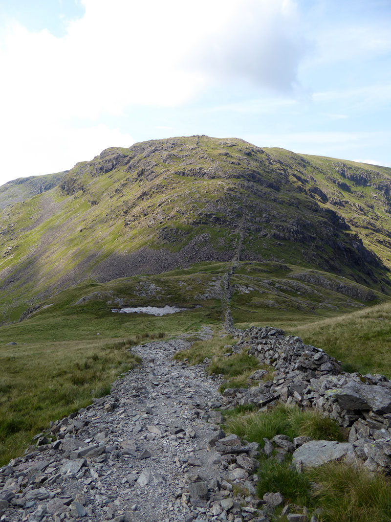
To Threshthwaite Mouth
It's quite a steep path down here. I bumped into a couple of Pendle regulars and we exchanged the usuals - we all agreed that Pendle Hill has become much more popular in the last couple of years. The restriction on international travel has put extra pressure on all UK outdoor hotspots.
Threshthwaite Mouth
In the dip, we will turn left (south) and enter Trout Beck at its infancy. Molly is ready for a dip in the first available pool.
Trout Beck
Molly Cools Off
Just here, I took my boots off, plugged some tunes in and had five minutes on a suitably sloping rock. Fantastic!
Trout Beck
"They" have planted some trees and enclosed such with a fence. Viewers will notice that Trout Beck keeps to the west of Troutbeck Tongue, so we need to cross the beck and head up the far side.
 |
 |
~~~
Looking back, Trout Beck on the left and Froswick on the right, with Blue Beck in the centre of the photo.
Molly on top of Troutbeck Tongue 1,191ft asl
My first return up here since May 2010. The summit and southern end are much more appealing than that trudge up the spine which we have just undertaken. Hot!
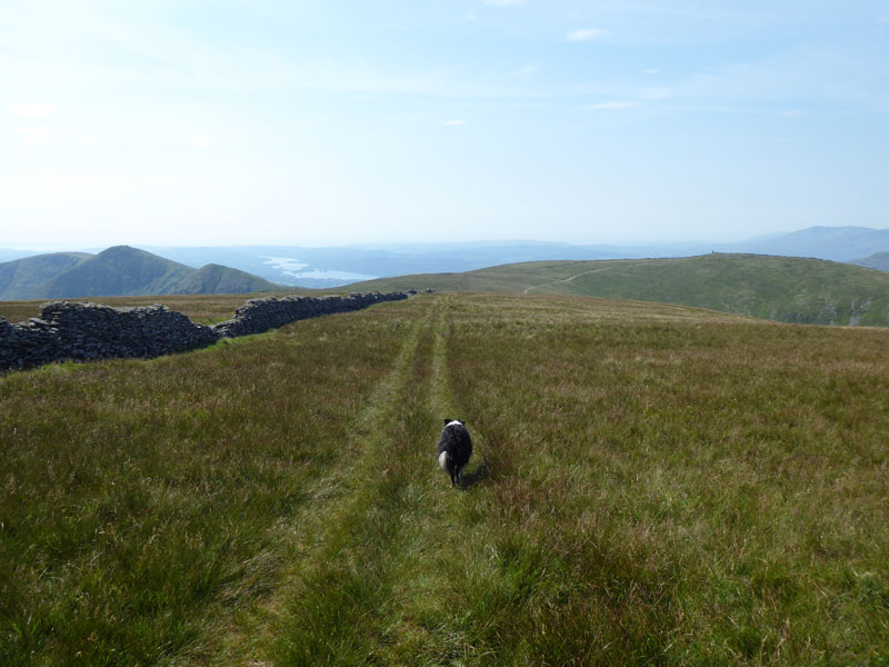
The Descent
Troutbeck
Our final destination is still a long way away. Somewhere near the woods in the distance.
Looking Back to Troutbeck Tongue
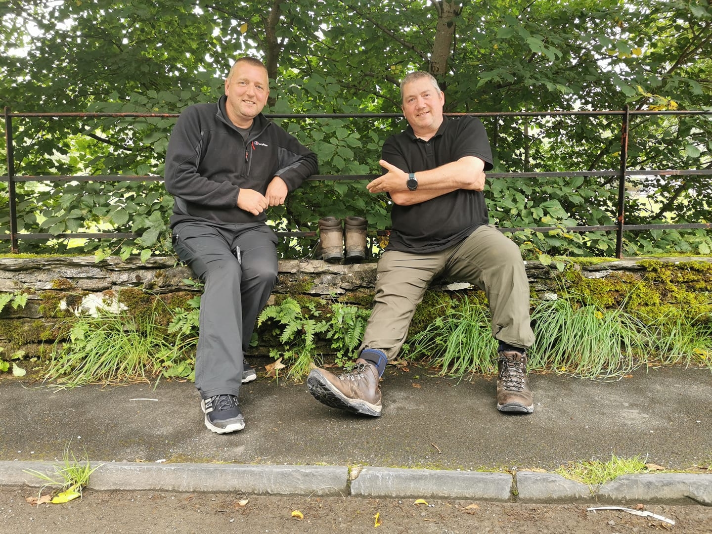
It wasn't until I was looking for such on the following morning, that I realised I had left my boots outside the car and travelled home without them. I put an appeal out on Facebook and also contacted a couple of Troutbeck contacts via a local website. See below.
Walkers: Molly and Me.
Time taken: 8hrs over a distance of about 15 miles.
Route: Troutbeck, Limefitt Park, Hagg Gill to Froswick, Scot Rake, Froswick, Mardale Ill Bell, High Street, Thornthwaite Crag, Threshthwaite Mouth, Trout Beck, Troutbeck Tongue, back along the bridleway to Limefitt and Troutbeck.
Weather and conditions: Sunny throughout and very warm, even hot in places - no breeze!
Refreshments: A pint of pop at the pub within Limefitt Holiday Park.
Andy and Steve
Andy and Steve had been camping up on Haystacks and when they got back to civilisation they picked up my plea on social media. They kindly detoured from their trip home to Nelson, Lancs and found my boots. Later in the day, I had my boots and they had bonus beers. I know Steve from Pendle walks; us Pendlers get everywhere!
All photos copyright Richard Ratcliffe 2020 ©
Take me back to the start ....