
~Scar Crags to Grisedale Pike~
21st September 2019
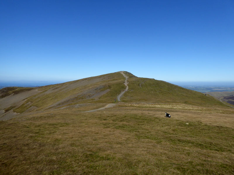
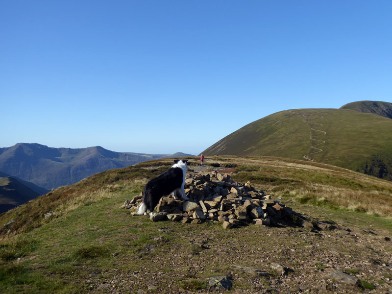
Hopegill Head
 |
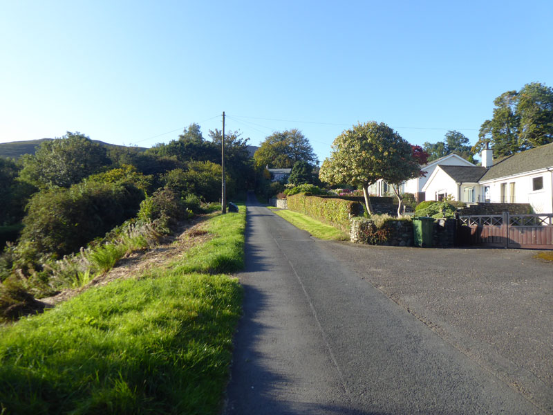 |
Today's walk started at 08:40hrs from Scotgate Campsite in Braithwaite, Cumbria. Soon we were heading up the lane towards High Coledale en route to "Barrow Door".
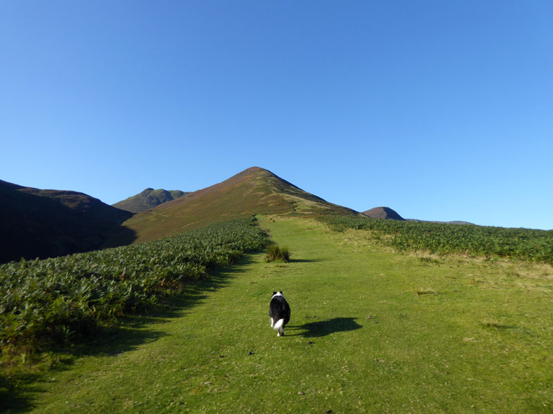
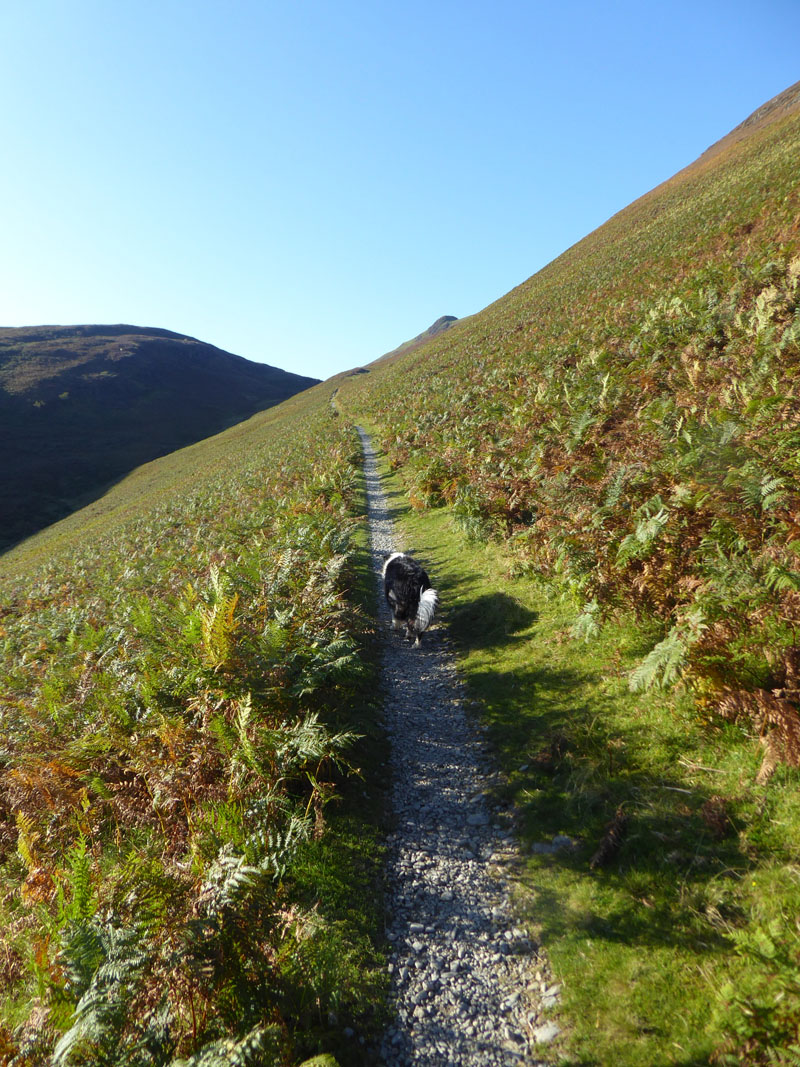
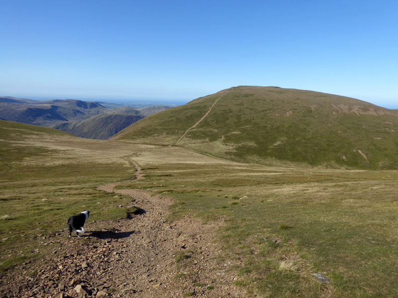
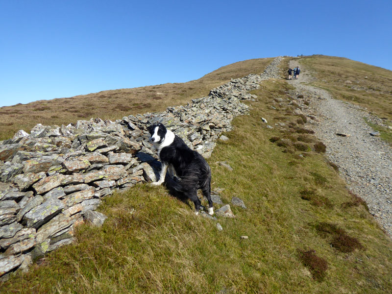
Stile End
This broad grassy track aims directly for Stile End, but we will take the gently climbing path off to the left, behind which Causey Pike can be seen.
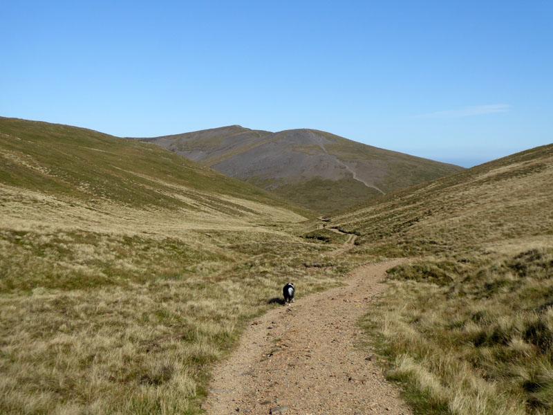
To Barrow Door
It's another warm day, but a little breezy and the Mountain Weather Information Service has warned about the strength of the wind on the summits and walkers need to be wary of "ferocious gusts" on exposed paths.
Outerside
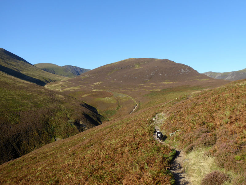
Our path will join the one from Stonycroft which rises from the gill of the same name and we will head towards Sail Pass with Outerside in clear view ahead of us at this point.
High Moss
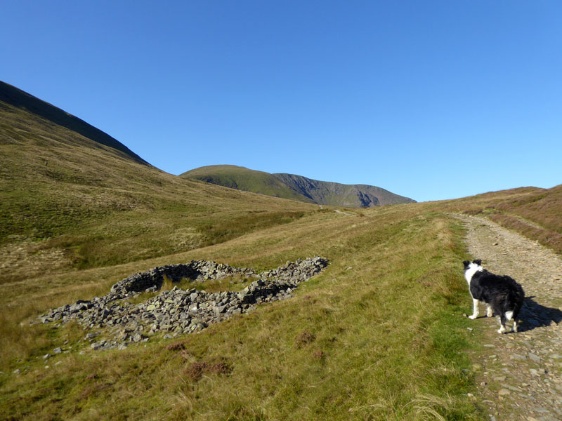
Not far past this sheepfold and before Sail Pass, a path (not on OS maps) branches off and heads for Causey Pike. I would rather not do an out-and-back from Sail Pass, so we take this path and then walk directly up on to Scar Crags long before reaching the incorrect target of Causey Pike.
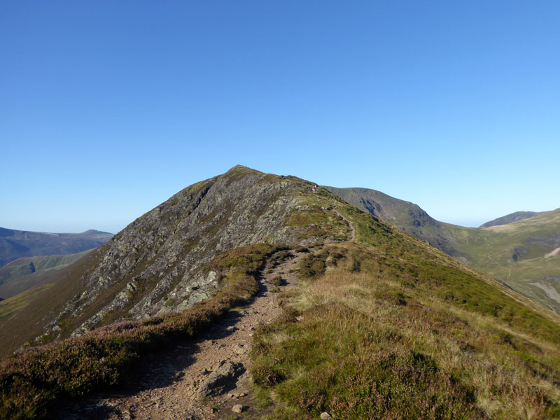
Scar Crags
Molly on top of Scar Crags 2,205ft asl
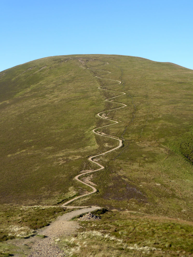
The Sail Zig-Zags
Well, it's all been said already about this type of path repair, but in its favour I found I could keep walking all the way up without any breaks. If it had been a badly eroded, deep trench of a path, I'd have been having a few little stops on the way up.
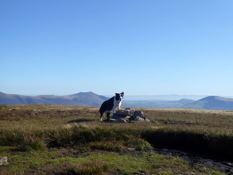
Molly on top of Sail 2,530ft asl
I'm sat on the lip of what is sometimes a large puddle, but not today.
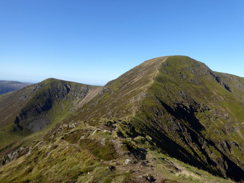
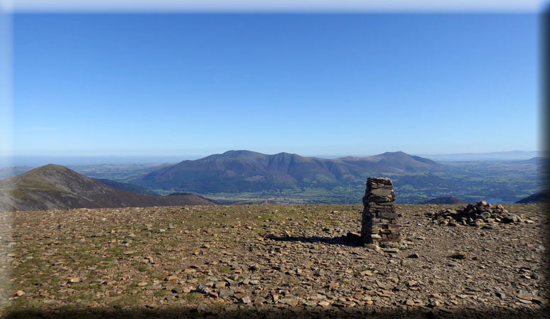
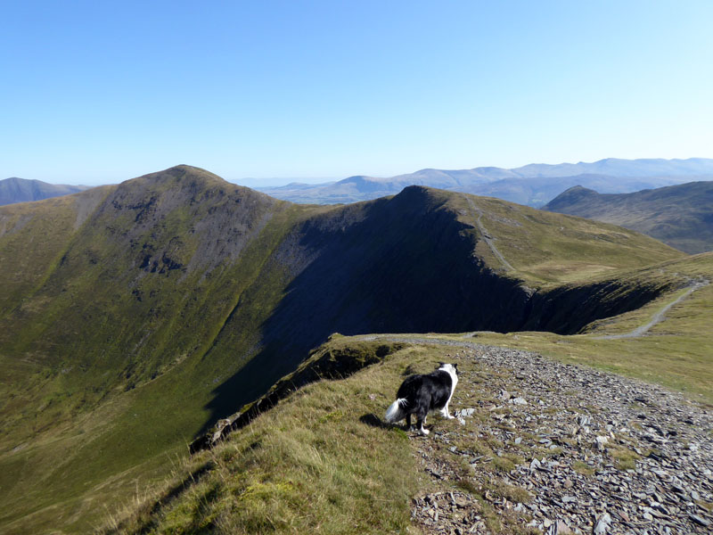
Eel Crag
This view shows Addacomb Hole on Wandope where we were yesterday. It's 320ft of ascent to the large plateau summit of Eel Crag.
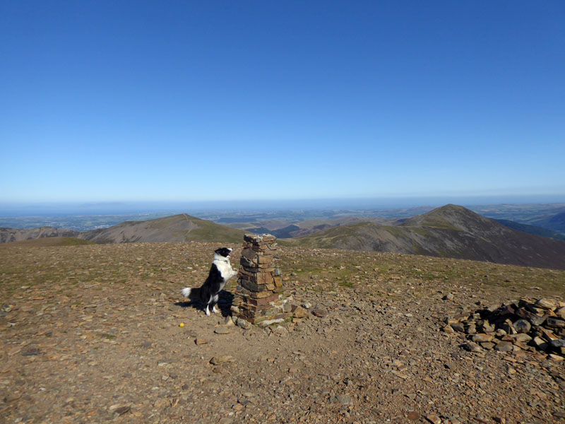
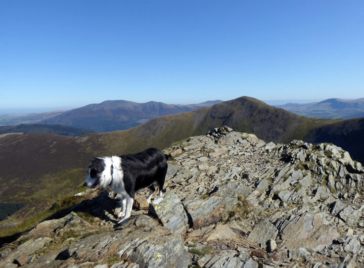
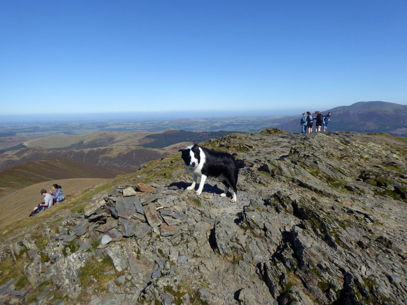
Molly on top of Eel Crag 2,749ft asl
This is surely my favourite fell top in English Lakeland. I always feel great up here and it is so good to see the repaired trig point. The views are immense in all directions, even if you have to move a little away from the highest point to get the best view to Buttermere. A hundred, even a thousand folk could assemble here or ball games could be played (there is a sharp drop to the north).
~~~
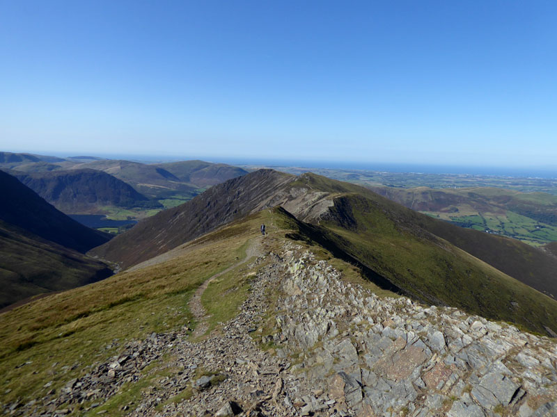
to Coledale Hause pt.1
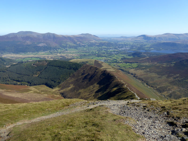
The plan now is to find some water for Molly. I am carrying plenty but she loves nothing more than to lie in a cool mountain stream. Usually water springs from the ground on the north side of the depression (above) and the path there leads down to Coledale Hause - avoiding the very steep descent off Eel Crag. The fell in front of us is Grasmoor, not on today's agenda.
to Coledale Hause pt.2
Water! not far now, just down there on the left and Coledale Hause is ahead with Hopegill Head looming up as the next target.
Hopegill Head
Nearly at felltop number four for today.
Molly on top of Hopegill Head 2,525ft asl
 |
 |
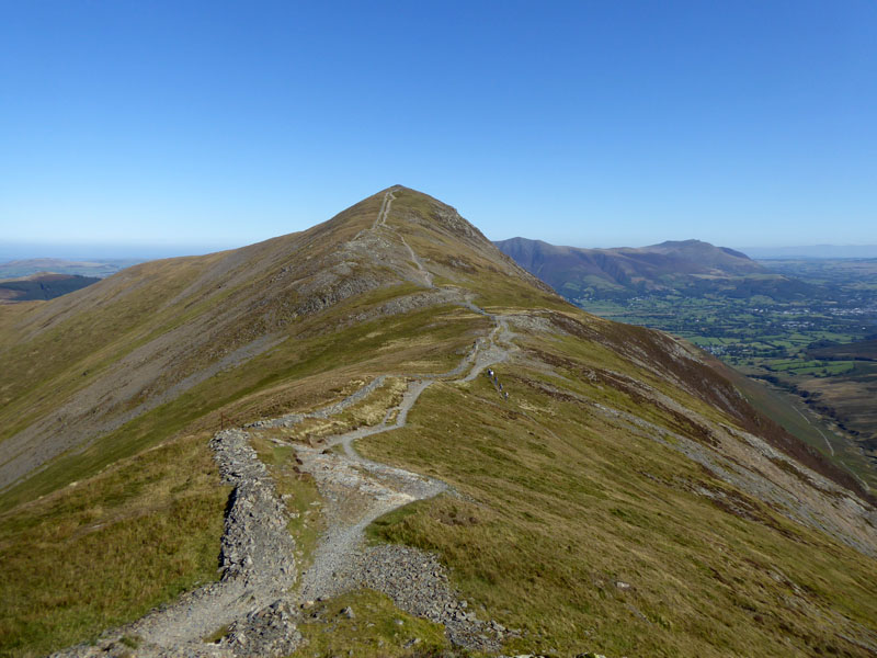
Whiteside |
to Grisedale Pike |
Now for an easy (but for the wind) wander across to Grisedale Pike. If the horizon looks a bit wonky on any of these photos, it's not easy holding the camera steady in the conditions up here! That's my excuse...
Grisedale Pike

Hobcarton Plantation
The view to the west from the ridge between Hopegill Head and Grisedale Pike. Ladyside Pike is on the left of this view.
 |
 |
Ferocious Gusts! |
Molly on top of Grisedale Pike 2,593ft asl |
No need for an anemometer here, Molly's rear quarters indicate that we have reached the "ferocious gusts" stage of the walk. Usually you might encounter sandwich eaters on the top of Grisedale Pike, but they have been displaced to the more sheltered side of the fell.
Descent Route
We start the descent in the gusty winds and soon encountered a mountain biker who was finding it almost impossible to carry his bike up the steep ridge. It's something I don't quite understand, but each unto their own....cyclists are allowed to carry their bikes on footpaths, but riding is limited to bridleways when in the countryside.

Kinn
Easy walking along Kinn's grassy top.
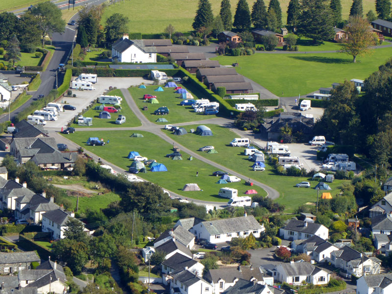
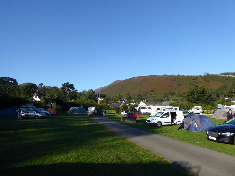
Scotgagte Campsite
I'm pretty sure there has been a change in ownership since last year, but not much has changed. The shop keeps less hours, you can now book a pitch for camping they ask a few too many questions when you book in, but it's still one of the best campsites in the Lake District.
 |
 |
 |
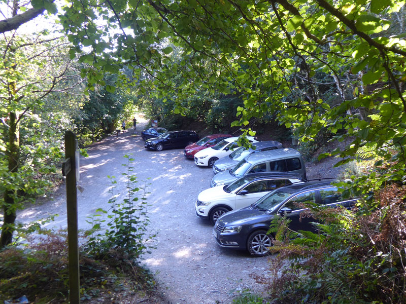
Kinn Quarry |
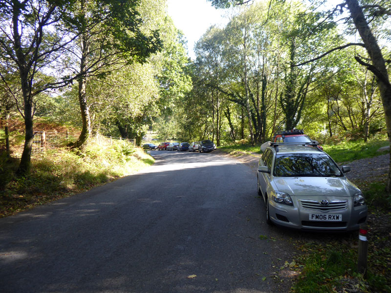
Roadside |
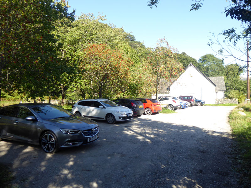
nr. The Church |
I was asked about parking for a walk in Coledale or up onto Grisedale Pike. I found room for up to 10 cars in the old quarry, just off Whinlatter Pass; 10 more have parked on the road where it is wide enough just below the Kinn Quarry car park and another nine have parked close to the white church in Braithwaite - just over the bridge on the way to The Coledale Inn. These are the free of charge options; the school in Braithwaite offers parking for £3 on any day that the school is not open. If you like to pay a little more to park, there are some Whinlatter Forest Car Parks further up the pass, but not too close to Coledale and Braithwaite.
Just some of the parking opportunities in this area.
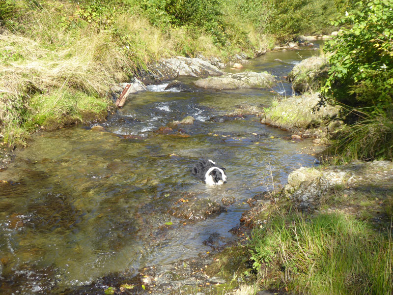
Coledale Beck
Another water opportunity for Molly. Two great walks in the North Western Fells - in the morning after this walk, I packed a wet tent.
Walkers: Molly and Me.
Time taken: 5hrs 20mins over a distance of about 10.5 miles.
Route: Scotgate, High Coledale, Barrow Door, Scar Crags, Sail, Eel Crag, Hopegill Head, Grisedale Pike, Kinn, Braithwaite.
Weather and conditions: Warm, sunny and rather windy on the tops.
Refreshments: I got back to the tent at 1415hrs and later went into Keswick and found myself in The Royal Oak. A fine pub where dogs are welcome and the food is good.
All photos copyright Richard Ratcliffe 2019 ©
Take me back to the start ....