
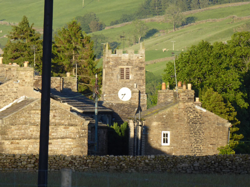
~Muker to Keld~
22nd June 2019
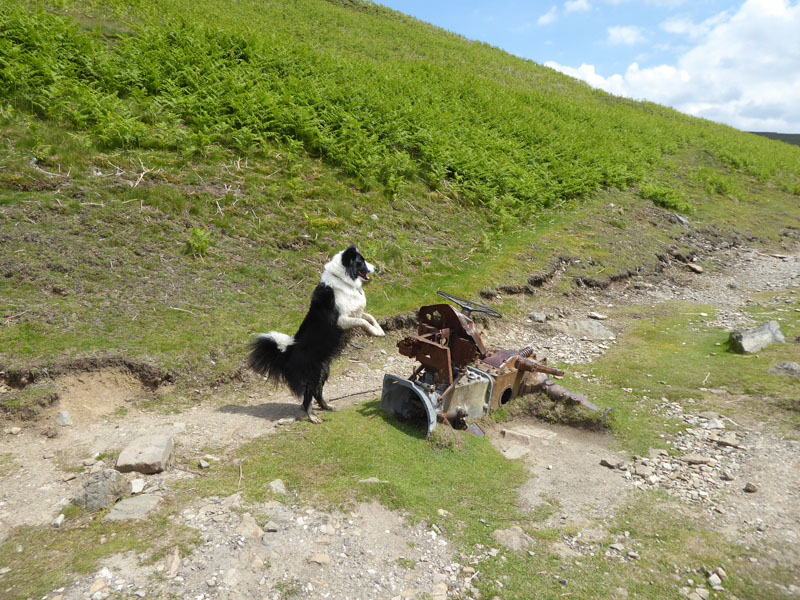
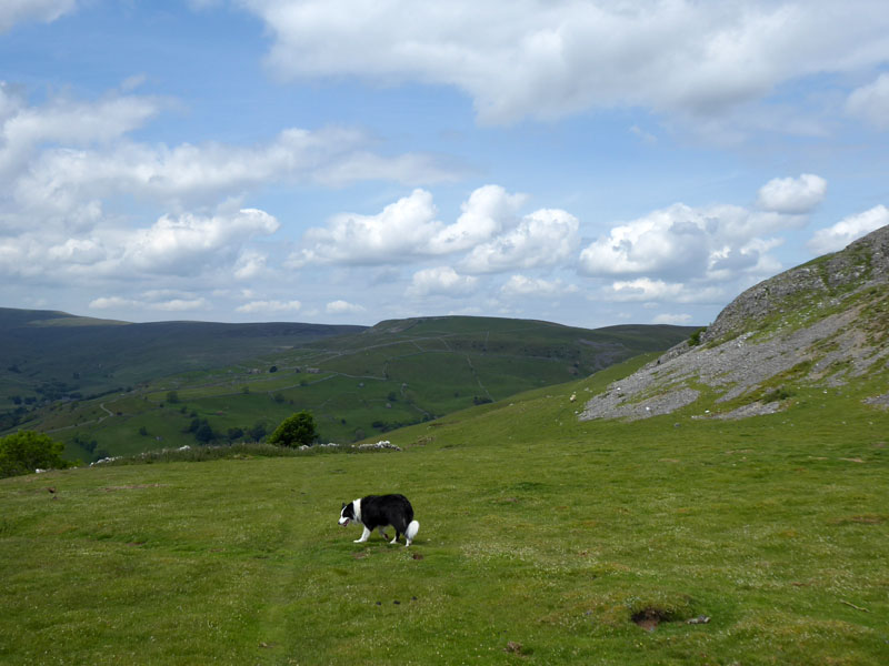
Molly & The Tractor
 |
 |
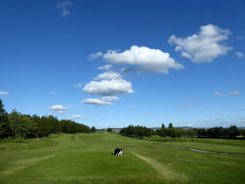
At last a weekend in June with a good weather forecast! On Thursday 20th, Molly enjoys a walk across Nelson Golf Course with a generous expanse of blue sky and cotton-wool clouds helping us along. On Friday 21st, the "longest day" of the year, we travelled to Muker in North Yorkshire for two nights at Usha Gap Campsite - a beautiful campsite in a fantastic location.
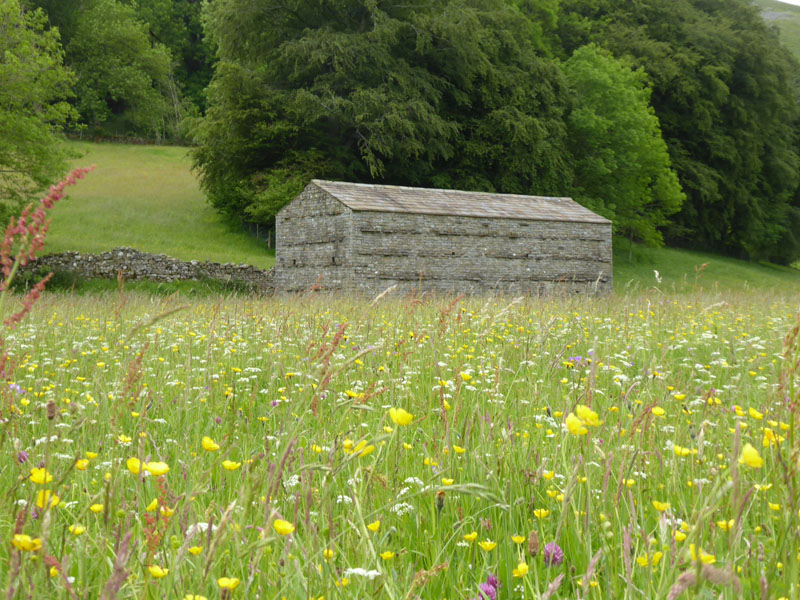
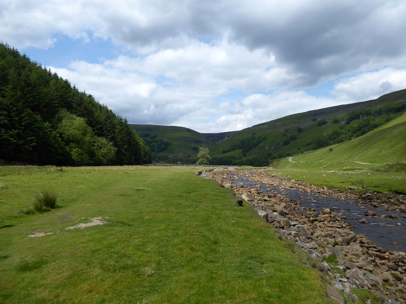
Muker Meadows
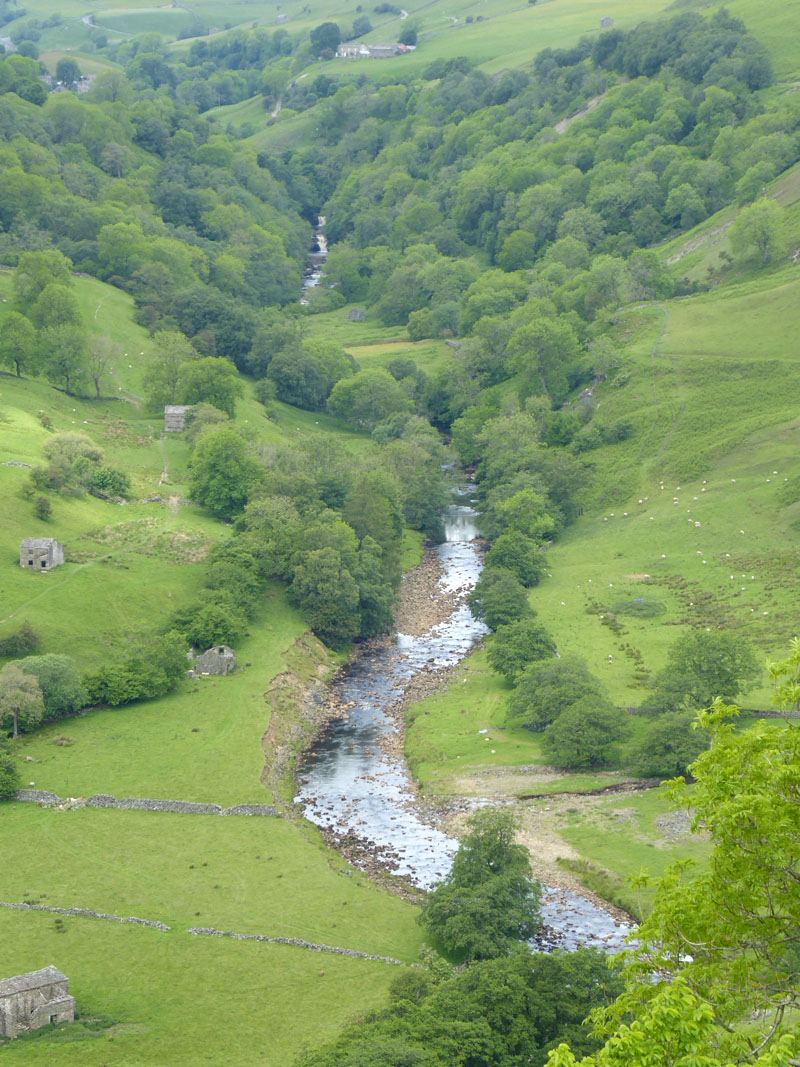
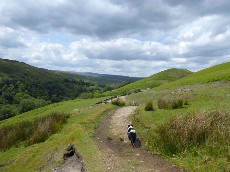
Sadly...the early sunshine of Saturday 22nd was quickly replaced by a rather bland grey sky. We set off from the campsite and walked across the first set of meadows to Muker and then through "the meadows" to Ramps Holme Bridge.
 |
 |
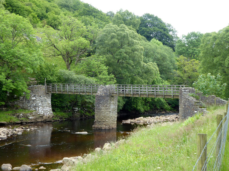
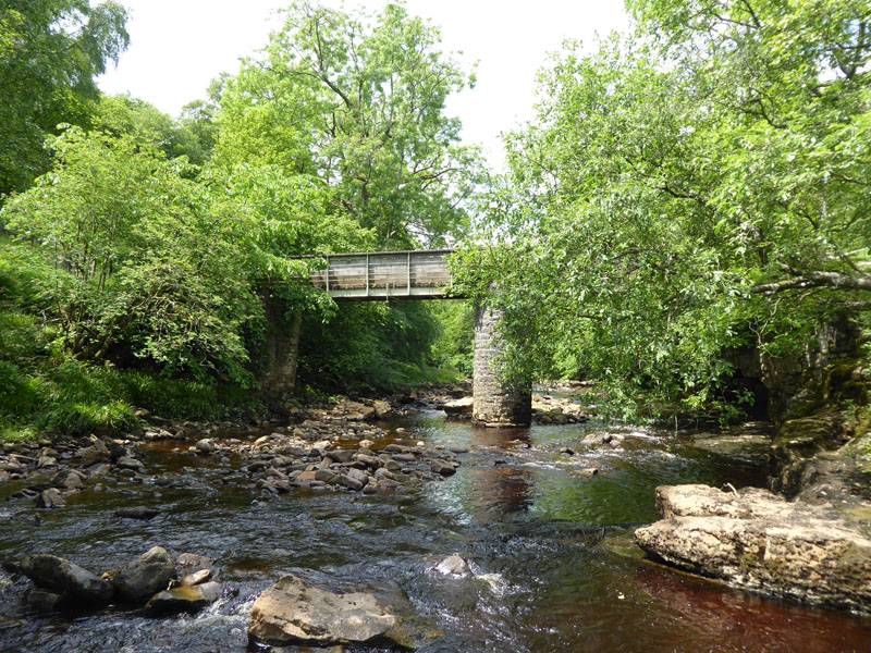
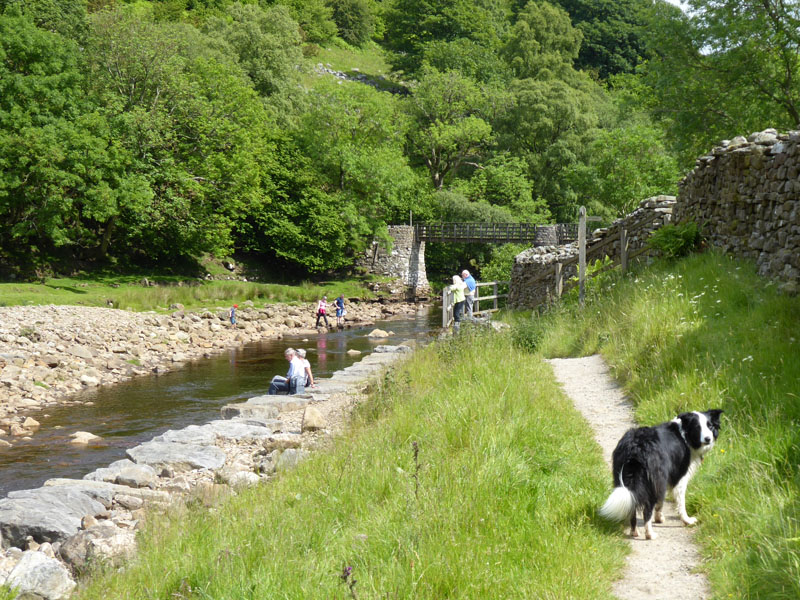
Ramps Holme Bridge |
To Ivelet |
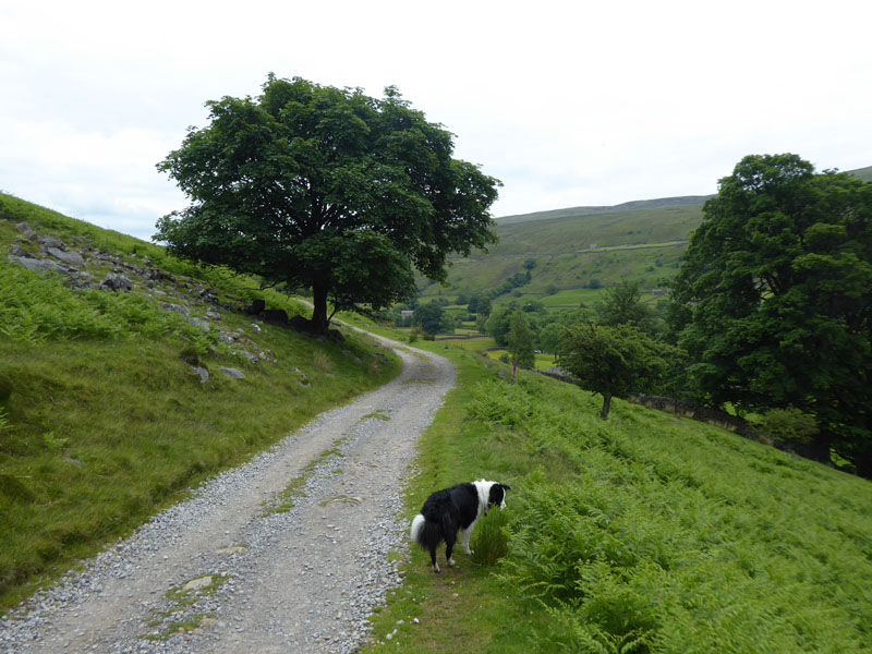
With many hours to fill, I decided to take the track and hence unfenced road towards Ivelet in an easterly direction.
~~~
 |
 |
On the left, the house is as far as we went in the easterly direction before taking the footpath returning us in a westerly direction on to the "high" path above Swaledale. First signs of brightening skies over to the west.
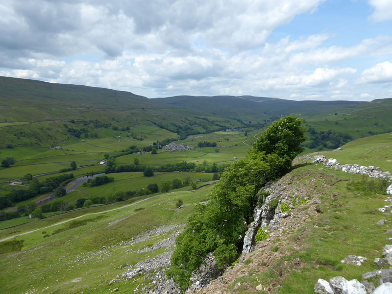
Low Kisdon
The map shows this cliff face as "Low Kisdon" with Kisdon Scar up to our right.
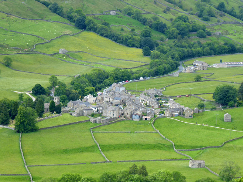
Muker
The village of Muker is clearly seen from up here.
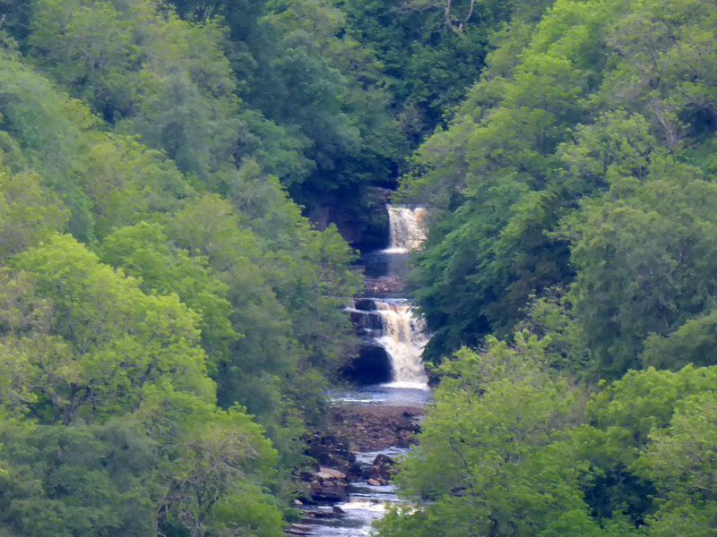
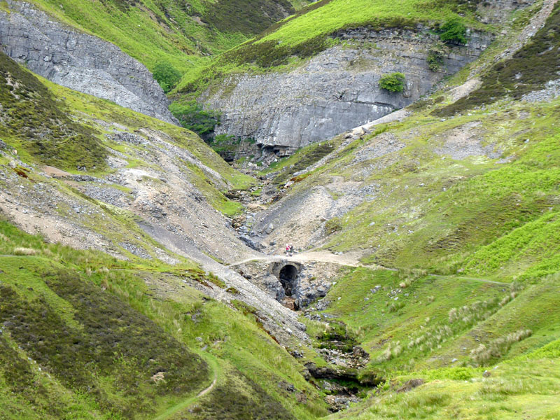
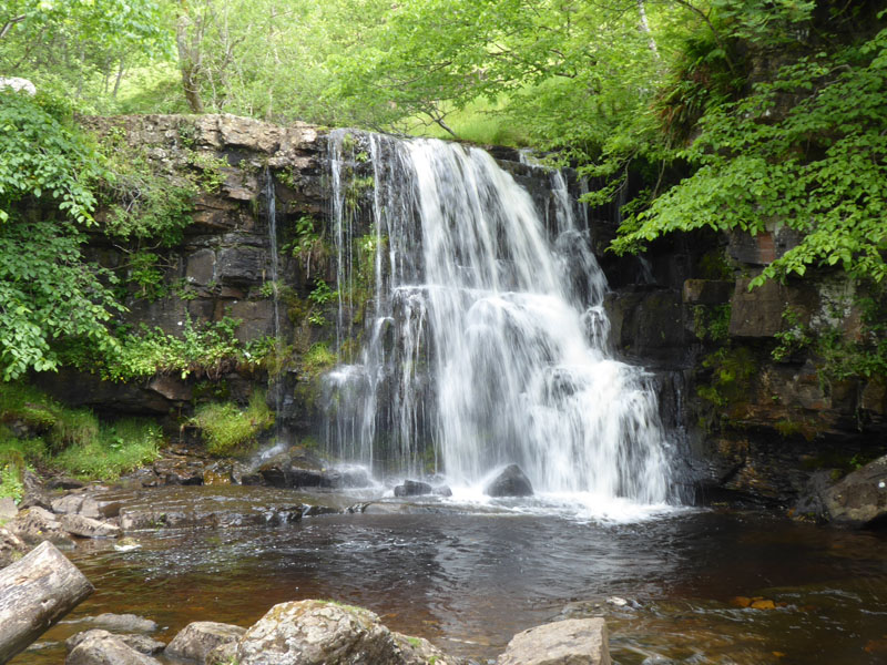
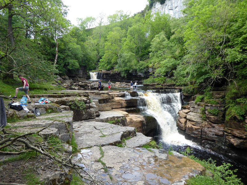
Kisdon Forces
Just how all matters Kisdon acquired their names is not known to me. Four references to "Kisdon" on our walk so far.."Bottom", "Low", "Scar" & "High". Here we see the two Kisdon Forces in the woodlands of the Swale and there is also the hill "Kisdon" which also boasts "Side" and if you study the map hard enough you will find "Kisdon" - a converted farmhouse, holiday accommodation.
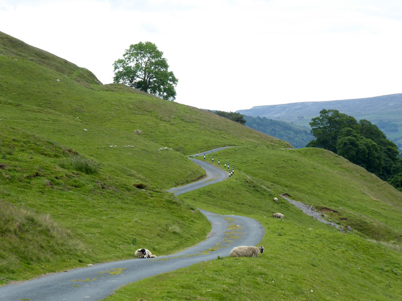
Swaledale
Swinner Gill
We have walked all the way round on the "high" path. It is unsafe in one of the gills along the way. A diversion is signposted and should be followed until the dangerous area has been passed. A couple study the map on the bridge.

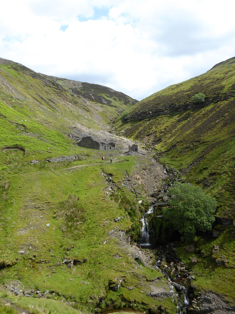
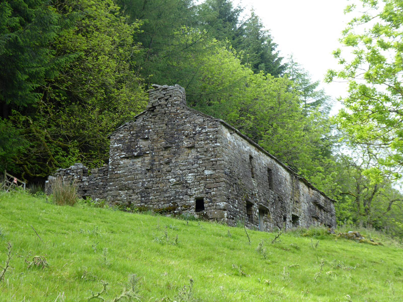
Miners Building
Reminders of the long-abandoned lead mining industry are all around.
East Grain
We head off towards Crackpot Hall en route to Keld.
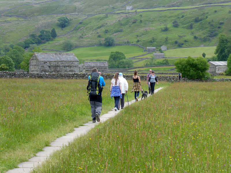
Hikers
It turns out that Sophie and the chap were on the campsite and we're following a similar route to us, but approaching along the valley and then climbing up to Swinner Gill.
~~~
Molly & The Tractor
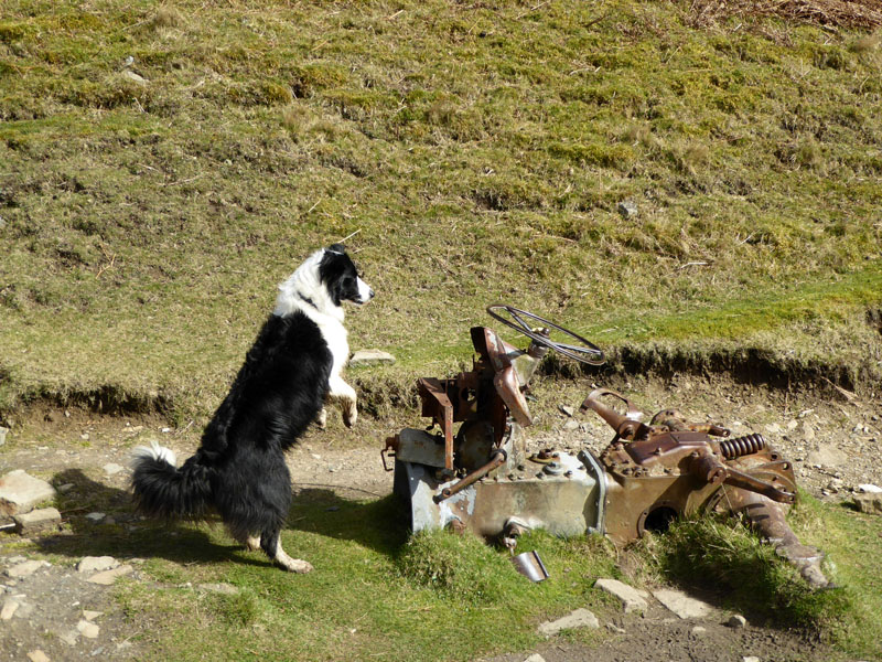
2 Years Ago
She still doesn't quite get it, but it's amazing that this tractorial relic remains here after all these years; a favourite stopping point for many.
 |
 |
East Gill Force |
Keld Footbridge |
There's always one! A lady approached with camera and tripod and expected everyone else to get out of the way - when I'm ready! If you want the place to yourself, then midday at the weekend is not the right time.
Rukin's Tearoom
This is the real reason I come to Swaledale each year. Being a seasoned "Tiffinologist", I come here to check on the state of Rukin's Tiffin. So, for lunch it was tea and toast and for afters a chunk of tiffin. I was not disappointed!
Kisdon Forces (Upper and Lower)
The approach from Keld via a signposted path leads to "Upper Kisdon Force". The only way down to river level from the path is now with the aid of a knotted rope and after a wet spell (like now) it is very muddy. It's do-able, but be warned it's not straightforward and it's messy. This view means a lot to me, only happy times here and I will dive in to the plunge pool again one day, but not this time. I need slightly warmer weather and water and someone to watch over Molly.
 |
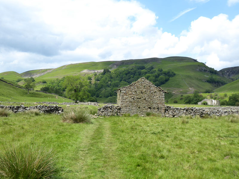 |
Relics of Swaledale
Beneath Rukin Wood is an abandoned farmhouse and along the valley floor are many old "cow houses" or cow-usses, they are not barns, so it transpires; whatever they are, they enrich the landscape.
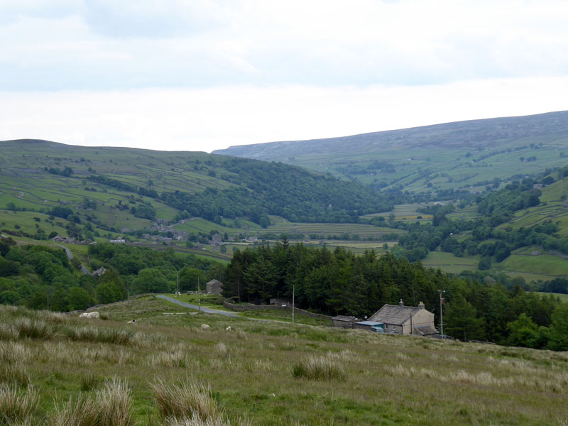
Upper Swaledale
~~~
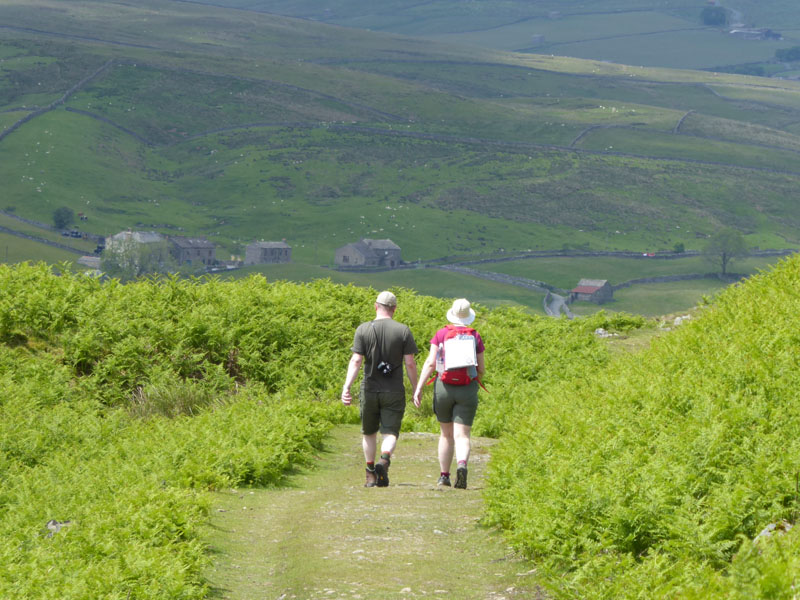
Almost back to where we started.
Meadows
~~~
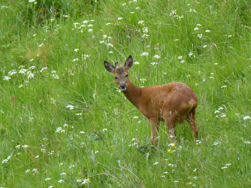
Sunday Morning
The walk finished back at the campsite at about 15:45hrs. The morning after, we had an hour and a half walk down to the river and back via a higher path above the valley floor and came across this browser. In order to get its attention I shouted "Oi" and up popped the head, before the deer scurried off down the hill.
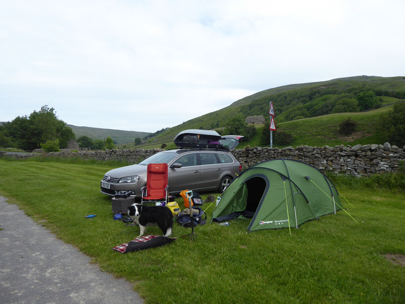
Usha Gap Campsite
Time taken: 6hrs over a distance of about 11 miles.
Route: Usha Gap Campsite, Muker, Meadows, Ramps Holme Bridge, Calvert Houses, Kisdon Bottom, Cock Crow Scar, Ivelet Side, above Arn Gill Scar, Swinner Gill, Crackpot Hall, Keld, Kisdon Forces, beneath Rukin Wood, Swaledale valley floor to Ramps Holm Bridge, Meadows to Muker and back to Usha Gap.
Weather and conditions: Early sunshine, cloudy, brighter and generally warm as the day wore on.
Refeshment Review: Rukin's Tearoom is ideal for light refreshments and nothing too fancy. Later The Farmer's Arms in Muker was fine until a coachload of Mackems turned up- already half-cut and rather bawdy. This is no good for the ordinary drinker and diner and a nightmare for Molly who hates noise and crowds. Still they had one and then cleared off to annoy some other folks wherever the next pub would be.
I am so lucky to be able to take a short drive and reach Swaledale; I dedicate this walk to the memory of our friend and neighbour Shirley who passed away on June 13th - never far from our thoughts during her illness. There is a tough road ahead for Dave, Declan, Luke and Ellie - about 200 attended her funeral and this show of affection will provide them with strength in the coming days, weeks and years.
All photos copyright Richard Ratcliffe 2019 ©
Take me back to the start ....