~Raise to Helvellyn & Beyond~
19th April 2019
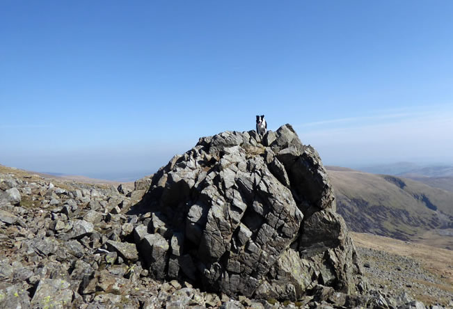
Molly ~ Raise
 |
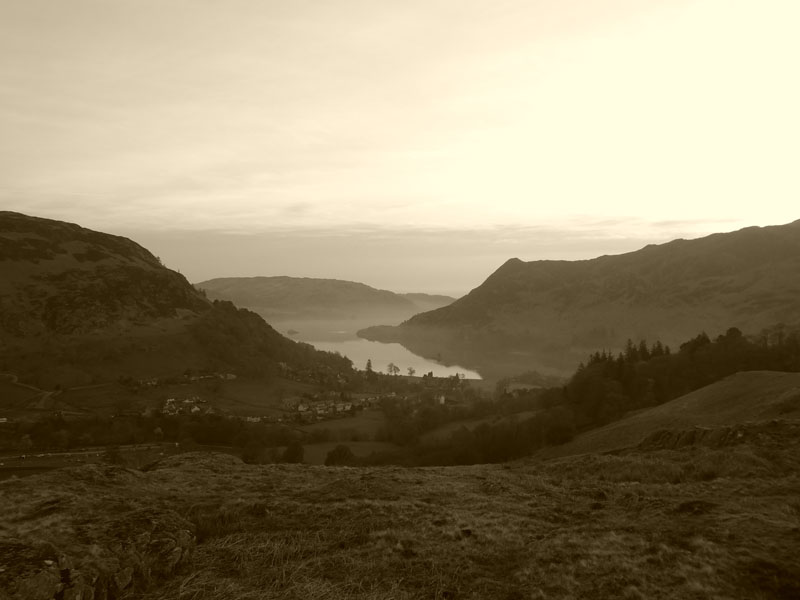 |
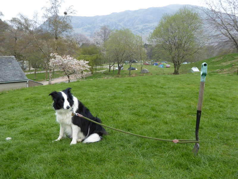
Thursday 18th April sees Me n' Molly head for Gillside Farm in Glenridding for three nights' camping. It's a great campsite and one of the benefits is the abundance of local facilities and ideal dog walking territory in the vicinity. On the morning of Friday 19th, I took the photo of Birk Fell overlooking Ullswater.
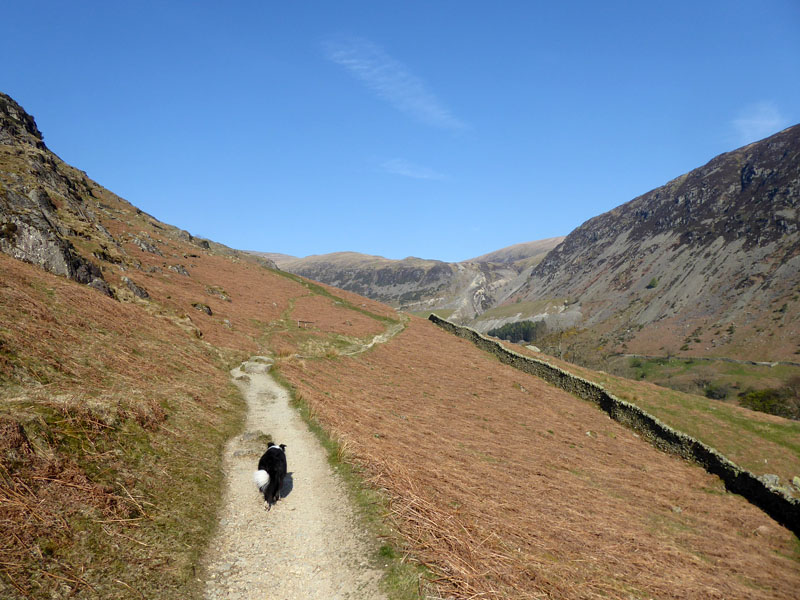
Familiar Territory
Back in October last year, we started our last proper Lake District walk in the same way on this path, today the walk will visit some of the same fells, but the ascent route will be quite different.
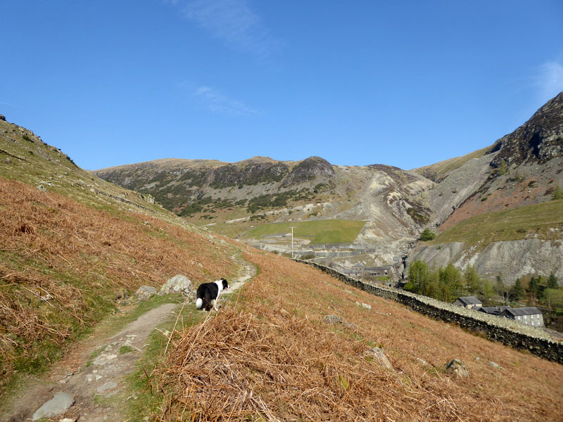
Greenside Mines
We are aiming for the "Chimney Route" - my term - up Raise; this will involve taking Sticks Pass up the side of the beck of the mining area and then finding the "disused aqueduct" - Wainwright - which leads to the base of a disused chimney. Was it an aqueduct or flue to the chimney? Could it have been both?
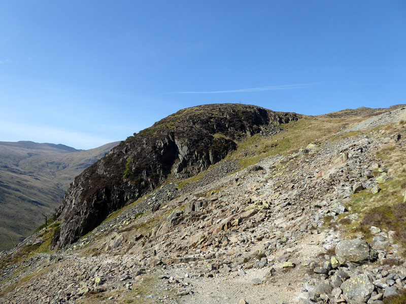
Stang End
A very warm day and the slog up Sticks Pass was not without the occasional rest and sip of water. The crag of Stang End marks the start of the Chimney Route.
 |
 |
~~~
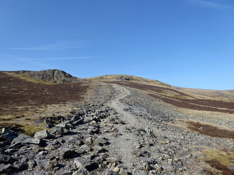
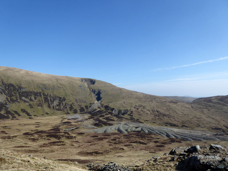
The route up Raise (left) and a look across at the quarries and tips of days gone by.
The Chimney
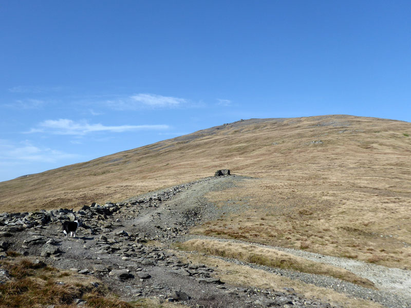
Navigation is easy today. Ahead, on the horizon, is the notable rock tor on the eastern flank of Raise.

Raise Rock Tor
Molly made her own way up to the top of the tor and probably thought she was at the top of the fell.
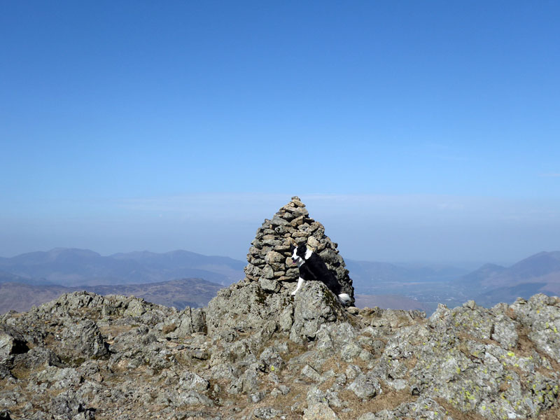
Molly on top of Raise, 2,889ft asl
 |
 |
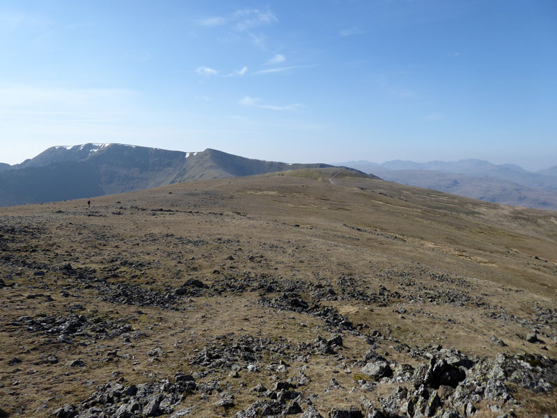
To and on White Side
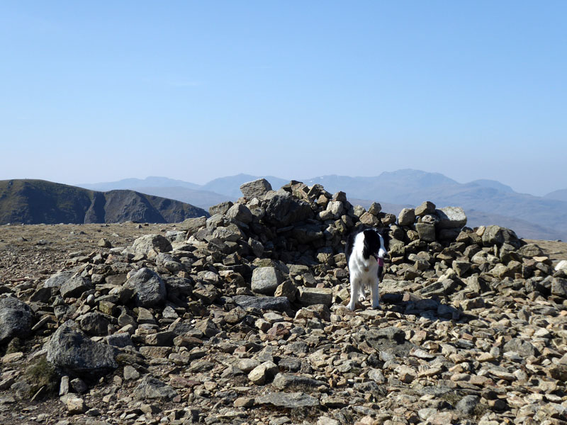
Easy walking to White Side and Molly checks out the small shelter. Lunch is taken here for fear of large crowds being present on Helvellyn on this sunny and warm Good Friday.
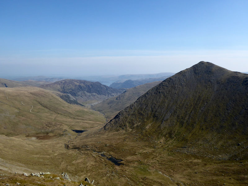
Keppel Cove and Catstycam
The 450ft ascent of Helvellyn Lower Man from White Side is quite steep and offers a great view of the north-west ridge of Catstycam. The climb up Catstycam from Keppel Cove is one of the best ascent routes in the district.
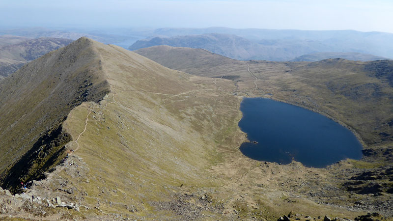
Swirral Edge and Red Tarn
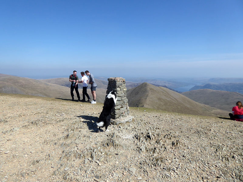
Molly on top of Helvellyn 3,118ft asl
Helvellyn Summit is a fellwalkers' mecca and the fell has become a tourist trap. I suppose most folk can find their way up on a day like today, maybe using the "follow everybody else" mantra. But everyday somebody or some dog will struggle on Striding Edge, we keep off as I know it's not for Molly. Take care! There are lots of ways of reaching the top of Helvellyn without unnecessary risk.
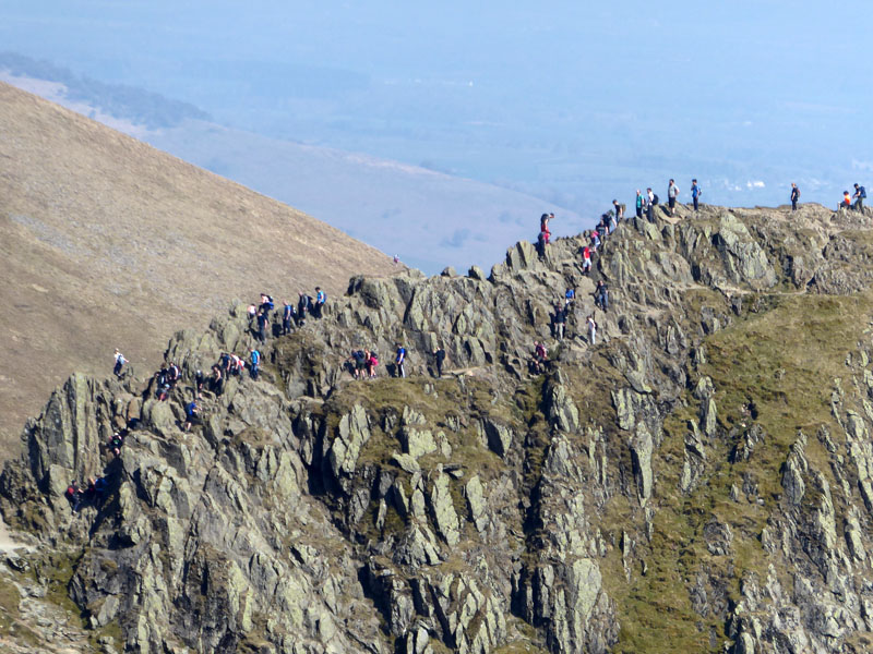
Striding Edge
Great, init?
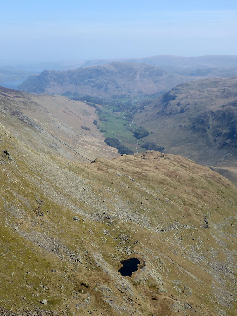
Hard Tarn
The view down to Hard Tarn, Grisedale and Place Fell from the ridge route between Nethermost Pike and Dollywagon Pike.
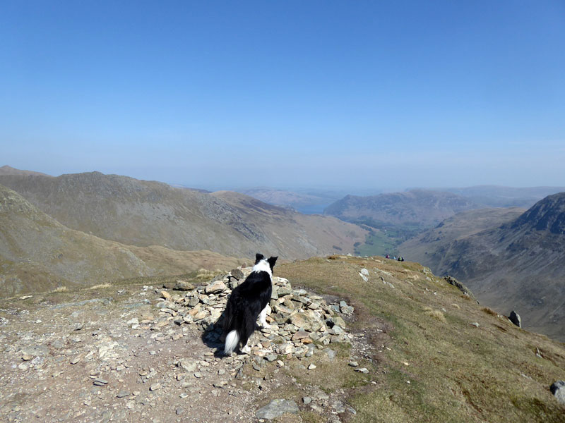
Molly on top of Dollywagon Pike 2,810ft asl
Walking this felltop route on a day like today is just the job after the winter months of limited opportunities and, in my case, many Saturdays in work. Hopefully that is behind me now as our main machine at work was moved and rewired.
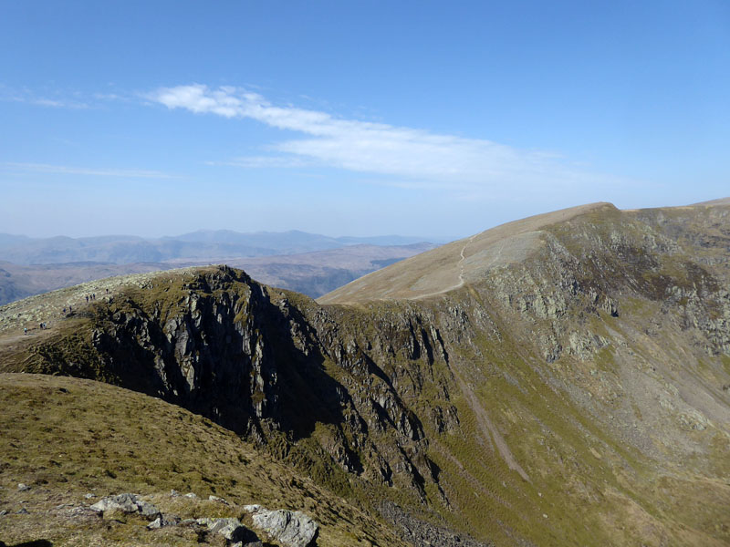
High Crag
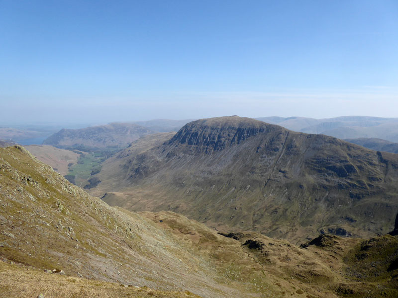
St.Sunday Crag
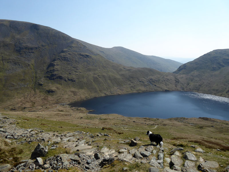
Grisedale Tarn
Refreshment opportunity for Molly.
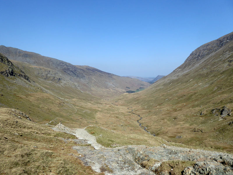
Grisedale
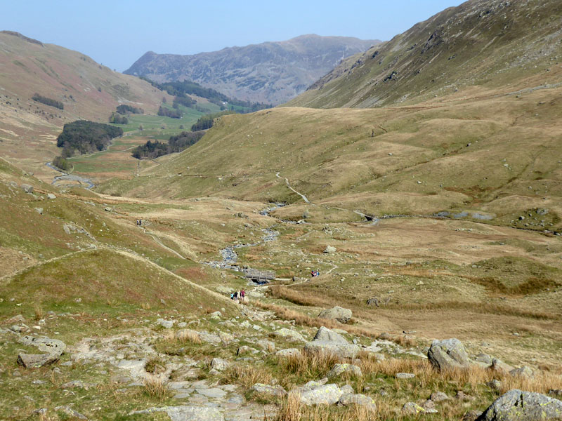
Last time we kept to the left as you view this photo and on this occasion, it was over the second footbridge you can see and along the path to the right for a walk down to Patterdale. I was debating calling in at The White Lion, but didn't.
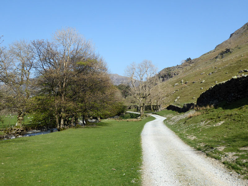
Nearly There
Once we reached the road, it was a matter of turning left for Glenridding and making our way back to the campsite.
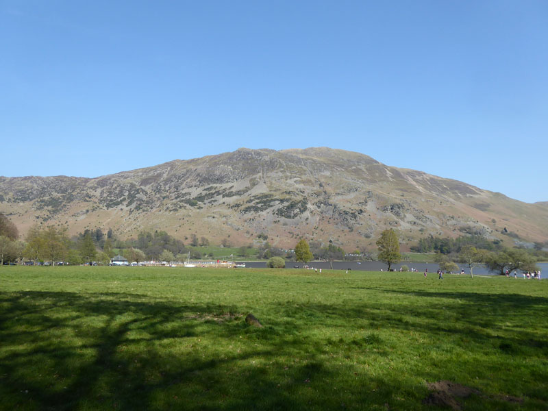
Place Fell
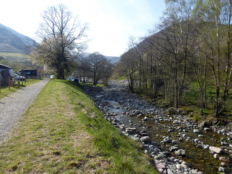
Glenridding Beck
Walkers: Molly and Me.
Time taken: 7hrs over a distance of about 12.5 miles.
Route: Glenridding, Glenridding Beck, Sticks Pass, Chimney Route up to Raise, White Side, Helvellyn, Nethermost Pike, Dollywagon Pike, Grisedale Tarn, Grisedale and back to Glenridding.
Weather and conditions: Warm and Sunny
All photos copyright Richard Ratcliffe 2019 ©
Take me back to the start ....