
~Buttermere to Stonethwaite~
"High Stile to Grey Knotts"
9th June 2018
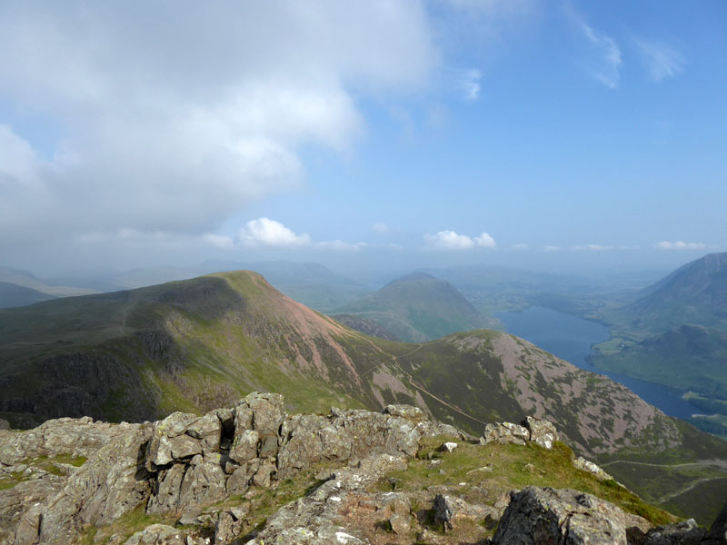
Red Pike from High Stile
 |
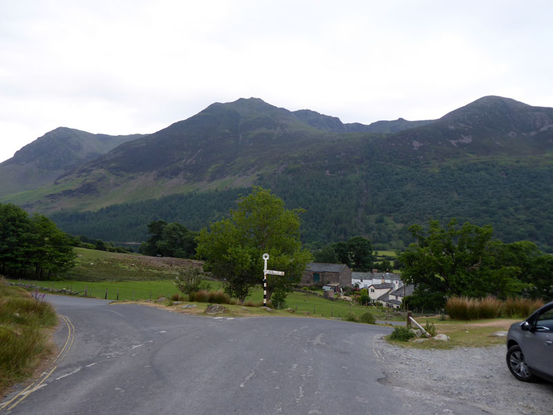 |
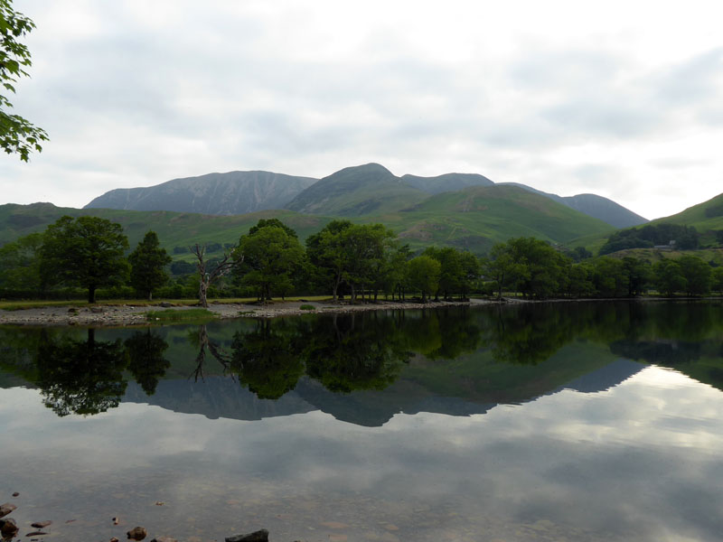
Today's walk started from the parking area just up the road from Buttermere (village) at 0645hrs. On the way, I paused to take a photo of the lake and High Stile (left). The plan is to walk back to the tent at Stonethwaite and catch a bus back to collect the car...
North-Western Fells
The route for this ascent of High Stile takes us along the shoreline of Buttermere for a short while before rising through the woods to find a way to Burtness Cove.
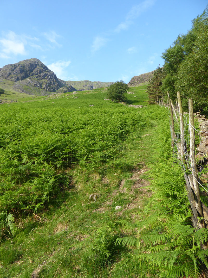
Ascent from Horse Close
Where Burtness Wood ends and Horse Close is upon us, we take the fence path straight up the fellside.
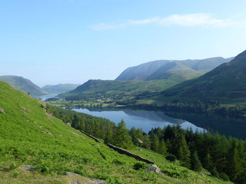
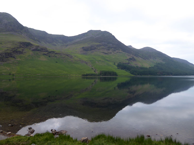
Rannerdale Knotts
The view is very rewarding, with Buttermere in front of Rannerdale Knotts; Crummock Water and Mellbreak to the left. It's very warm!
To Burtness Cove
Every crag on view here belongs to High Crag, High Stile's immediate neighbour.
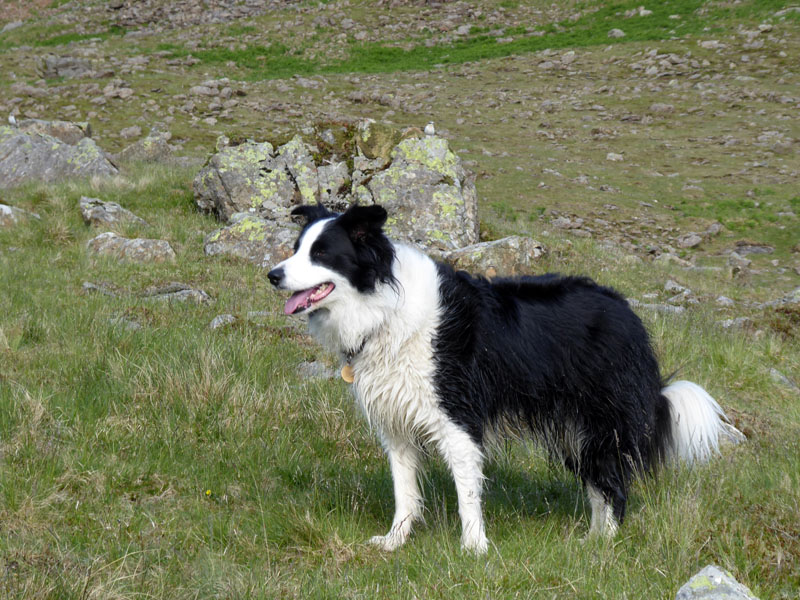
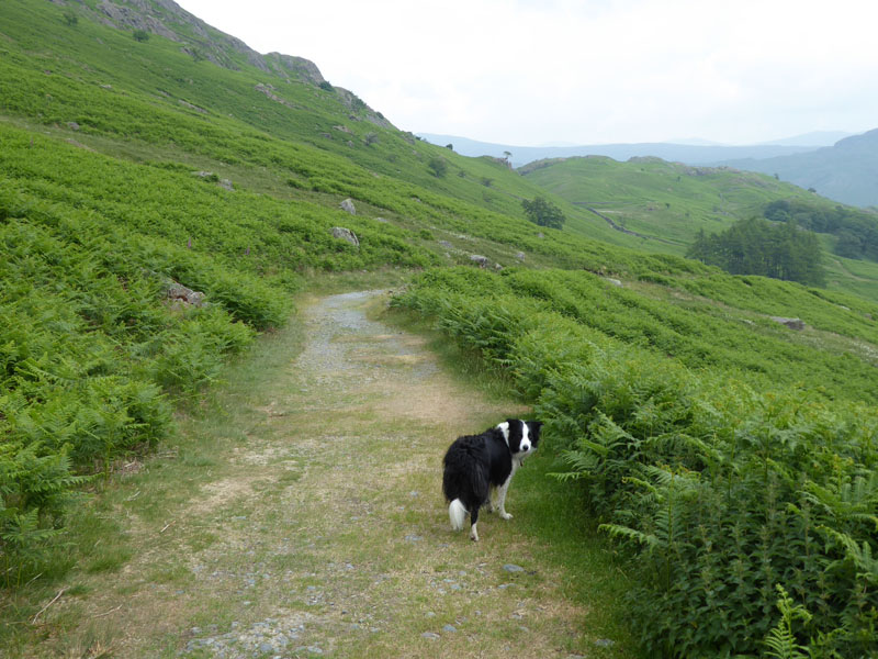
Molly The Collie
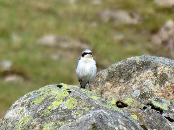
Wheatear
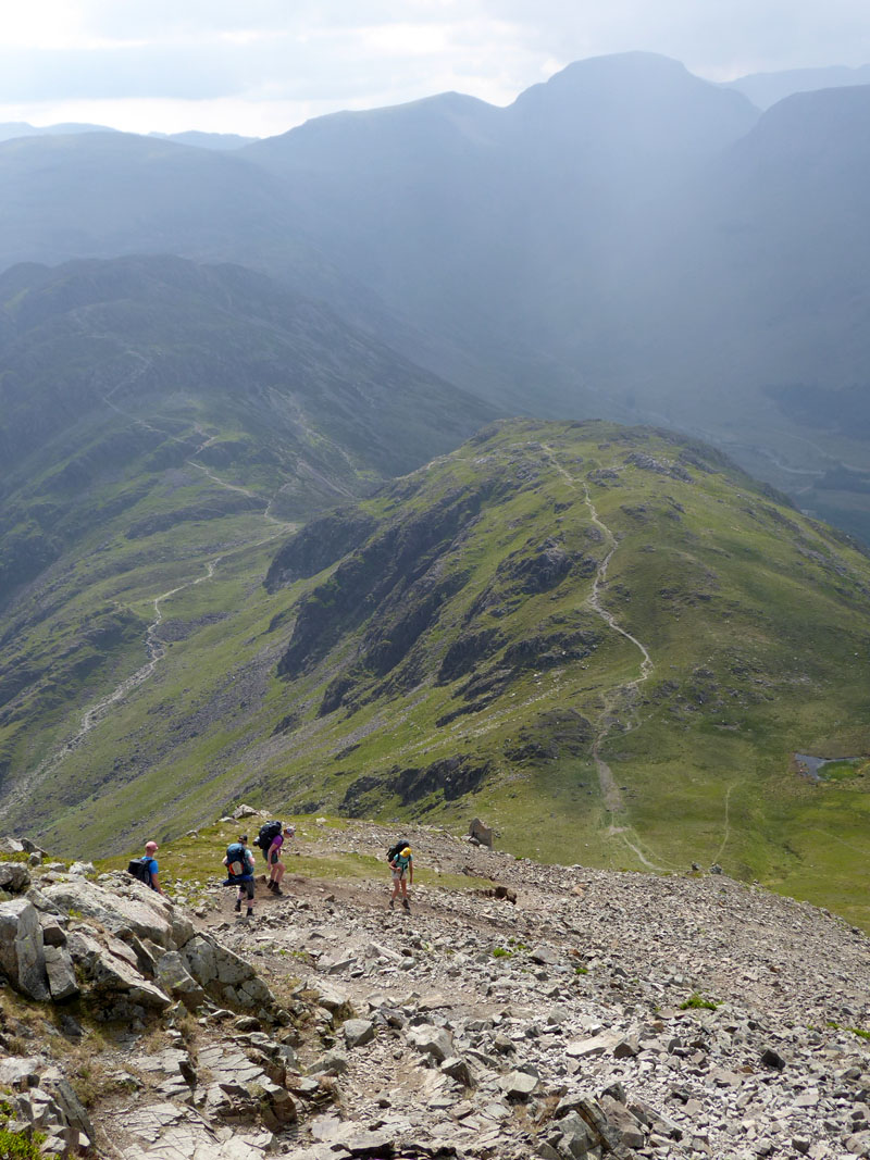
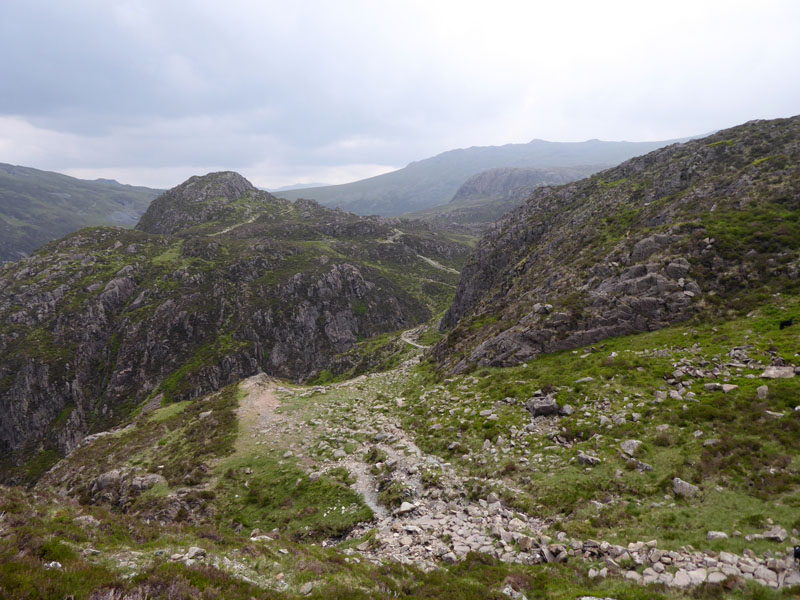
The map reveals Grey Crag on the eastern side of High Stile and I suppose our un-planned and difficult ascent route proves to be just to the north side of this feature, all a bit scrambly over loose rock and boluder fields.
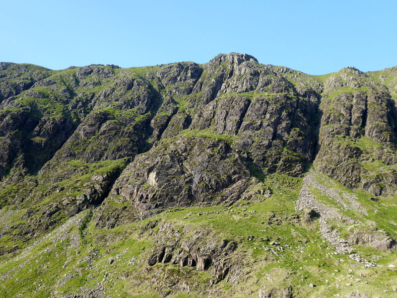
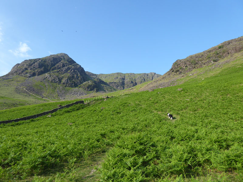
Comb Crags
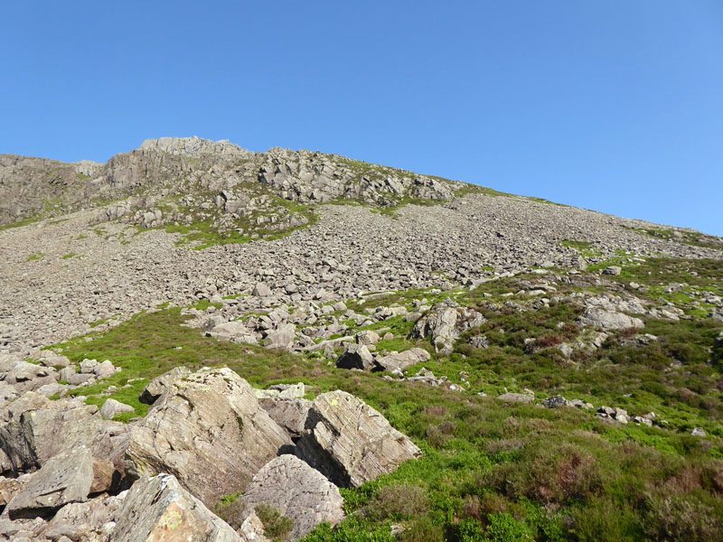
Ascent Route
There's nothing easy in the way ahead and I don't think we'll do this route again, however it's all new.
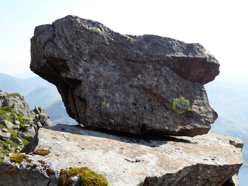
Perched Boulder
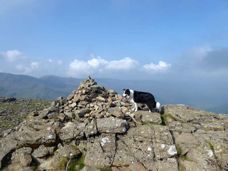
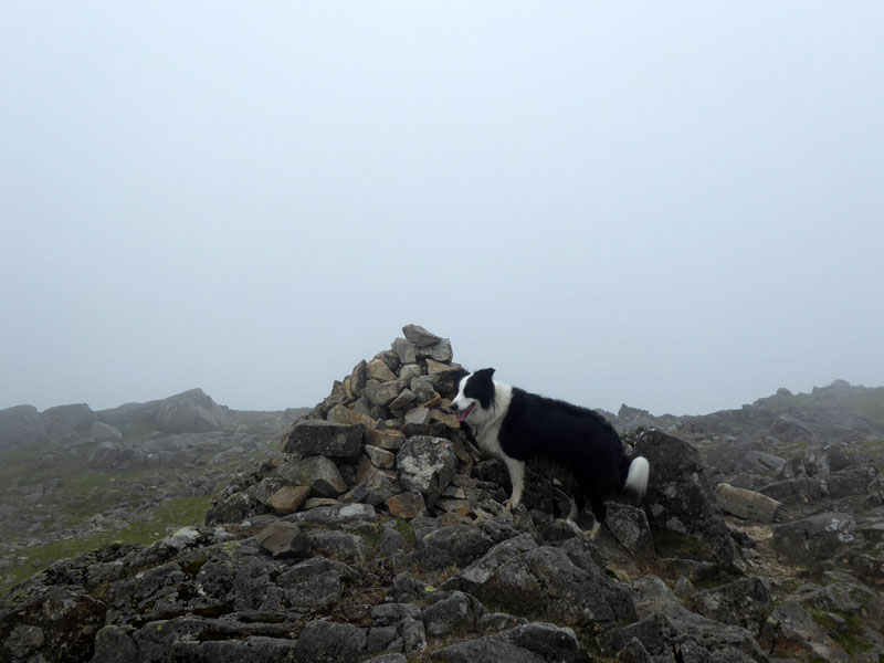
Molly on top of High Stile
There appears to be a choice of summit cairns up here, take your pick. The weather is developing and I'm not carrying waterproofs 'cuz I knew better!
|
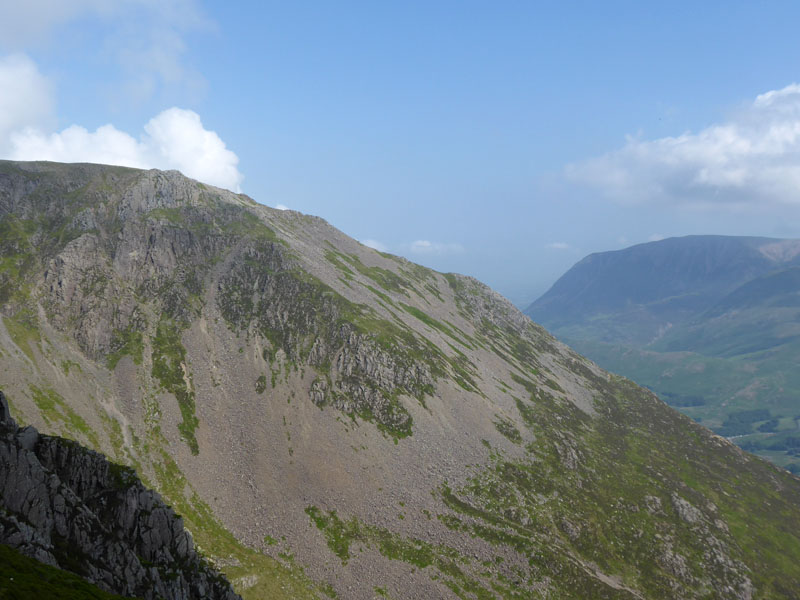 |
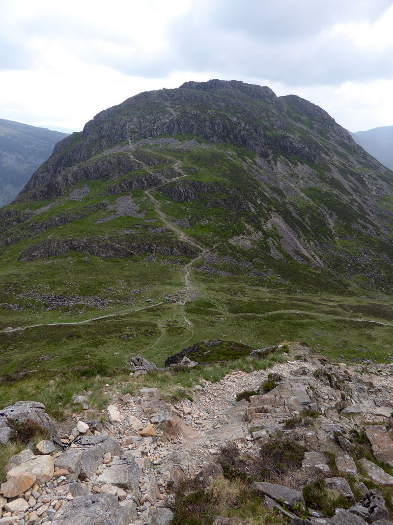
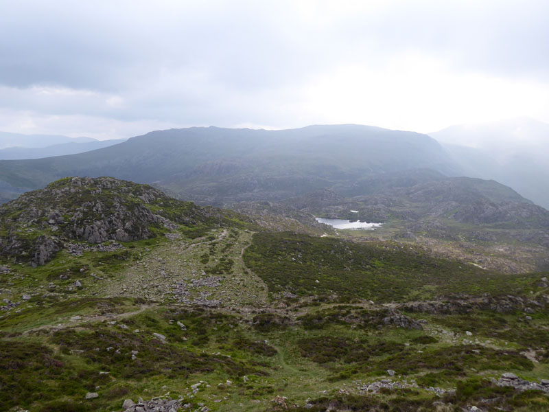
Red Pike (left) is usuall first peak on the High Stile Ridge and our ascent route is somewhere in the photo on the right, the rocky feature being Grey Crag above Burtness Comb.
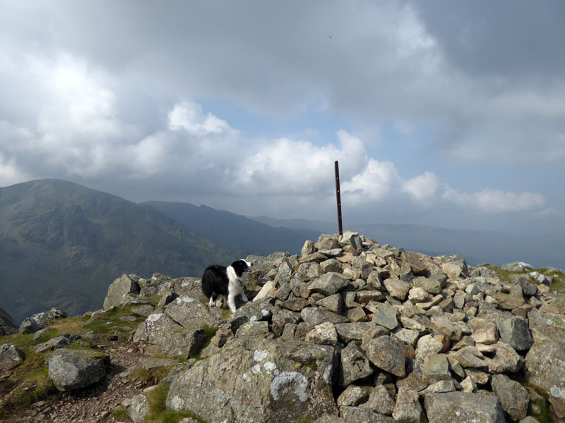
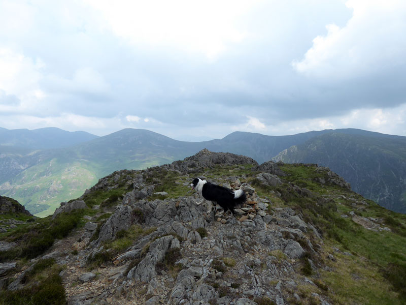
Molly at the top of High Crag
Molly is full of admiration for the fence post and wishes she could stand up there.
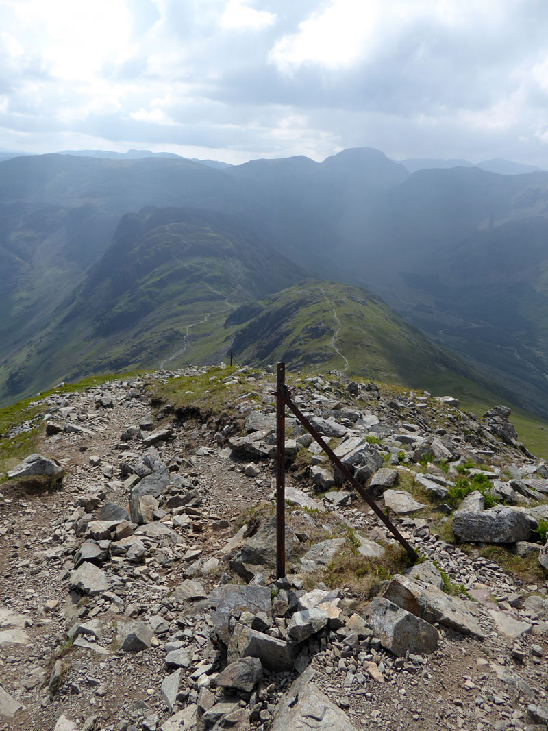
To Haystacks
The descent here is very steep and has only got a little easier in recent times with the provision of a pitched path for part of the route. In the middle ground is a prominence known as "Seat".
Gamlin End
Haystacks
The head of the pass between Buttermere, left as we look and Ennerdale (right) is known as Scarth Gap. Two American visitors asked me if they were at Scarth Gap and if so, is that Haystacks up there? "Yup...just follow everyone else".
 |
 |
Summit Tarn |
Molly on top of Haystacks |
A man was directing a "drone" up here. Such action really annoys me, I feel it is an intrusion on my right to privacy, more so when I'm in search of peace and quiet, and it surely confuses the birds. I know it is not allowed within 50m of people and would need permission to fly over private ground.
 |
 |
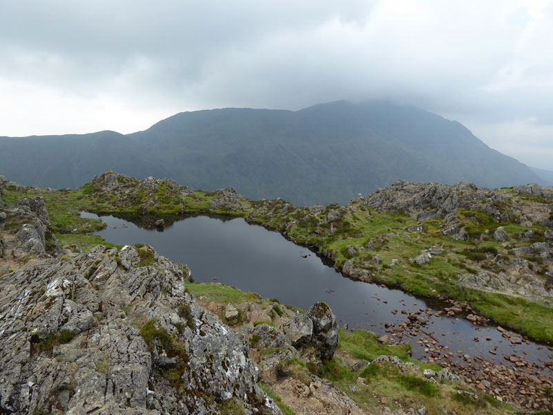
Innominate Tarn comes in to view and is soon passed on the way to Blackbeck Tarn.
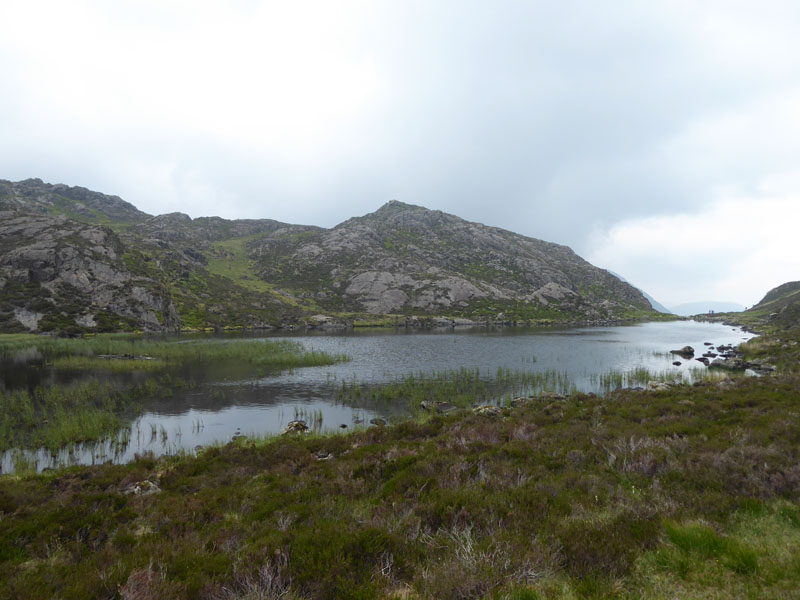
Blackbeck Tarn
As the intensity of the heat has reduced with the additional cloud cover, I decided we could walk on to Brandreth - this was not in the original plan. Soon we came across a lamb who clearly took a liking to Molly, maybe mistaking her for her mum? Molly has been taught by me to avoid sheep and here her instincts and teachings were competing.
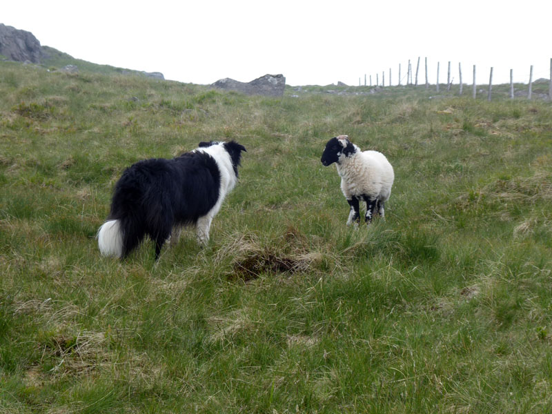
Molly & The Lamb
Molly on top of Brandreth
In the mist and slight dampness. I can't easily get excited about Brandreth, not an exciting and inviting fell with little to look forward to, unless you a fan of fences.
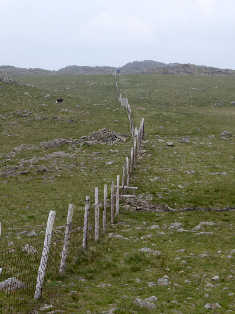
To Grey Knotts
Along a magnificent upland fence.
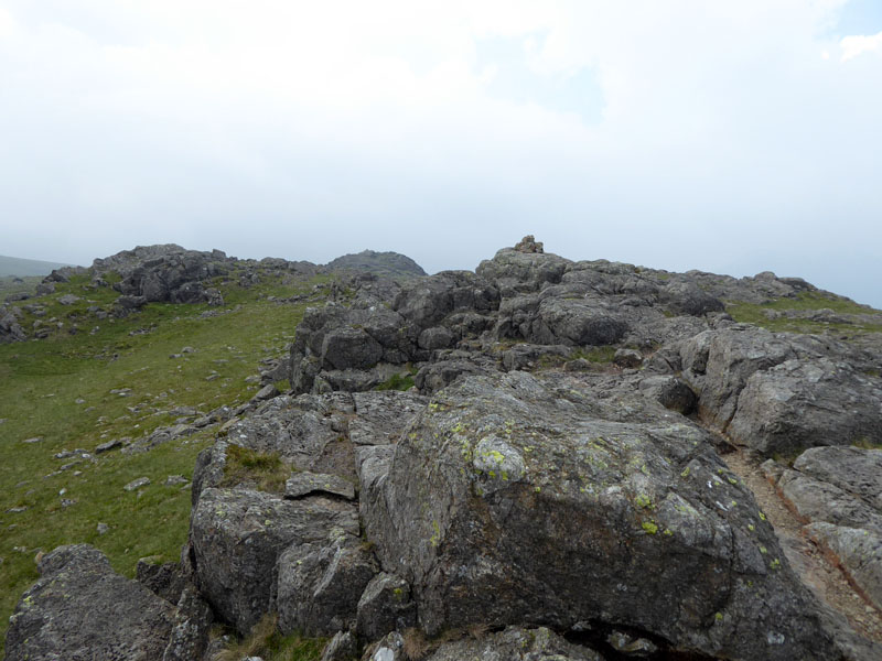
Grey Knotts Summit
Quite gloomy now on our last summit of the day. Time to start heading downhill and back to the tent.
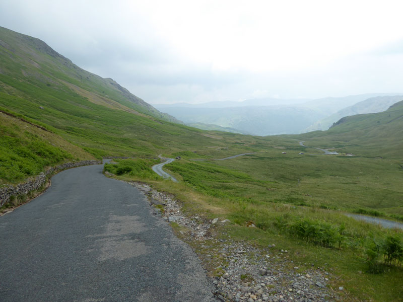
Honister Pass
Walkers can avoid most, but not all, of the tarmac on the way down to Seatoller and Borrowdale.
~~~
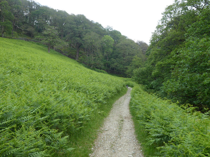
Easy walking down through the woods and ahead to the YHA building before taking Peat Howe Bridge to cross the river and find our way to the tent at Chapel House Farm in Stonethwaite.
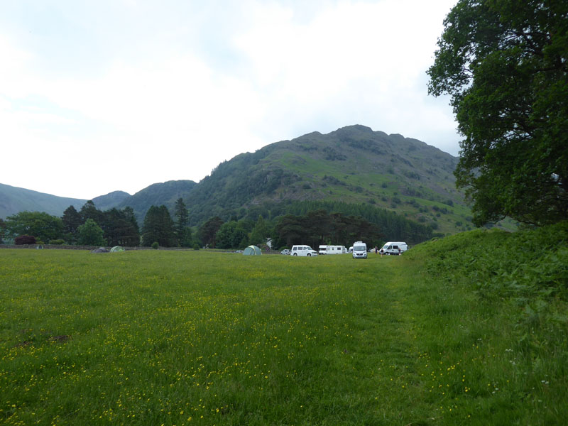
Chapel House Farm Campsite
Walkers: Molly and Me.
Time taken: 8hrs over a distance of about 12 miles.
Route: Buttermere village, the lake, Horse Close, up the slopes to Burtness Cove. Tricky, steep ascent of the eastern side of High Stile, High Crag, Gamlin End, Haystacks, Blackbeck Tarn, Brandreth, Grey Knotts, Honister Pass, Peat Howe Bridge, Chapel House Farm Campsite.
Weather and conditions: Sunny and warm, declining to humid and overcast. Heavy rain shortly after we got back to the tent.
Bus: The 77A Honister Rambler bus arrived on time at 15:56hrs and took us safely back to Buttermere.
All photos copyright Richard Ratcliffe 2018 ©
Take me back to the start ....