
~Wolsingham Wander~
4th February 2018
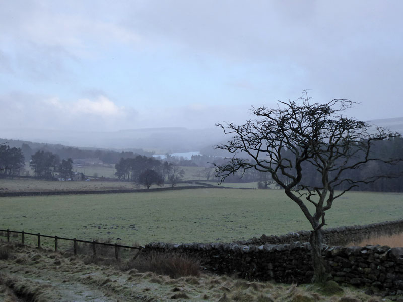
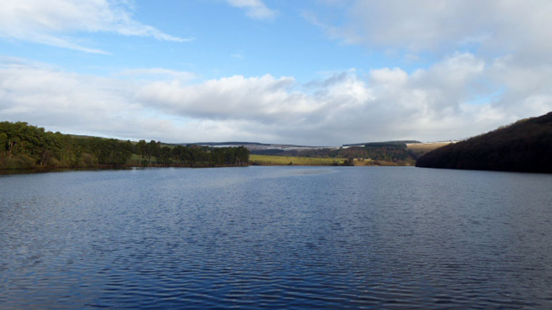
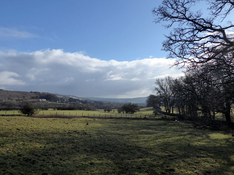
Tunstall Reservoir from Jofless
Scroll down for photos and a description of the walk....
 |
 |
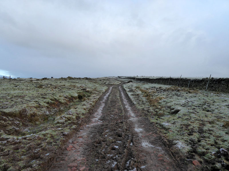
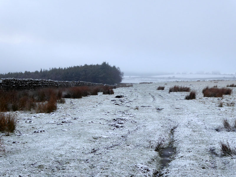
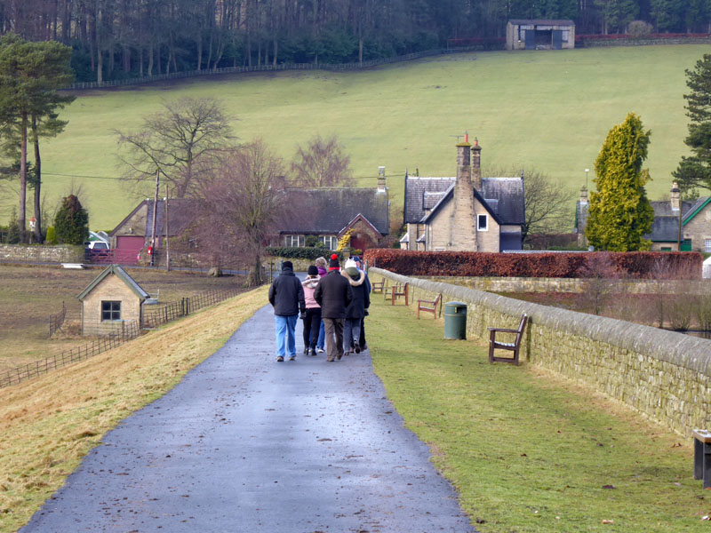
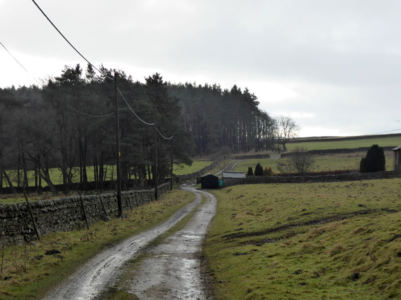
Thistlewood Lane
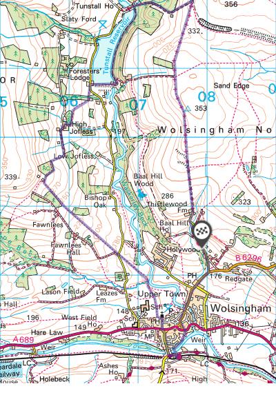
In search of new territory, Molly and I booked a short break in Wolsingham, County Durham. Here on Sunday 4th February and after a damp and wintry walk on Hadrian's Wall the day before, we take a walk up Thistlewood Lane - north out of our host town and directly from the cottage where we were staying. The walk started at 08:30hrs. The map shows this lane as open to all traffic, but a notice dictates that certain traffic, notably 4-wheeled recreational vehicles are now prohibited.
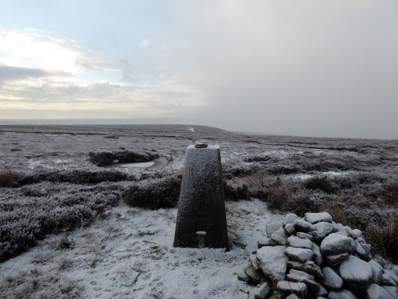
Sand Edge Trig Point 1,158ft asl
Just after a wintry shower passed our way, we found this trig point just off the main route.
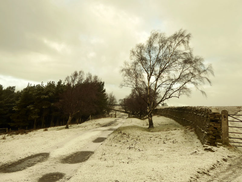
Ninety Acre Plantation
An easy to follow route along the right of way and past Ninety Acre Planation, here on the left.
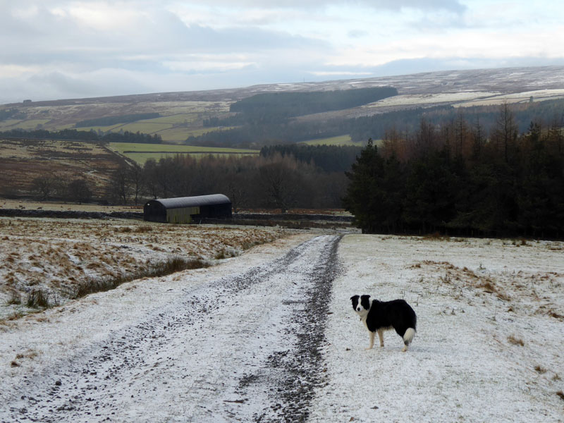
Dismantled Railway
At the furthest point of our walk in a northerly direction we briefly encounter the trackbed of a disused railway line. The line would have joined with the Stanhope to Consett line a little further north near Waskerley.
 |
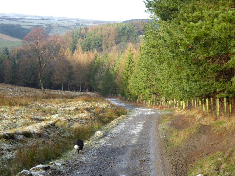 |
The next part of the walk is downhill with Quarry Wood on the right.
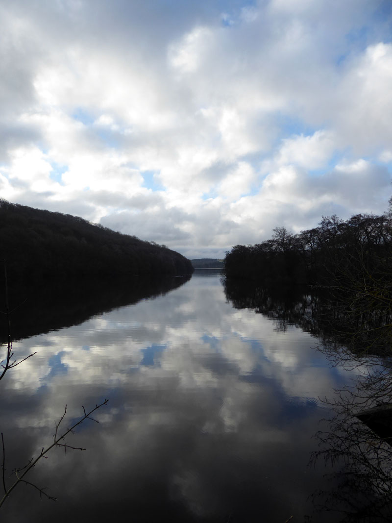
Tunstall Reservoir
There is a bridge at the north end of the reservoir from which this photo is taken. Then we walked through Backstone Bank Wood on the east side of the reservoir. The route bears a notice requesting dogs be kept on leads as it is an SSSI.
 |
 |
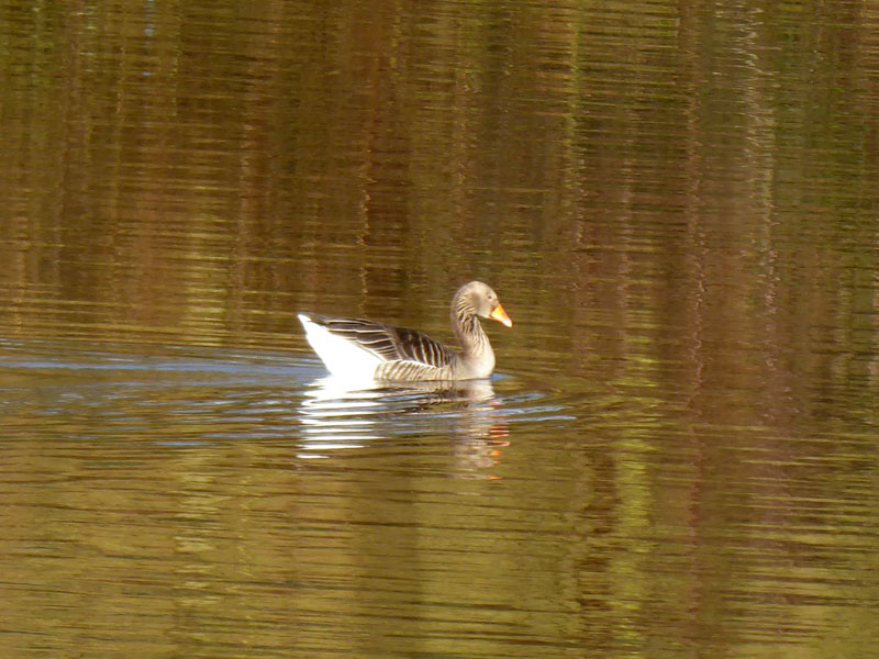
Waterfowl on the reservoir and a view across to the main car park.
Dam Walkers
It's just as well folk die, otherwise there would be nowhere to sit. The bin is not dedicated to anyone in particular.
Tunstall Reservoir from the Dam
 |
 |
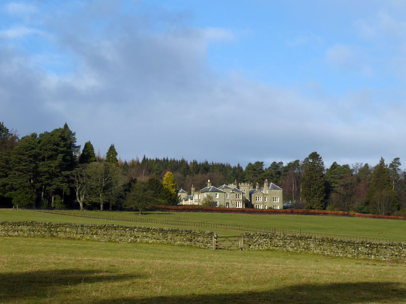
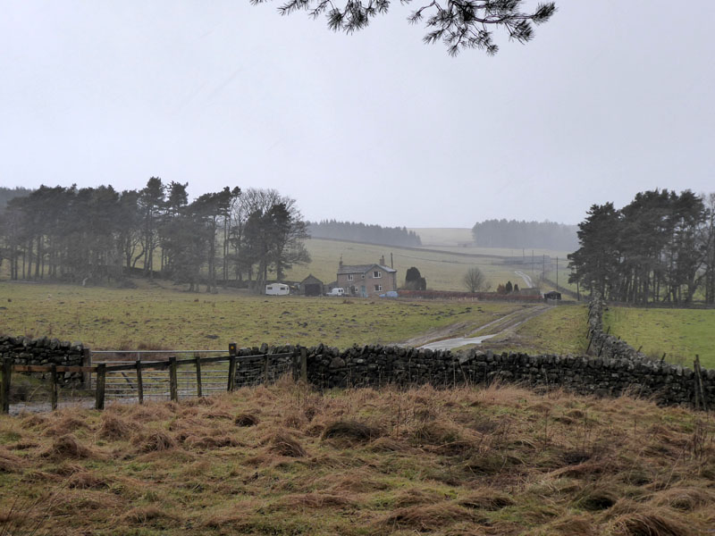
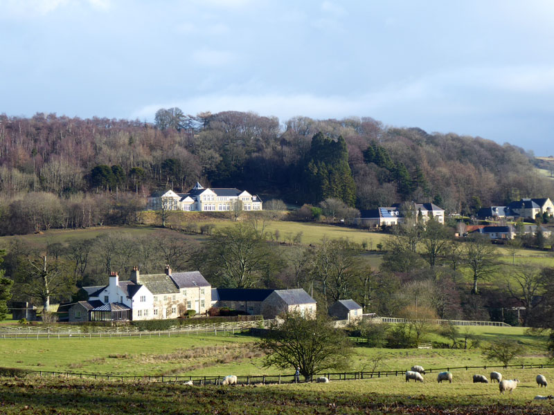
From the dam, the walk heads for High Jofless Farm across fields (right). Kirkley House looks somewhat splendid. For anyone using the OS map or mapping service via the internet, our walk follows the public footpath to High Jofless, Jofless Cottage and Park Wall.
 |
 |
Students Wood |
Jofless Cottage |
We sheltered in a corner of Students Wood as the next wintry shower came along.
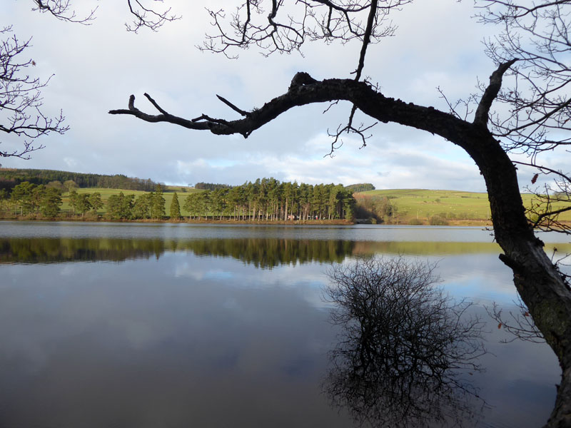
Tunstall Reservoir from Jofless
A short walk up to Park Wall which is the high point of the walk on this side of the valley; we are met by an unfeasibly high stile...
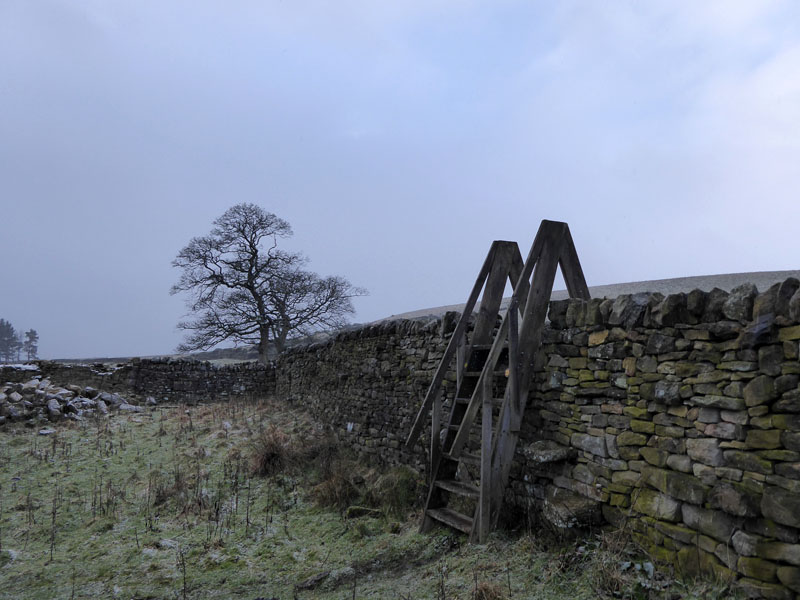
High Stile
Not easy for those with dogs - it looks as though through-stones used to facilitate the climbing of the wall. Molly has been trained to get on my shoulder on the descent of such stiles.
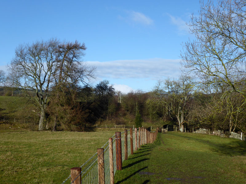
To Wolsingham
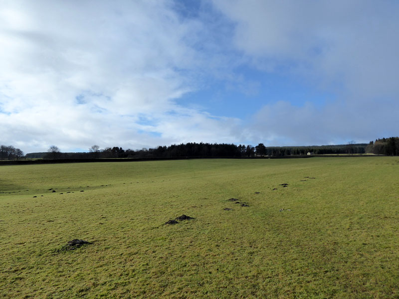
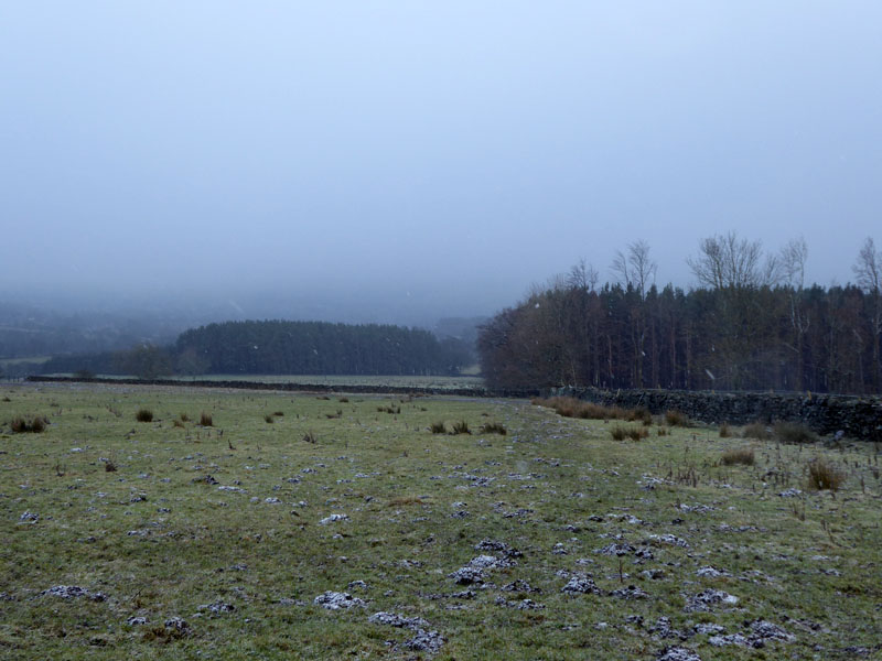
Now for a fairly straight walking route in a south-easterly direction down to Wolsingham. Muddy in many places.
~~~
~~~
Over the other side of Waskerley Beck is Baal Hill House and several "millionaire's houses", so says a local. The big property was originally an isolation hospital; the housing estate for the well-to-do is known as Holywood. We find a split in the path and head south, directly for a church in Wolsingham.
~~~
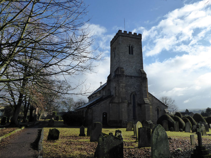
Parish church of St.Mary & St.Stephen in Wolsingham
 |
 |
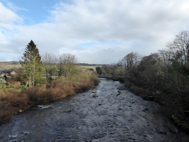
The River Wear |
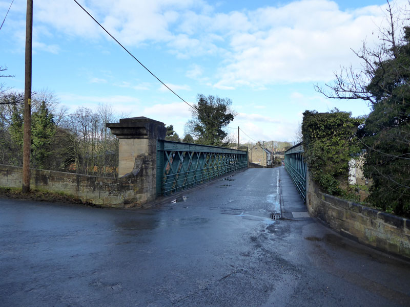
The Bridge over The River Wear, Wolsingham |
Down the road over the bridge for a look at the railway line.
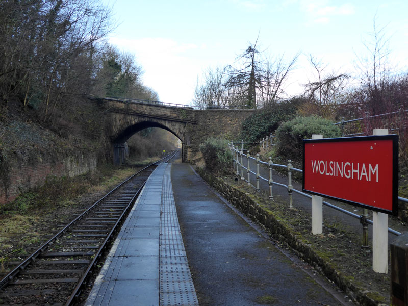
Wolsingham Station
The railway is a preserved line, known as The Weardale Railway - see below.
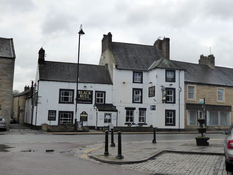
Sunday Lunch
Walkers: Molly and Me.
Time Taken: 5 hours over a distance of about 8.5 miles.
Refreshment Review(s): The Black Bull (above) welcomes dogs in one part of the bar and was offering Sunday Lunch in front of a real fire. It would have been rude not to stay and try out the food - which was ideal for a hungry rambler.
Route: as described...
Weather: Cool, a few wintry showers and a bit of sunshine.
All photos copyright Richard Ratcliffe 2018 ©
Take me back to the start ....