
~Tebay Circular~
from the A6
24th February 2018
Jeffrey's Mount
Scroll down for photos and a description of the walk....
 |
 |
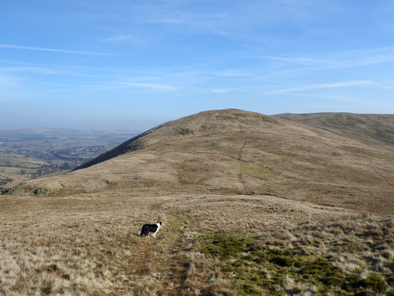
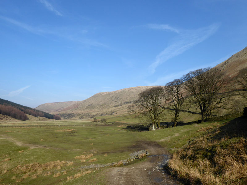
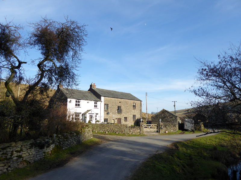
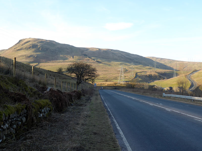
The Start
A sunny Saturday! Here's the walk I wanted to do the previous Saturday but didn't due to weather and other issues. Parking is just south and up the hill from Huck's Bridge on the A6 north of Kendal. The phonebox is shown on the 1:25,000 map and is still there. We walked a few yards up the road to join a footpath down the track and into (the other) Borrowdale. The fine hill that first comes into view doesn't have a name on the same map, yet it is higher than its two adjoined neighbours known as Crookdale Crag (north) and Whinash (east).
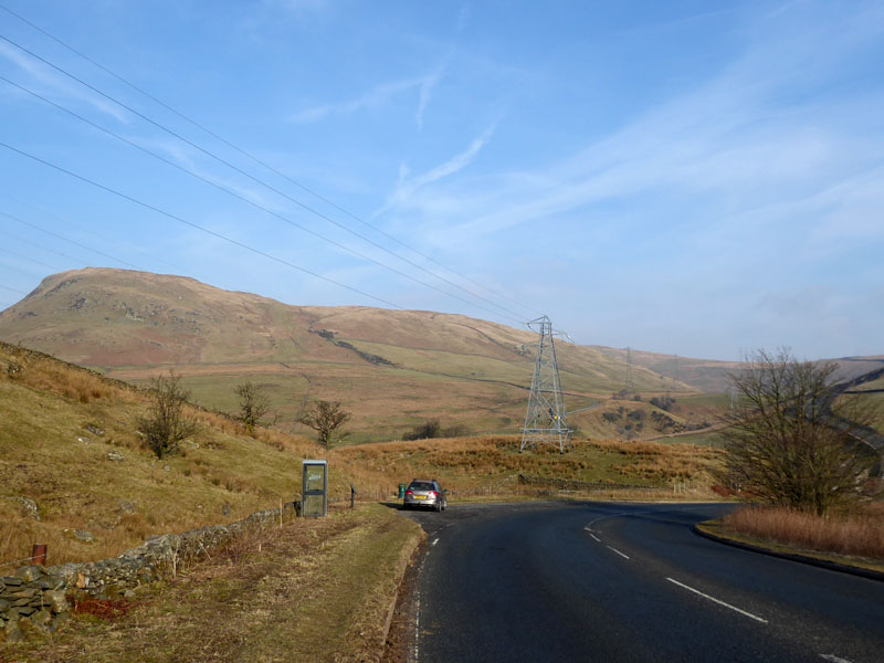
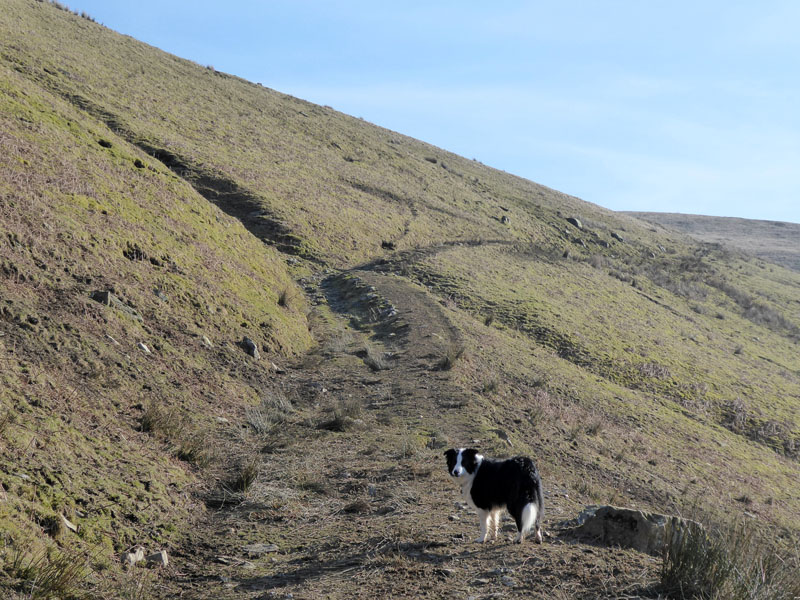
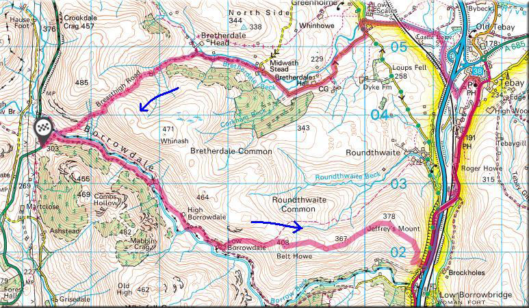
Breasthigh Road
The "Green Road" - open for all traffic, will be our route back to the car later, if all goes to plan...
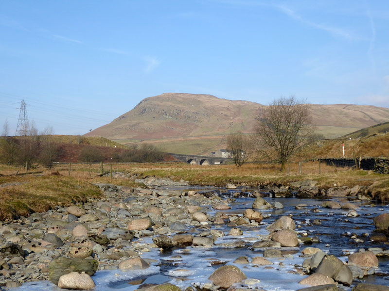
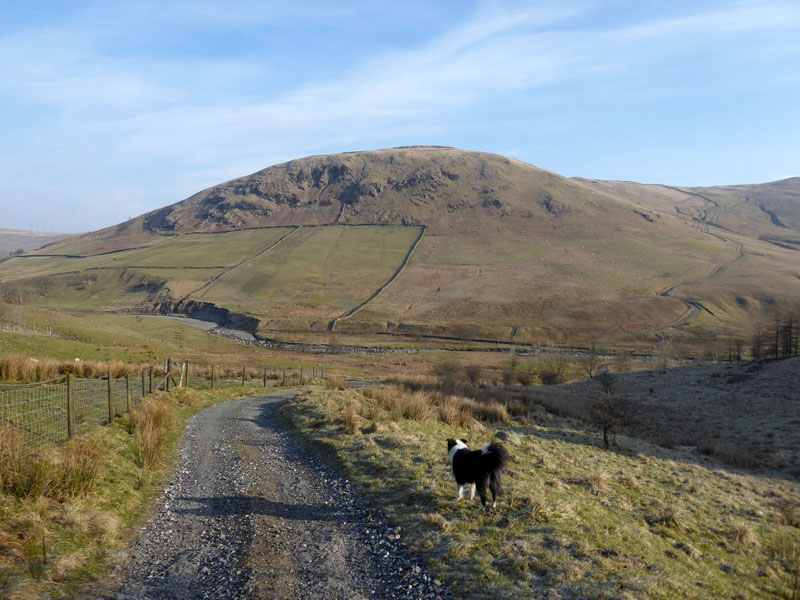
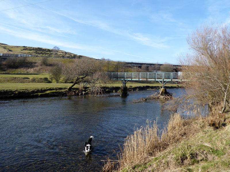
Borrow Beck
Looking Back (LB) to Huck's Bridge and High House Bank from Borrow Beck. Many of the following photos are taken in retrospect due to the direct sunlight ahead of us. One little bet I had with myself was that I would see no other walkers on this route. The walk started at 09:30hrs.
 |
 |
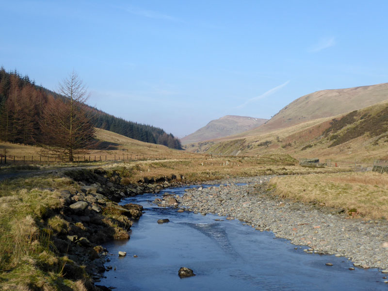
LB into Borrowdale
It is a little unusual to walk downhill at the start of a walk, but this is the case here and after about 1.5miles, we cross the bridge (right) to join the footpath on the north bank. High House Bank, the distant hill, is getting smaller and smaller as we make progress.
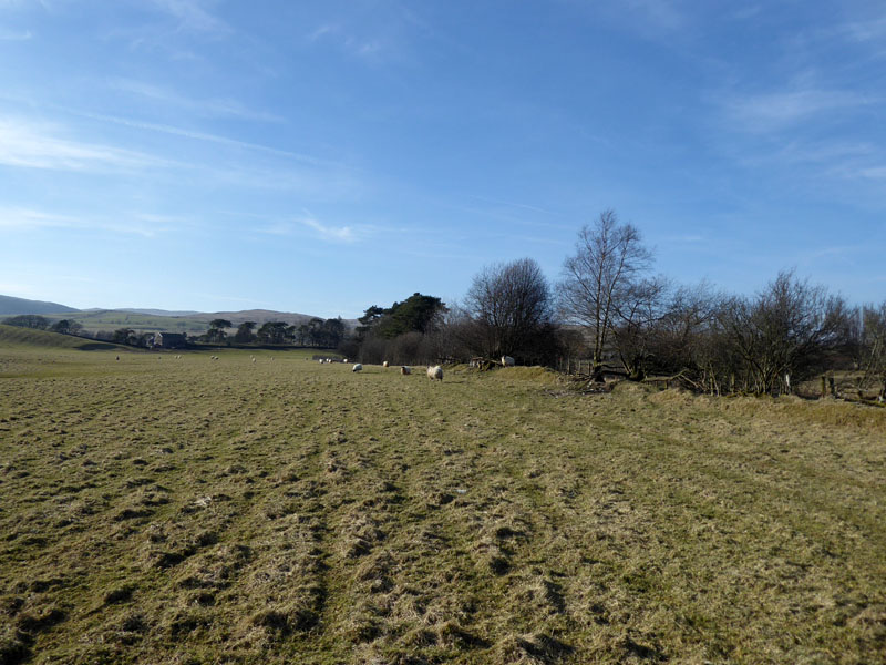
Borrowdale
Looking ahead and you can see what I mean about the haziness of views forward. There's nobody here!
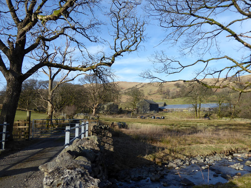
LB to High Borrowdale Farm (abandoned)
To Low Borrowdale Farm
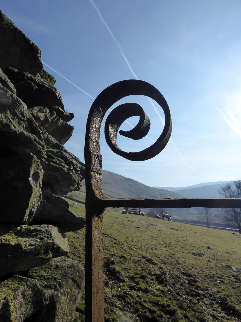
Ironwork
As we start the climb up the fellside, two gates boast this kind of ironwork detail. A third gate is discarded against a wall - these are wonderful reminders of times past, as are the walls, the farms, the peaceful valleys.
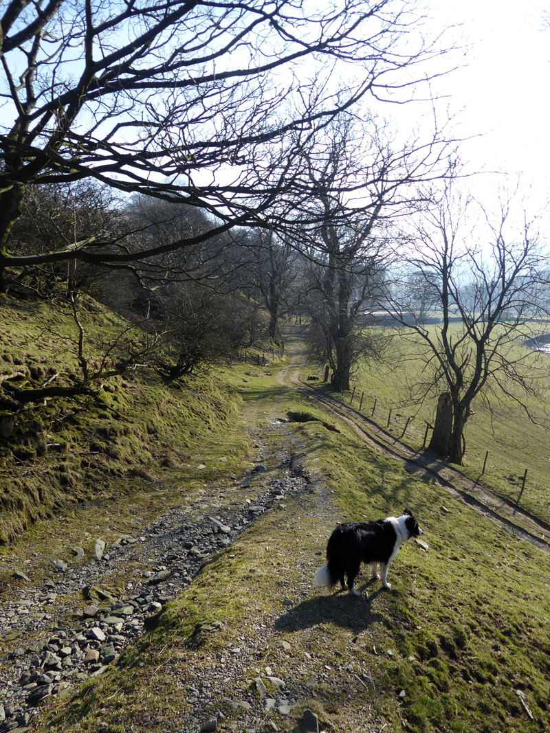
Low Borrowdale Farm
An easy walk up the bridleway which links Borrowdale with Roundthwaite, near Tebay.
 |
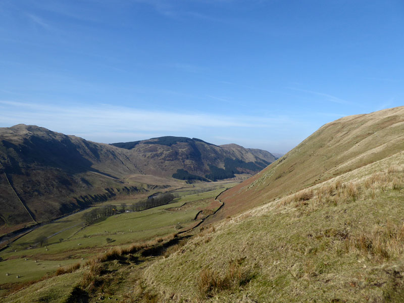 |
From the bridleway (left) you can enjoy views back up Borrowdale to Mabbin Crag.
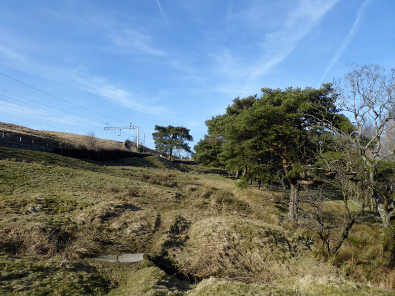
Belt Howe
Fantastic open moorland on Belt Howe (1,338ft asl) and looking west towards Roundthwaite Common.
 |
|
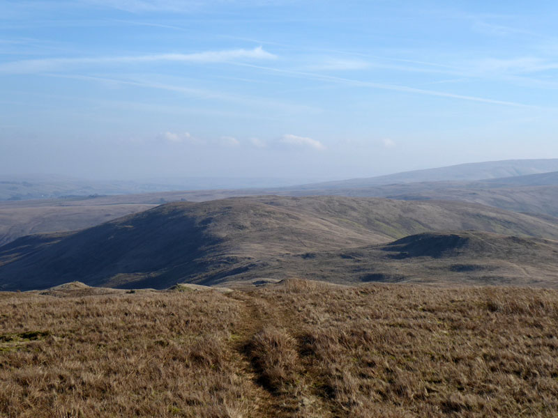
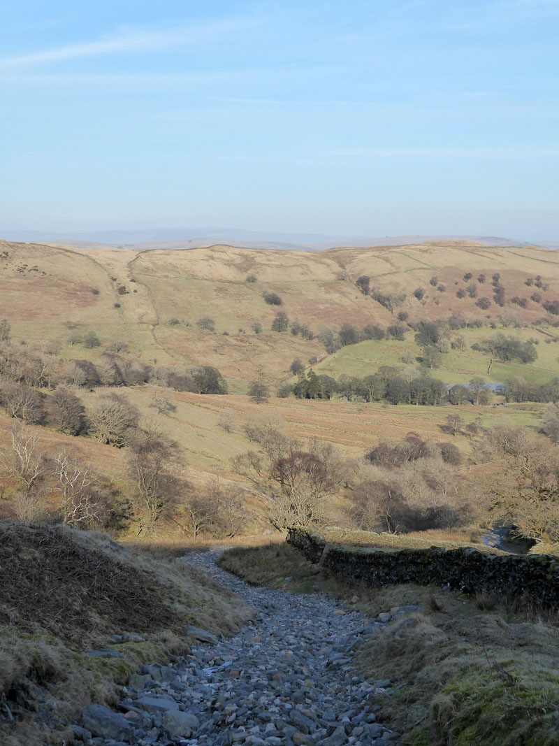
The route ahead to Jeffrey's Mount is easy and farmers have left tracks that can be used by walkers - the ground is frozen, so no problems with the occasional boggy bits.
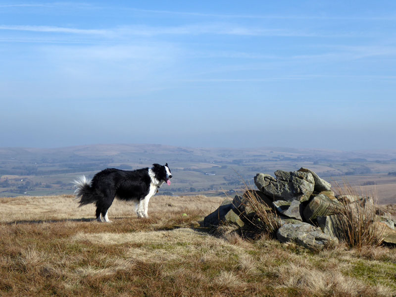
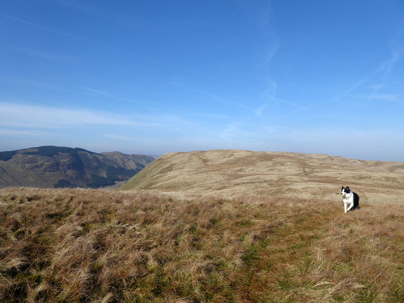
Molly on top of Jeffrey's Mount 1,243ft asl
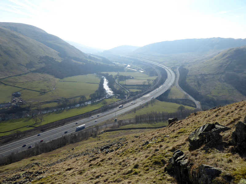
Lune Valley
The plan was to perch up here and watch a steam-hauled train head north, but perhaps you will agree, the haze is too much for any chance of a decent photograph. Time is on our side and I decide to head down to the line for a closer look. Walkers can exit the fellside via a gate just to the right of the white lorry, as seen here. The A685 offers a safe enough passage to Tebay.
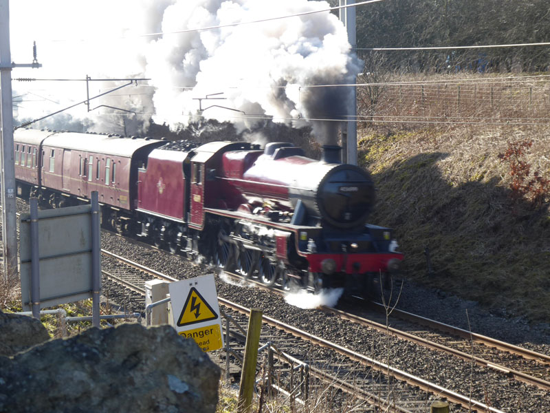
LMS Jubilee Class 6MT 4-6-0 no 45699 Galatea
with The Cumbrian Mountain Express heading north to Carlisle. It was great to see and hear the train approaching and racing up the line, but the photograph is not going to win any prizes, but then it's not in any competitions. I'm old enough to remember the clickety-clack of jointed track, but not really old enough to have seen steam-hauled express trains on regular service up this line before the catenary wires and all the paraphenalia arrived. I do recall double-headed Class 50's in the 1970's :-)
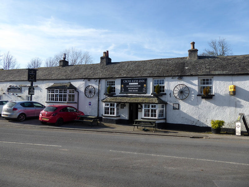
The Cross Keys Inn, Tebay
All along the plan was to have a light lunch here and I was not disappointed with the sandwich taken in front of a log fire. Nearly an hour later, it was time to move on and find the alternative way back to the A6.
Did I mention the fact that I forgot to bring the map? I had printed off a route map via the OS site, but in order to make it fit onto the paper, I lost detail and expected it not to matter as I always have the map with me - not this time. Anyway, I found the way down to the river and the bridge to take a footpath under the M6 for a route to Birkbeck Viaduct and so to Bretherdale.
 |
 |
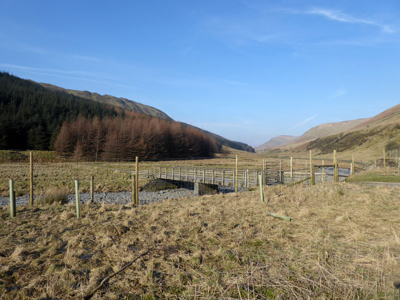
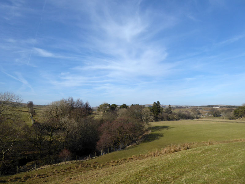
Walk views on the way to the viaduct.
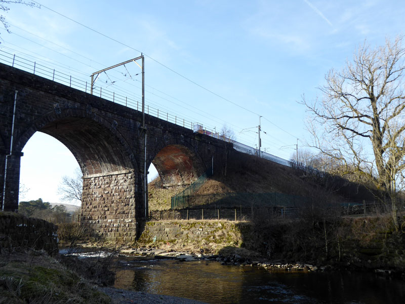
Birkbeck Viaduct
 |
 |
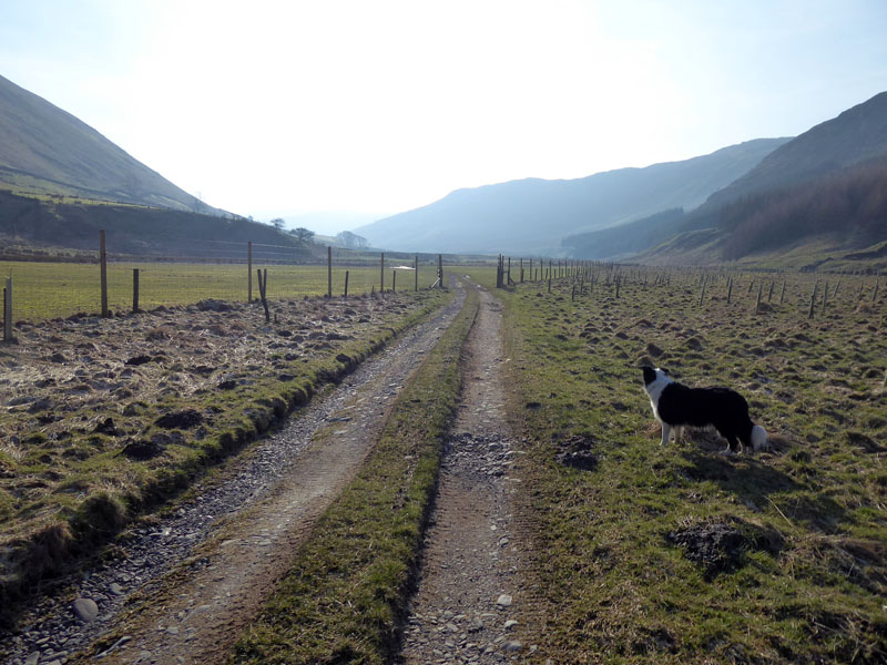
Along Fields |
To Bretherdale |
I chose to take a shorter route to Bretherdale which was along the road. As such, I didn't need to keep Molly on the lead and as we saw no vehicles, it was a safe thing to do.
~~~
The white building belongs to Tebay motorway services.
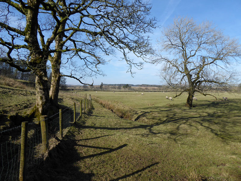
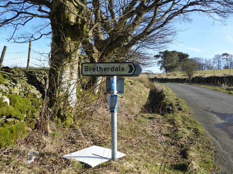
Bretherdale
Eagle-eyed viewers may just be able to see an electricity pylon on the furthest horizon - this marks the route of the A6. There's no turning back from here, no alternative route back, no public transport links. Ahead is the steepest climb of the day and still a few miles to go.
Midwath Stead
A farmer on a quad-bike came by and looked somewhat surprised to see me. Coming up is Breasthigh Road and the ascent of about 700ft, not ideal towards the end of a day's walking, roughly equal to my usual ascent of Pendle Hill from the roadside.
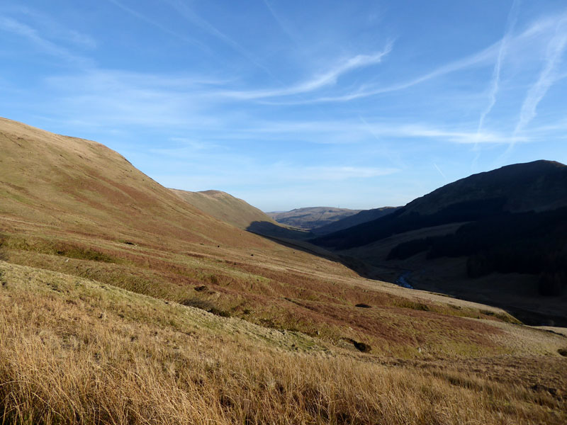
Bretherdale Head
Breasthigh Road
~~~
LB down the hill to Bretherdale
It is difficult to believe any four-wheeled traffic could use Breasthigh Road, but see YouTube if you want to see what some folk get up to in their spare time.
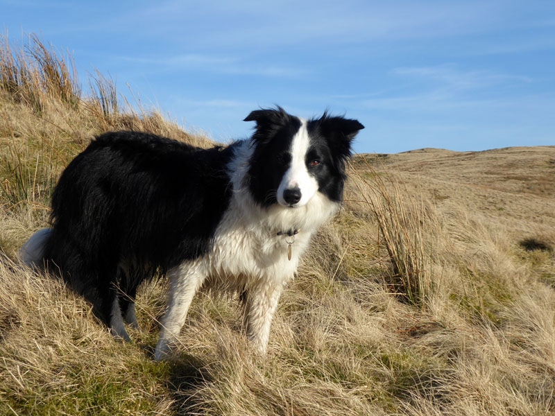
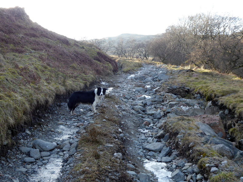
Molly The Collie
We reach the top of the road at the col between the un-named fell and Whinash.
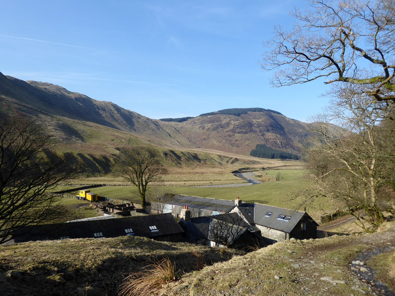
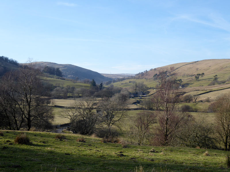
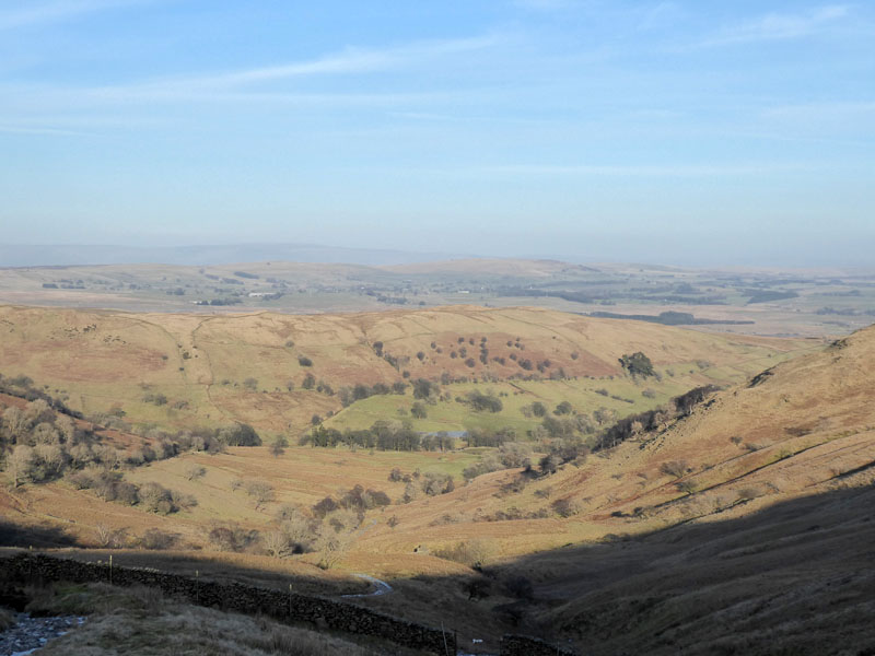
Back to Borrowdale
This is the quiet valley where today's walk started, evening shadows extending across the landscape.
 |
 |
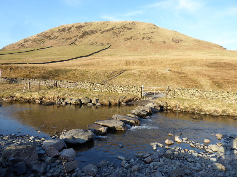
Stepping Stones |
Parking on the A6 |
Walkers: Molly and Me.
Time Taken: 7 hours over a distance of about 12 miles, of which about 50 minutes was in the pub.
Greetings: Nil, not one other walker all the way round - those in search in solitude need look no further.
Refreshment Review: The Cross Keys in Tebay is warm and welcomming to walkers and their dogs. Food is kind-of priced to make sure they get £10 off you by the time you have ordered a drink, but what price a calm and relaxing lunch in front of a log fire?
Route: as described from the A6 just south of Huck's Bridge.
Weather: Sunny and cool, with no significant wind chill on the higher slopes.
All photos copyright Richard Ratcliffe 2018 ©
Take me back to the start ....