
~High Force~
5th February 2018
The River Tees
Scroll down for photos and a description of the walk....
 |
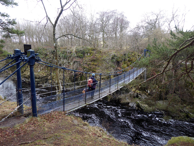 |
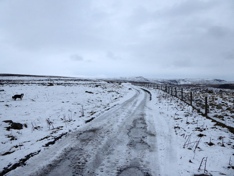
The Start
For long enough I've seen others' photos of High Force in all kinds of weather and ferocity. It was time to take a look for myself at England's "Largest" Waterfall. Jo and her dog, Amber, have joined us to repeat a walk that she took many, many years ago. We parked at Bowlees Car Park - the Visitor Centre was shut, due to open the following week for half-term visitors. Across a field, into the woods and over Wynch Bridge.
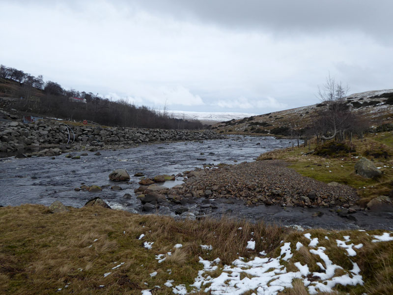
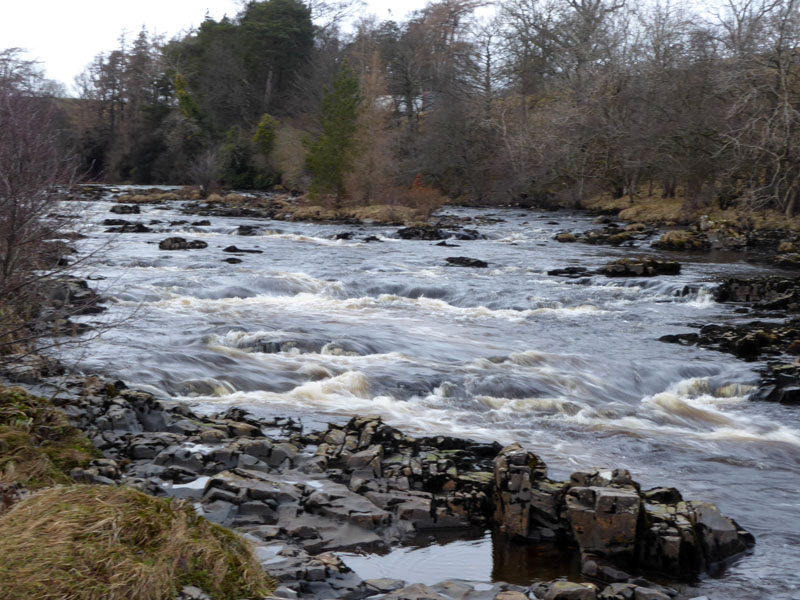
Low Force
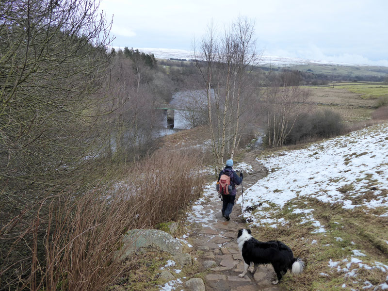
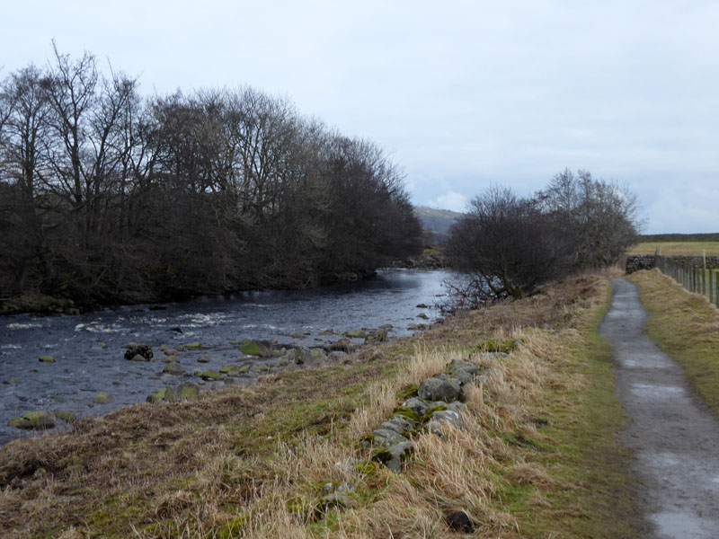
The plan is to take a high level route out to Bracken Rigg and then follow the river downstream, so this early view of the river is one which will be repeated again near the end of the walk.
 |
 |
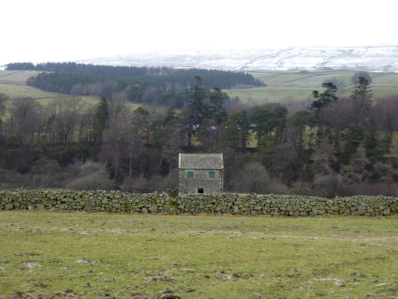
Farm Building |
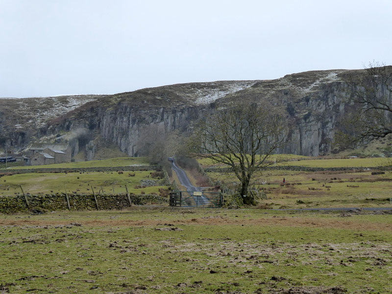
To Holwick Scars |
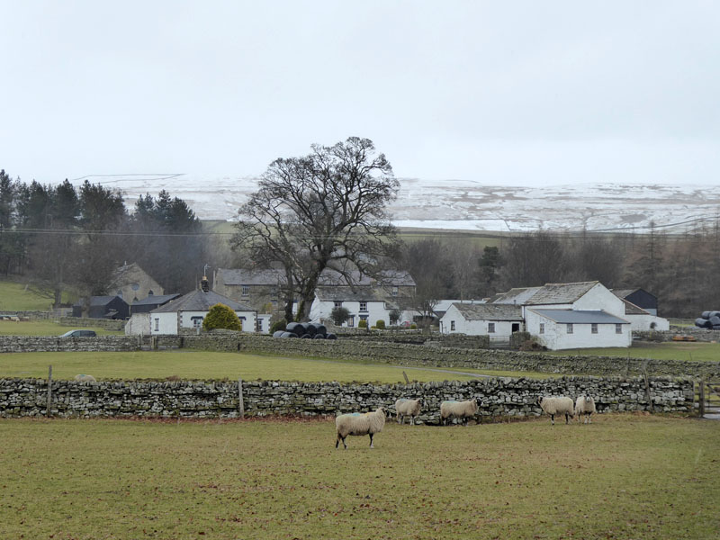
The walk across empty fields leads to a lane which in turn arrives at the top end of the village of Holwick.
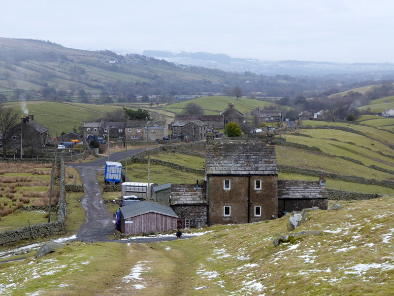
Holwick
The two rounded hills, higher left in the photo, are drumlins. The house nearest the camera has a notice informing walkers of a dog roaming loose - and there it is - a doberman, perhaps. I have no problem with dogs protecting property and this one is either well-trained or very intelligent. It barked at us from behind a gate at the front and then came round the back to watch us progress up the footpath, no danger.
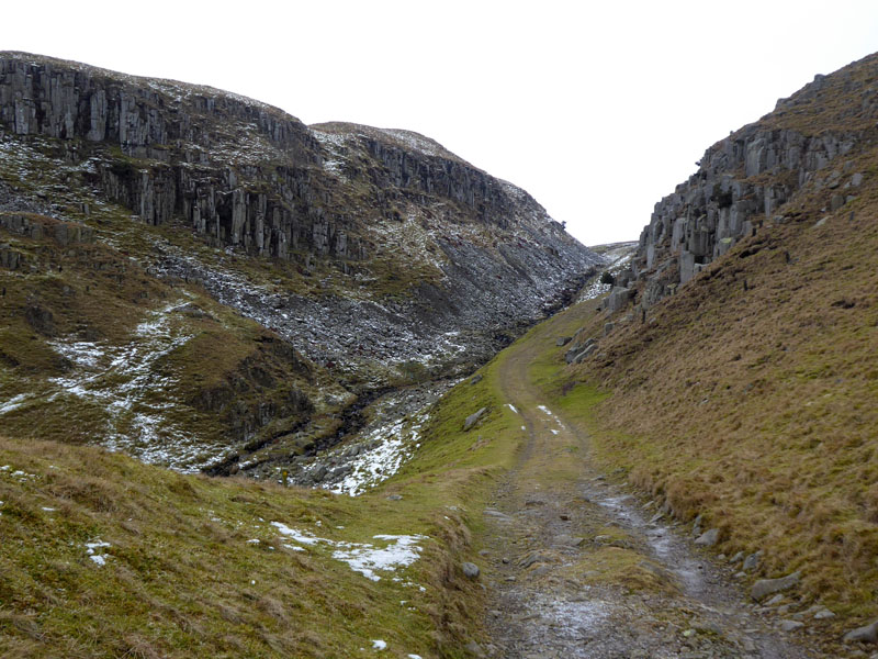
Holwick Scars
The walk continued along the track as seen and on to the open moorland of Holwick Moor. This track is known as Green Trod - an ancient drover's route from Holwick to the Eden Valley.
~~~
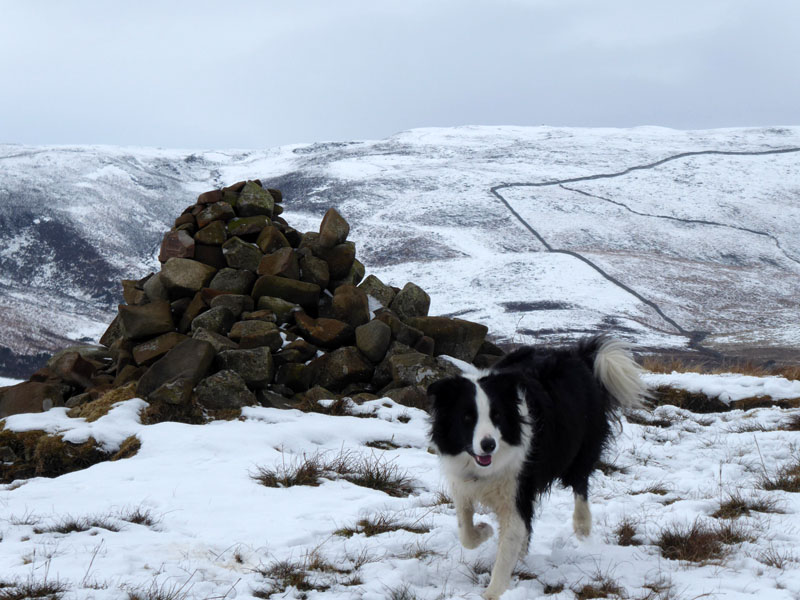
A pile of stones seems to mark an innominate highpoint on this route.
 |
 |
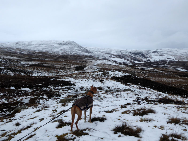
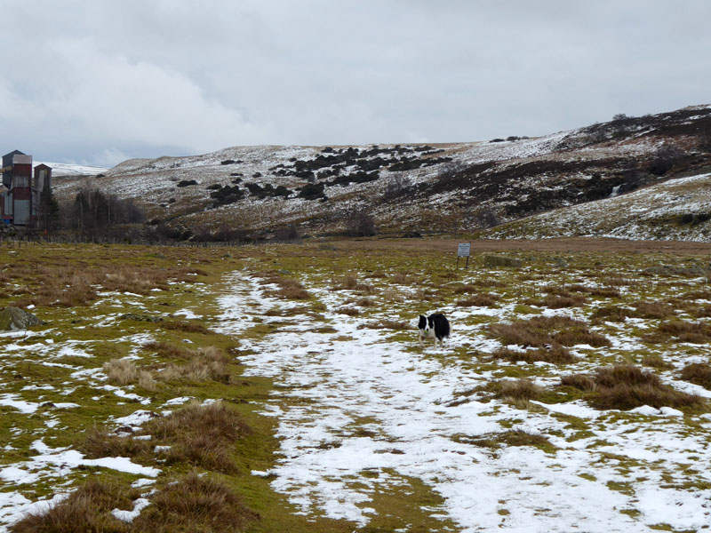
Amber looks ahead and the wriggly wall (right) helps locate the path to Fell Dike Syke and up to Bracken Rigg.
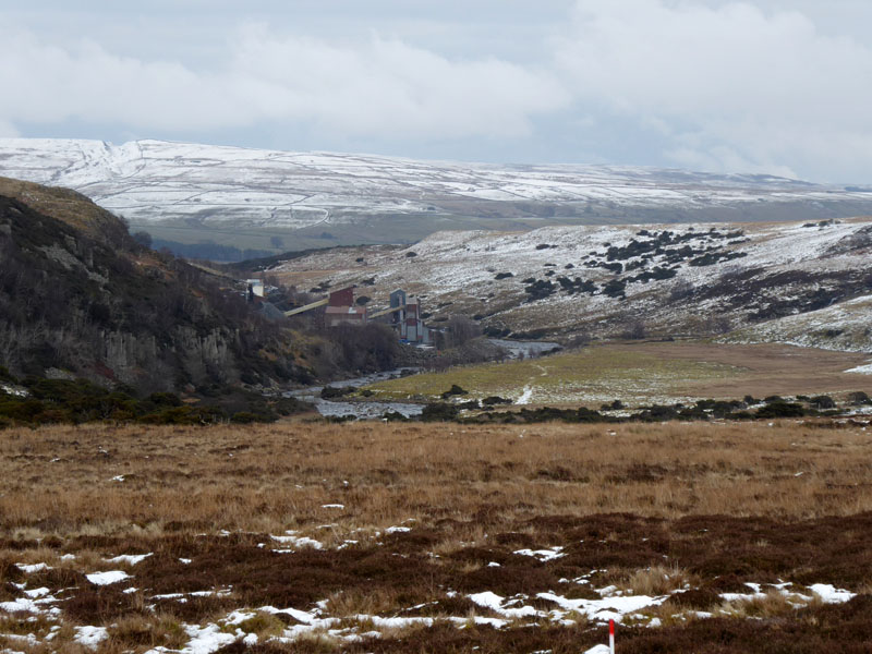
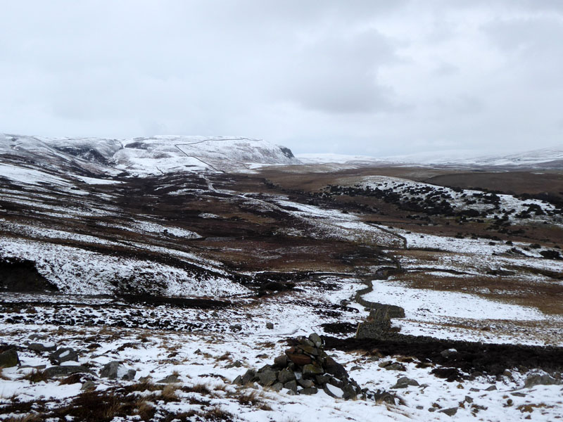
Teesdale
From Bracken Rigg, we can see the River Tees and the stone quarry.
 |
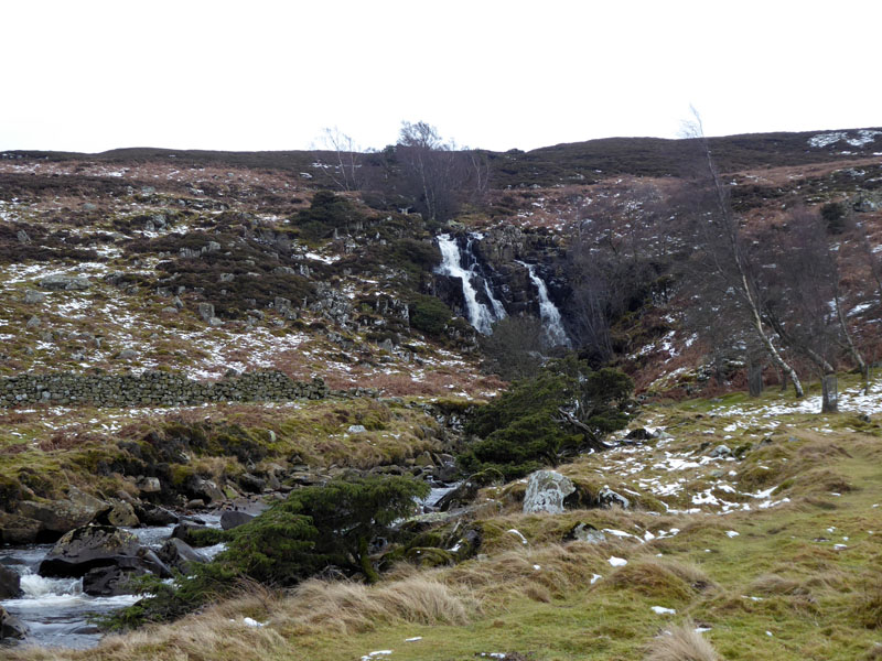 |
Molly reports on the "blast warning" sign and Bleabeck Force (right).
Tees
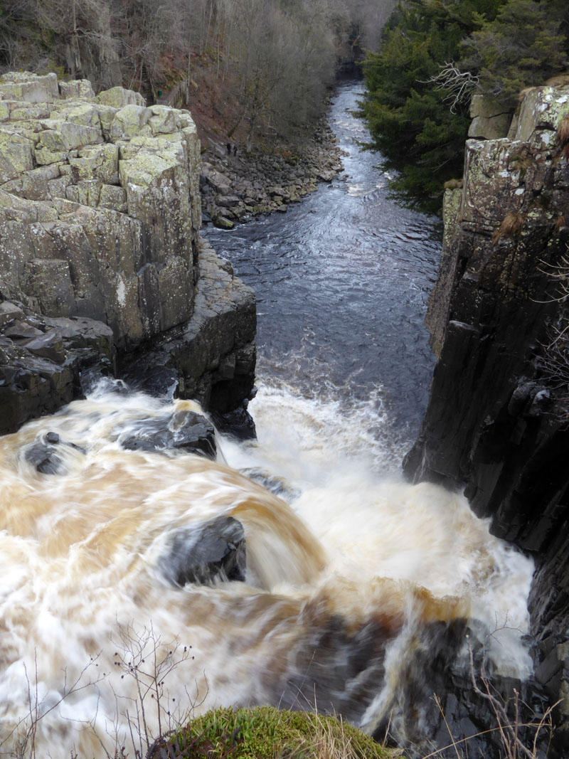
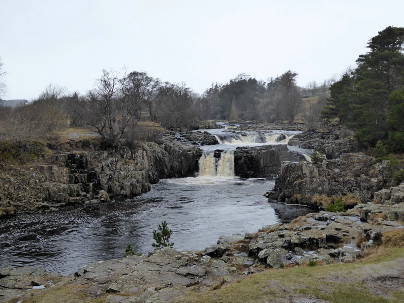
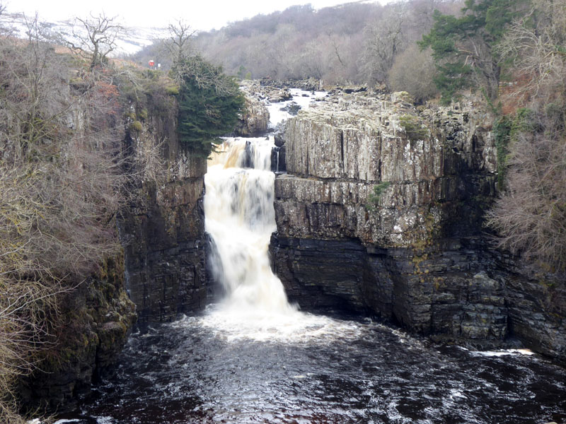
High Force
~~~
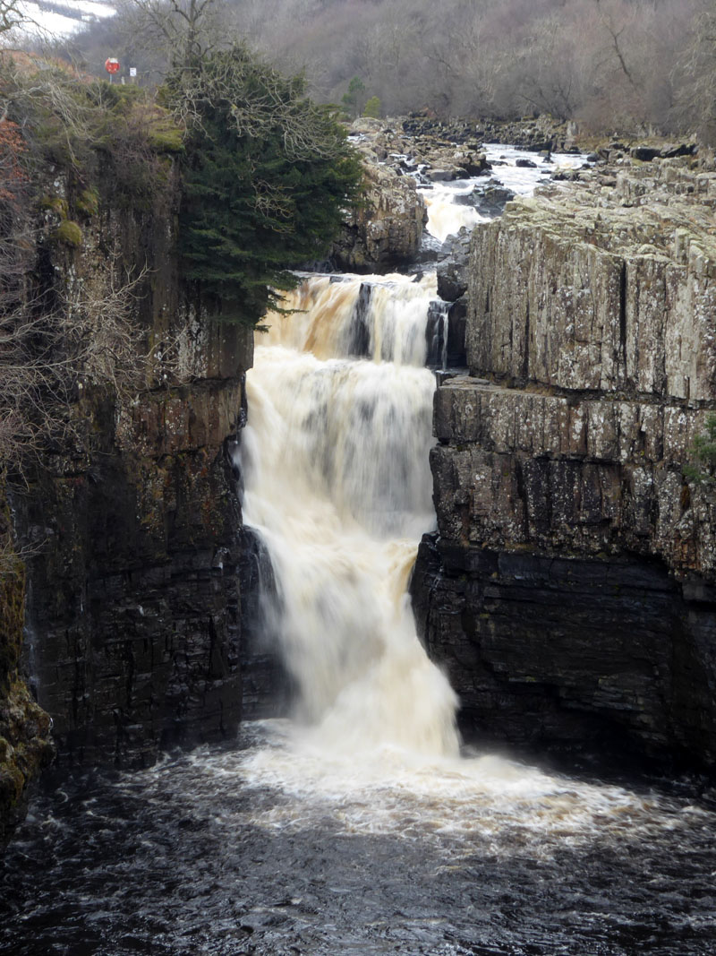
High Force is not the highest waterfall in England, but when in spate, more water falls here than over any other waterfall in the country. The middle one of my three photos shows the width of the fall, and after heavy rain water comes down both sides and after Storm Desmond (December 2015), water was also coming over the middle bit.
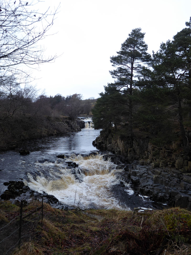
To Low Force
 |
 |
A steady, safe walk along the Pennine Way to the next waterfalls.
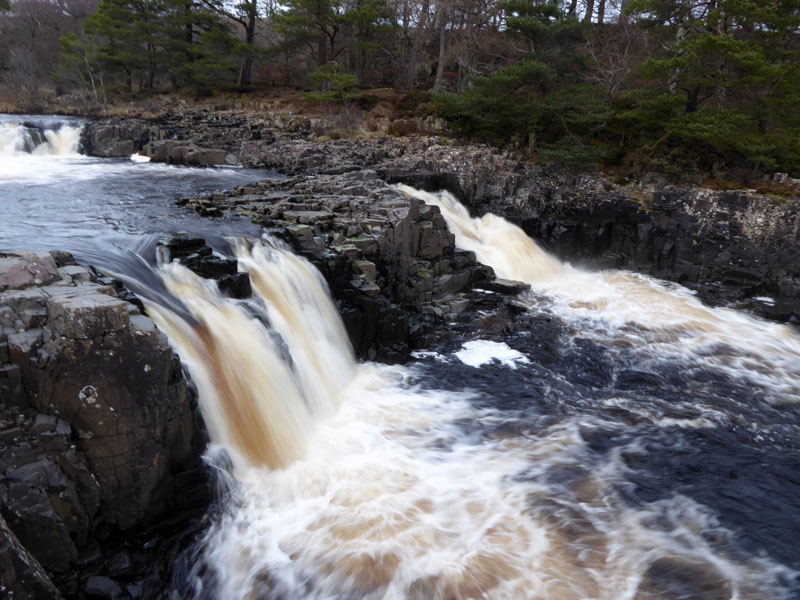
Low Force
~~~
Walkers: Jo with Amber, Molly and Me.
Time Taken: 4.5 hours over a distance of about 7 miles.
Refreshment Review: I tried to find the right place for a tea-time meal on a Monday evening and decided to try The Three Tuns at Eggleston. They score highly for being open for food and up another notch for being dog-friendly and having a real fire. Nothing really to complain about, obviously quiet at this time of week in winter.
Route: as described from Bowlees Car Park.
Weather: Cool and cloudy.
All photos copyright Richard Ratcliffe 2018 ©
Take me back to the start ....