~High Pike to Nab Scar~
A Fairfield Horseshoe
28th April 2018
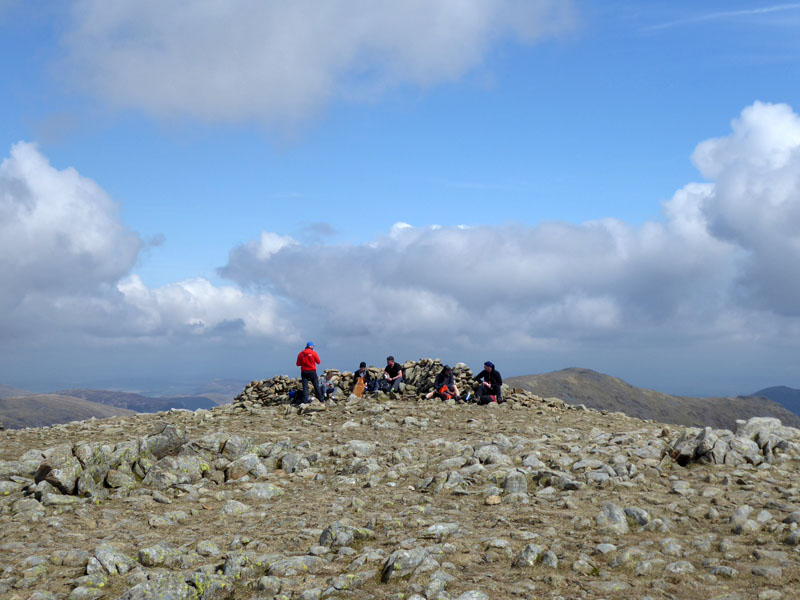
Fairfield Summit
Scroll down for photos and a description of the walk....
 |
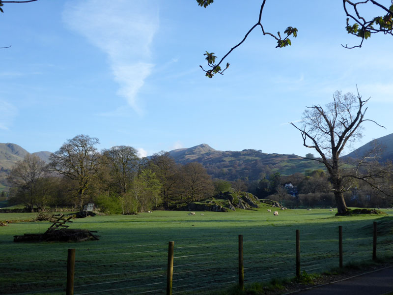 |
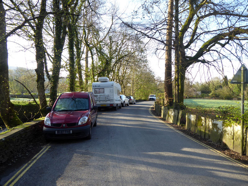
Today's walk started from the road behind Ambleside Park at 07:40hrs. Soon enough there is an appetising view of the fells we're heading for; this being the first Lakeland walk of 2018 it needs to be a good one!
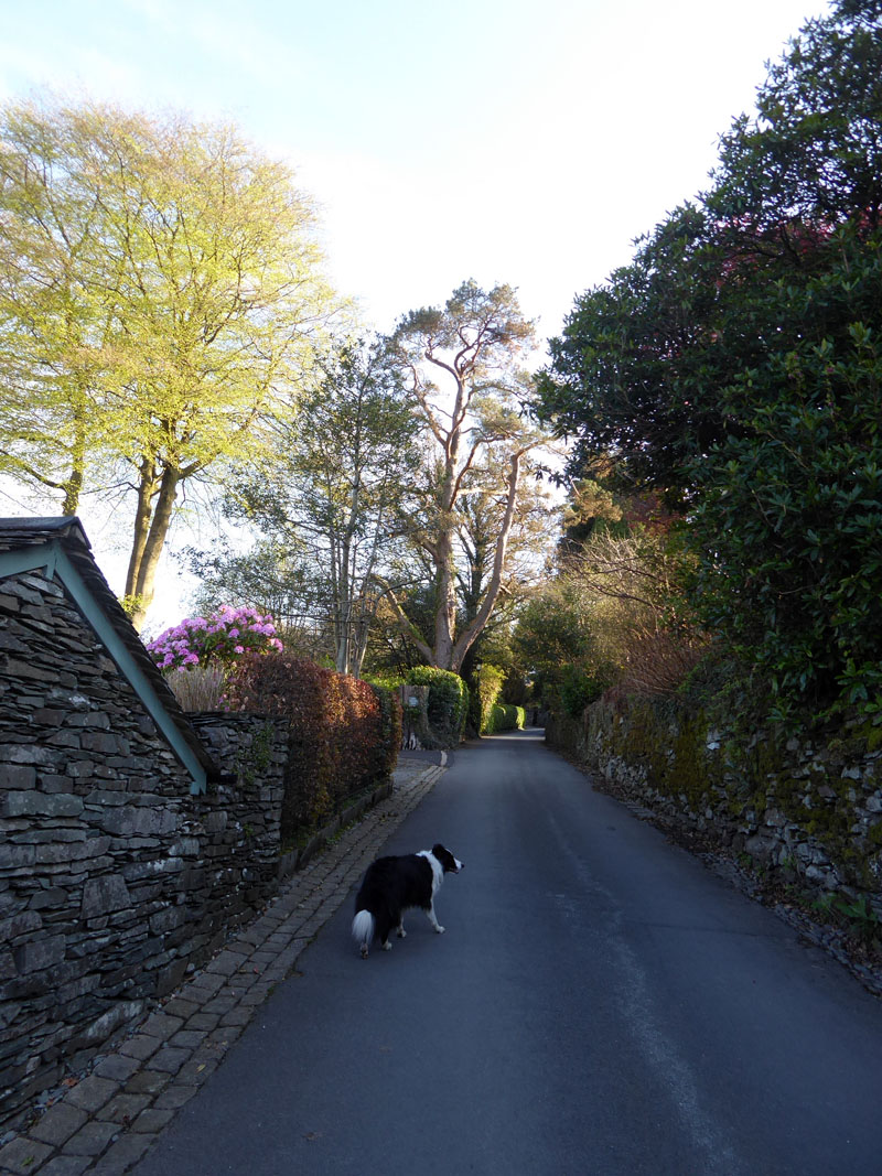
Sweden Bridge Lane
Through Ambleside and then up Kirkstone Road for a short while until a left turn takes us onto Sweden Bridge Lane.
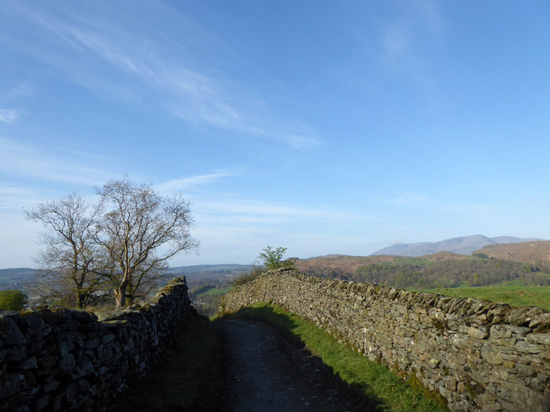
Coniston Fells
Looking back down the lane, the Coniston Fells come into view. The MWIS forecast contained the following: "One or two clusters of hail and snow showers from dawn, albeit overall the morning
substantially dry. By early afternoon, a scattering of showers breaking out, and moving
around slowly, tending to drift westwards, locally giving precipitation for an hour or so.
Mostly rain lowest slopes." Worth starting early and taking a chance, I thought.
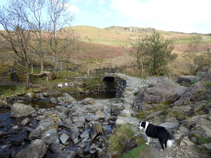
High Sweden Bridge
Fully four years since I've been across this bridge and whilst Molly was approaching six weeks old at that time, we hadn't met and she wasn't in my plans. How life has changed!
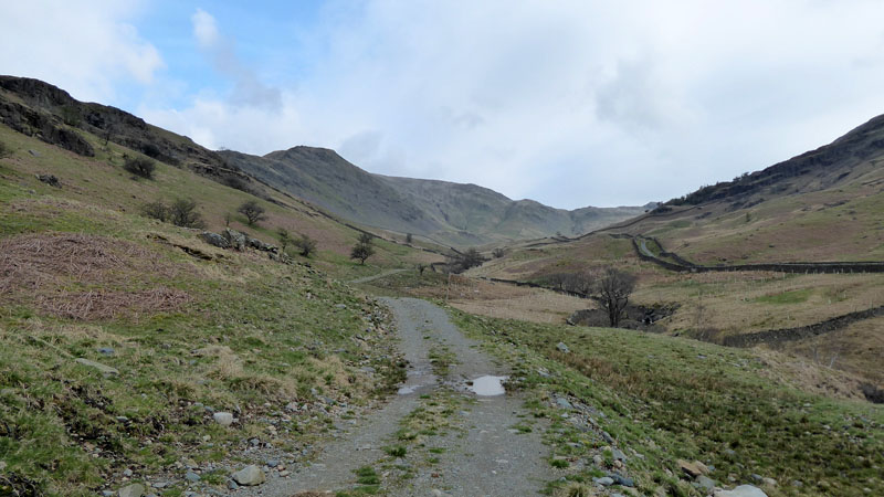
Scandale Beck
Today's choice is to attempt a "Direct Ascent" of High Pike, the second fell when walking the Fairfield Horseshoe in an anti-clockwise manner. Wainwright states that "those who like steep scrambling over rough ground" might try to gain the summit of High Pike via a shoulder above Scandale Bottom. So here we go...
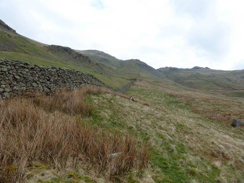
Scandale Wall
Having lost any trace of a path, we found this wall offering an impenetrable barrier to our progress. However, we found a safe way through higher up and were able to begin the 700ft ascent to the top.
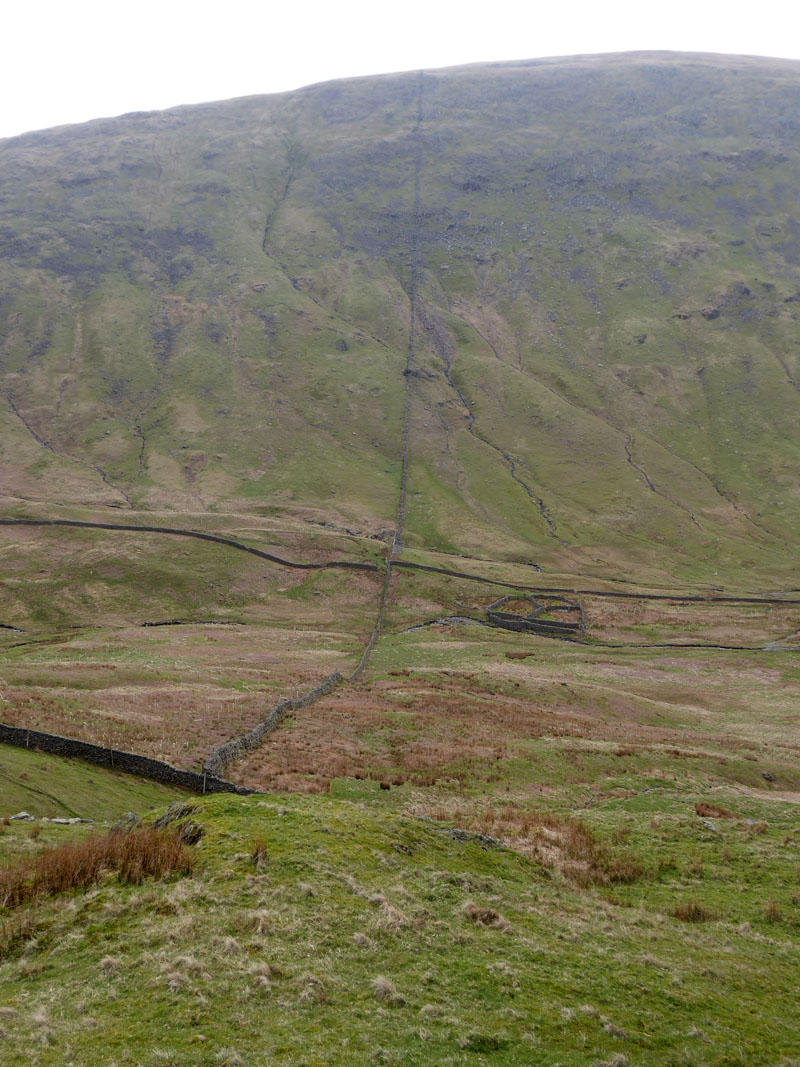
Scandale Bottom
The wall extends up Red Screes on the other side of the valley.
 |
 |
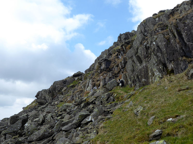
Up The Rocky Slope |
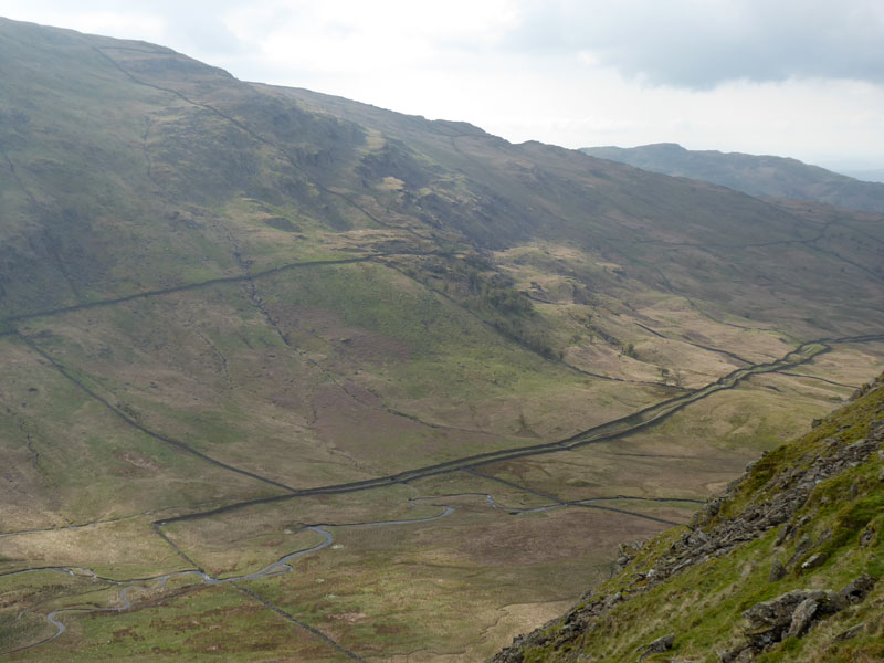
Scandale Beck |
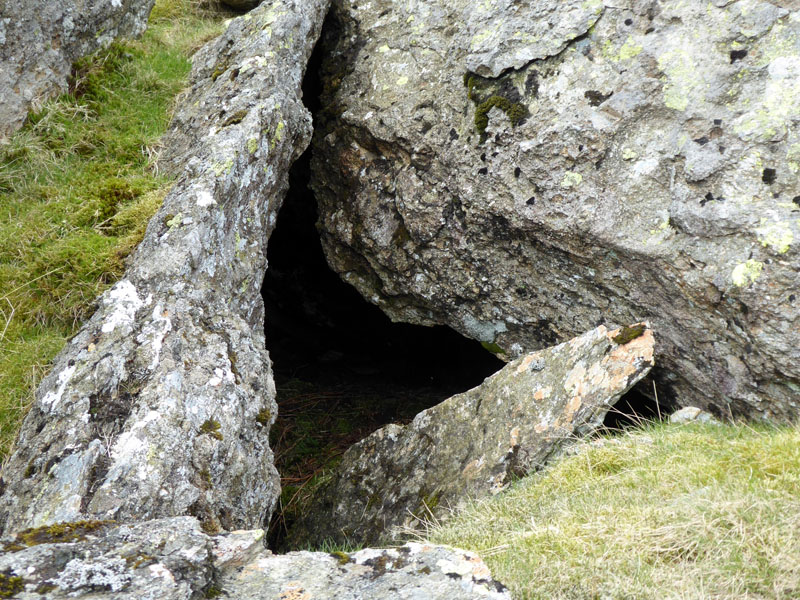
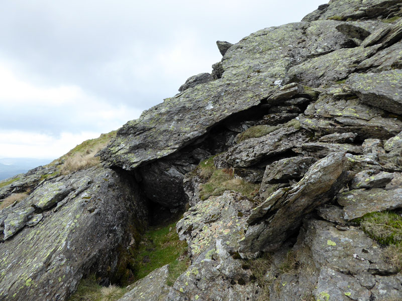
Pathless, but not particularly dangerous and further up rockfalls have created little caves and havens for wildlife.
 |
 |
~~~
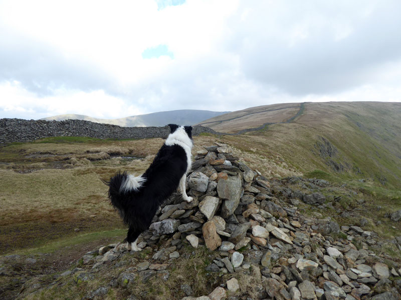
High Pike Summit 2,155ft asl
Molly is quick to spot that we are not really at the top of the mountain and there is more to do.
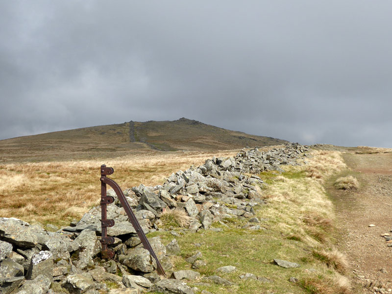
To Dove Crag
The weather has changed and much of the sky has clouded over. The summit of Dove Crag comes into view; it's always a cheat to claim to have climbed a fell when all you do is walk a "ridge" from one top to another, but tick off the summit by all means and enjoy the walk!
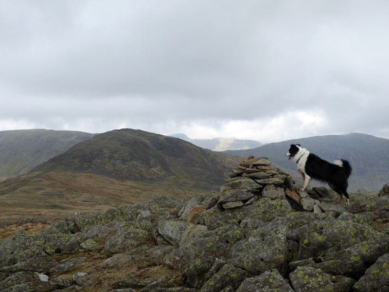
Dove Crag Summit
Next up is Hart Crag on the horseshoe route.
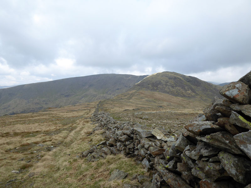
Brew Time
A quiet sheltered spot behind the wall for a cup of tea.
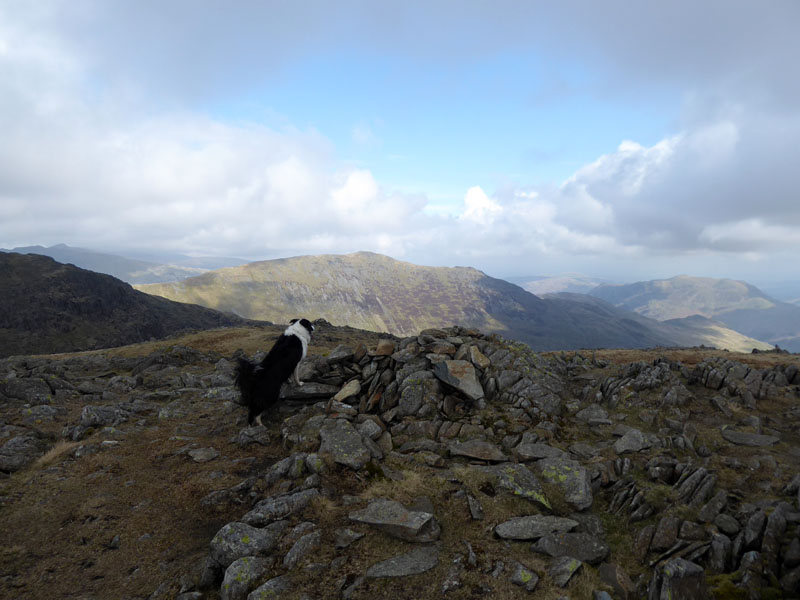 |
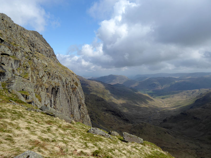 |
Hart Crag Summit |
View into Deepdale |
And so onto the final ascent of Fairfield.
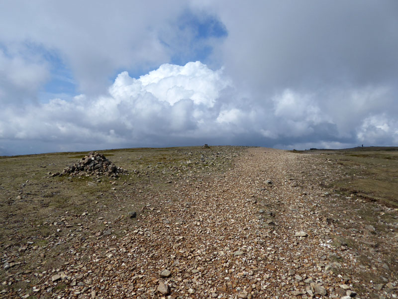
Fairfield Summit Territory
One of my favourite summit landscapes. Games should be played here: cricket, football or simply find the highest point.
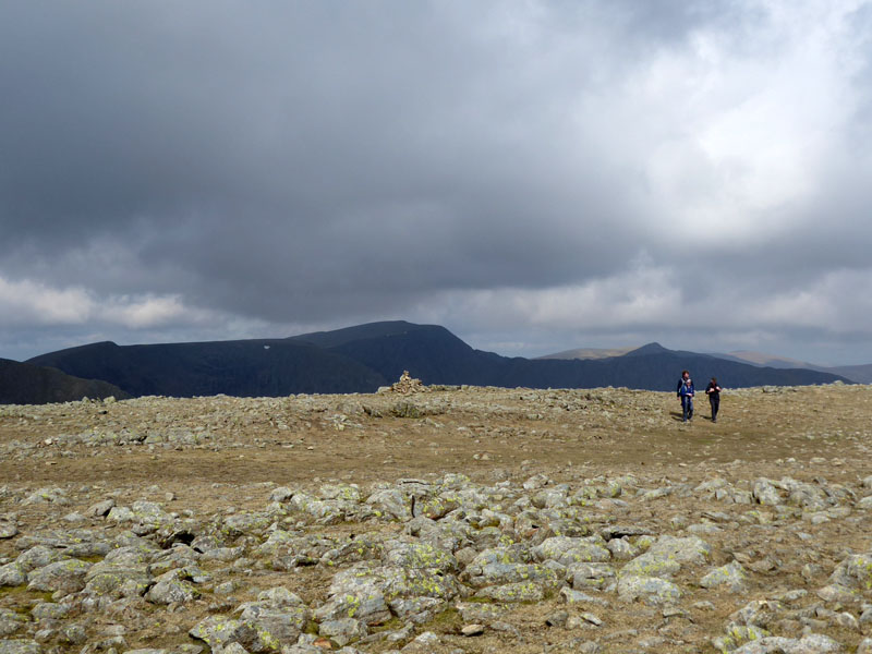
~~~

There are many shelters around the top of Fairfield and a group is taking time out in one of them. It can't be "summit hogging" as there doesn't seem to be a summit cairn as such.
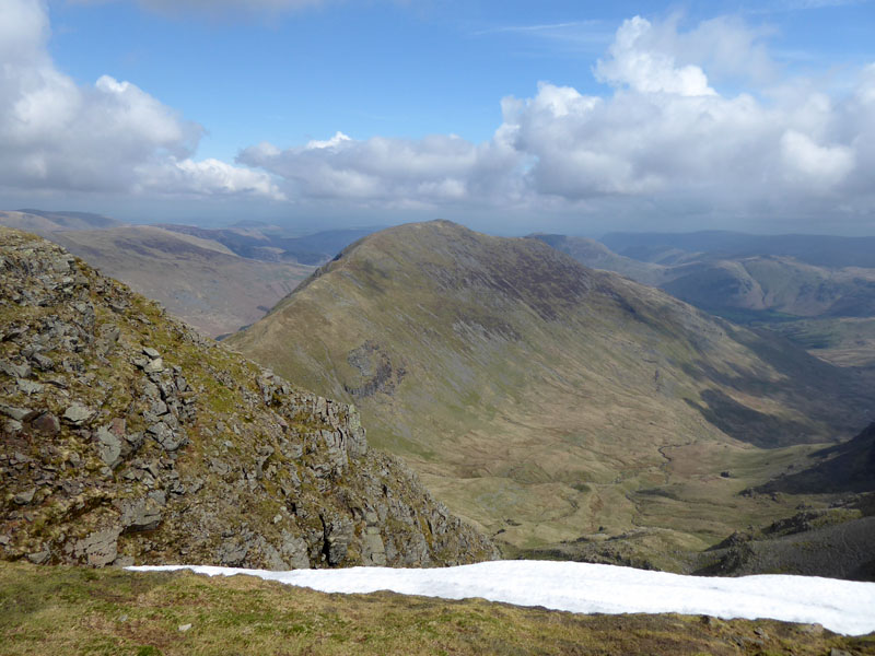
St.Sunday Crag
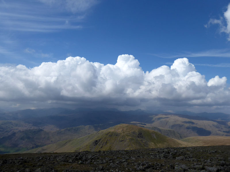
Seat Sandal
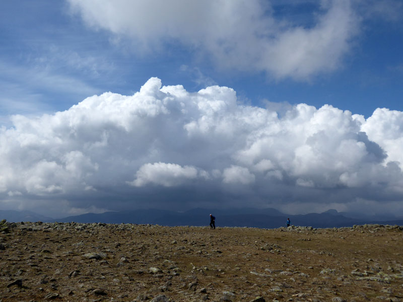
The Scafell Range
Further west and to the south-west clouds are building and those showers are going to affect other areas and walkers here, to the north and further east seem to be staying dry.
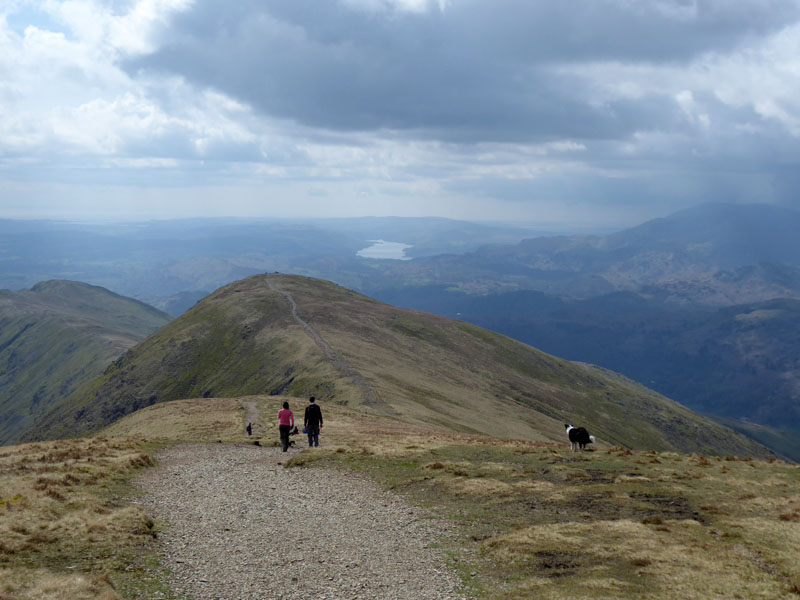
To Great Rigg
So begins one of Lakelands most enjoyable descent routes: no awkward steep bits, great views all around and a few more summits to bag without much effort at all.
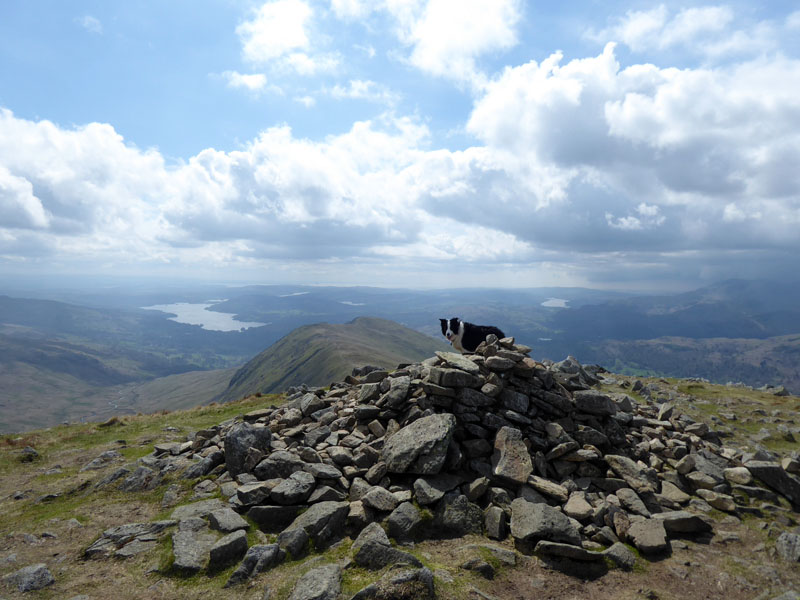
Great Rigg Summit 2,513ft asl
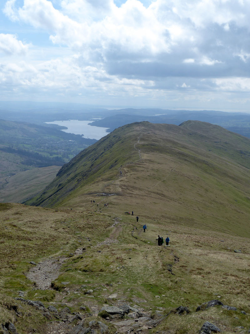
To Heron Pike
On the way we passed more than 50 walkers raising money for the Owen McVeigh Foundation.
 |
 |
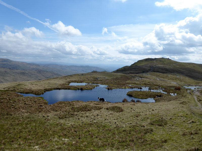
Pools & Erne Crag |
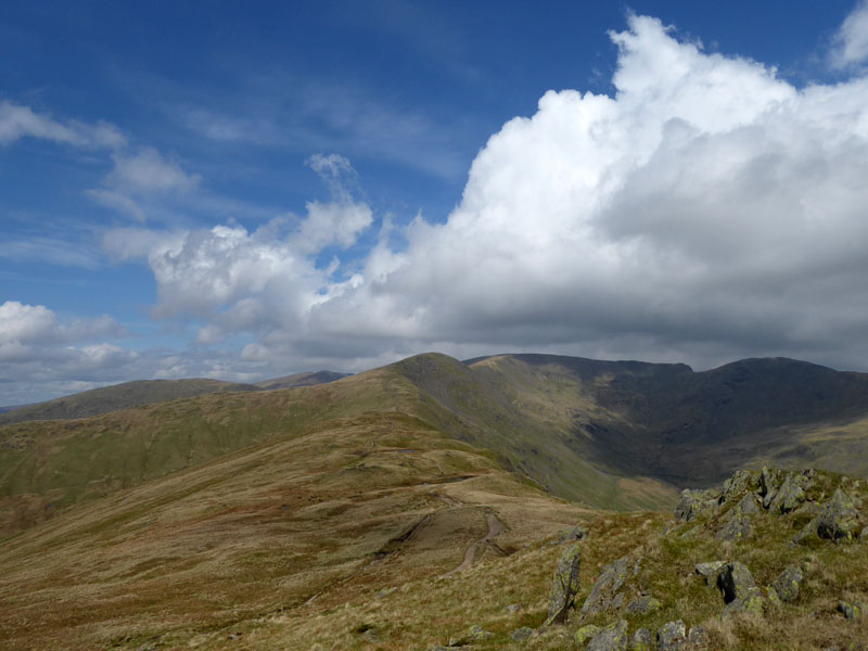
Looking Back to Fairfield |
A refreshment opportunity for Molly just before we walk to the small summit of Erne Crag. Such is a great place for a rest, most walkers give it a miss on their way round the horseshoe.
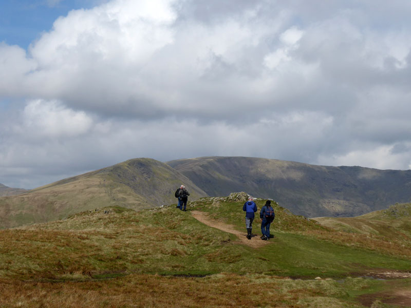
Walkers were loitering around the top of Heron Pike, one was heard to suggest that the nearby Erne Crag was the top of Heron Pike, which is fine by me. Just names and lumps and bumps on this fine landscape.
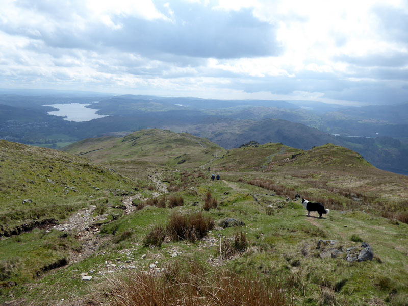
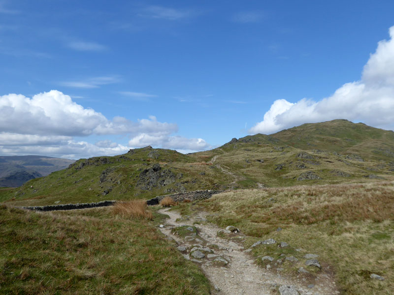
To Nab Scar
More easy downhill walking with Lord Crag on the right as we head off down the mountain.
 |
 |
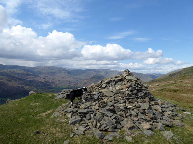
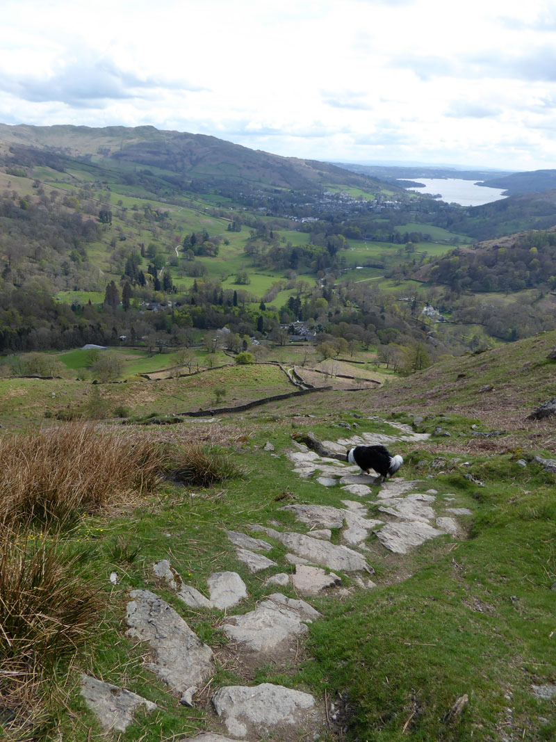
Nab Scar Summit Cairn 1,450ft asl (approx.) |
Looking Back |
I cannot remember the last time I walked down this way, maybe around 1986!
~~~
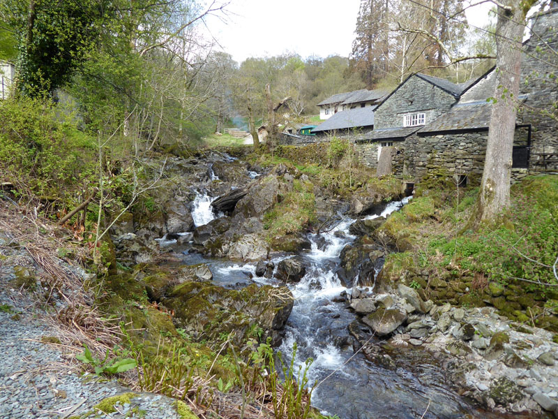
Rydal Hall Cafe
Tea & Tiffin at the cafe with a view of the waterfalls. Then a walk through Rydal Park en route to Ambleside.
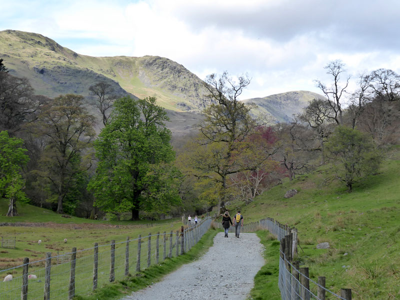
Rydal Park
A last look back at the fells as we through Rydal Park. The park path leads on to the road into Ambleside and so we continue that way and through the town back to the car.
Walkers: Molly and Me.
Time taken: 7hrs 30mins over a distance of about 12 miles.
Route: Ambleside, High Sweden Bridge, Scandale Beck, area above Scandale Bottom, High Pike, Dove Crag, Hart Crag, Fairfield, Great Rigg, Erne Crag, Heron Pike, Nab Scar, Rydal Hall, Rydal Park, Ambleside
Weather and conditions: Sunny, cloudier, sunnier and generally a very fine day for fellwalking.
Refreshments: Fine cafe welcomming muddy boots and dogs at Rydal Hall, follow the signs for the tearoom.
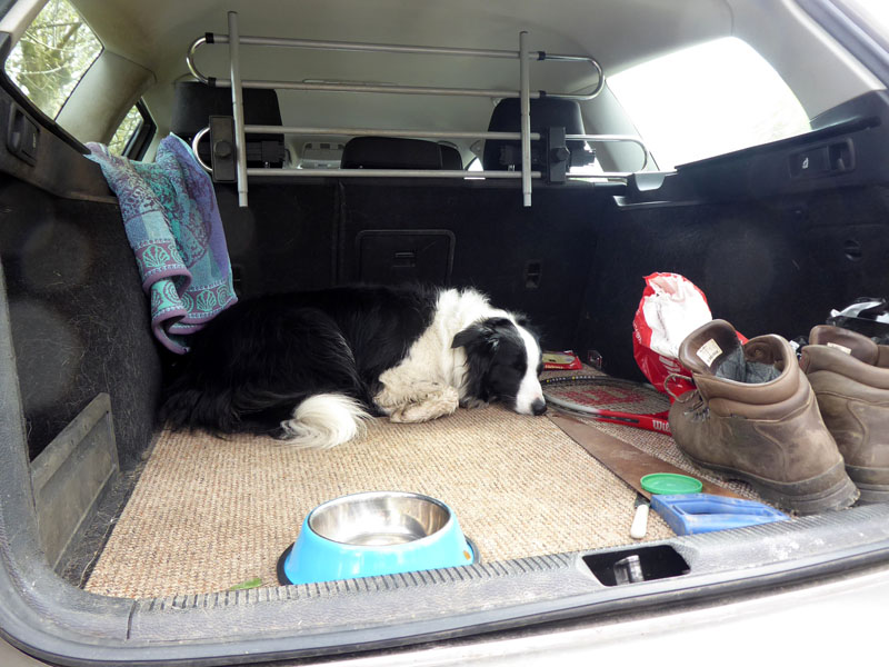
Dog Tired
All photos copyright Richard Ratcliffe 2018 ©
Take me back to the start ....