
~Glaramara to Scafell Pike~
1st September 2017
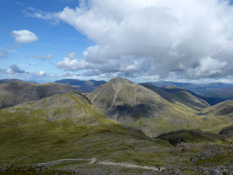
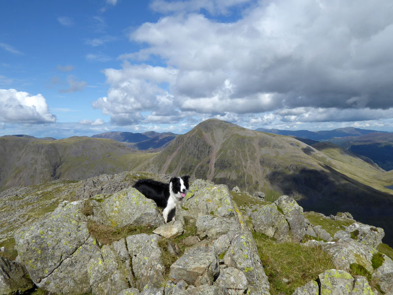
Lingmell & Great Gable from Scafell Pike
Scroll down for photos and a description of the walk....
 |
 |
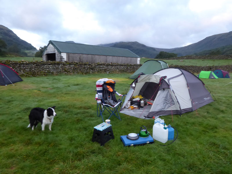
It's 06:30 hrs at Chapel House Farm Campsite in Stonethwaite, Borrowdale and time to stretch the legs. A walk up The Combe for Glaramara is on the cards and we'll see what happens after that....
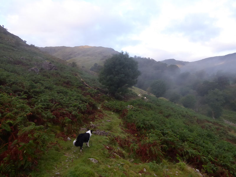
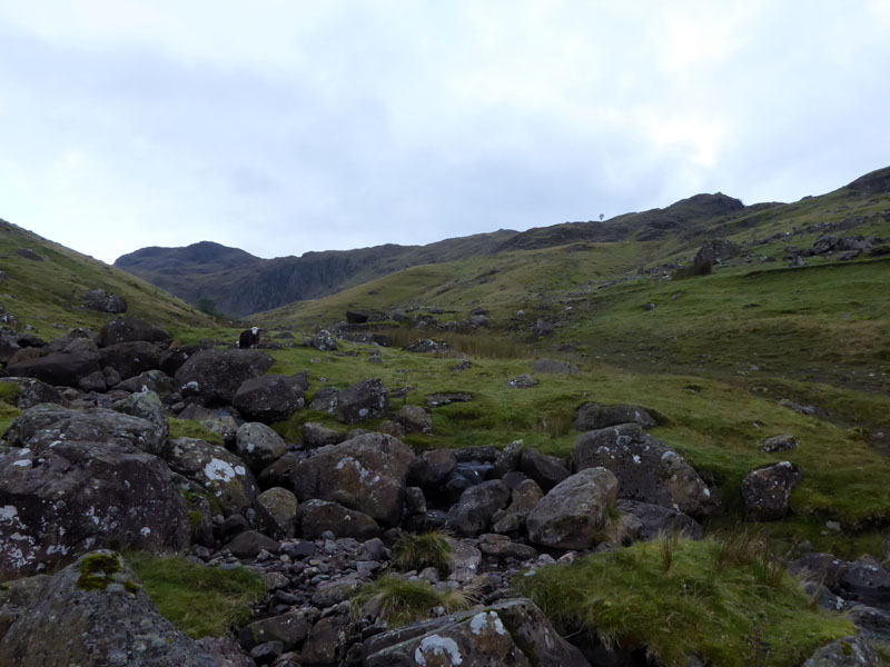
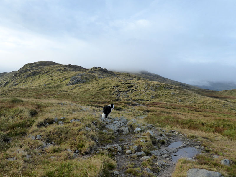
Combe Gill
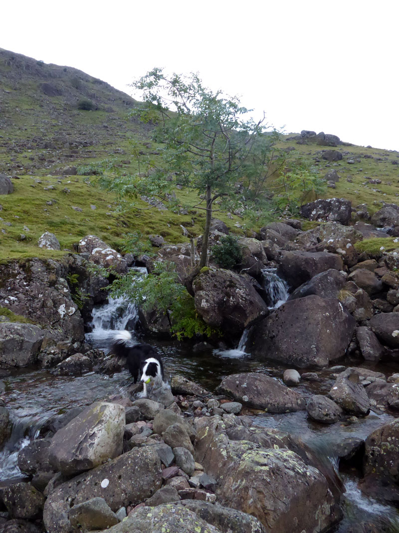
This could be a mainly dry, ridge walk - at least in the early stages, so it was good for Molly to get wet early on. I decided to climb Glaramara via this route from Stonethwaite as it looked interesting and it would be a new route, then I realised that we had done just the same two years earlier! Nevermind, it is a great way up to the higher fells and unlike last time, we wont get lost in the clouds...
~~~
Viewers may notice a tree on the skyline, up there on the right. Wainwright's "Glaramara Page 5" map shows such a tree above the "indistinct section". The sheep doesn't feature in the map, but the animals are the subject of his dedication at the start of Book Four.
Molly
Ditto 16th August 2015
Mountain Mist
 |
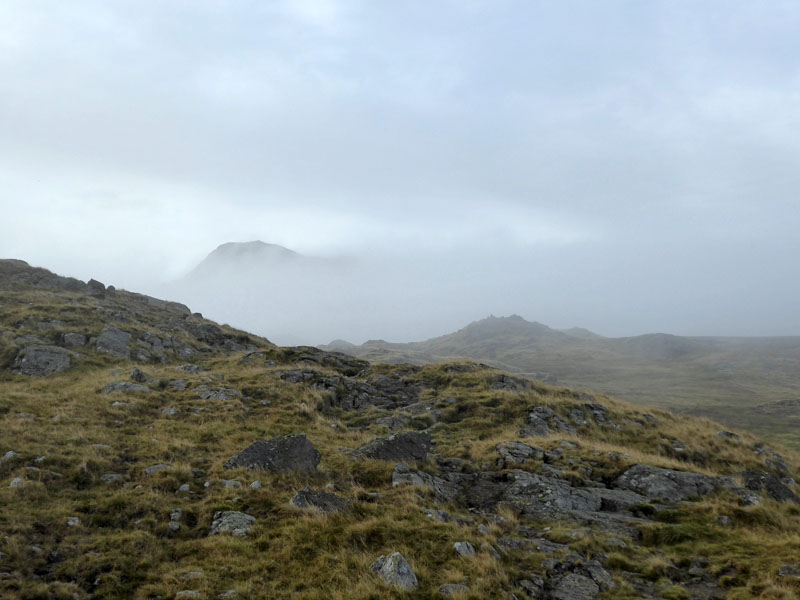 |
Thornythwaite Fell |
Combe Head |
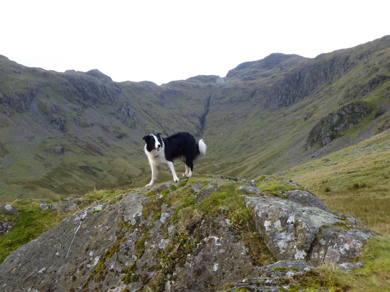
Hmmm, last time I got misplaced en route from Glaramara to Allen Crags and this time there is a risk I'll not find the right way to the top of Glaramara, so it's ime for a brew and let's see what happens in the next fifteen minutes or so.
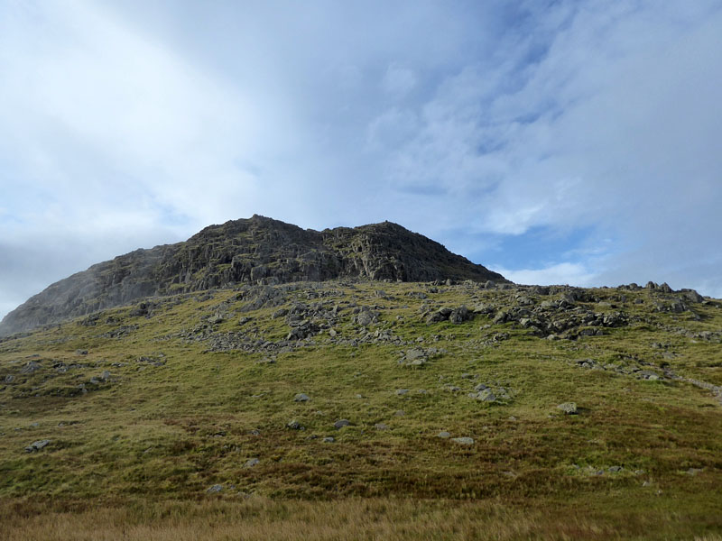
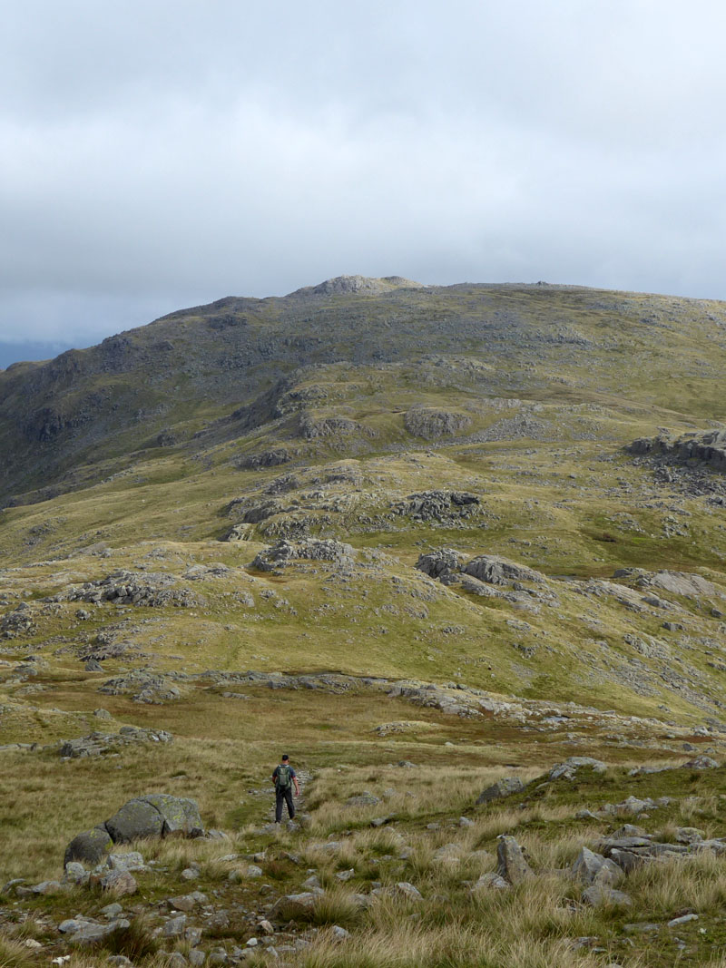
Summit Approach ~ Glaramara
Patience rewarded as the misty clouds cleared to offer this view of the summit approach. Also, last time, Molly tumbled off the rock step in an ungainly manner, so this time we will go around the side for a less steep scramble to the top.
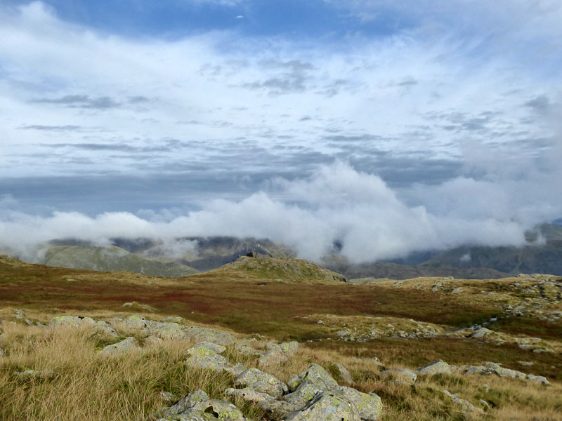
Over There
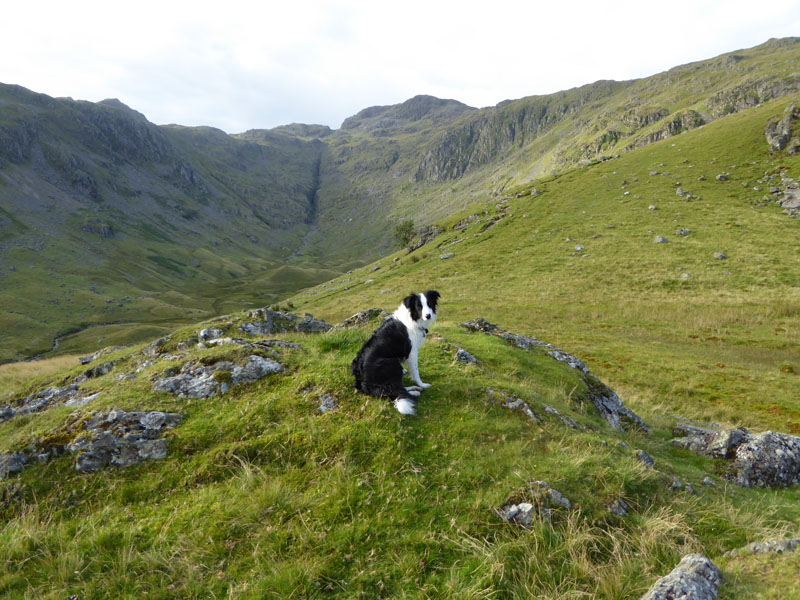
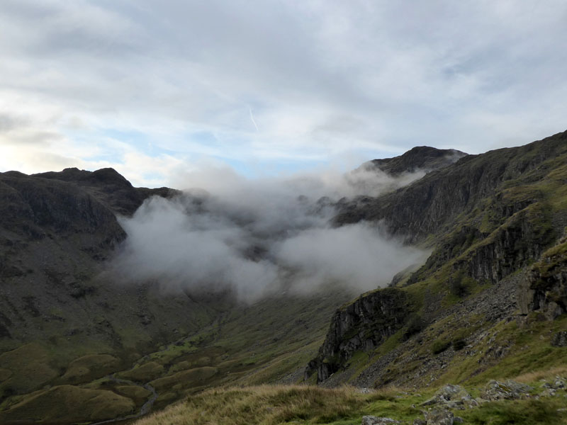
The misty conditions are evident on other peaks over in that direction.
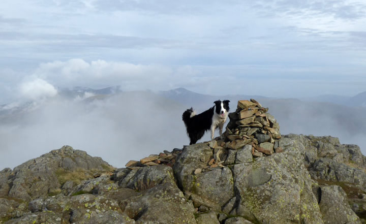
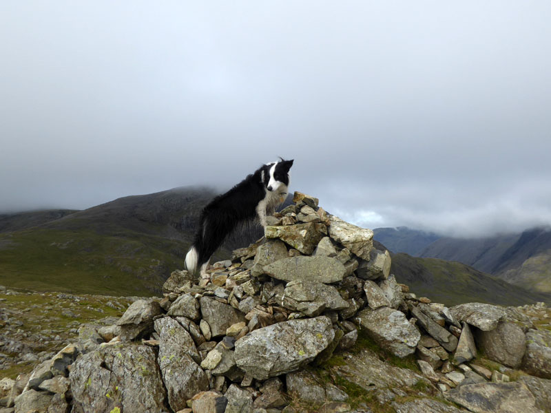
Molly on top of Glaramara 2,560ft asl
It's 09:10hrs and unsurprisingly, we have the place to ourselves. It's a great walk up from Borrowdale to Glaramara summit, mainly a ridge walk and free of unavoidable dangers and large groups of fellwalkers (usually).
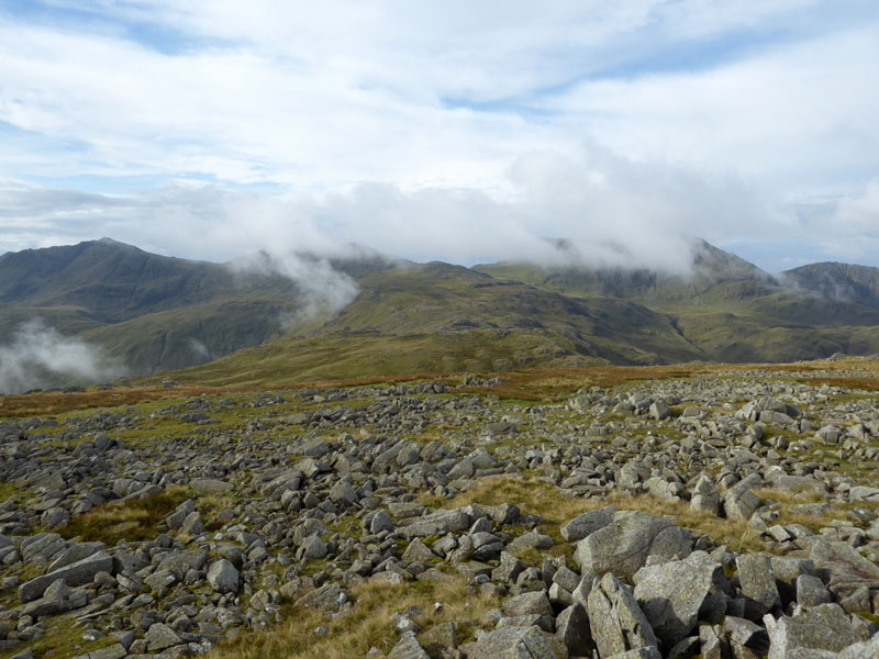
To Allen Crags
One of the most enjoyable ridge walks with "five depressions" and 500ft of ascent. I felt OK and didn't suffer any mood changes as we walked the nearly two mile stretch between neighbouring fell tops.
Great End
~~~
Looking Back
Our first greetee, three and a half hours in. That's the view back to Glaramara.
Allen Crags Summit 2,572ft asl
Allen Crags is...Allen Crags are? Ah well, it's just another high point on this walk and not a headliner by any means. An easy one to tick off the list for most fellbaggers; not many postcards feature this fell and fewer still get used and sent home by triumphant and intrepid climbers.
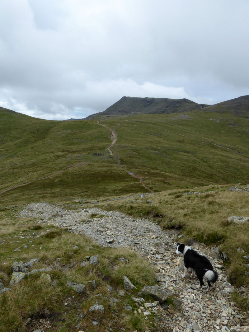
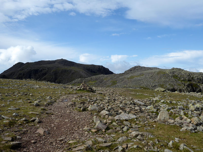
To Esk Hause
No doubt now that the clouds are lifting and we can aim for Scafell Pike. We cross Esk Hause and veer to the right, the highest fell in England awaits Molly's first visit.
 |
 |
Looking Back to Esk Hause |
To Scafell Pike |
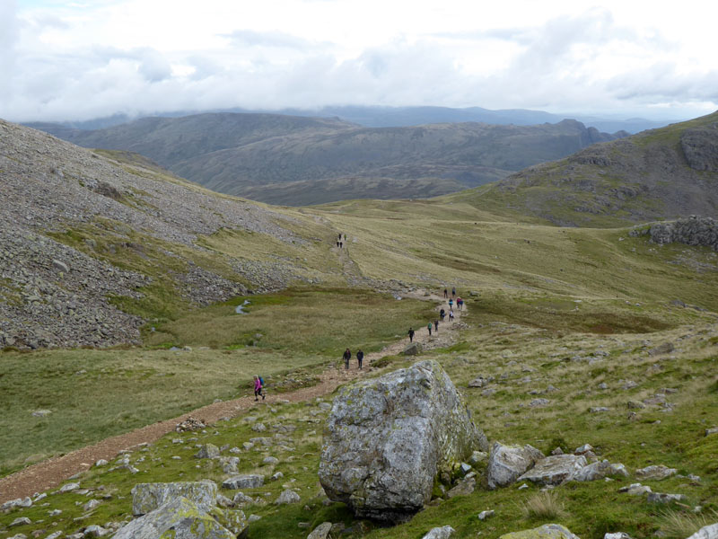
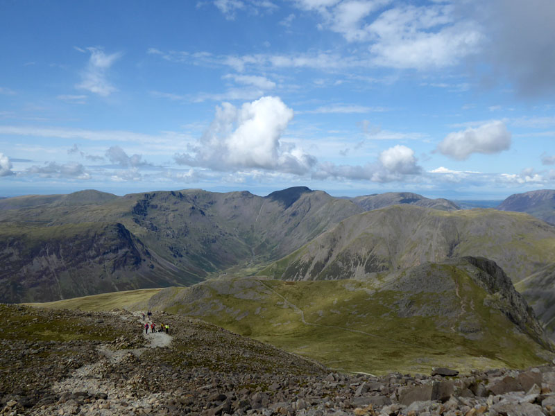
No danger of loneliness on Scafell Pike walks! The path above Calf Cove becomes rocky and this is no place for pushchairs, the boulder field adjacent to Broad Crag is quite a test for two legs at the best of times and even more of a challenge for those with four.
Broad Crag
Great Gable
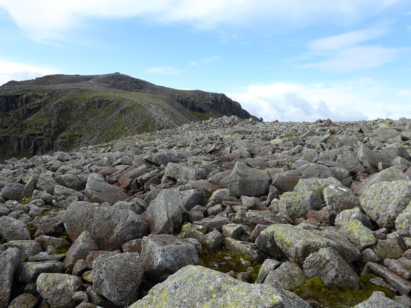
The Boulder Field ~ Take Care!
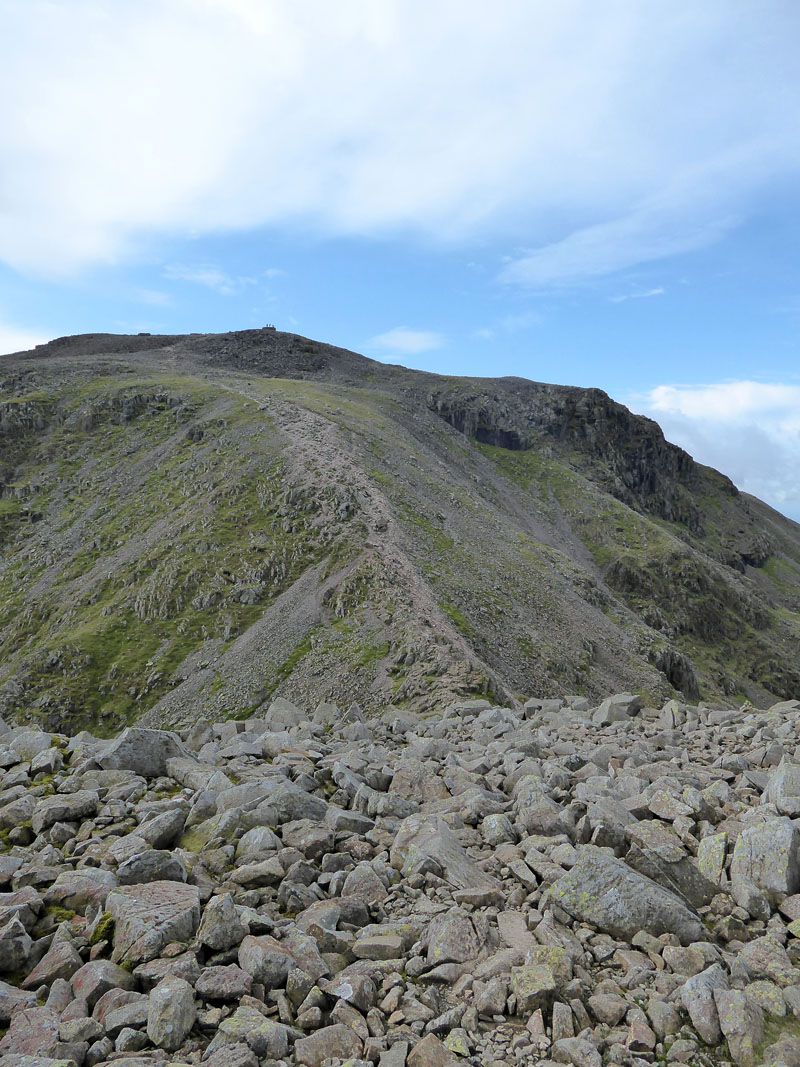
To Scafell Pike
Molly on top of Scafell Pike 3,210ft asl
Just for a few moments Molly was the top dog. It's a busy place, a "tourist" mountain, the top tick on the list. It's a full five years since I was last here and its popularity makes it less appealing for those of us that like a little peace and quiet on the fells. Still, well done to all those that get to the top, there's no rail service or cafe up here.
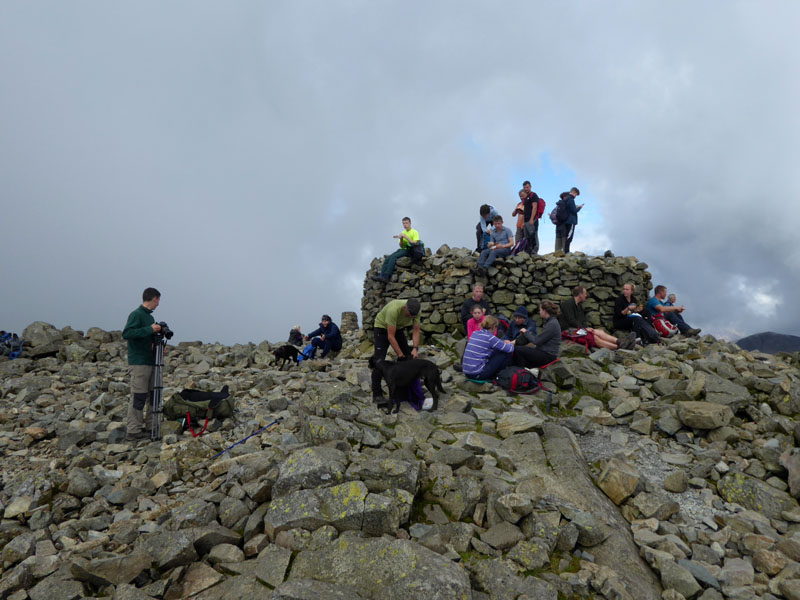
Summit Gathering
Giddy groups of walkers and foraging hounds...time to find somewhere quieter for a bite to eat.
Pen
Just a few minutes walk to the south-east and nobody else in sight (or sound) as we sit and enjoy the view over to Crinkle Crags. Pen is the rocky crag in the foreground.
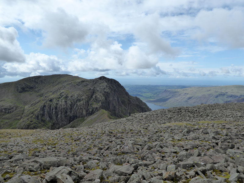
Scafell and Wastwater
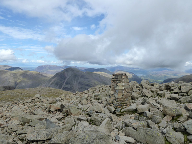
Scafell Pike Trig Point 3,210ft asl
A man with his GPS was stood on top of the summit "plinth" and discovered that Scafell Pike was actually higher than stated! Well done that man! How rewarding to be stood in the company of such intelligent folk.
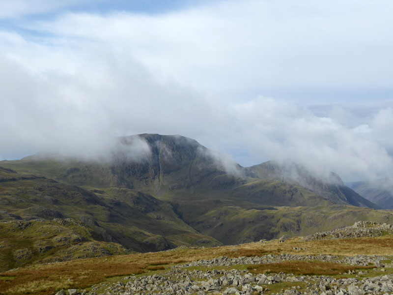
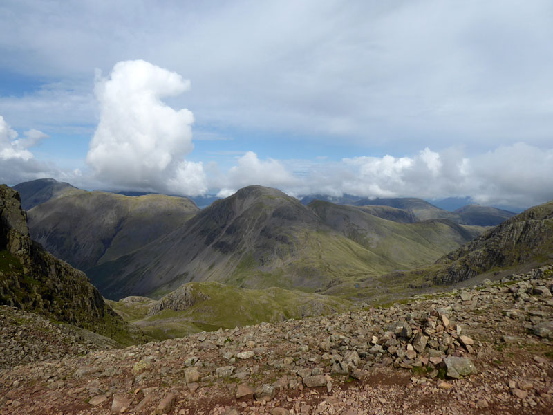
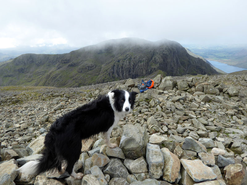
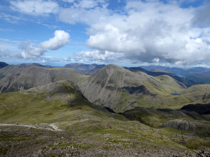
Pillar is the one under the shadow of a cloud.
Lingmell and Great Gable
On the way down to Lingmell col, I thought it would be a lost opportunity not to climb the 280ft of ascent to Lingmell summit on a grand day such as this.
Molly on top of Lingmell 2,649ft asl
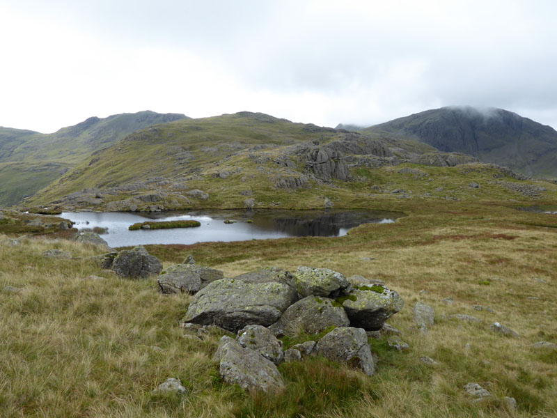
There is a man-made cairn on the other rocky top, I decided to opt for the other highpoint for our summit photo. Just here we had our afternoon siesta. We have experienced the jostling for position on Scafell Pike and we can see the crowds on Great Gable. But just here, between the neighbouring giants, there is nobody else to be found.
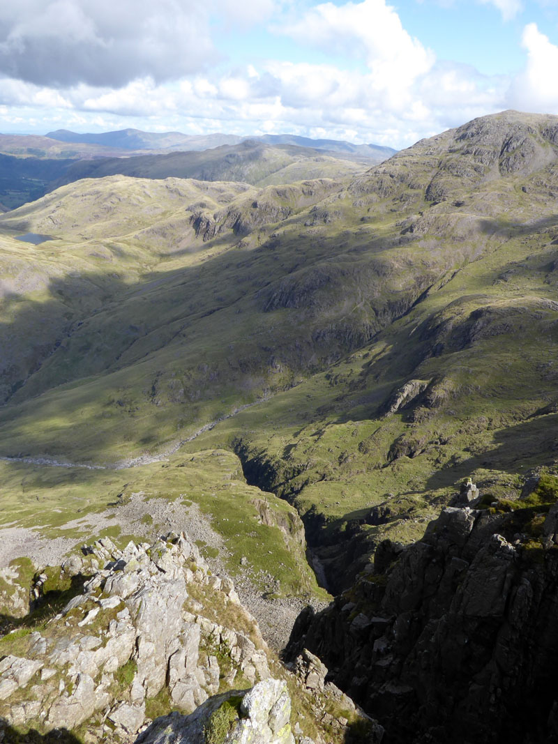
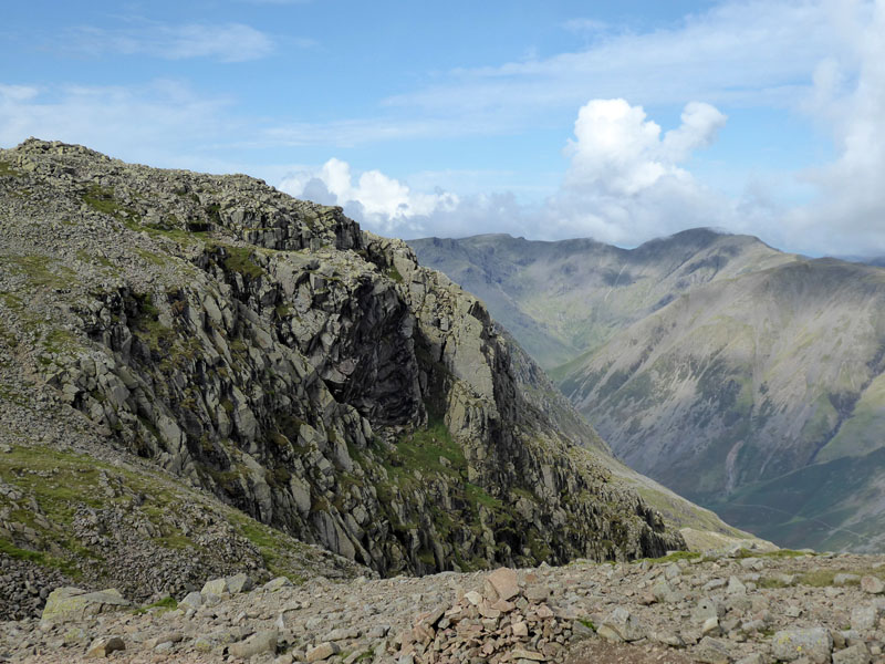
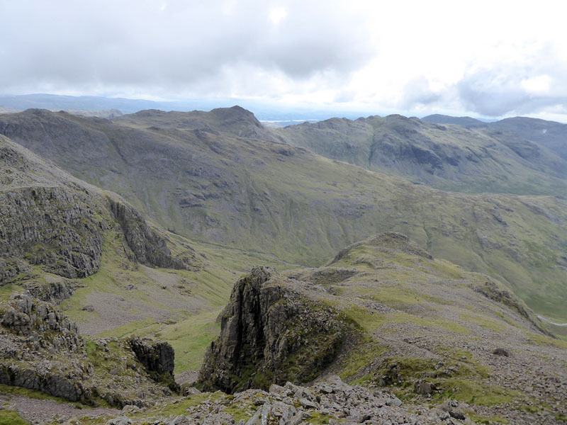
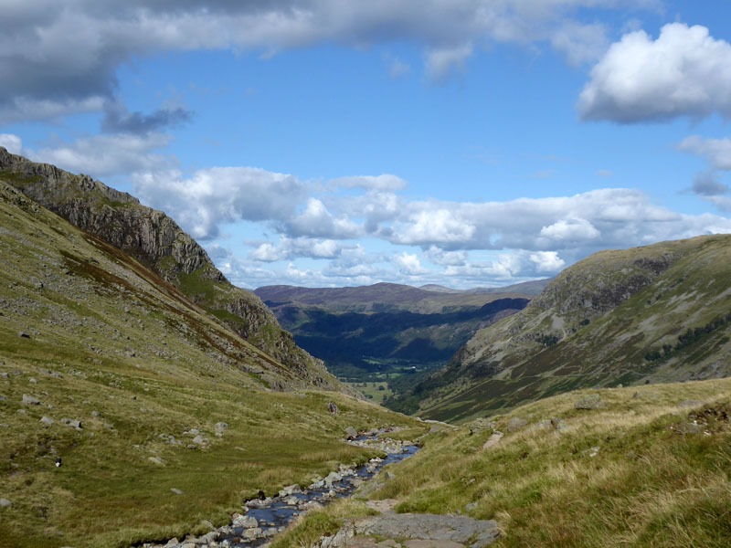
Piers Gill
Looking down Lingmell Crag to Piers Gill with Great End on the right and Glaramara in the distance. We headed back to the col and onto the Corridor Route for Styhead Pass. A small tarn just off the path and one of its residents.

~~~
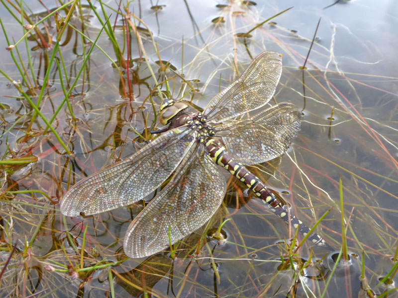
Dragonfly (presumably)
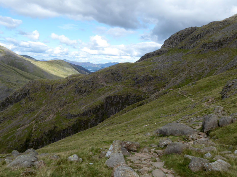
The Corridor Route
This popular ascent route is generally easy, but there is one tricky rock step which is potentially dangerous.
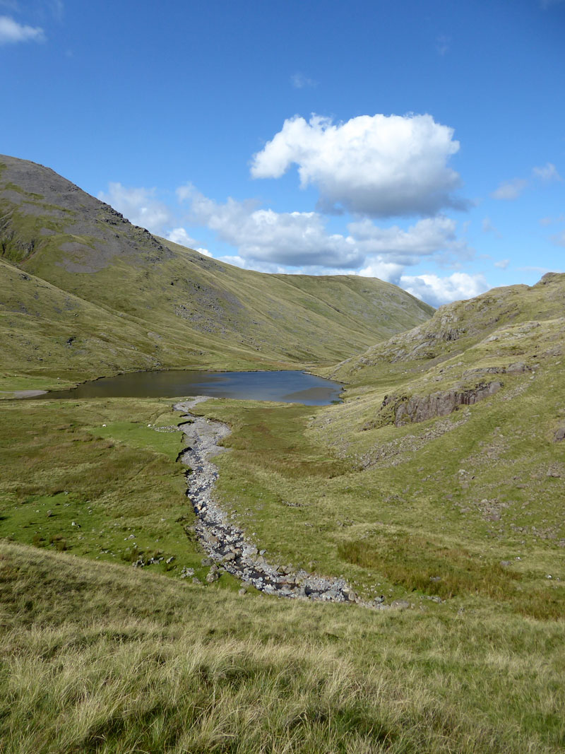
Styhead Tarn
Styhead Gill
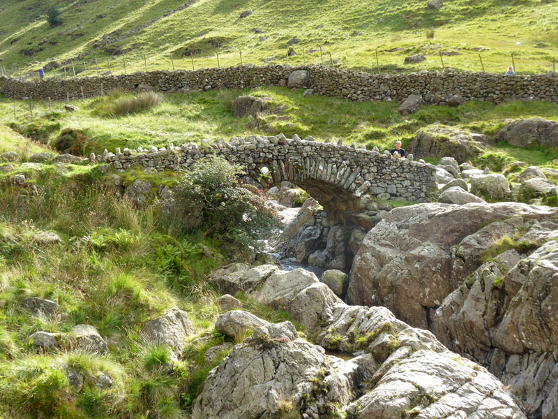
Stockley Bridge
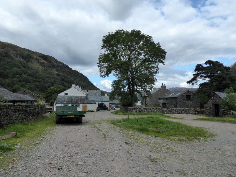
Seathwaite Farm
We took the "Allerdale Ramble" path back to Stonethwaite. It avoids the tarmac route and gives weary legs plenty of opportunities to trip and stumble.
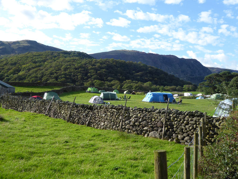
Chapel House Farm Campsite
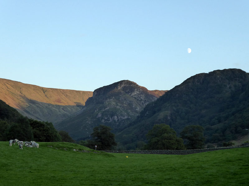
Arriving back at 17:00hrs. Time to refresh and then wander off down the road for a bite to eat. Later...
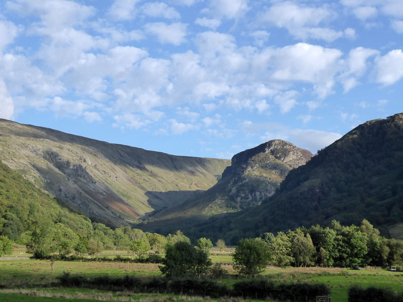
Eagle Crag
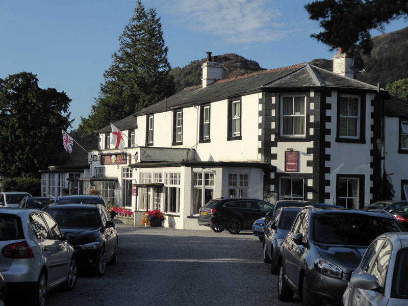
Scafell Hotel
Walkers: Molly and Me.
Time taken: 10hrs 30mins over a distance of about 14 miles.
Route: Chapel House Farm Campsite, The Combe, Thornythwaite Fell, Glaramara, Allen Crags, Esk Hause, Broad Crag, Scafell Pike, Lingmell, Corridor Route, Styhead Tarn, Styhead Gill, Seathwaite Farm, Rural path back to Stonethwaite.
Weather and conditions: Misty, clearing to sunny and warm.
Refreshments: The Riverside Bar in The Scafell Hotel offers a warm welcome and a good menu. Serving from 6pm, my suggestion is that you get there early as by the time I was leaving, most tables were taken. Tasty food and a fine selection of beers. No Wi-Fi!! People were talking to each other rather than staring at their devices...it could catch on.
~~~
All photos copyright Richard Ratcliffe 2017 ©
Take me back to the start ....