
~Dove Crag to St.Sunday Crag~
6th October 2017
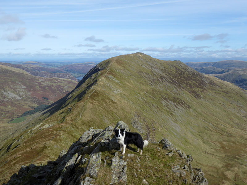
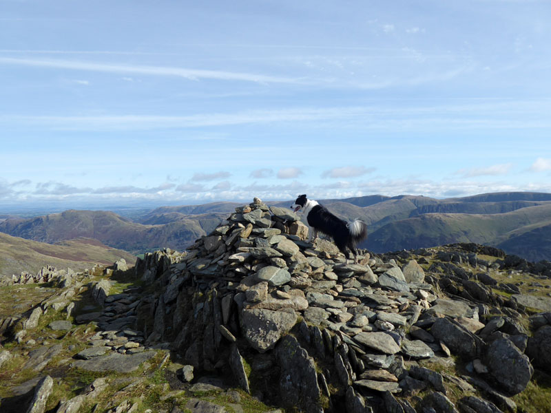
Molly on Cofa Pike
Scroll down for photos and a description of the walk....
 |
 |
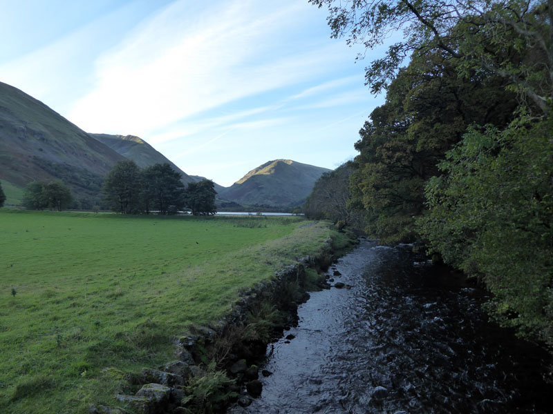
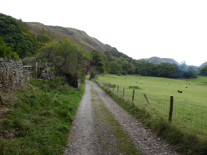
The walk starts at 08:30hrs from Cow Bridge car park, Brotherswater.
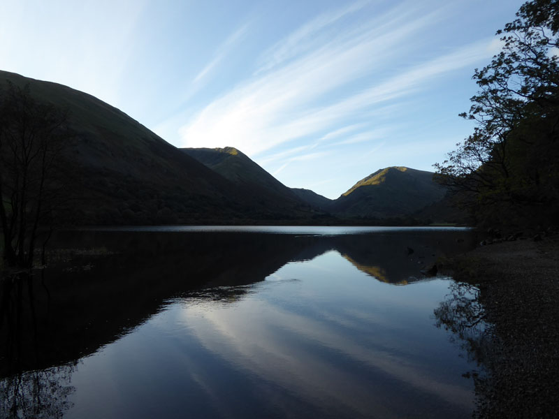
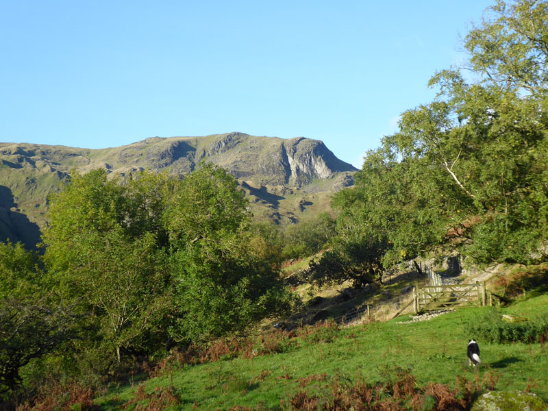
Brotherswater
Sometimes it's just about picking one of the old favourites and seeing again some great views and walking well-trodden paths. The ascent of Dove Crag from Cow Bridge is a Lakeland classic, on a sunny day you cannot be disappointed by the steady climb of the initial sections and the steeper reaches further on.
~~~
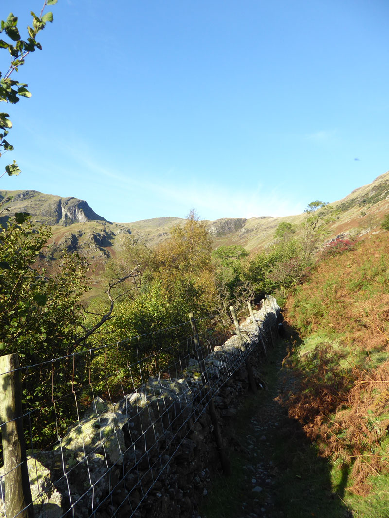
One can either follow a lower path by the beck up Dovedale, or as recommended by Wainwright take the miners' track into the woods and if you are here in October (which I clearly am) look out for a profusion of Hazel nuts!
~~~
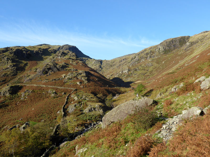
Dovedale
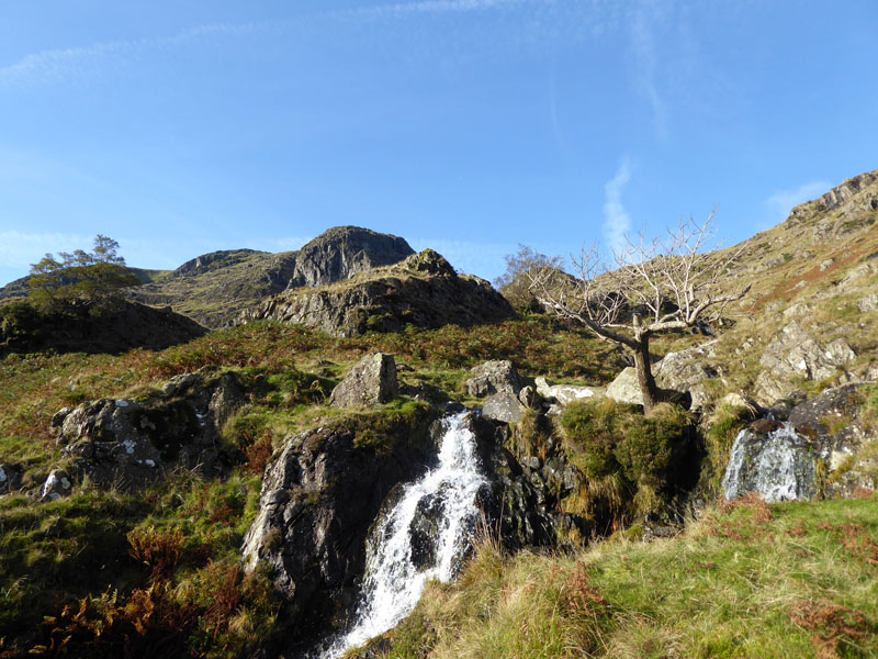
Waterfalls in Upper Dovedale
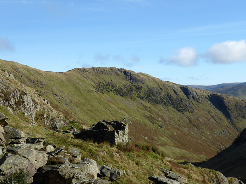
Miners' Hut
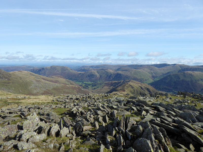
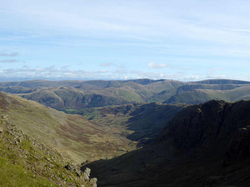
The remains of a (probably) unsuccesful mining venture, you can identify some blasted rock but little in the way of spoil heaps. Hartsop Above How is the lofty ridge over there.
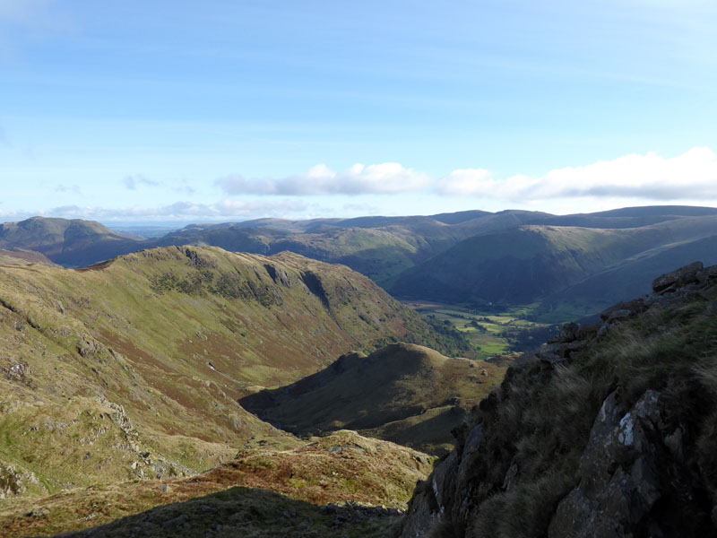
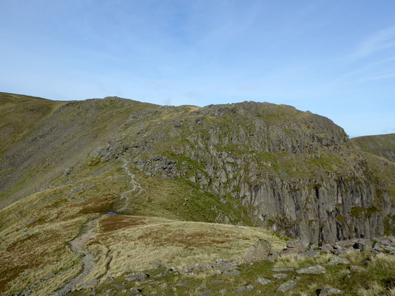
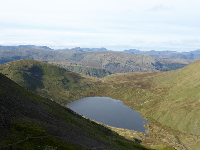
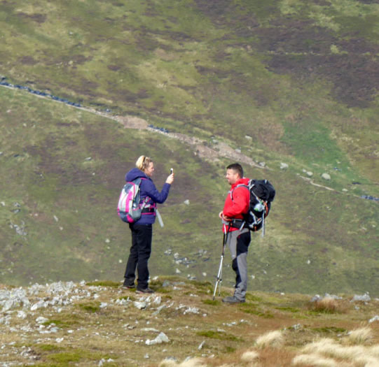
Looking back down the ascent route and we are on the way to Priest's Hole - natural cave high up above the main crag. Some folk stay overnight in the "Hole" and there have had to be clean-ups to rid the scene of rubbish. As usual, a few spoil it for the many. Danger lurks just in front of Priest's Hole, it's a 500ft drop to the valley below.
Hole View
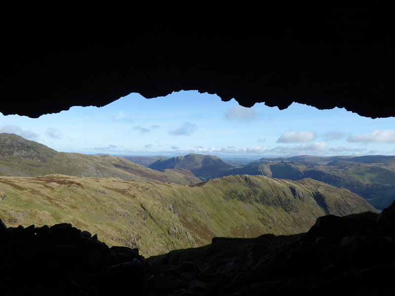
It was clean and the cave offers cover from the sky, but not a great deal of shelter from the cold and winds.
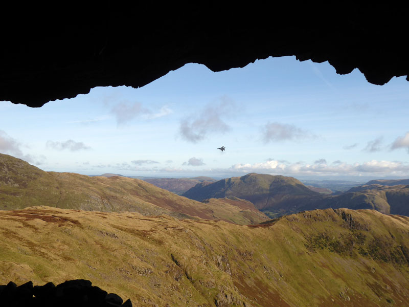
USAF F15 "Eagle"
As luck would have it, the camera was on and along came a pair of F15 jets. Here, one of them tilts the wing and heads up Dovedale. Whilst I could have tried a zoomed image, it suited me to keep the edge of the cave in the shot.
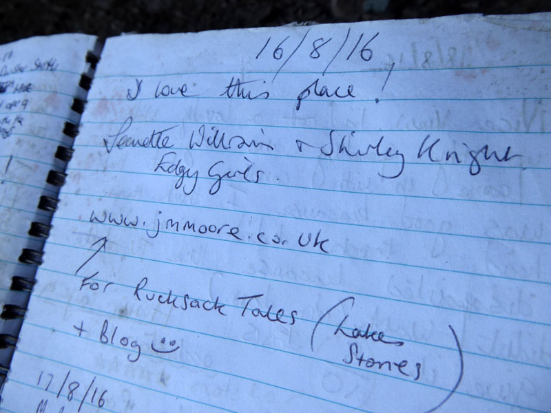
The Visitor Book
I've walked with Jeanette previously and she has written some short stories "Rucksack Tales".
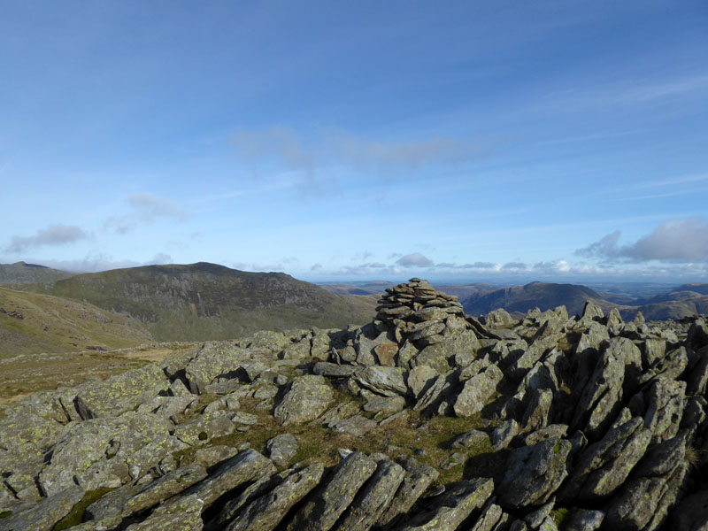
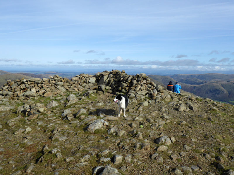
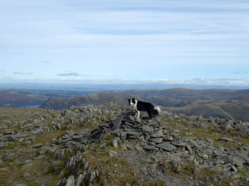
Dove Crag Summit 2,603ft asl
Well, this is the top of the crag territory. There is a spot of higher ground on the wall to the south of here, but it doesn't look as though it's part of the fell just climbed. Take your pick....
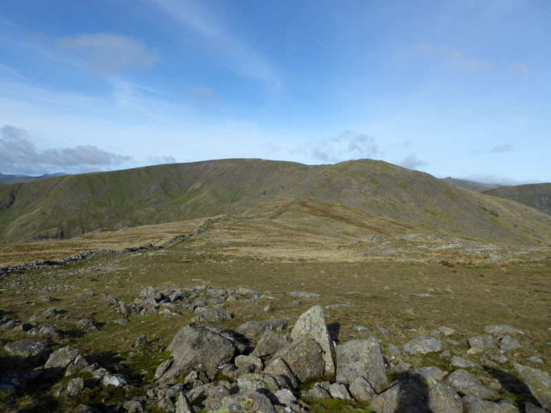
To Hart Crag
Time for tea and a biscuit. The route to Hart Crag follows the wall and presents little in the way of challenges.
Molly on top of Hart Crag 2,698ft asl
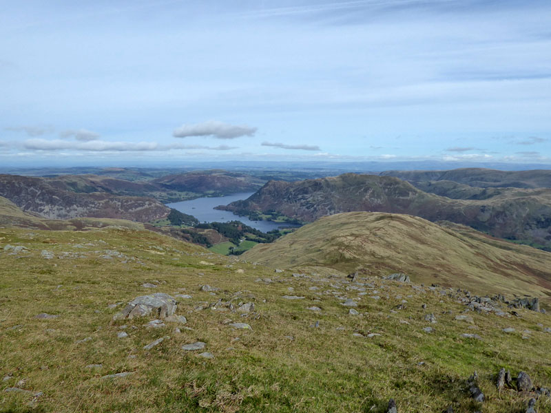
The view to the North-East from Hart Crag
Scrubby Crag
The walk to Fairfield is quite easy and well-defined. Fairfield summit is a dangerous place in mist - there are so many cairns on relatively flat terrain and then steep drops - take care.
Fairfield Summit 2,863ft asl
I can't get tired of reaching this summit plateau and now twice this year at a time when my Lakeland walks have been somewhat limited.
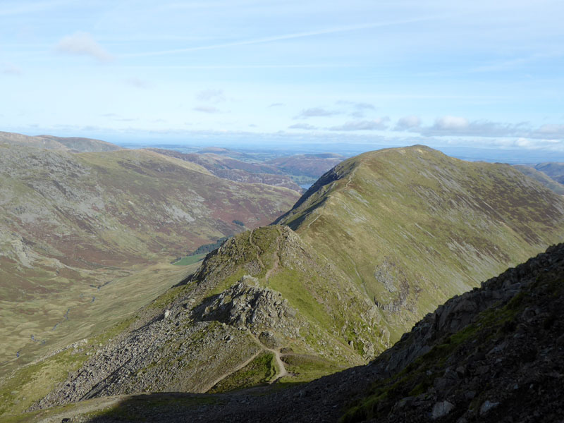
To St.Sunday Crag
After a little debate in my mind, I decided to go for St.Sunday Crag - the rejected options being the climb up to Dollywagon Pike and hence Helvellyn or the walk down Grisedale - the former a bit too much, the latter lacked ambition!
 |
 |
Grisedale Tarn |
Deepdale |
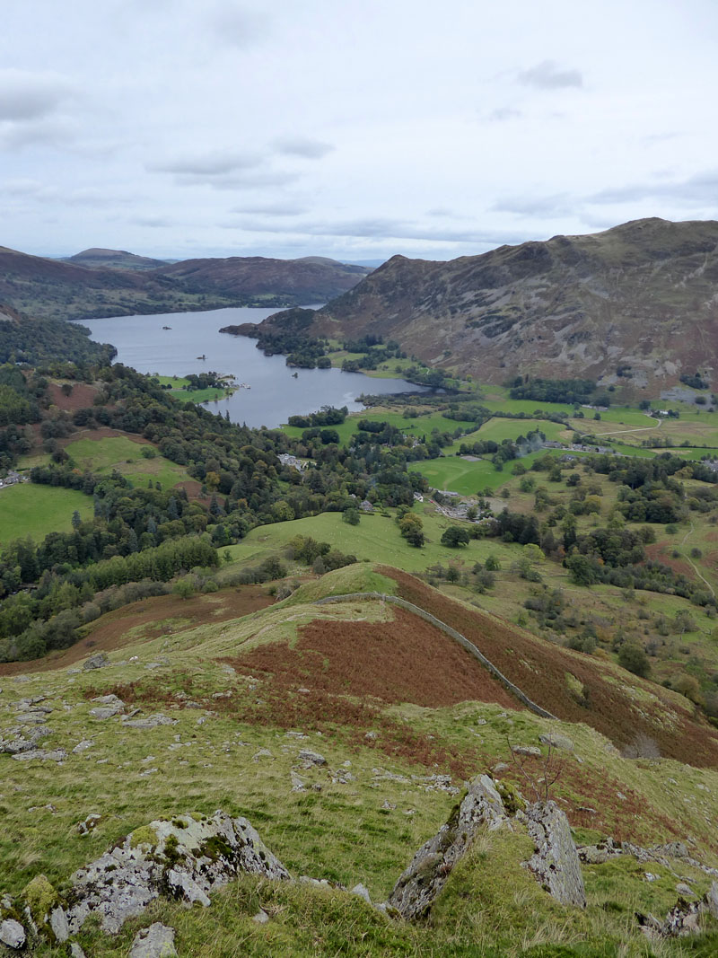
Back on 2nd January, Molly and I climbed St.Sunday Crag from Deepdale Bridge, so some of this retreads that route, but today we will head down over Birks.
Molly on Cofa Pike
What is there not to like about the view of St.Sunday Crag from Fairfield / Cofa Pike?
Molly on top of St.Sunday Crag 2,756ft asl
Ditto 2nd January 2017
Fellwalkers
claim your prize by sending in the photo you took!
To Birks
Descenders do not need to go over the summit of Birks - a separate path heads off to the left (north), but the paths meet again before Thornhow End - the steep bit.
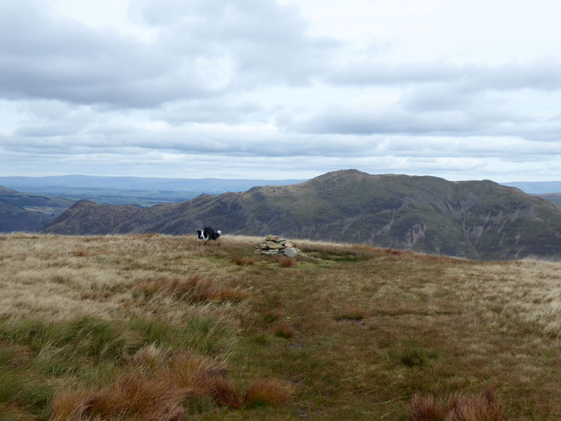
Molly on top of Birks 2,040ft asl
Perhaps Birks is important to you? I cannot find anything here to get excited about, it's a cheerless place.
Thornhow End
Quite steep in places, we had to double-back at one point due to the path leading us to an edge that I wasn't sure Molly wouldn't slip off and fall about 20ft - she is not too confident on rocks and decided to play it safe.
To Deepdale Bridge
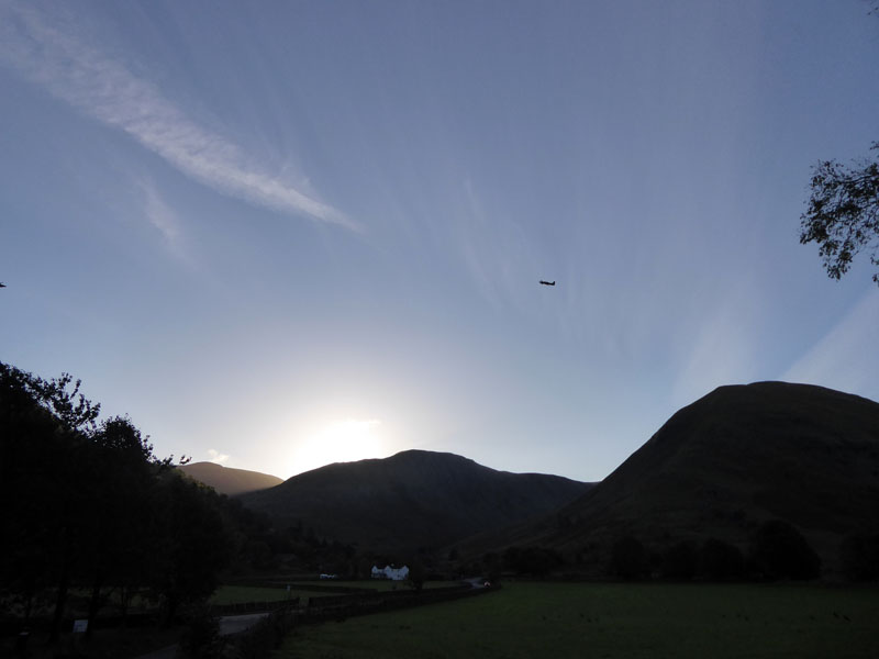
We walked to Patterdale Hotel and made our way across the river to Rooking and a quiet last 2 miles or so to Deepdale Bridge and then the permissive path under Low Wood and back to the car.
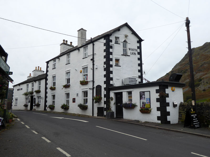
White Lion, Patterdale
After getting back to the car, we returned to Patterdale for tea.
Walkers: Molly and Me.
Time taken: 7hrs 20mins over a distance of about 12 miles.
Route: Cow Bridge, Brotherswater, woods above Dovedale, route below Stangs to Dove Crag (including Preist's Hole). Horseshoe route to Hart Crag and Fairfield. Cofa Pike, St.Sunday Crag and Birks on the way to Patterdale. Rooking, Crookabeck, Beckstones path to Deepdale Bridge and then the ugly, rough permissive path back to Cow Bridge.
Weather and conditions: Sunny and cool declining to greater cloud cover and a gentle breeze as the walk progressed.
Refreshments: The White Lion, Patterdale has changed hands recently. It serves food from noon to 21:00hrs and dogs are welcome. A convivial easy atmosphere at the time of my visit with prompt service and the refreshing pint of orangeade was just £1 - doubly refreshing!
Back at Cow Bridge car park, a lady asked me if I knew where Blea Tarn was. Yes, said I, it's in "the Langdales" which I considered accurate enough. "Are we nearly there?" asked madam. "No, it's the other side of Kirkstone Pass and then beyond Ambleside...." All the blame was placed on SatNav that told them to head this way. Eeeek! "Have you got a road atlas?" I asked "No". My final suggestion was to put The Old Dungeon Ghyll Hotel into the SatNav and then ask someone. I don't use SatNav, so don't know enough about this modern craziness.
All photos copyright Richard Ratcliffe 2017 ©
Take me back to the start ....