
~Dovestones etc.~
14th January 2017
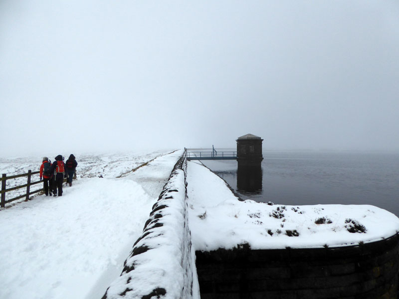
Chew Reservoir
Scroll down for photos and a description of the walk....
 |
 |
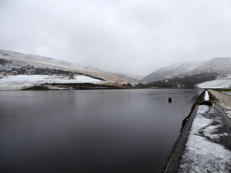
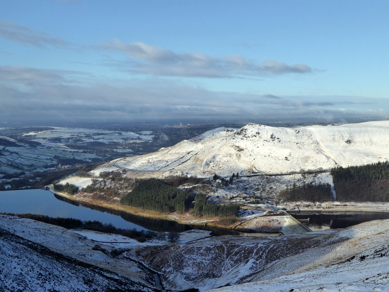
Dovestone Reservoir
Here is a walk, more than six years in the planning. Last time, with friends from the Fellwalking Club, we got blown all over the place and I said to organiser Simon (Howard) that I'd like to come back on a better day. So with the forecast promising day-long sunshine, little in the way of wind and no precipitation, I left home without my waterproof trousers and with a sense of optimism that nothing could possibly go wrong...
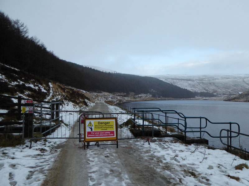
No Access!
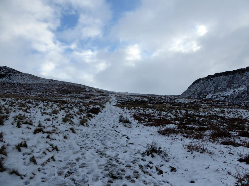
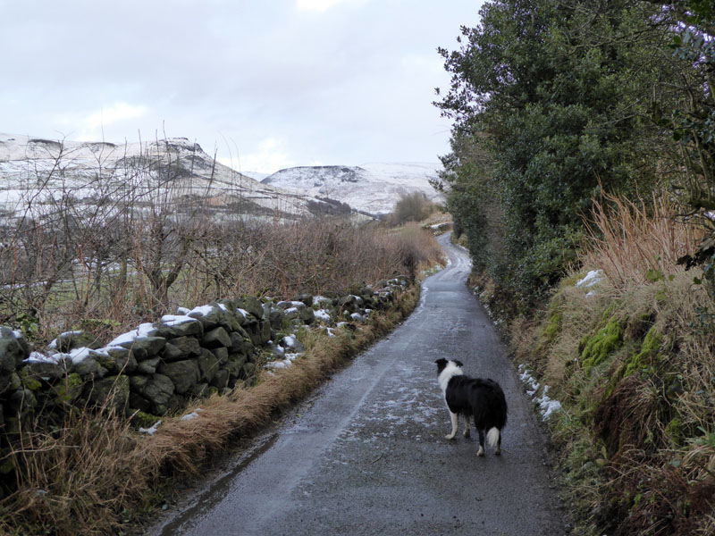
Start time: 0910hrs. The plan was to walk up past all three reservoirs in the valley, but the landowner has the right to close the path along Yeoman Hey Reservoir and has decided to do just that. A shooting party, apparently. Shooting who or what, I'm not sure. And, it's raining!
Ashway Gap
I took shelter under some trees and noticed brighter skies approaching from the east, so decided to take a chance on the day improving and headed up a path adjacent to Ashway Gap. Molly is with me and obviously spent nearly all the walk on the lead, because that's what the signs say, or did she?
 |
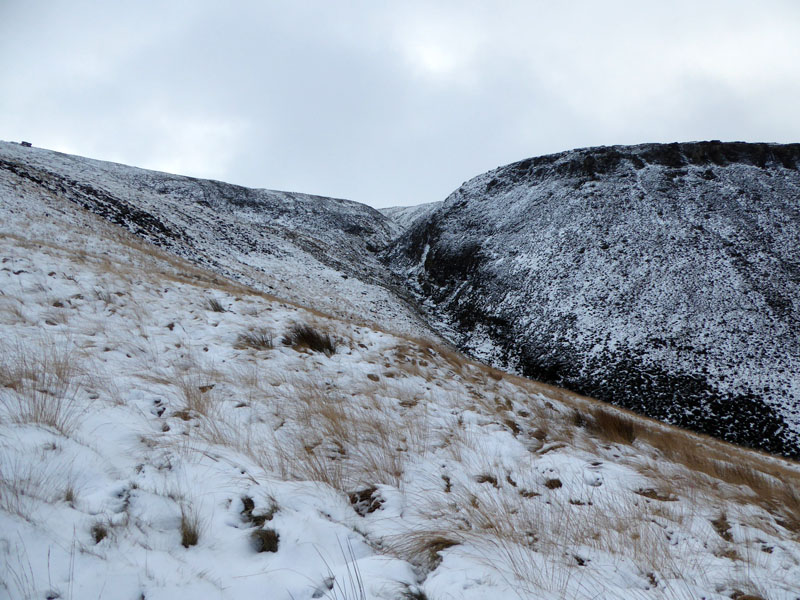 |
The slopes above Dovestone Reservoir to the south are shrouded in mist, but looking east up Ashway Gap the skies are brightening.
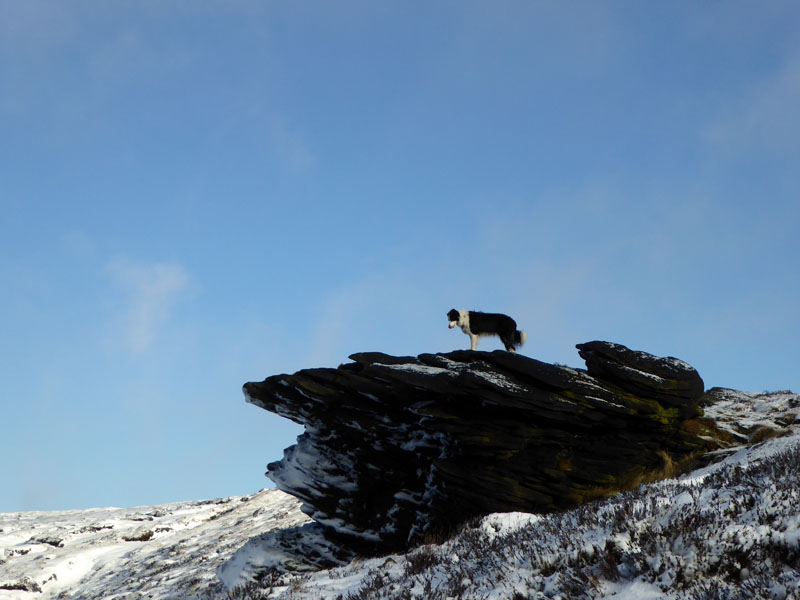
Ashway Stone
I allowed Molly to go and stand on the stone - this would make an ideal spot for a cup of tea...
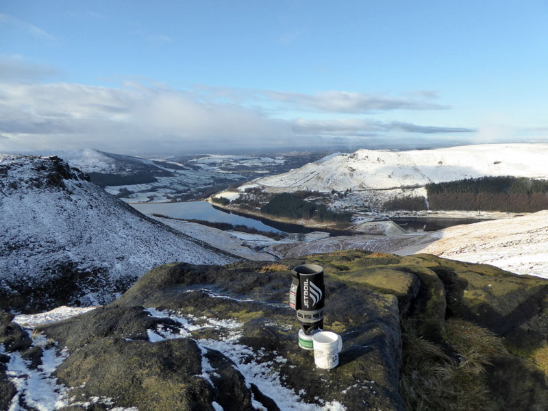
It's better than bringing a flask - as long as it is not too windy. Measure the water in the mug, pour into the JetBoil, it boils the exact amount of water in no time at all and there you have it, a mug of fresh tea. Remember tea bags, milk and a spoon..oh, and some water.
Alderman's Hill
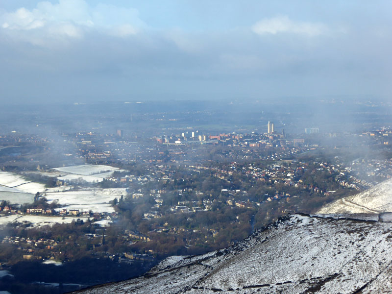
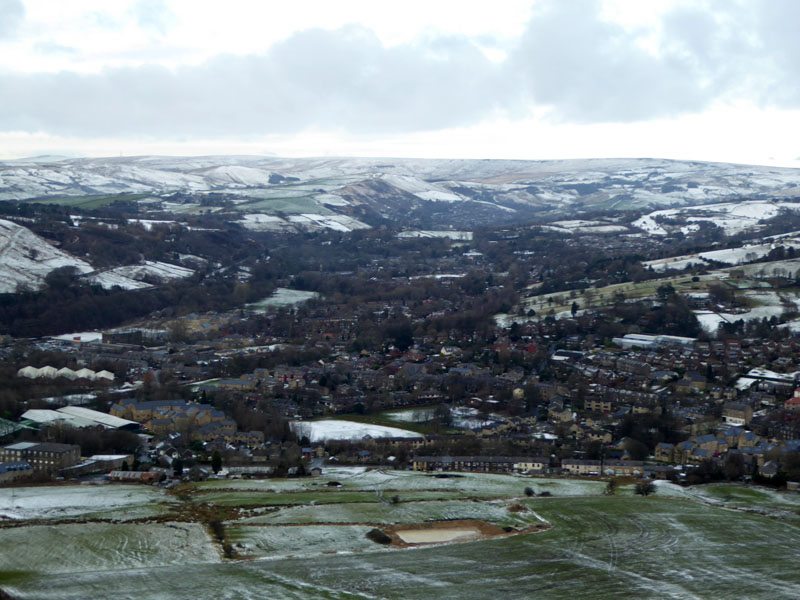
Oldham
I think the big town is Oldham and in the foreground, Mossley. But I stand to be corrected if I'm wrong on this matter.
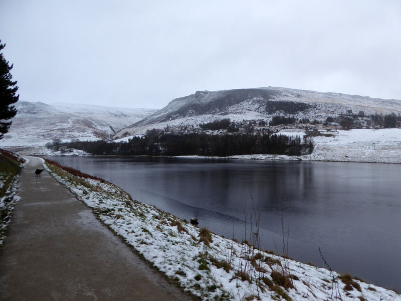
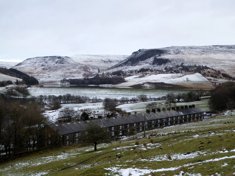
Dovestone Reservoir
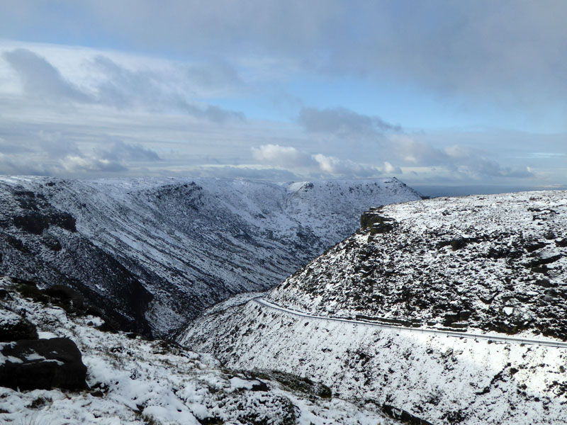
The walk along the edge of the hill above the reservoir is very rewarding in terms of the views. The ground is quite soft in places; my map shows a public footpath across Featherbed Moss to Chew Reservoir but there was no way of finding it in the snowy covered heather-clad terrain, so the peripheral route was the sensible choice.
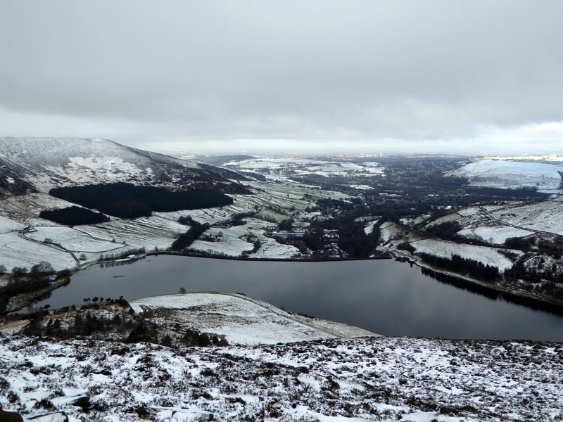
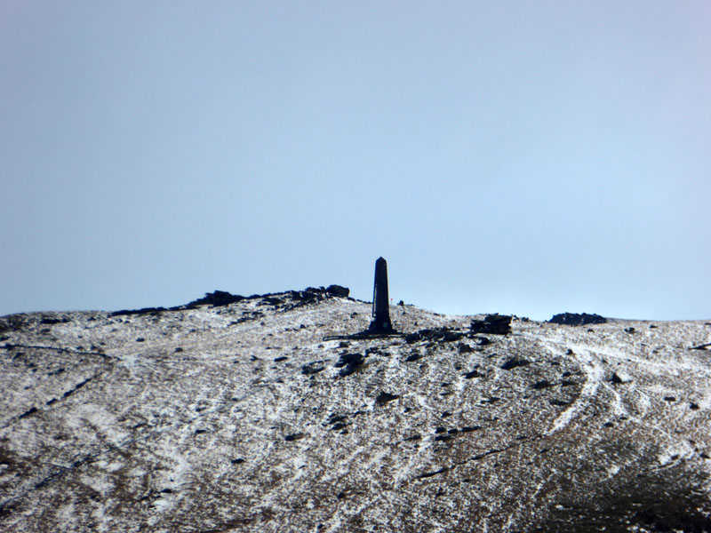
Chew Reservoir
Soon enough we arrived at Chew Reservoir and we are back in the mist. Chew feeds Dovestone and the former is 1,600ft above sea level. Time for tea and something to chew...
 |
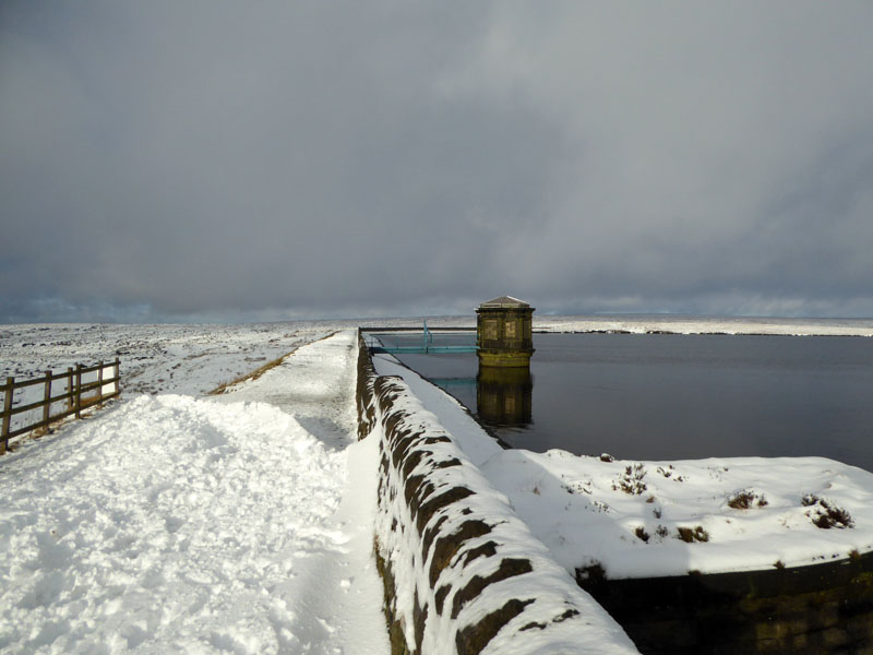 |
Before long, the cloud dispersed and the sunshine played its part in livening up the landscape.
Chew Road
I have placed a link at the foot of this page for more information about the area and its history.
Hoarstone Edge
We are about to walk the length of this "edge" to the summit of Alphin Pike.
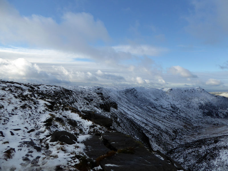
To Alphin Pike
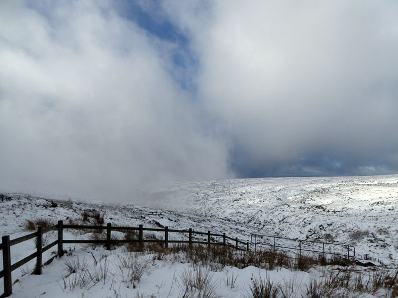
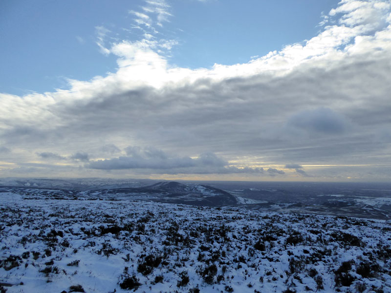
Once again denied direct sunshine by a bank of cloud in the west; this walk features many prominent rocky outcrops - certainly locally named, but not on the OS map.
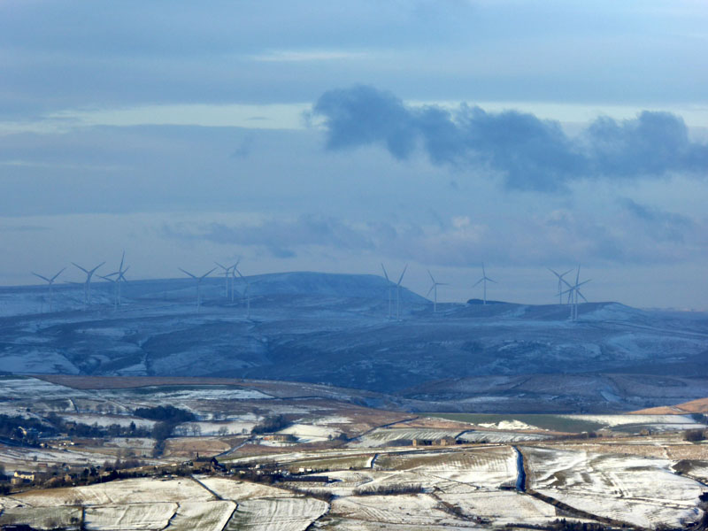
Pendle Hill
The sunlit hamlet with a church (bottom left) is that of Heights Farm and St.Thomas', Friarmere, near Delph. The windfarms are probably those of Scout Moor above Rossendale.
 |
 |
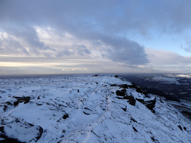
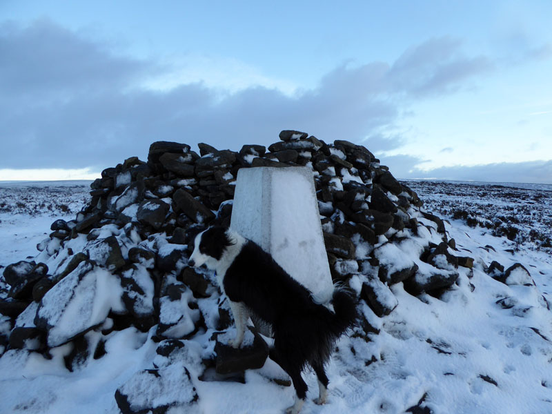
Molly at the cairn on Alphin Pike, 1,538ft asl and the view to the south-west. Plane spotters can enjoy watching aircraft approaching Manchester Airport and follow their descent all the way on to the tarmac (all being well).
 |
 |
We took a direct descent down Alphin Brow to Intake Lane. Greenfield (left) and the war memorial at "Pots & Pans"on the flank of Dick Hill.
Intake Lane
Hey Top
The row of cottages were once known as 40 Row as approx forty houses were occupied back-to-back. Nowadays it's more like 20 as they have been knocked through. They were built for workers at the local paper mill, now gone.
~~~
And back to the car at 15:30hrs.
Walkers: Molly The Dog and Me.
Route: Dovestone Reservoir, path up to Ashway Moss and Ashway Stone. Edge path on Dove Stone Moss to Chew Reservoir. Further edge path to Alphin Pike. Descent to "Oldham Way" and Intake Lane for a path to Hey Top and back to Dovestone Reservoir.
Weather: Dull and wet, improving to sunny intervals before mist and late brightness. Cool.
Time Taken: 6 hours 15 minutes over a distance of about 10 miles (?) - bit of guesswork there.
Dovestone Heritage the 1950 to 1900 section tells the story of the Chew Valley Tramway.
All photos copyright Richard Ratcliffe 2017 ©
Take me back to the start ....