
~Helvellyn from Swirls~
28th December 2017
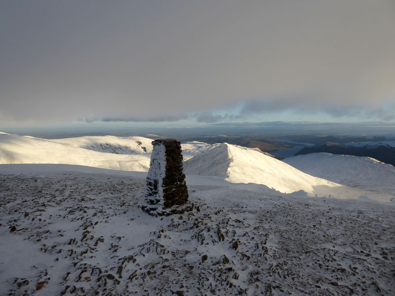
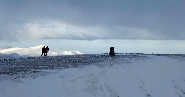
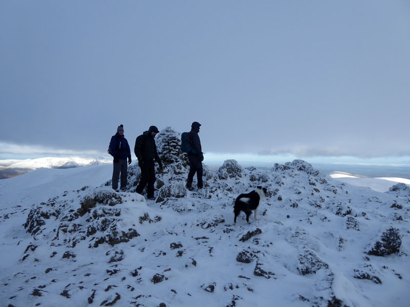
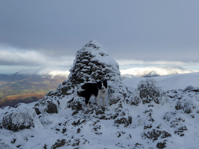
Helvellyn Trig Point
Scroll down for photos and a description of the walk....
 |
 |
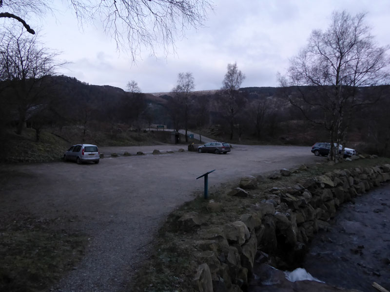
The walk started at 08:10hrs from Swirls Car Park on the side of the A591, next to Thirlmere. Helvellyn's proximity to this major route means that a walk up such allows you to get home for tea and get those curtains closed before it gets dark.
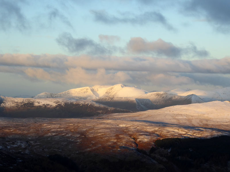
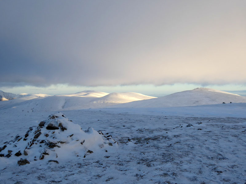
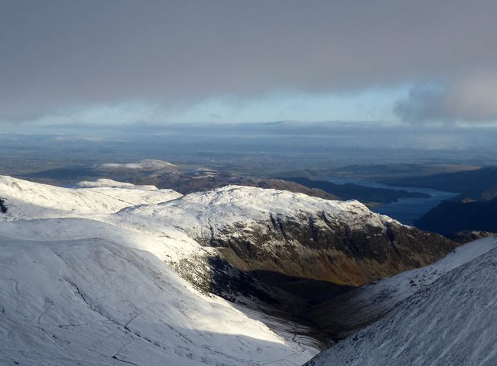
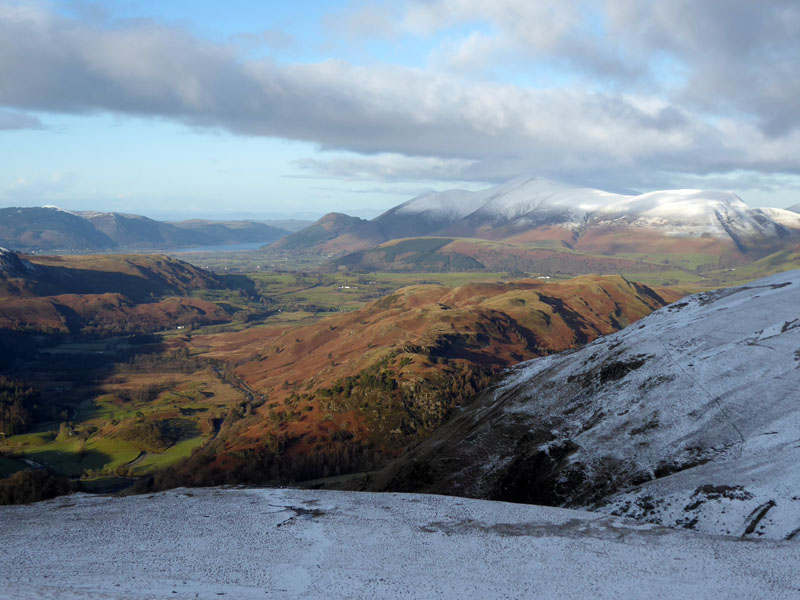
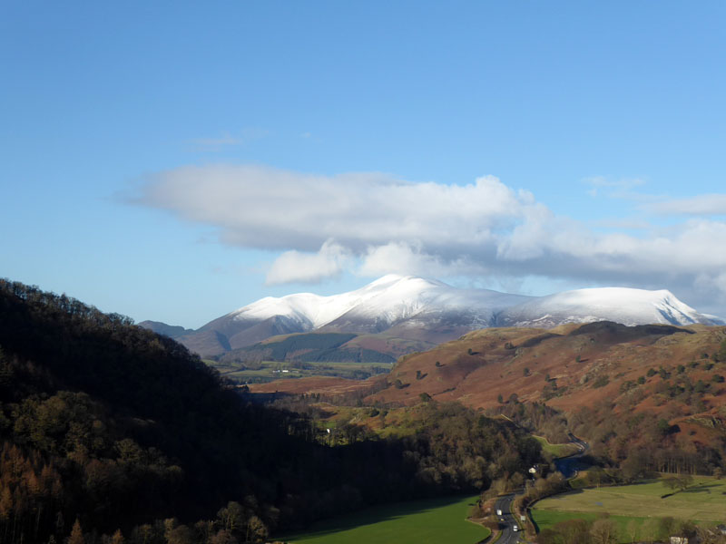
Skiddaw
For me, the forced time off work at Christmas is a drag unless the weather allows for some decent walking. Yesterday (Weds 27th) we walked up Pendle Hill to test our legs and get a feel for the effect of the prevailing chilly winds from a generally northerly direction.
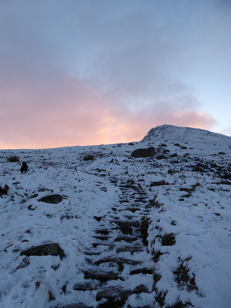
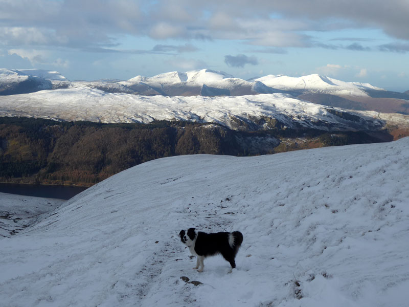
Ascent to Browncove Crags
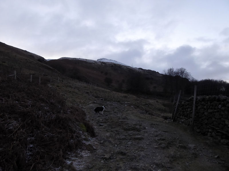
Almost all of the ascent route to Browncove Crags , as per Wainwright's Route 3 on his "Helvellyn Western Approaches" in Book One, is now repaired and makes for a safe and steady climb. I chose to put my grips on as the icy conditions took hold.
 |
 |
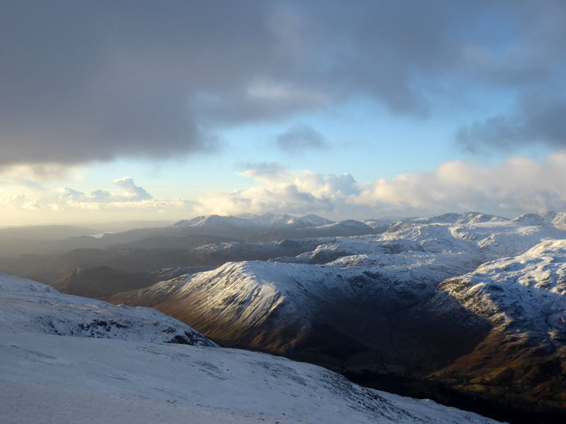
North-Western Fells |
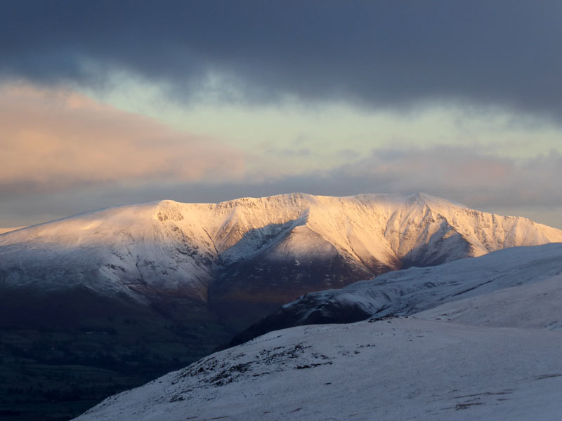
Blencathra |
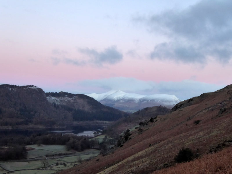
It's looking good on the other fells in view from the climb.
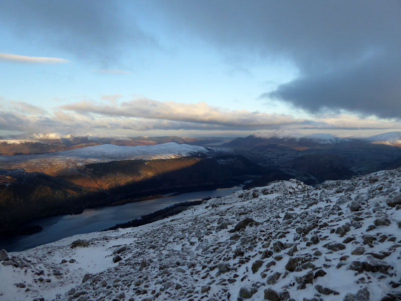
Bleaberry Fell
Some will only walk on the central ridge of Bleaberry Fell (seen here with its snow cap and a little sunlight) to Ullscarf if the ground is frozen or bone dry, it can be a boggy mess.
Snow on the Dodds
Steel Fell
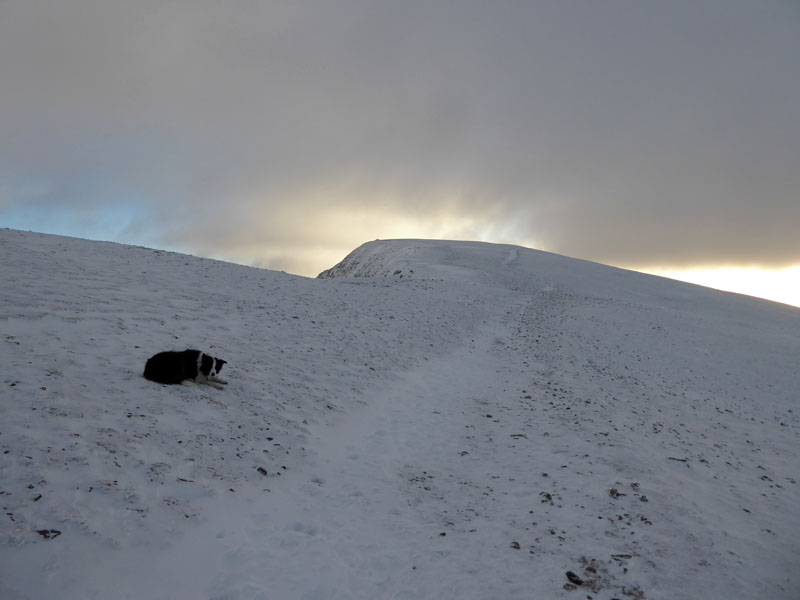
To Helvellyn Summit
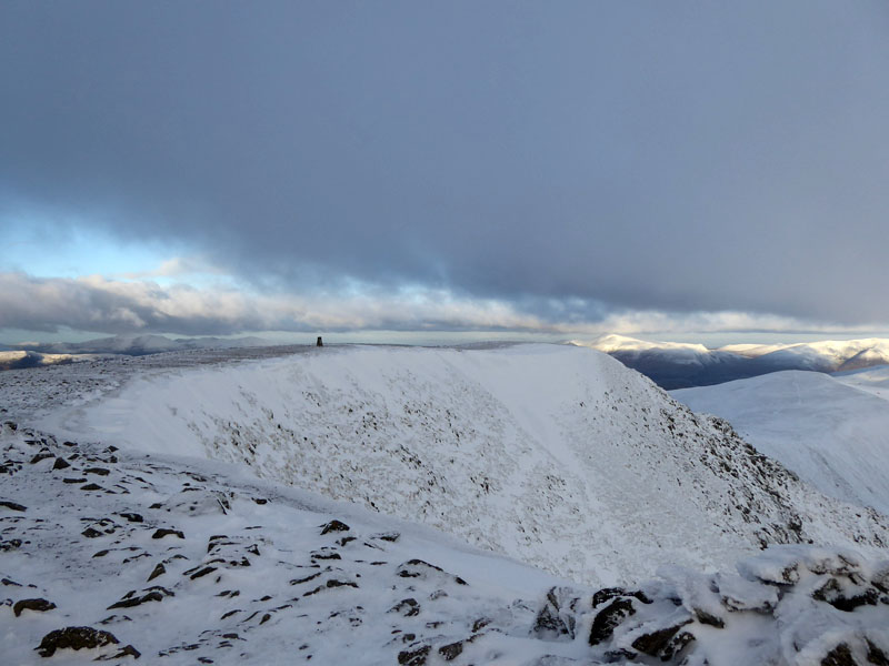
An easy finish to the climb with plenty of ball chasing for Molly, great views but what's with this cloud that seems to have positioned itself over the fell?
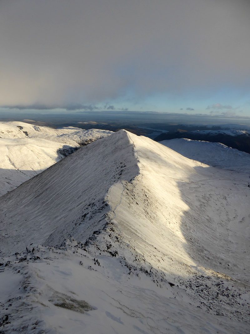
Catstycam
Swirral Edge and Catstycam.
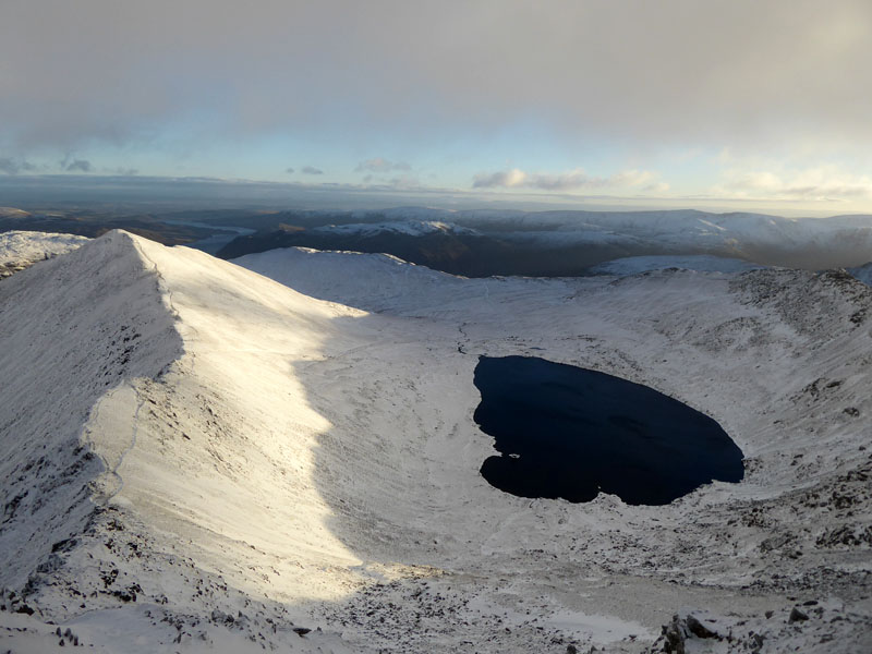
Red Tarn
It's a bit obsessive, I suppose, but I wanted to climb Helvellyn before the end of this year to keep a run going which extends back to 2005 and during such time, I've been to the top of this fellwalkers' mecca at least once each year.
 |
 |
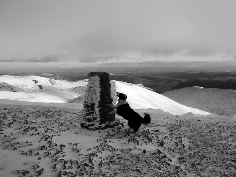
The Trig Point |
Trig Point from The Summit 3,118ft asl |
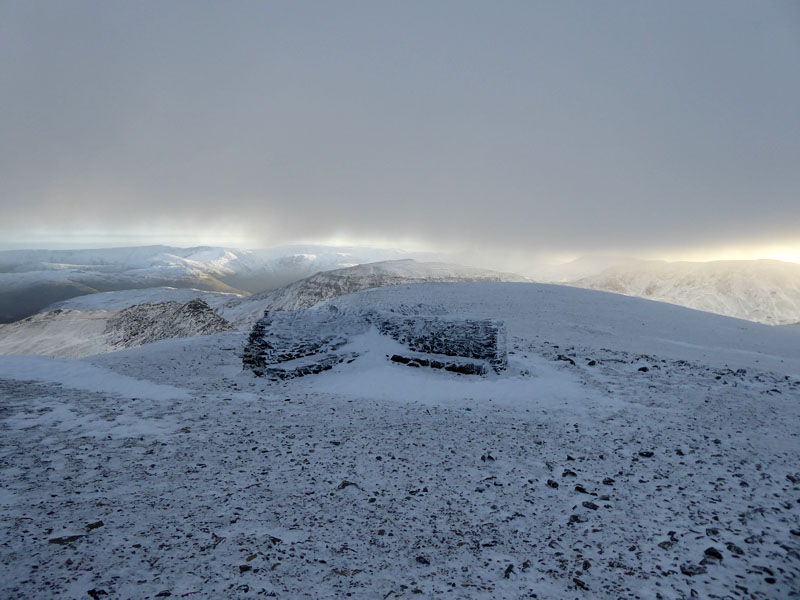
The Shelter
We took shelter in the one quarter out of the breeze but it was a mistake to sit and make a brew as my hands were frozen by the time the water had boiled and the food shared between me and Molly. The Mountain Weather forecast had warned of the wind-chill taking the temperature down to -13 and whilst I don't have the technology to measure such, I do know when it's bloody freezing!
~~~
Sheffield Pike
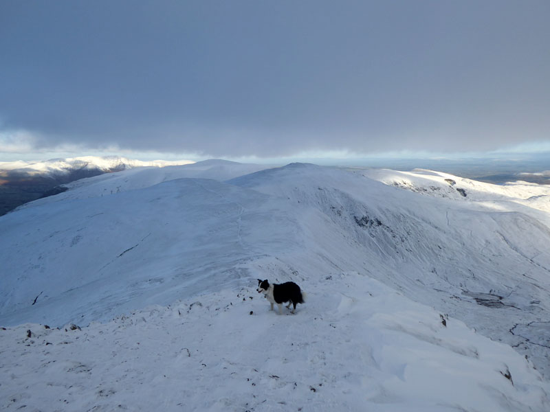
To White Side & Raise
To the north and down the slopes of Helvellyn Lower Man to the appropriately named White Side. Happy Molly loves the snow!
White Side Summit 2,832ft asl
Still got our cloud!
 |
 |
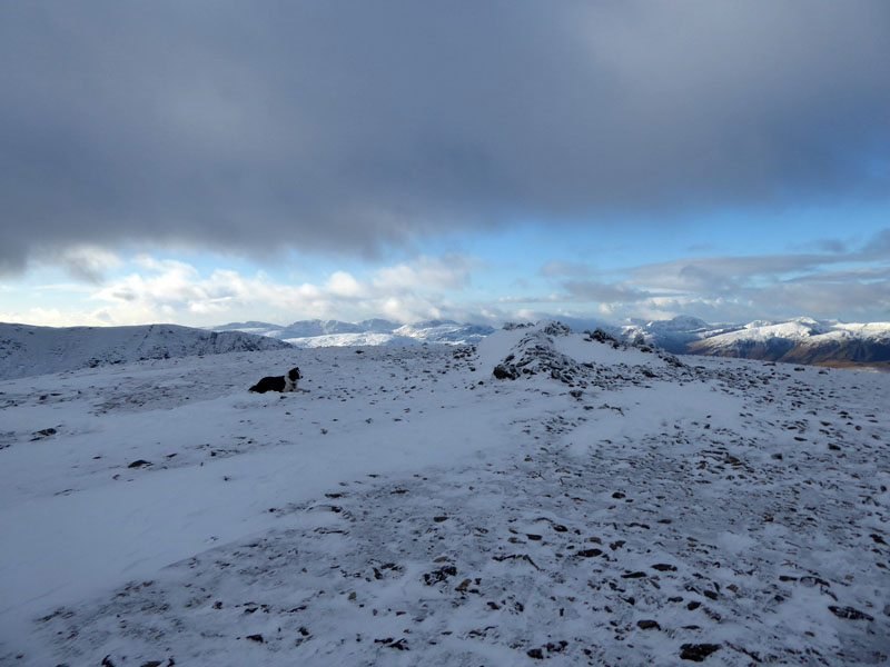
Raise Summit 2,889ft asl
Sticks Pass
From Raise, it's down to Sticks Pass and a simple left turn puts walkers on the ancient Sticks Pass joining the valley hamlet of Legburthwaite with Glenridding on the eastern side. Maybe we should have walked in the North-Western fells today...Molly is offering her opinion!
High Rigg
All the muddy bits on Sticks Pass are frozen today.

~~~
From the foot of Sticks Pass, we walked along the flank of the fells close to the wall and across many gills and becks, some bridged.
Skiddaw
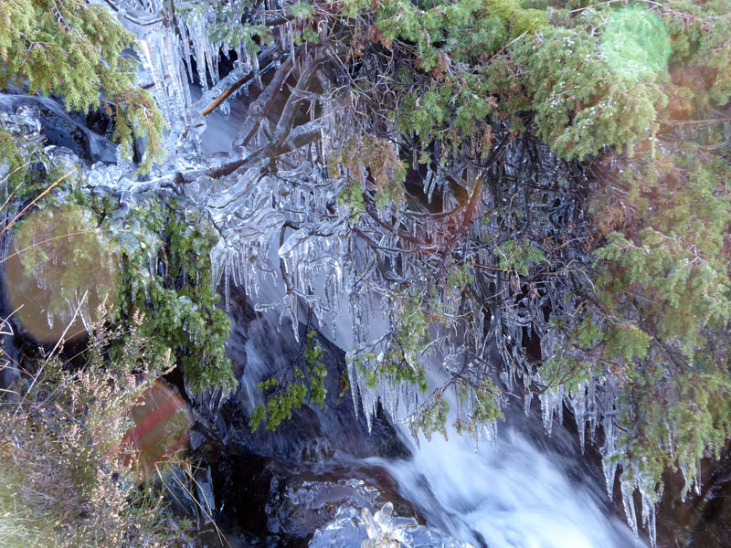
Icicles
Splash from the cascade has landed on the tree and frozen.
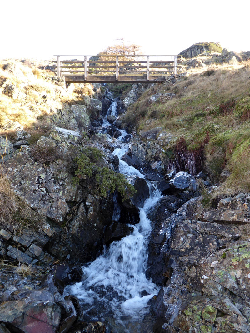
A Bridge Too Far
Molly could not be persuaded to cross the bridge, even though I reckon we've done so at least twice previously. Her fear was to do with the view through the side to the drop below. So, we climbed down and crossed the beck, slipping on black ice and risking injury and wet feet.
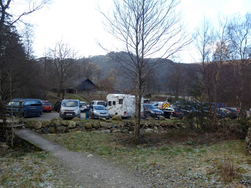
Swirls Car Park
The car park was quite full and the roadside lay-by's were also well populated. As I drove back to Grasmere, I realised how popular Lakeland was today and sacked the plan for tea and cake at Baldrys. All lay-bys and car parks appeared full on the way to Ambleside and this town was very busy. Get out, quick! There was also a very long line of traffic trying to get into the Lakes from the south, I fear some visitors wouldn't get in before it was time to get out. FYI 2hrs 6mins home at an average speed of 35mph, how dull.
Walkers: Molly and Me
Time taken: 5hrs over a distance of about 7.5 miles.
Route: Swirls Car Park, direct route to Helvellyn over Browncove Crags, Summit, Lower Man, White Side, Raise, Sticks Pass, Stannah, easy route back to Swirls along the flank of the fells.
Weather and conditions: Cold, overcast (but only on our walk, not anywhere else!), severe wind-chill. Great to be up there and not where I am just now, but hopefully not when you read this.
All photos copyright Richard Ratcliffe 2017 ©
Take me back to the start ....