
~Fremington Edge~
1st April 2017
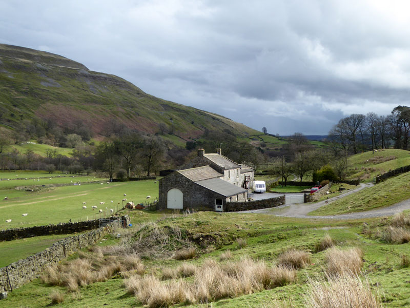
West Raw Croft Farm
Scroll down for photos and a description of the walk....
 |
 |
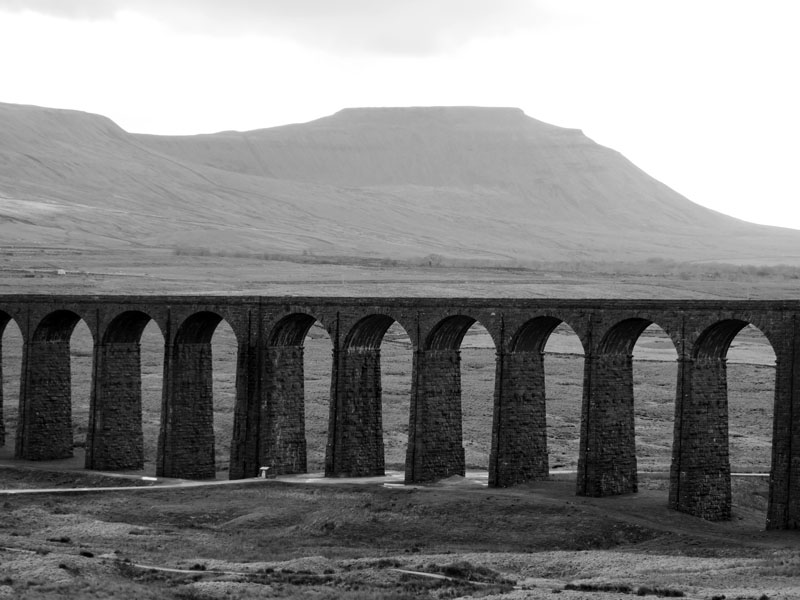
Ribblehead Viaduct |
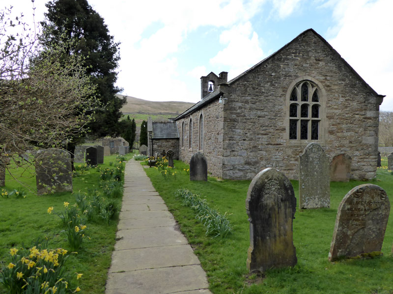
St.Mary's Church, Outhgill |
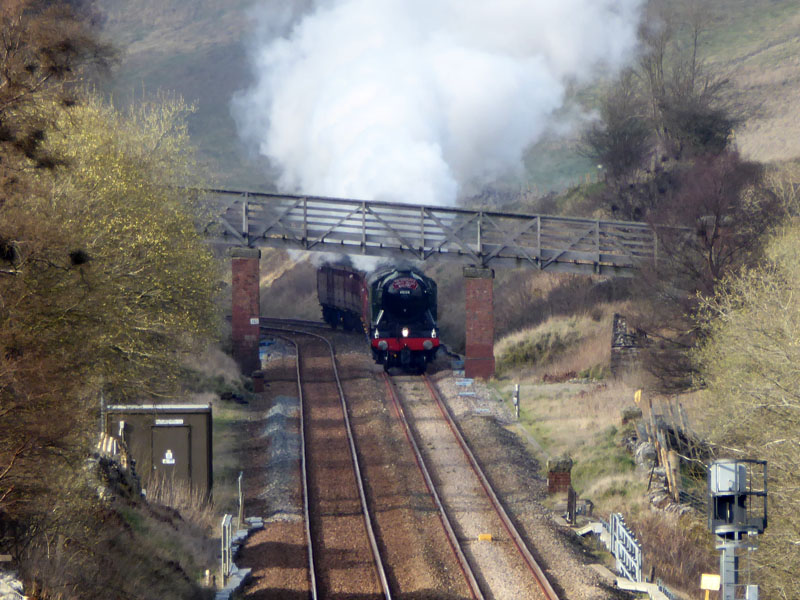
On 31st March, the Settle/Carlisle line officially reopens after the major repair work following a landslip at Eden Brows resultant from the excessive rainfall of winter 2015/16. The "Flying Scotsman" has been recruited to haul a train from Oxenhope (Worth Valley Railway) to Carlisle. I planned to see the engine in Mallerstang on her southbound return.
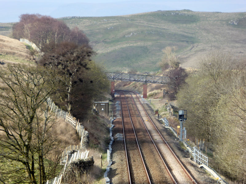
The view is from a bridge above the hamlet of Outhgill in Mallerstang. The plan involved finding somewhere remote to avoid the crowds and a twenty minute uphill walk in the middle of nowhere usually thins the numbers, today was no exception. I got there with plenty of time to spare and was subsequently joined by a local man from the village.
~~~
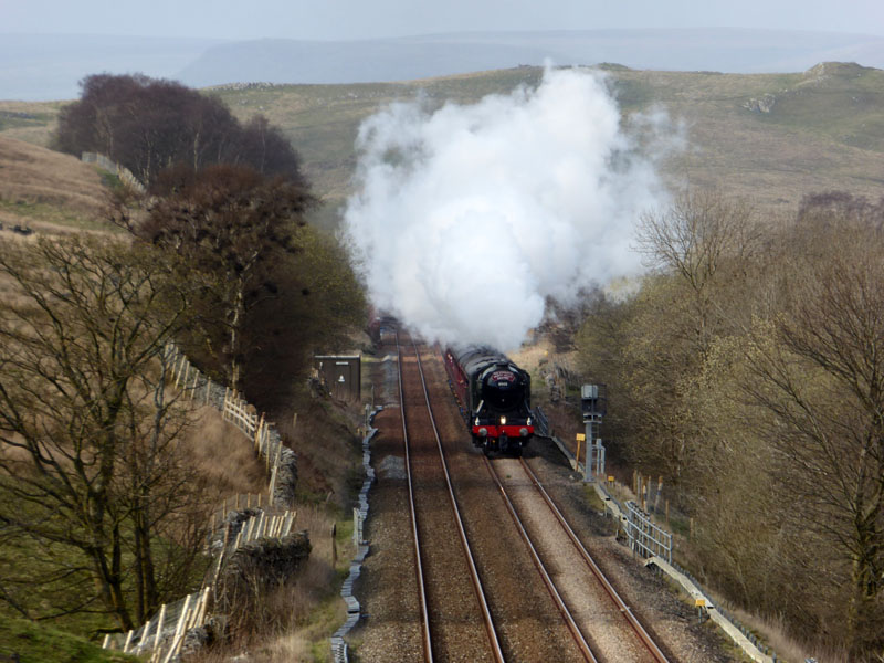
LNER A3 Class 4-6-2 no 60103 Flying Scotsman
I saw scores of cars and photographers at Aisgill, just a few miles away, this is worth the extra effort. And so to Usher Gap Campsite in Muker, Swaledale for a two night stay, starting this season's camping adventures.
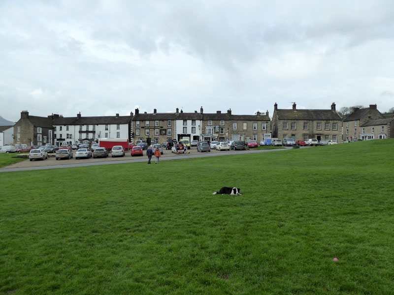
Reeth
Saturday morning and I am meeting Jo for a walk up to Fremington Edge starting from Reeth in North Yorkshire, 20 minutes from Muker.
 |
 |
Dales Trail Runners |
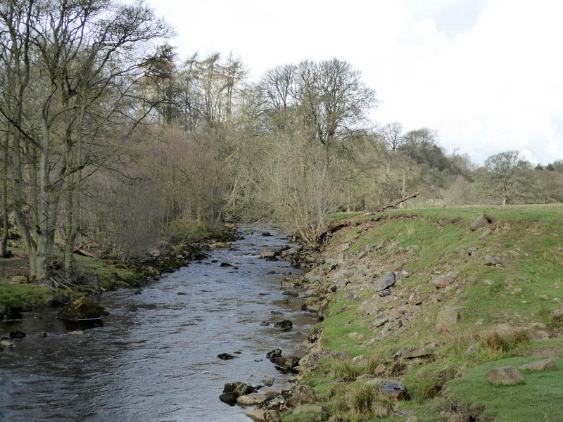
Arkle Beck |
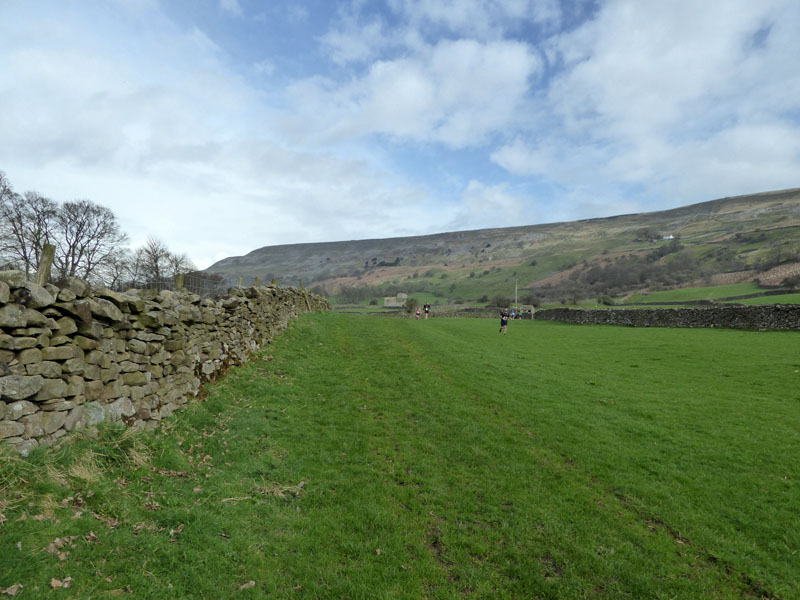
Hundreds of runners were preparing to take part in a Dales Trail run, just what those wishing to enjoy a quiet walk love to see - not! The route takes a footpath from Reeth Bridge up Arkle Beck and joins a bridleway. Our plan was to walk under Fremington Edge and return along the lofty edge.
Molly and Castle Farm in Arkengarthdale
The skies are darkening and an earlier forecast had warned of the possibility of thunderstorms! Hmmm...
~~~
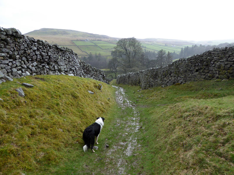
Soon after this photograph, we stopped for refreshments and then cautiously started the ascent of Fremington Edge. But there were flashes of lightening and rumbles of thunder followed by heavy rain, so we aborted the ascent and took a bearing for Langthwaite where, if nothing else, there is a pub and shelter.
 |
 |
The wet lane photo was taken one hour after the pre-storm one, maybe that gives some idea of the duration of the stormy weather - possibly about 30/40 minutes, but we couldn't have known how long it was going to last, so we had to aim for lower ground. Storthwaite Hall (right) is passed en route to Langthwaite.
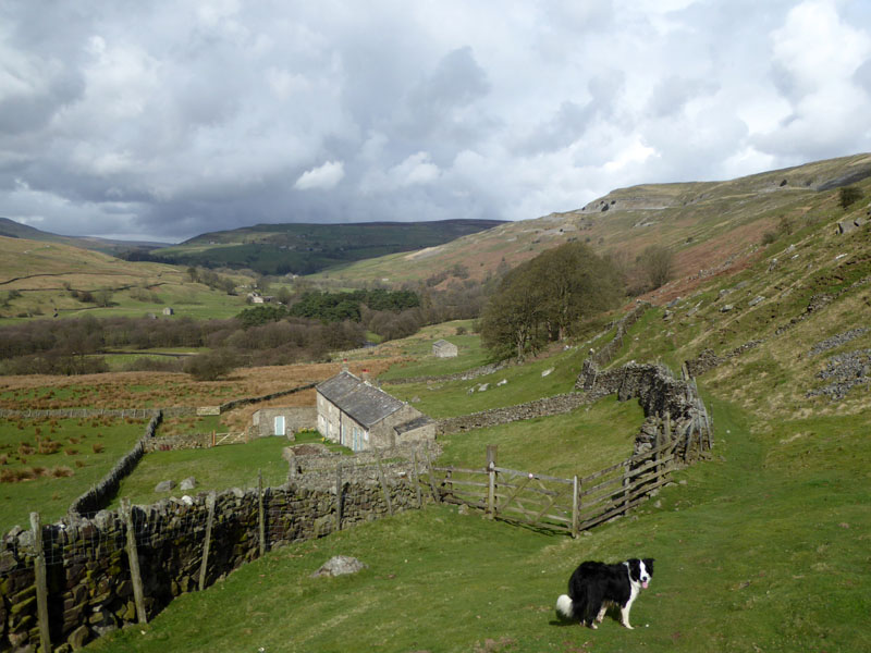
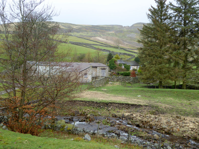
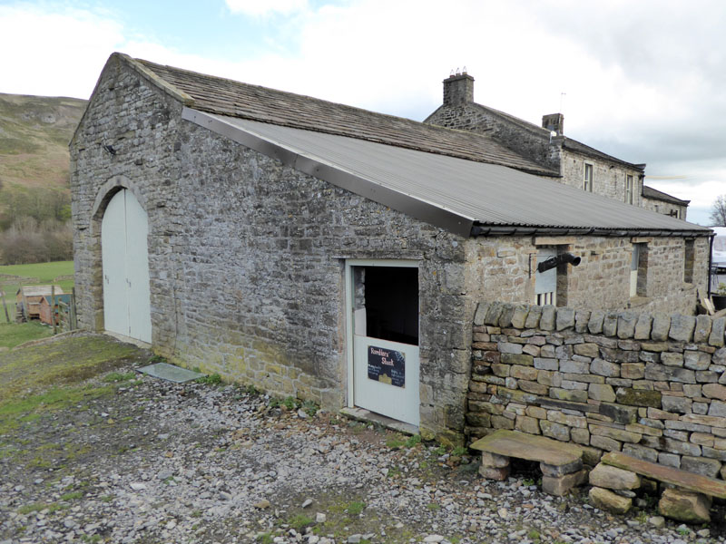
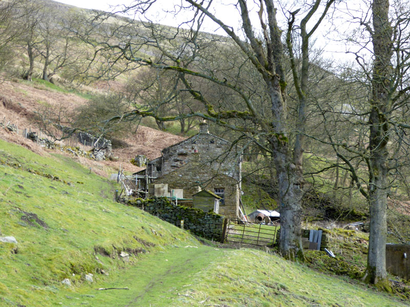
West Raw Croft Farm
In the event, we didn't reach Langthwaite and instead headed along the other side of the valley back towards Reeth - knowing that we could yet again head back up the hillside as there are a couple of bridges to facilitate such. Here, at West Raw Croft Farm, the owners have set up a little refreshment opportunity to the right of the barn.
 |
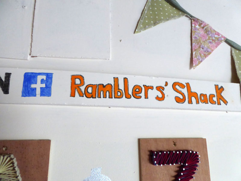 |
Ramblers' Shack
Zoe and Amy have set it up very nicely. There is a kettle and a choice of teabags, coffee etc. There are crisps and biscuits and a fridge with cold drinks therein. A table with chairs and a lamp plus maps to peruse or borrow; dog treats and a bin. Donations are invited and are surely given by all visitors who partake. It's great!!
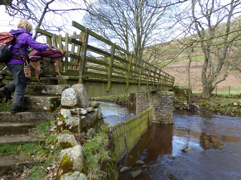
River Crossing
Heggs House
From the river crossing just north of the farm, we took a feint track up to Heggs House. Such seems uninhabited and almost unaccessible, very remote you might say. Above Heggs House is a fairly direct and steep ascent to Fremington Edge.
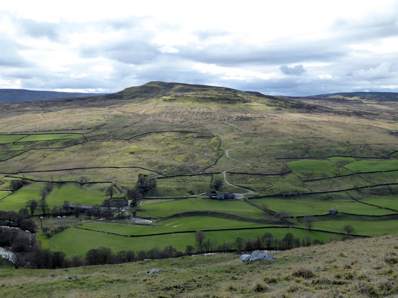
Calver Hill
 |
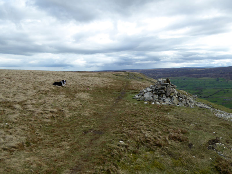 |
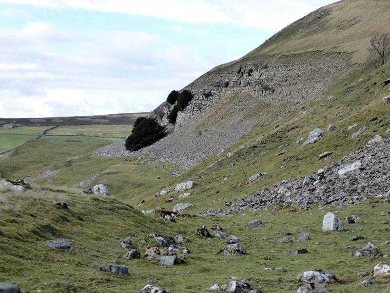
The Edge |
Molly on top of Fremington Edge |
The pile of stones will do as a summit cairn, even if there is higher ground nearby.
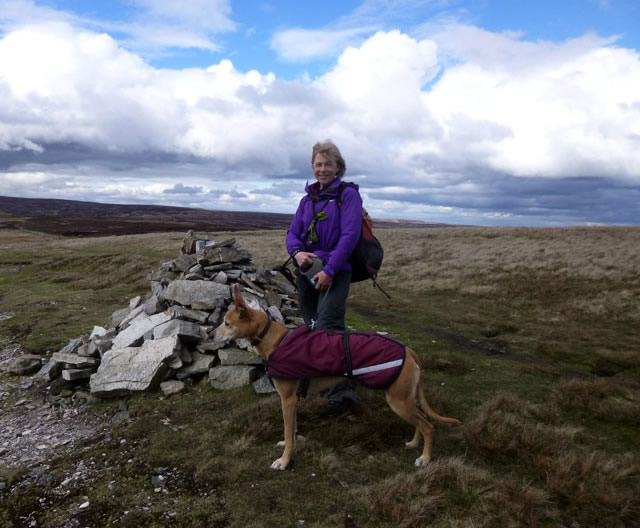
Jo and Amber
Fremington Edge
 |
 |
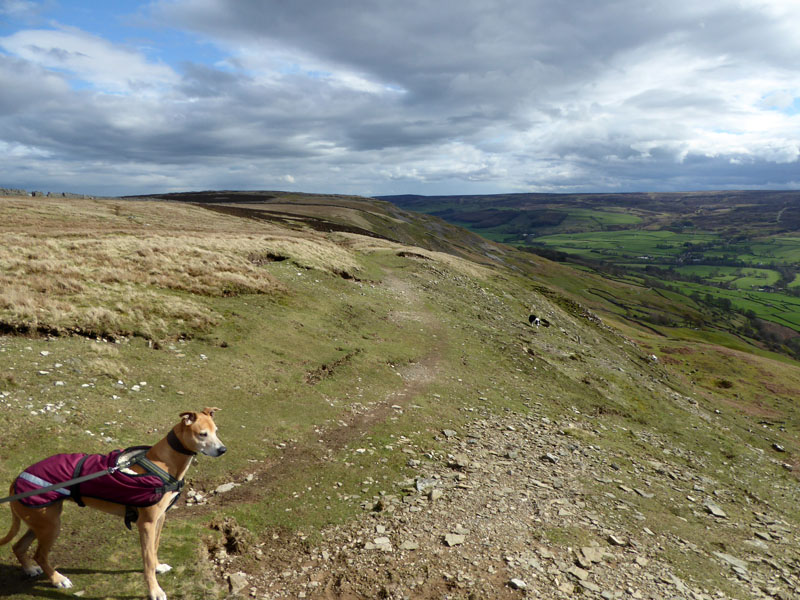
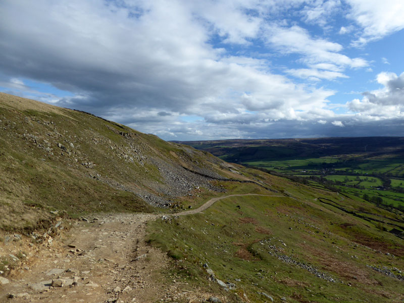
Descent Route |
Sunshine on Reeth |
It is poosible to continue along the edge for some distance, but we were ready to head back down the hill to Reeth. Swaledale and Arkengarthdale are wonderful places, I could walk 500 miles around here and maybe 500 more; the Sunshine on Reeth is a fine sight, we're on our way....
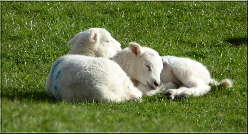
Lambs
and so back to Reeth to find somewhere for us to eat.
.JPG)
The Buck Hotel
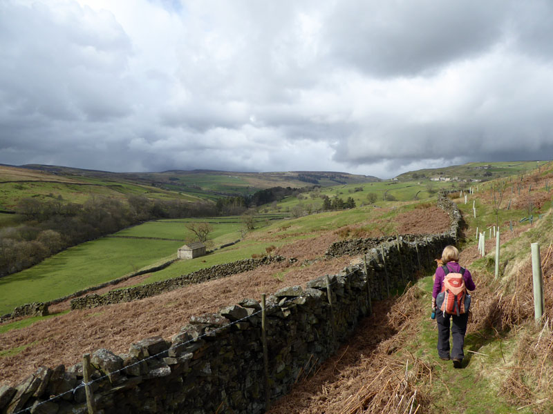
The Buck is dog and people friendly and had reservation boards on most tables, which is useful and allows for others to sit and eat as long as service is prompt, which it was. On the way back to Muker, I took a narrow road on the other side of the valley.
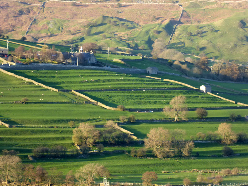
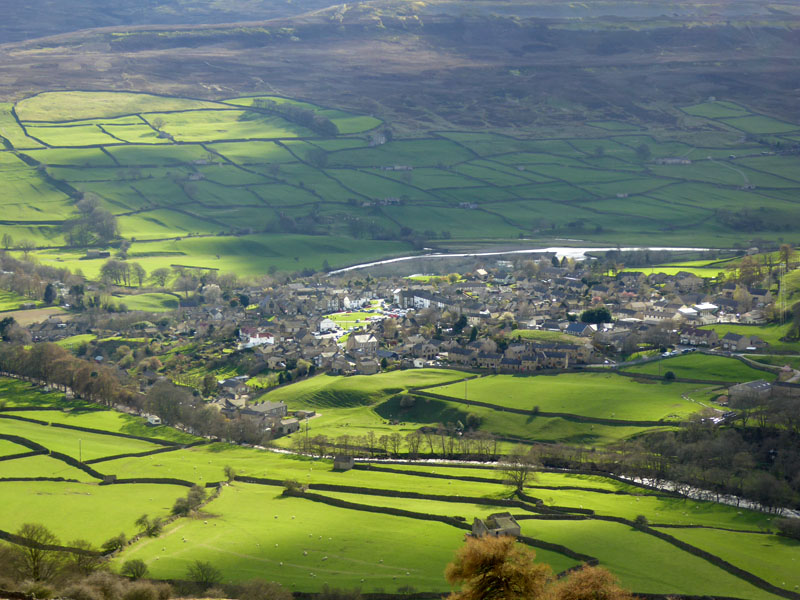
Cultivation Terrace, Reeth
The terraces date back many centuries and the drystone walls came later. This is why I like maps so much; you see a feature on a map, it can be intriguing and encourage a closer look.
Walkers: Jo and Amber, Molly and Me.
Refreshment Review(s): The Ramblers' Shack is a great place for a mid-walk break. The Buck Hotel's menu and main course meals are fine, but their desserts are surprisingly small, sufficiently so for the waitress to agree. Dogs welcome in both places.
Route: as described...
Weather: Warm and sunny, then the thunderstorm and subsequently cooler and clearer.
Time Taken: 7 hours over a distance of about 9 miles. Usual easy going dales walking.
All photos copyright Richard Ratcliffe 2017 ©
Take me back to the start ....