
~Langthwaite Circular~
17th September 2016
Another Day in Paradise!
Scroll down for photos and a description of the walk....
 |
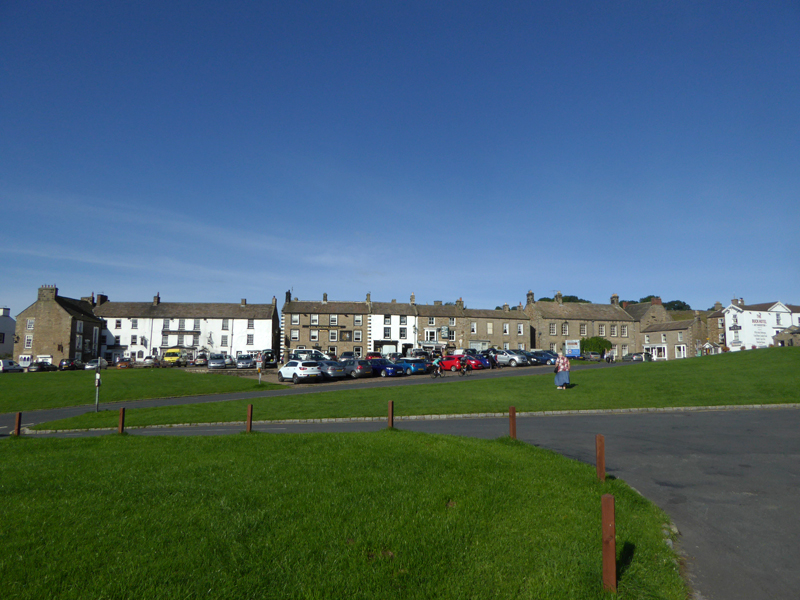 |
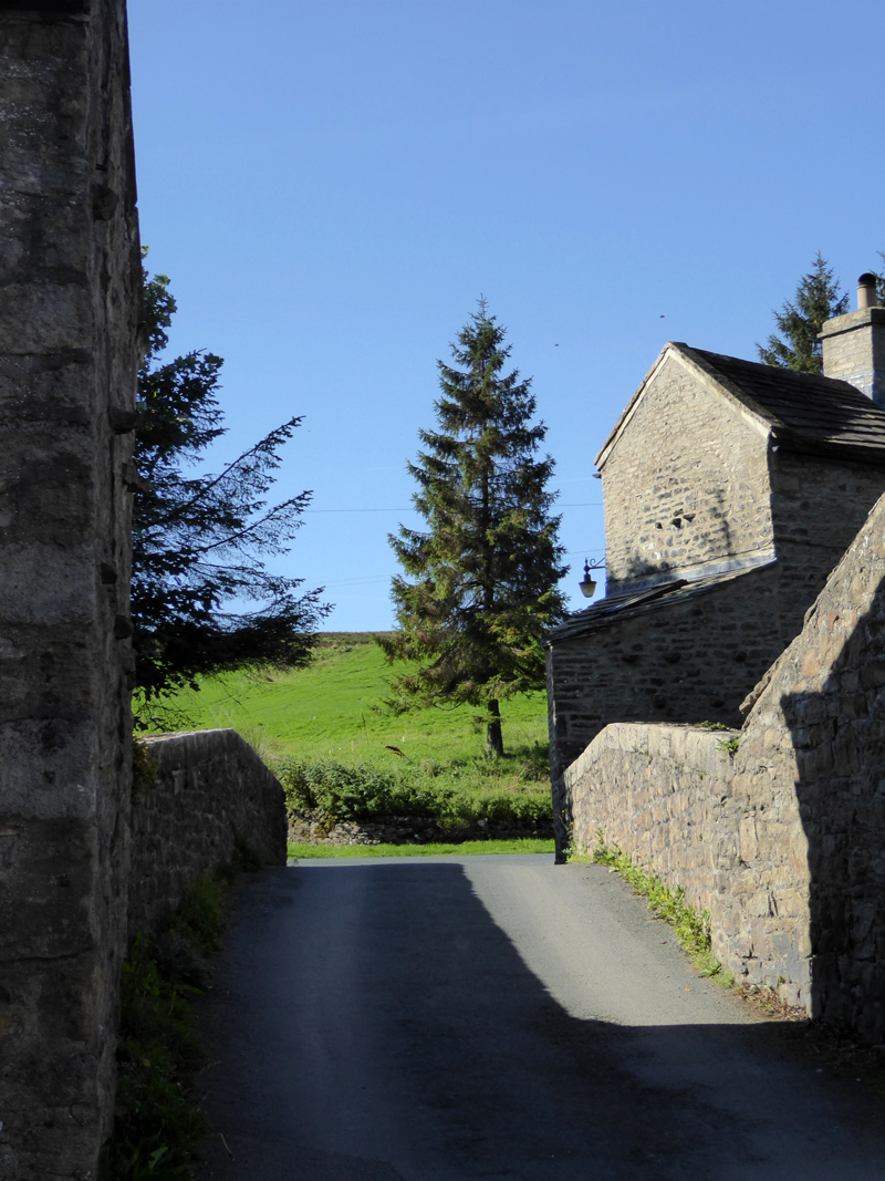
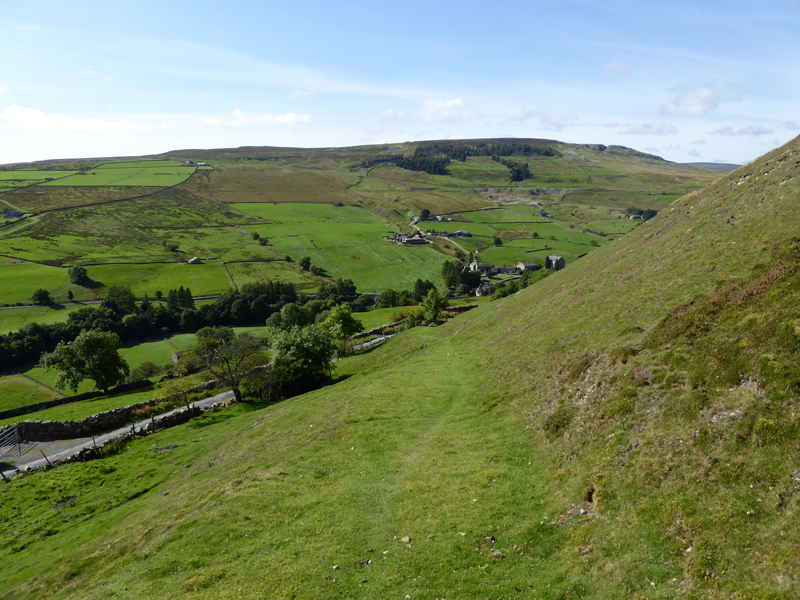
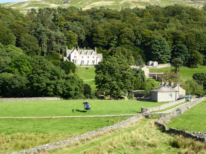
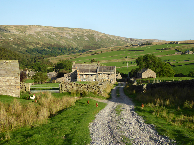
The tent was pitched at Usha Gap, Muker. Super September continues and we are lucky to have clear skies at the start of a weekend based in Swaledale, North Yorkshire. This Saturday walk would start and finish at Langthwaite, close to Reeth (photo, above right).
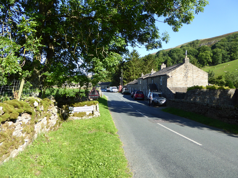
Langthwaite
A walk route was chosen from suggestions on t'internet. "Leaden Arkengarthdale" was found on the AA website and a link will be shown later. Jo and Amber couldn't resist this one and they join me for the 8 mile walk.
This bridge was used in the opening scenes for episodes of "All Creatures Great and Small" - taken from the other side with a vintage car crossing over.
Langthwaite, Arkengarthdale
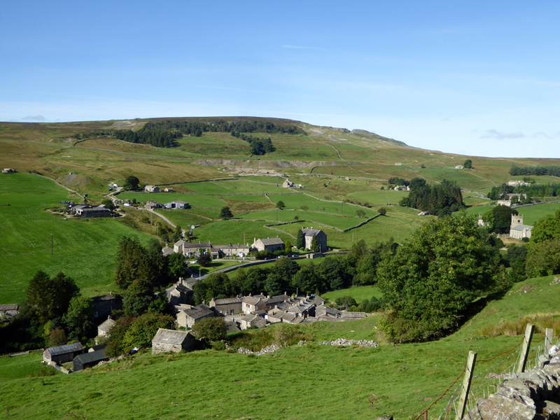
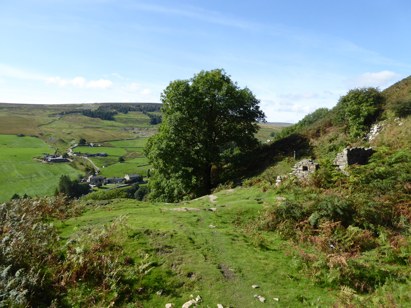
We are heading for the small hamlet of Booze and take this look back at Langthwaite.
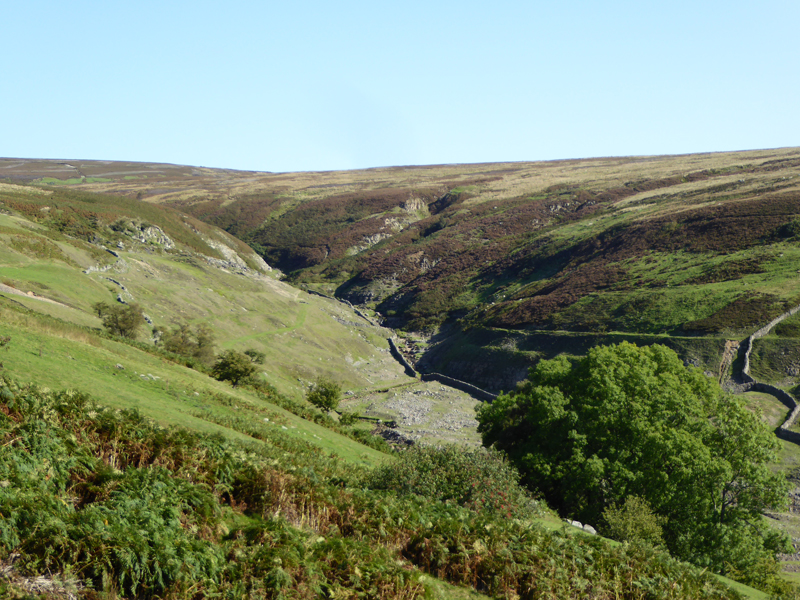
Booze and across the way is Fremington Edge with evidence of abandoned lead mine workings.
Booze
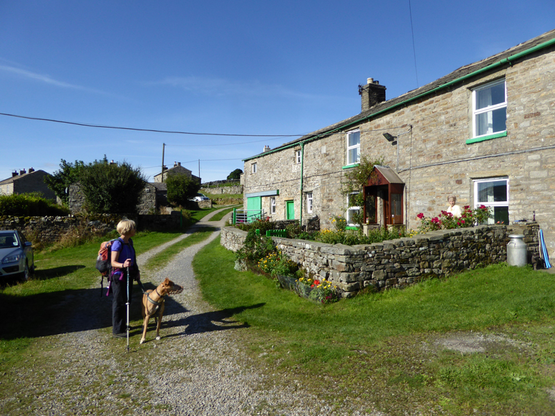
The lady in the garden has lived at this farm cottage all her life, or so the conversation suggested. Even extra-special habitats like this must become ordinary after such a long time - that's why it is far better to live in ordinary towns and enthuse about spending weekends in extra-special places - well that's how I see it!
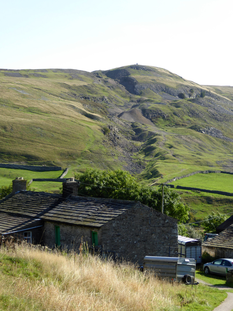
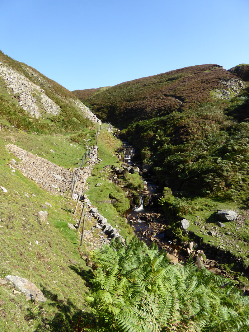
Slei Gill
~~~
 |
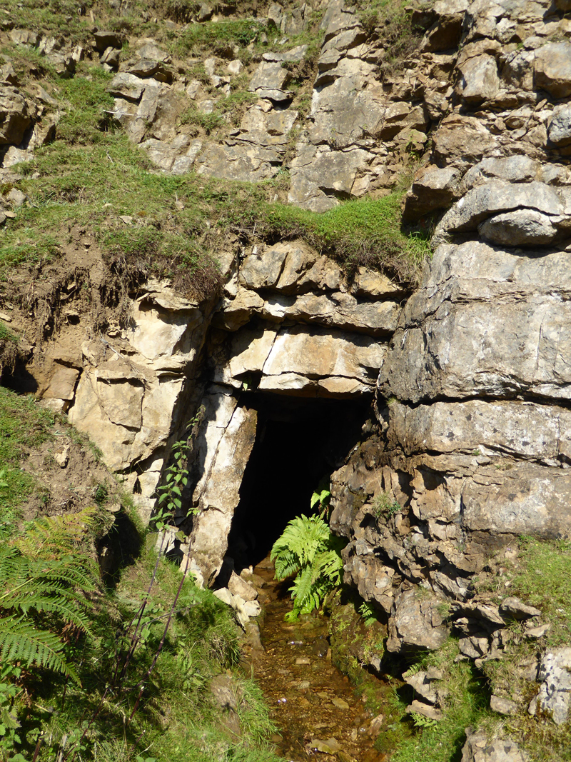 |
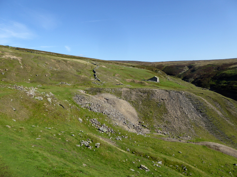
Slei Gill is an interesting place with one level / adit still in evidence. Such is flooded and only a fool or an experienced explorer should progress along the tunnel.
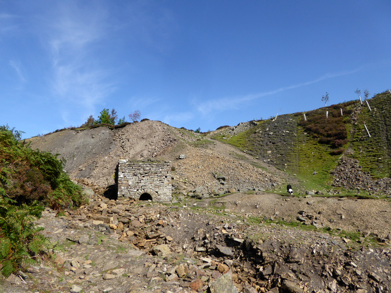
Washy Green Mine Waterwheel Pit
I am indebited to "Happy Hiker's" website for more information on some of the features seen on this walk. John Kelly's website is linked from my "Links" page. Our walk goes up to the right of this feature and follows moorland paths.
 |
 |
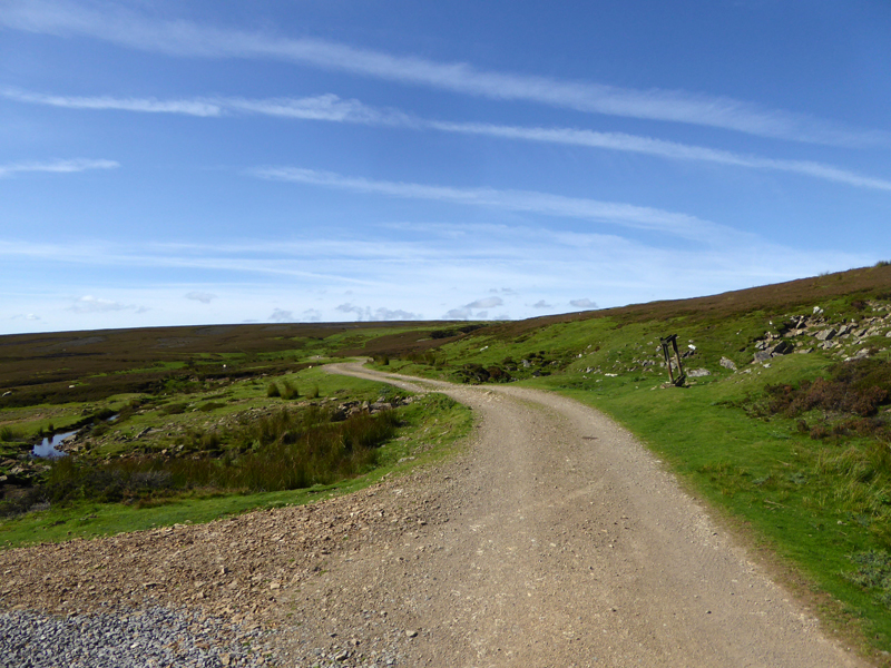
Moorland Road |
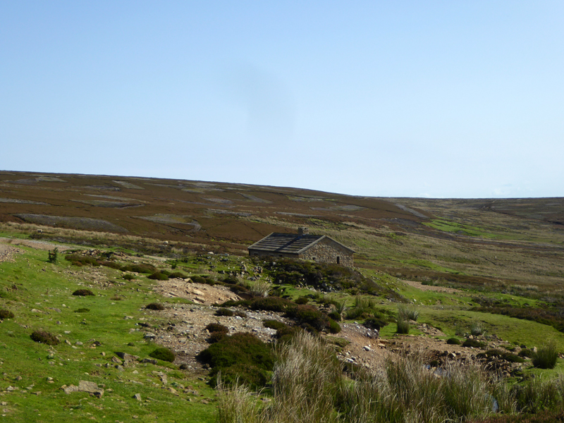
Shooters' Hut |
At the hut our route abrubtly turned west for Low Moor.

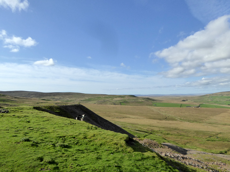
Molly on Low Moor
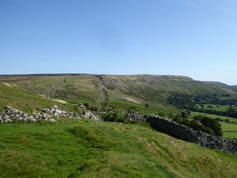
Fremington Edge
I blame the author of the AA's walk guide completely for a navigational error hereabouts! When we found ourselves overlooking Langthwaite from close hand, it was obvious that we were geographically misplaced. Never, ever, ever print a map with north anywhere other than upwards to the top of the page!!
 |
 |
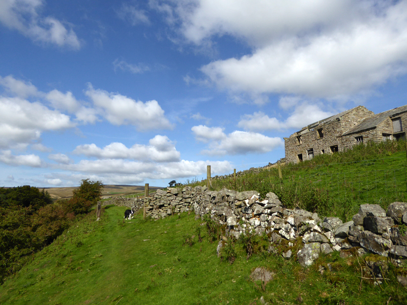
Booze Common
Very pleasant amble along the terrace of Booze Common, even if we shouldn't have been here.
Windegg Lane
This remedial route to rejoin the intended path was generally fine, but two stiles necessitated the dogs to be gathered up and lifted over. The shortest path to Scar House was not taken due to the field being populated by cattle.
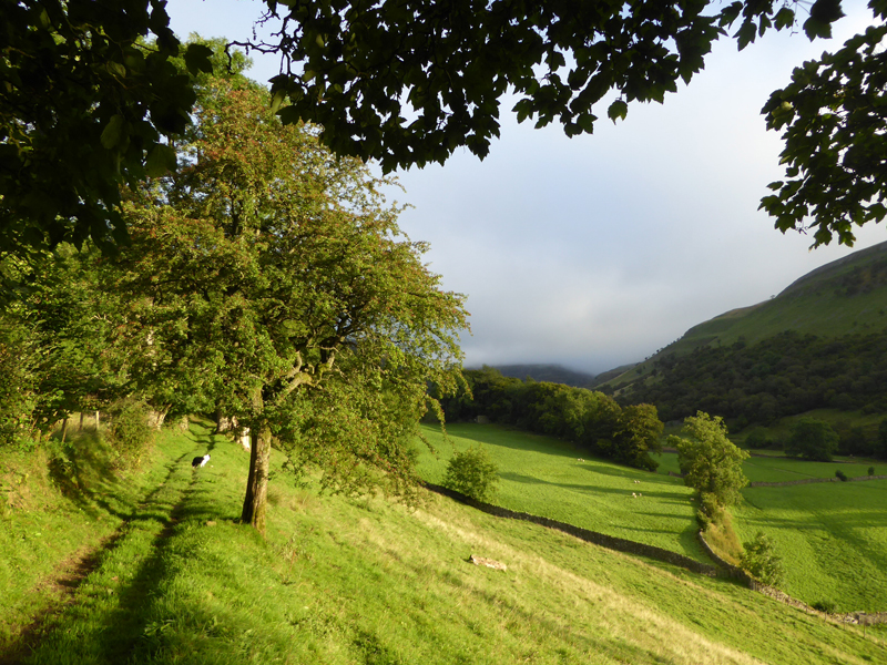
Whaw Moor
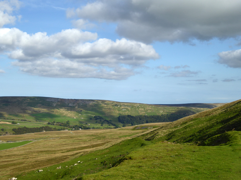
Before we cross the river on Scarhouse Lane, we enjoy a fine view over to Whaw Moor - the next part of the walk. A lonely hexagonal building in the field was a gunpowder store in the days of mining, or is it octagonal? It has several sides and can't remember just how many.
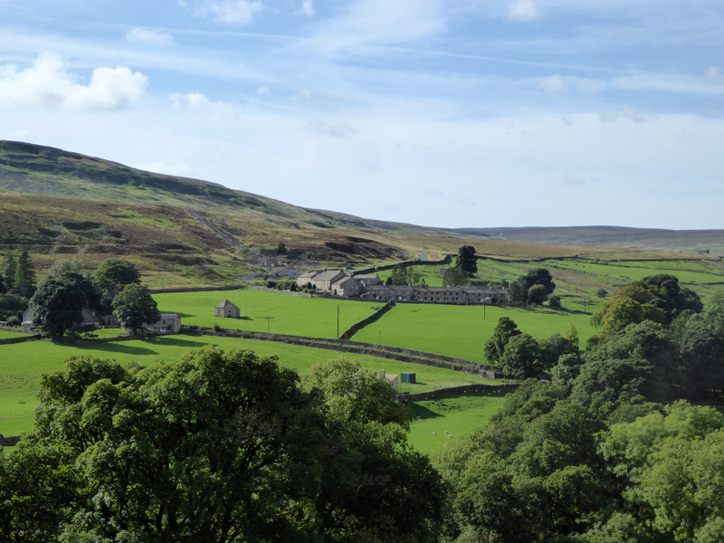
Scar House
We crossed Arkle Beck and walked up the lane as seen to find the country road which leads up to Tan Hill and beyond to Kirkby Stephen. A watering hole was well placed for a short refreshment break.
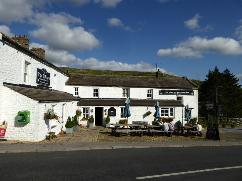
The Charles Bathurst Inn
After a drink, we take the road uphill for about 3/4 mile to the signpost for Whaw Moor. A gently inclining miners' route up the moor extends for about a mile to gain the elevated position on the easterly edge of Great Pinseat.
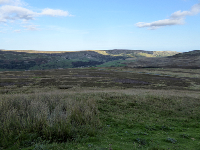
Looking Back to Booze Moor and Scar House Woods
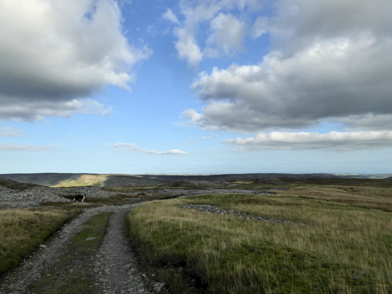
Whaw Moor
 |
 |
The walk follows a well-worn track past the mining areas of "Hungry Hushes" and across Turf Moor (r).
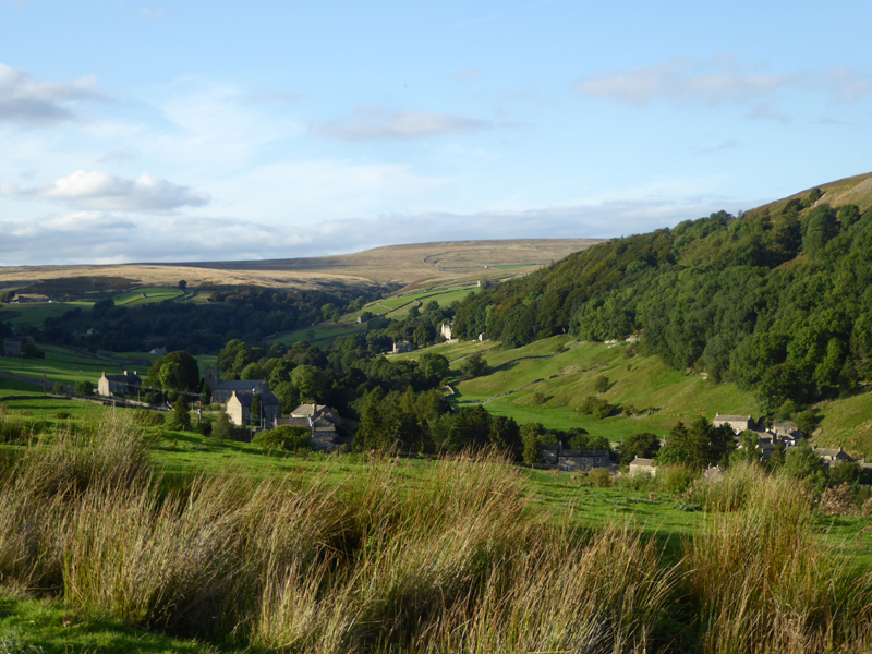
Arkle Town
The sun disappeared for an hour or so, but it returns as we reach Arkle Town.
Langthwaite
Walkers: Jo Hall, Amber, Molly and Me.
Time taken: 7hrs over a distance of about 10 miles.
Route: See "Leaden Arkengarthdale" on the AA website and note that we varied the route at Point 4, heading south and then back along Booze Common and Windegg Lane.
Weather and conditions: Warm and sunny - a fine late summer's day. It was only cloudy for a while as we crossed Turf Moor (!).
All photos copyright Richard Ratcliffe 2016 ©
Take me back to the start ....