
~A Kentmere Horseshoe~
6th March 2016
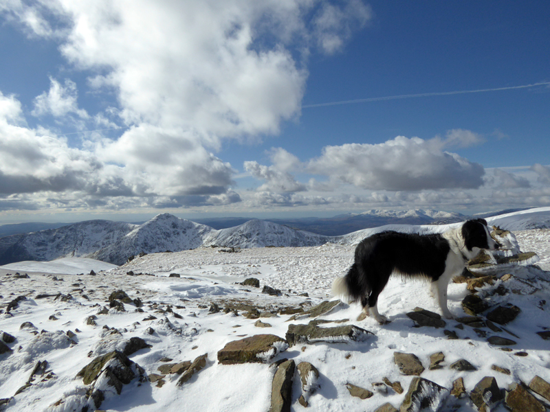
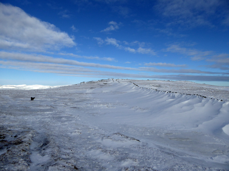
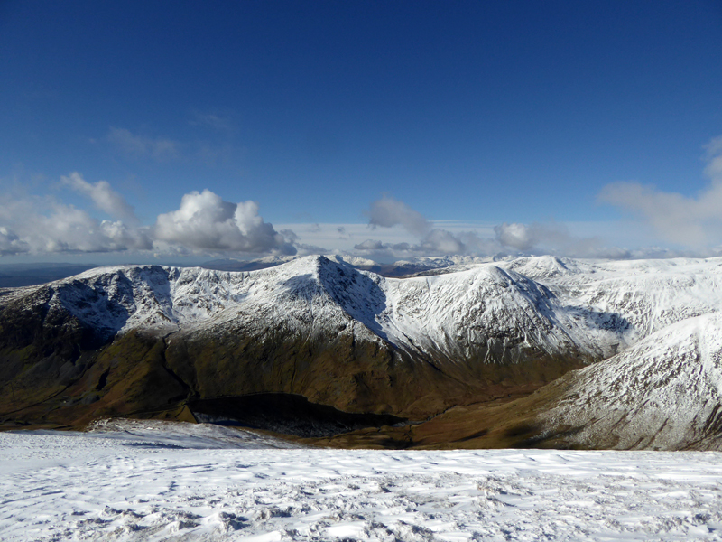
Wintry Scene on Mardale Ill Bell
Scroll down for photos and a description of the walk....
 |
 |
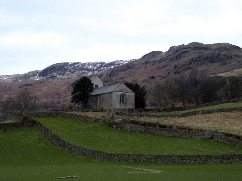
Kentmere Church |
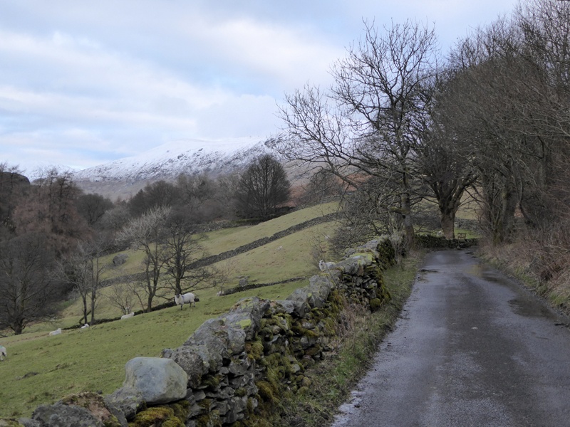
To Hollowbank / Brockstones |
It's been 84 days since our last Lakeland walk, so given a fine forecast for this Sunday and a blank canvas, which of the mountain ranges would best suit our boots and paws? A Kentmere Horseshoe was chosen from a shortlist of three potential ridge walks. You will have to read on to discover why Kentmere won the vote...
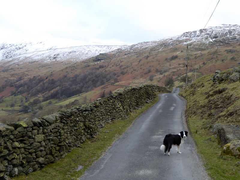
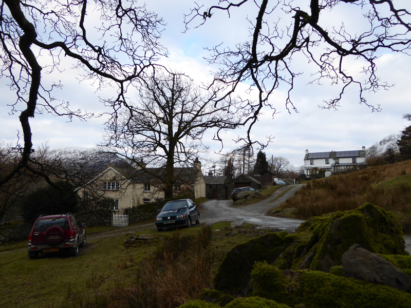
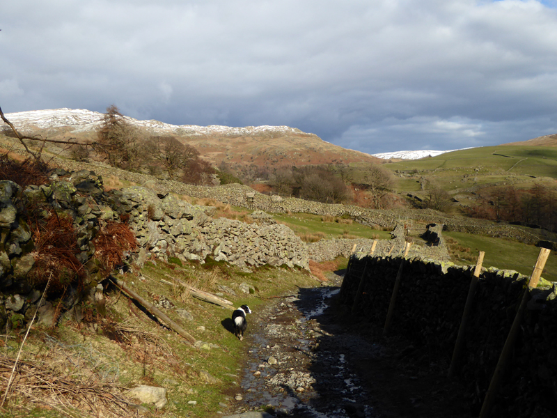
To Hollowbank
"The" Kentmere Horseshoe would start with Shipman Knotts (anti-clockwise circuit). But this version is to start with a direct ascent of Kentmere Pike, joining the ridge close to Goat Crag. We started at 07:40hrs The road to Hollowbank offered unhindered progress with no traffic encountered.
 |
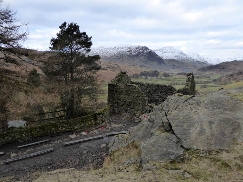 |
Hollowstones |
Ruins |
It was a chance encounter with an "old" friend on Pendle Hill the evening before which got me thinking about Kentmere. We had camped together at Limefitt Park - maybe 26 years ago (happy days!) - this got my mind working towards a walk in this area. Clare had Beth and I had Jess, two fine Border Collies, the breed lives on in the form of Molly and today marks exactly two years since a young pup joined us and changed my way of life!
Withered Howe
Wainwright offers two ascents of Kentmere Pike and the other one, from Sadgill in Longsleddale looks more interesting, but does not lend itself to the kind of circular walk I was planning.
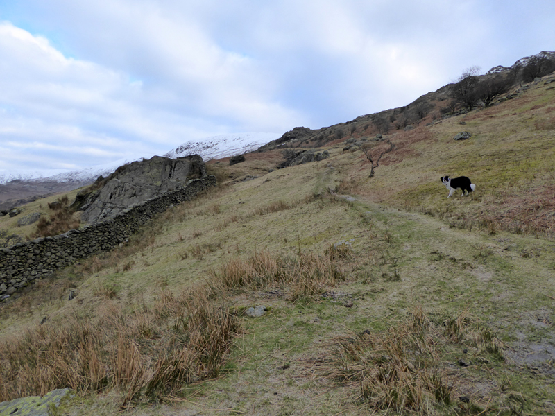
The Snowline
Soon we reach the start of the snowy territory, we are aiming for a stile to cross the wall and join the walk from Shipman Knotts to Kentmere Pike.
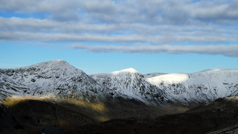
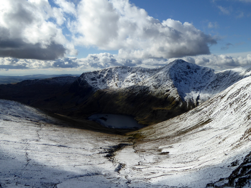
Ill Bell (l) and Froswick
The proposed return route is shown with Froswick summit in bright sunshine; Ill Bell to the left is higher and awaits illumination, just as we do over here.
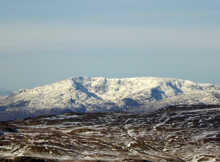
The Coniston Fells...
...were on the shortlist as was the Fairfield Horseshoe - one thing is for certain, if I'd gone for either of those, I would have met other walkers by now.
 |
 |
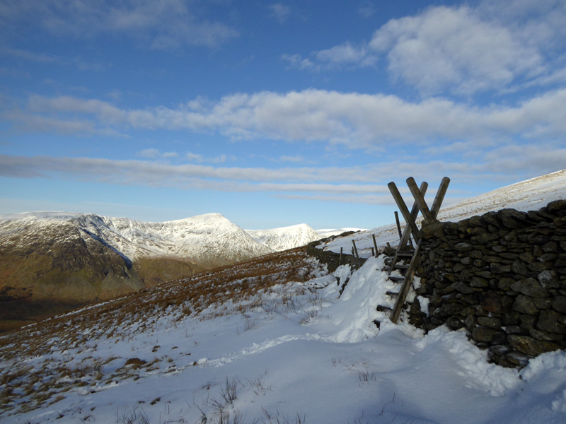
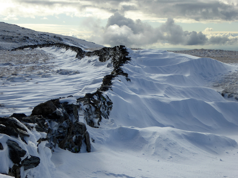
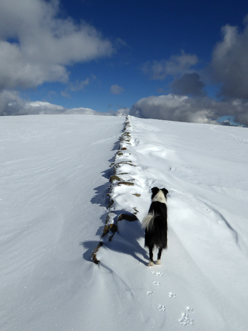
The Stile
The Wall
Wainwright describes the last mile as being dull - not today!
Kentmere Pike Summit 2,397ft asl
To Harter Fell
These mountains bring me something I can't define, it can't be bought and it can't be bottled.
~~~
~~~
~~~
 |
 |
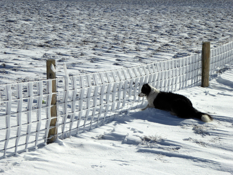
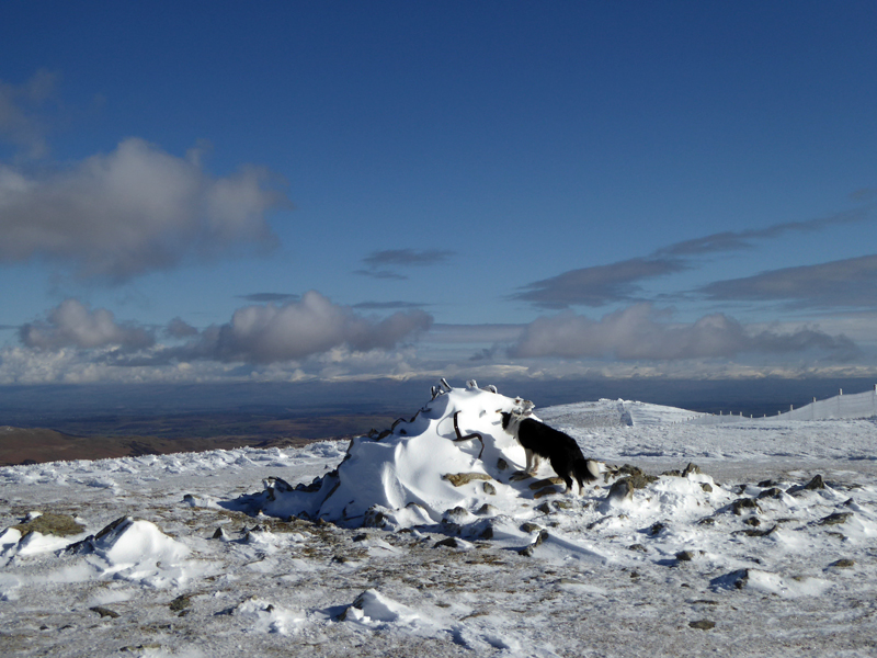
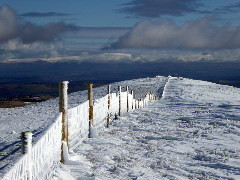
Whilst I was messing about with my camera, a bored Molly chucked her ball through the fence and can be seen staring at it. I was determined not to spoil the ice-work on the fence, so I picked up the miscreant and put her on the other side to collect the ball and then grabbed her under the arms and lifted her back over again. I told her in no uncertain terms that a repeat would result in the ball being left behind!
~~~
 |
 |
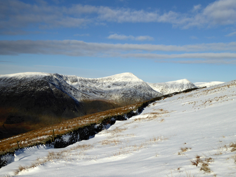
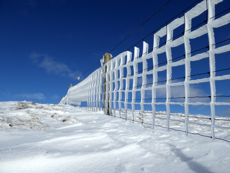
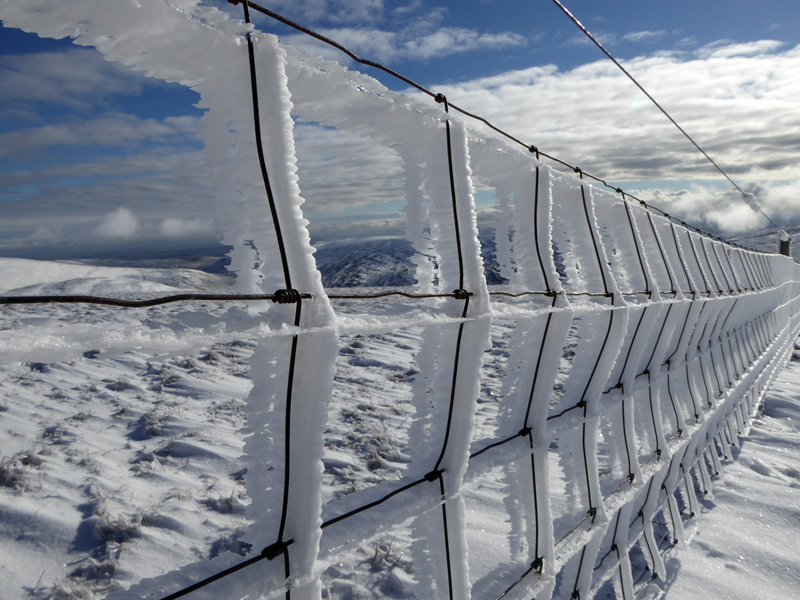
Harter Fell Summit 2,539 ft asl |
The Fence |
Grips on now for the steep descent to Nan Bield Pass - better safe than sorry.
Molly The Collie
Two years since a baby Molly arrived at home and did her business all over the living room carpet!
 |
 |
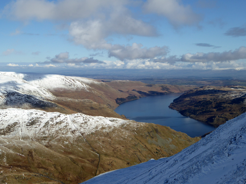
Haweswater |
Small Water |
~~~
Kentmere Reservoir
On the descent to Nan Bield Pass at about 11:00hrs we passed the first other walker.
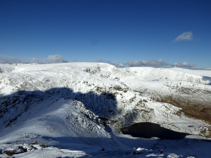
Mardale Ill Bell 2,496ft asl
It took one hour from Harter Fell to here - walking through deep snow isn't easy. Mardale Ill Bell has become a favourite of mine with a most impressive route of ascent from Mardale Head and up the north ridge from Blea Water - two miles of outstanding mountain scenery and you are not likely to be competing for space.
The Wall to High Street
With semi-soft snow all around, the answer was to walk along the top of the wall to the summit of High Street. You would never choose to do this if snow hadn't drifted to the top of the wall on either side, but the psychology is such that it will be perfectly safe...and it was.
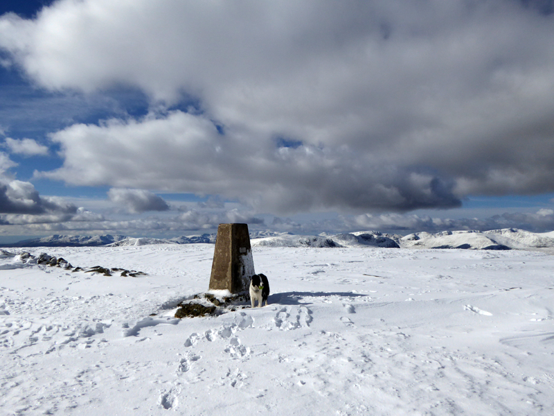
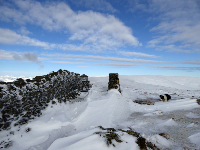
High Street Summit 2,718ft asl
This is the highest point of today's walk and for that matter the highest point of "The Far Eastern Fells".
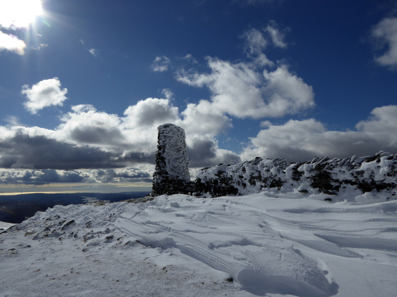
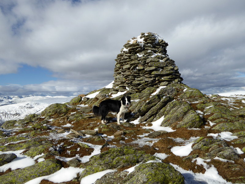
Thornthwaite Beacon 2,569ft asl
A familiar sight, the beacon on Thornthwaite Crag.
To Froswick
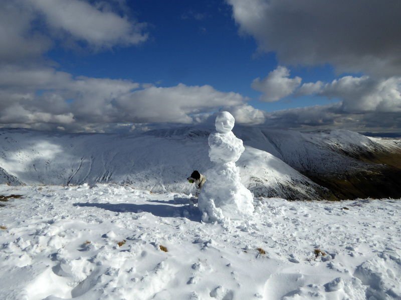
Molly & The Snowperson
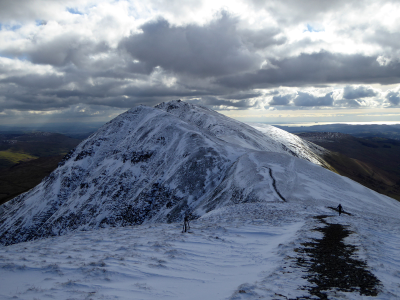
Froswick
When mountains were made, they used the same mould for Froswick and Ill Bell - it just so happened that they patted down Froswick too vigorously and left her 120ft-ish shorter than her neighbour.
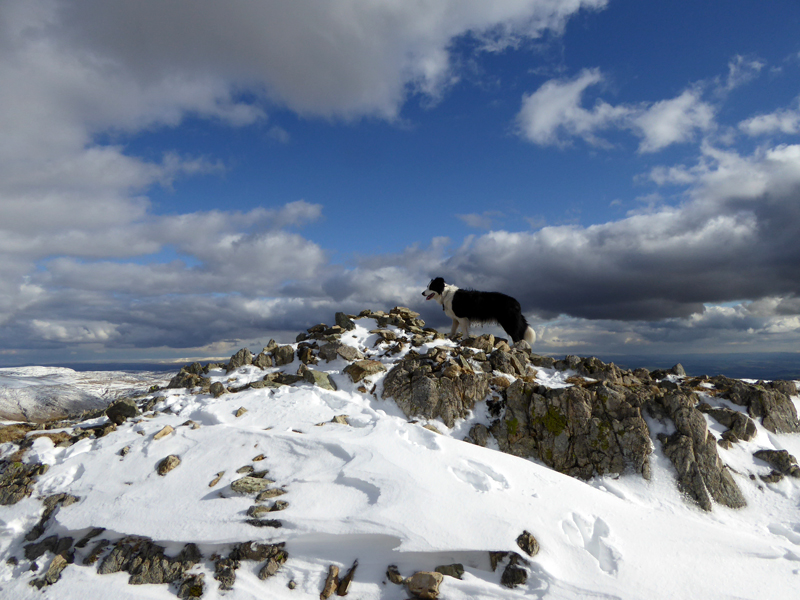
Froswick Summit 2,359ft asl
Fatigue is setting in, all these ups and downs on and in snow and ice are taking their toll. Just a couple of minutes earlier a sprightly man of similar age jogged past me with his walking poles dancing to the same tune - he must have fruit for breakfast and salads for tea - it's remarkable how different we all are, isn't it?
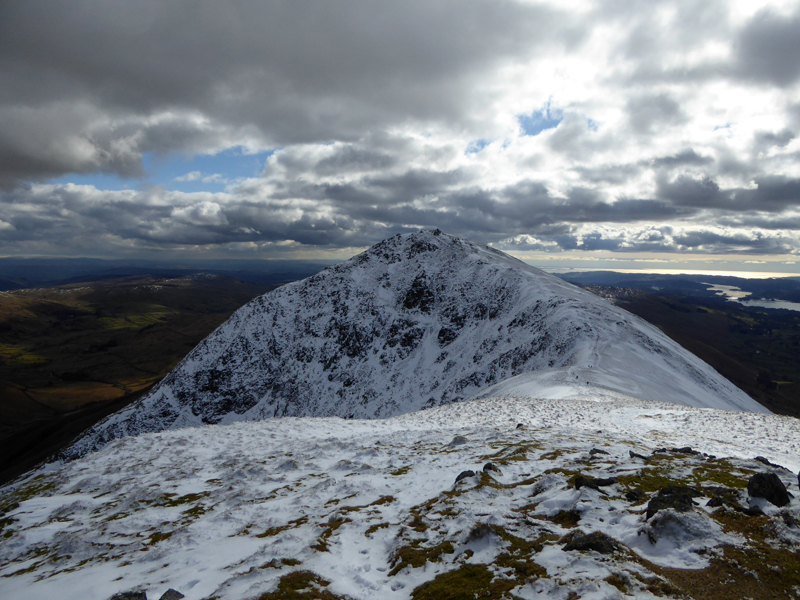
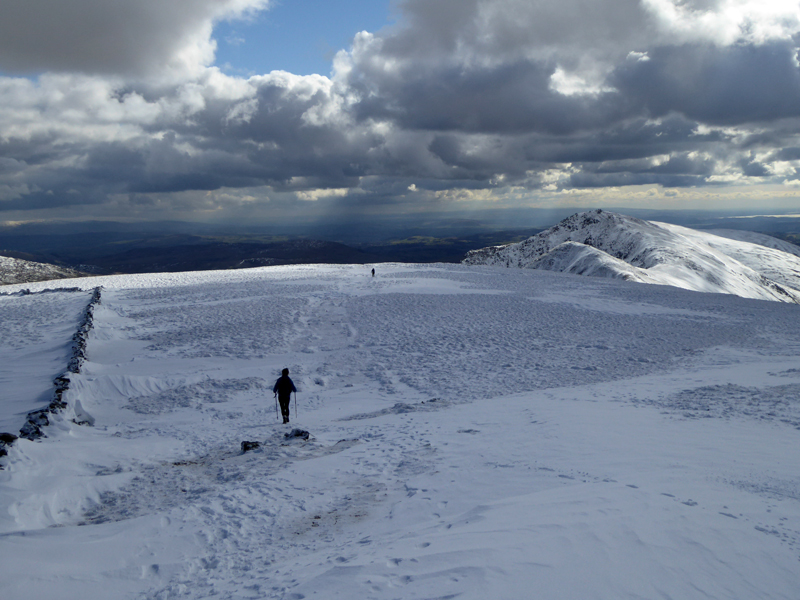
Ill Bell
Another 400ft of ascent to look forward to.
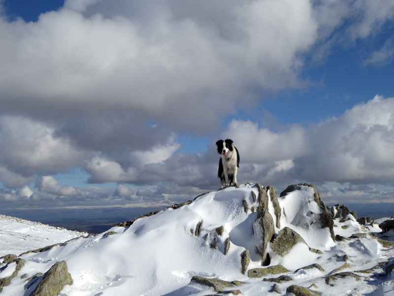
Ill Bell 2,476ft asl
Time for a nap in this peaceful and beautiful location. Last year I would have kept Molly on the lead if I was planning a rest, but now I just let her please herself for the fifteen minutes or so that the warm sunshine kept me company. A shrill bark brought me back to life as another walker dared to intrude onto our patch. It is nearly four miles back to the car, over Yoke and down the Garburn Pass.
 |
 |
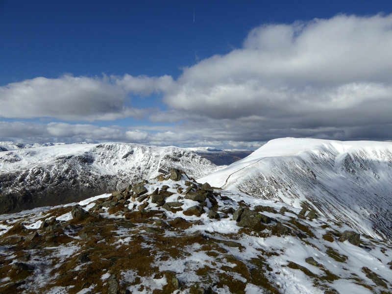
Yoke Summit 2,309 ft asl |
To Garburn Pass |
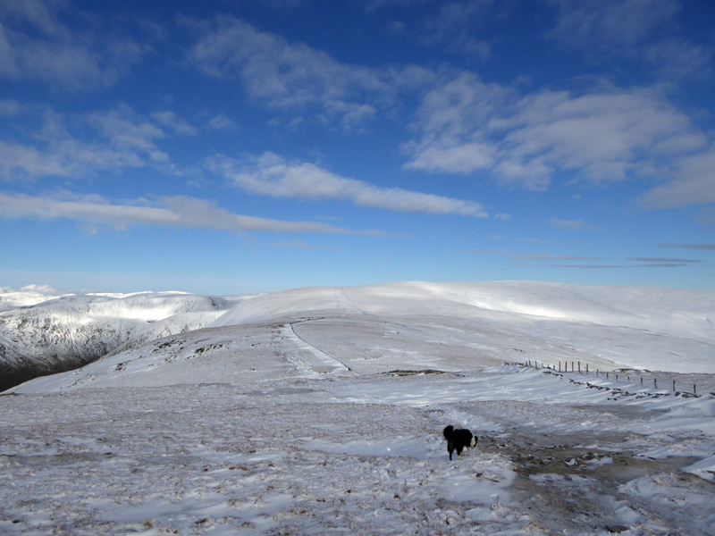
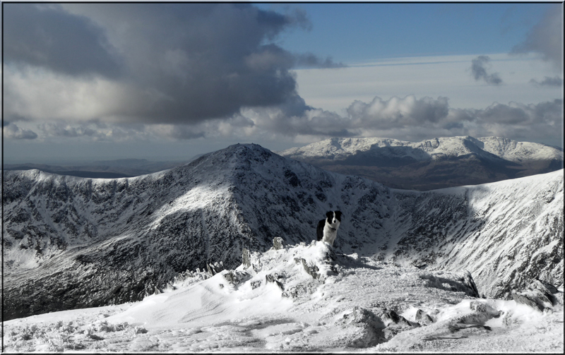
Ill Bell is the star of the western ridge of the Kentmere Horseshoe and Yoke is somewhat disappointing in comparison, but it is what it is and whilst I have been here numerous times before, Molly hasn't and she is dead excited at bagging another.
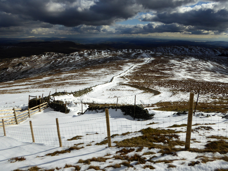
Garburn Pass
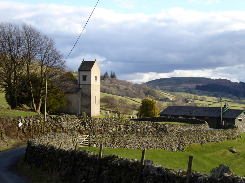
Kentmere Church
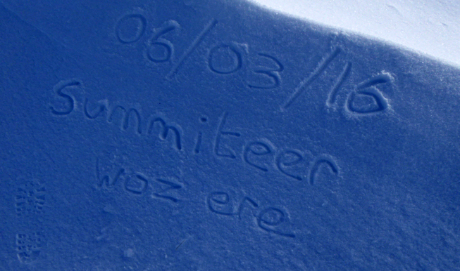
The donation is now £3 to the church fund, get there early. Sometimes a field is opened up for latecomers to park in and this was the case today. Fellwalker Andy from Lancaster spotted my snow-written graffiti and hastened an email to me about conduct on the fells and respecting the environment - actually, no he didn't say that, he was the first person we bumped into and got in touch to affirm our earlier thoughts about it being a great day - snow, sunshine, mountains...it helps me lose my mind and every now and again that's most welcome.
Walkers: Molly The Dog and Me.
Route: Kentmere Church, tarmac road to Hollowbank, up to Withered Howe. Stile over the wall to ridge route for Kentmere Pike. Harter Fell, Nan Bield Pass, Mardale Ill Bell, High Street, Thornthwaite Crag, Froswick, Ill Bell, Yoke, Garburn Pass, Kentmere Church.
Weather: Calm, cool, sunny, warm in sheltered spots and slippy on untreated surfaces.
Time Taken: 8 hours over a distance of about 13 miles.
Refreshments: Not taken on the journey home, other than a tin of Chum and a cup of Costa from the petrol station just after Staveley on the A591 (Plantation Bridge).
All photos copyright Richard Ratcliffe 2016 ©
Take me back to the start ....