
~White Side & Helvellyn~
25th June 2016
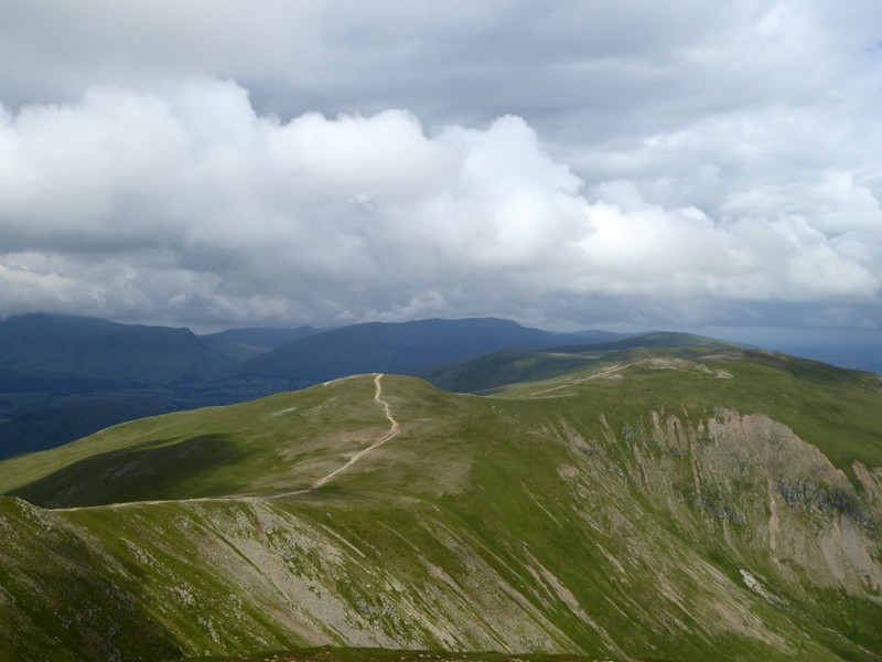
White Side from Helvellyn
Scroll down for photos and a description of the walk....
 |
 |
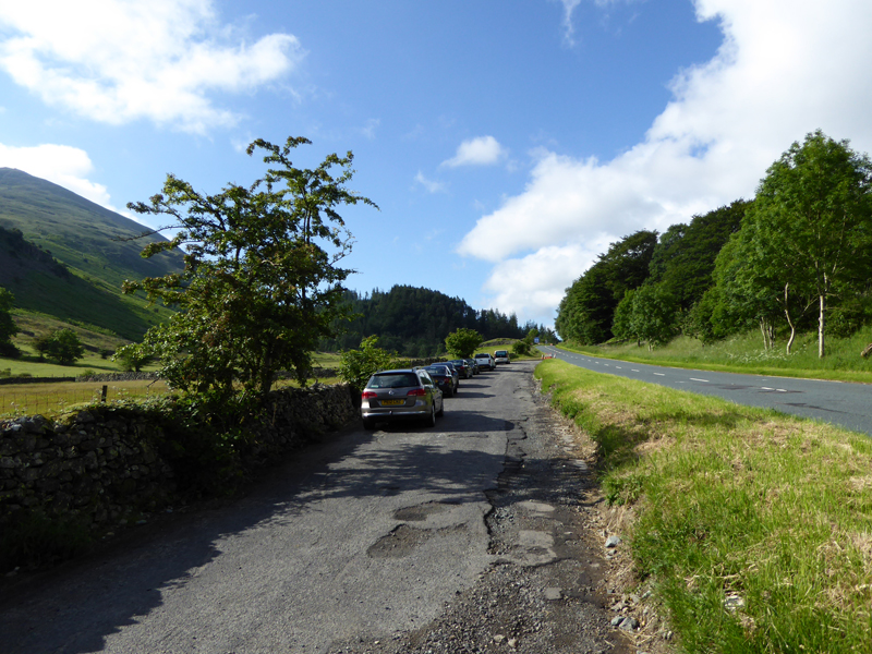
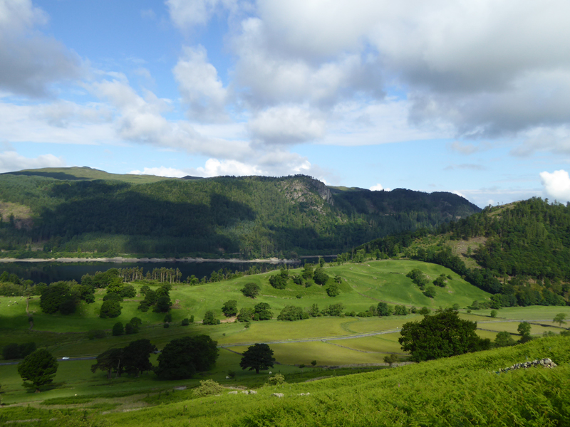
Thirlspot Lay-By |
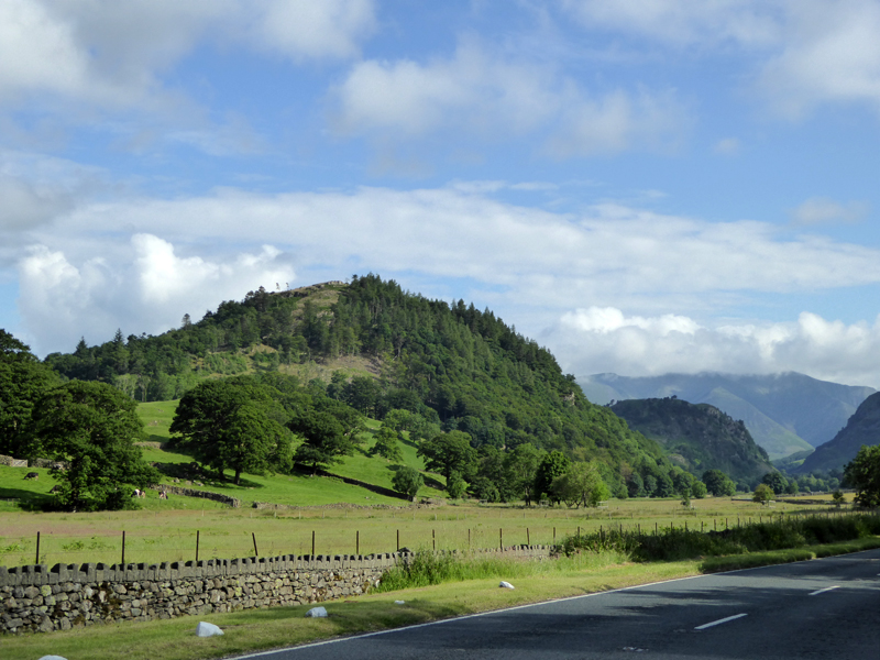
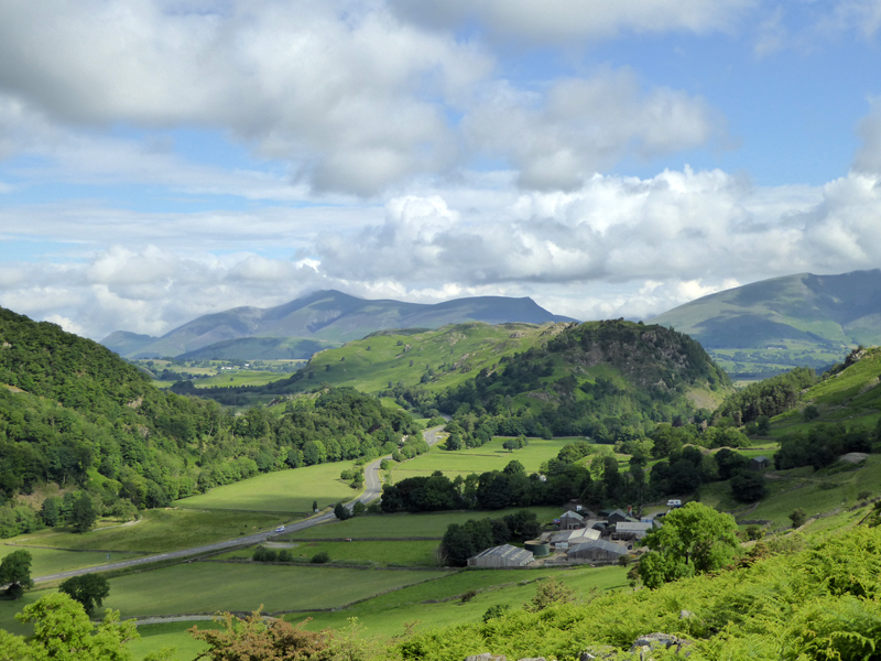
Great How |
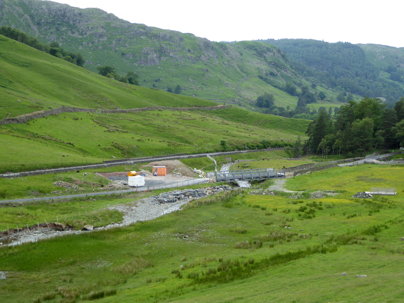
My first venture along the repaired A591 since Storm Desmond wreaked havoc all over the place. The Swirls car parks remain closed for the foreseeable future, but the other United Utilities car parks are not currently charging.
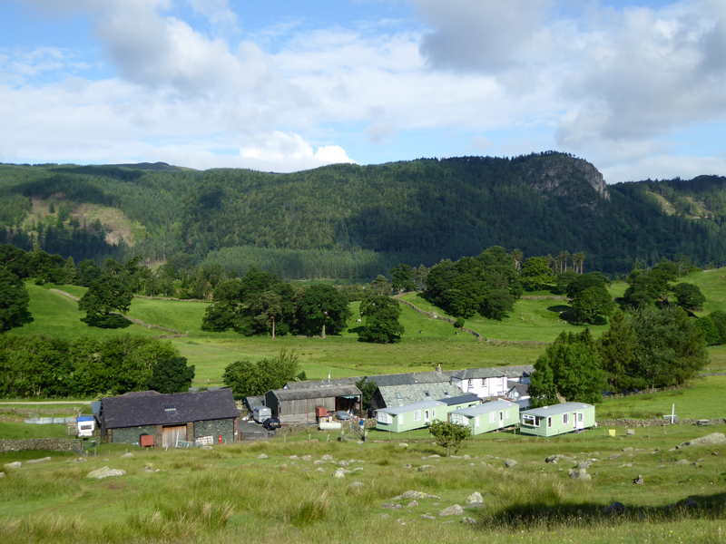
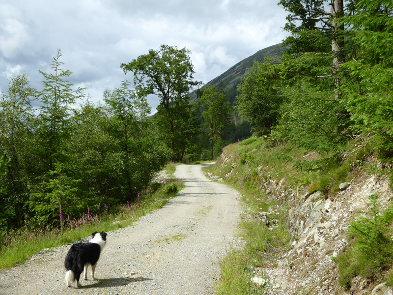
Thirlspot
It's probably not too frequently that a walker leaves home and declares that they are off to climb White Side and I didn't do such today. I told anyone listening I was off to climb Helvellyn, it's cuts the conversation short and everyone can get on with what they are doing.
Raven Crag (Thirlmere)
Those of you with your Wainwright Book One open at White Side 5 will notice a feint path up Fisher Gill and hence Brund Gill - that's today's route, staying as close to the watercourse as possible.
 |
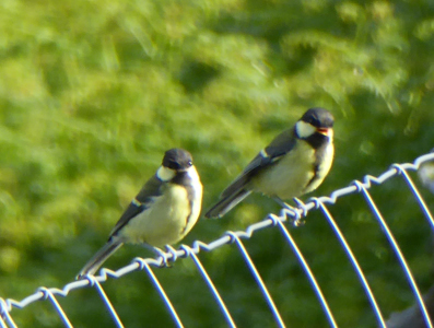 |
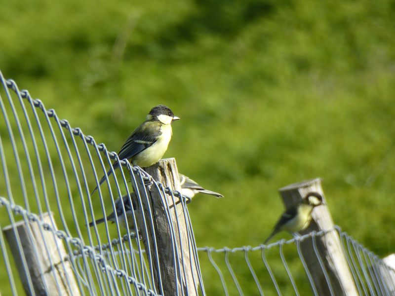
Plenty of Great Tits were in playful mood on the wire fence.
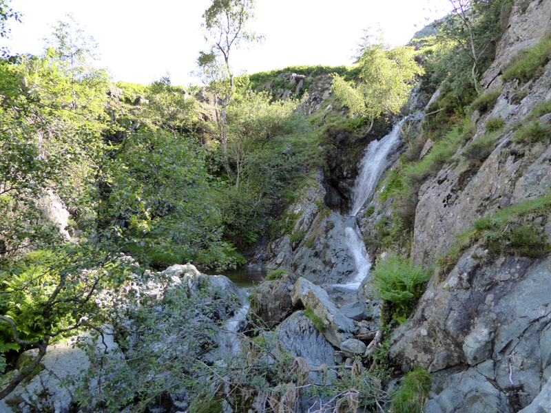
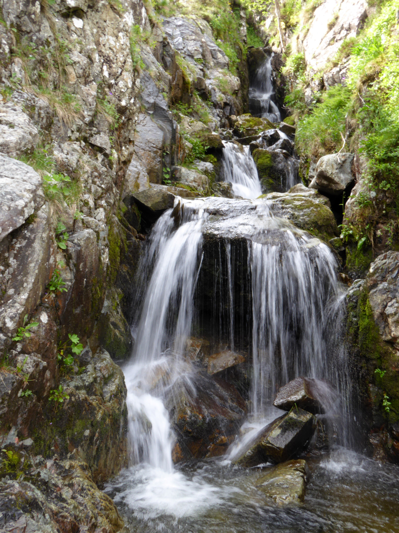
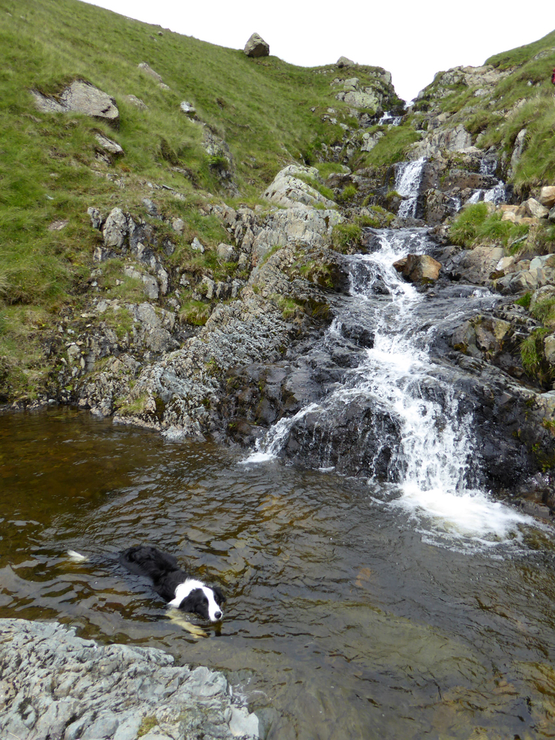
Fisher Gill
One of Lakeland's less frequented cascades, Fisher Gill is well worth a visit on a warm day like this, or equally a frozen scene would be well worth seeing.
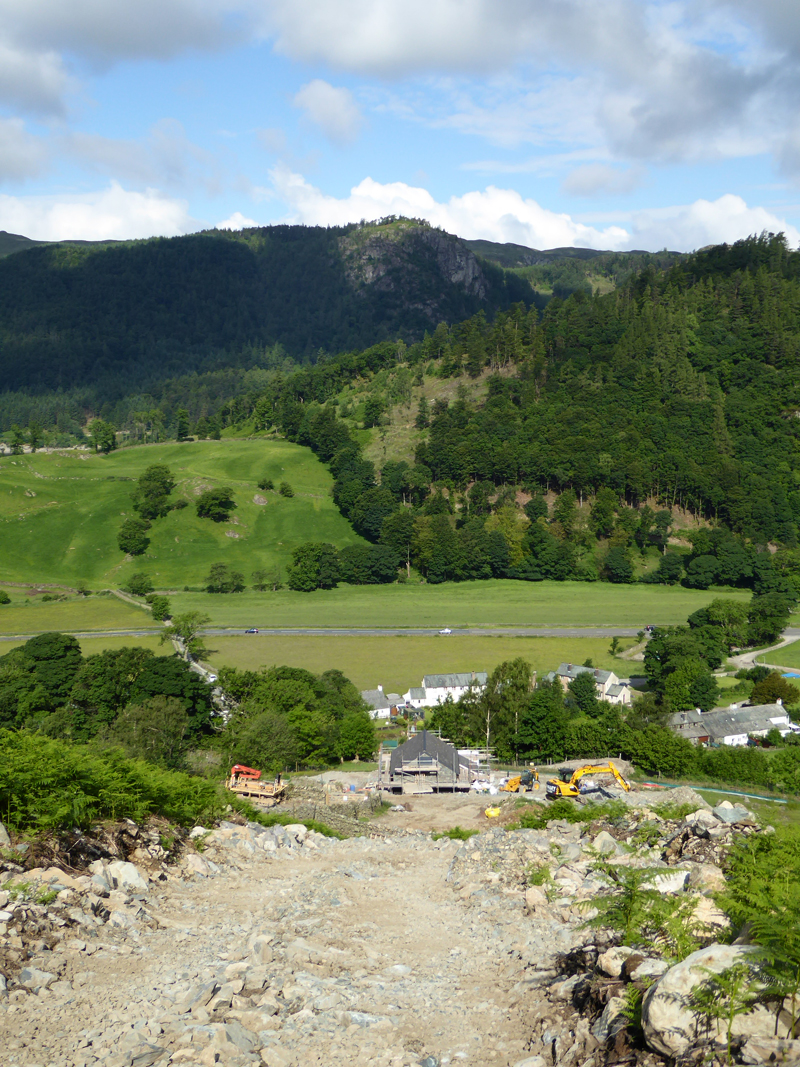
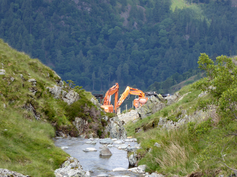
Fisher Gill Hyrdo-electric Scheme
The details of the scheme are provided via a link at the foot of this page.
High Rigg
The A591 makes its way between High Rigg and Great How; Stybeck Farm at Stannah is close by and Skiddaw with Lonscale Fell are further away.
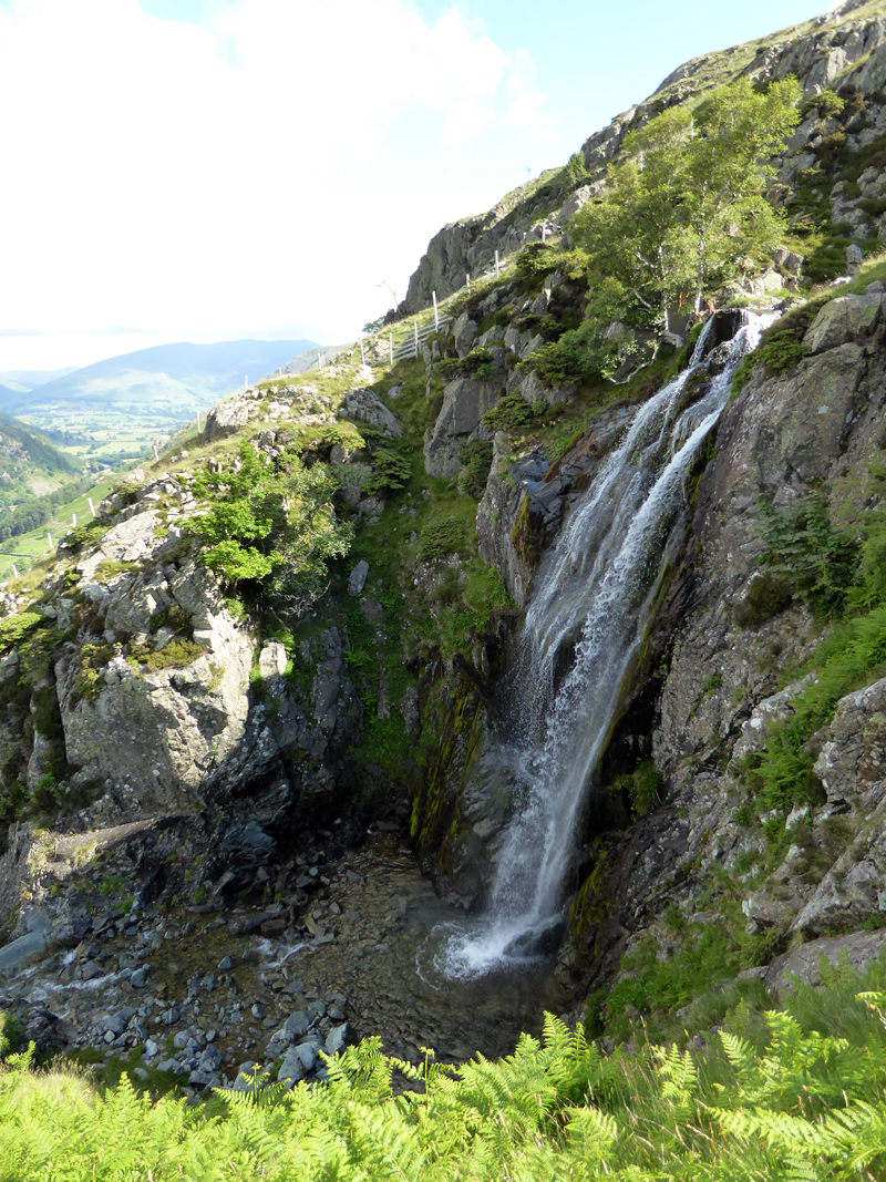
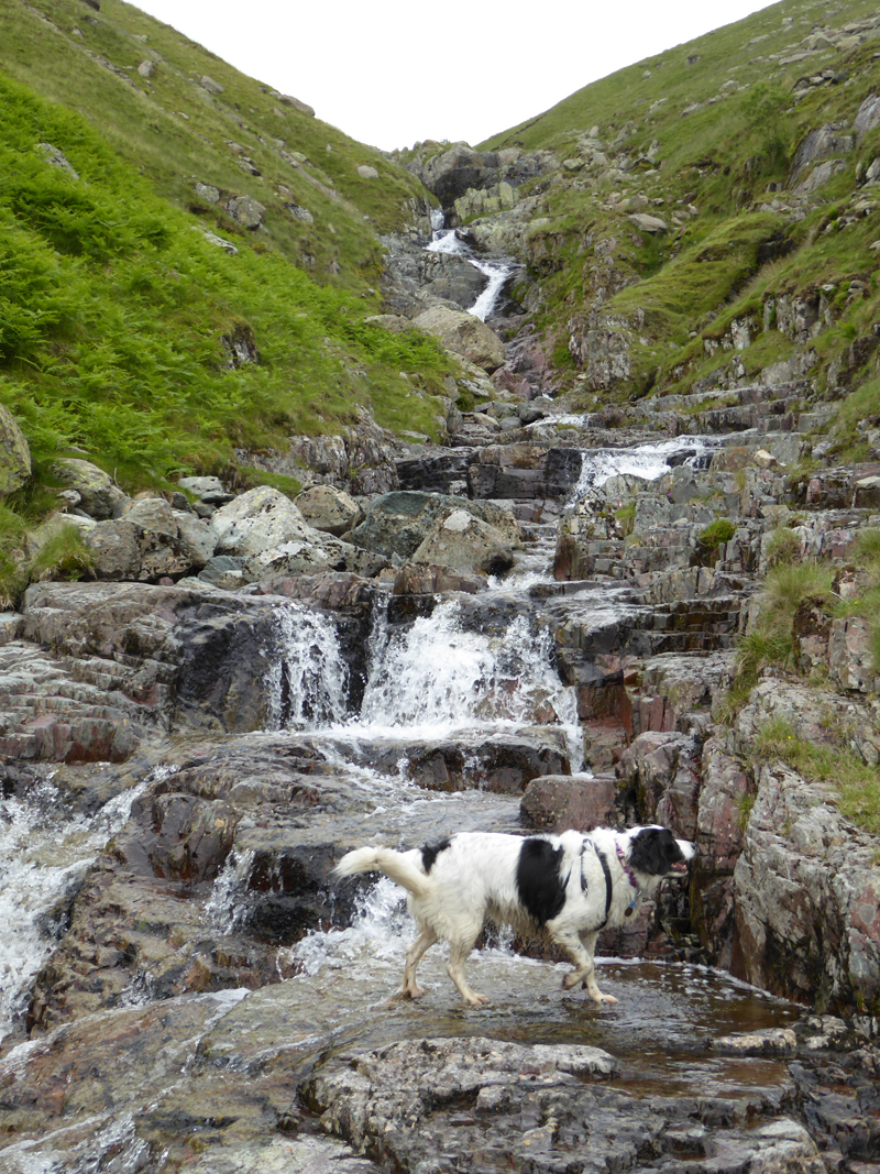
Upper Waterfall, Fisher Gill
Much lower down, Molly dropped her ball in a pool and it disappeared down one of the waterfalls. We went to have a look, but it couldn't be found - this is not good news as she loves to fetch the ball on grassy slopes, of which there will be plenty higher up.
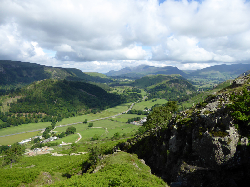
Summer in The Lake District!
 |
 |
Diggers in Fisher Gill |
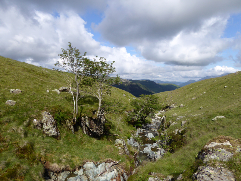
Brund Gill |
The feint path is very difficult ot find / follow in places, so we just stuck close to the gill.
Rocky Gorge, Brund Gill
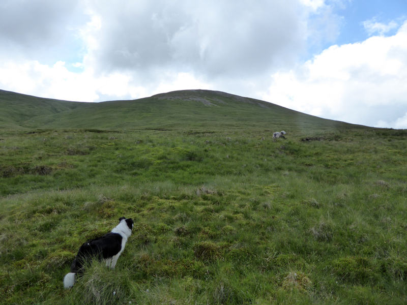
Molly and The Sheep
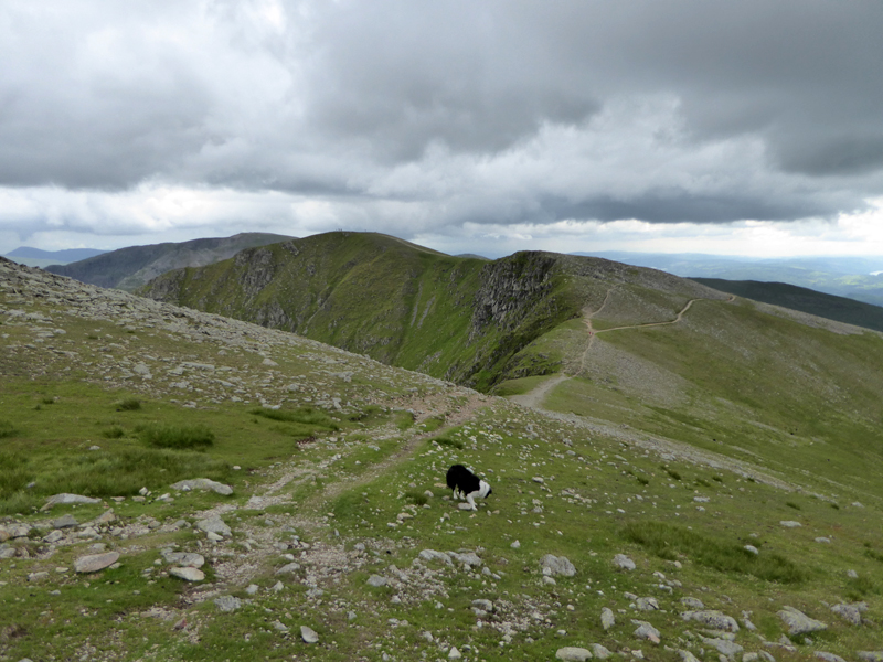
It's a dull trudge up to the ridge linking White Side (ahead) with Raise (left).
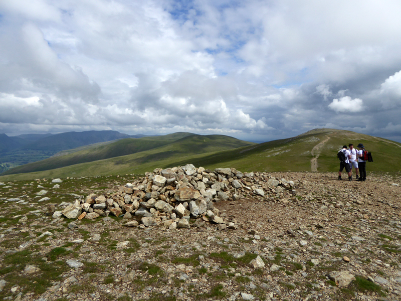
White Stones Summit 2,832ft asl
Raise and The Dodds extend in a northerly direction. Charity walkers assemble and plan a route to Ullswater for a spot of kayaking.
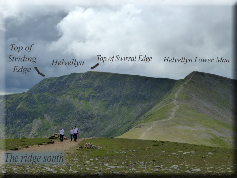
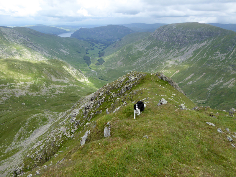
Ridge Route to Helvellyn Lower Man
Almost exclusively in Wainwright's Books, the writer only describes "Ridge Routes" between fells that command their own chapter. Helvellyn Lower Man breaks the rule as it is listed as a target for a ridge walk both in White Side's pages and those of Helvellyn and yet it doesn't merit a chapter of its own.
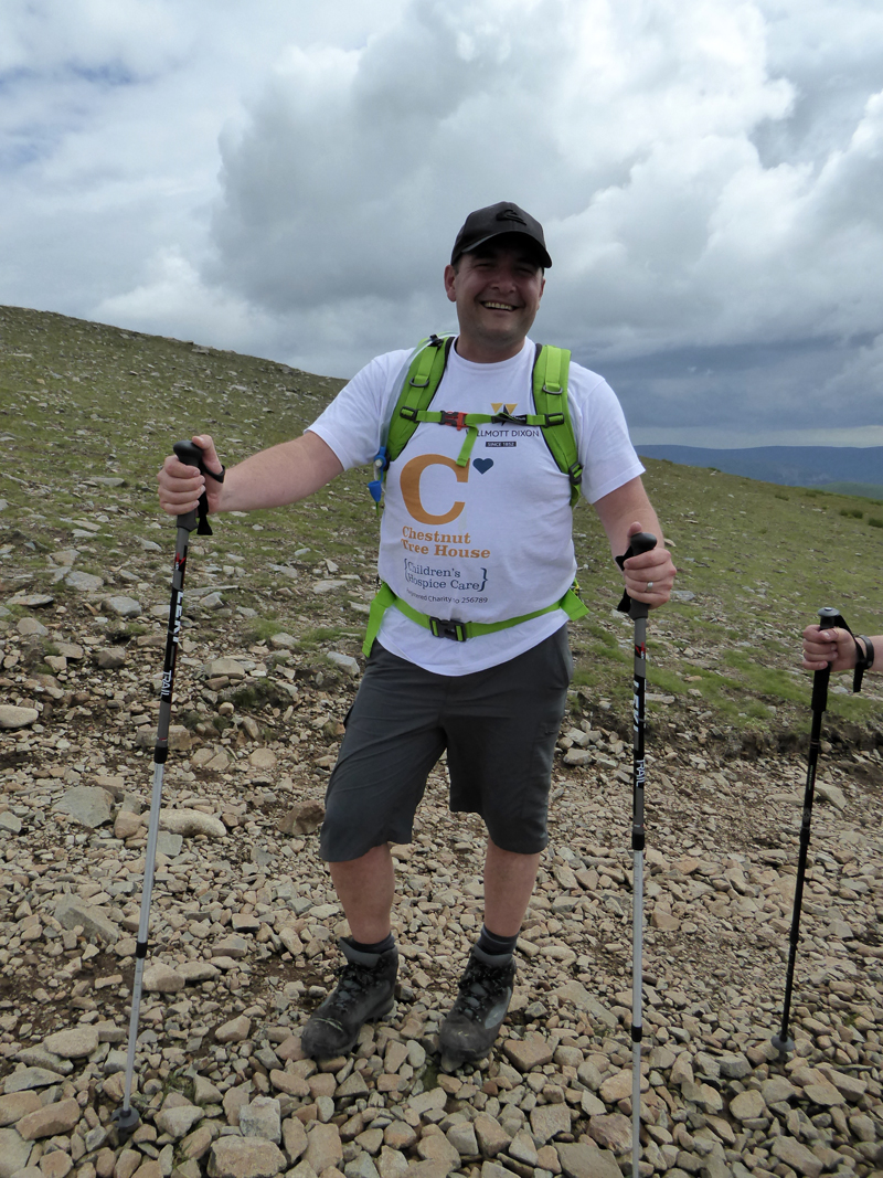
Wilmott Dixon / Chestnut Tree Hospice
Many fundraisers take on great challenges for worthy causes; these folk from "the South" were walking a long way and then taking to kayaks on Ullswater.
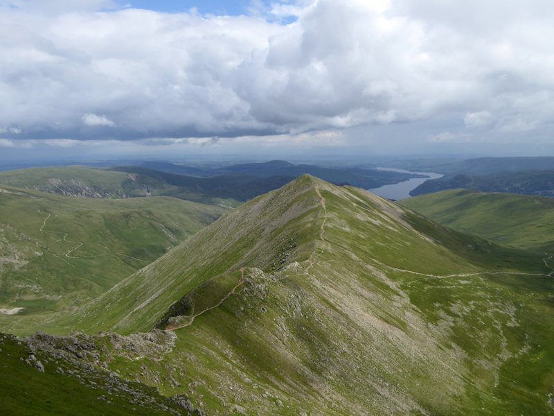
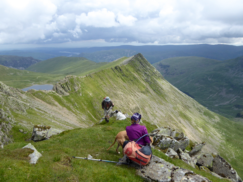
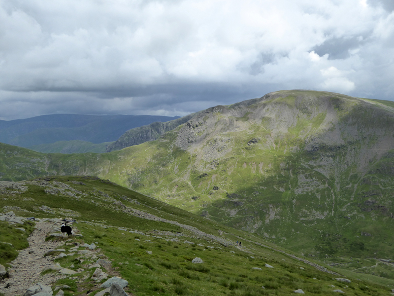
Swirral Edge
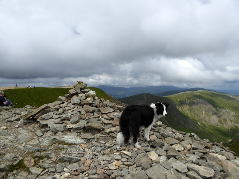
Before long we were back on top of Helvellyn - Molly's fourth time and my sixteenth recorded visit (plus a few more). It's a Mecca for climbers and fellwalkers.
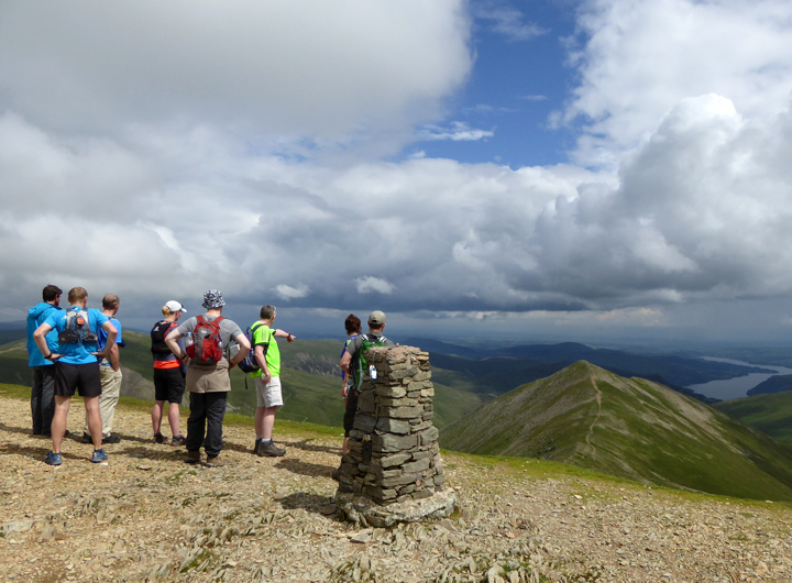
Helvellyn Trig Point
Helvellyn Summit 3,118ft asl
Lunch in the shelter where I met up with John and Jo with their dogs. Our agendas allowed for us to walk on together to Nethermost Pike and beyond.
Lunch
J&J took lunch with a fine view of Striding Edge.
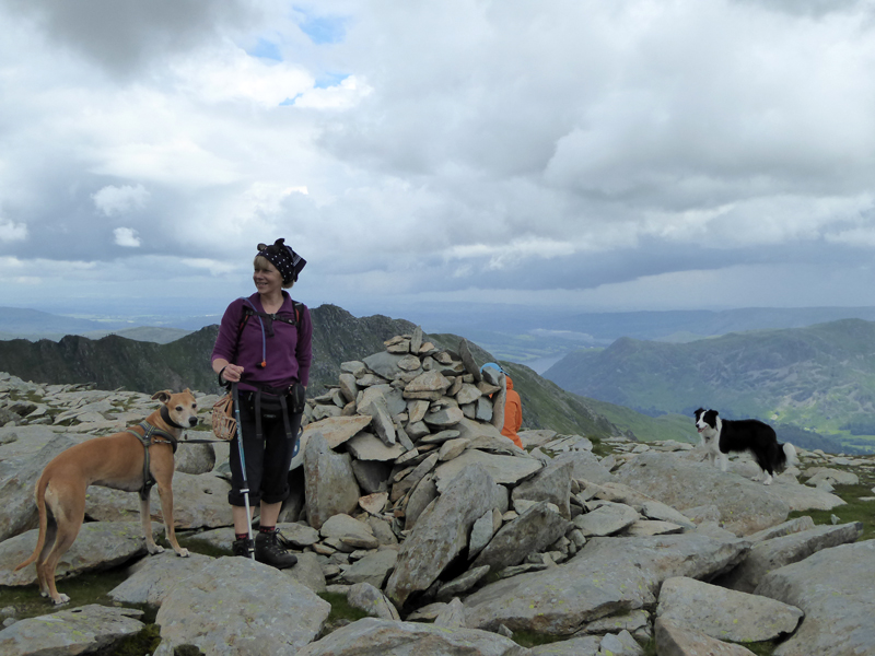
Nethermost Pike Summit
We have lost the sunshine now, as expected. Amber, Jo and Molly attend the summit.
To Dollywaggon Pike
Dollywaggon Pike
We took a look at the the view from the top of The Tongue down into Grisedale Beck; St.Sunday Crag on the right in this view.
The Zig-Zags
The 1,000ft descent down the zig-zags awaits us and there are a few drops of rain in the air. Fairfield ahead in this view.
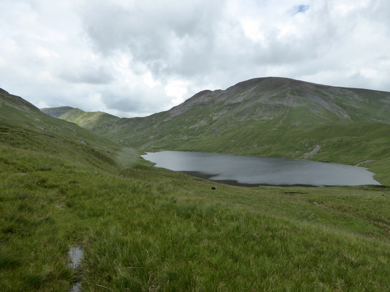
Grisedale Tarn
There is no clear path along this side of Grisedale Tarn, so we trudged along at a contour some 100ft or so above the tarn, it was not very nice and even though I've walked this way twice now, I am determined not to do so again.
Raise Beck
Water opportunities in Raise Beck on the way down to Dunmail Raise.
Teagan
Bailey Bridge
The Bailey Bridge was used to allow selected traffic to get past the damaged road, how long will it stay there? We should remember that the waters of Raise Beck which destroyed the roadway during Storm Desmond naturally flowed south until the water people diverted it north and into Thirlmere.
Birkside Gill Crossing (photo John Paterson)
To Swirls
John offered me a lift back to the car, but I insisted on completing the walk along the forest track to get back to Swirls and Thirlspot.
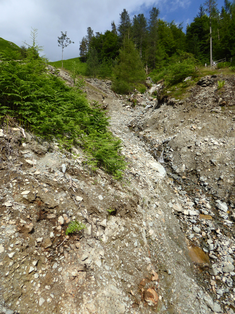
The gill above the reservoir straining well is not named on the OS map. Lead mines used to operate high up here and there is a route to Helvellyn on the right-hand side of the gill - I ascended that way many years ago. This is a scene of devastation, the forestry guys also had a lot of work to do after the storm.
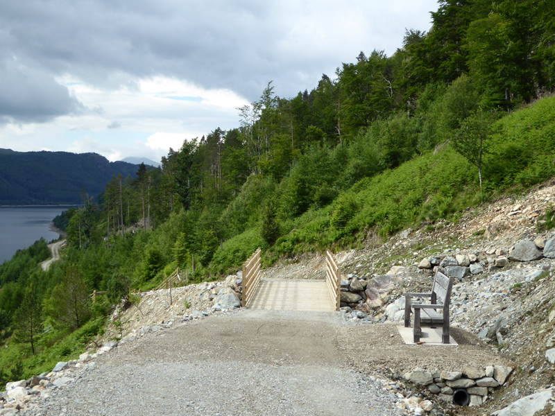
The Bench
A fantastic location for a bench: "In Memory of Christian and Niggy Townend Aged 29 & 21 Who Died 5th December 2010" - they died in a road traffic accident whilst cycling on the A595 (not the road next to Thirlmere).
 |
 |
Steel Fell |
A591 |
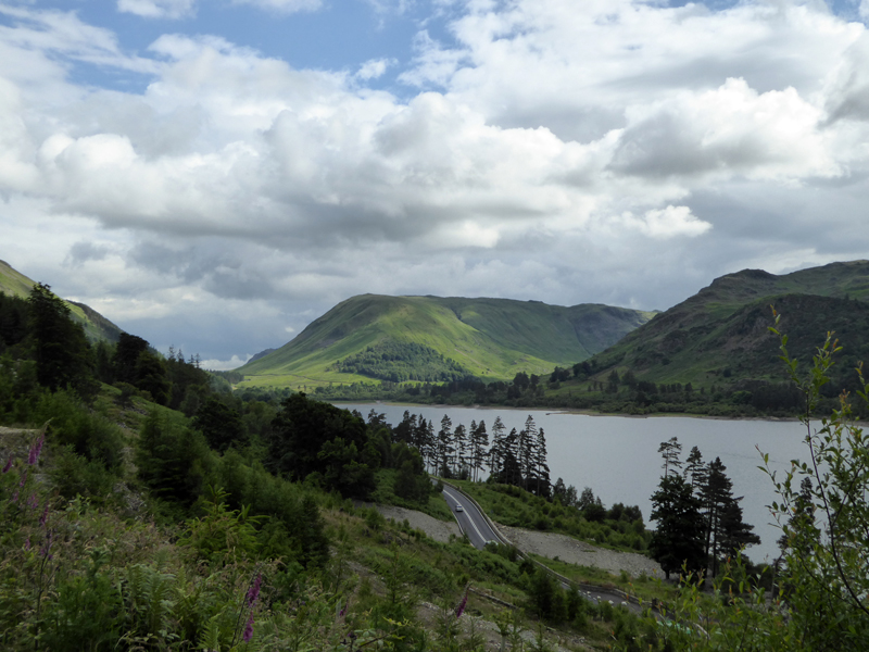
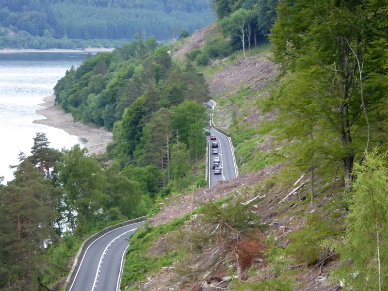
The drive along the A591 has changed. The speed limit is now a cautious 40 mph, which won't suit everybody; the road has been resurfaced and many trees have been felled which opens up the view.
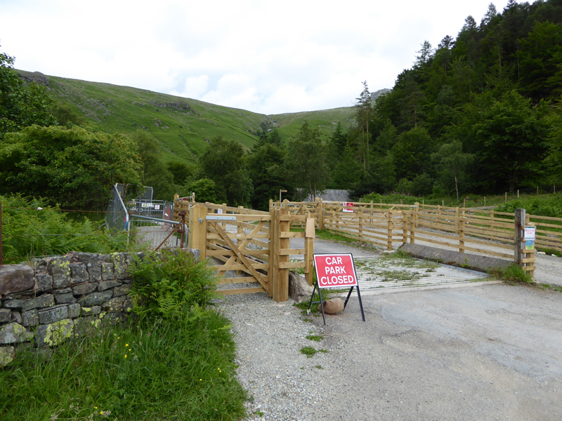
Swirls Car Park (Closed)
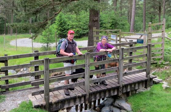
Walkers: Molly The Dog and Me for all of the walk and joined by John Paterson and Jo Hall from Helvellyn to Wythburn.
Route: Thirlspot, Fisher Gill, Brund Gill, White Side, Helvellyn Lower Man, Helvellyn, Nethermost Pike, Dollywaggon Pike, Grisedale Tarn, Raise Beck, Forest Track back to Swirls and Thirlspot.
Greetings: No encounters with anyone until White Side and then it was like a busy high street, fortunately without the litter. We met Jeanette, Shirley and Anna at the top of Helvellyn; Jeanette was on the Mungrisedale Common Walk of late last year.
Weather: Warm and sunny declining to overcast with a few spots of rain and then improving to sunny intervals. Heavy rain on the way home.
Time Taken: 7 hours 50 mins over a distance of about 13 miles.
The Fisher Gill Hydro-Electric Scheme
Nearly All photos copyright Richard Ratcliffe 2016 ©
Take me back to the start ....