
~Ingleborough~
27th August 2016
Second ascent of this fine peak this year...
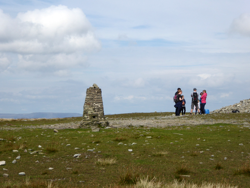
Ingleborough Top
Scroll down for photos and a description of the walk....
 |
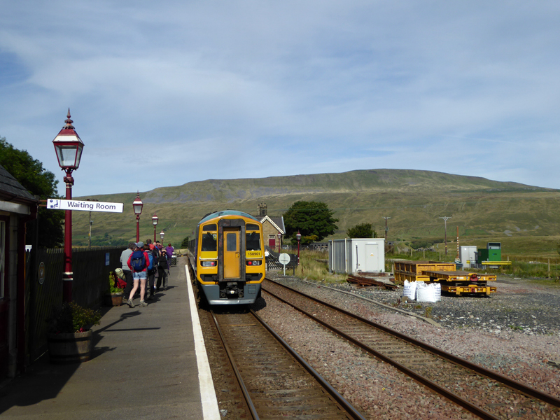 |
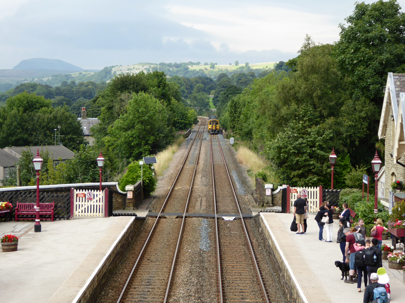
The 09:40hrs service from Hellifield arrived at Ribblehead 10:06hrs and it's looking good for walkers around the Yorkshire Peaks.
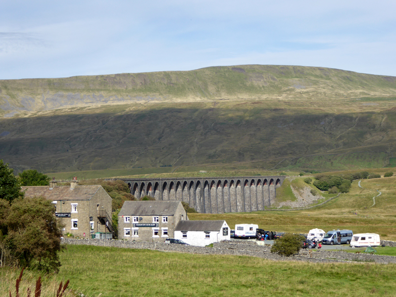
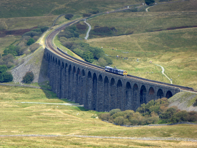
Ribblehead Viaduct
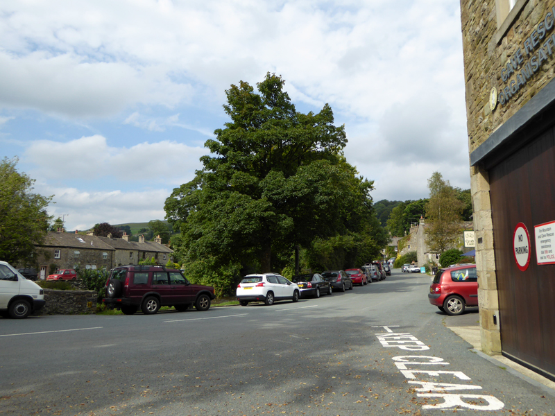
Maybe traffic is jammed on major routes on this Bank Holiday weekend; maybe it isn't, but I wasn't taking chances - it's a short 40 minute drive to Hellifield Station from home and the Settle / Carlisle line offers all manner of options to walkers and their dogs.
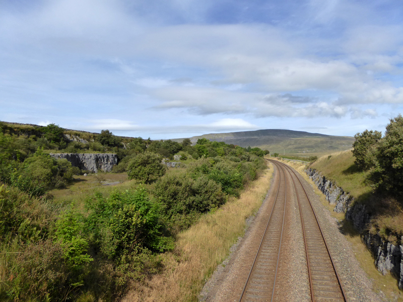
Settle / Carlisle Railway Line
"Network Rail have agreed a plan to repair the section of line closed as a result of a major landslip at Eden Brows between Carlisle and Armathwaite. Over 500,000 tons of embankment have slipped towards the river Eden below the line as a result of bad weather during December and January. The work is likely to take many months and as a result buses are replacing trains between Carlisle and Appleby. Trains are running normally between Appleby and Leeds." quote from the Friends of Settle-Carlisle Line website. The line is due to reopen in March 2017 - see link at the foot of this page.
 |
 |
Northbound Train |
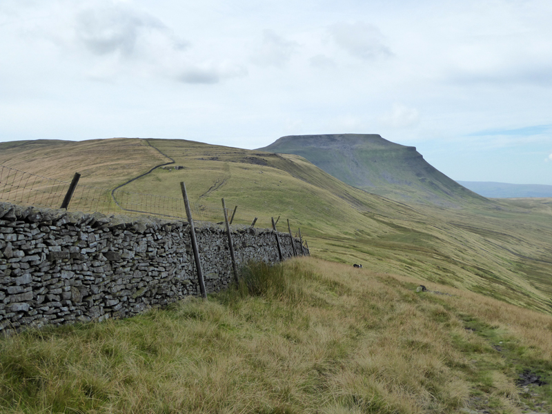
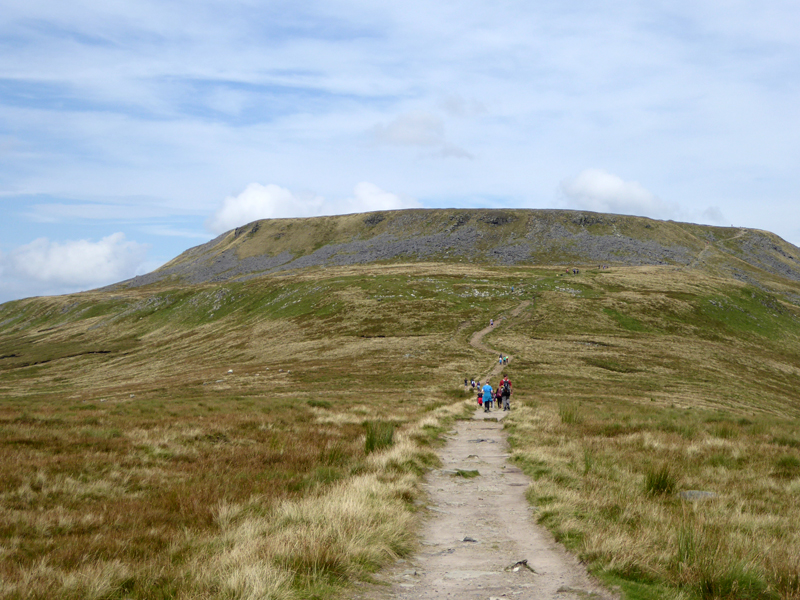
Park Fell |
Today, we walked up Gauber Road to the walk route up Park Fell. The weather is settled and somehow sublime - little in the way of wind, coolish (for summer) and the ground conditions are just a little soft after some recent rain.
Humphrey Bottom
Is the name given to the vast hollow on the northern side of the summit territory. Choosing this walk cannot guarantee peace and quiet throughout, but the ascent route is unfrequented and we only met two couples on the way to the main routes from other directions. And one of those was asking if they were heading in the right direction to get back to their car - which they weren't, but I made a few suggestions and off they went.
 |
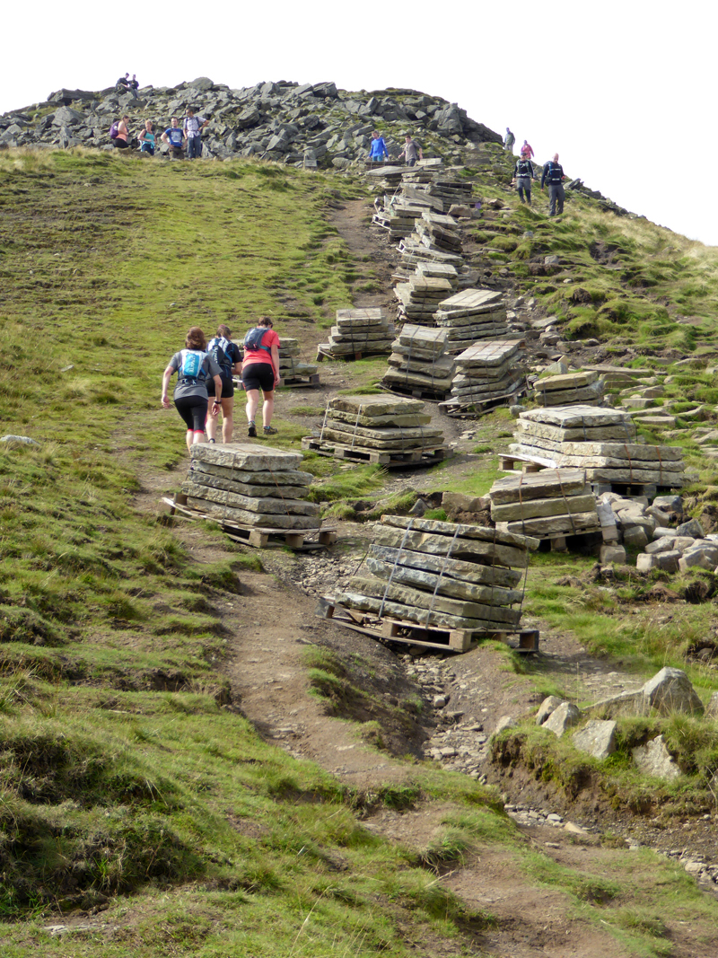 |
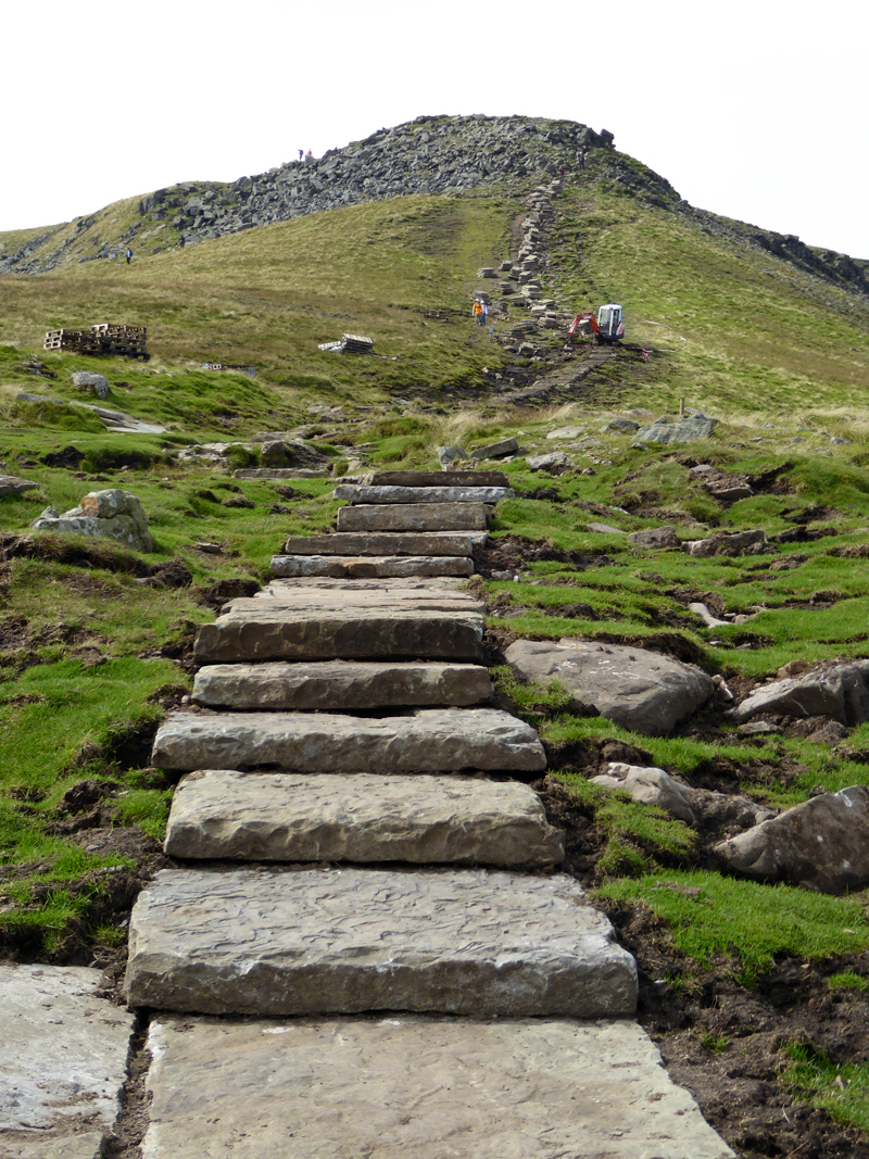
The Flags
A repair scheme is laying old mill flags on the route up to the summit from the north-east.
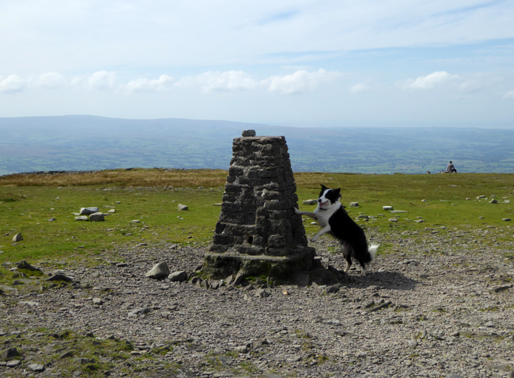
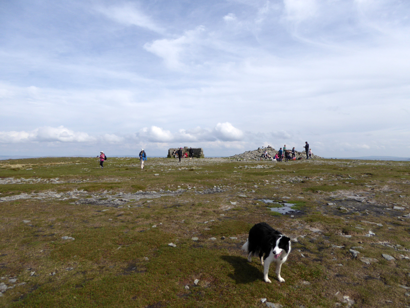
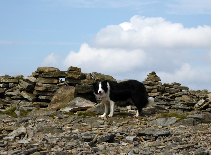
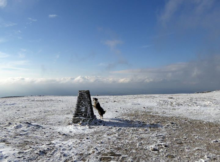
Molly at the top of Ingleborough
This is Molly's third time up here and our second visit this year.
 |
 |
The Highest Point 2,372ft asl |
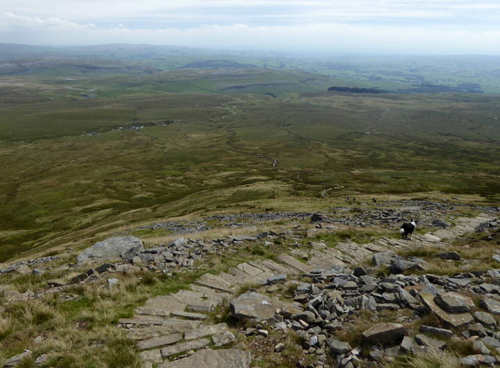
Summit Plateau |
Today's plan is to head south off the summit and visit Gaping Gill on the way to Clapham.
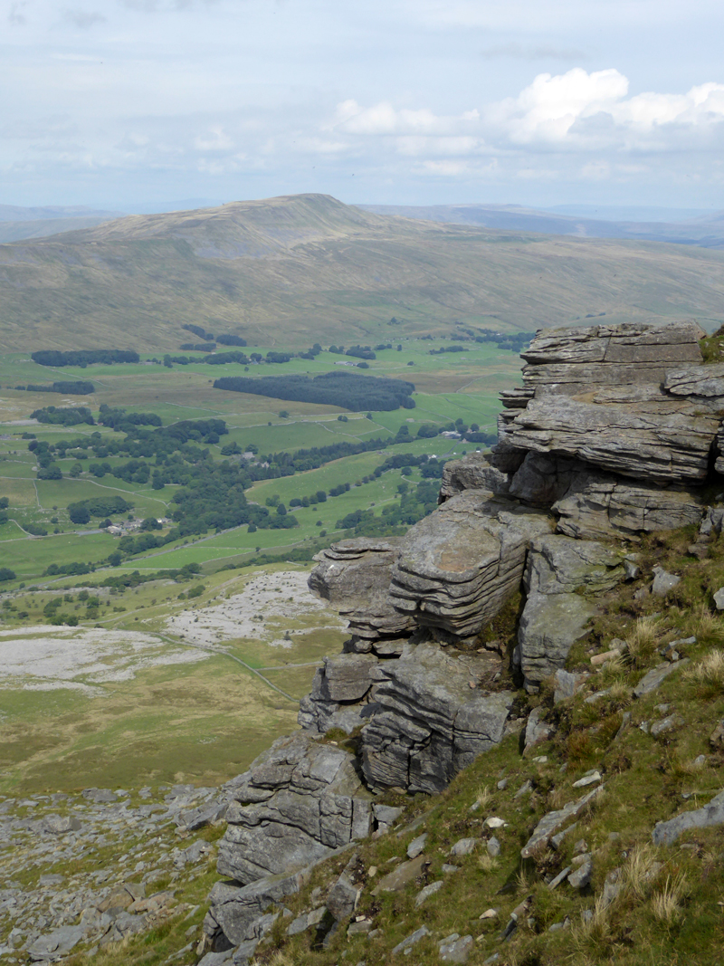
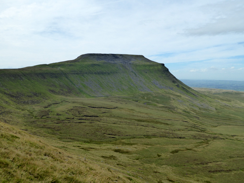
Whernside from Ingleborough
 |
 |
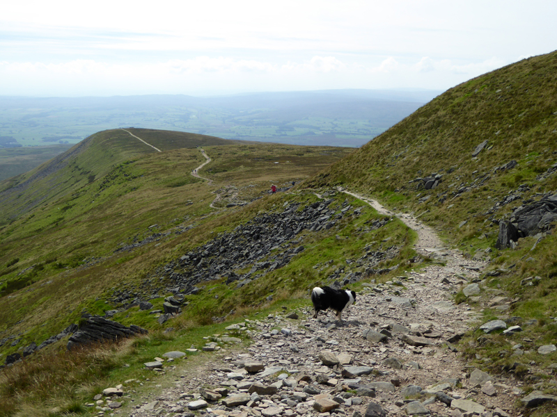
To Little Ingleborough |
Looking Back |
~~~
Little Ingleborough Shelter
It must be somewhere in the region of 40 years since I last walked the Clapham route to Ingleborough.
To Gaping Gill
Colours and shapes near Gaping Gill remind me that at this time of year, The Craven Pothole Club offer the facility for members of the public to enter the vast chasm of this huge pothole and cave.
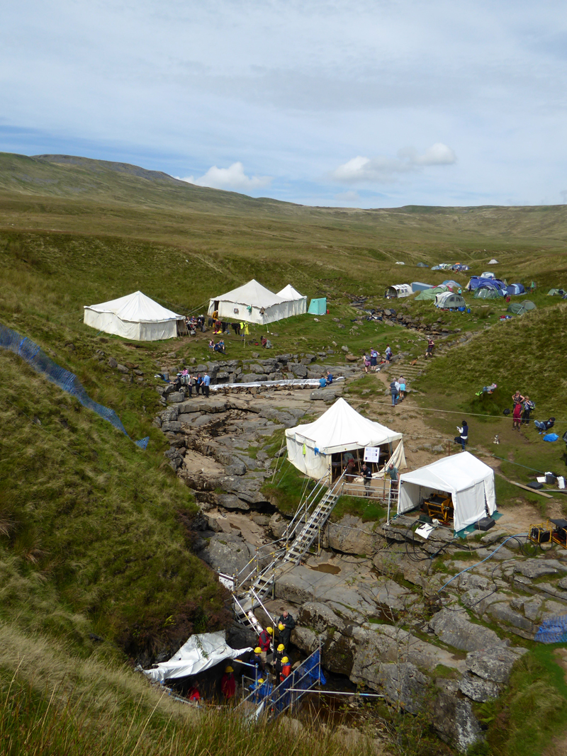
Gaping Gill
For £15, visitors can take the winch and descend the 340ft into the chamber below. See link at the foot of the page for details of this activity.
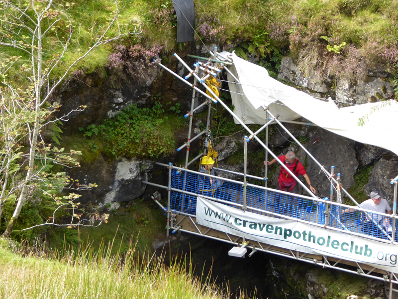
Down...
 |
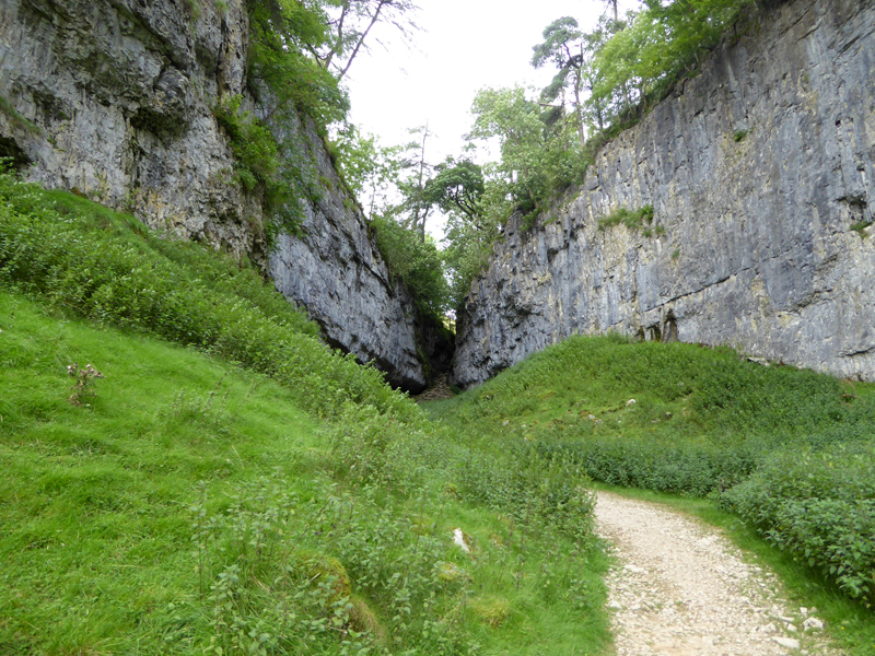 |
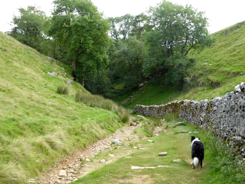
Into and then looking back to the narrow ravine in Trow Gill.
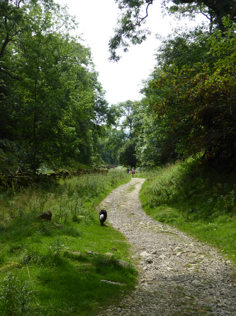
To Ingleborough Cave
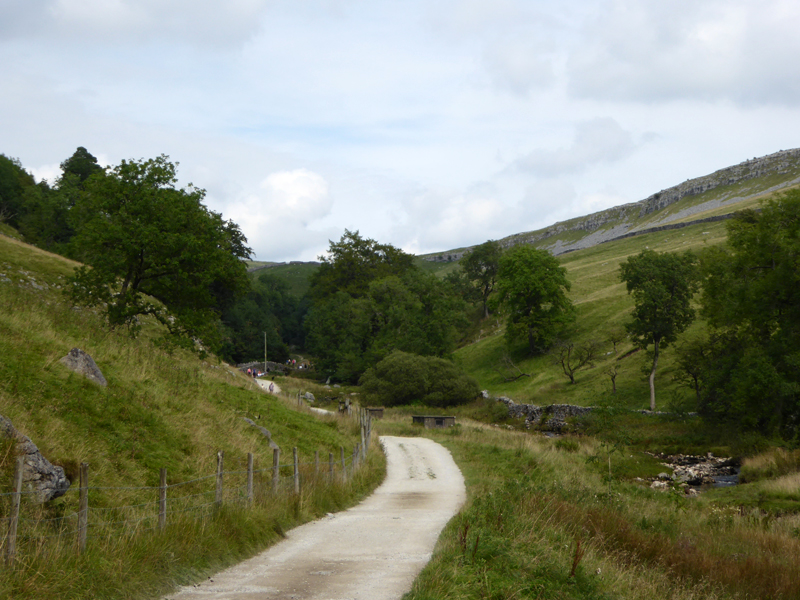
Clapham Beck
Looking back at Clapham Beck after passing the cave entrance. These caves along with White Scar were flooded earlier in the week, but it matters not as the caves are natural routes for water drainage and when the levels decline to their normal level, nothing much will have changed.
Clapham Village
We arrived on time for the 15:09hrs No.518 bus to Settle. Viva Public Transport! Use it or lose it - buses and trains can be great allies to walkers enabling linear routes and reducing the driving miles.
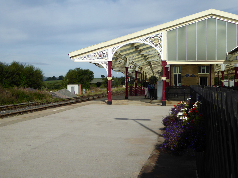
Settle Railway Station
The bus arrived in Settle in time for me to catch the 15:59hrs service to Hellifield. Knowledgeable observors may question why we got off a bus that was heading for Hellifield, to wait for a train that was also going to the same place. I can't really answer that, other than I like trains more than buses and I had bought a "return" fare earlier in the day.
Ingleborough, February 13th 2016
Walkers: Molly and Me.
Time taken: 5hrs over a distance of about 10 miles.
Route: Ribblehead Station, Gauber Road, Colt Park, Park Fell, Ingleborough, Little Ingleborough, Gaping GIll, Trow Gill, Clapham Beck, Clapham.
Weather and conditions: Calm, cool, sunny at times - ideal walking conditions.
Newtork Rail's Landslip Repair Plan - open the groundworks diagram if you are sufficiently interested in the engineering solution.
All photos copyright Richard Ratcliffe 2016 ©
Take me back to the start ....