
~Whitworth Circular~
16th May 2015
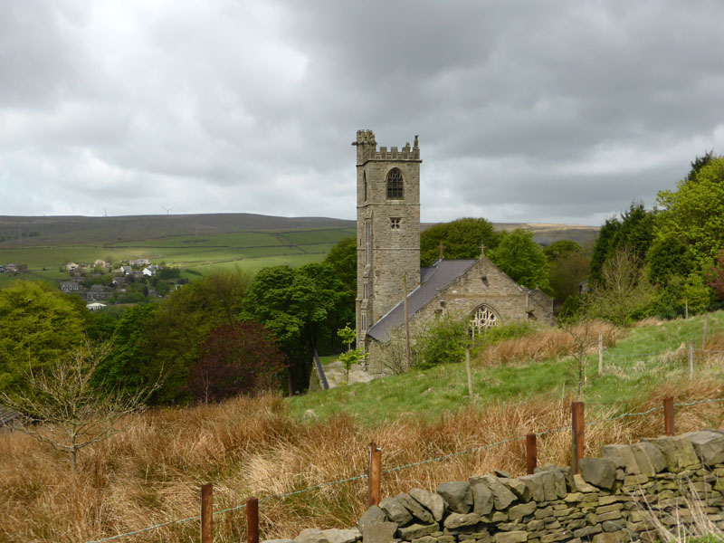
St.Bartholomew Chruch, Whitworth
Whitworth is a small town in East Lancashire, part of the Borough of Rossendale. Perhaps the history of this area is more interesting than the present...
 |
 |
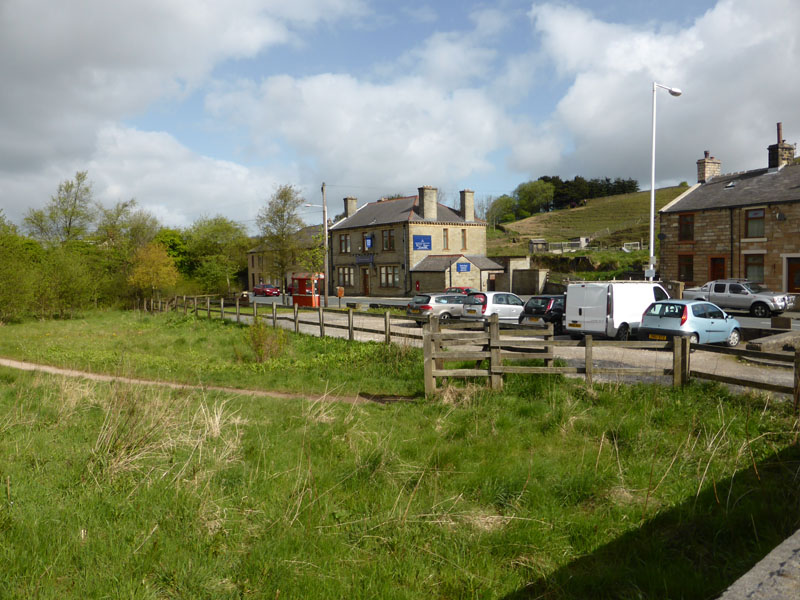
Car Park, Britannia |
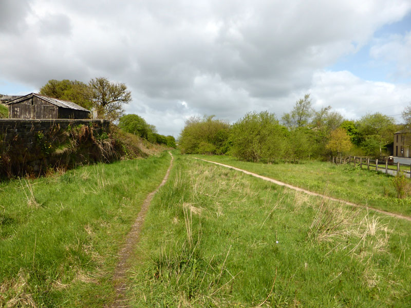
Bacup to Rochdale Railway Line |
We parked at the summit of the old railway line between Bacup and Rochdale. This was the highest point of the line and the highest point of the Lancashire & Yorkshire Railway network, 965ft asl. The blue-signed building used to be a pub. Peter Ratcliffe and Molly the Collie are with me today, we set foot at 09:30hrs.
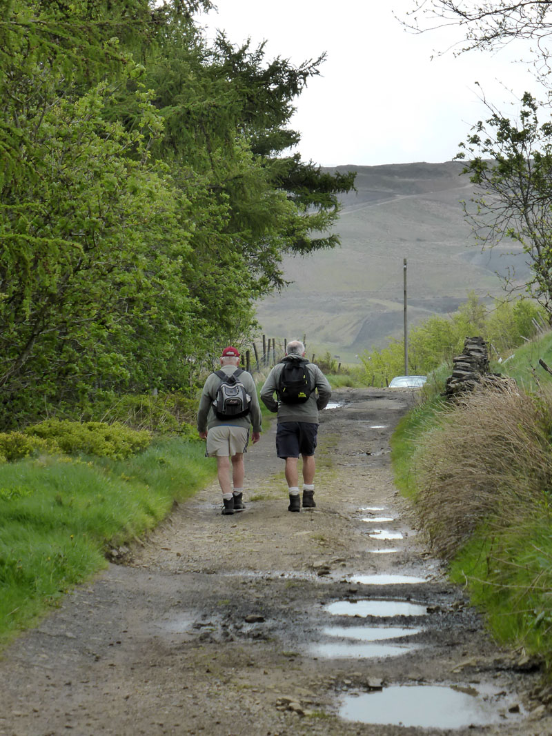
Walkers
As you can see, it's another less than ideal May day, dull and cool. This track is up the hillside above the railway route and leads south to Shawforth; that could be us in another few years.
 |
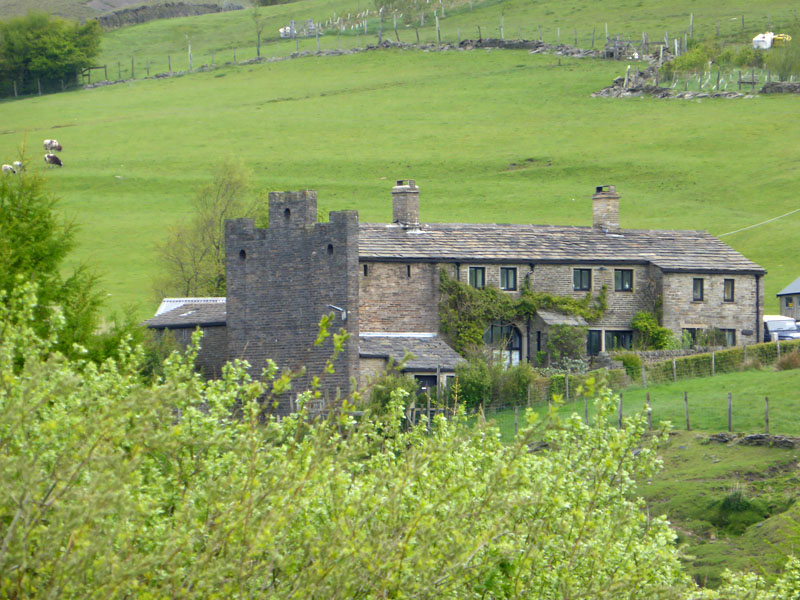 |
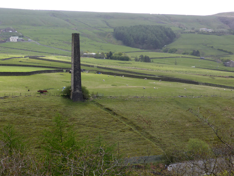
Detached Chimney |
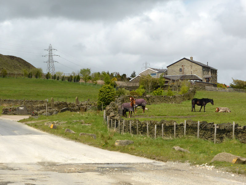
Gawmless End Farm |
The "Peel Mill" chimney has survived the passing of the mill itself. It's easy to see where the flue gasses were led up the hillside to the chimney. Gawmless End Farm has an unusual castellated facade.
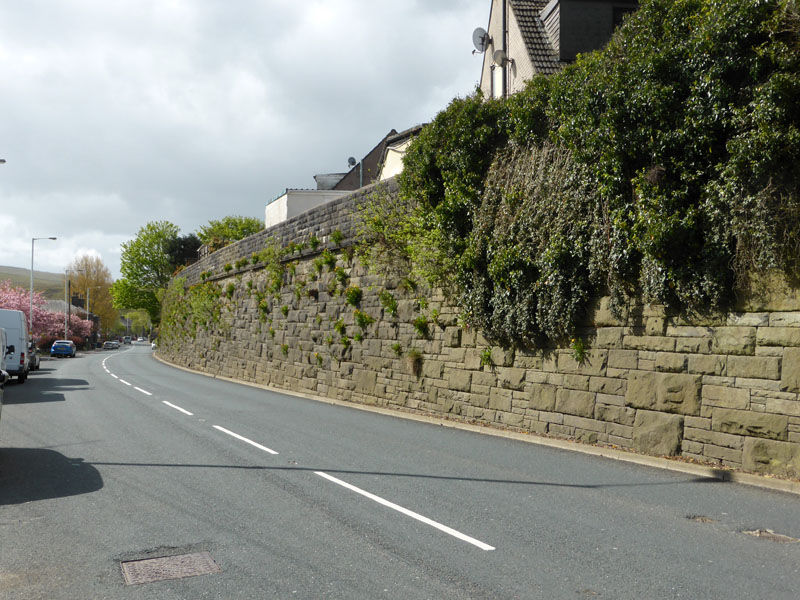
Railway Embankment, A671
We crossed the A671 to gain access to the countryside on the other side of the road. I wonder how many thousdands of motorists use this road without giving the railway architecture a second thought? This classic "big stones, little stones" - as I call it, is peculiar to railway building and very common in this part of the country.
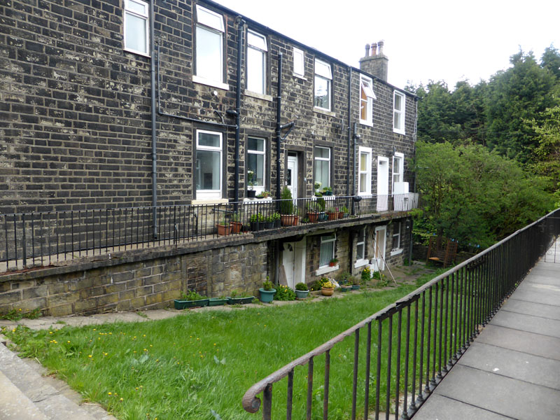
Jane Street, Whitworth
 |
 |
We started an ascent of Brown Wardle Hill with a walk through farm buildings and then a walk up a track, reinforced with many tonnes of crushed earthenware, giving the road a reddish appearance.
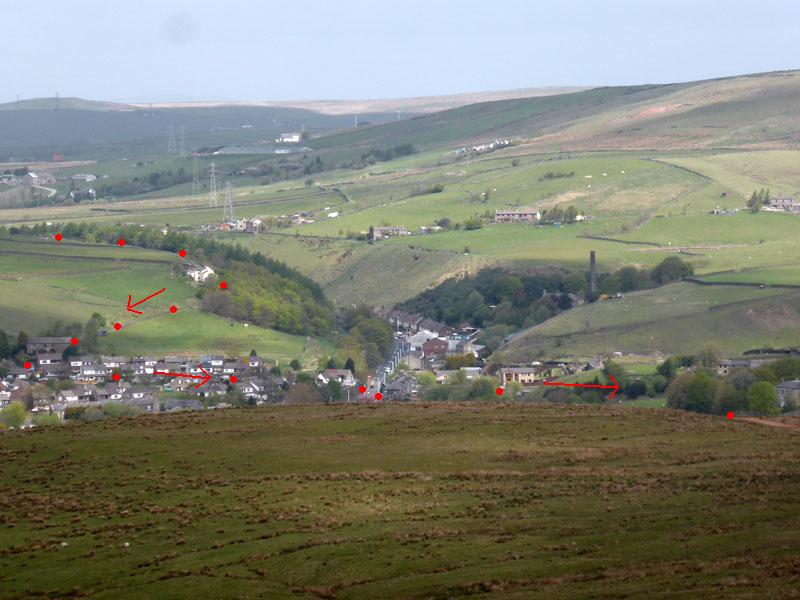
The Walk Route
Looking back, the red dots have been placed on the photo to show the route so far. Shawforth is in the valley, coud this be an "over-deepened" valley - caused by glacial action? We are on Whitworth Lower End Moor.
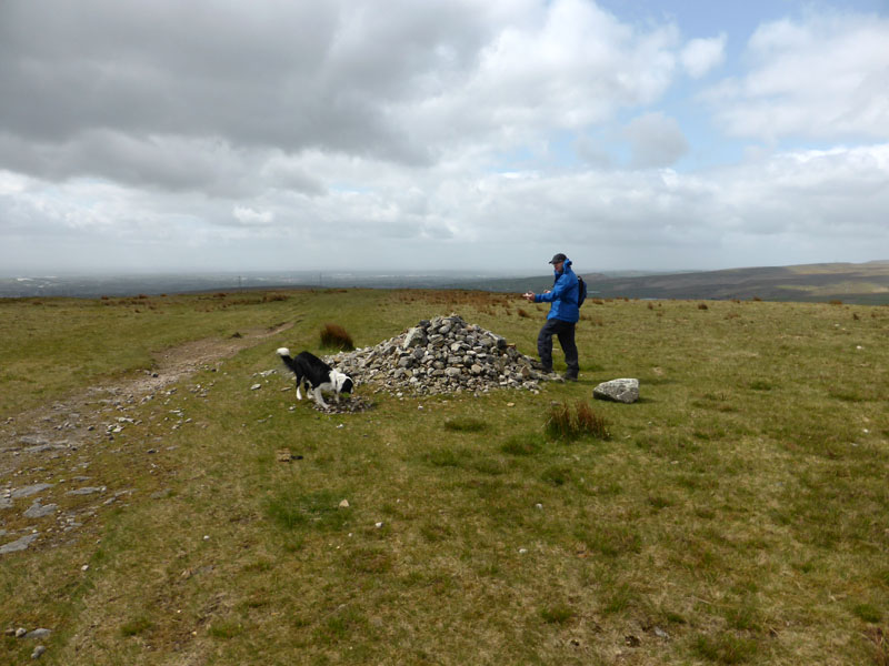
Brown Wardle Hill 1,312ft asl
Soon we reach the top of Brown Wardle Hill. Trigspotters come up here to see where a Trig Point used to be. Oh the joy of lists and the obsessions they generate!
 |
 |
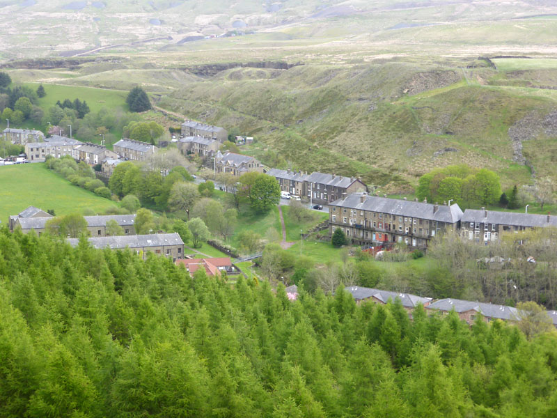
Cowm Reservoir, above Whitworth and Tong Mill in the town.

Wallbank
The village of Wallbank and Spring Mill Reservoir as seen from our descent. We cut off and headed down the hillside (close to Pot Oven Farm) through the farmland (official path) to join a right of way along a lower contour above the valley.
 |
 |
Farmland Path |
High Barn Farm |
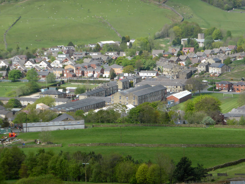
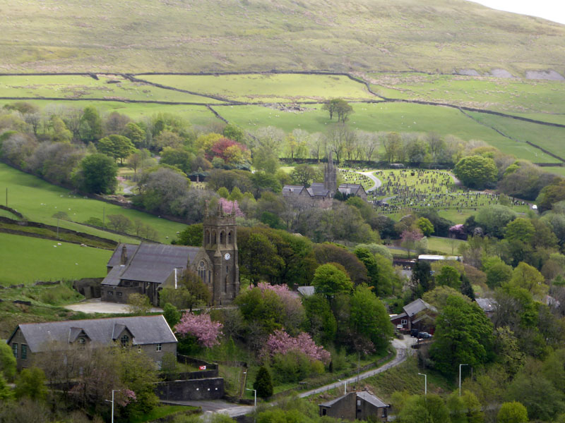
Using the correct 1:25,000 OS Map, we found the path leading into Whitworth which gave us the best view of St.Bartholomew Church.
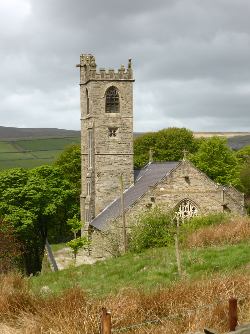
St.Bartholomew Church
 |
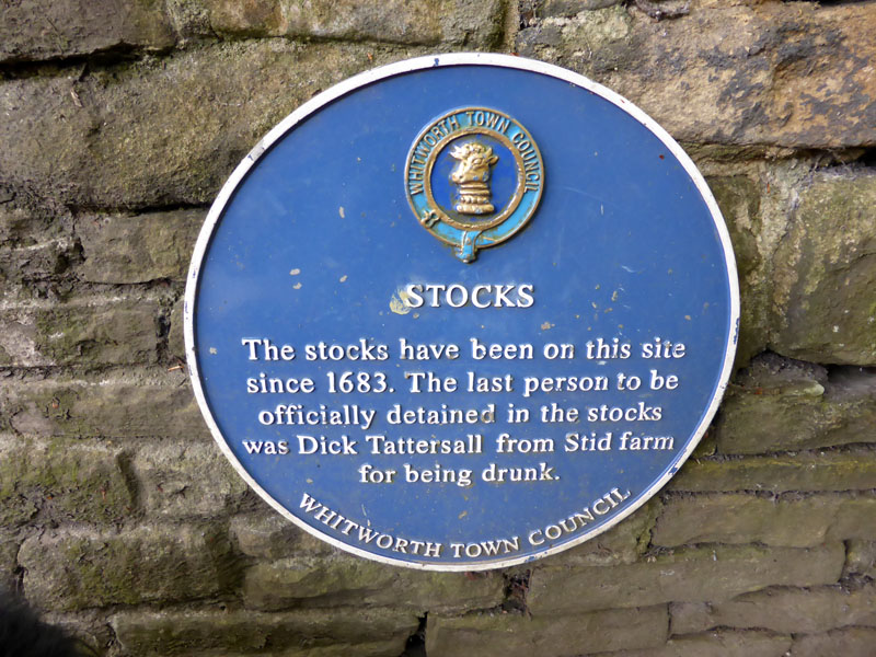 |
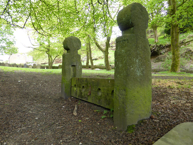
The Stocks
The stocks are now redundant, but how busy might they be nowadays if Dick Tattersall's sentence was applied to the inebriated of today?
 |
 |
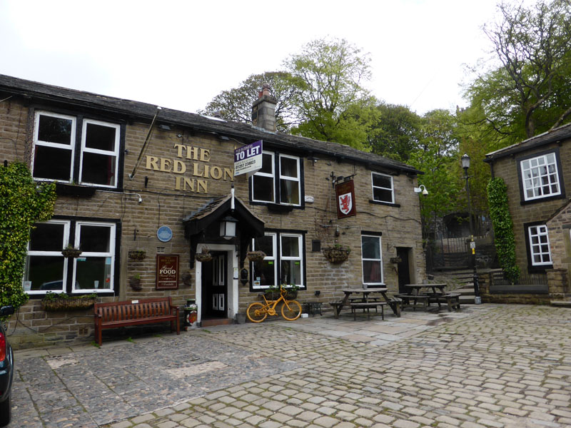
Red Lion |
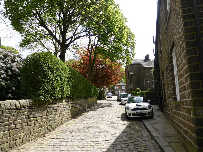
Cobbled Street |
Whitworth has an absurd number of "blue plaques", in the cobbled streets on the east of the centre of the village, it's unusual to find a building without some referance to the past. Things happened here and people lived here, then they died.
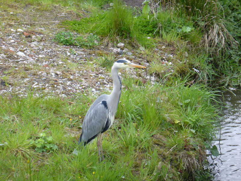
Heron
We took Cowm Park Way to find our lunchtime spot. The heron was quite tame and maybe is used to being fed by locals. The road mentioned runs on the route of the disused railway track.
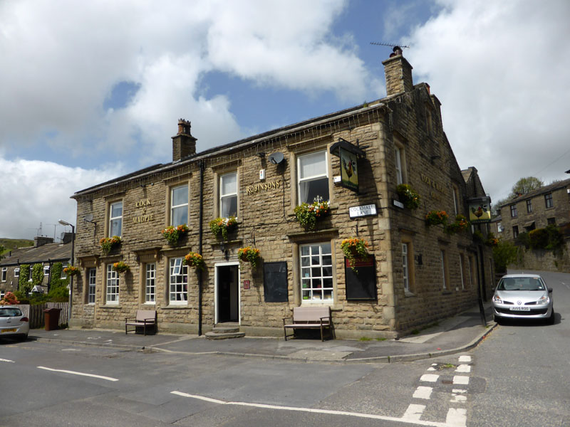
Cock & Magpie
Having researched the matter, we took a light lunch here. Dogs allowed in the tap room and we chose from a full menu, the food was good and service excellent.
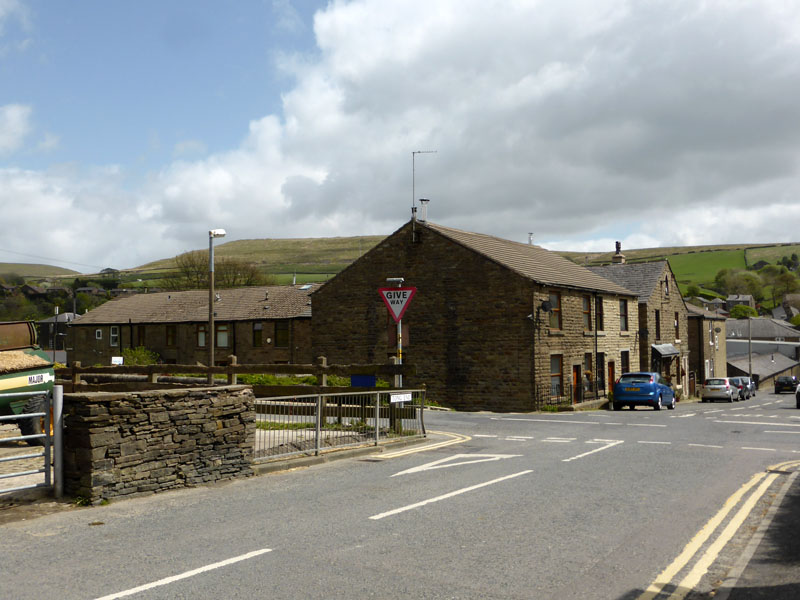
Tong Lane
Just a crossroads, like any other? There would have been a railway level-crossing here, the line closed to passengers in 1947 and all traffic in 1967. When railways closed pre-Beeching, I tend to think that they really were uneconomical and beyond reprieve. Much of the goods traffic would have been stone from the quarries at Brittania and Facit.

Path to High Barn Lane
So, we are now on the other side of the valley and gaining height again.
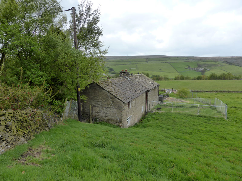
Cowm Top Farm
The footpath routes around the back of the farm, adjacent to Facit Quarry and then we start to drop back into the valley.
Facit Cemetery
Shawforth
 |
 |
We descended through the woods, crossed an old quarry incline and dropped into Shawforth.
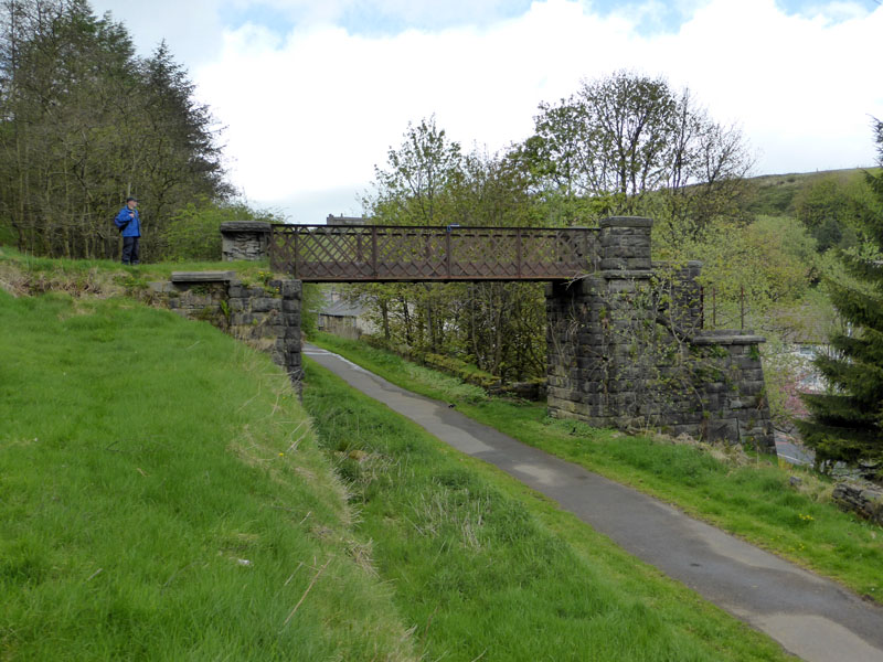
Lancashire and Yorkshire Railway Metal Bridge
The last of its kind in the district. Now here's one that should have a blue plaque and maybe ought to be "listed". The one at Haworth on the Worth Valley Railway is a similar design, do you know of any others?

Last Bit
The final stretch on the way back to the line summit and the car park. Landscapers have filled in the cutting and much of the route is now accessible to walkers and cyclists.
7.5 miles, taking 4hr 30mins, includes time spent in the pub.
Used to be's: Pubs, Quarries, Railway Line, Stations, Mills, Stocks, Trig Point, Sunshine etc.
All photos are copyright Richard Ratcliffe 2015 ©
Take me back to the start ....