
~Mytholmroyd to Todmorden~
30th May 2015
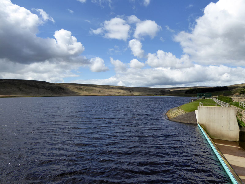
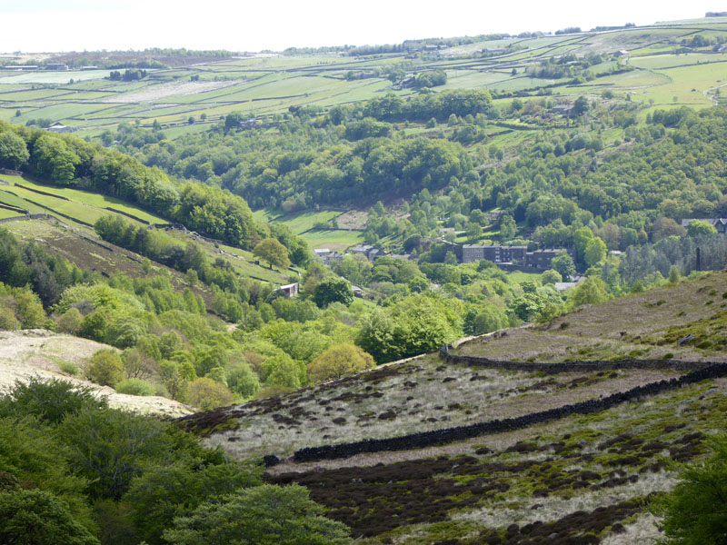
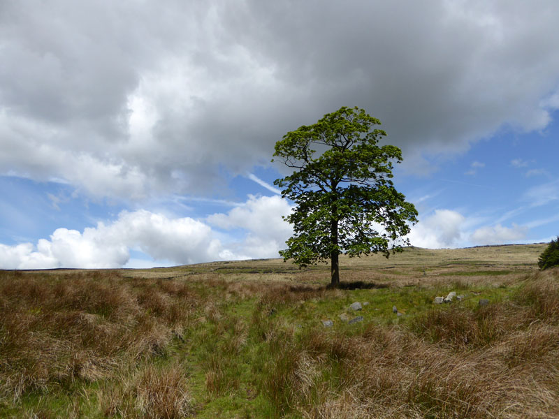
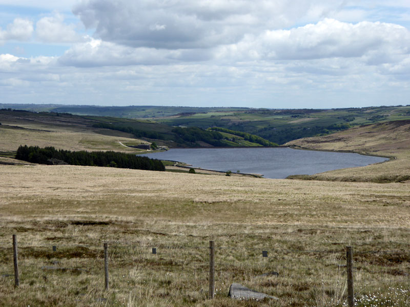
Withens Clough Reservoir
An opportuntiy to take a look at Cragg Vale with this walk from the railway station at Mytholmroyd, on the Calder Valley Line.
 |
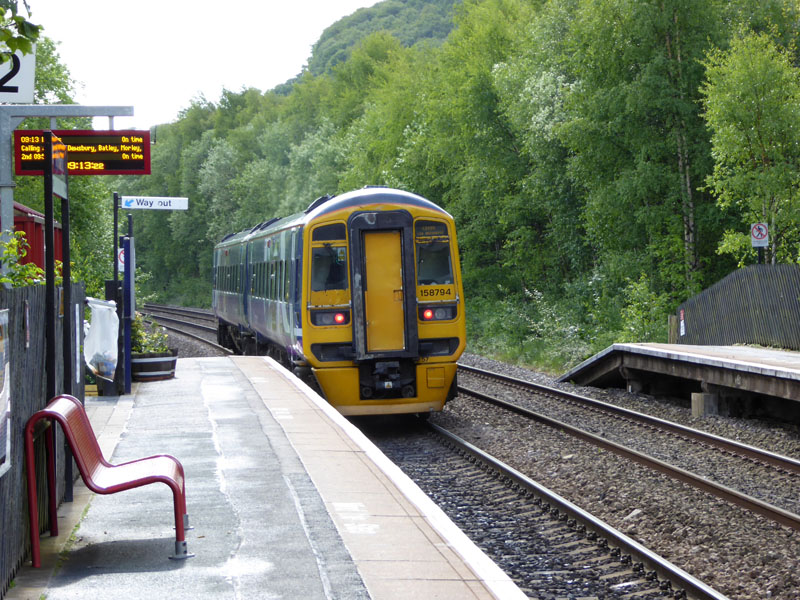 |
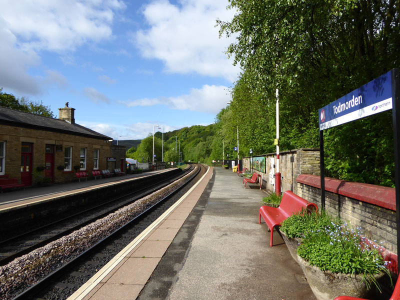
Todmorden |
Mytholmroyd |
It's a ten minute train journey from Todmorden to Mytholmroyd; it'll take a little longer to walk back over the "high" route - the pleasant alternative being a stroll along the canal.
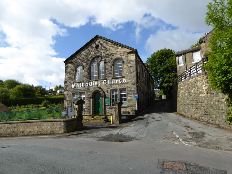
Mytholmroyd Methodist Church (Obviously!)
The walk started from the railway station, under the line, left at the village crossroads and up Hall Bank Lane to the right of the church.
 |
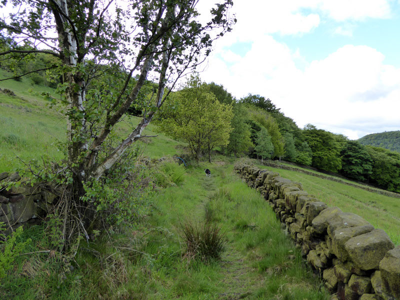 |
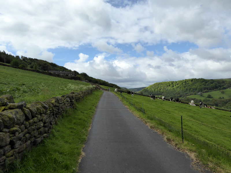
Farm lane and then grassy path to Hollin Hey Wood - on the east side of Cragg Vale.
 |
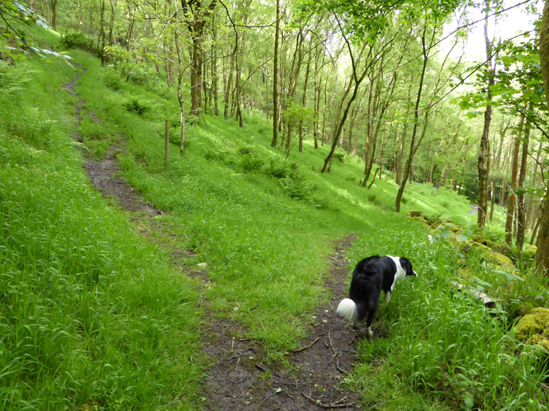 |
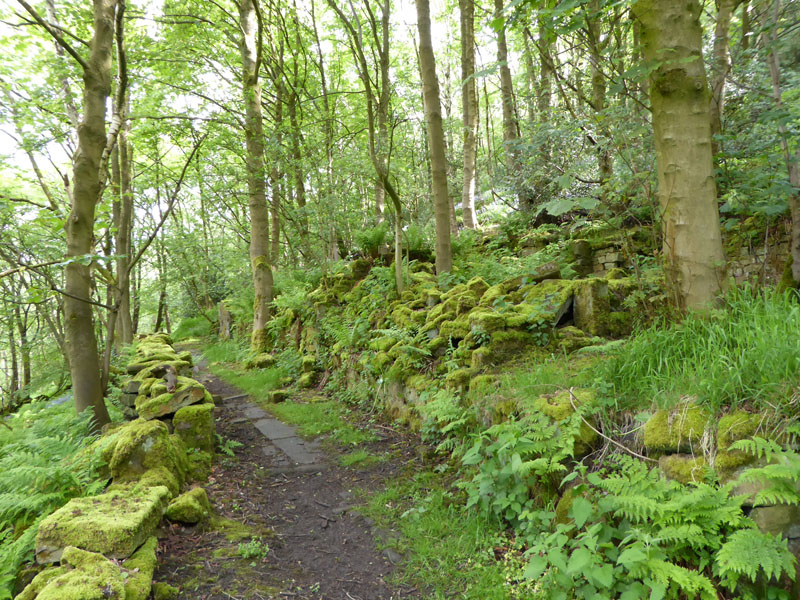
Hollin Hey Wood
A rich deciduous woodland with plenty of paths and a few ruins.

Whams Wood
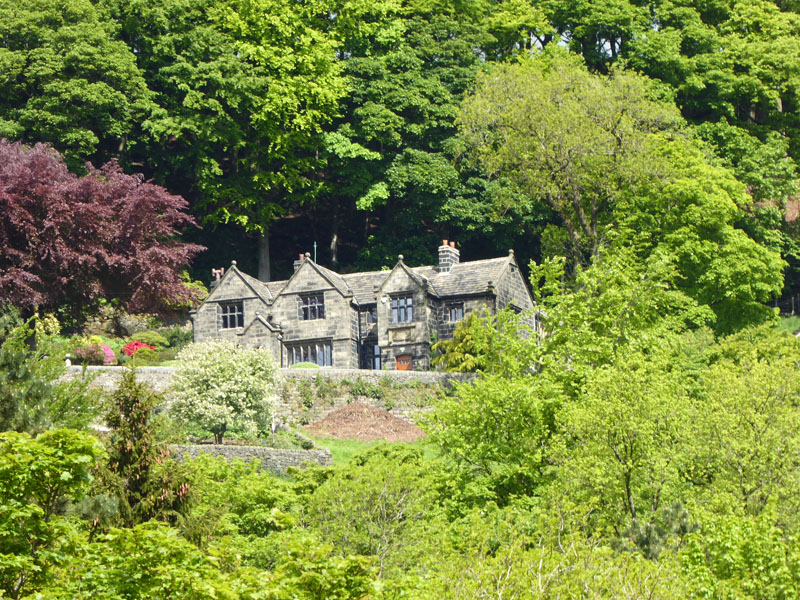
A terrace of house above Cragg Road and Whams Wood on the opposite hillside.
 |
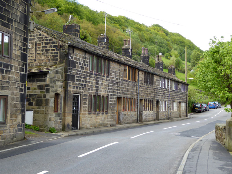 |
Robin Hood Inn |
Cragg Road |
The Robin Hood Inn is for another time. They are believed to welcome dogs (and cyclists) - another part of last year's Tour de France.
"Cragg Vale from Mytholmroyd on the B6138 road proudly claims to be the longest continual ascent in England. 968 feet of climbing in 5.5 miles. It is not steep, just a classic long drag – a power climb with an average gradient of just over 3%." from Cycling Uphill - website.
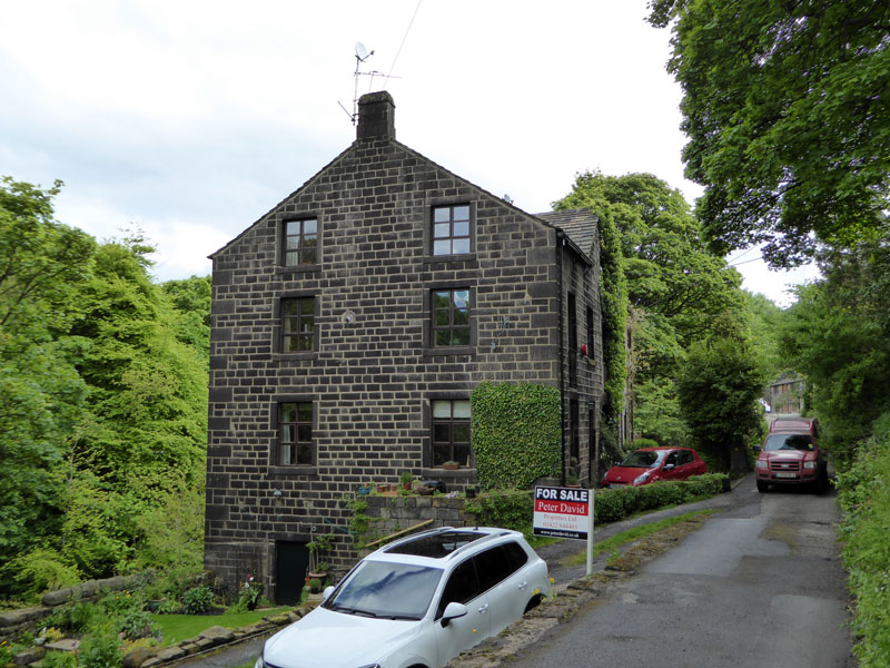
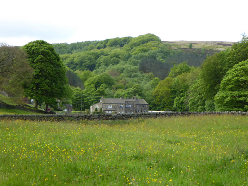
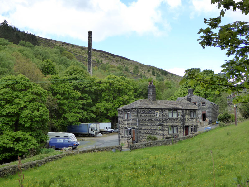
Cragg Vale
The similar property behind me is for sale at £315,000. These houses are down a lane off the main road, the postman delivers in a 4x4. This is a wonderful place for the eyes and feet of those who have not been here previously.
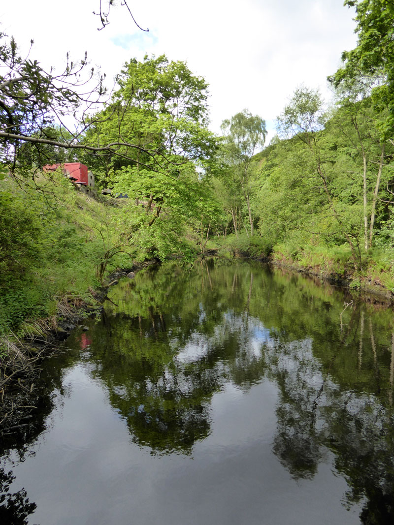
Mill Pond
There used to be mills in Cragg Vale and this reservoir would have been vital for the supply of water to the boilers - or maybe, earlier, for the water-wheels.
 |
 |
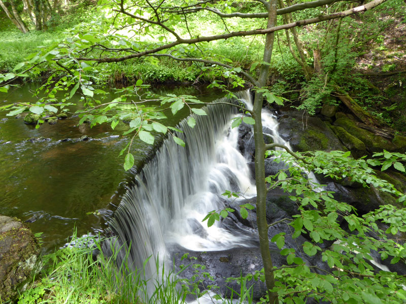
One of the weirs and then meadows on the walk to the village of Cragg Vale.
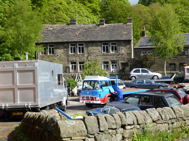
Bedford Lorry
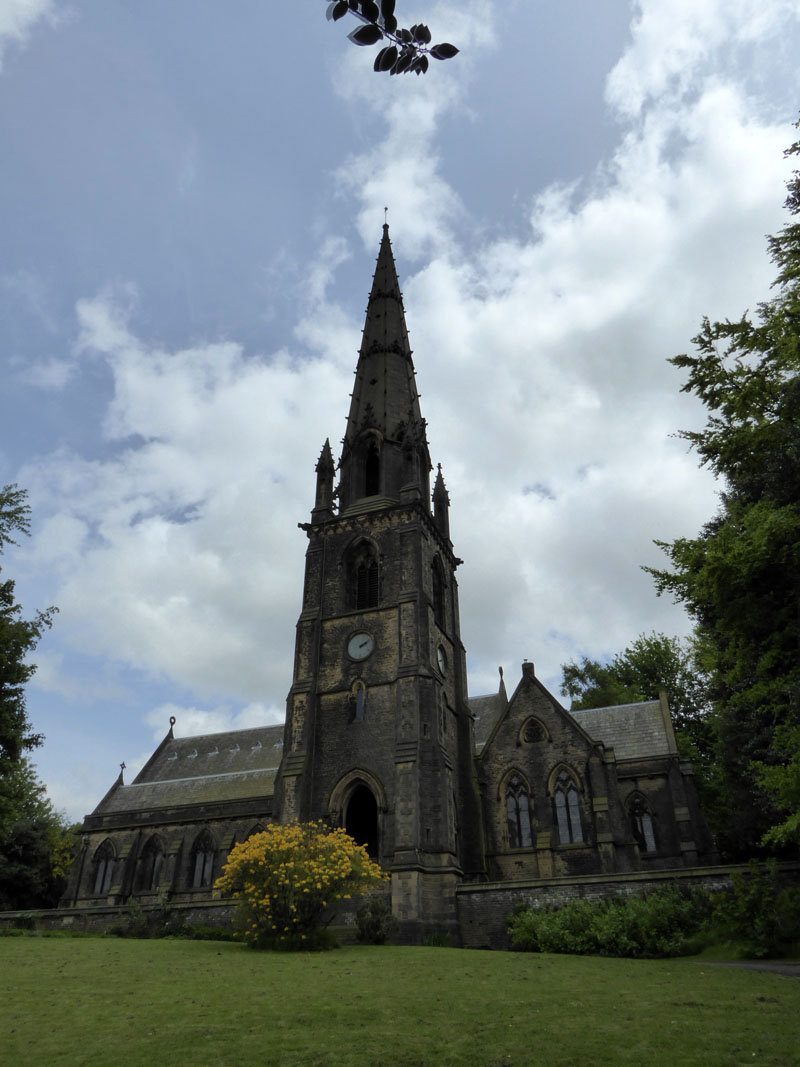
The vehicle enthusiast is attending to his classic Bedford truck. Just around the corner is the imposing church of St.John The Baptist In The Wilderness - what a grand name!
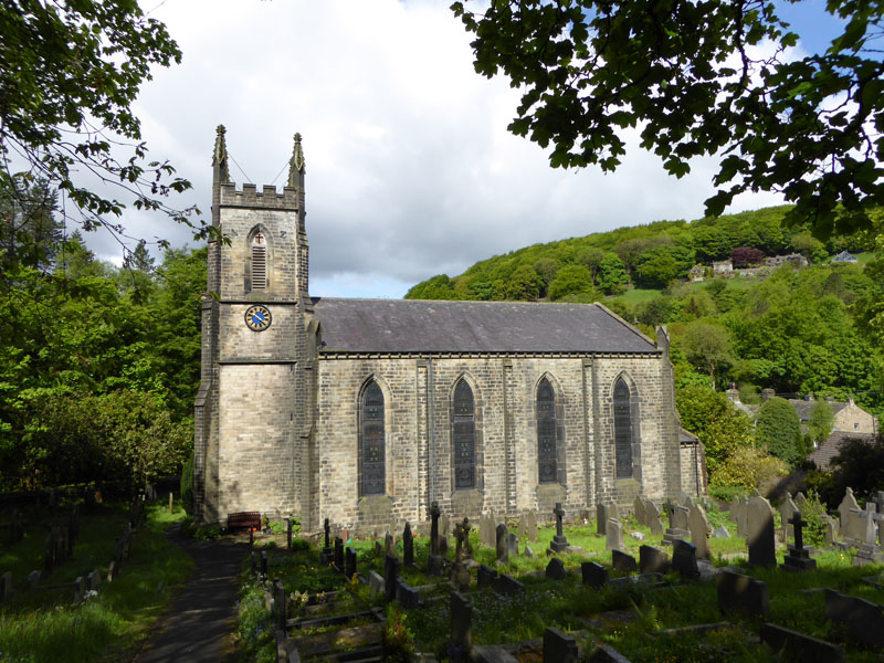
St John The Baptist In The Wilderness (1839)
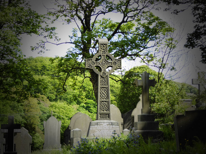
One grave bears the name of Ellen Rigby; do the sermons get heard by anyone, nowadays?
 |
 |
 |
 |
More views from Cragg Vale. Look at the desirable residence up there in the woods! The Hinchcliffe Arms welcomes dogs, according to the neighbour I met. Another chimney outlives its industrial premises.
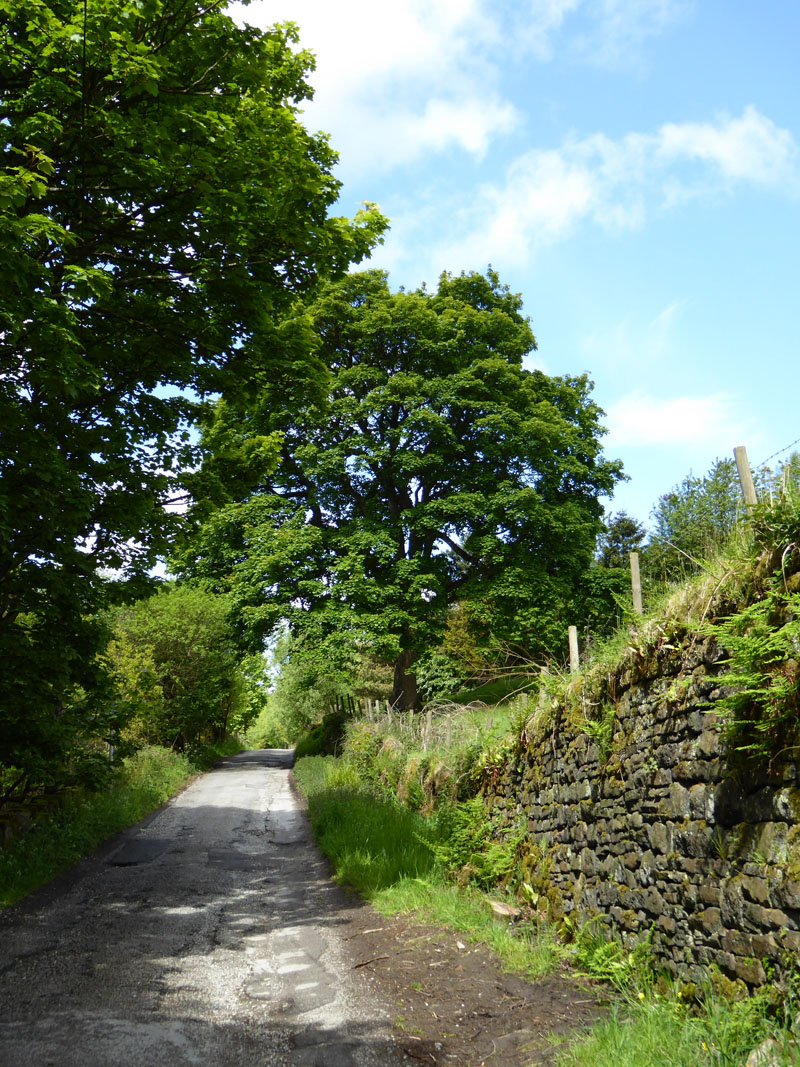
To Withens Clough Reservoir
A steady climb takes walkers up to Withens Clough Reservoir.
~~~
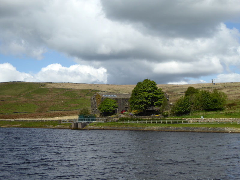
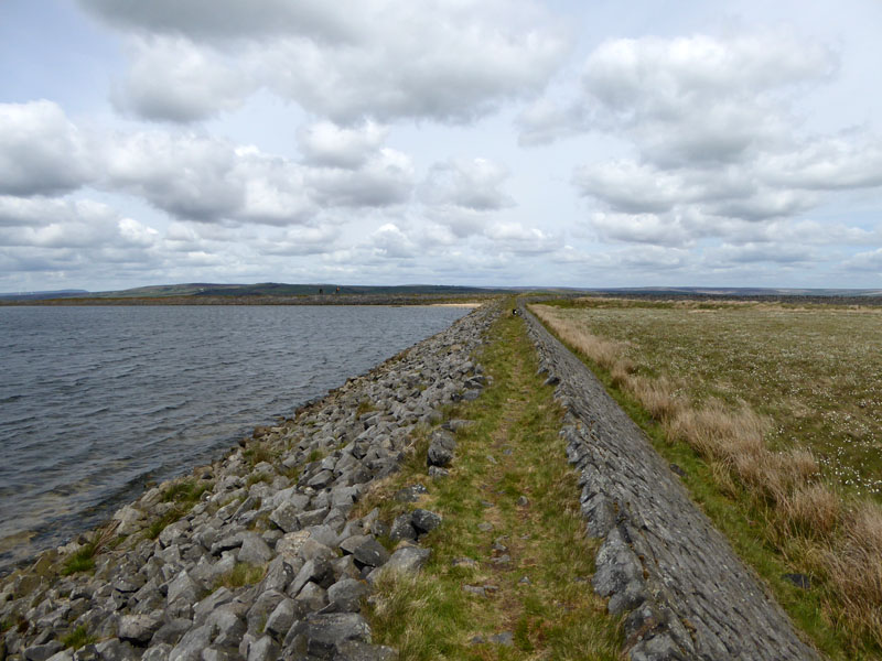
Withens Clough Reservoir
There is a permissive path around the east and south of the reservoir (left of the photo) and the Calderdale Way follows the north shoreline. We head along the dam and along the south side, close to the water.
 |
 |
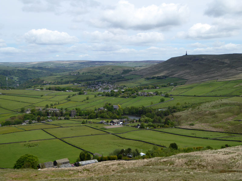
Cragg Vale |
Reservoir Houses |
It is possible to drive up to the dam and park for the 2 mile walk around the perimeter.
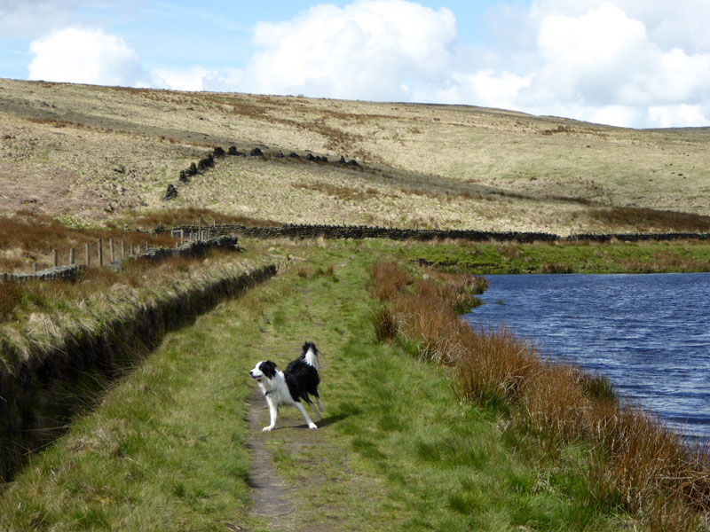
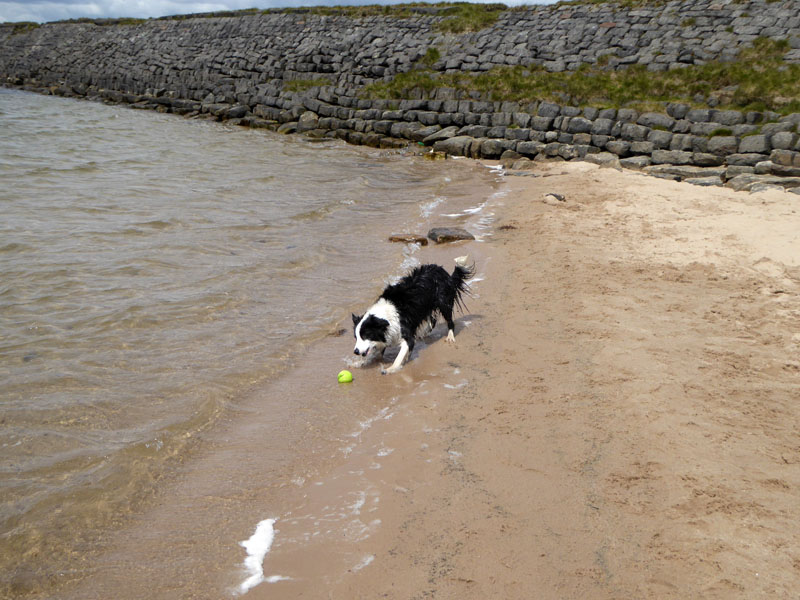
Happy Molly
It seems like good sense to me for us to walk closer to home on these fine hills and open spaces. We will save the Lake District for camping trips, fine days (!) or big walks when the walk time far exceeds the travel time.
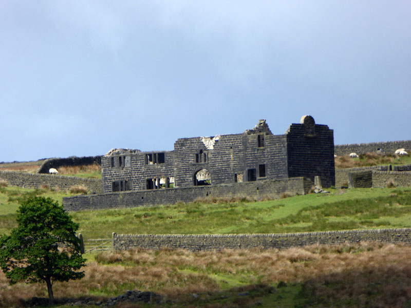
Red Dykes Farm
The abandoned farmhouse of Red Dykes is high up on the hillside. At over 1,000ft above sea level, it is hard to imagine the struggles and even the pleasures of living and working up here. What happened? Walls, gates, sheep, the odd tree remain; but the roof, the folk, furniture and feelings have long since departed.
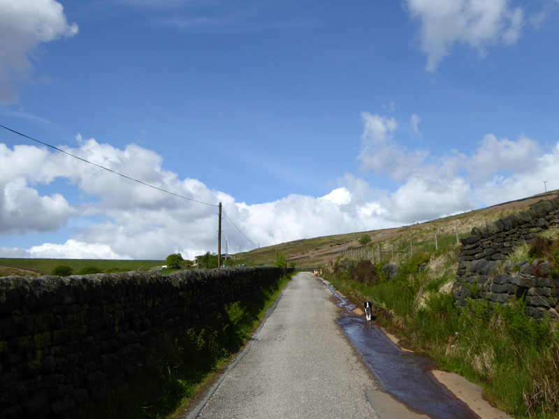
To Withins Gate
A rather boggy track leads up to Withins Gate, where our path joins the Pennine Way.
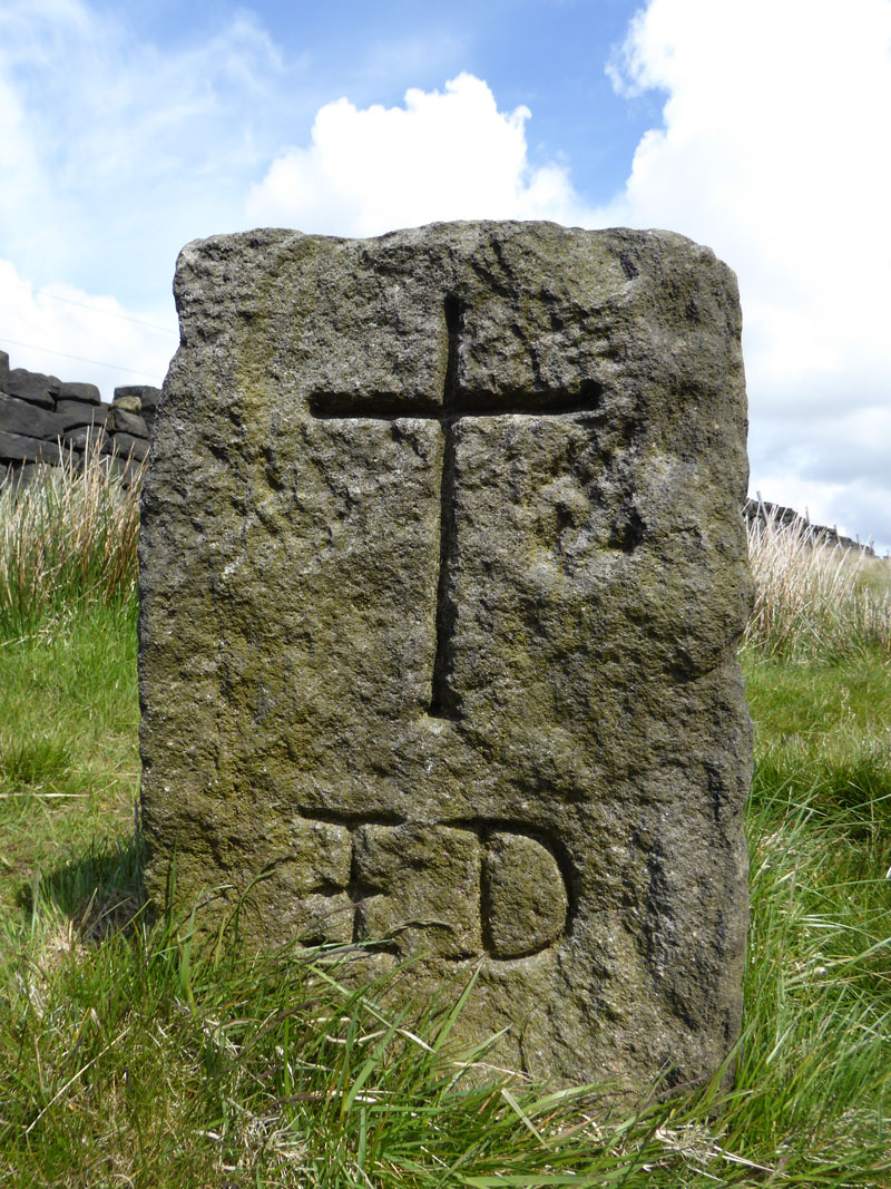
te deum stone
An old coffin rest on the route from Cragg Vale to Lumbutts. On one side the carving reads: Te Deum Laudamus which I read is translated to "We praise thee O God".
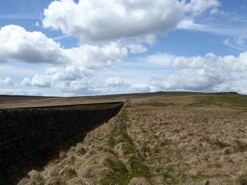
Pennine Way
Our route across the moors, along part of the Pennine Way. Withins Gate is an upland crossroads at the top of ancient passes between the valleys.
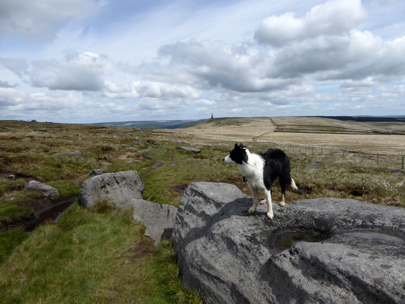
Moorland Gritstone
These remote rock tors come complete with drinking bowls for dogs and Molly had a sip. Stoodley Pike is further away.
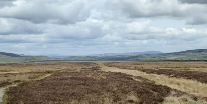
The Reservoir
Looking back to the reservoir and Cragg Vale in the distance.
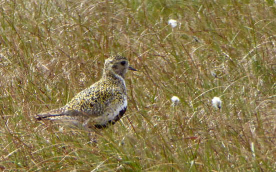
Golden Plover
This upland visitor wins "Bird of the Day" from this walk. My new Panasonic "Advanced Compact" is the TZ60, which has a viewfinder - this enables me to take better zoomed photos. And before you say, get a big expensive camera with a tripod - that's not my way, I am a walker taking photos, nothing more! We followed the route of the Warland Drain as far as a flagged track to Gaddings Reservoir.
To Gaddings Reservoir
Pendle Hill is in the distance.
 |
 |
Gaddings Dam |
Gaddings Reservoir Beach |
Sunbathers come up here on hot sunny days. None have been seen this year so far!
Lumbutts
The hamlet of Lumbutts and a patchwork of green fields. We are en route for our lunchtime target of The Old Shepherd's Rest on Lumbutt's Road, above Todmorden.
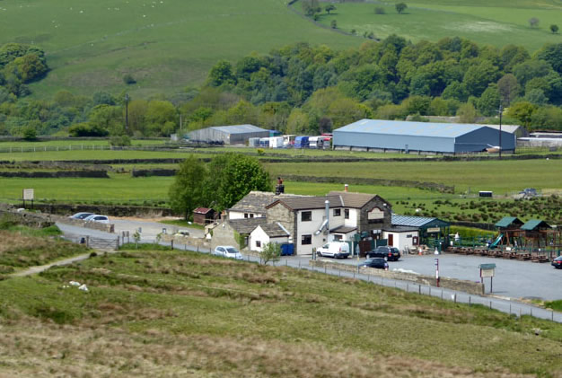
The Shepherd’s Rest Inn
Dogs, not just accepted, they are welcommed. A full menu on offer, including snacks. Highly recommened by me, you'll find it on Lumbutt's Road above Todmorden, if you happen to be over that way.
 |
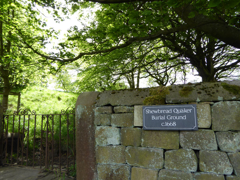 |
To Todmorden |
Quaker Burial Ground c. 1668 |
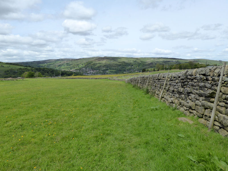
The field and track route down to Todmorden is an easy pleasant walk passing the Quaker Burial Ground and then the Unitarian Church.
Todmorden Unitarian Church
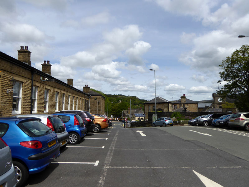
Todmorden Station Car Park
9 miles, taking 5hrs, time includes the refreshment break at the pub.
Route: Todmorden to Mytholmroyd by rail. Up Hall Beck Lane and into Hollin Hey Wood, Cragg Road, Cragg Vale via the beckside, Withins Clough road and reservoir, Red Dykes Farm, Withins Gate, Warland Drain / Pennine Way, Gaddings Dam, down the hill to Shepherd's Rest Inn. Third turning off Lumbutt's Road for a route down to Todmorden and back to the car at the station.
Refreshment Review: The Shepherd's Rest Inn - as stated above, I recommend this place to walkers, certainly those with dogs. Good food, great service, reasonable prices, fine selection of beers.
Weather: Dry, Mainly Sunny and Breezy.
Another walk from Mytholmroyd - one year ago.
Keep an eye out for more walk reports from the stations of The Calder Valley line and the route to Manchester.
All photos are copyright Richard Ratcliffe 2015 ©
Take me back to the start ....