
~Cold Pike to Bowfell~
21st March 2015
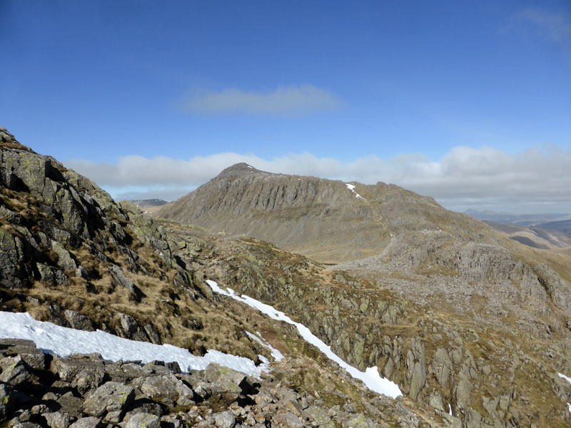
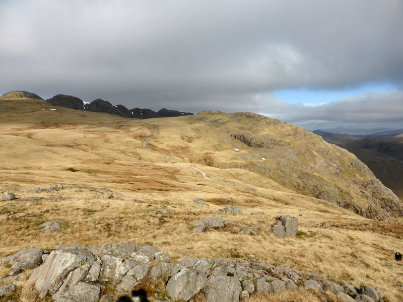
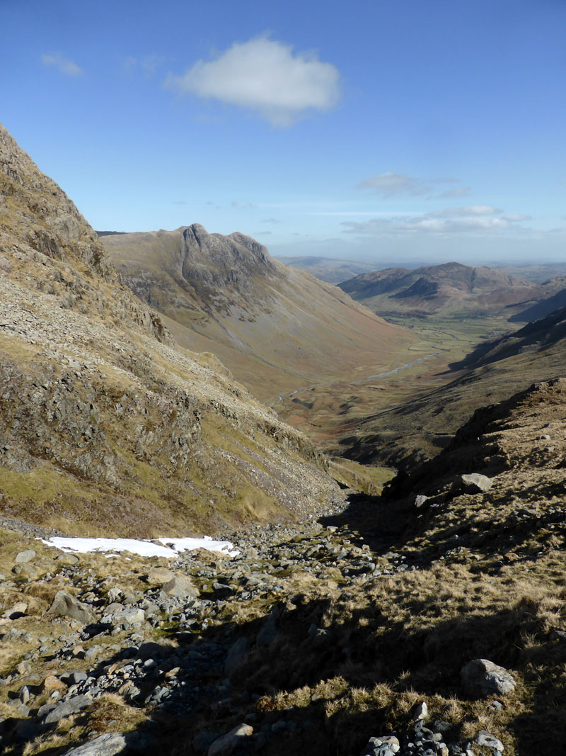
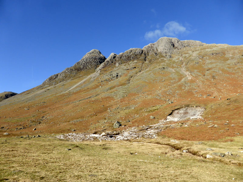
Bowfell from Crinkle Crags
Given the relative sparsity of fellwalking opportunities that have come my way recently, I chose to visit a couple of "old friends" and for good measure, took one with me!
 |
 |
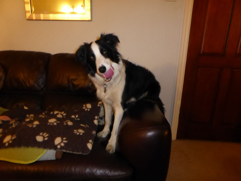
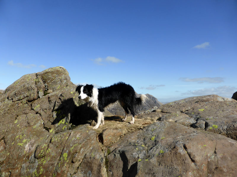
Molly Listens |
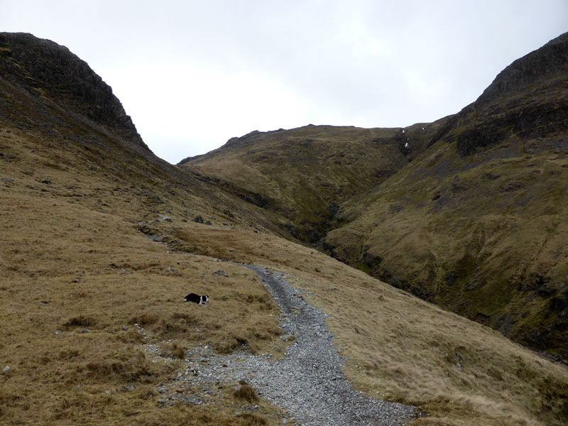
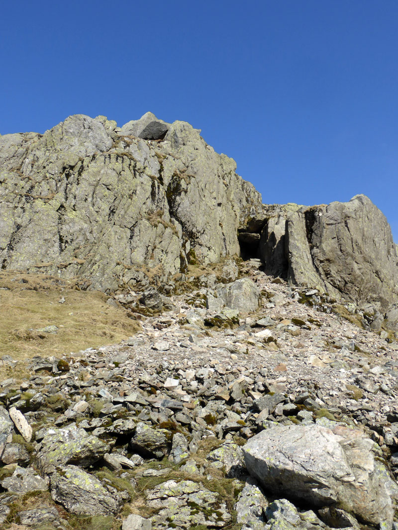
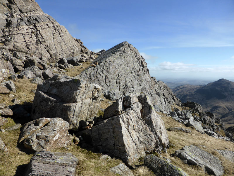
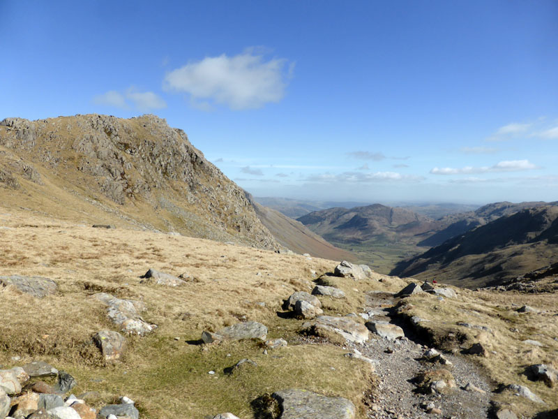
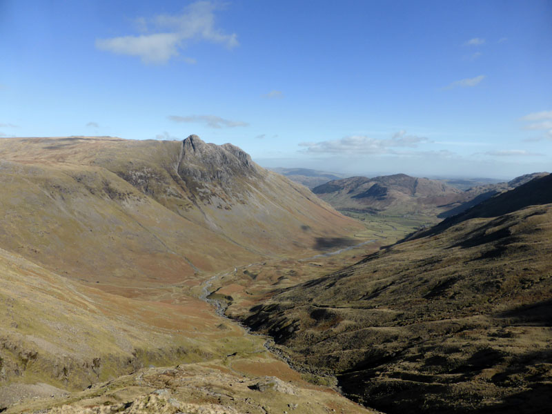
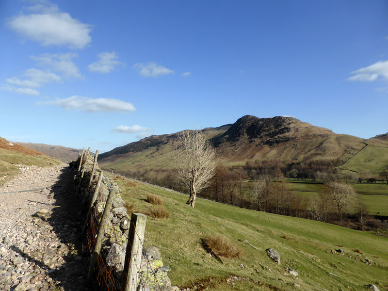
The Band, Bowfell |
The evening before, I explained to Molly that the plan was to get up early and head for the Lakes; here she is on her perch on the arm of the setee. Simon Eagles is with me today and early on The Band sits beneath the early morning cloud - the forecast assured me it would lift and clear! We met and parked at the Old Dungeon Ghyll (NT) car park and set off at 08:00hrs.
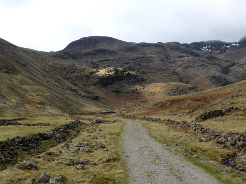
To Brown Howe
Wainwright doesn't offer an ascent of Cold Pike from Langdale, but not to worry we'll find a way up to the summit. Brown Howe (in sunlight) offers a marker and the path is clear and goes up left of the crag.
 |
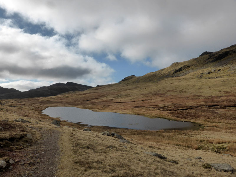 |
Browney Gill |
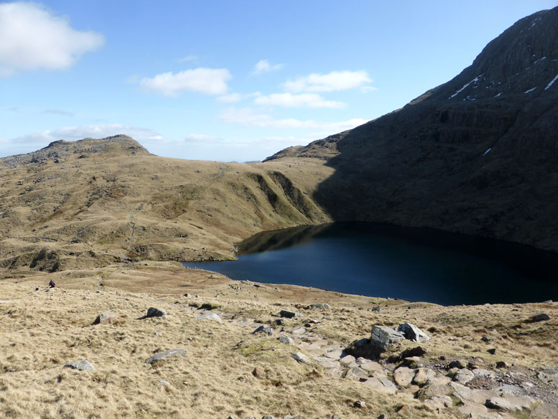
Red Tarn |
Tarn enthusiasts should come and visit Red Tarn soon, it's one of those that is probably slowly filling up with silt and might not be here in another thousand years or so. We walked around the back of the tarn and aimed for the ridge - bit boggy in the hinterland.
Pike O'Blisco
It's now windy and cold, but the sky is clearing and we should be in for a good walk across the ridges of Cold Pike and Crinkle Crags.
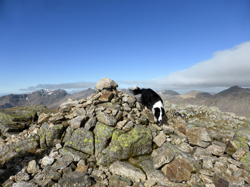
Cold Pike Summit 2,259ft asl (above sea level)
 |
 |
To Crinkle Crags |
Langdale Pikes and Valley |
~~~
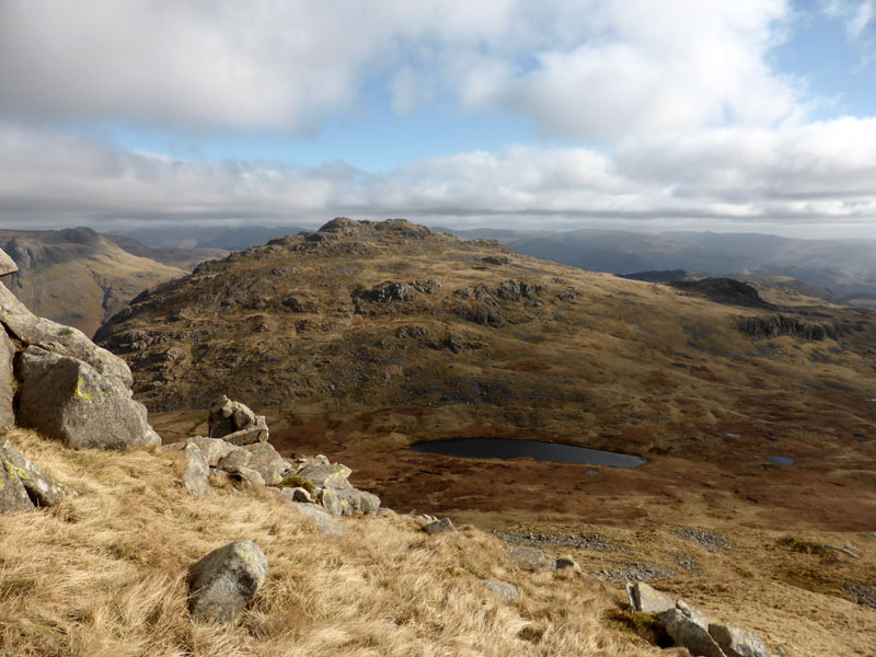
Cold Pike
Looking back to Cold Pike with a good view of the water hazards, not named on OS maps - this might have been one larger tarn in days gone by. It's all Crinkly and Craggy now ...
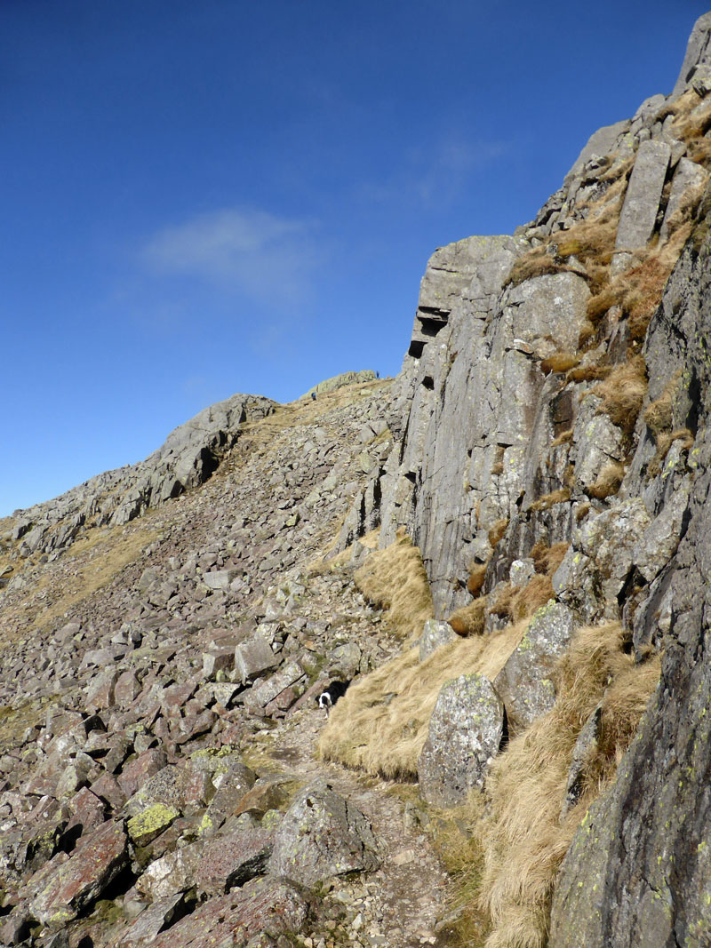
Crinkle Crags
This is the "second" Crinkle when approached from the south and walkers have the choice of a direct climb up the "Bad Step" or venturing to the left and finding the summit in a safer manner.
 |
 |
The "Bad Step" |
The Other Way |
It's the first time I haven't taken the adventurous route and really enjoyed the other way with its fine views to the west and more sheltered position. The summit is soon reached.
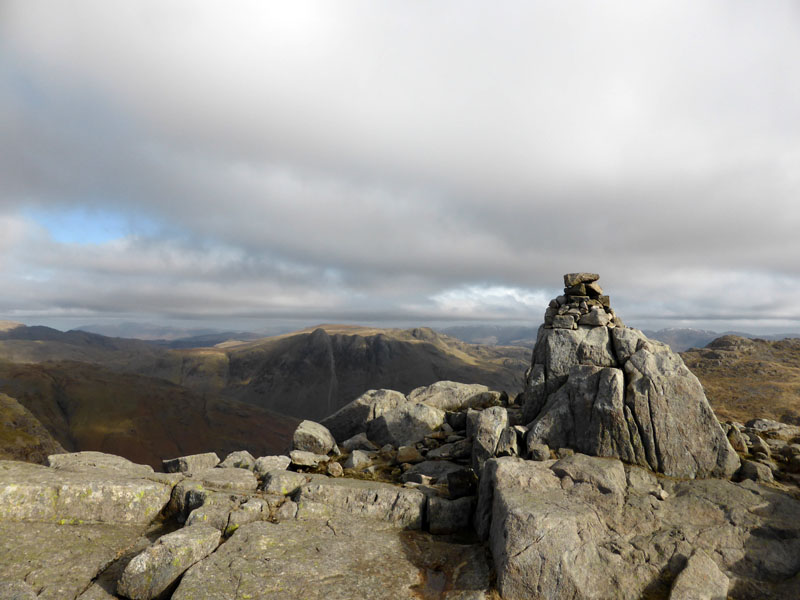
Crinkle Crags Summit 2,816ft asl
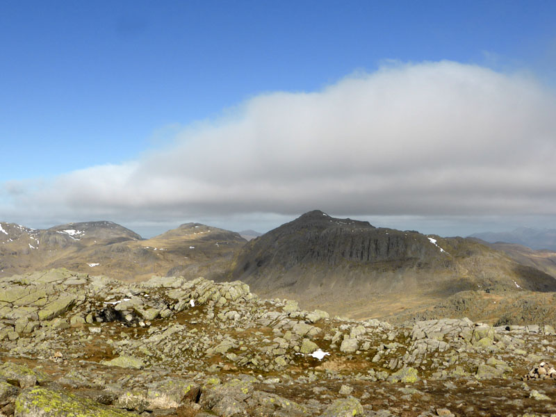
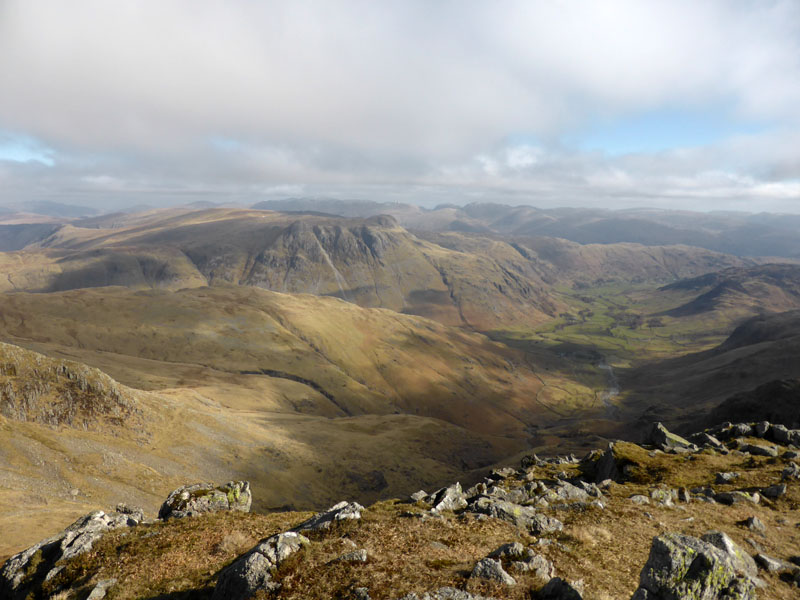
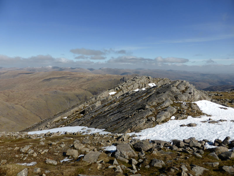
Bowfell from Crinkle Crags
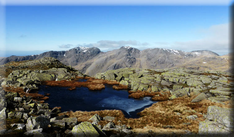
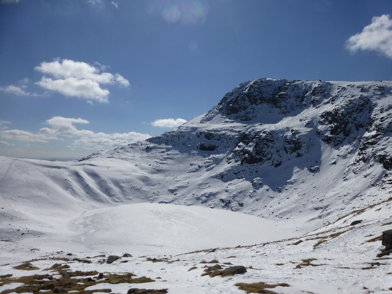
The Scafell Massif
It's sometimes difficult to explain the appeal of fellwalking to those unaware and also non-believers, maybe a few photos like this would help - pity the freshness of the air can't be delivered through a computer screen!
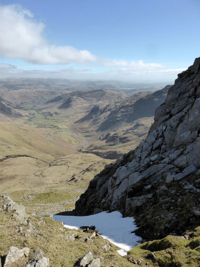
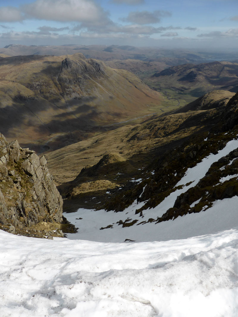
Snow-filled Gully
Next stop is "Three Tarns" for lunch.
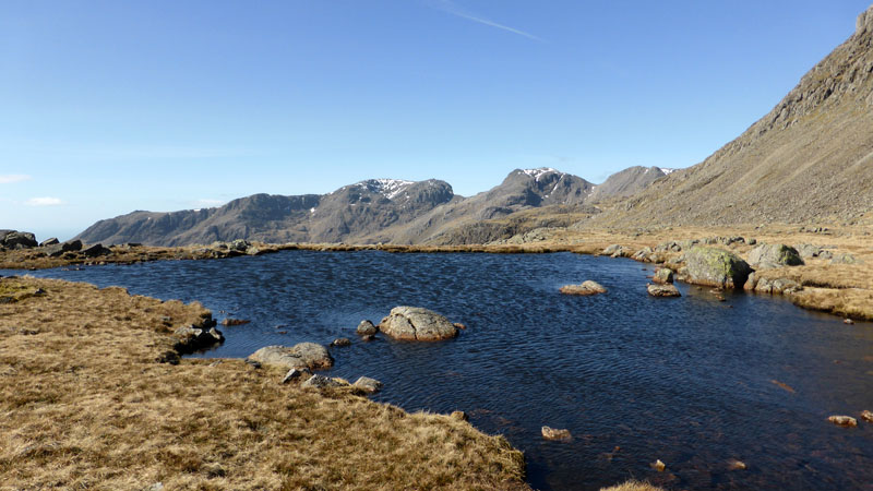
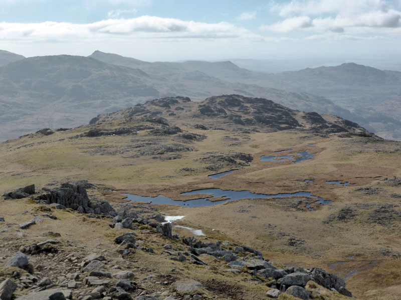
"Three Tarns"
The breeze is revealed by the ripples on the tarn. Two of the tarns are not in this view; ashes could be scattered here and the deceased would be quite content.
 |
 |
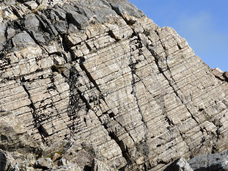
Rocks on Bowfell
Great strata patterns, including swirls on the ascent of Bowfell from Three Tarns.
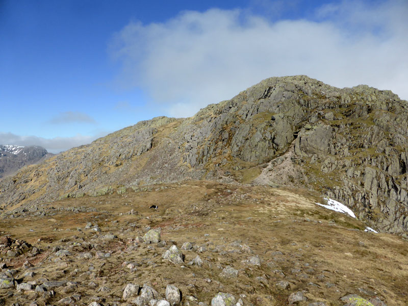
Great Slab, Bowfell
The rocky last few feet of ascent to the summit of Bowfell was not as straightforward as might have been expected. A defence of multiple couples and groups of sandwich-eaters forced us wide and after a few excuse-mes, we found the top.
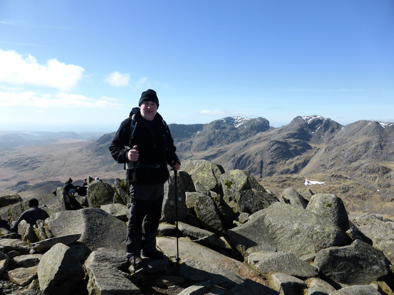
Simon on top of Bowfell 2,960ft asl
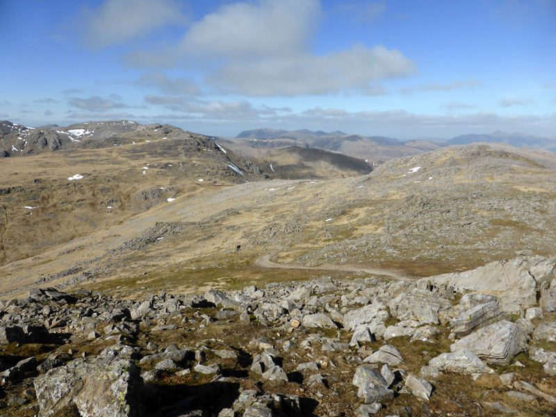
To Ore Gap
Our next target is Ore Gap and the descent to Angle Tarn.
(Stone) Snow-Filled Gully
Wainwright mentions this route of ascent and advises against it. We reach Ore Gap and head down the well-established path.
Angle Tarn
I will always be reminded of that day, nearly two years ago, when this scene was somewhat different...
Angle Tarn 6th April 2013
Rossett Gill Head
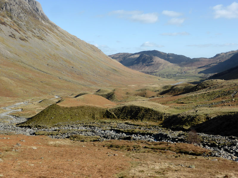
From here it is the simple matter of nearly four miles of mainly downhill walking back to the car.
Rossett Gill
The best path zig-zags away to the right, but if you fancy a mad scramble, then go down the gill.
 |
 |
Descent
Molly casts a shadow on the rocks; the long valley of Mickleden lies beneath Pike O'Stickle (right).
Glacial Moraine in Mickleden
Pike O'Stickle
Note the recently-formed erosion scar and the mess beneath. Presumably the result of heavy rainfall and waterlogging, how long will it take to recover and grass over?
Side Pike
Weary feet stumble up the rocky track on the way to the cars. Side Pike is on the other side of the valley.
Walkers: Simon Eagles, Me n' Molly
Time taken: 7hrs 50mins over a distance of about 12 miles.
Route: Old Dungeon Ghyll, Oxendale, Brown Howe, Red Tarn, Cold Pike, Crinkle Crags, Three Tarns, Bowfell, Ore Gap, Angle Tarn, Rossett Gill, Mickleden, Old Dungeon Ghyll.
Weather: Cold, dry and sunny. Wind decreasing and hats changing from woolly to peaked as temperatures increased towards the end.
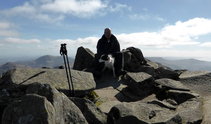
Me n'Molly on top of Bowfell
All photos copyright Richard Ratcliffe 2015 ©
Take me back to the start ....