
~Ullscarf~
27th June 2015
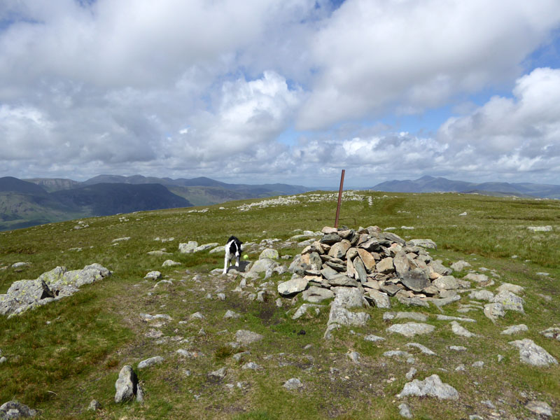
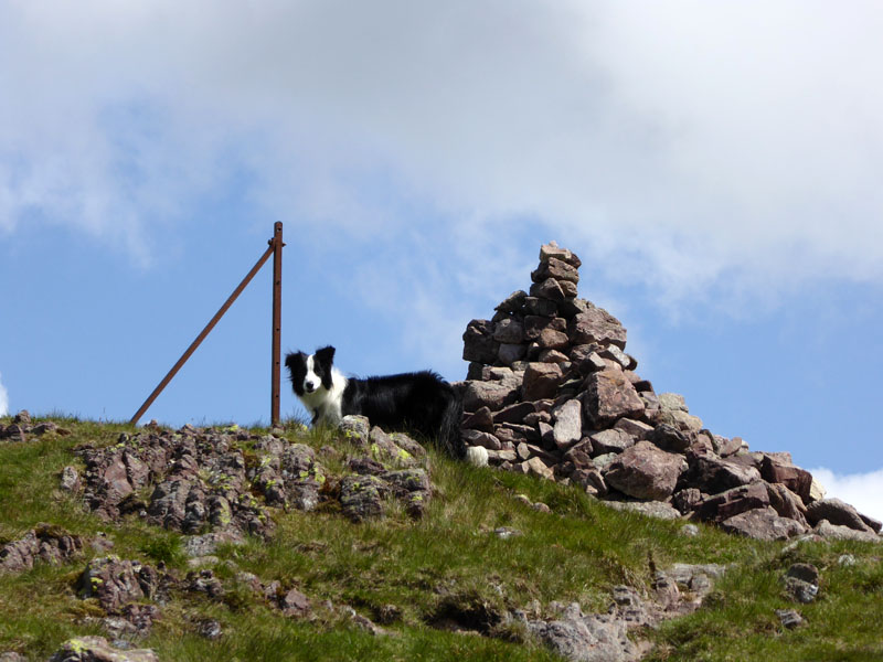
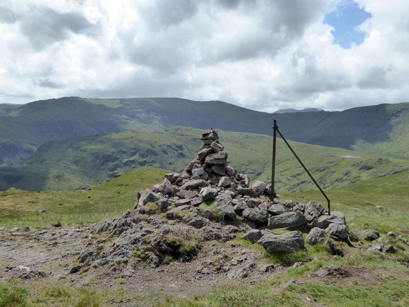
Ullscarf Summit
Did anyone ever ask for their ashes to be scattered upon Ullscarf's summit territory? It's not in many "top tens", but there is at least one interesting way up with peace and quiet almost guaranteed.
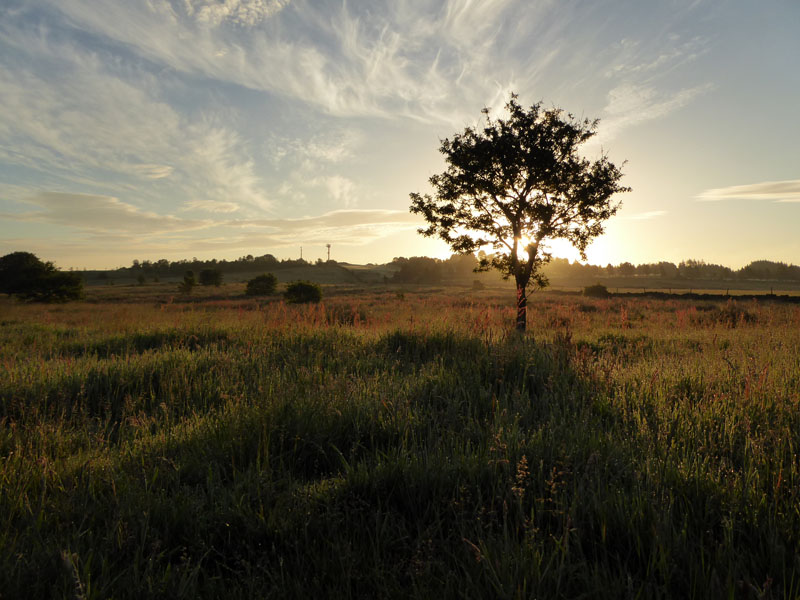
Marsden Heights, Borough of Pendle
Molly and I had an early leg stretch to get us in the mood for a Lakeland walk later in the day. This is the view at 05:30hrs not far from home and it looks like being a fine day.
 |
 |
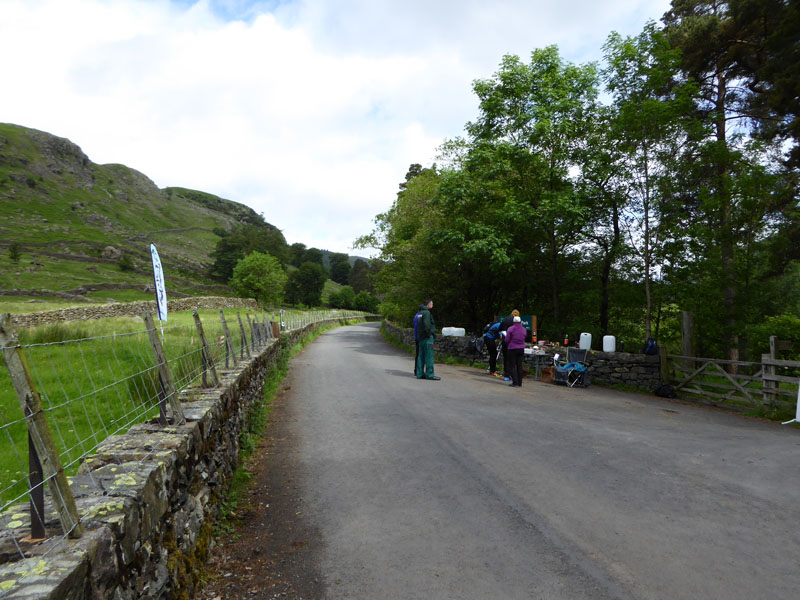
Steel End Car Park |
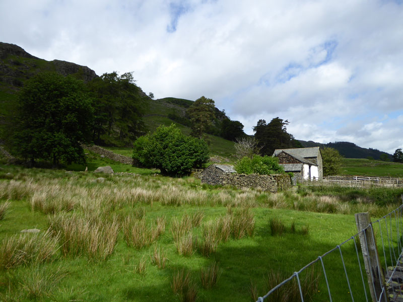
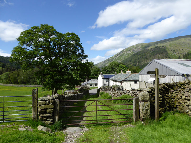
Stenkin Farm |
I parked at the United Utilities Car Park at the southern end of Thirlmere and the walk started at 10:30hrs. After a short distance along the lake road, we entered the grounds of Stenkin Farm and took the footpath to the runied remains of West Head.
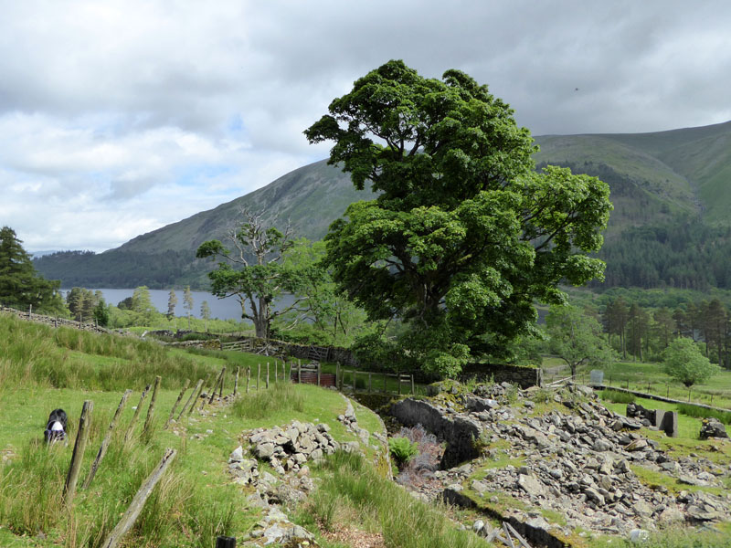
West Head
From West Head we took the direct, steep route up the side of the wall - there is a zig-zag alternative for sensible folk.
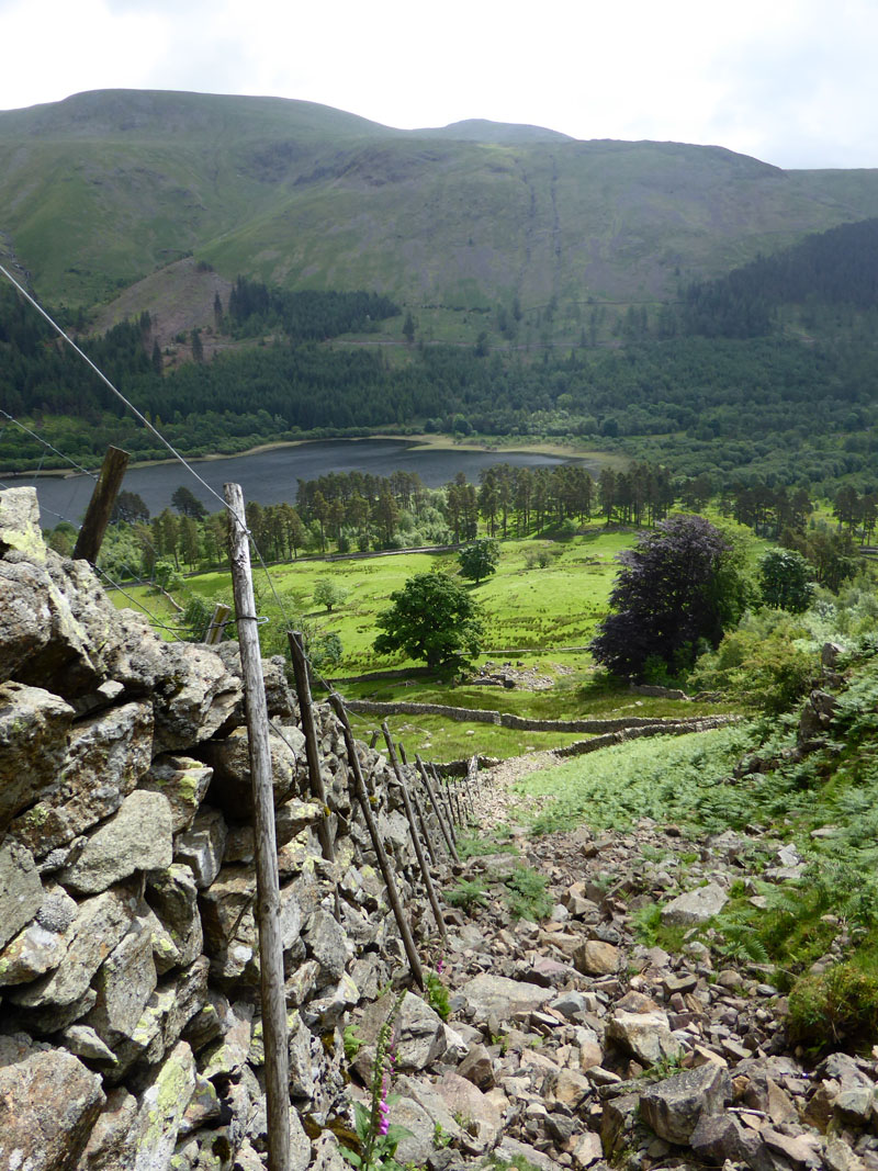
The Wall
 |
 |
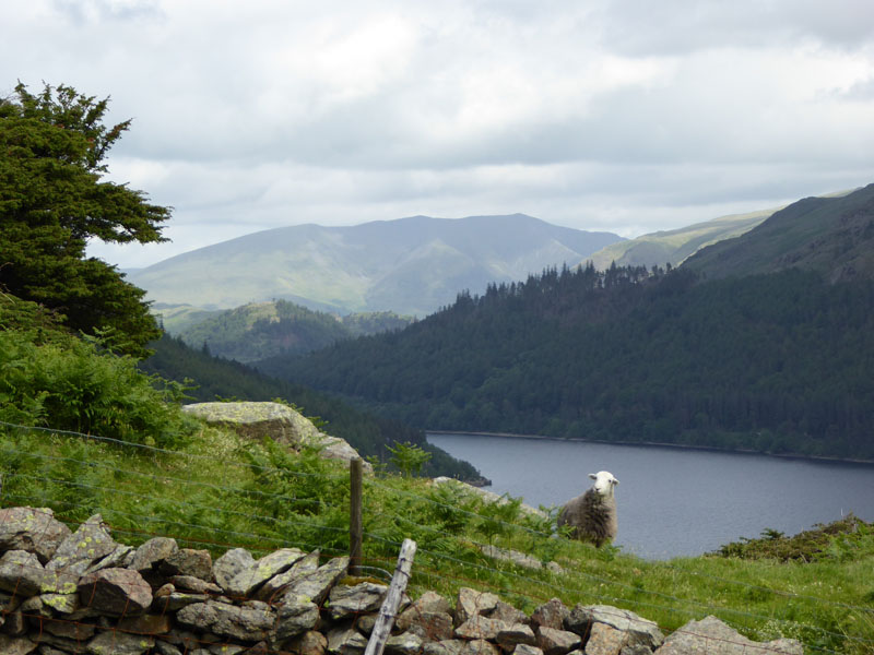
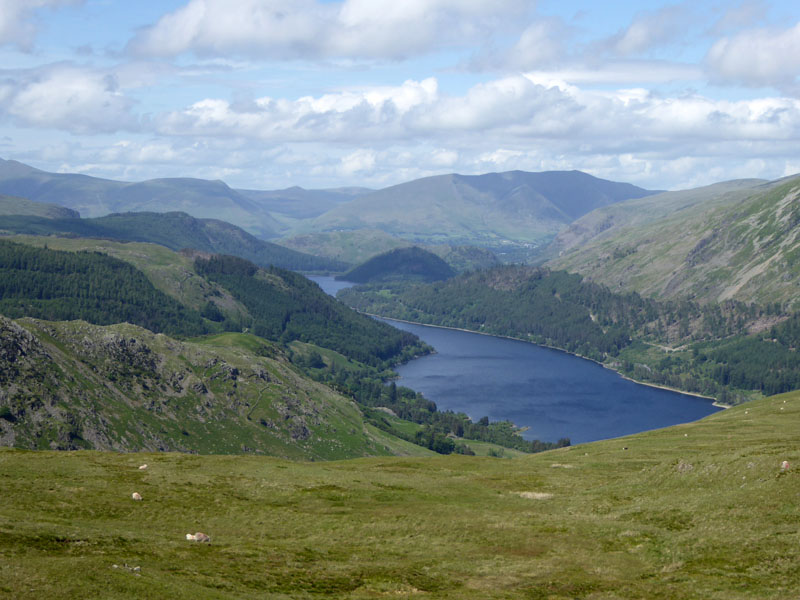
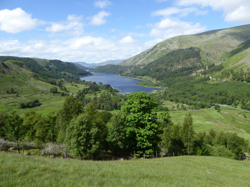
Thirlmere |
Harrop Tarn |
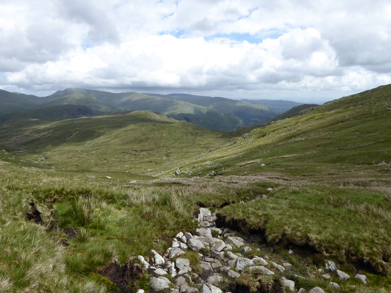
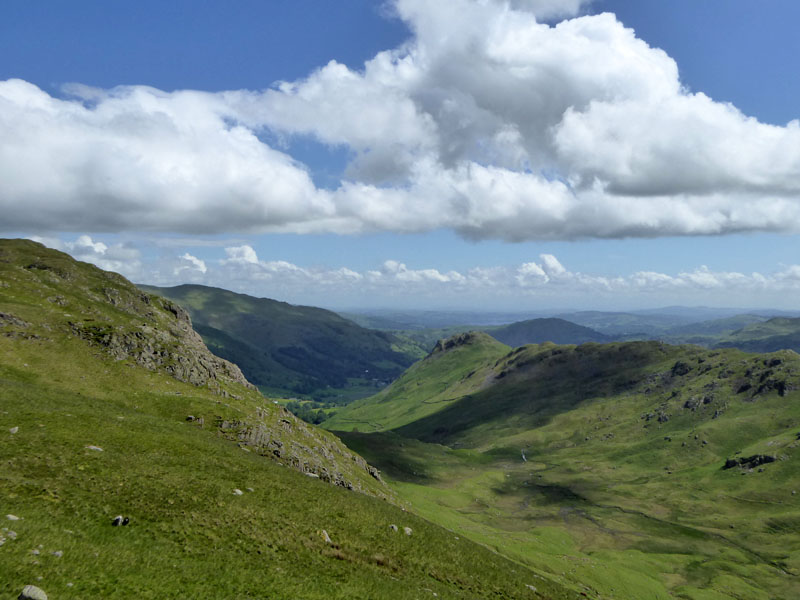
The basis of this ascent of Ullscarf is to follow Ullscarf Gill as shown on the OS 1:25000 map.
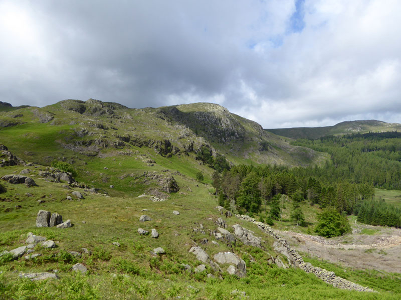
Tarn Crags
The crags belong to Harrop Tarn. The route takes us in a south-westerly direction before turning west for the main body of the gill.
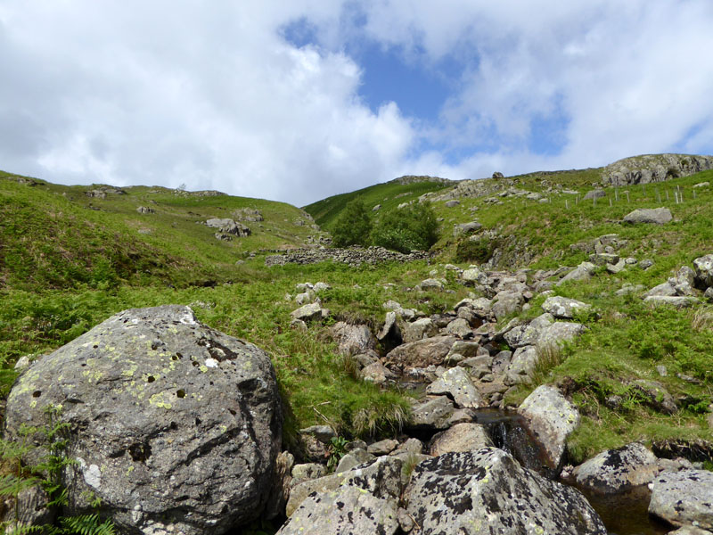
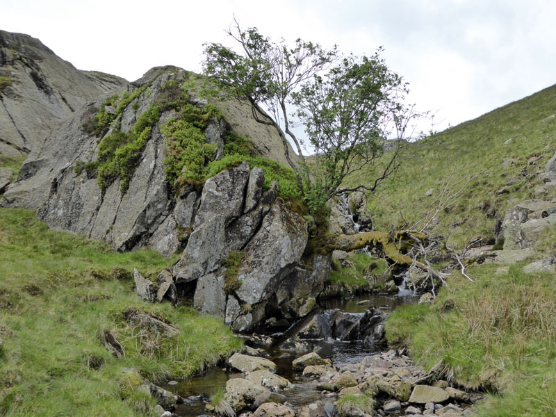
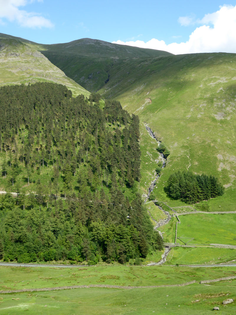
Ullscarf Gill
There is an old sheepfold adjacent to the gill and this is a fine mountain scramble, following the watercourse wherever possible.
~~~
 |
 |
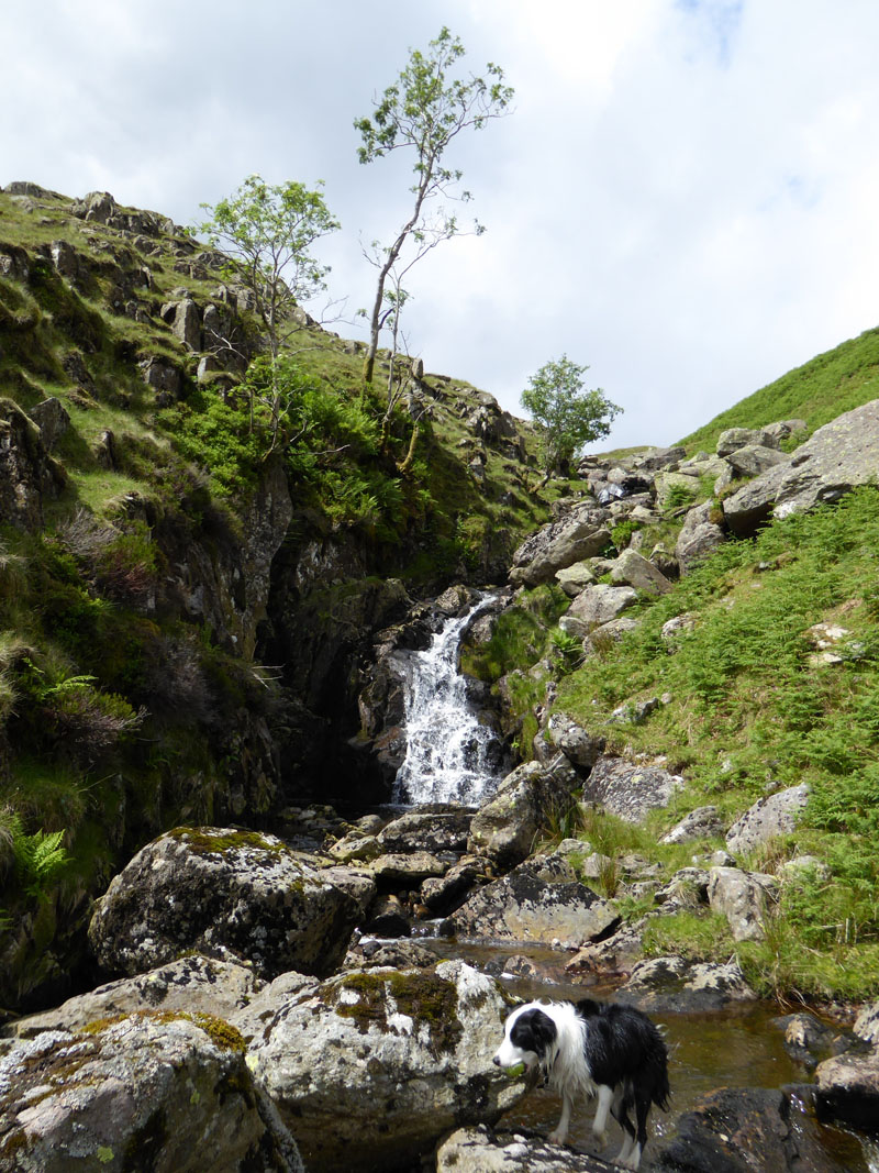
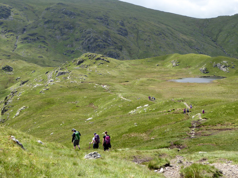
More views from the gill; on two occasions we kept right at watermeetings - knowing that all routes would lead to the summit ridge of Ullscarf - as long as we kept going uphill.
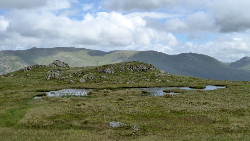
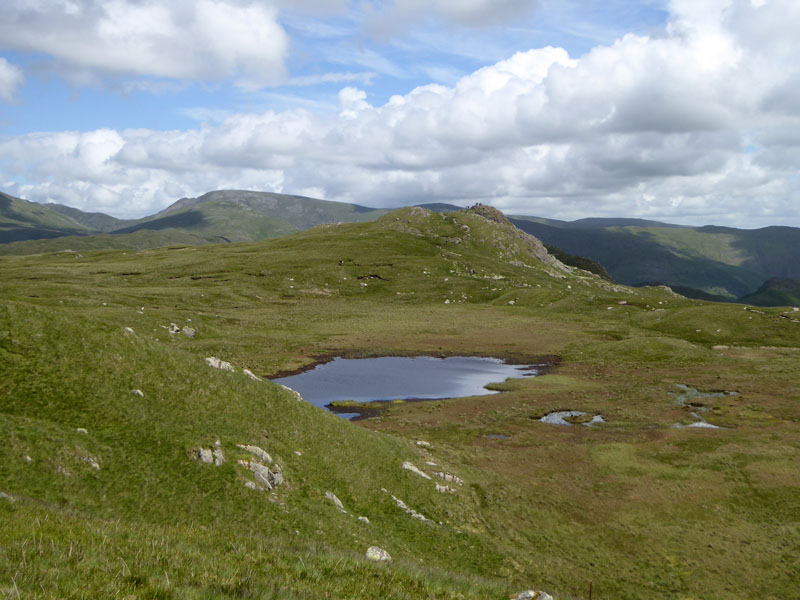
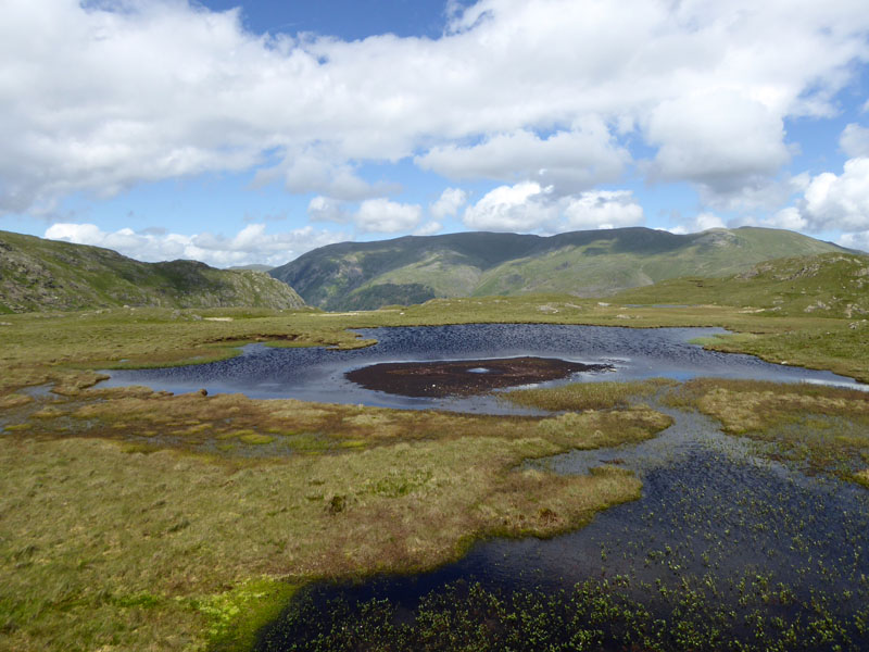
Tarn on Ullscarf
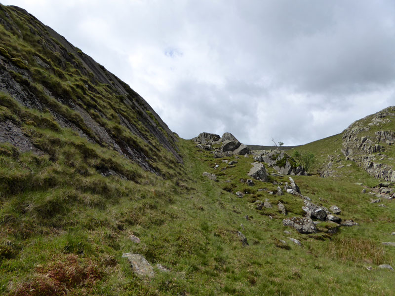
A view of the Helvellyn fells from an un-named bit of water on the way up to the summit - and to be honest, I didn't know then or even know now exactly where we were, but why bother about such detail? Wainwright alludes to this route being "free from difficulty... and route selection is not too easy".
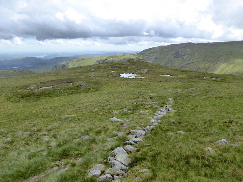
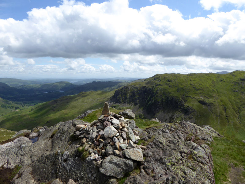
Ullscarf Summit 2,370ft asl
This mass of land in the centre of the Lake District could have been more carefully crafted, but it is what it is and on a fine day like this, there isn't much to complain about.
 |
 |
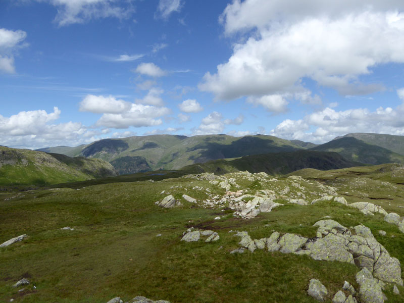
To Greenup Edge
Our walk proceeded in the direction of Greenup Edge for a route to our next target, Crag Fell. Easy walking, just a few bogs to negotiate around.
To Calf Crag
Calf Crag is in the middle distance.
Brownrigg Moss
We took the less popular western route around the tarn for our approach to the summit of Calf Crag.
From Calf Crag
A large walking group leaves the summit and heads off to somewhere else.
Calf Crag Summit 1,762ft asl
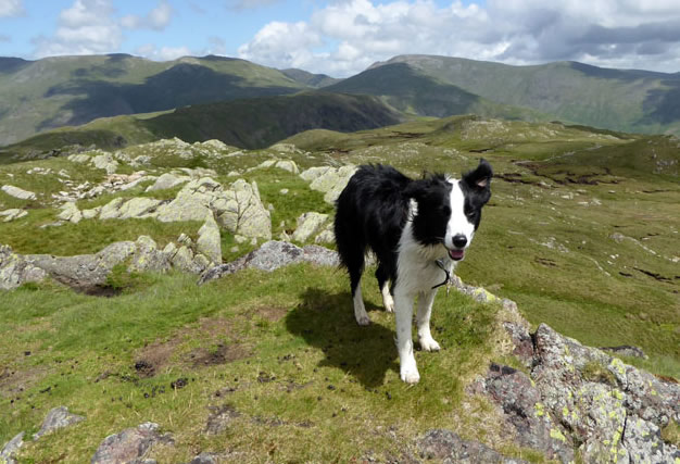
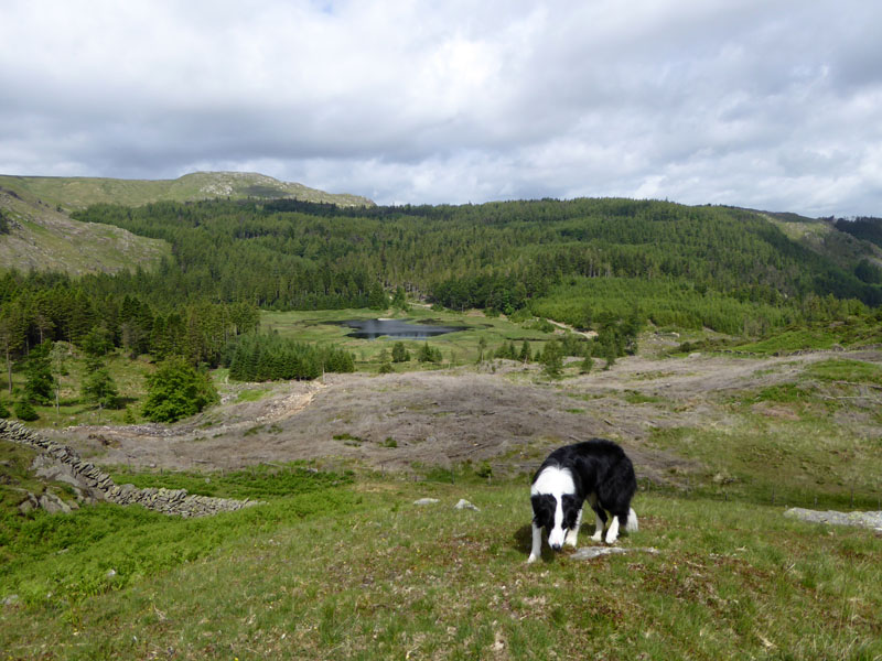
Molly the Collie
 |
 |
To Steel Fell |
Helvellyn |
The walk across the marshy ground is easy enough as we head to our next target, Steel Fell. I think this could be the first Saturday in four or maybe five that the weather has been right for this kind of activity. We've had mist, heavy rain, enormous winds and general dullness, but today there is nothing to complain about.
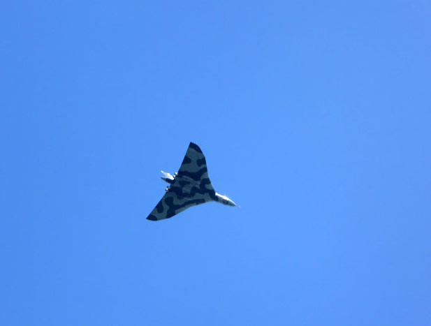
Vulcan Bomber
I'd received a tip-off that this flypast was on the cards, but I didn't know if it would come over Dunmail Raise or in which direction. In the event, I didn't see it coming and was alerted by the "whoop" of a nearby walker and then the familiar roar of the iconic symbol of the Cold War's superpower stalemate. Looking back, there was something reassuring about knowing your enemy and where he lived. How times have changed...the "peace dividend" of the mid-80's....
Greenburn Valley
Helm Crag above Greenburn Valley.
 |
 |
Steel Fell Summit, 1,811ft asl
This is our final summit of today's walk. Just the small matter of the steep descent to Wythburn.
Thirlmere
The wooded hill in shade is Great How. On the eastern side of the lake (reservoir, actually) the forestry operations are clearing the "old" trees and have a replanting scheme with more native species. At the time of writing, the path through the forest is closed.
Steel End
Thirlmere was once comprised of two lakes, then the Manchester Corporation folk built a dam and raised the water level by 50ft or so. We have to accept what's gone before us, but that doesn't stop us asking questions and wondering how things could have been different.
Birkside Gill
Steel End Farm
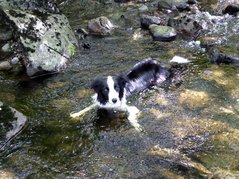
Cooling Off
A very enjoyable walk over some of Lakeland's less popular fells.
Walkers: Me n' Molly
Time taken: 5hrs 50mins over a distance of about 8 miles. 2,360ft of ascent.
Route: Steel End car park, Stenkin Farm, Ullscarf Gill, Ullscarf, Greenup Edge, Brownrigg Moss, Calf Crag, direct route to Steel Fell, down the north ridge of Steel Fell to West Head Farm and the car park.
Weather: Mainly sunny and pleasantly warm.
All photos copyright Richard Ratcliffe 2015 ©