
~Home to Higham~
6th June 2015
River Calder, Burnley
On this very windy day, I couldn't see the virtue in travelling outside the area to get buffeted around, so this walk is from home to the village of Higham, and back along different paths. Peter Ratcliffe joined in along with the ominpresent Molly the Collie.
 |
 |
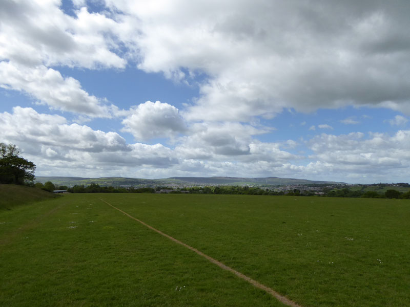
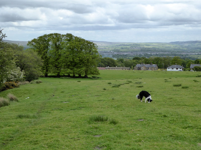
Field One |
Field Two |
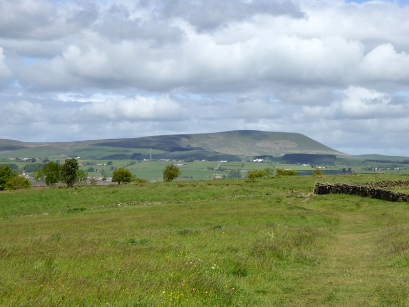
Straight out of our back gate into Field One and then Field Two for our daily view of Pendle Hill. Not a bad spot for the daily dog walks, is it? We meet loads of other walkers with their dogs, some get on and some don't. Some of the dogs play together aswell.
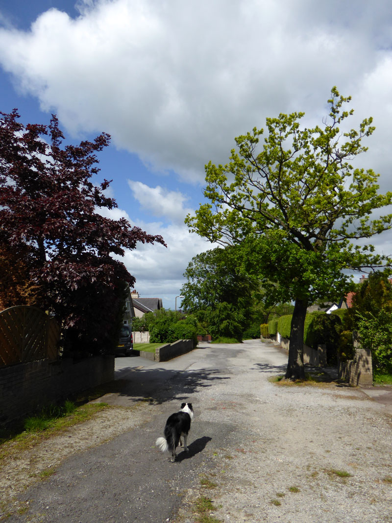
Reedley Drive
The walk took us down Reedley Drive and on to the Prairie fields - one of Burnley's community sports facilities.
Prairie Fields
 |
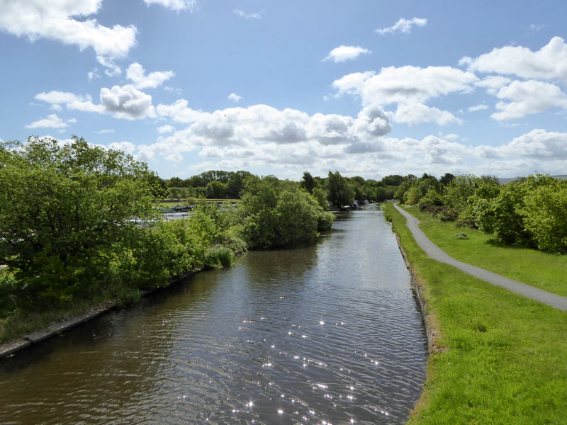 |
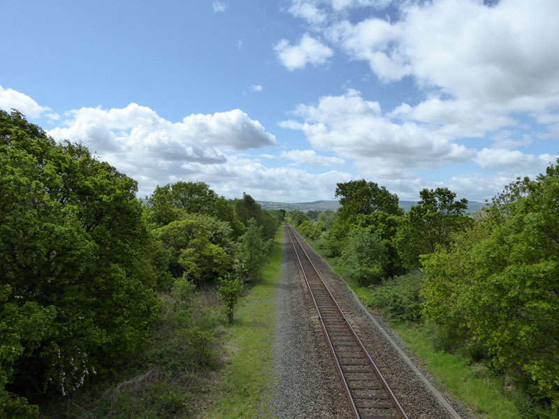
Preston to Colne Railway Line |
Leeds & Liverpool Canal |
On a steady downhill route, we cross the main road then the railway line and then the canal. I suppose its water that best demonstrates the prescence of the gusty wind and the bright green of the trees that tells you its summertime (!).
To Barden Lane
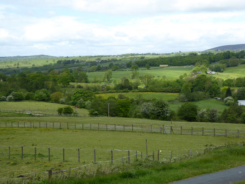
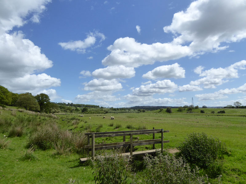
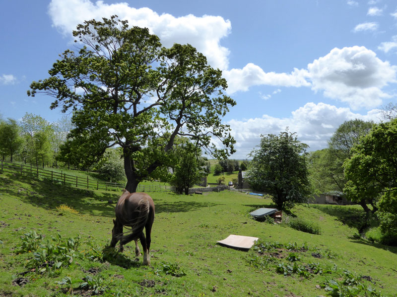
The public right of way crosses horses' exercise fields. In the dip is Pendle Water and the other side of the buttercup field is the M65 motorway. Our primary destination, Higham, is up there on the horizon where you might be able to see a row of trees.
Pendle Water
 |
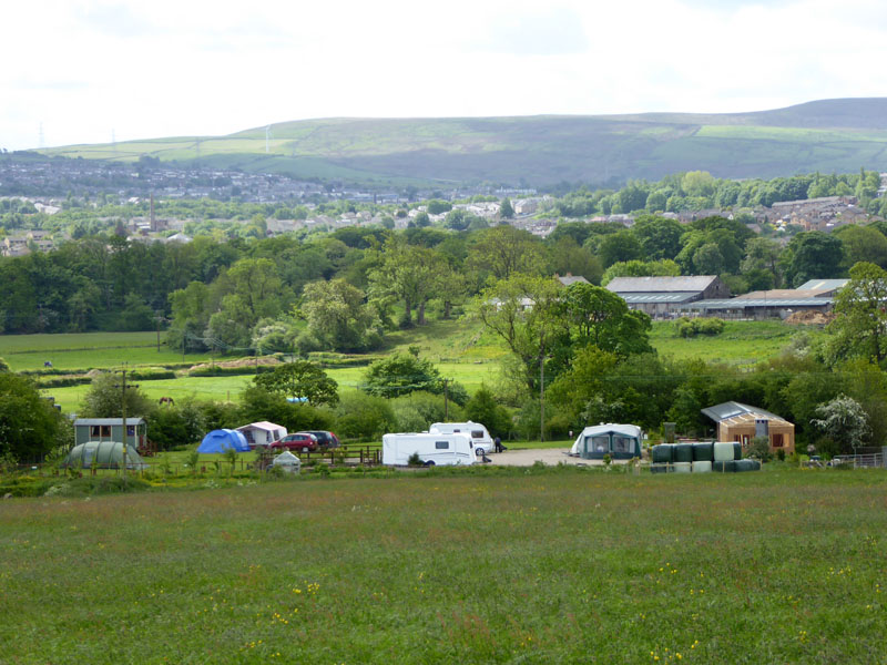 |
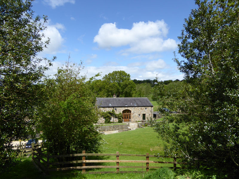
We crossed the New-In-Pendle Bridge and followed the lane up next to the cottages, then cross the motorway. Soon, we can see what could be Burnley's best campsite (it might be Burnley's only campsite!). Smithson Farm Campsite is highly regarded in campers' reviews, I might even give it a try one day - not quite a sojourn to distant lands, but somewhere different to wake up and it won't take long to get there.
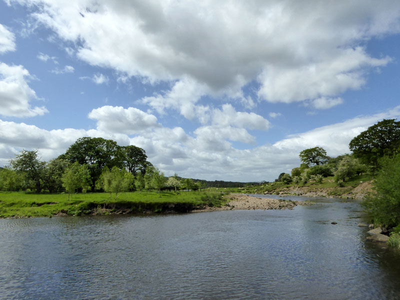
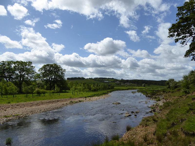
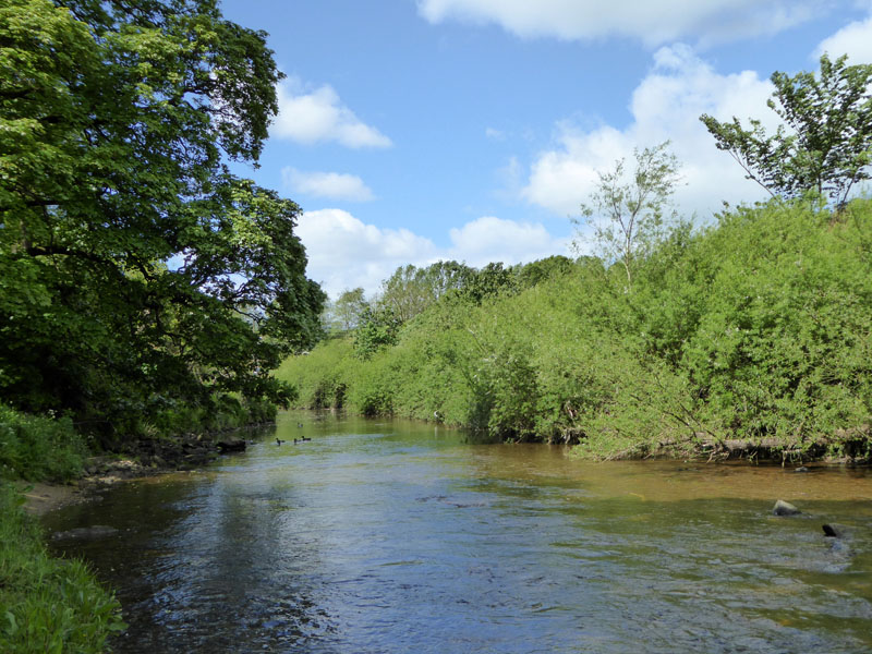
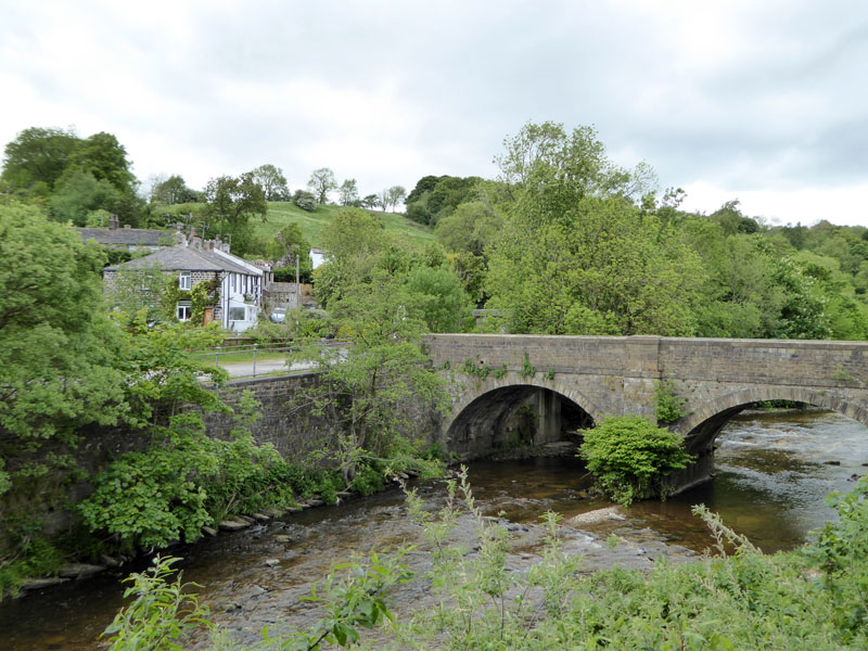
River Calder
Now down by the river, we could be in a Yorkshire Dale looking at this view! We continue along the north bank.
~~~
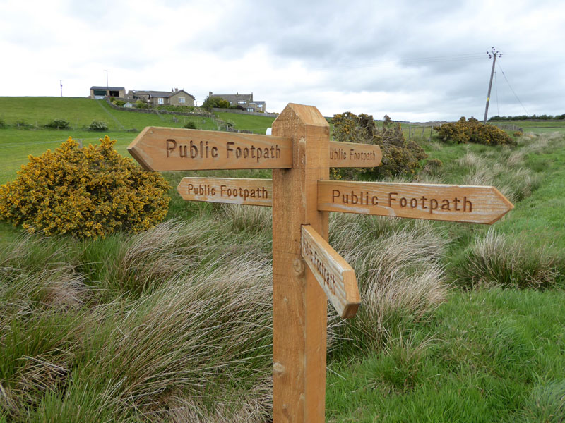
Soon we are looking for a route up to Higham and we have a choice of at least four. We take the one just after Pendle Hall, choosing not to take the "Pendle Way". It soon became clear that not many walkers use this route.
 |
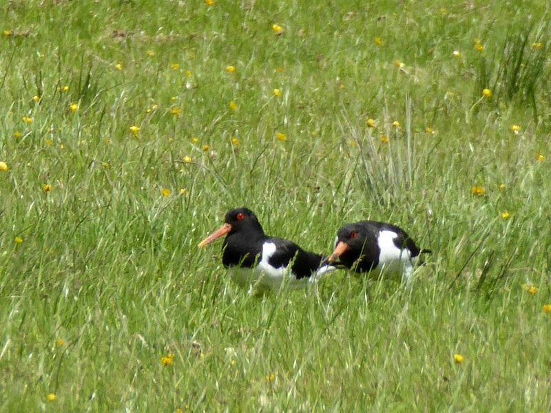 |
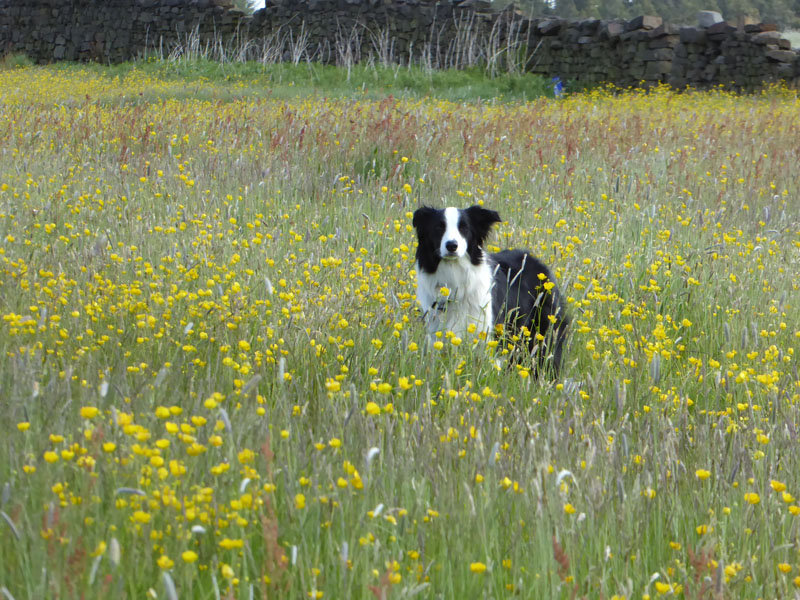
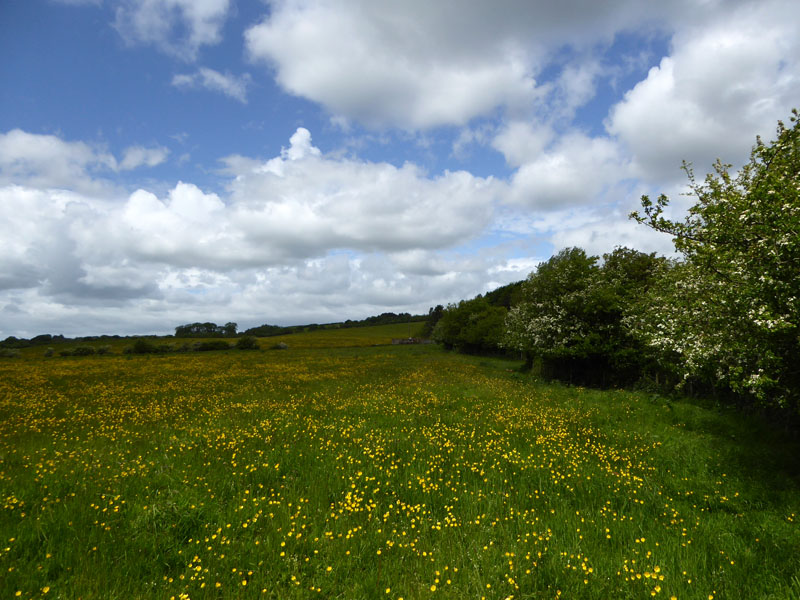
Long grasses and buttercups hinder our progress; two oyster catchers try unsuccessfully to hide in the adjoining field.
Map Reading
With an unclear path and few waymarkers, the map becomes very important. The fence and the copse are on the map, we know where we are, ish, perhaps.
 |
 |
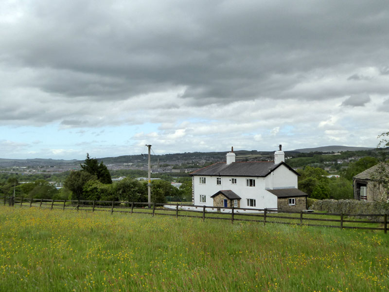
The scene at West Close Farm, seldom seen. Unless you live here.
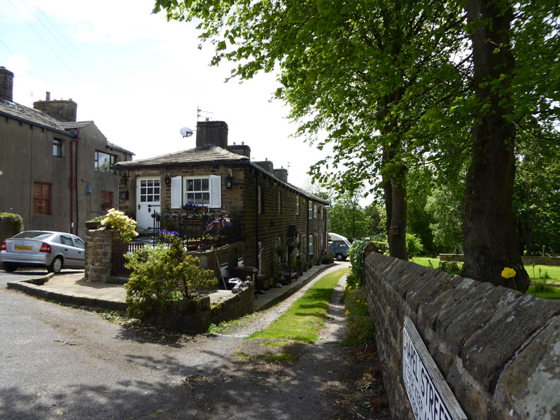
Typical "old" Higham
Higham has an interesting mix of old and new housing. The pub is our chosen spot for lunch, understanding that dogs are allowed in certain parts.
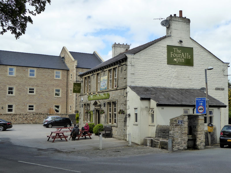
The Four Alls Inn, Higham
I think it is worth the reader departing from this site for a couple of minutes to read about the Inn. (Opens in a new window). That will save me a few lines of text. Then close the other window and carry on reading this page, or else!
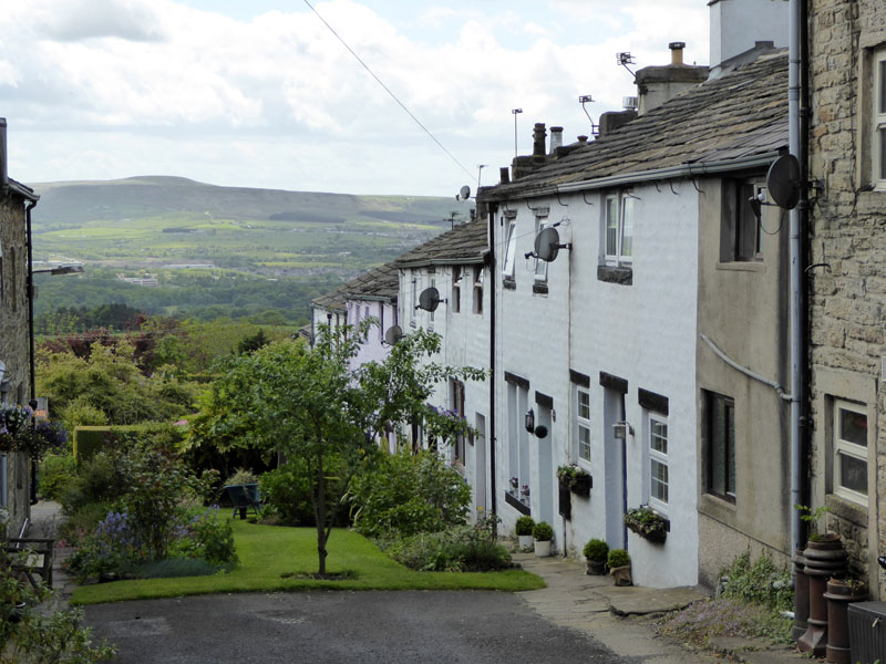
Houses in Higham
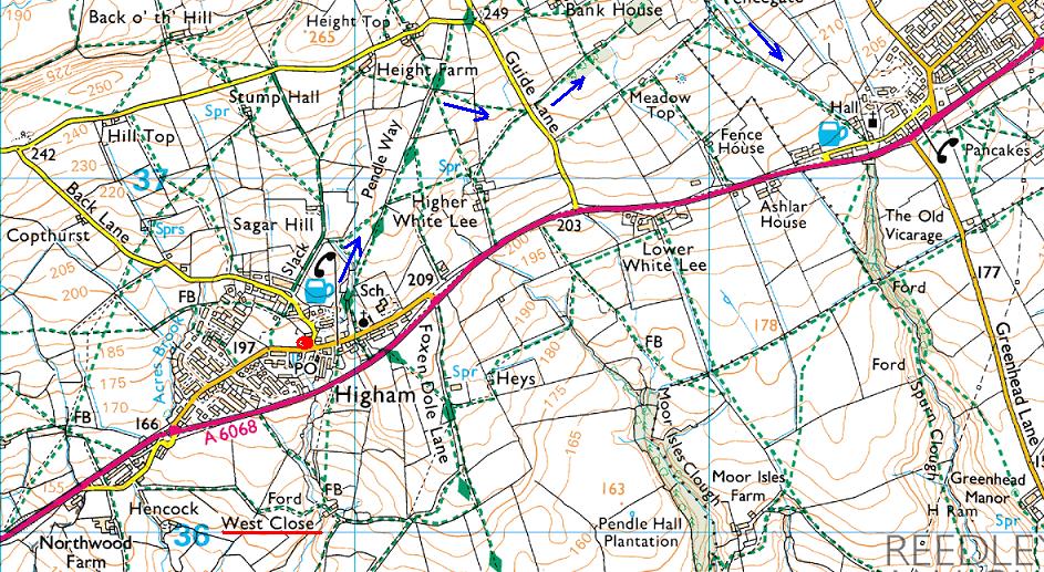
Next up, we head out of Higham in a northerly direction, shown by the blue arrows. The pub is the red spot and West Close is underlined. The A6068 is known locally as the "Padiham Bypass". Fence is the village in the top right corner.
 |
 |
Take Your Pick |
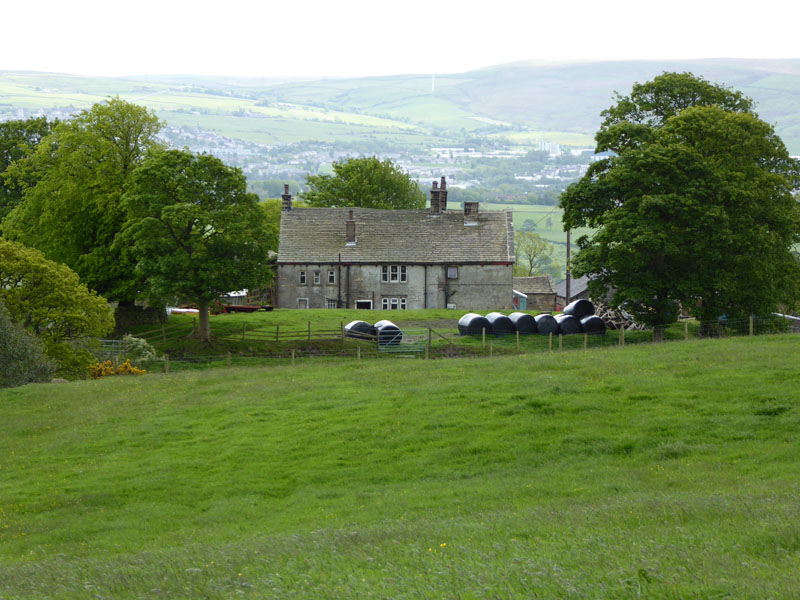
Meadow Top Farm |
This meadowy section included parts which could be very boggy in wet weather and we had to deviate at one point to avoid resting cows.
To Fence
The line of lime trees have exposed roots.
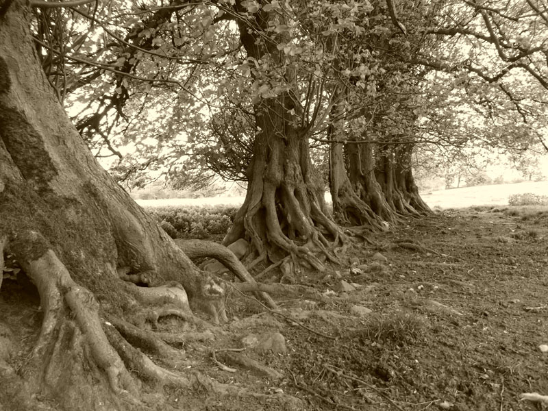
Lime Trees
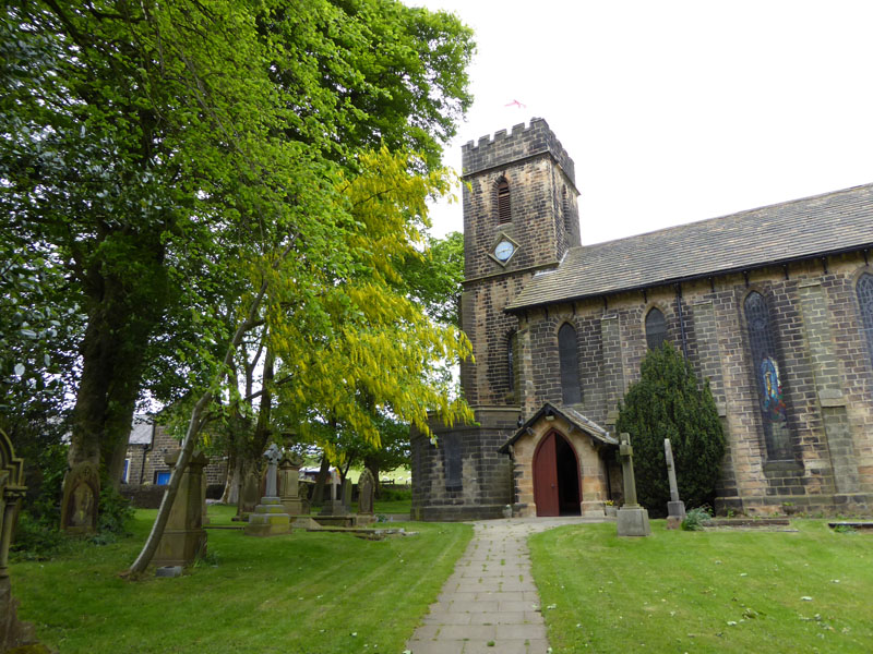
St.Anne's Church, Fence
We called in at our sister's house for a cuppa and then young Matthew joined us for a few minutes, before he and Peter returned to Helen's and me n'Molly carried on, heading for home.
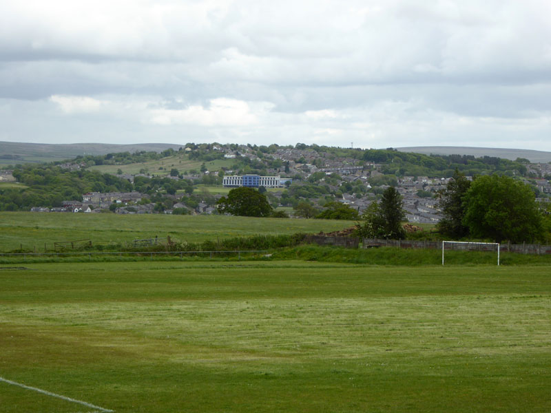
Pendle Forest Playing Fields
Home is near the top of the hill on the other side of the valley, far above the "new" school.
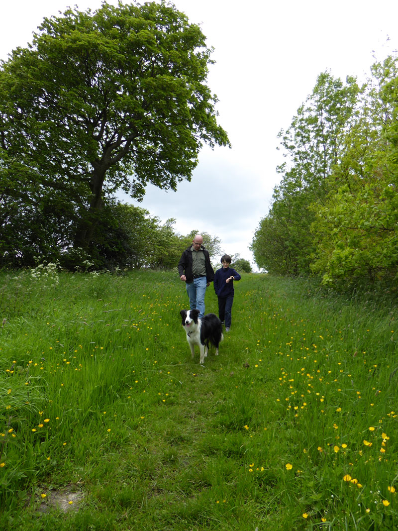
Peter, Matthew and Molly
Raven's Clough
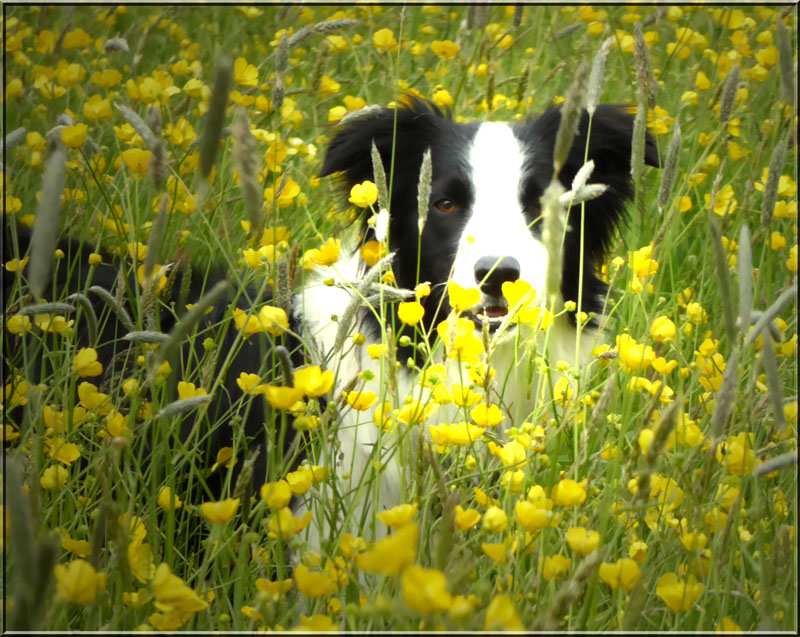
Molly in the Meadow
 |
 |
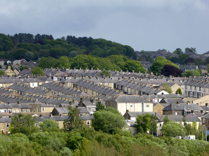
The terraced rows of Brierfield and the river crossing at Quaker Bridge. Now for the 530ft climb up th'ill....
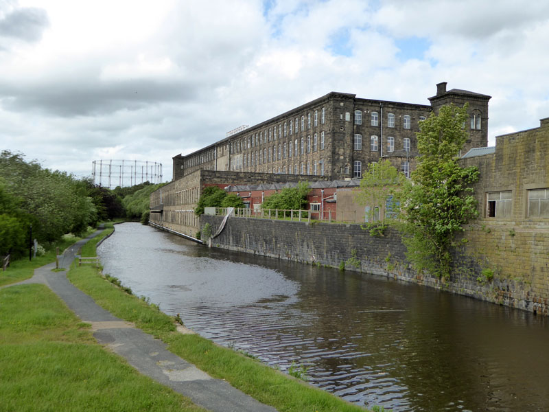
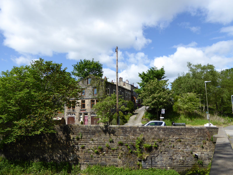
The Canal
Tunstill Mill awaiting redevelopment, the artist's impression of the way it will look is impressive. Let's see...
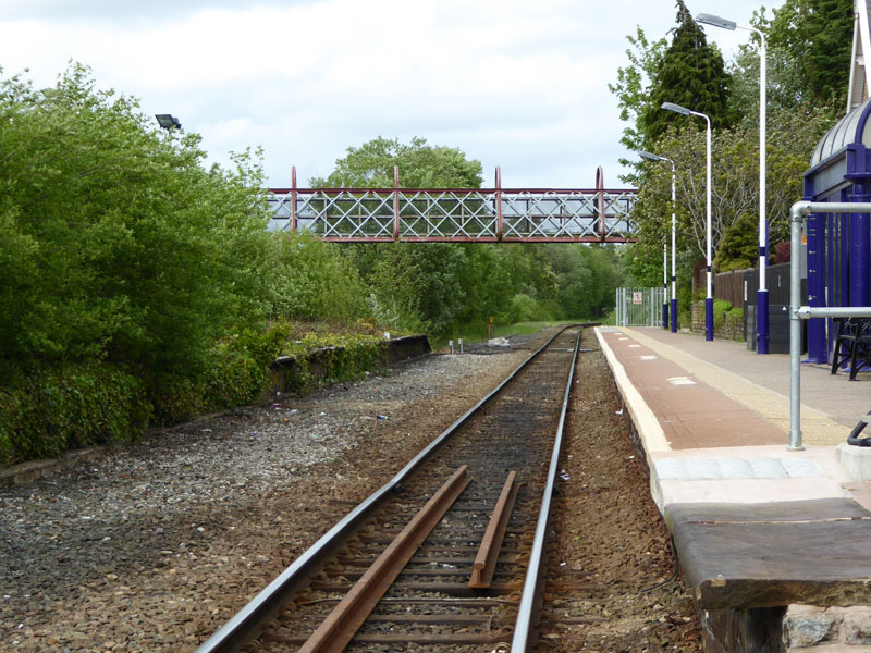
Brierfield Railway Station
Despite having its heart and soul removed by the progress of time and cost cutting, there is still a little bit of atmosphere with the prescence of the footbridge and many of us can remember using the other platform in times gone by. There used to be two pubs, next to the railway station.
 |
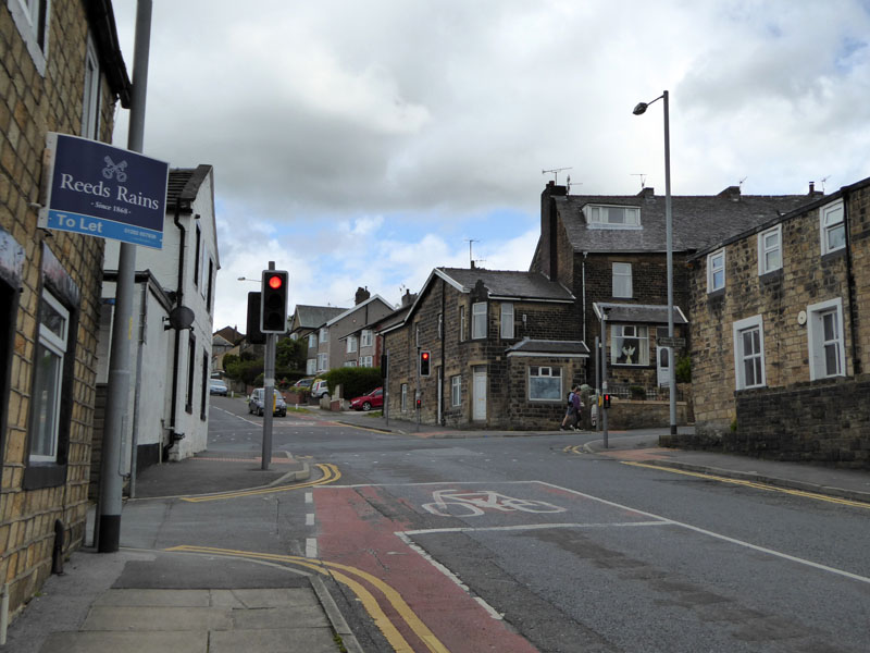 |
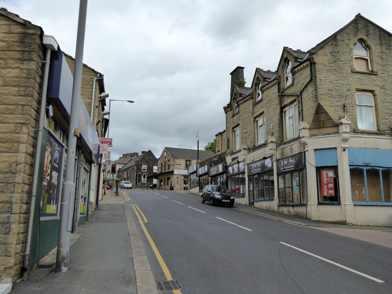
Clitheroe Road, Brierfield |
Four Lane Ends |
There used to be pub on the corner of the crossroads in the centre of Brierfield. There used to be a pub on the right of the photo at Four Lane Ends. Was there one on the left aswell, next to the red light?? I think, when I was younger there were 11 pubs in and around Brierfield, at the time of writing, there is one left.
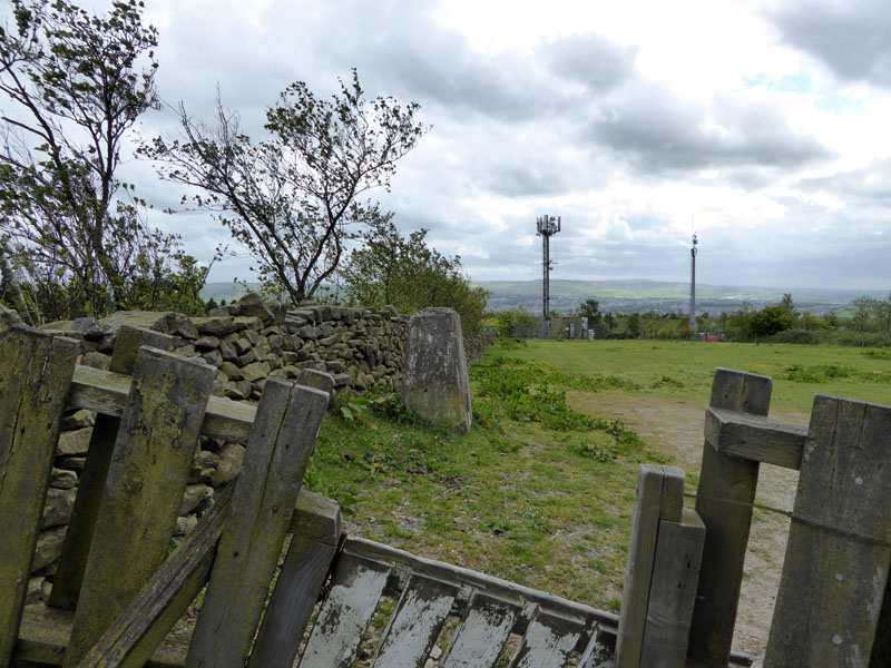
Marsden Heights Trig Point
My local trig and the mobile phone masts, now the familiar fields back to home.
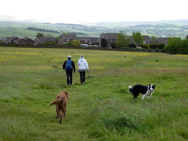
Field One
10 miles, 1400ft of ascent, taking 6hrs 40mins, time includes the two generous refreshment breaks.
Route: Home (BB10), Reedley Drive, Prairie Fields, Barden Lane, over the M65, River Calder, route up past West Close Farm to Higham. Fields to Fence, Pendle Forest fields, Raven's Clough, Quaker Bridge, Clitheroe Road, Halifax Road, Kings Causeway to Marsden Heights, fields back to home.
Refreshment Review: The Four Alls Inn allows dogs at the bar and in the games room. Food was good and real ales are on offer.
Weather: Dry, Mainly Sunny and Very Windy at times.
All photos are copyright Richard Ratcliffe 2015 ©
Take me back to the start ....