
~Far Eastern Foray~
9th February 2015
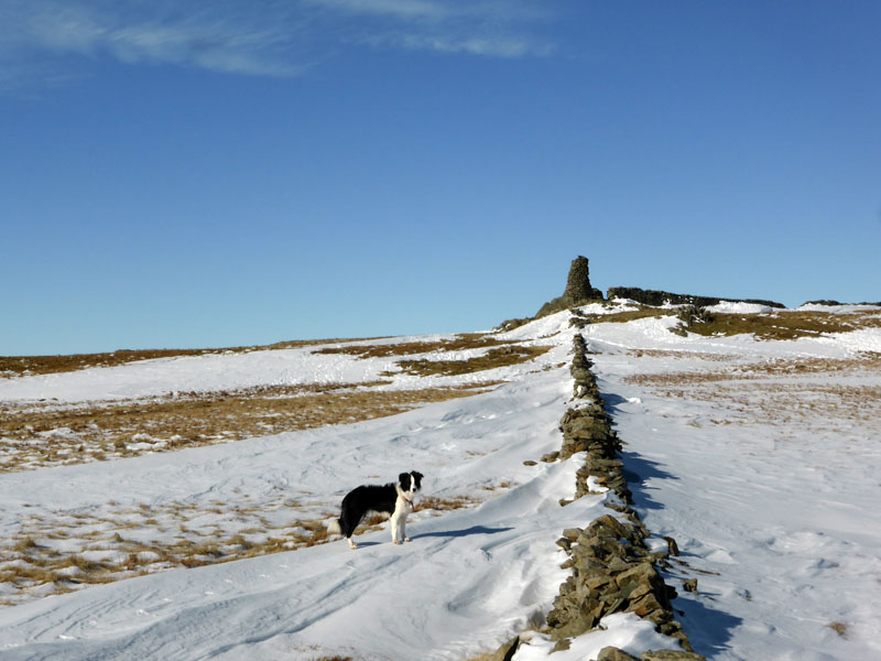
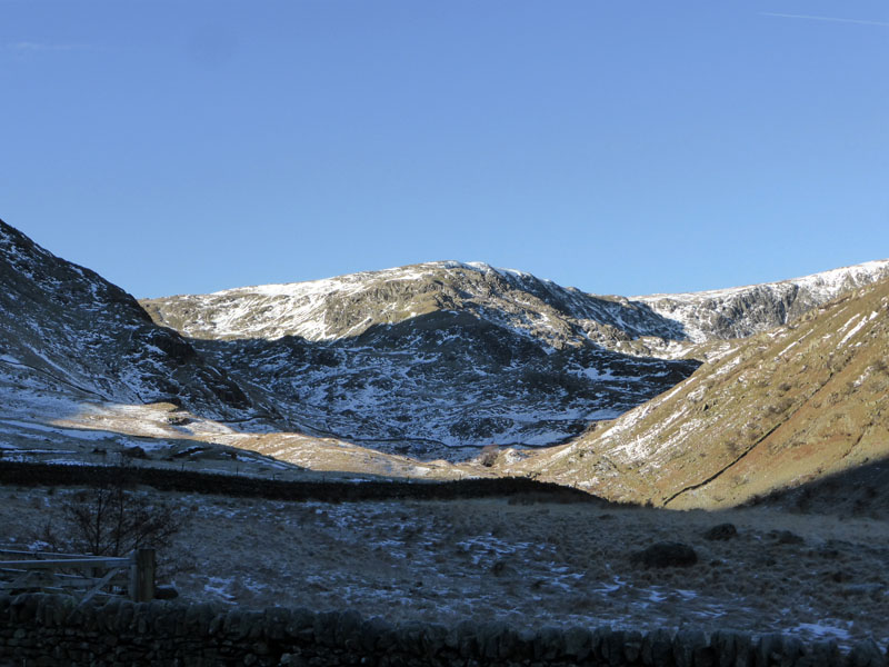
Thornthwaite Beacon
Day 3 of the Dent holiday and mist lays all around. I checked a few Lakeland webcams and the one at Pooley Bridge showed clear skies. I checked that the date on the camera was correct (!) and decided to travel out of the Western Dales and head for the Eastern Lake District.
 |
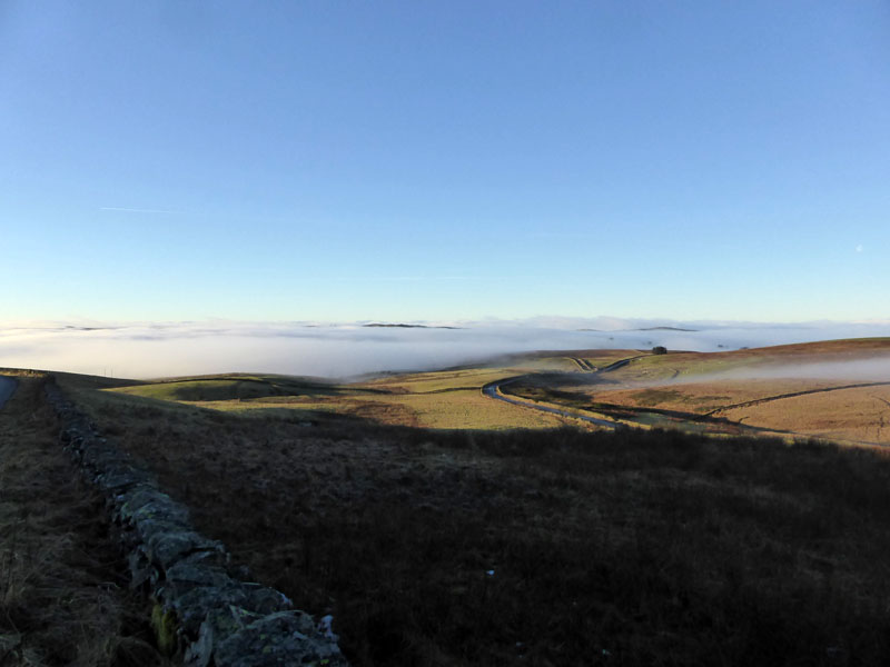 |
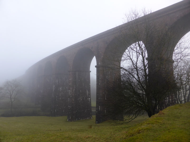
Lowgill Viaduct |
Above the Mist |
The road to Tebay passes Lowgill Viaduct and this illustrates the mist issue. Soon we rise above the mist where the country road meets the A685 behind Dillicar Common. The drive took me down into Tebay and back into the mist, but on the way to Shap the skies clear and I get clear views of the Far Eastern range of high fells.
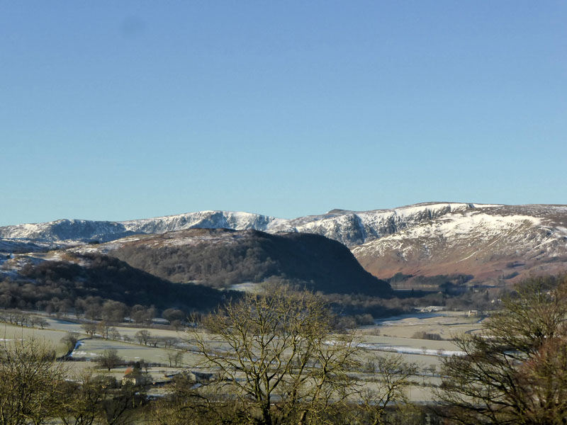
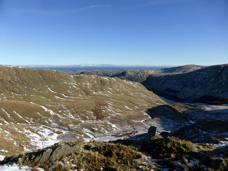
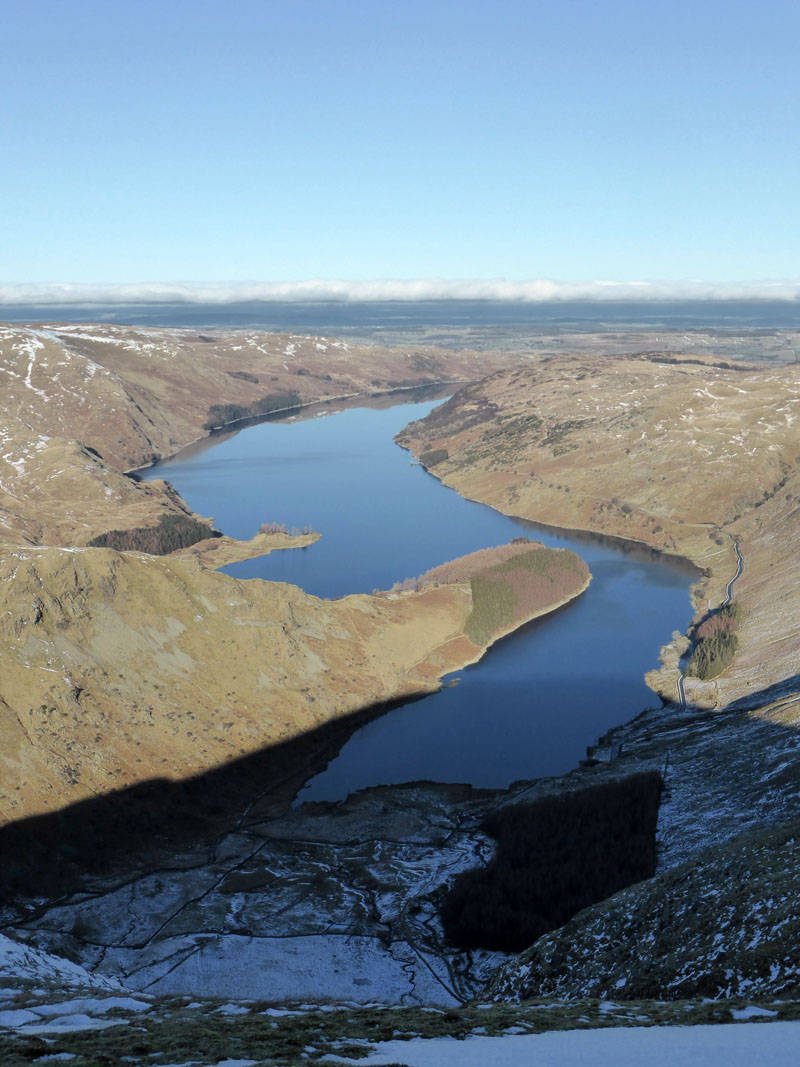
The View to Haweswater
There is still much to decide; there are plenty of walk start points and plenty of grand ascent routes in this area. I chose to head for Mardale Head, passing Haweswater on the way.
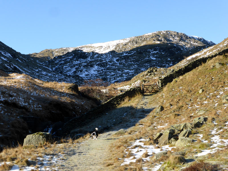
Castle Crag (Kidsty Howes ascent) from Haweswater
Rough Crag ascent of High Street
 |
 |
Mardale Ill Bell |
Walk Route |
After a little head scratching as to which is the finer route to the higher ground, I chose the north ridge of Mardale Ill Bell ahead of Rough Crag for High Street - and that's a tough call. They are both fantastic ways to reach the tops.
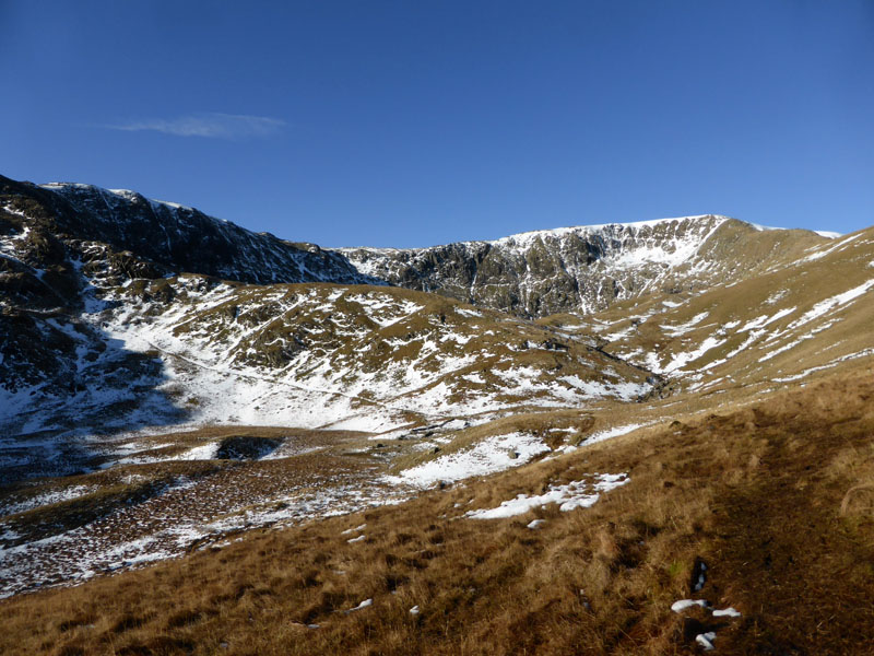
Blea Water Beck
It's Monday morning, there's nobody about, this is what I bought my boots for!
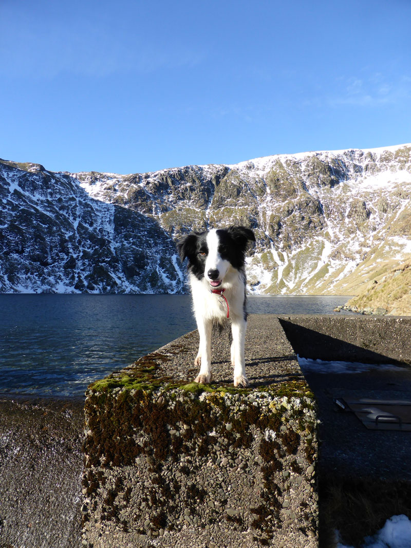
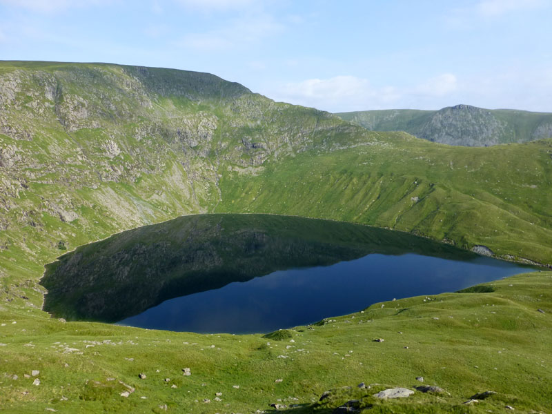
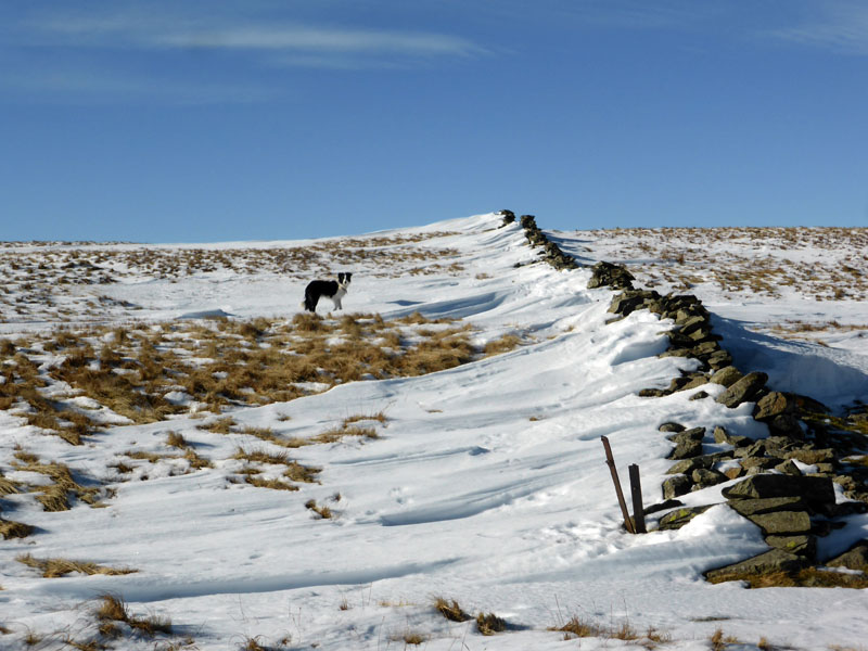
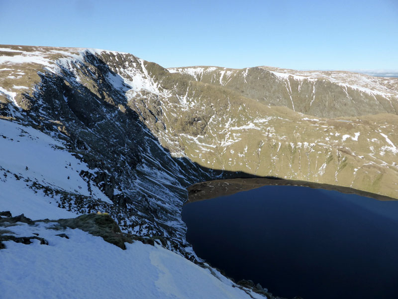
Molly at Blea Water
Molly had a swim in Lakeland's deepest tarn. There was a gentle trickle of water over the dam, occasionally increasing in noise and volume, making me wonder why these little pulses occur.
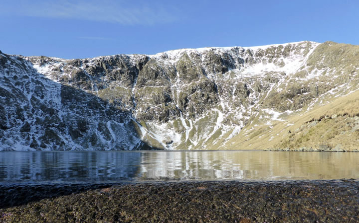
Blea Water Crag
 |
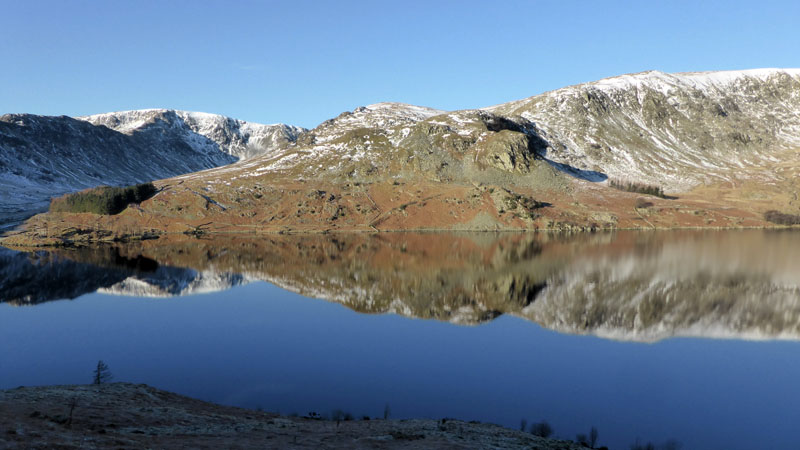
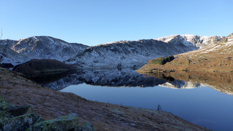
 |
Winter at Blea Water |
Summer at Blea Water |
My last walk up this route was in July 2013.
Blea Water Beck
Looking back down the beck to the corner of Haweswater.
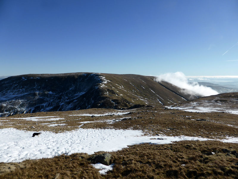
Mardale Ill Bell Summit 2,496ft asl
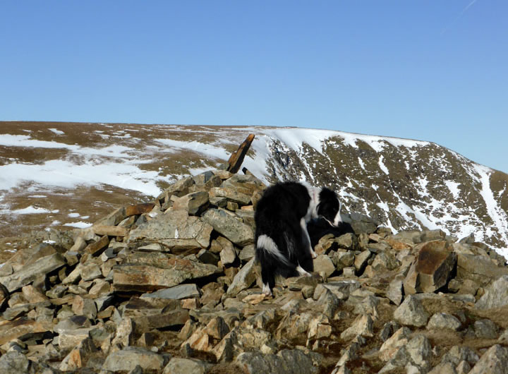
Always plenty of sniffs at summits, crumbs and stuff. Now where next? Thornthwaite Beacon draws the attention of the eye.
Ill Bell Ridge
A whisp of mist close to Froswick on the Ill Bell ridge.
Snow Drifts
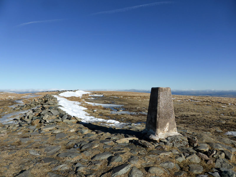
Thornthwaite Beacon
Is it me, or do most folk arrive at the beacon at lunchtime? It is often somewhere near the midpoint of high level walks. Furthermore there is plenty of seating and good views in most directions.
 |
 |
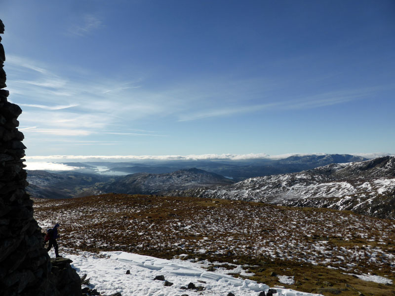
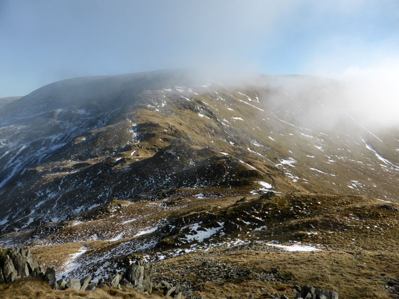
Summit Views
A very little man is stood on the base of the beacon; two other walks head for Threshthwaite Mouth in an westerly direction. We head off to High Street, that summit being just over a mile away.
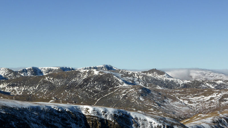
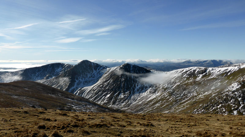
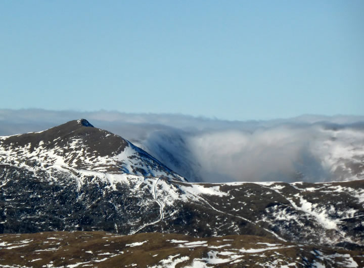
Helvellyn Range
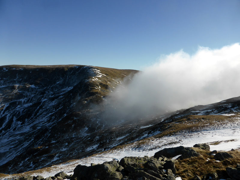
St.Sunday Crag lies in front of the Helvelly Range; mist is pouring over Sticks Pass, to the right of Catstycam (right of photo).
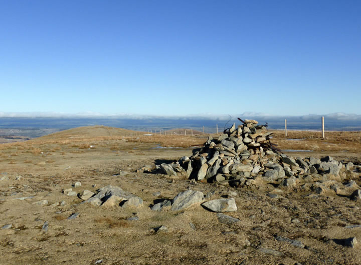
High Street Summit 2,718ft asl
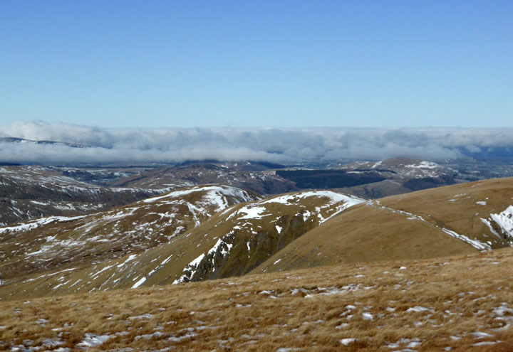
Sticks Pass Mist
There is much to appreciate if you find yourself in the company of these cloudscapes, the only downside being the cool and dull valley walks underneath and within the mists.
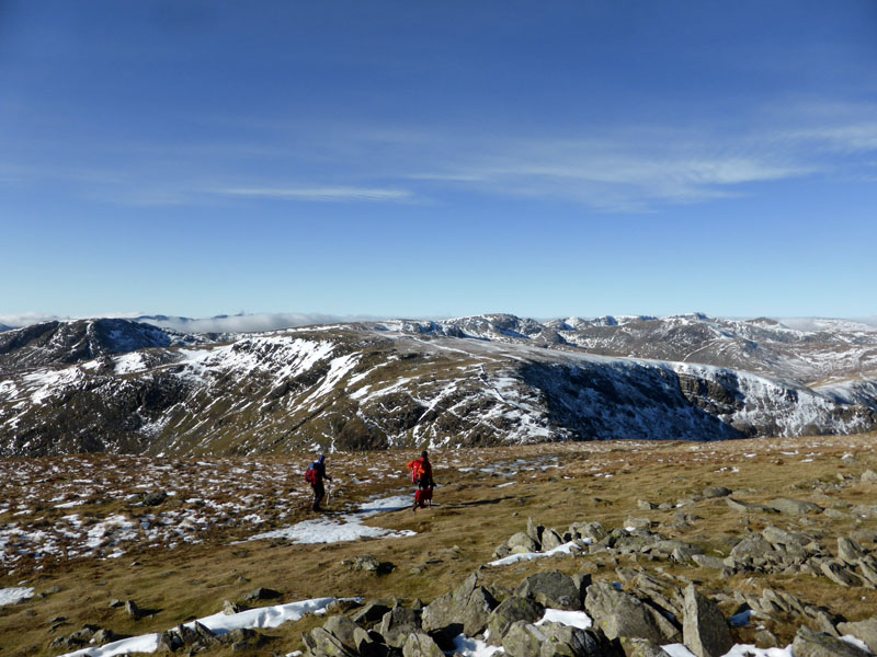
Look North
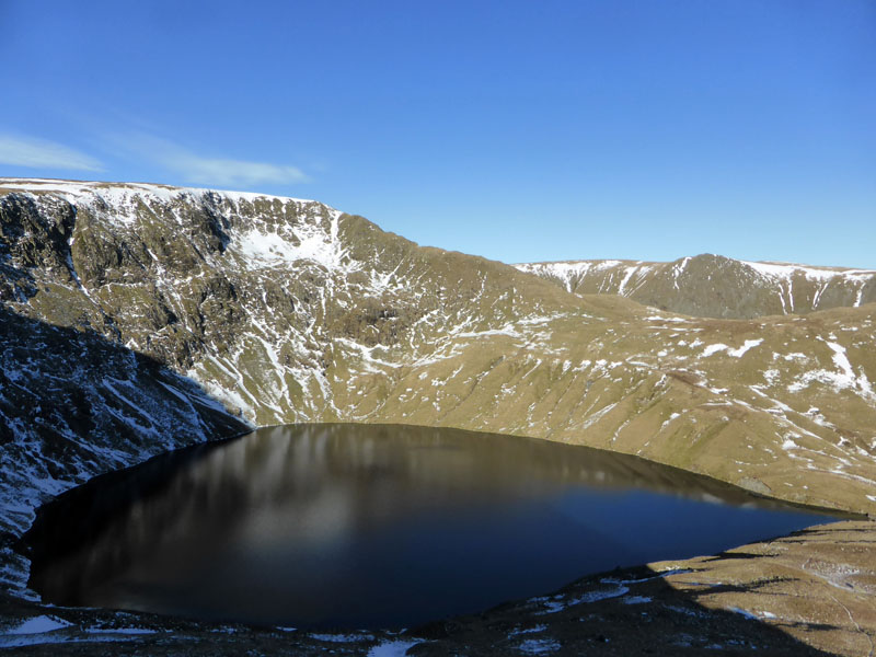
Blea Water
I chose to head back over Mardale Ill Bell for an ascent of Harter Fell, anything less would have been unacceptable on such a fine day.
To Harter Fell
 |
 |
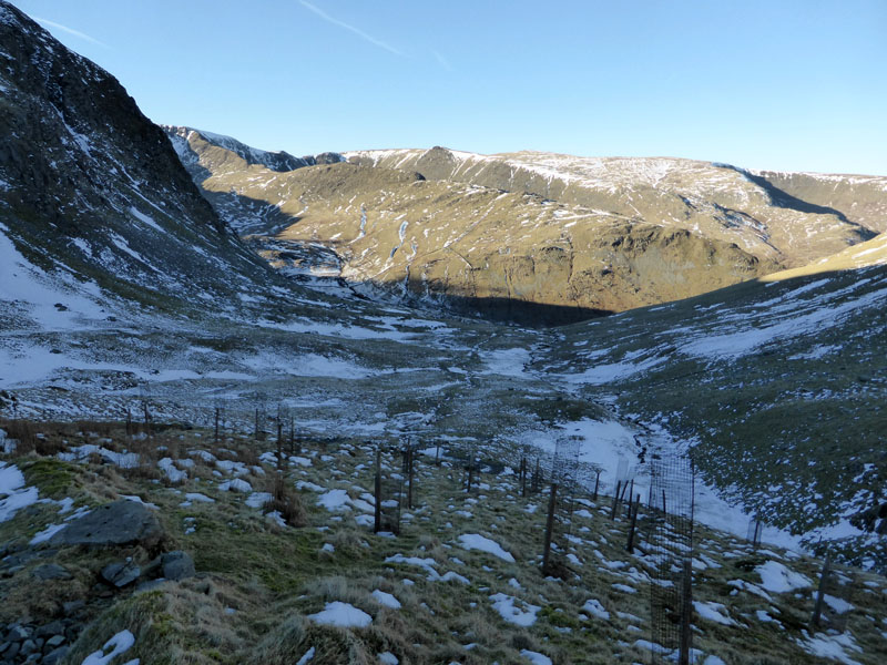
Nan Bield Pass
The route down to the head of the pass and then back up the other side.
Harter Fell Summit 2,539ft asl
Haweswater
Wainwright offered a self-portrait from up here, let's have a go ....
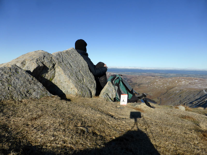
Me at the "Third Cairn"
You will have to refer to Book 2, I need a companion to take the photo or to use a higher tripod.
 |
 |
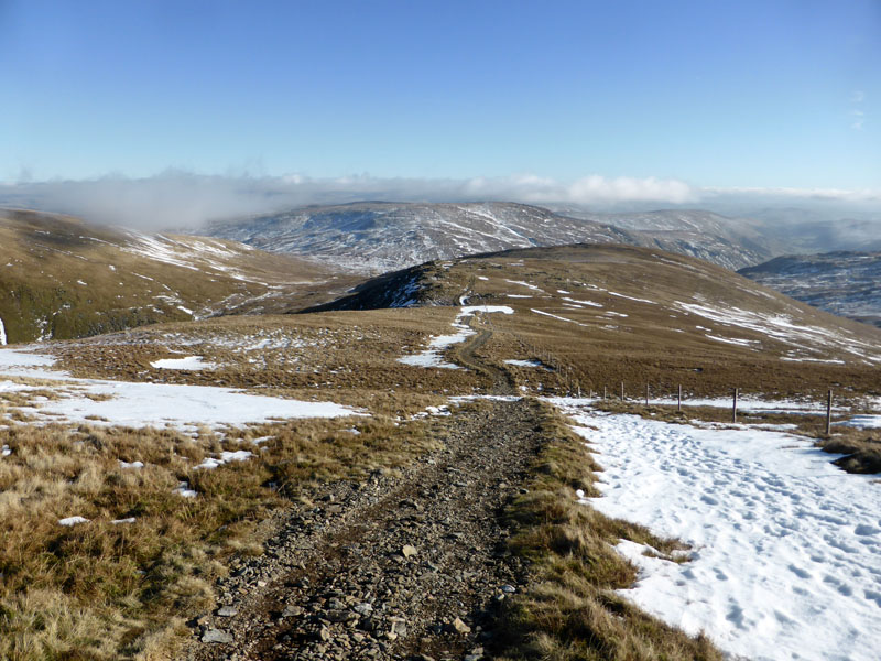
To Gatesgarth Pass |
Down Gatesgarth Pass |
An easy descent route down to Gatesgarth Pass to complete the walk.
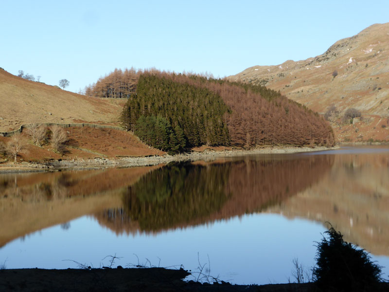
The Rigg, Haweswater
Walkers: Me n' Molly
Time taken: 5hrs 15mins over a distance of about 10 miles.
Route: Mardale Head, Blea Water Beck, Blea Water, North Ridge to Mardale Ill Bell summit, Thornthwaite Crag, High Street, Mardale Ill Bell, Nan Bield Pass, Harter Fell, Gatesgarth Pass, Mardale Head.
Weather: Cold, dry and sunny.
Footnote: Me n' my pocket cameras have been reporting on walks in this manner for five years now. It cannot go on forever, but in the meantime, I'll carry on .... all we need is a little blue sky and sunshine ...
All photos copyright Richard Ratcliffe 2015 ©
Take me back to the start ....