
~Gibson Knott and the A591~
13th December 2015
Wintry Scene
Scroll down for photos and a description of the walk....
 |
 |
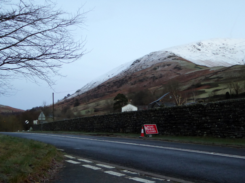
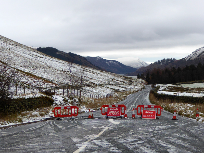
A591 - Closed |
Storm Damage |
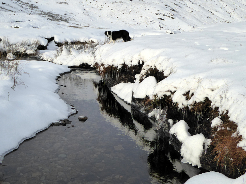
I quite understand the authority's parking policy in Grasmere, but I won't pay to park unless it is absolutely necessary. Lots of free roadside parking on the A591 - until the parking meters arrive! Also, if walkers could be offered more affordable parking in Grasmere, they might then spend their spare pounds in the shops. The A591 is closed, more later. The river crossing here has been compromised; not a lost bridge, but maybe dislodged stepping stones?
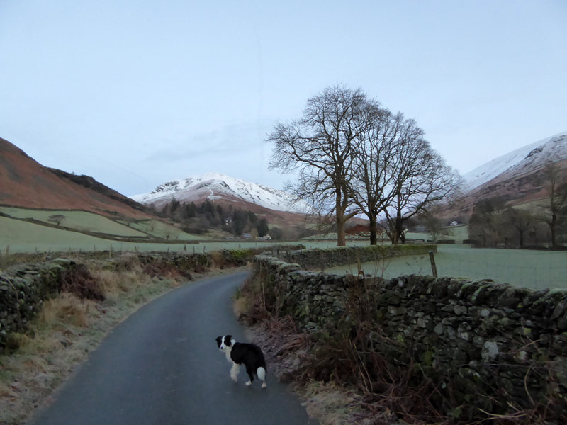
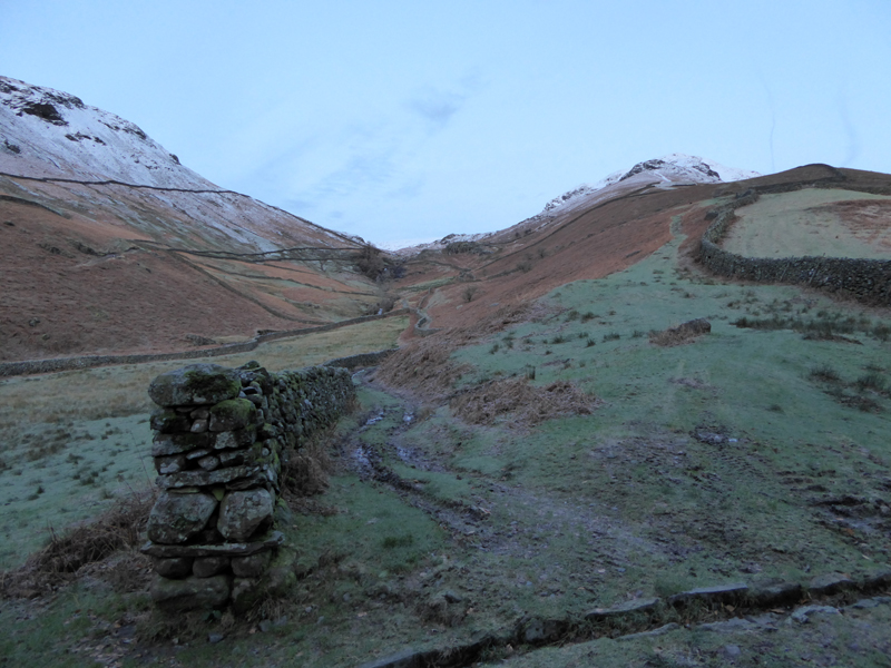
To Ghyll Foot
This walk route involves territory on three out of four of the OS Expoler maps of "The English Lakes" and I needed to carry two of them. We started the walk at 08:00hrs and are heading for Ghyll Foot for an ascent to the ridge between Helm Crag and Gibson Knott.
 |
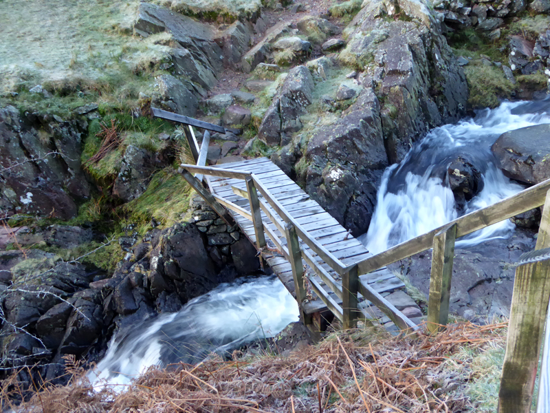 |
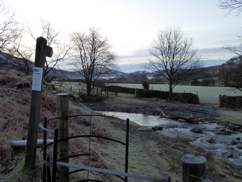
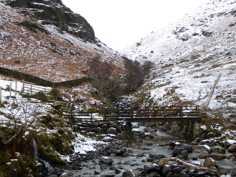
Greenburn |
Damaged Footbridge |
Storm Desmond (I fell a tad sorry for all the innocent Desmond's of the world) wreaked havoc with high winds and persistent heavy rain. This footbridge survived, just. The route up to the ridge has been zig-zagged and that's fine by me.
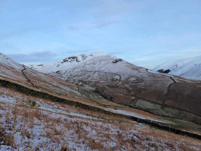
Steel Fell
This is our first walk in the Lakeland Fells since...a long time ago, October-ish. The wind and rain are no comfort for a walker with a camera and those of us that work all week are restircted to viewing only the weekend forecasts. I reckon six out of the last seven Saturdays have been unpleasant - and the other was bloomin' freezing!
 |
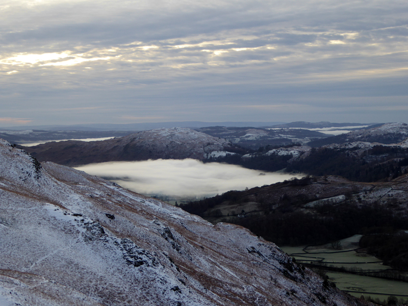 |
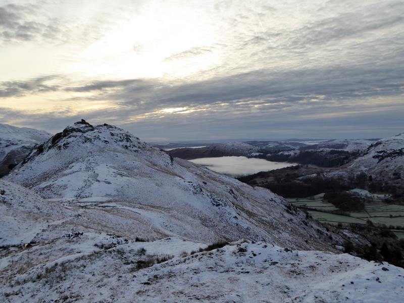
Misty Grasmere
Windermere and Grasmere are still under the morning mists. Helm Crag (left) is often the first fell on a walk to Gibson Knott and beyond, but I've done that before and so chose something different.
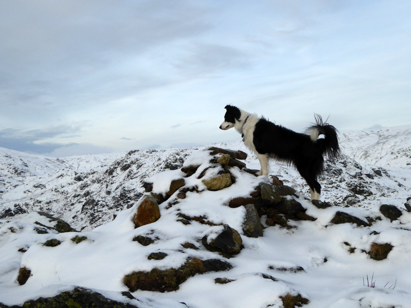
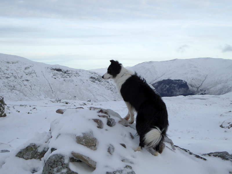
Gibson Knott Summit 1,379ft asl
Mountain profiles are a little indistinct today with snowy landscapes merging with the less-than-blue sky.
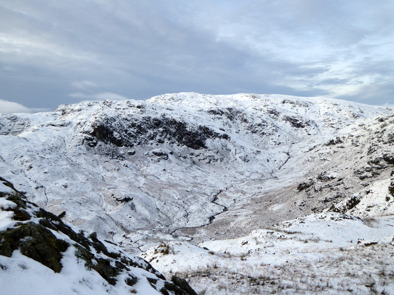
Far Easedale Gill
To Calf Crag
Next up, Calf Crag. Most years, I give Calf Crag a miss, it is not in my top fifty. But this will be the second time this year that Molly and I have reached the summit, fascinating isn't it (not)!
 |
 |
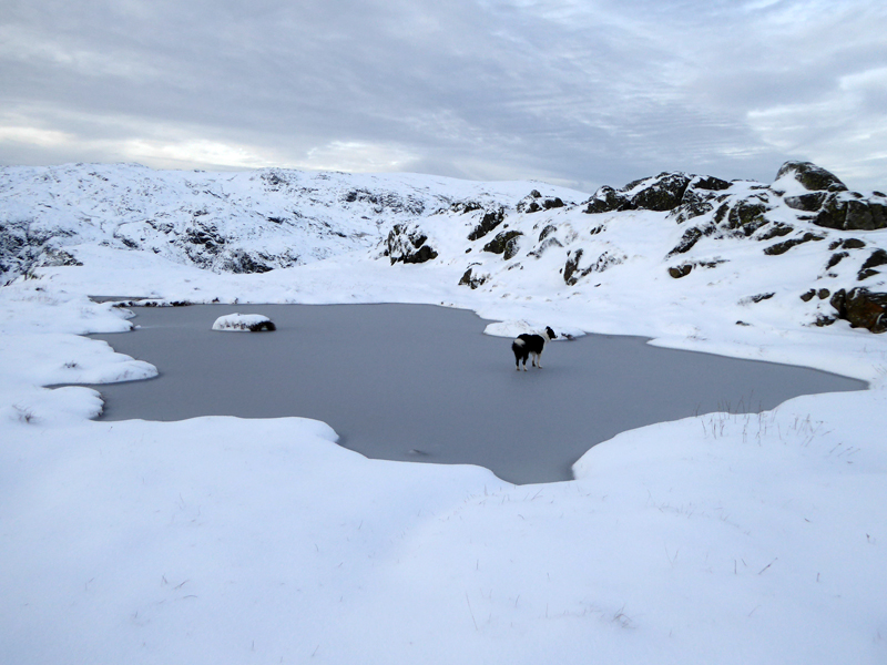
Pond Skating |
Calf Crag Summit 1,762ft asl |
I did not encourage Molly to go on to the ice and would rather she hadn't; soon we are on top of Calf Crag. It's not easy plodding through the freshly-fallen and semi-frozen snow, which also serves to hide paths and dangers.
~~~
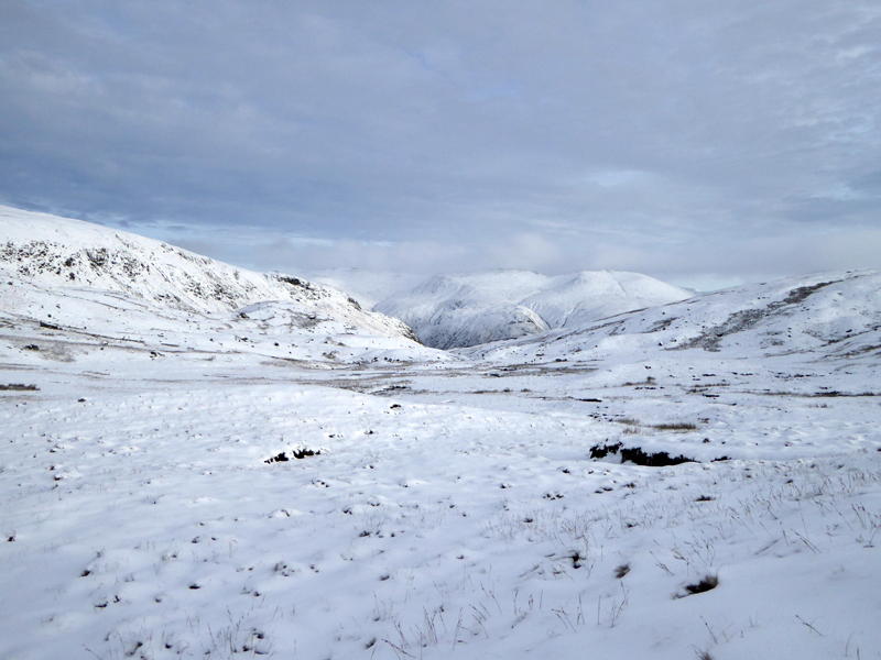
To Wythburn Head
The next bit was untidy and unpleasant for both of us and not something I can recommend, more so as I couldn't find the expected path.
Wythburn Head
We are heading for Steel End at the southern end of Thirlmere for a look at the damaged road.
 |
 |
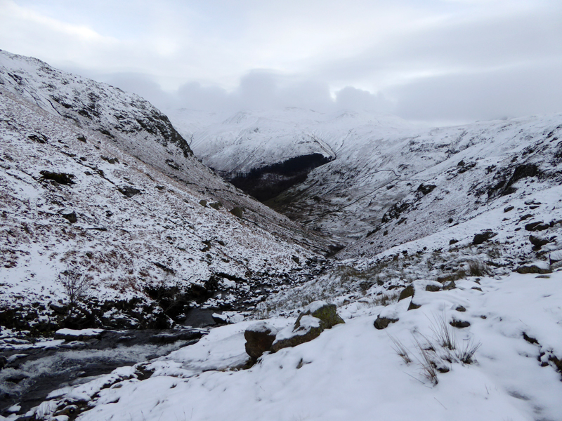
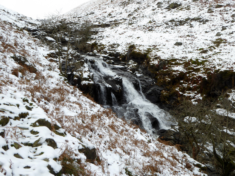
Waterfall |
Wyth Burn |
Wyth Burn hosts a series of fine waterfalls and boasts a surviving footbridge. I would venture to suggest that we were the only beings in Wyth Burn today - you would have to be slightly unhinged or mad to make this choice after heavy rain (!). Also, there is no vehicular access to the Wythburn car park at the moment.
Landslip - Steel Fell
Just one of loads of landslips after the heavy rain within the Lakeland Fells. This one has scarred the landscape and destroyed the fence in the foreground. We walk past Steel End Farm and notice damage to the back road around Thirlmere, then arrive at the A591 to find The Army, no less.
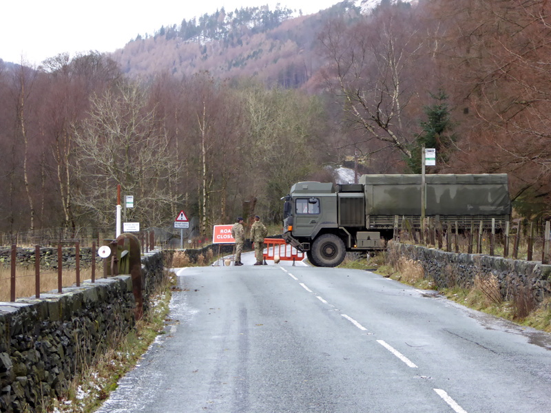
Army Involvement
A local MP called for the army and here they are, but it was not entirely clear what they were doing. It is difficult to imagine how any vehicle could reach their position, but if it does, they will be turned away, no doubt. How did they get there?
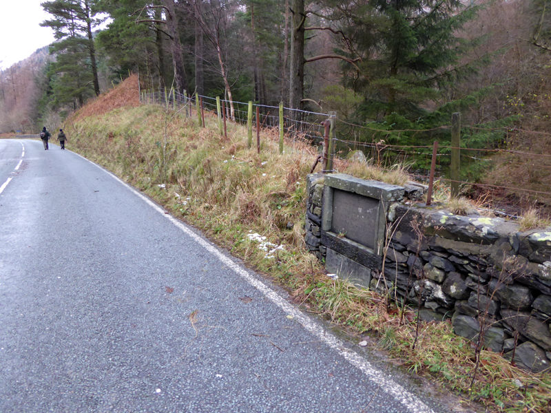
The Memorial Stone - A591
Readers of the fine detail in Wainwright's Books will have known to expect the prescence of this stone and I was looking for it. I'm not going to tell you what it says - go and take a look for yourself before the heavy machinery moves in.
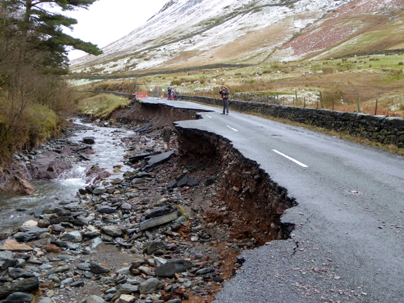
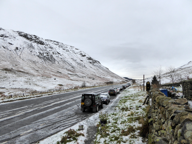
The Distressed A591
Walkers are warned not to proceed beyond the fencing and therefore do so at their own risk. The situation has given rise to a kind-of Tarmac Tourism. I think I was the only one who had walked several miles to reach the scene - the rest had their cars at the top of Dunmail Raise.
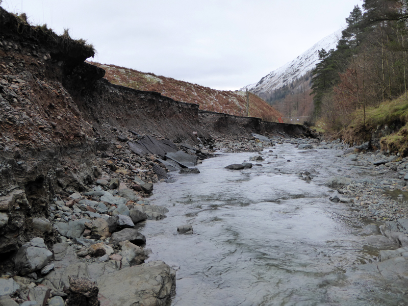
Raise Beck
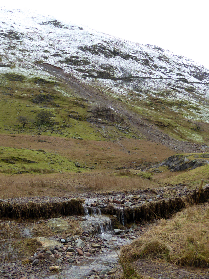
I have worked it out. Don't mess about with temporary solutions. Get the experts in; put the road on stilts / a bridge - leave plenty of space for the river. Don't widen the road, but maybe consider a footway from Dunmail Raise to Wythburn. They'll need a workers' village and I found just the right field behind Steel End Farm. Concrete will be mixed on location, bring all supplies in from the Keswick end. Get on with it and it should be ready by .... May?
Field - Workers' Village?
When Will I Drive Here Again?
When will we share precious tarmac? It appears to me that the road was built on glacial morraine and not solid rock - hence the rapid erosion under extreme conditions. One storm-snooper was unhappy that the gritters had not been up .....
Dunmail Raise
It is quite normal to park here for a mountain walk, just now you could park in the middle of the road if you wanted to.
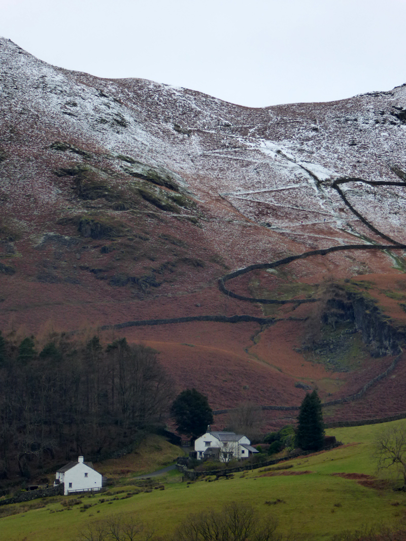
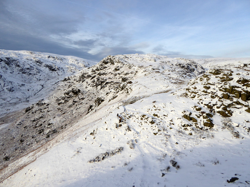
The Helm Crag / Gibson Knott Zig-Zags
So, we walked all the way down the road, quite a pleasant change to the boggy bits that we had to endure on the way down to Wythburn.
Did you see the real impact of the flooding? Displaced families in Carlisle; ruined businesses in Cockermouth and Braithwaite, Appleby and Keswick. There is a fundraising effort by The Cumbrian Community Foundation. My donation was simply some of the money I have saved by not driving to the Lakes over the last few weeks, so really it hasn't cost me anything. As Bob Geldof once said "*&^%£@#!"
Walkers: Molly The Dog and Me.
Weather: Calm, dry, clouding over as the day progressed.
Time Taken: 5 hours and 40 minutes over a distance of about several miles.
Refreshments: Tea and Tiffin at Baldrys in Grasmere- where else?
All photos copyright Richard Ratcliffe 2015 ©
Take me back to the start ....