
~Clitheroe to Colne~
29th August 2015
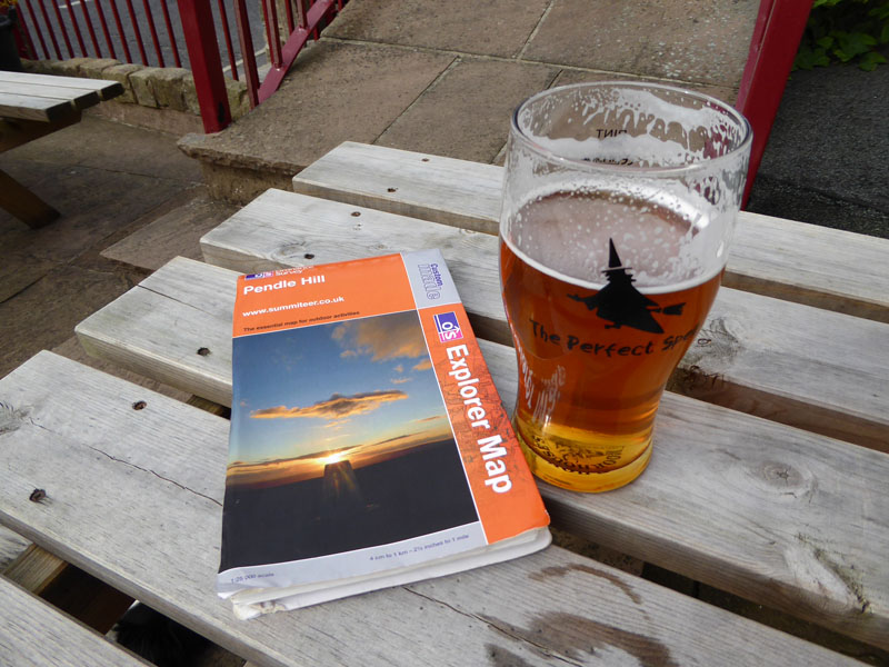
Mid-Walk Refreshment
There's more than one way to get from Clitheroe to Colne. Pendle Hill sits firmly in the way, roads weave around the obstruction and railtracks take a long way round. Cyclists have their own ideas ...
 |
 |
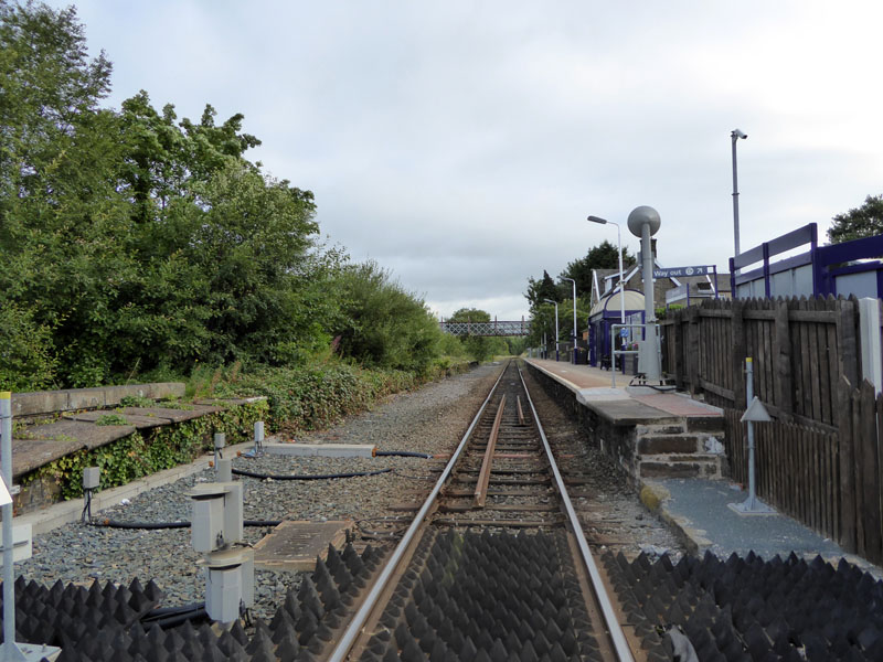
Brierfield Railway Station |
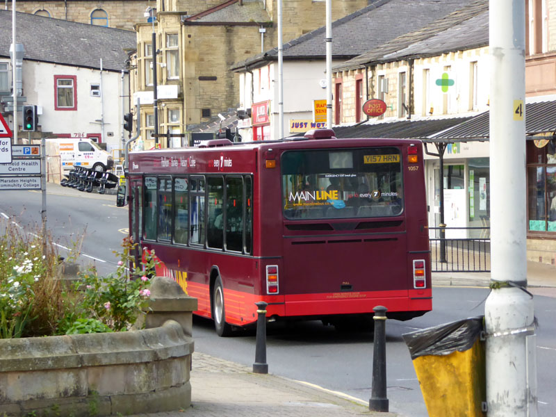
No.27 Bus |
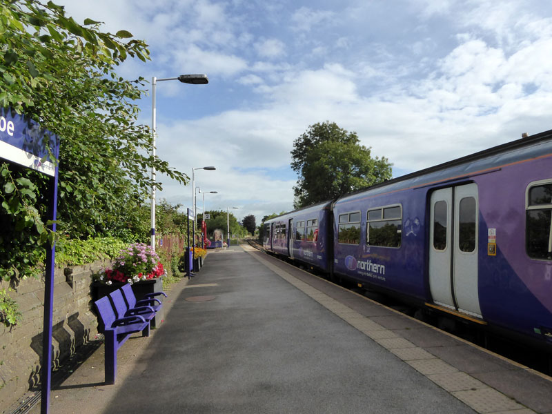
Today's journey starts at Brierfield Railway Station and we catch the 08:29 which is destined for Blackpool. We have to change at Rose Grove for the York / Clitheroe train which reverses at Blackburn before heading to the destination in the Ribble Valley. In Brierfield, a No.27 bus appears with its destination board revealing "Clitheroe". I prefer trains.
 |
 |
Train 1 leaves Rose Grove |
Train 2 arrives at Rose Grove |
 |
 |
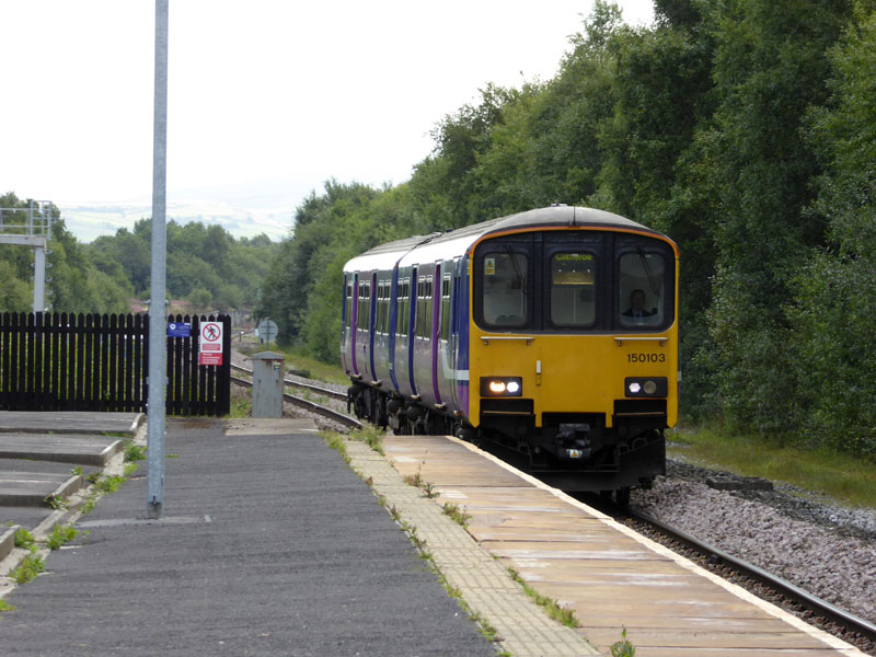
Clitheroe Railway Station |
Walk Start Point |
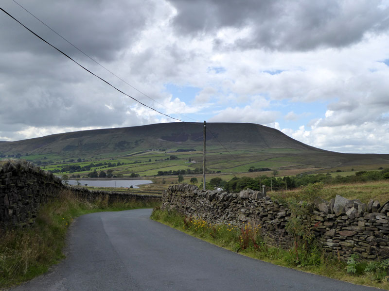
Rose Grove once had a railway shed capable of housing 50 steam locomotives - it was one of the last three steam sheds to close (in 1968). The reversing train at Blackburn is a temporary arrangement whilst the Farnworth Tunnel is repaired. The walk "proper" started at this signpost on the road to Sabden, just outside Clitheroe centre.
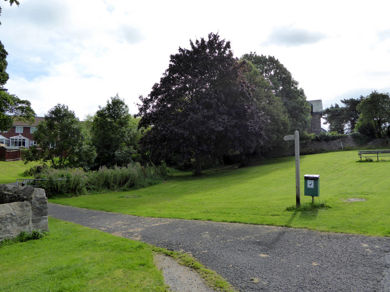
Fields
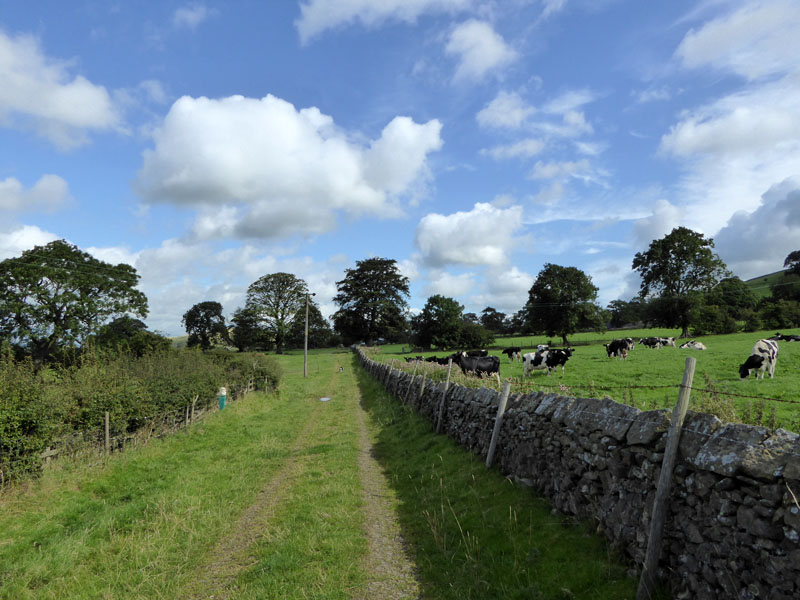
Fields take walkers to the A59 for a cautious crossover to the farmland beneath Pendle Hill.
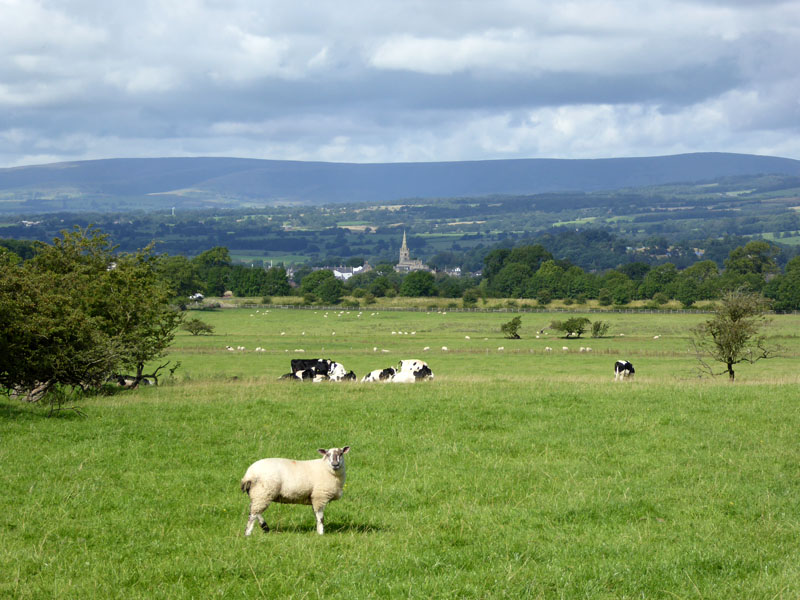
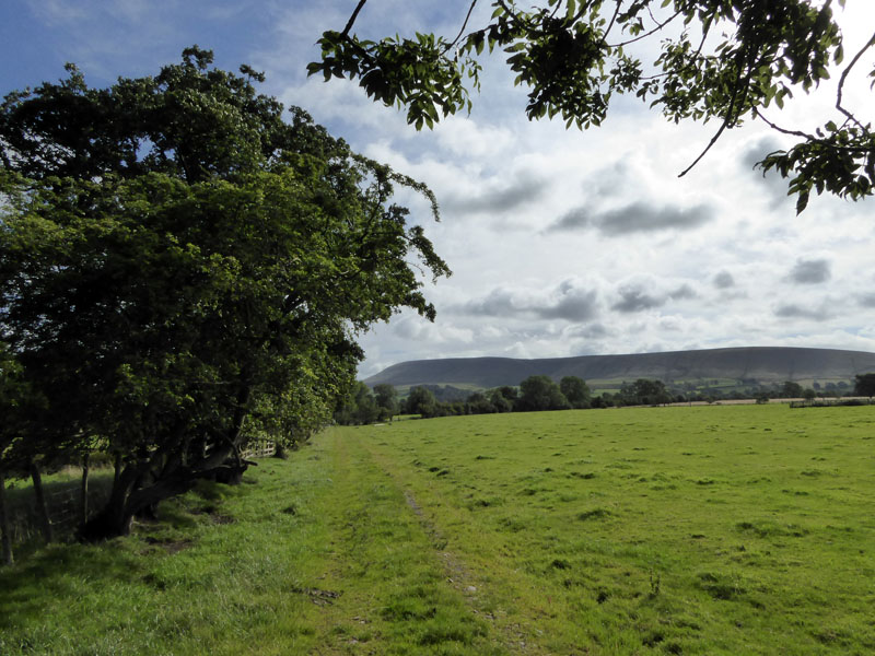
Cows
Cows force a wide detour en route to Mearley Hall, this is the view back towards the herd who spotted us, but were not interested in bothering us as we walked around the field perimeter. Bowland Fells in the background.
 |
 |
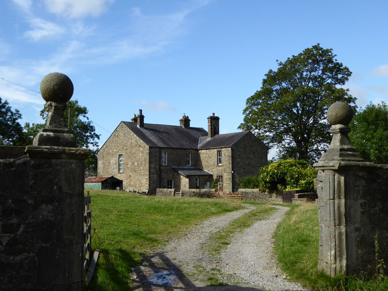
Mearley Hall |
Lane Side |
At Mearley Hall, the path turns sharp right for Lane Side and then Little Mearley Hall. The route through the farmyard next to LMH is not a public right of way, but seems to be established as an acceptable and safe route to the foot of Pendle Hill.
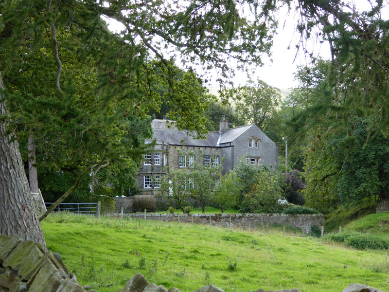
Little Mearley Hall
Grade II listed C16th building with later alterations.
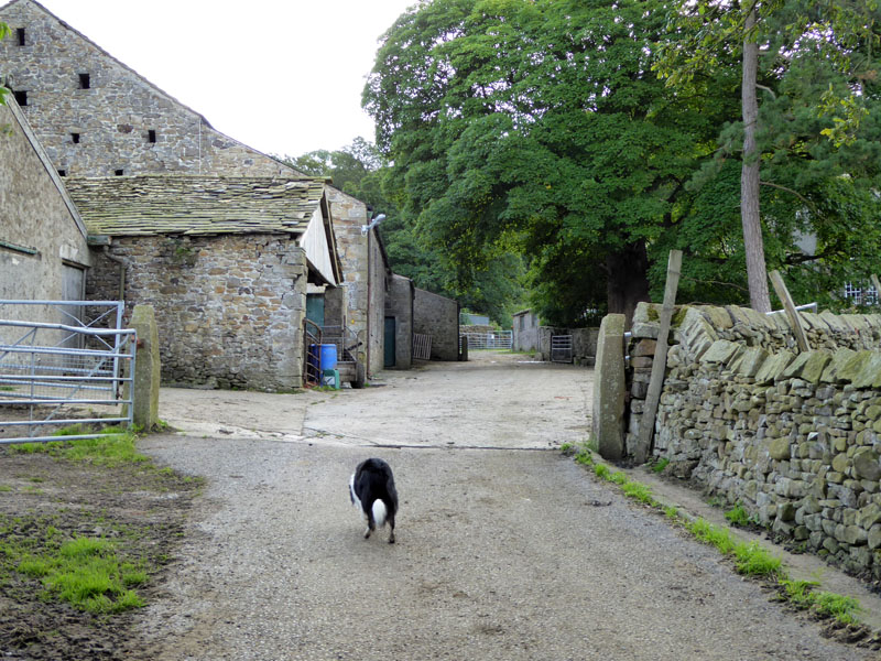
Through The Farmyard
Molly was put on the lead just after I took the photo - private property with the anticipation of farm animals therein. In the event, no animals on the loose and no farm staff in the vicinity.
Mearley Brook
After the farm, walkers are offered dense deciduous woodland in the form of Little Mearley Wood and soon thereafter the view to the steep ascent of Pendle appears, next to Mearley Brook.
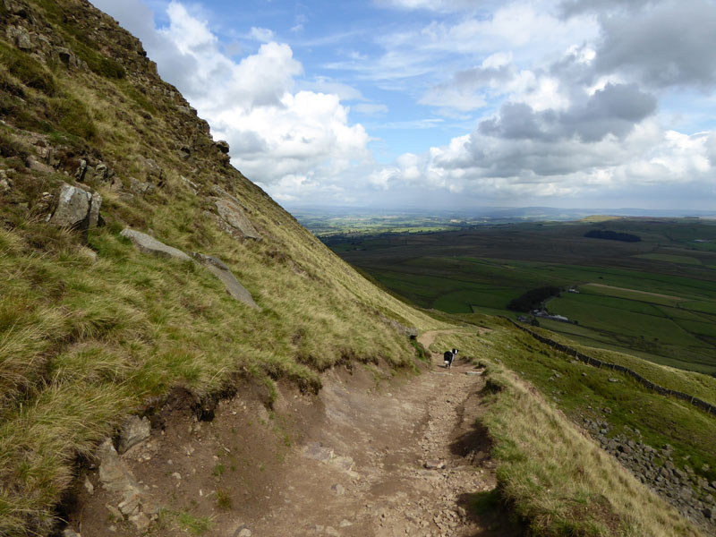
Steep Climb
Molly can't understand why I am so slow!
 |
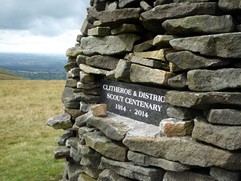 |
Ribble Valley |
Scout Centenary |
This way up seems much tougher than my usual ascent routes.
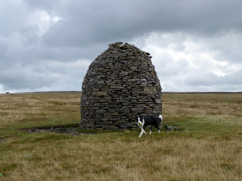
Scout Cairn, Pendle Hill
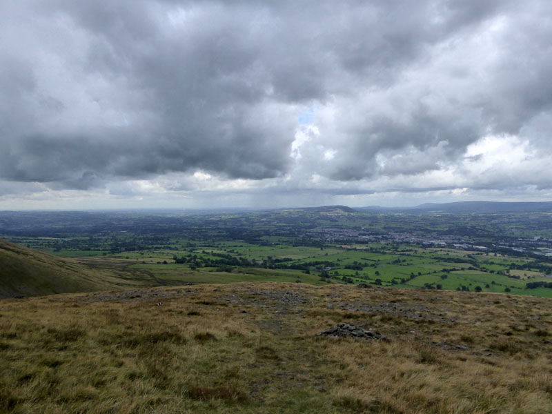
Its now quite chilly up here and there is a possibility of showers, the shelter can be seen further away.
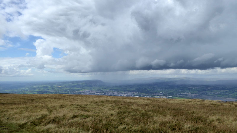
Shower Over Longridge Fell
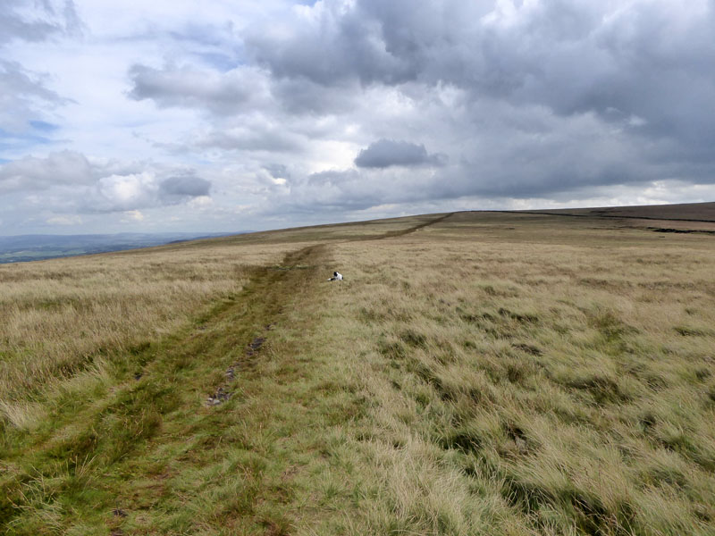
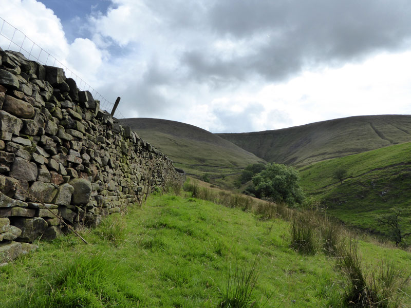
Between The Stiles
A well-worn and occasionally boggy path links the two stiles. This territory is all part of "The Big End" of Pendle Hill, a term best understood when viewed from a few miles away.
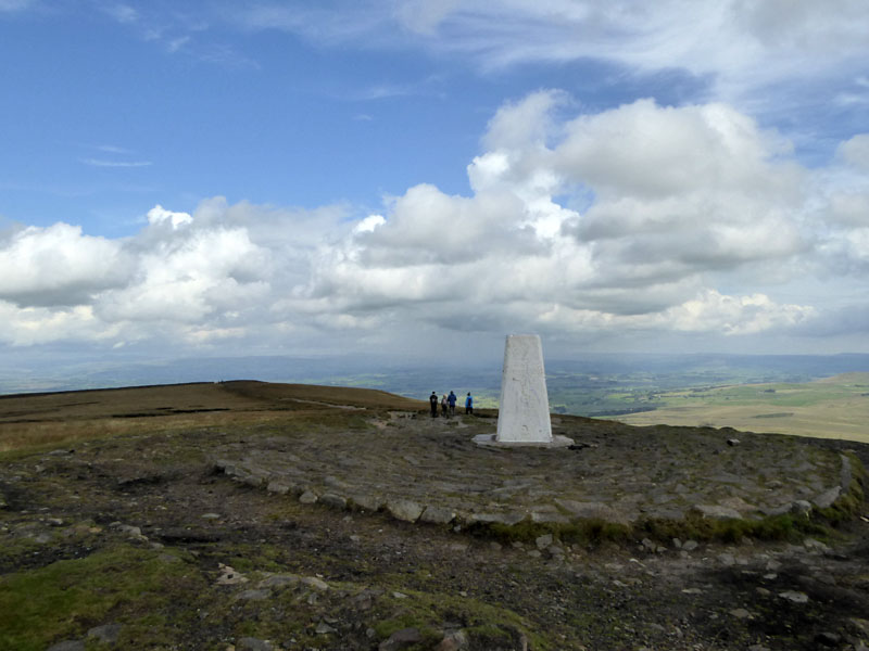
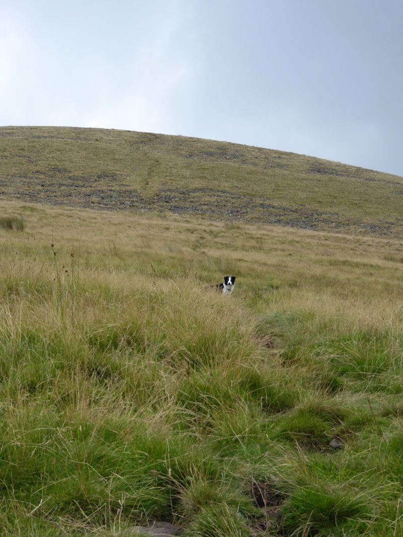
Pendle Summit
The little people are back at the top. This is my long Pendle walk of the summer, I generally try and make one of the ascents into a bit of something different. Number 39 for this year, so far.
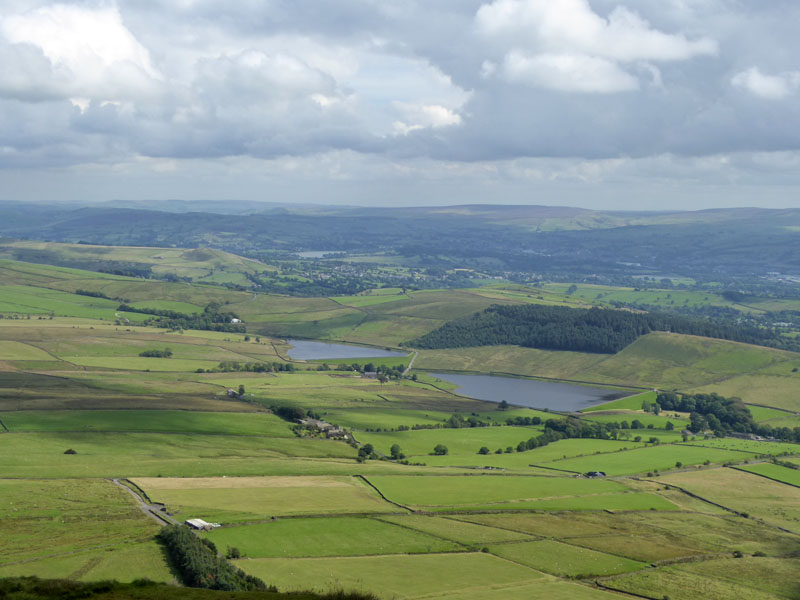
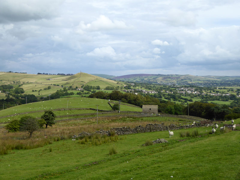
Black Moss
Much of my route ahead is in this photo, the walk crossing fields and going between the two Black Moss Reservoirs before heading to Stang Top and then Blacko.
Descent Route
 |
 |
Local Villages |
Pendle Hill |
 |
 |
To Blacko |
Blacko |
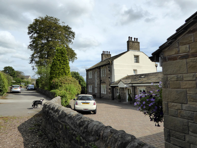
The route from Stang Top to Blacko is a little less than obvious at times, but we managed and behind the main road through Blacko, there are a number of attractive homes.
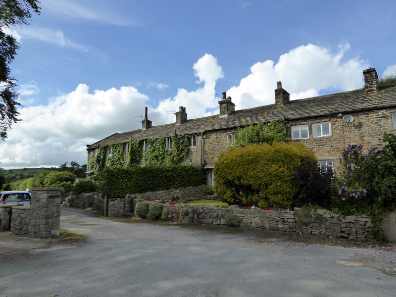
Blacko Cottages
Off the main drag, these cottages in a wonderful location.
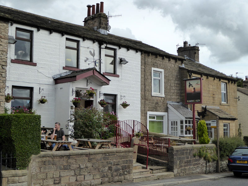
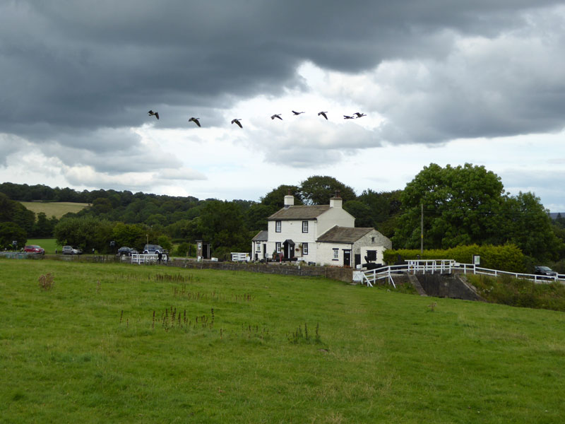
The Rising Sun, Blacko
Time for refreshments. A pint of shandy and a bag of crisps from this "Moorhouse Brewery" pub.
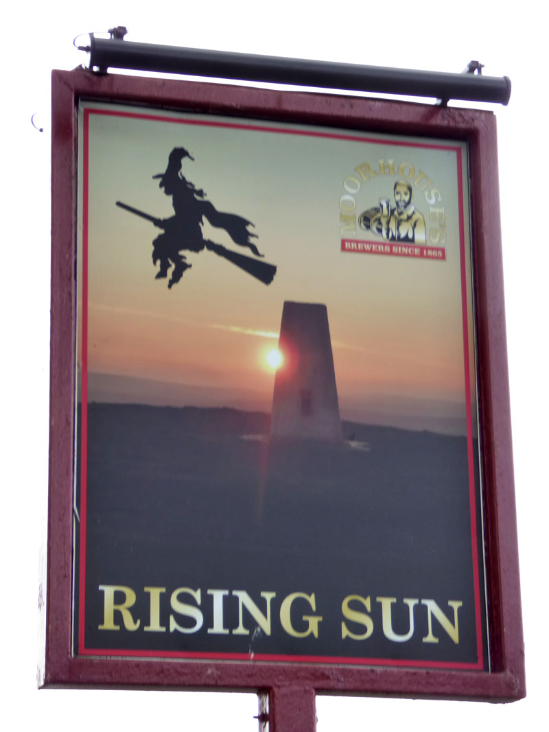
The pub sign caught my eye sometime last year. Research revealed that they had used one of my photos in the sign - without permission. The trangression was easily rectified and a donation made to the local hospice. Incidentally it's a sunset.
 |
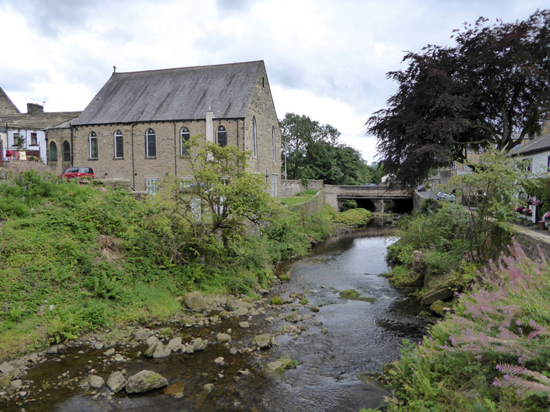 |
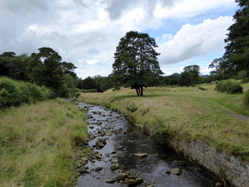
Water Meetings |
Higherford |
We walked down to Water Meetings and along to Higherford. After crossing the Leeds & Liverpool Canal at the Lock-Keeper's Cottage, we carried on to Colne up Barrowford Road and along to the railway station.
The Lock-Keeper's Cottage
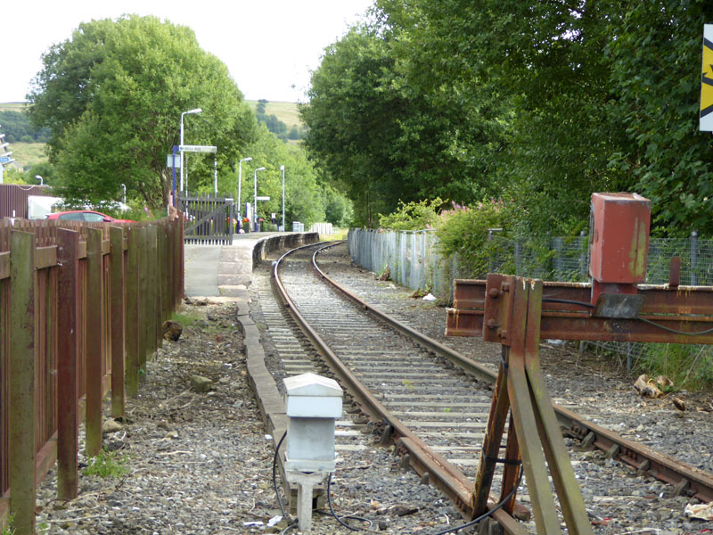
Colne Railway Station
So, that's how to get from Clitheroe to Colne on foot.
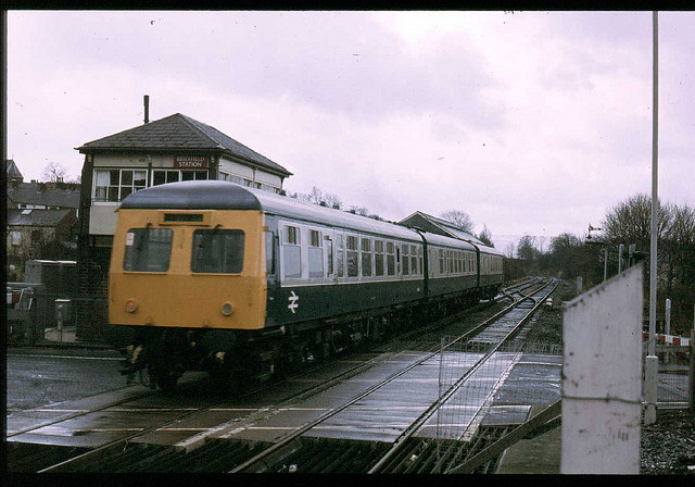
A "Swindon" DMU at Brierfield c.1983
photo courtesy of Bennno1 on Flickr
You can also cycle from Clitheroe to Colne, or watch others do just that: Stage 2 - Tour of Britain 2015 - this link may expire after the event.
14 miles walking, 6hrs 30mins.
All photos are copyright Richard Ratcliffe 2015 ©
Take me back to the start ....