
~Birks to Birkhouse Moor~
1st August 2015
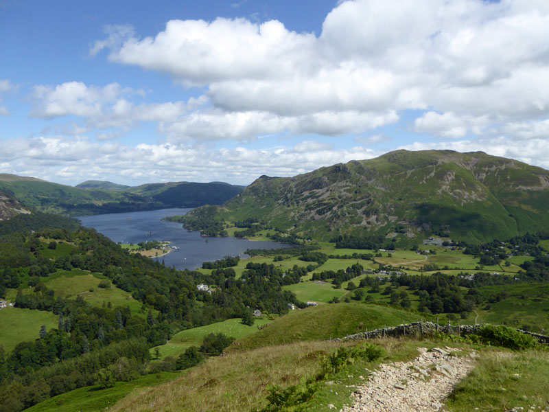
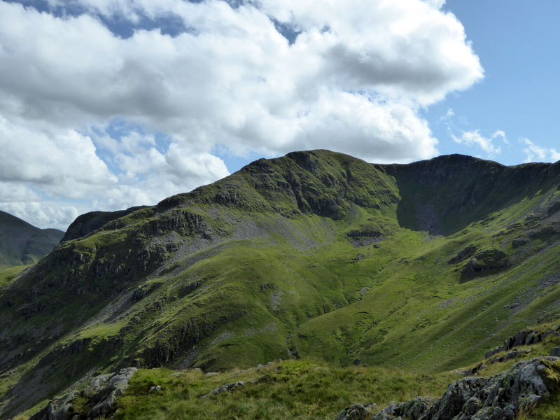
Place Fell from Birks
Scroll down for photos and a description of the walk....
 |
 |
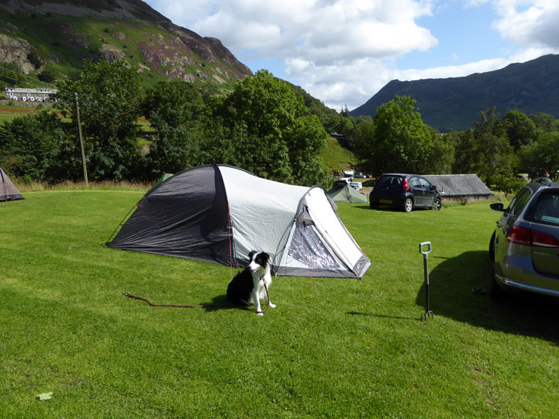
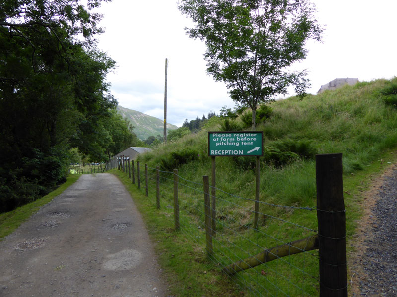
Gillside Farm Campsite |
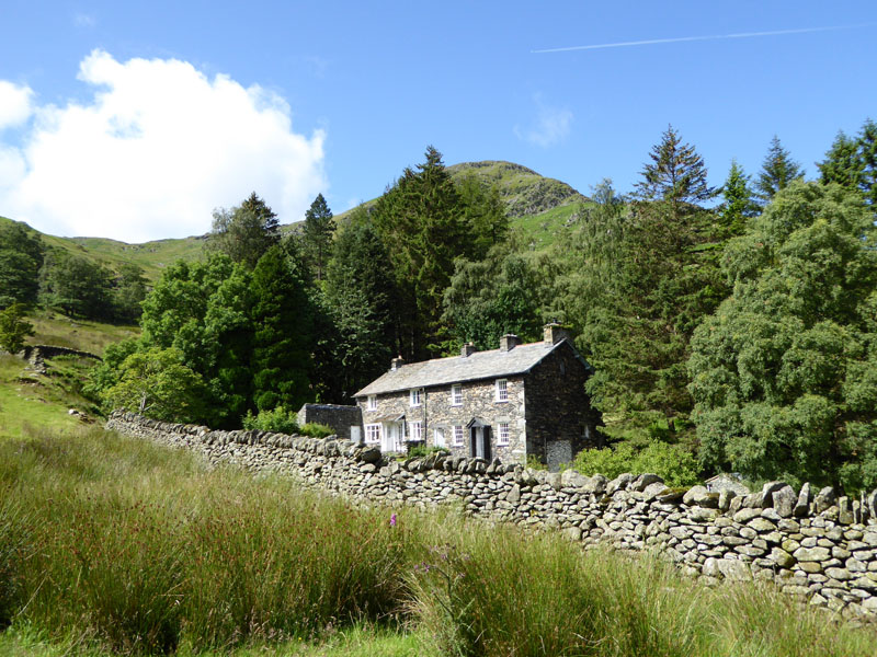
"Hidden" Cottages |
Arriving at Gillside on Saturday morning, the tent is in place, our trademark garden fork in situ and we are ready to start the walk at 11:30hrs. The first target is the nearby fell with the simple name of Birks, neighbour and stepping-stone to St.Sunday Crag.
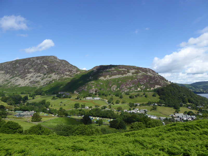
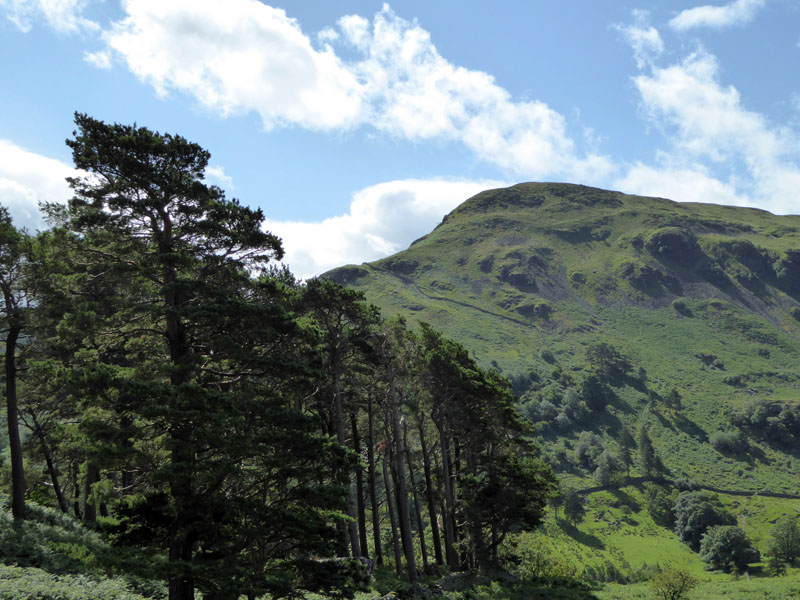
Glenridding Dodd
GD looks well in its summer raiment of heather and bracken. We are heading for the path to Lanty's Tarn, close to the little hill of Keldas. All height gained here will be lost as the route subsequently drops into Grisedale; an alternative low-level route along the road was dismissed as being outside the spirit of fellwalking!
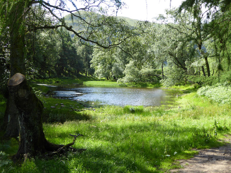
Lanty's Tarn
The man-made and now disused reservoir is actually a large muddy puddle, but it looks nice and flies like it.
Birks
Our first view of Birks. There may be a route up by the wall from Thornhow, but it isn't marked on the map and so we stuck to the plan and made our way to the start of the climb up the ridge from the roadside (on the Patterdale into Grisedale road).
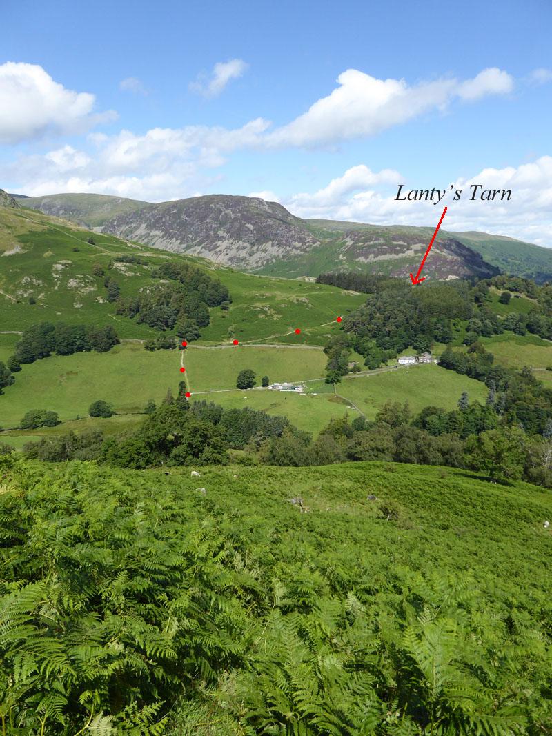
The Route from Gillside
The red dots show the route over the hill from the campsite.
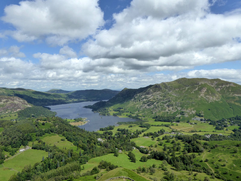
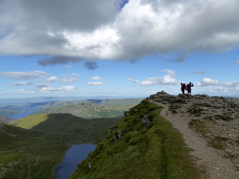
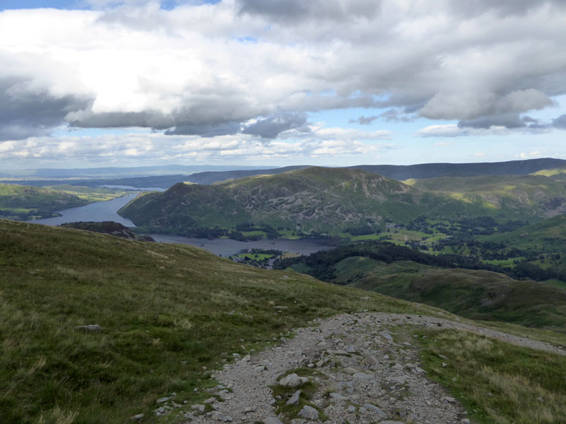
Ullswater
What Birks may lack in terms of interesting features and summit furniture, it counters with this fantastic view of Ullswater and Place Fell. Temperatures may be below par, but this is the height of summer and the verdant pastures along with fully-leafed trees confirm this fact.
 |
 |
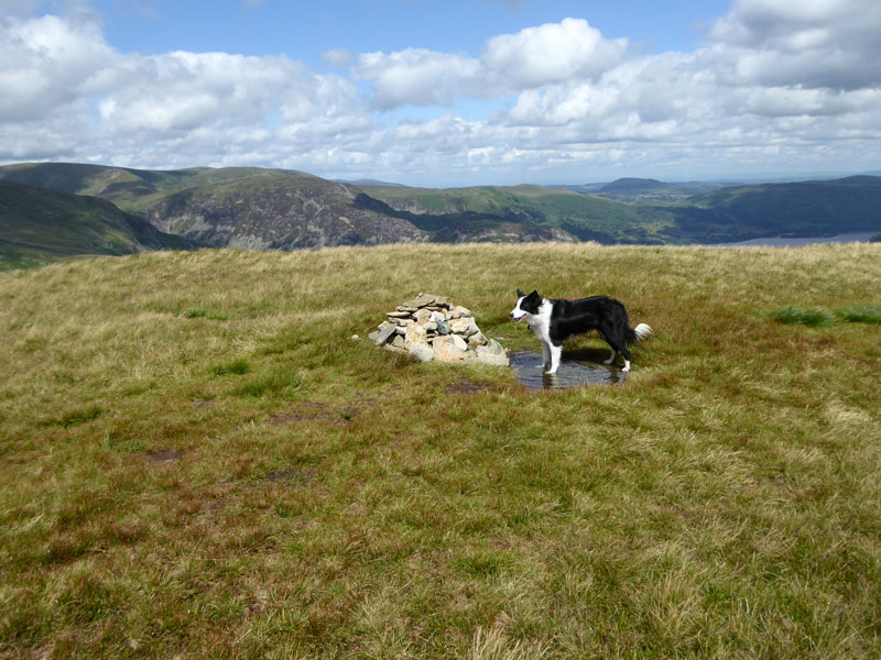
Birks Summit 2,040ft asl
Just a few of the felltops provide drinking water for dogs and Birks is one of them. Our route SW to St.Sunday Crag takes us towards cloudier skies and this is relevant because the ultimate route will be determined by weather conditions. Clearer skies equals more felltops and dull skies / rain could lead to a shorter walk.
Not the Top
This spot would make an excellent summit for any mountain, but it is not the top of anything in particular and so we move on. It is quite breezy up here now and soon we will be without the sunshine which has kept us in good spirits thus far.
Helvellyn Range
Close to the centre of the photograph is Nethermost Pike and after a very misty ascent up the east ridge back in November last year, I am just wondering if today would be a good day to try the route again and see stuff we didn't see last time?
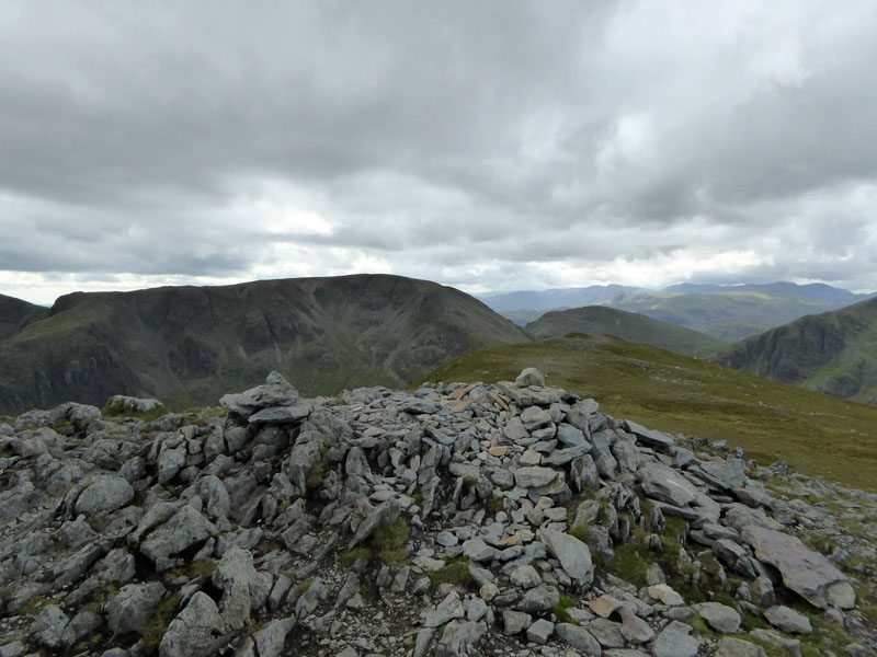
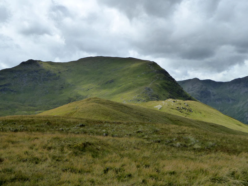
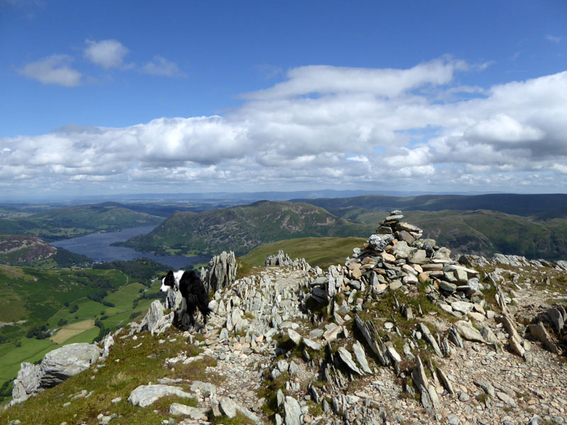
St.Sunday Crag Summit 2,756ft asl
Fairfield is ahead with Seat Sandal to its right. St.Sunday Crag is an attractive mountain, easy on the eye from all directions. No stopping for sandwiches here with the wind chill quite severe.
 |
 |
Fairfield |
Dollywaggon Pike |
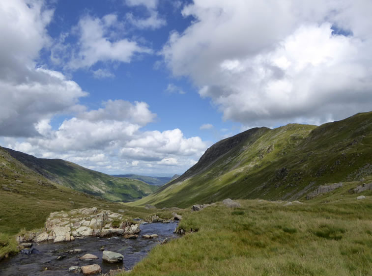
I decided to head towards Grisedale Tarn; we took lunch in a sheltered spot on the way down (right) and the skies appear to be clearing once more. On a different day, we would have climbed Fairfield and then up DP for Helvellyn, but this late start put paid to that.
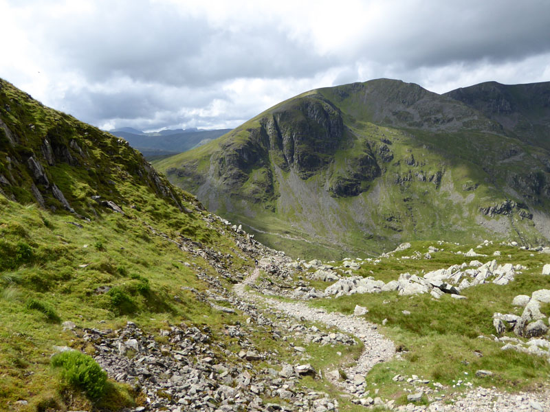
Grisedale Beck
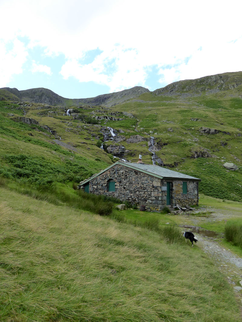
Ruthwaite Lodge
I sat here and contemplated all manner of trivial things, not least why do we allow "them" to empty our pockets with frequent upgrades of mobile phones and the like? What makes Windows 10 so important to you and I? If I get a new laptop with the latest OS, I will need a newer version of the website software etc. etc. Whilst this was troubling me, the sun came out and that repeat visit to Hard Tarn and Nethermost's east ridge became a strong possibility.
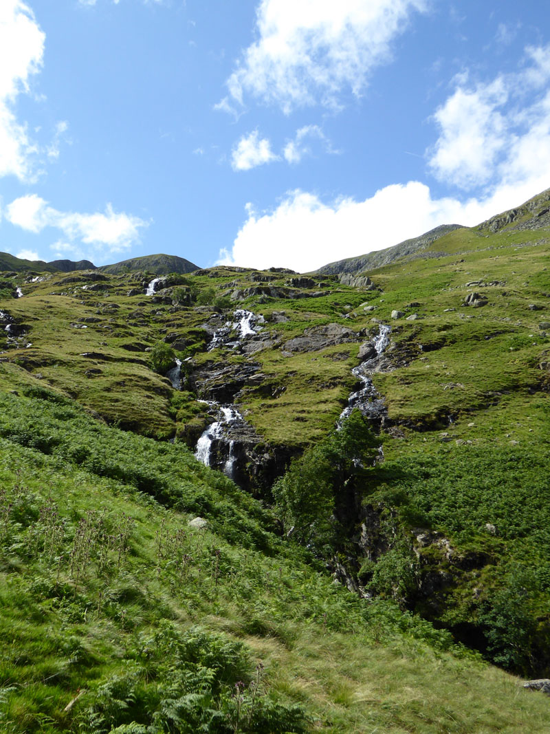
Ruthwaite Beck
It is alleged that botanists will find much of interest in the environs of the Ruthwaite cascades and maybe they will. I just like the water action in bright sunlight with the accompanying noises. There are some flowery plants here and there, if that's your bag.
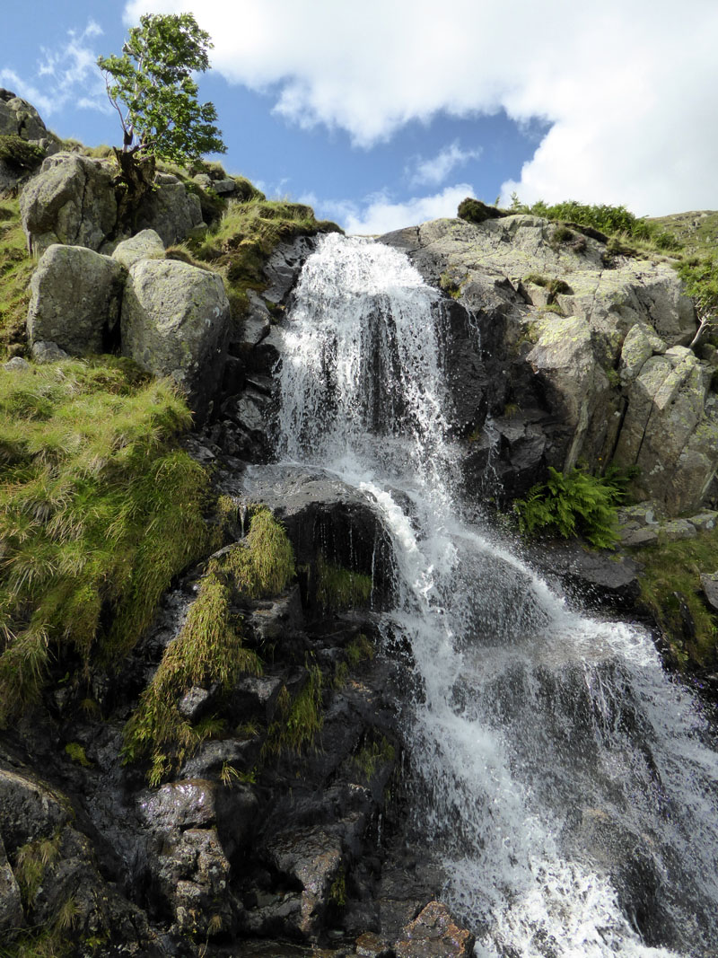
Waterfall (obviously)
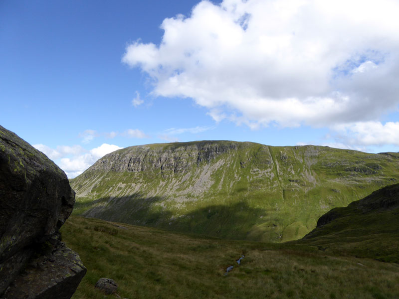
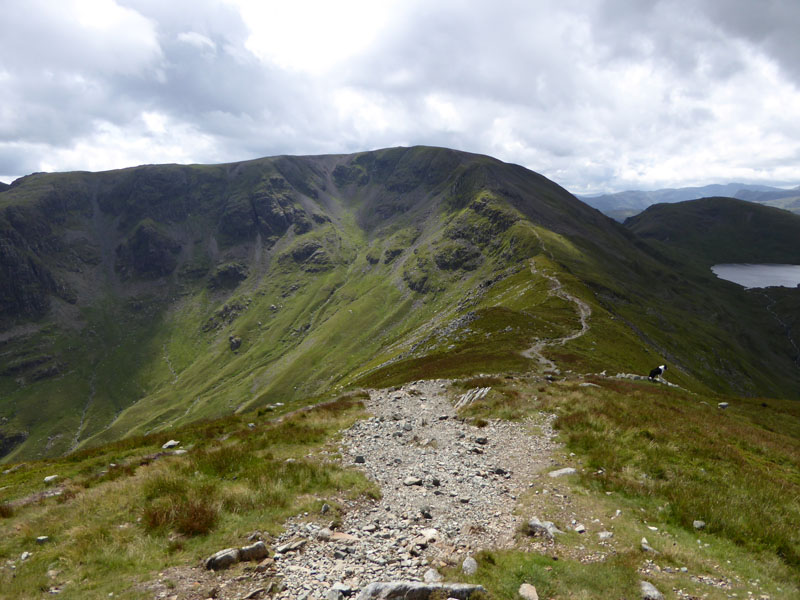
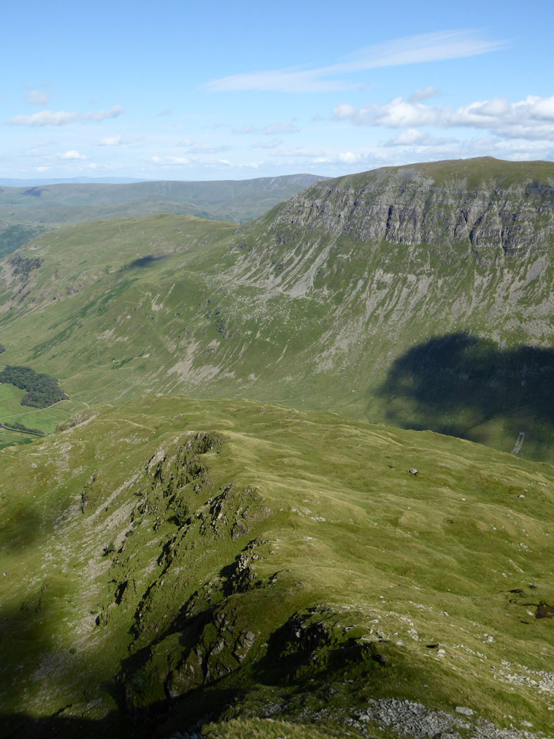
St.Sunday Crag
Dollywaggon Pike - The Tongue
The skyline edge bears the name of "The Tongue" and must be a fine climb. Last time, in thick mist, I had difficulty in finding Hard Tarn.
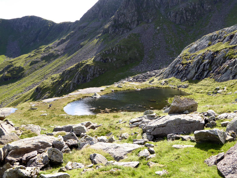
Hard Tarn
Well, I missed it again, maybe I should learn how to read a map! Anyway, here it is, about 200 yards left of where I was hoping to find it. It has proven to be just about the only tarn that Molly won't go in - this could be due to the steep sides into the water all the way round. Maybe she doesn't want to disturb the newt(s). "Hard" is said to refer to the stone base of the tarn; it could also refer to the effort required to reach it, or in my case the trouble actually finding it. It really is a gem, I could take a holiday here.
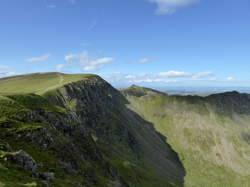
Hard Tarn and St.Sunday Crag
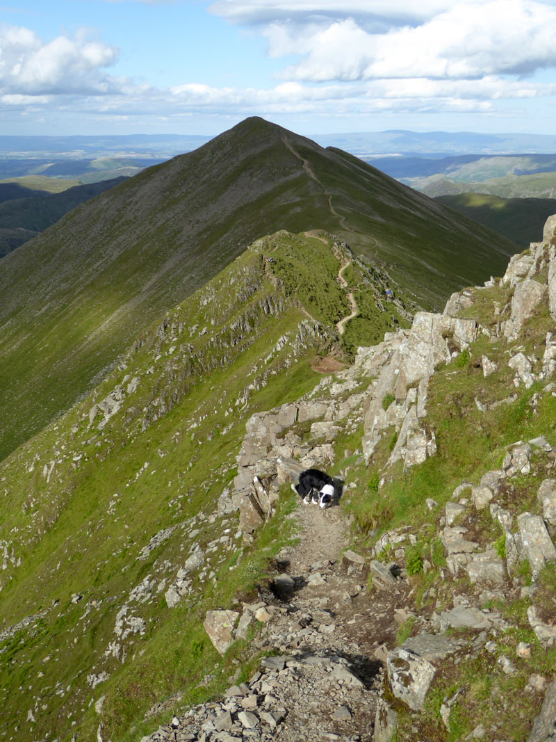
Molly Views the East Ridge
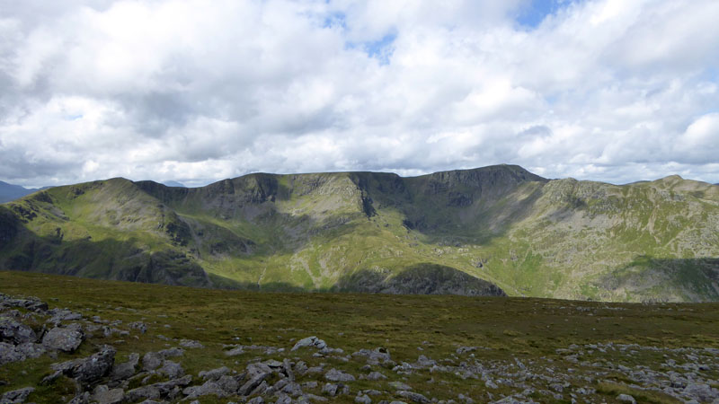
Nethermost Pike East Ridge
This is a really fine way to climb a mountain on a day like this.
Helvellyn and Striding Edge
 |
 |
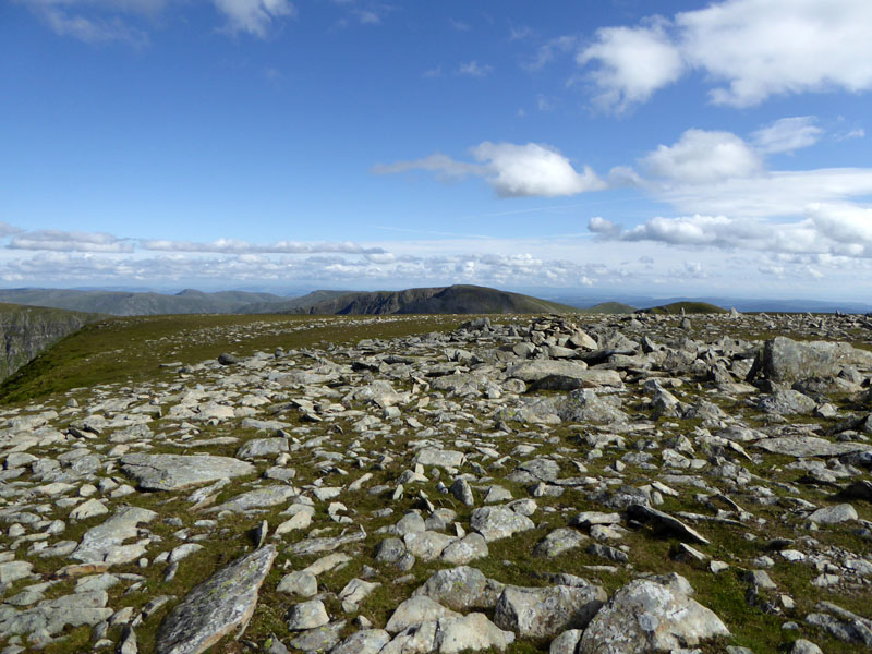
Nethermost Pike Summit Territory |
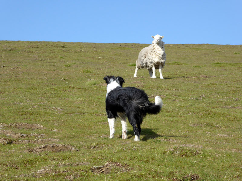
Sheep / Dog Stand-Off |
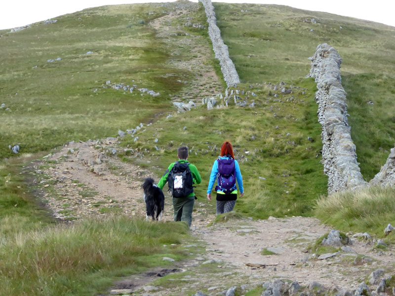
Now for a short walk to the top of Helvellyn. Molly knows the rules and is not allowed to pursue sheep!
Helvellyn Summit 3,118ft asl
When I run out of finding different ways / routes of reaching Helvellyn summit: 1. I'll let you know; 2. I'll pack it all in.
Swirral Edge
 |
 |
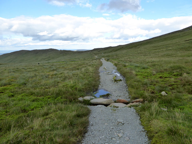
The route to Birkhouse Moor is unchallenging. The sky is darkening and rain threatens, it will be more than an hour before we are back at the tent. Fellbaggers accidentally achieve Birkhouse Moor en route to Helvellyn, or in our case on the return leg - its highest point being crossed by the wall. The sporting thing would be to visit the cairn at 2,318ft which overlooks Glenridding and Ullswater; there is no time or inclination to bother with that today!
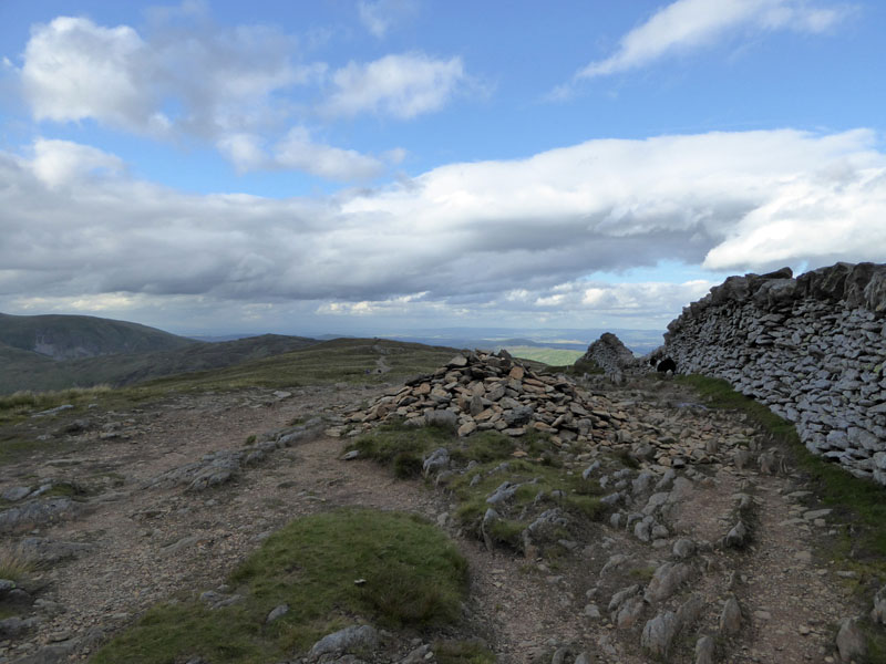
Birkhouse Moor Summit 2,350ft asl
The Descent
It rained for a while on the way down. Is it me, or are the descent routes getting steeper and tougher?
The Finish
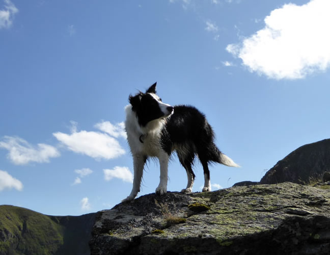
Walkers: Molly The Dog and Me.
Route: Gillside Farm Campsite, Glenridding up to Keldas and Lanty's Puddle, Thornhow, Birks, S.Sunday Crag, Deepdale Hause col route down to Grisedale Beck, Ruthwaite Hut and Beck up to Hard Tarn or thereabouts. Rest. Nethermost Pike east ridge, summit, Helvellyn, Swirral Edge, Red Tarn outflow, The Wall, Birkhouse Moor, descent back to the campsite.
Time taken: 8 hrs over a distance of about 12 miles. 5,000ft of ascent.
Weather: Dry and sunny for most of the time. Cool breeze on the tops and cloudy for periods, especially towards the end.
Last time on Nethermost's East Ridge
Wild animals on the loose in Glenridding!
Nearly all photos copyright Richard Ratcliffe 2015 ©
Take me back to the start ....