~Carrock Fell and High Pike~
19th April 2015
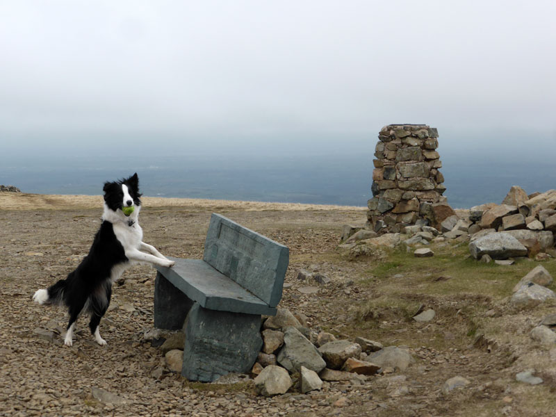
High Pike Summit
Molly decided that it was time to unzip the tent at 05:30hrs on this cool Lakeland morning. We had a walk down to Ullswater shore and might have taken the boat to Howtown, but we were too early.
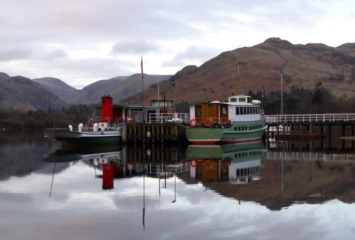
Glenridding Pier
The fine weather of yesterday is being replaced by low grey cloud creeping across the country from the North Sea. Decisions, decisions .... well the Northern Fells are not far away and maybe the skies will be brighter.
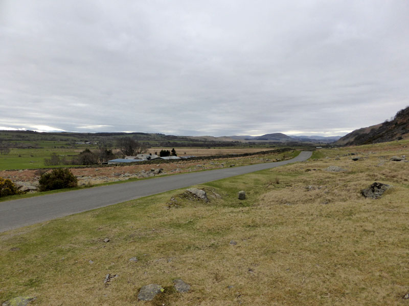
Apronful of Stones
The roadside parking here on the road between Mungrisedale and Calebrack is ideal for an ascent of Carrock Fell, our primary target for today. And no it isn't any brighter over here.
 |
 |
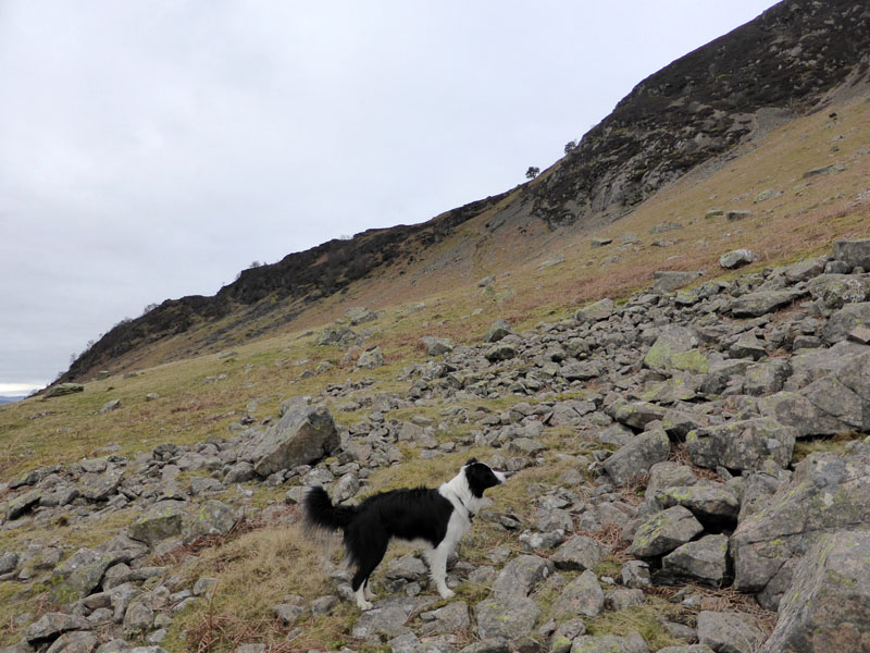
Rowan on Crag |
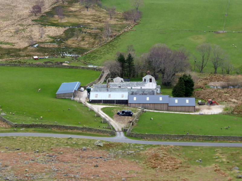
Stone Ends Farm |
Wainwright offers an ascent from here and if you are in any doubt about the correct starting position, look for the "rowan on crag" - Molly is looking in the wrong direction. Stone Ends Farm is a good name for a farm located just beyond the apron of stones.
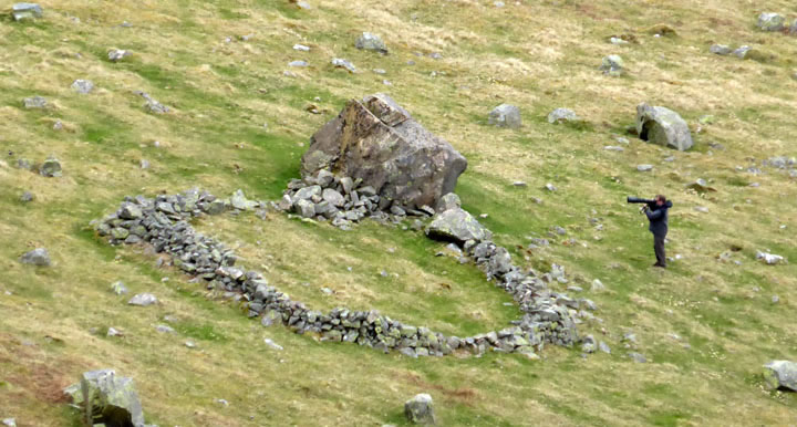
Man Shoots Bird
The man with what could be a rocket launcher is aiming at a bird. The sheepfold was built many years ago and one of the team just had to fetch a stone bigger than everyone else.
 |
 |
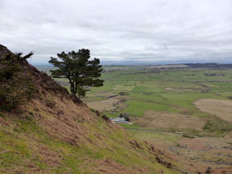
The Rowan |
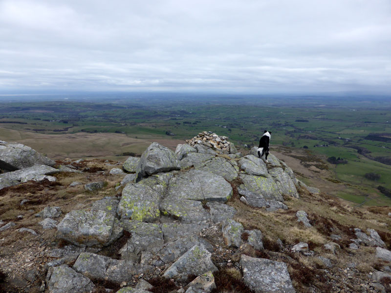
East Peak |
It's quite steep, rewarding climbers with good views from an early stage.
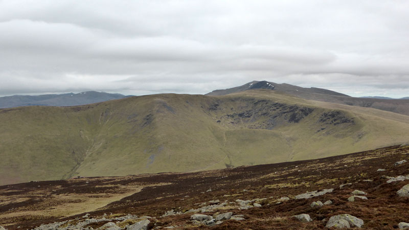
Bowscale Fell
Bowscale Fell possesses a fine tarn, but quite seldom seen - it's just beneath the crags over there. Blencathra is further away.
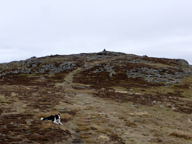
To the Summit
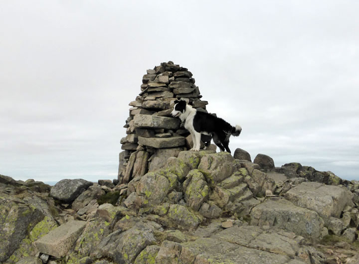
Carrock Fell Summit 2,174ft asl
There is lots of interest here, notably the remains of a British Fort dating back beyond the Roman occupation.
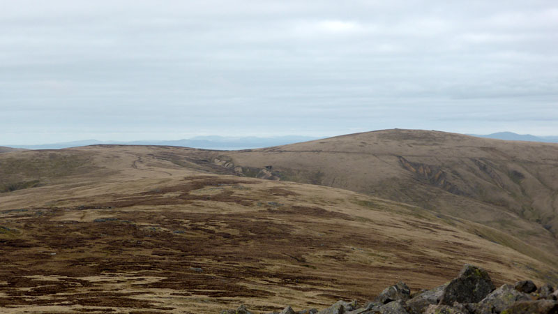
High Pike
Next up will be High Pike, over there to the right. It's two miles away and we have the place to ourselves - no walkers, no runners, no sheep, no drones, no nowt!

High Pike Summit
50 minutes later and we arrive at the top of High Pike. Fantastic views to the north and Scotland, on a better day.
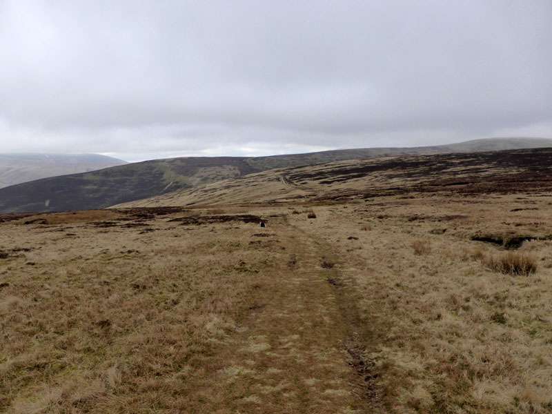
To Lingy Hut
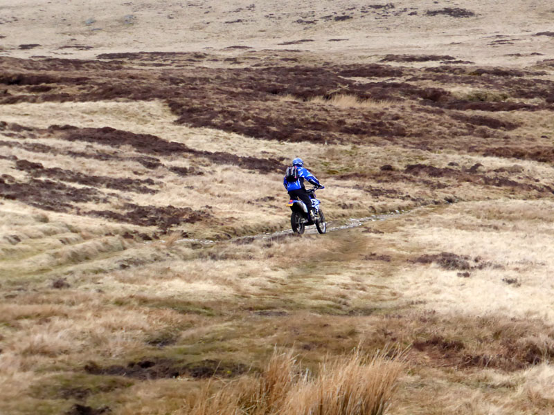
Scramblers
Two bikers came along The Cumbria Way, the second rider stopped to ask me if I knew the way down to Mungrisdale. I said I didn't (untruth) but I also asked him if he thought it was permitted to ride these machines in this area. He said it was a "green lane" and they were OK - Hmmm, doubt it, but not well enough informed to be sure of the correct answer.
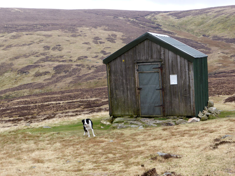
Lingy Hut
Lingy Hut sits at the head of Grainsgill Beck (or near enough) and it is customary to go in and sign the visitor book. Not sure if has an entry on TripAdvisor, but it's probably the best Hut for shelter and a short rest in this corner of the Lakeland Fells.
 |
 |
To Mosedale |
Arm o'Grain |
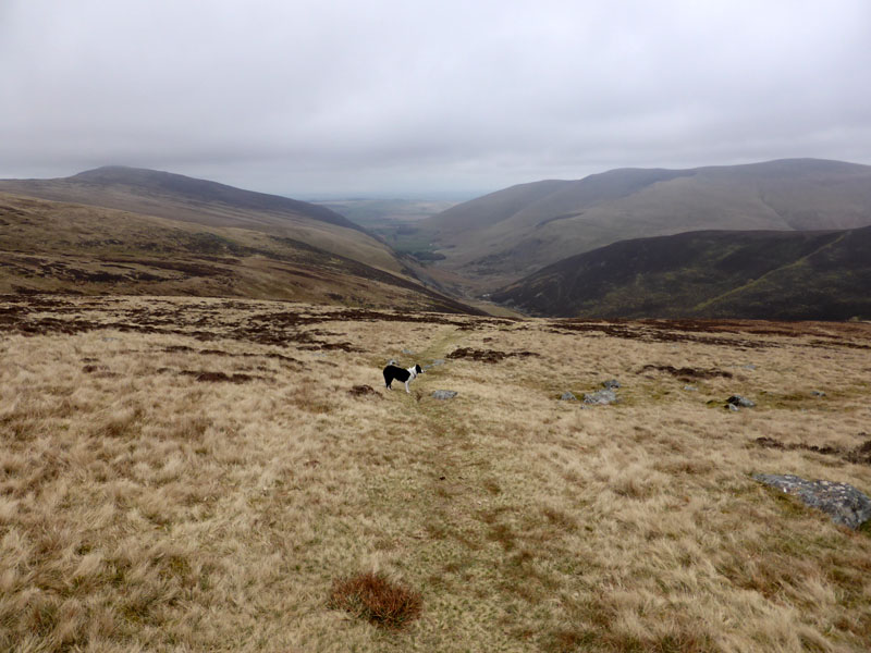
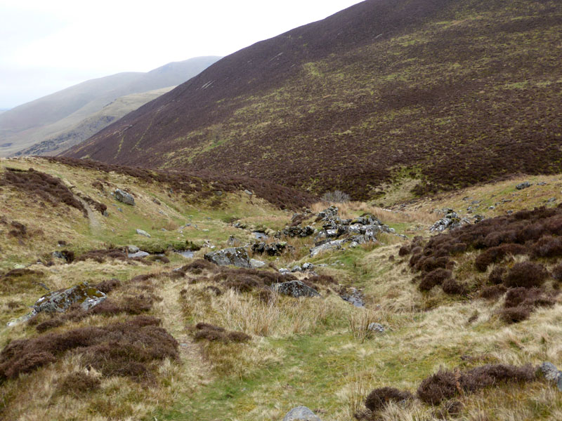
On the way to Mosedale we passed two walkers and a dog, the first greetings of the day. Soon, we arrived at the ruins of Carrock Mine.
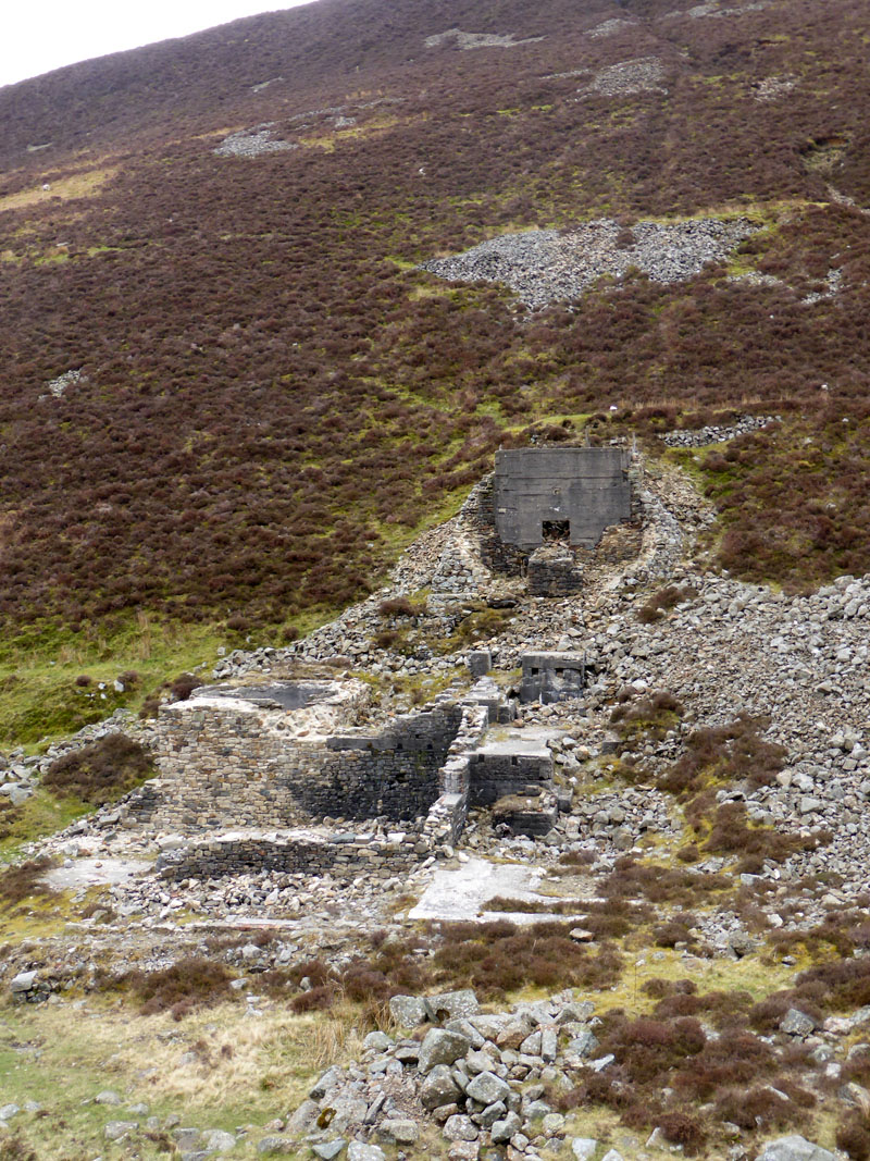
Carrock Mine Ruins
Tungsten was mined here, particularly for the munitions industry in WW1. There is a visitor information board, as yet unvandalised, and readers should visit here and find out for themselves about the history. Or use Google.
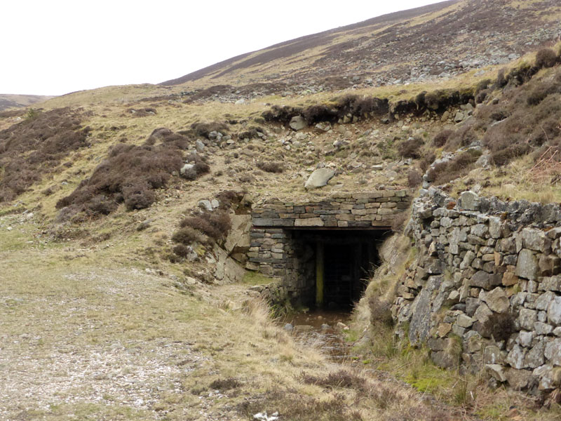
Adit Entrance
This adit (level) entry has been restored by mining historians. Progress is halted by a locked gate.
 |
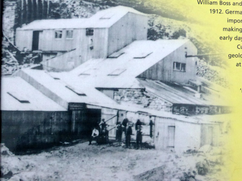 |
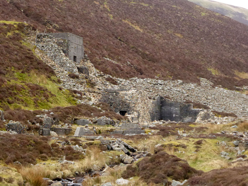
The "World War 1" Mine
The situation at the mining buildings, now and just over 100 years ago. I didn't take the photo on the right.
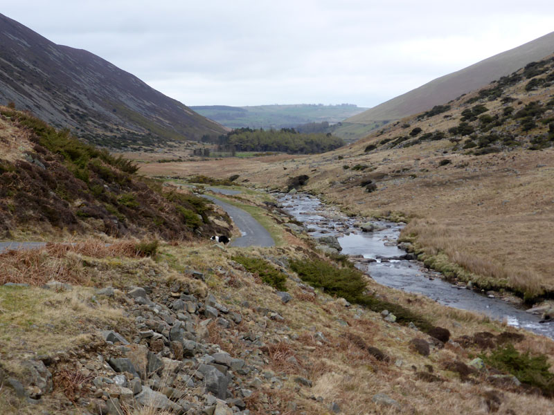
Mosedale - Upper
There followed about three miles of tarmac walking, which whilst not being ideal, is fine by me as long as the traffic is light - and it was. Mosedale is an "over-deepened" glacial valley and walkers should cast their eyes around for clues to the effects of glaciation.
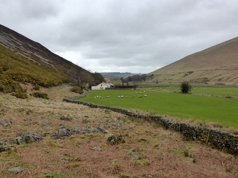
Mosedale - Lower
We were disturbed by a few cars and three passes of a big yellow rescue helicopter - drones, scramblers, helicopters!
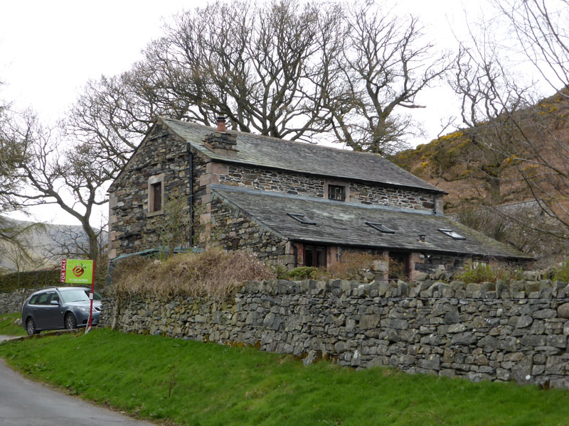
The Byre, Mosedale
Currently (April 2015) for sale at £400,000. There is a "local occupancy restriction" on the sale - now then, there's a thing: people might have to live in the houses they buy, whatever next?
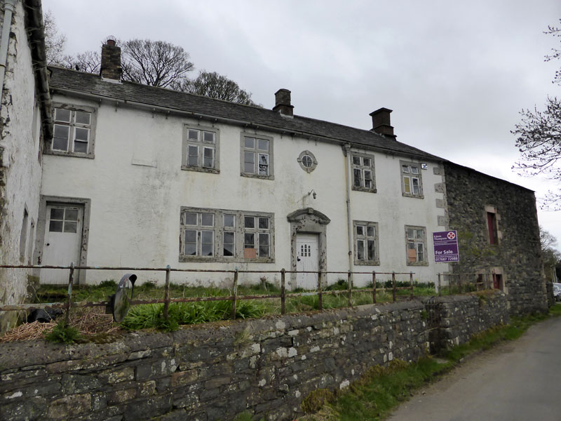
Middle Farm, Mosedale
Also for sale in Mosedale: Middle Farm at £375,000. Work needed and no mention of the restriction which applies to The Byre.
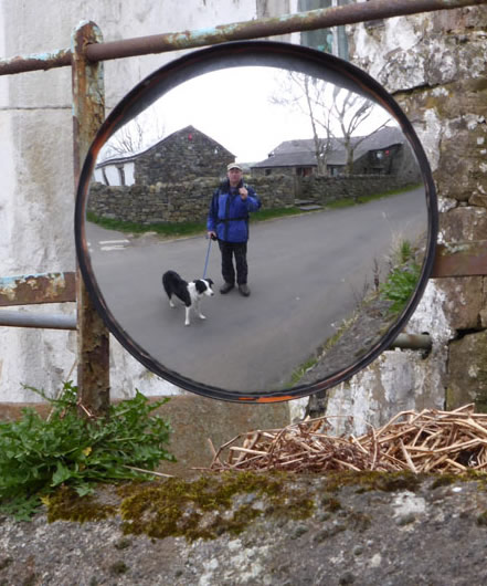
Selfie Mirror
Dotted around the Lake Distict are "Selfie Mirrors". Most often found on sharp corners or opposite private driveways, they are ideal for self-portrait photographs, or "selfies" as they have become known.
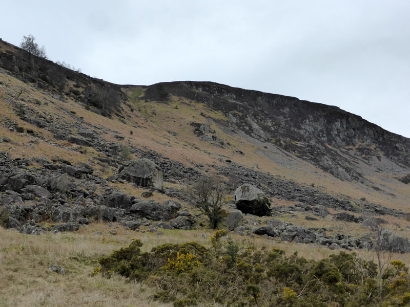
Boulders of Carrock Fell
Many large boulders are seen from the road walk. I did see some characters carrying mattresses into the boulder field; either they were going for a lie-down or they were doing a bit of "bouldering", rock climbing in miniature.
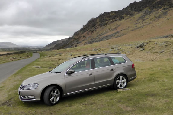
Parking Spot
Walkers: Me n' Molly
Time taken: 4hrs 20mins over a distance of about 9 miles.
Route: Parking by the road at Apronful of Stones, steep incline up Rake Trod to East Peak and then Carrock Fell top. Best foot forward to High Pike, initially negotiating rather soft ground and then finding a well made track. High Pike and along the Cumbria Way to Lingy Hut, for a descent to Mosedale and back along the roads.
Weather: Cloudy and dull, cool.
All photos copyright Richard Ratcliffe 2015 ©
Take me back to the start ....