
~Nethermost Pike & Friends~
15th November 2014
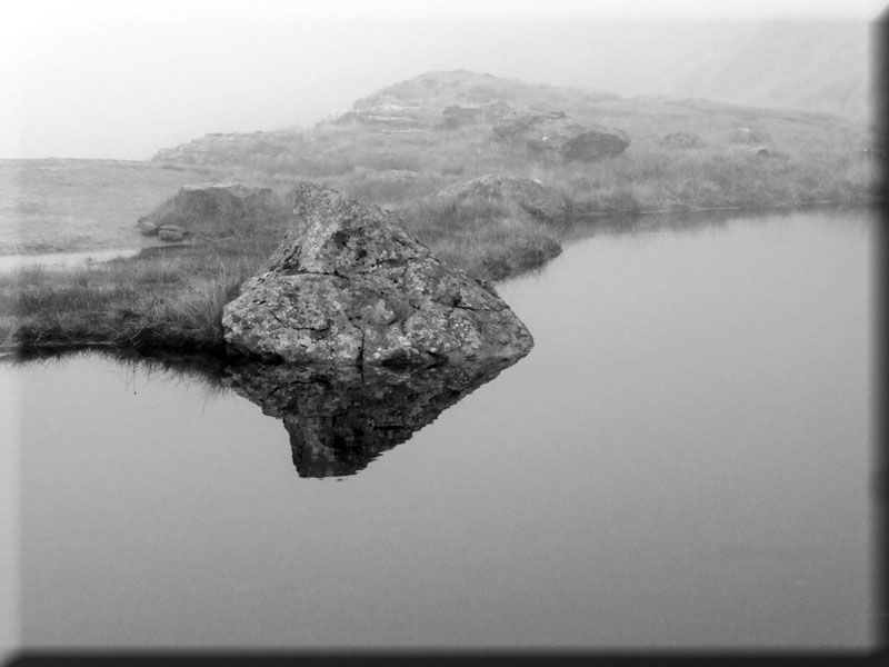
Hard Tarn
It's back to the Lake District on the strength of a high chance of cloud-free summits, light winds and plenty of sunshine - all according to the Mountain Weather Information Service. About time too, far too many grey days recently.
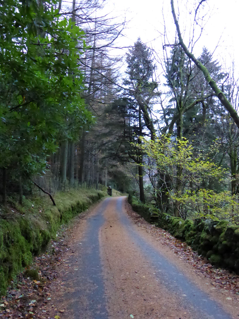
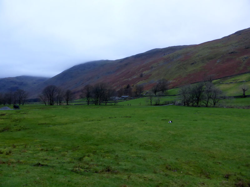
The walk started from the roadside in Patterdale at 0830hrs. It's cloudy, but will no doubt improve as forecast. Molly is with me and we took the "Lane to Grisedale" where parked cars may be towed away, I seem to remember that you could once park down the lane??
 |
 |
Lane to Grisedale |
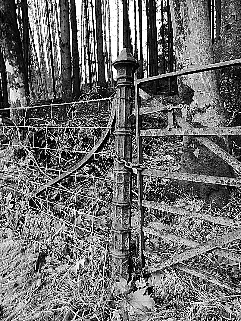
Gate Post |
This walk will make a direct ascent of Nethermost Pike and involves a fairly long valley walk along Grisedale as a starter.
Braesteads
Keen eyes might spot Molly and a tennis ball. This was the last photograph of said ball, dog put it in the beck and off it went towards Ullswater. We lose at least two tennis balls every week.
Eagle Crag, of Nethermost Pike
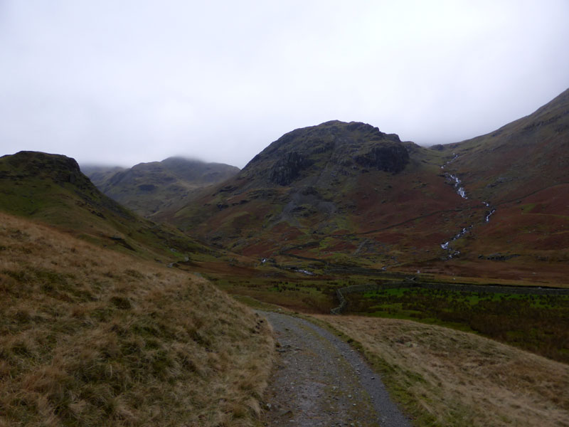
Wainwright suggests an ascent route up Nethermostcove Beck, as seen in spate; with an alternative way visiting Hard Tarn via Ruthwaite Cove on the far side of Eagle Crag. I chose the latter as a visit to Hard Tarn is essential for all Wainwright enthusiasts - for reasons that will become clear, or maybe less than clear ....
 |
 |
Ruthwaite Cove |
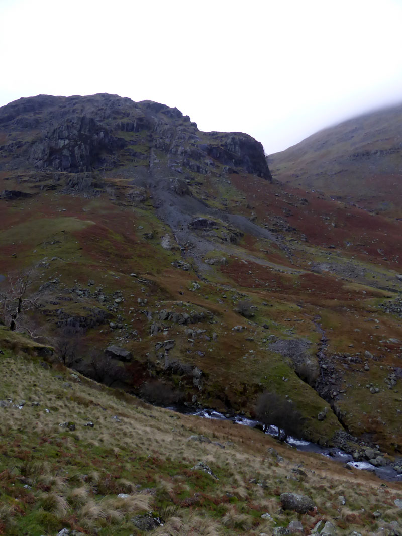
Eagle Crag |
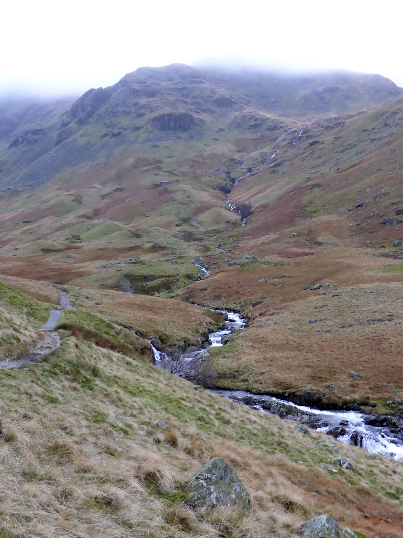
We took the path up to Ruthwaite Lodge and then followed the beck to Ruthwaite Cove. The cloud is showing no signs of lifting.
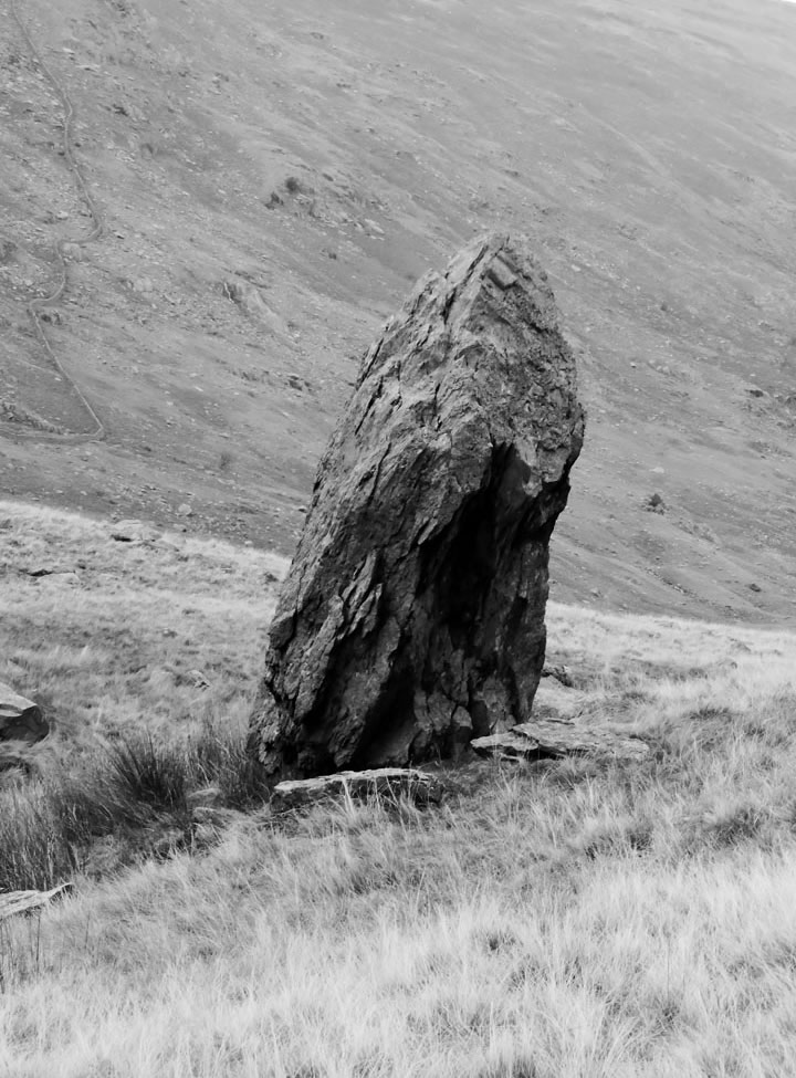
Rock
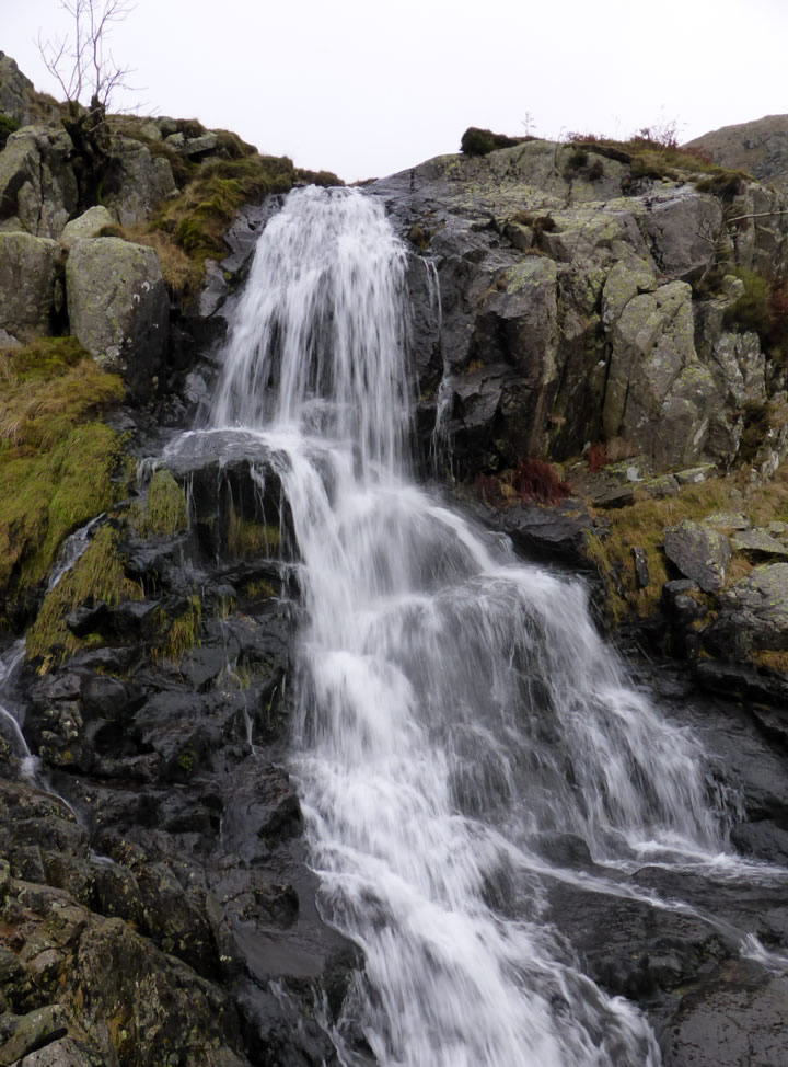
Waterfall
The waterfall belongs to Ruthwaite Cove beck (not named as such on OS maps).
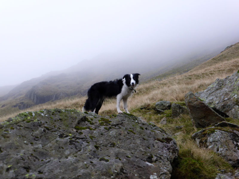
Molly
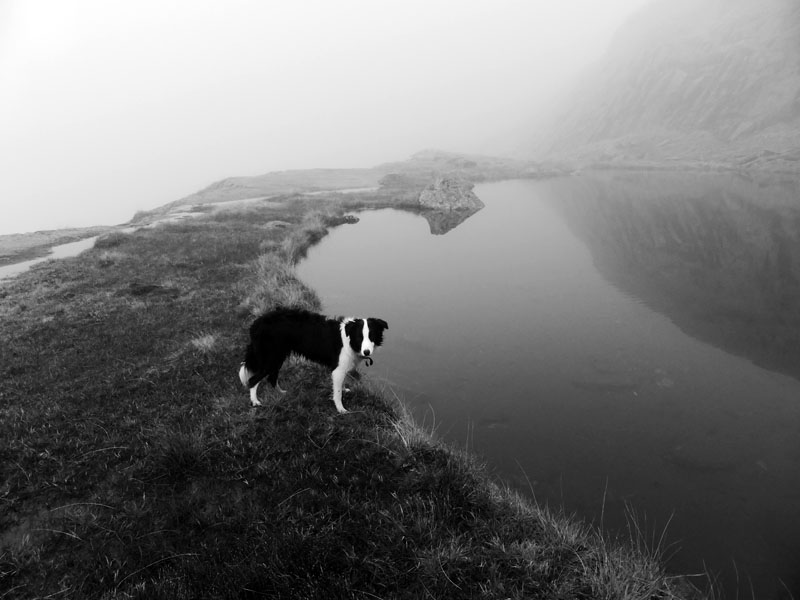
Just about to enter the clouds at approx 1700ft asl. The map shows that the beck we're following does not eminate from Hard Tarn and therefore we will be soon using our navigational skills in the mist to find the tarn ...
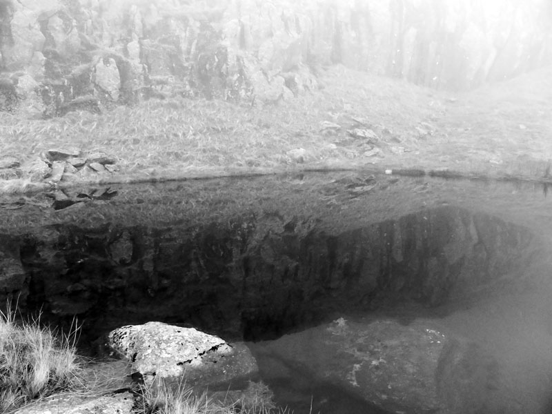
Hard Tarn
In the event, we found ourselves on the crag above the tarn and had to find a way back down. If you have Book One of Wainright's Pictorial Guides to the Lakeland Fells, the personal notes in conclusion refer to time spent at Hard Tarn - at least 60 years ago. I'm not going to tell you what he wrote, but in a different season to his, the air was just as still - all I need to do now is find that newt.
~~~
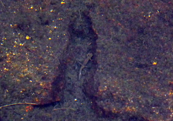
The Newt
Somewhat dormant in 18" of water, I found a newt. Perhaps a descendant of the earlier one, the splashes of colour are a product of the camera's imagination and a bit of photoshop reprocessing. There was no colour in this vicinity. We had lunch and I sat there contemplating not the purpose of the little creature's life, but more this fellwalking lark! Get up in the dark, travel 65 miles, walk in cloud, see very little, return to car and drive home in the dark. Then spend an hour or two writing up a story about it all!
~~~~~
Now, where's the East ridge up Nethermost Pike? The map suggest contouring round in a north / north-easterly direction to meet the ridge. But would there be a noticeable footpath? As luck would have it, Molly barked and in the mist I could just make out a climber on the path. So, we joined him and took the steep, scrambly route up the fell.
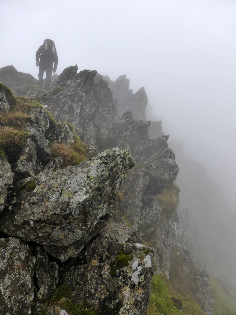
Nethermost Pike East Ridge
I'm sure the rock scenery must be fantastic, but not today. It's quite steep in places, but nothing to halt an experienced fellwalker.
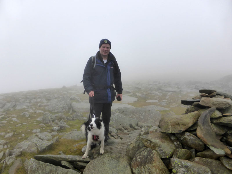
Me n' Molly on Nethermost Pike Summit 2,920ft asl
Three and a half hours to this point. Now it would be rude not to visit the summit of Helvellyn, next door. A quick, maybe unnecessary look at the compass and off we go to join a thread of walkers heading for local high point.
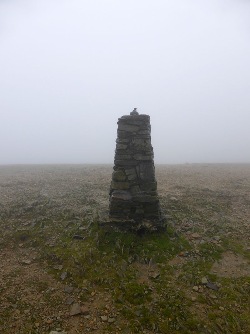
Helvellyn Trig Point
The cross-shelter was well populated and I had to get a couple of chaps to budge-up, so that I could sit down for a drink. I could have saved myself £30 or so in fuel and provisions and walked around the factory cellar for a few hours. It so happens that today I reached the top of Helvellyn for the tenth consecutive year. Ok, some bloke comes up here every day - has he ever been up Pendle Hill?
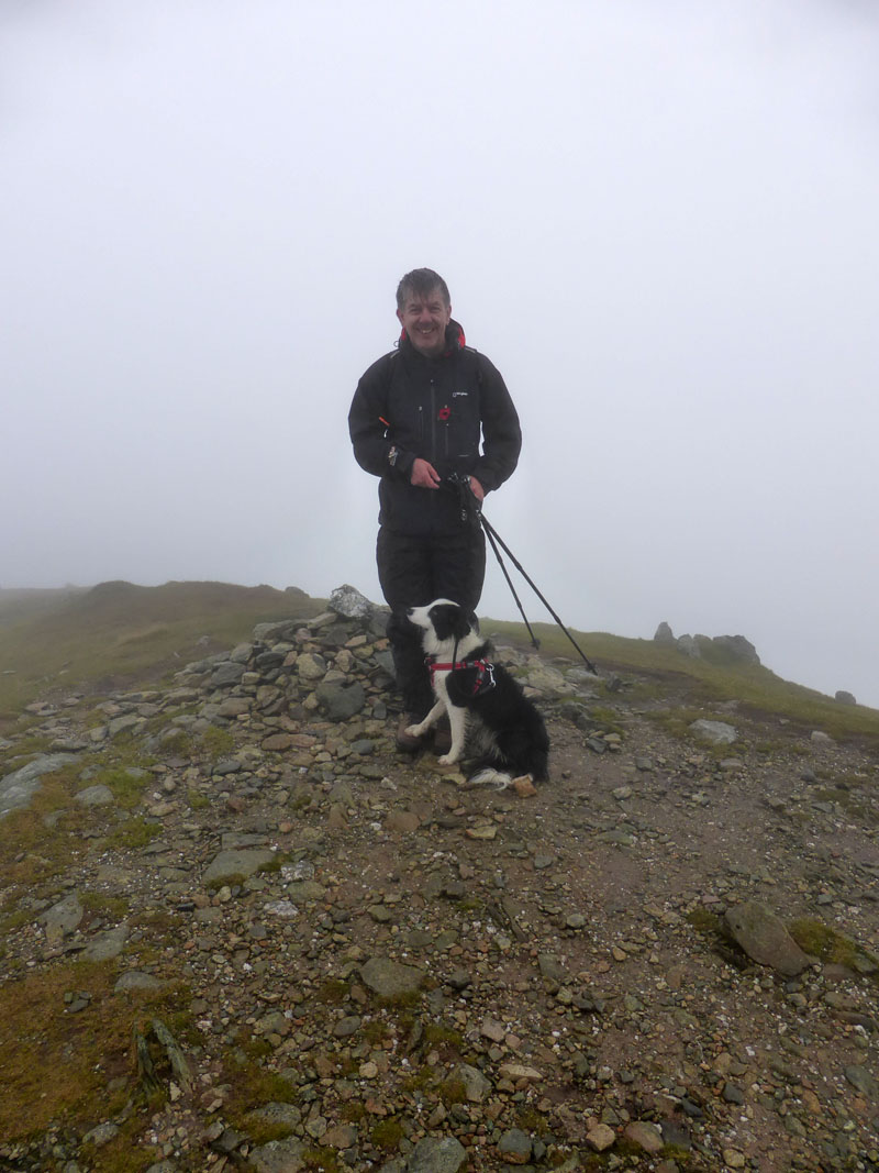
Neil and Molly on Dollywaggon Pike Summit 2,810ft asl
Neil and I had a vague notion that we might meet up somewhere near Dollywaggon Pike. He called me from the summit and I was about three minutes away. Molly issued her traditional greeting of barking madly and then settled down next to her new friend. Note Molly's foot on Neil's boot :-)
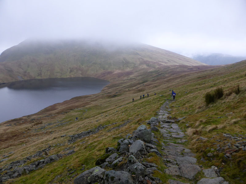
Grisedale Tarn
Neil had been up Seat Sandal (here, in the cloud) earlier and we walked together down to the tarn. The pitched path is well-intentioned but it can be quite slippy on descent after rain. A large party with even larger rucsacks are on their way up.
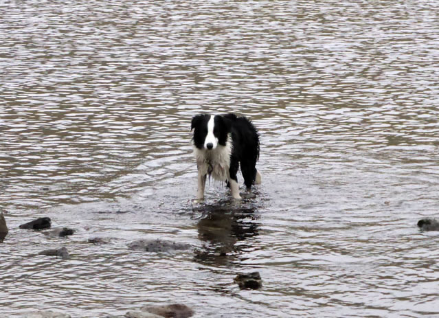
Molly in Grisedale Tarn
Molly is waiting for me to throw the ball - that'll be the one floating across Ullswater at this point in time.
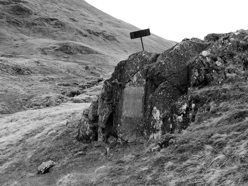
Brothers Parting Stone
Commemorating the spot where William Wordsworth and his brother (John) bade each other farewell for what would be the last time. John was killed when his ship sank off Portland in 1805.
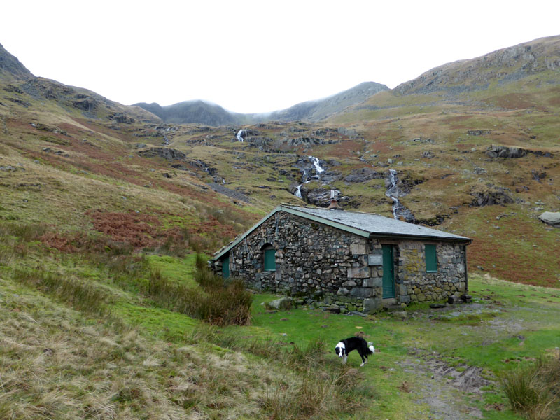
Ruthwaite Lodge
If only this was a tearoom...
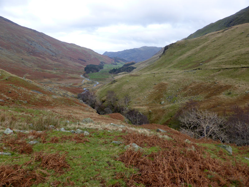
Grisedale Beck
Of course, behind us, the weather is improving and the cloud lifting. Sometimes you just have to roll with it, there's not point in looking back in anger, the fells will be there on the next visit and the sun might even shine. Whatever, some might say it's been a great day after that time spent in the oasis of calm at Hard Tarn and taking Molly out for a fine day's exercise.
Walkers: Me n' Molly
Time taken: 7hrs 30 mins over a distance of about 13 miles.
Route: Patterdale, the lane to Grisedale, Grisedale Beck (south side), Ruthwaite Cove, Hard Tarn, East ridge to Nethermost Pike, Helvellyn, west side of NP summit, Dollywaggon Pike Summit, Grisedale Tarn, Parting Stone, Grisedale Beck (north side), lane from Grisedale, Patterdale.
Weather: Dull, dry.
Suggested further reading (fiction) : Mountain Weather Information Service - not always wrong, often very accurate, but not for today.
All photos copyright Richard Ratcliffe 2014 ©
Take me back to the start ....