~Haystacks~
14th June 2014
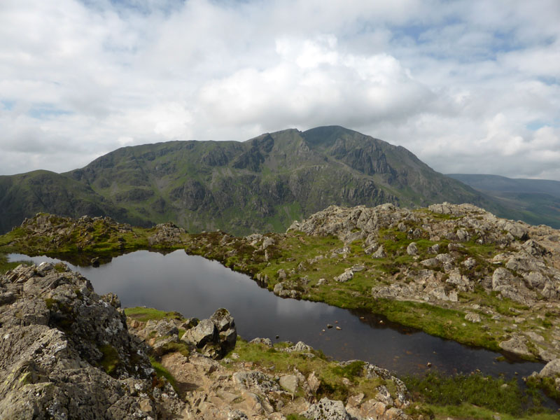
The Summit Tarn
Scroll down for photos and a description of the walk....
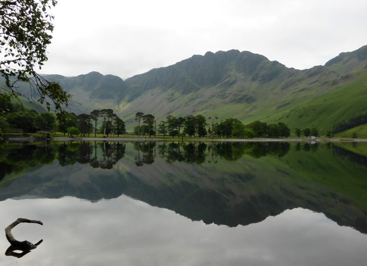
The Buttermere Pines
We are clocking up a fine collection of independant fells and today's excursion is as good as it gets in that regard. By choosing "one fell" routes, I am keeping Molly's miles down to a minimum as she gets used to this walking mullarkey and I reaquaint myself with the needs of a young dog. Haystacks is the mountain beyond the lake and the trees. The pines are to Buttermere as the screes are to Wastwater, the steamers to Ullswater and the tourists to Windermere.
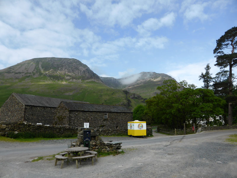
Gatesgarth Parking
Alarmingly, since my last visit the day rate has increased to £4. The semi-permanent refreshment facility looks a little out-of-place, subtler colours would be better. High Crag (l) and High Stile are in view.
 |
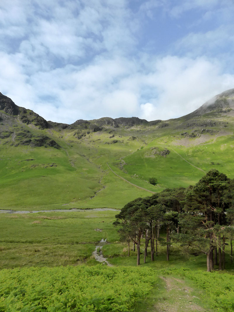 |
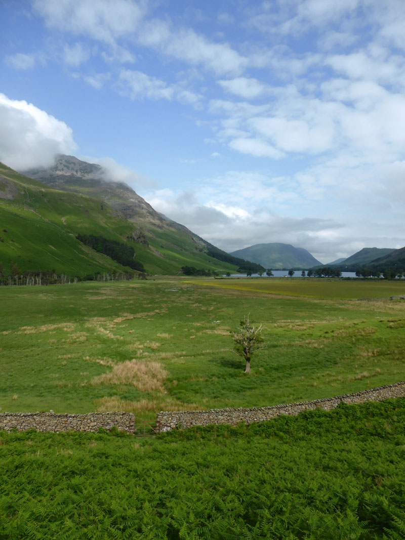
High Stile and Buttermere |
Scarth Gap |
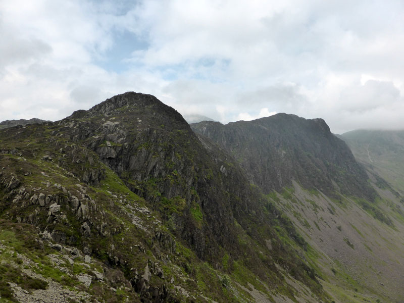
This turned out to be the best time for photography, but its not just about photos, this is an excellent walking area. Scarth Gap is the bit between Haystacks and High Crag and links Buttermere with Ennerdale.
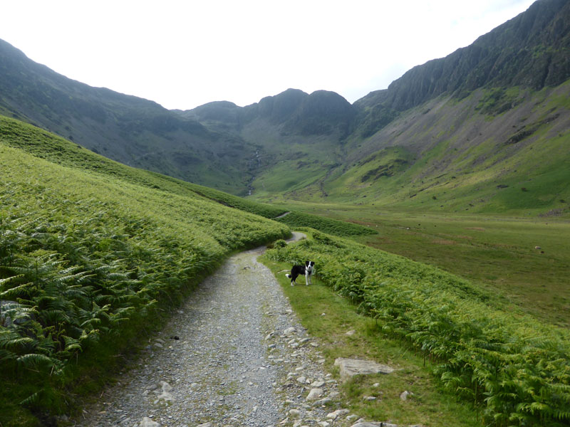
Warnscale Bottom
Dog owners love showing off their charges. I am going to try to find a way of not putting Molly in too many photos, but like many dogs of her breed, she likes to be a good few paces ahead of the walker and that puts her in the firing line.
 |
 |
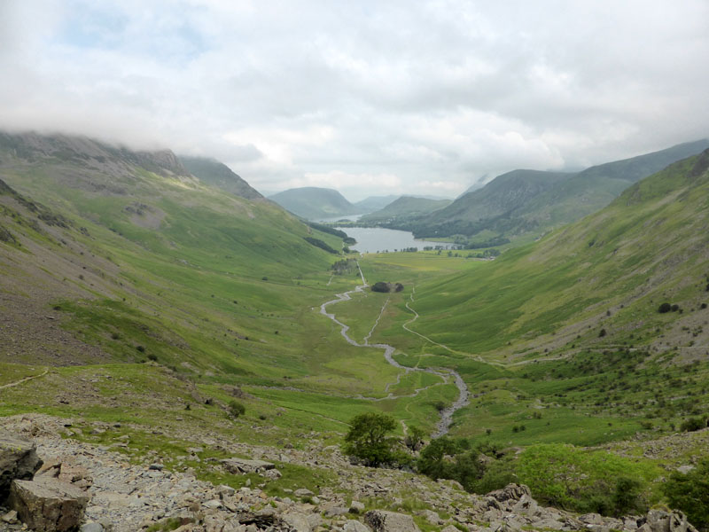
We took the path up to the right of the beck and skirted over the top of the quarries to join the main path en route to the summit territories of this fine mountain.
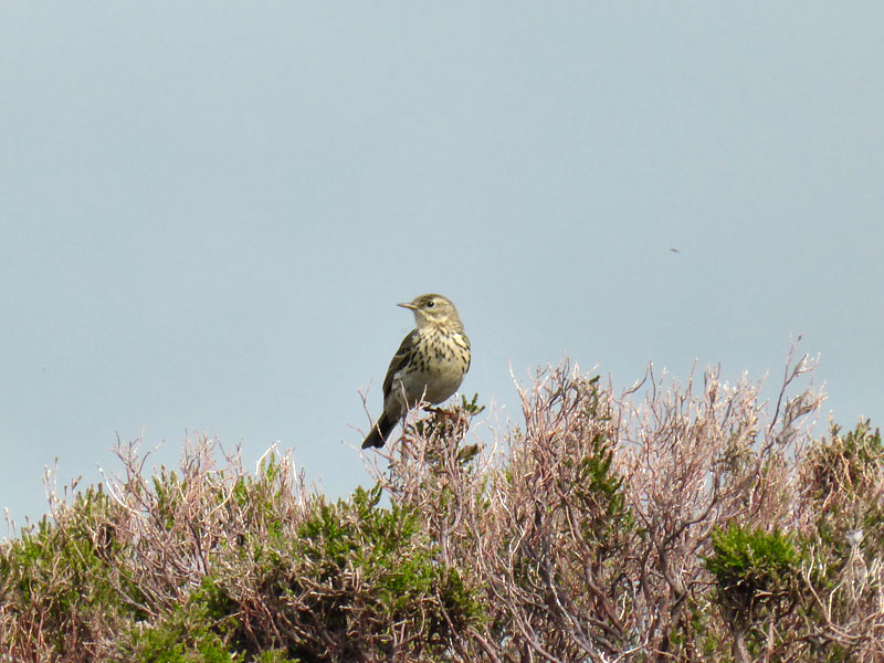 |
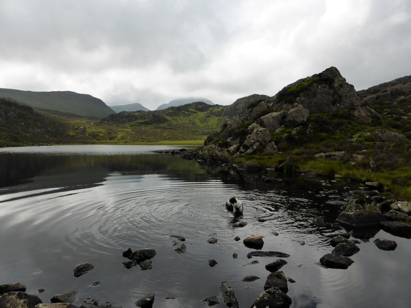 |
Meadow Pipit |
Blackbeck Tarn |
Molly is now a keen swimmer and she adds Blackbeck Tarn to her list of dipspots - oh no! Another list!
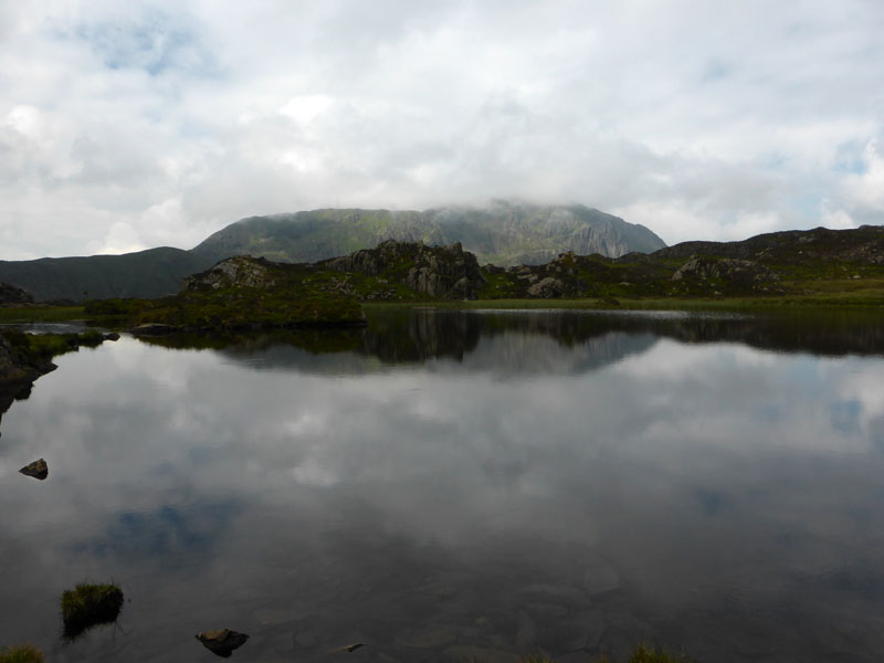
Innominate Tarn
Pillar stands proudly beyond the tarn. I could show you a photo of me n'dog next to the tarn, but I'm not going to.
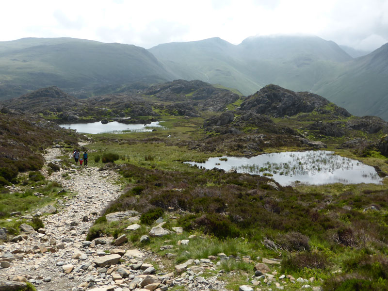
The Tarns With No Names
On the way to the summit and looking back at the un-named tarn, with Innominate Tarn further away.
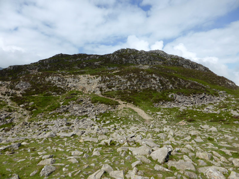 |
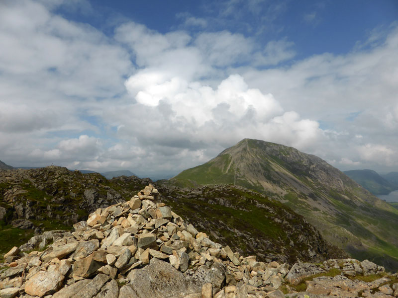 |
Haystacks Summit Approach |
High Crag |
Up here I met a chap who had parked at the same time as me and had climbed up via Scarth Gap, he won by five minutes or so, but then he didn't have a camera. The photo on the right shows one of the cairns which is certainly not the highest point.
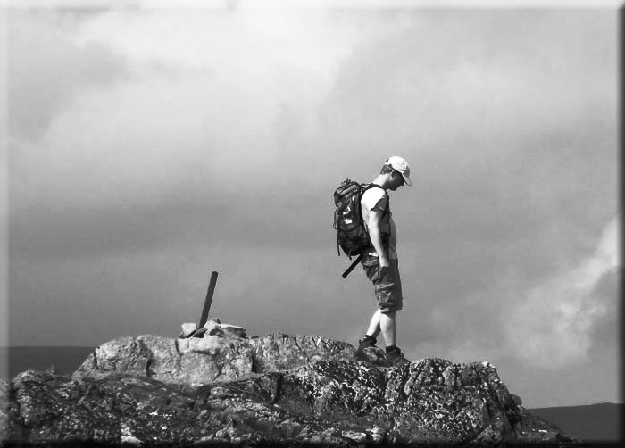
Fellwalker, Haystacks
Innominate walker, I think he was watching where he was putting his feet.
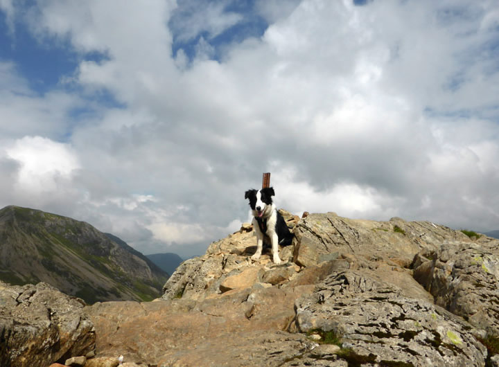
Lakeland Fell No.5 for Molly
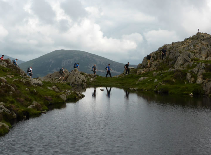
The Octopus's Garden?
A large group head to the summit, something in the way they move reminds me of an album cover. Who's not wearing any boots, I wonder.
 |
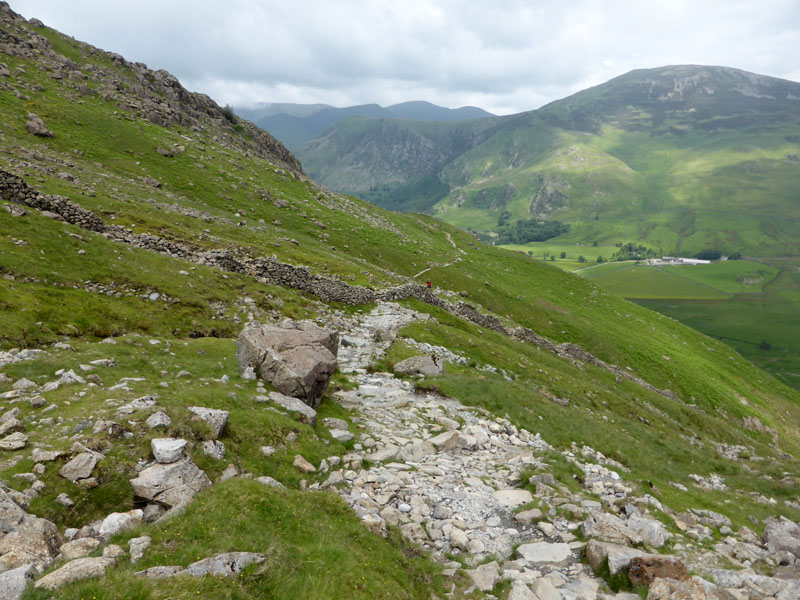 |
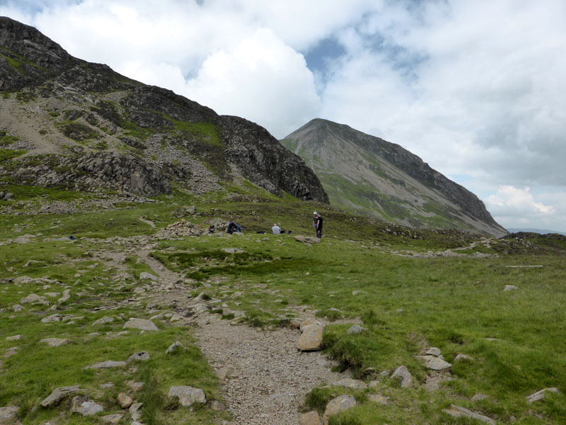
A few walkers at Scarth Gap and then on the way down I see the many boulders that tempt the weary to sit and rest on the pull up the slope.
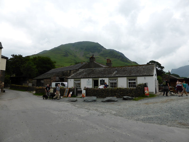
Croft House Farm Cafe
Deliberately no photos on the shoreline of Buttermere, its all been seen before and will be seen again. Lunch on the benches outside the cafe and there was a hint of light rain, but it passed. Then it was the other shore path back to Gatesgarth.
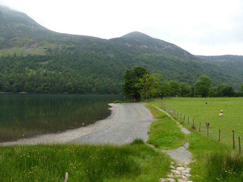
The Buttermere Shoreline
This bit is closed to allow Common Sandpipers to breed uninterrupted. Lucky old CS's!
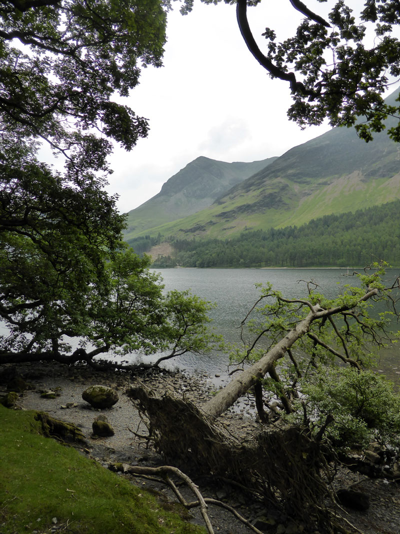
Fallen Tree
This fallen tree and the resultant gap allow for a view of High Crag.
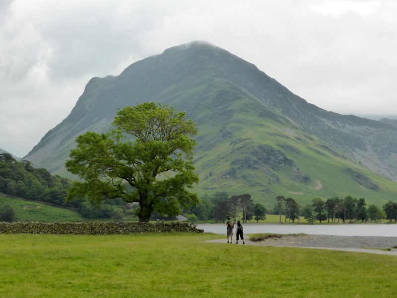
Fleetwith Pike
An easy last leg back to Gatesgarth. Top walk! Somewhat busier now.
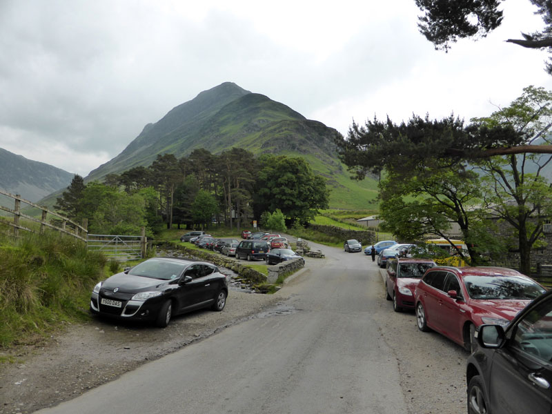
Walkers: Me and Molly the Dog
Time taken: 5 hours 30 minutes over a distance of about 8 miles, time includes cafe time.
Route: Gatesgarth, Wanscale Bottom, Haystacks, Scarth Gap, Buttermere and around the lake.
Weather: Bright and warm, clouding over as time went on.
Greetings: First welcomes at Innominate Tarn and then quite busy thereafter.
All photos copyright Richard Ratcliffe 2014 ©
Take me back to the start ....