
~Gowbarrow Fell~
27th June 2014
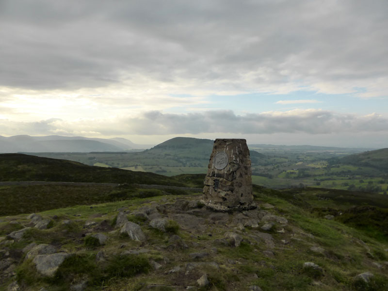
The Summit of Gowbarrow Fell
Scroll down for photos and a description of the walk....
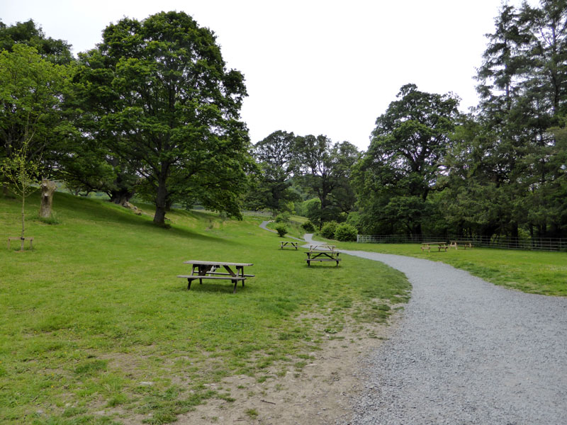
Aira Force Picnic Area
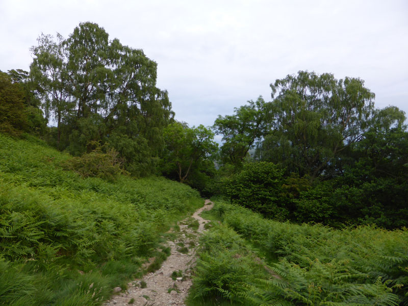
Well, you learn something everyday, so they say. Wainwright's map of Gowbarrow Fell shows a cafe at Park Brow Foot. We all know this as Aira Force Car Park and some, like me, might assume that the cafe is a more recent feature. But, one way or another it's been there since at least 1954. At this time, 18:40hrs, the cafe was closed and the car park all but empty. For Gowbarrow Fell, it's up into The Glade and then off to the right and into the open countryside, clearly signposted.
 |
 |
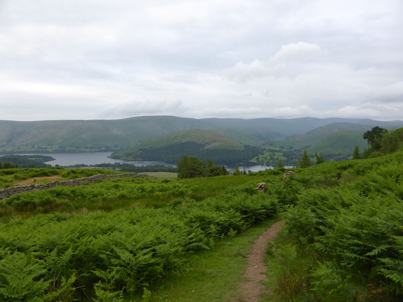
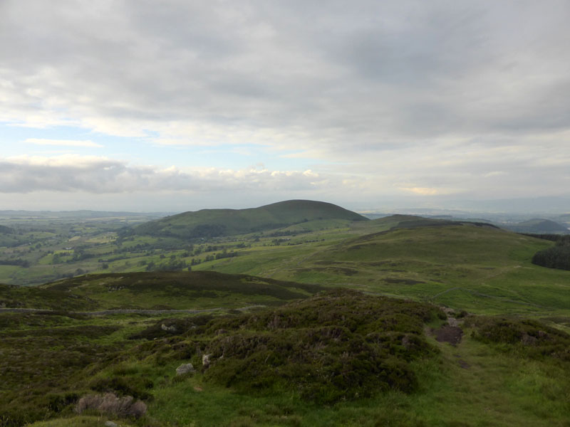
Towards Yew Crag |
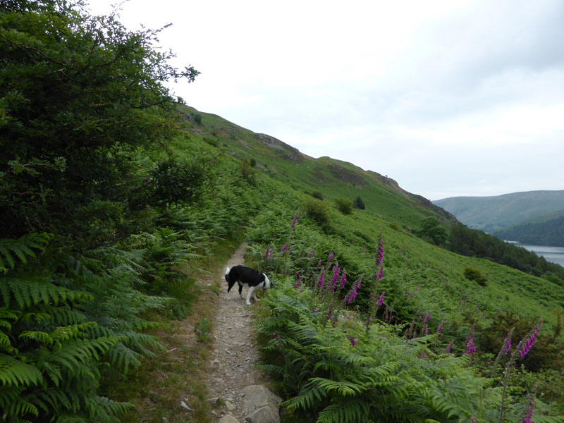
Ullswater |
There will be no photos from this evening's walk hanging above the mantlepiece, but clear and dry is good enough for me. The path is generally only wide enough for one.
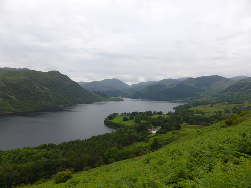
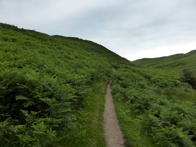
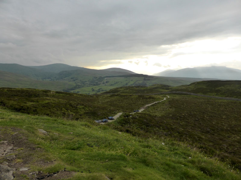
Hallin Fell
35 minutes later and the view back along the path shows Hallin Fell on the other side of the lake. Referring back to the guidebook, there are ruins where the "shooting box" used to be and there is no shelter to be had.
 |
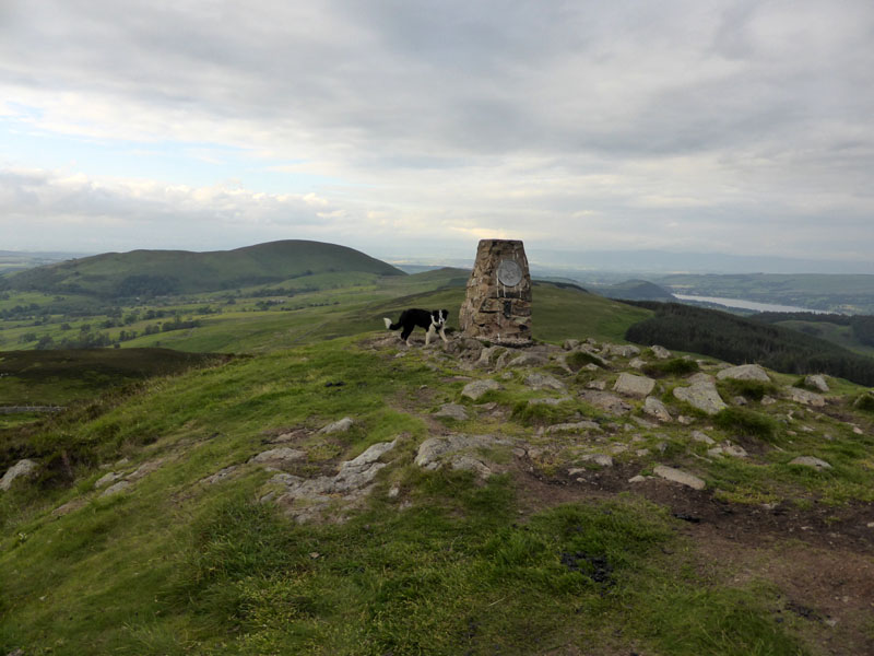 |
Easy route finding leads us to the summit and Molly seems to know what we are aiming for on these walks.
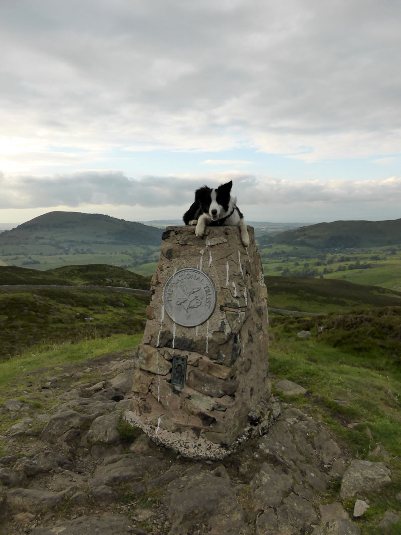
Molly on Gowbarrow Fell Summit, 1579ft asl
 |
 |
Great Mell Fell |
Descent Route |
Pleasant enough up here and to the northwest, the sky is clearing - a little too late for this evening's excursion.
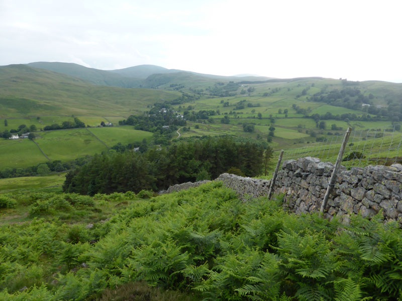
Dockray
Following the path by the wall and past the plantation, Dockray is nestled in the trees further away. The highpoint on the horizon is Great Dodd and nearer, but lower is Hart Side. I have HS in my mind for an ascent in the near future.
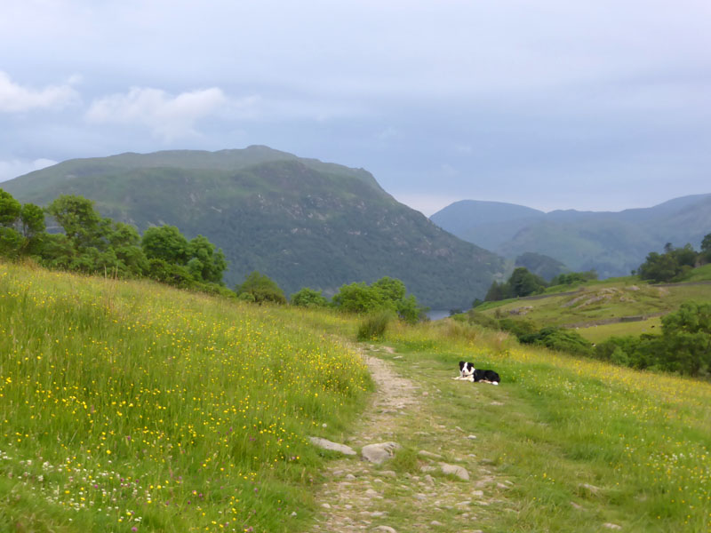
Place Fell
Tomorrow's plan is to climb Place Fell and there she is, dead ahead. Soon, we'll enter the woods above Aira Force.
 |
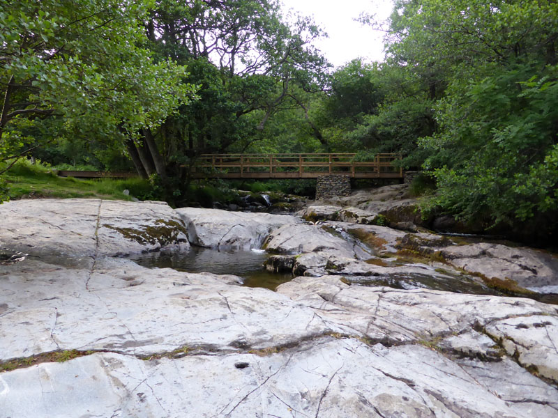 |
Into the woods and down to the first water feature. A bridge over the beck and some play pools for youngsters and dogs. I fell in here once and the family found it funny!
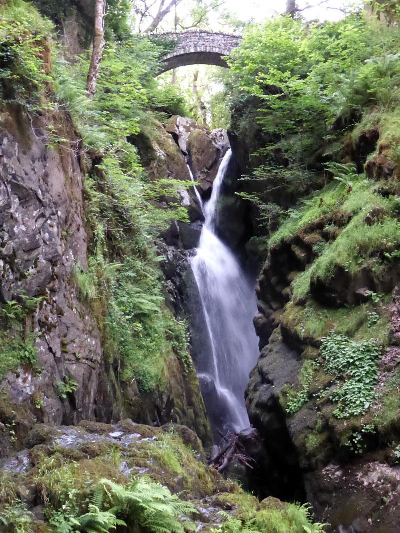
Aira Force
Hands up who hasn't been to Aira Force. Atmospheric "milky water" shot by clever cameraman? No, auto-exposure's 1/20 sec. in view of the immense dullness. Don't throw coins in and don't hammer the remaining coins into dead tree trunks - it's daft. I had in mind to get in and fish a few coppers out of the plunge pool, maybe next time.
Walkers: Me and Molly the Dog
Time taken: 2 hours 30 minutes over a distance of about 5 miles.
Route: Aira Force Car Park, path eastwards out of the woods and fork left at the first path split, off to Yew Crag and then north to the site of the shooting hut. Follow the wall, turn left (SSE) and soon enough the summit comes into view. Then down in SE direction past the plantation and left again (S) into the woods and so back to the car park.
Weather: Dull and calm.
Greetings: One lady with two loud dogs near the shooting hut and then a few tourists around the waterfalls.
All photos copyright Richard Ratcliffe 2014 ©
Take me back to the start ....