~Slight Side & Scafell~
26th July 2014
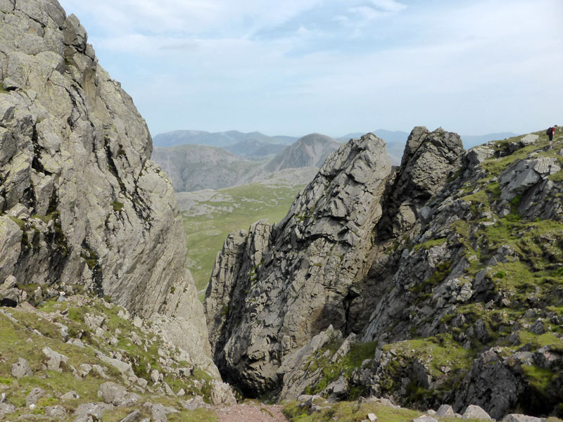
Deep Gill on Scafell
Scroll down for photos and a description of the walk....
 |
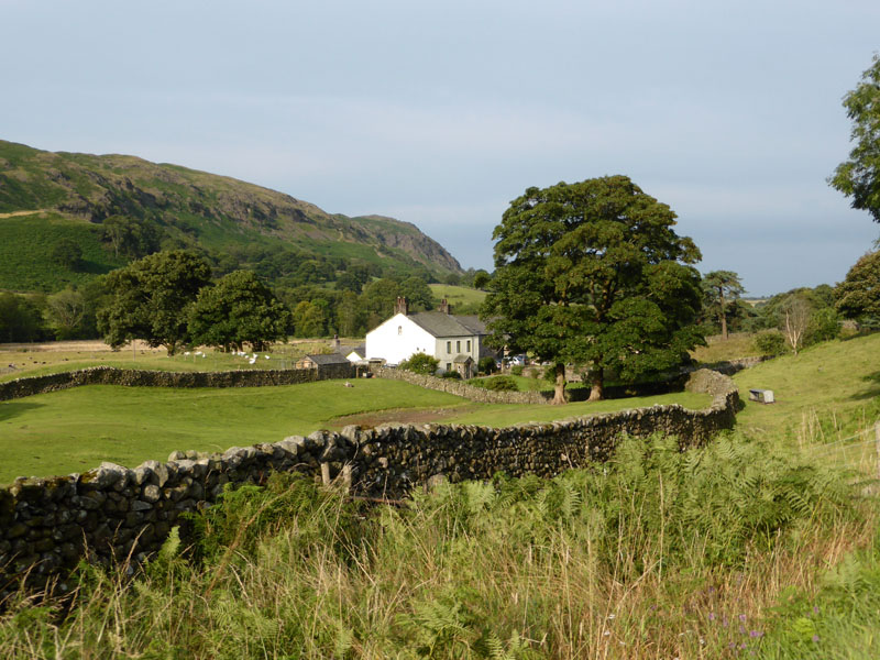 |
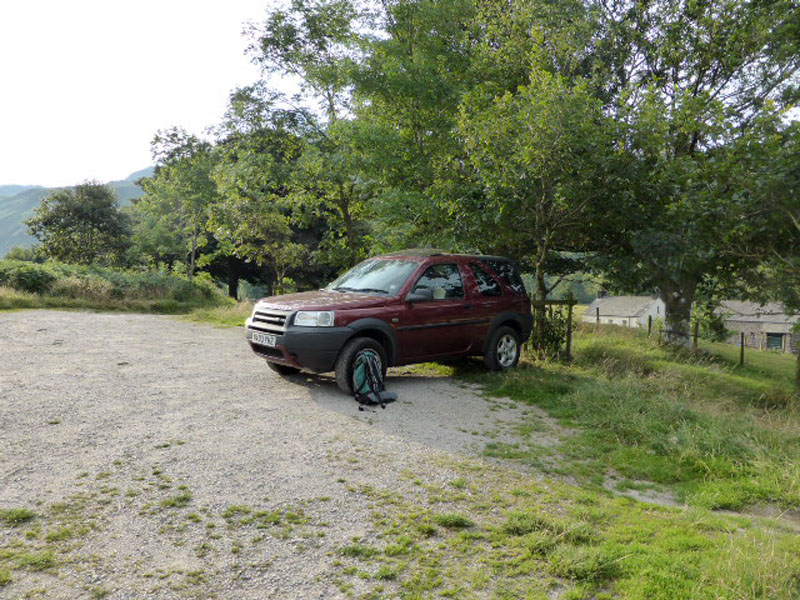
Parking close to Wha House Farm (seen right) on the road through Eskdale, this walk started at 07:45hrs. A friend suggested this walk earlier in the week; his brother is collecting Wainwright summits and wanted to add Slight Side. However, their plan changed and they were to set off from Great Langdale and link Rossett Pike with Slight Side, thus bagging two unclaimed summits in one go. Eeeek "no thanks", said I to the fifteen mile and 5,000ft of ascent, hot summer's day adventure.
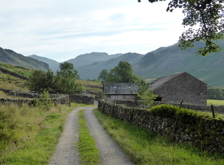
Taw House
Conventionally, walkers aiming for Slight Side - Scafell's southern neighbour, would leave the car park at Wha House and head uphill into the landscape and aim for Cat Crag. Today, I chose to stay on the farm track for Taw House, then take the field path to Scale Gill.
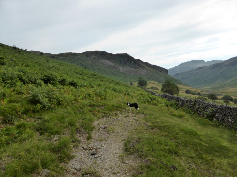
To Scale Gill
The reason for this choice was to give Molly an early opportunity to take a dip. Brock Crag is ahead with Esk Pike further away.
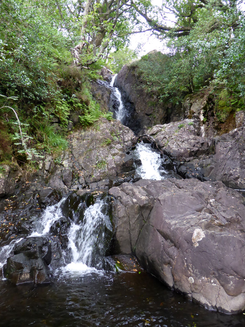
Scale Gill
From the foot of Scale Gill it was up on a path to join a well-trodden route to the Scafells.
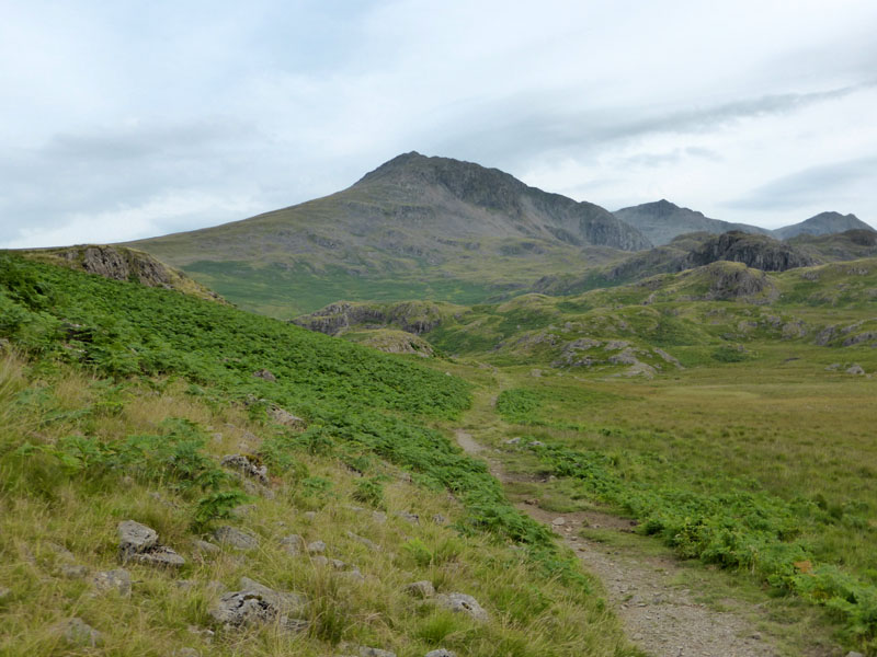
Slight Side
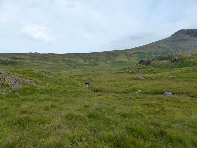
Last time I walked up to the summit of Slight Side from Wha House, I met no other walkers - nearly five years later and the solitude is repeated. We needed to cross Cowcove Beck to gain the ridge up to Horn Crag (face of Slight Side). After such a dry spell, I wasn't expecting any tricky, squelchy bits.
 |
 |
Crossing the Basin
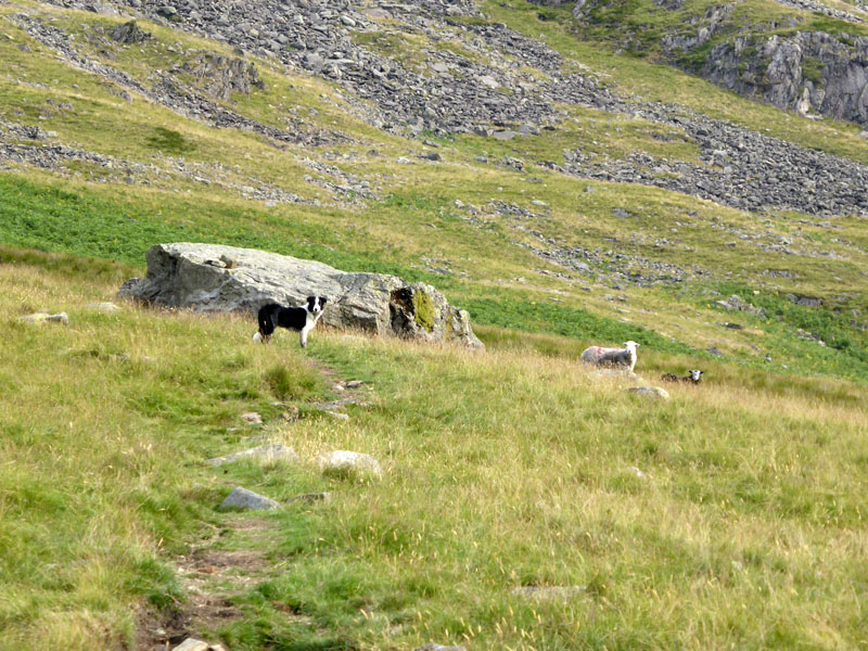
Cowcove Beck and the basin in which it sits must be quite boggy in wet weather and therefore should be avoided at certain times. A large rock is conveniently situated for a short break. All eyes are on me as I approach a well-behaved dog, who now knows that sheep are "naughty" and shouldn't be disturbed.
Steep Ascent
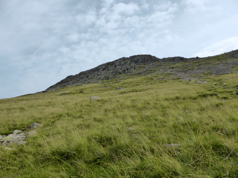
Another warm day, less sunny than yesterday (at the moment). I chose to contour around the southern side of the summit territory for a different approach to the summit.
Aircrash Wreckage
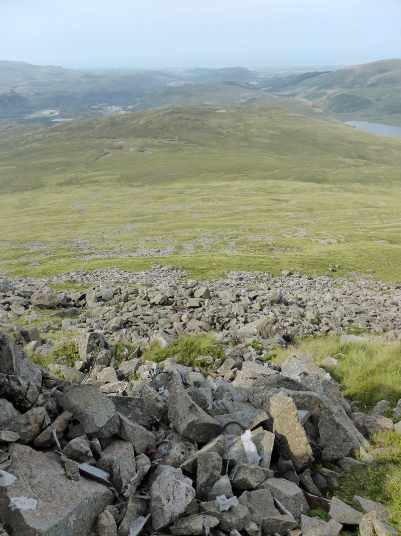
In August 1941, two Hurricane Aircraft crashed into the side of the mountain. Small pieces of wreckage remain. Burnmoor Tarn is over to the right. Soon enough we are on top of Slight Side.
 |
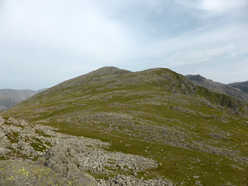 |
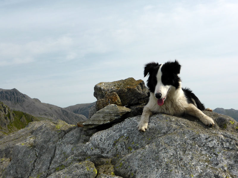
Molly bags the summit and the view to Scafell opens up. Two and a half hours to this point, 2,499ft asl. On the whole, Wainwright does Slight Side few favours. Four pages is the bare minimum afforded to any of his 214 fells and this lofty peak surely deserves at least six, maybe eight. Just four puts it in the same category as some of the less intersting lumps and bumps.
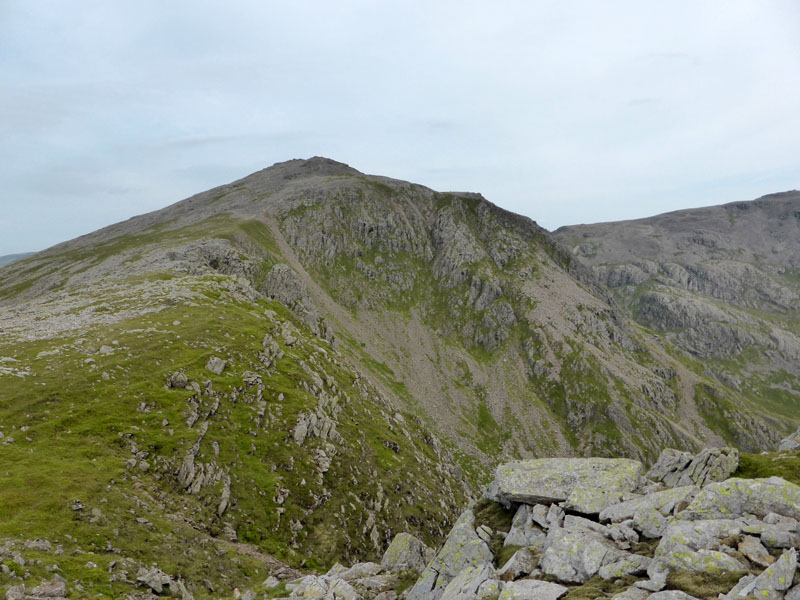
Scafell from Tom Fox's Crag
Straight ahead over the "Long Green" for one of Lakeland's 3,000ft'ers.
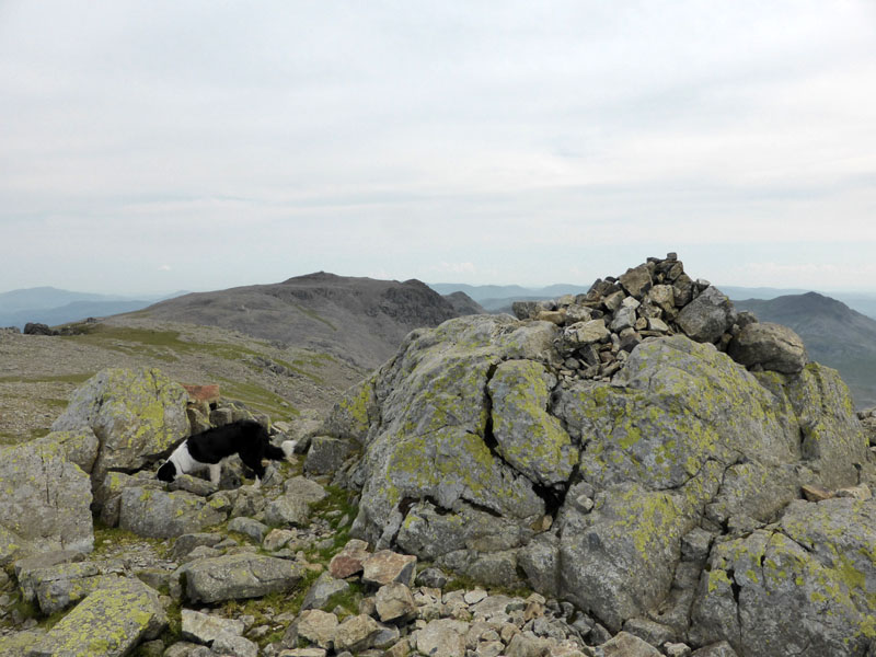
Scafell Summit 3,162ft asl
Just across the way lies Scafell Pike. We took lunch up here, just above Deep Gill.
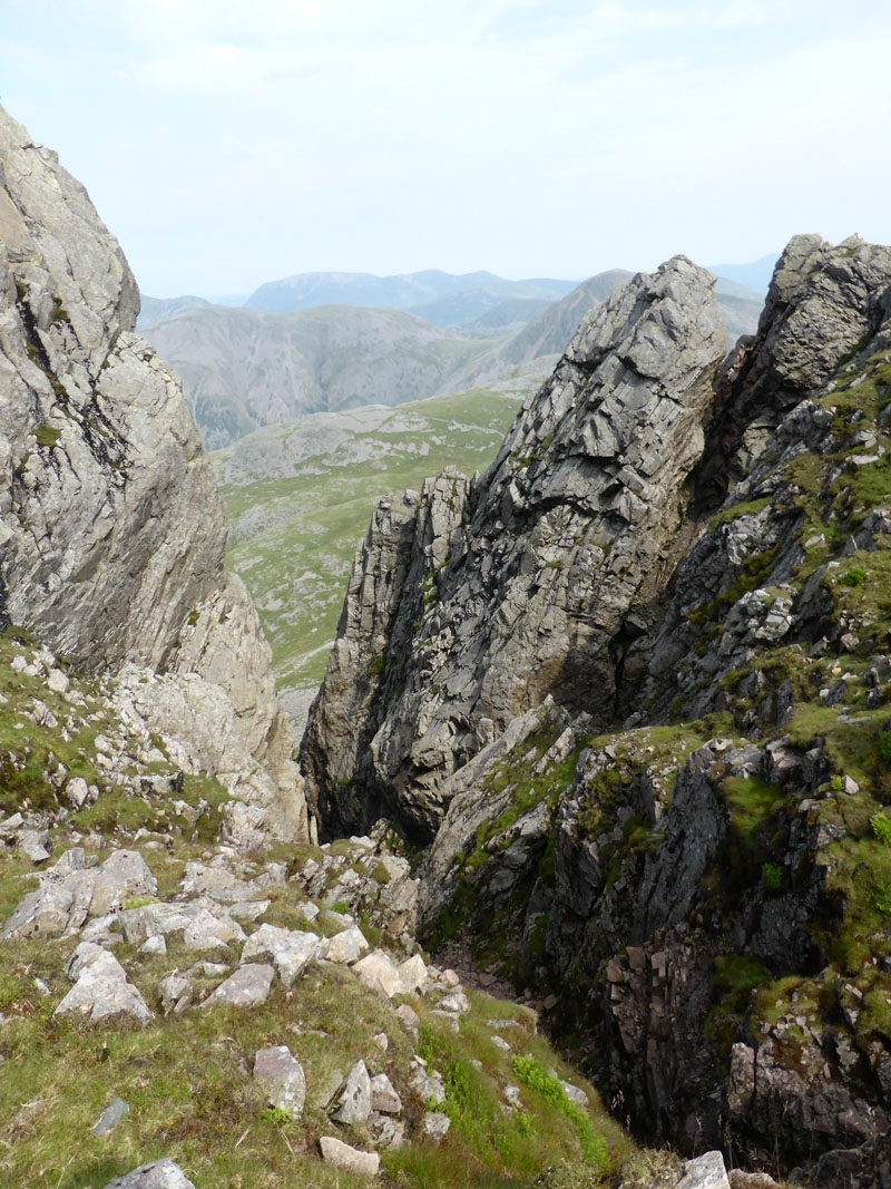
Deep Gill
On Wainwright's "Scafell 9", he appears to have drawn a self-portrait, sat overlooking Deep Gill. Was he one for taking a quick drag at the top of the fells? Nowadays most folk would be checking their i-phones or similar. Now for the toughest part of the walk, the descent to Foxes Tarn and on to Cam Spout.
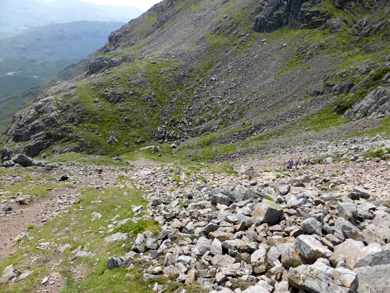
Foxes Tarn
It's a mess! Very loose rocks all the way down to Foxes Tarn, damaged by thousands of walkers' boots. The second half down to Cam Spout is more naturally challenging, it's a steep gully requiring great care.
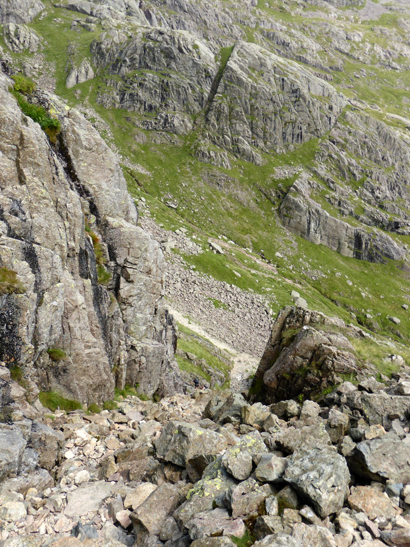
The Steep Gully
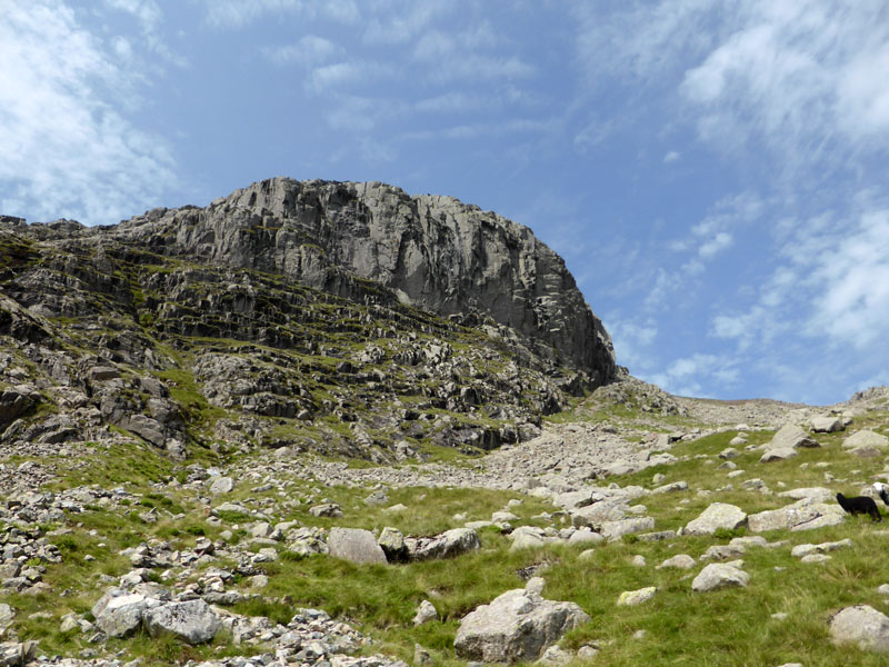
Scafell East Buttress
Looking back up the fell to the East Buttress and Mickledore (the col between the two Scafells).
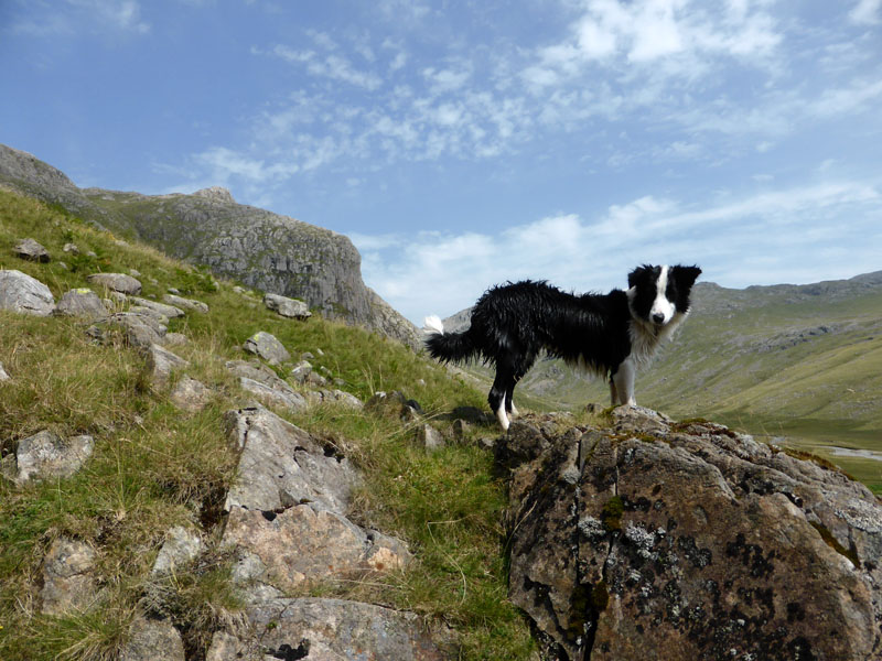
Molly
Molly is wet after a dip in one of the many inviting pools of Cam Spout.
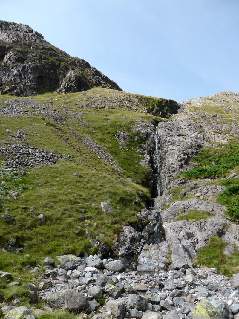
Cam Spout
 |
 |
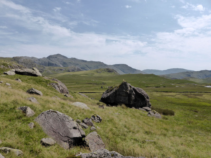
Sampson's Stones |
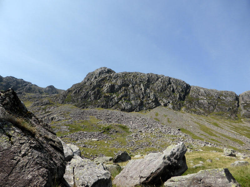
Cam Spout Crag |
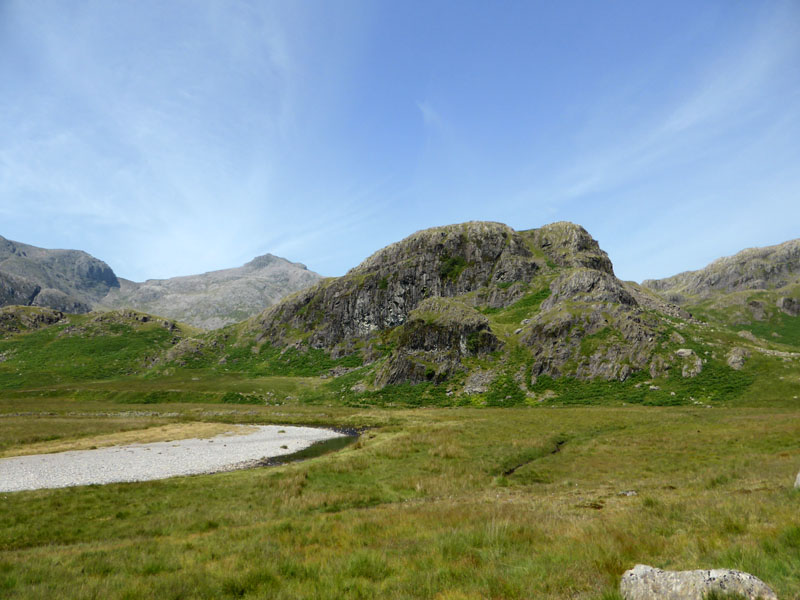
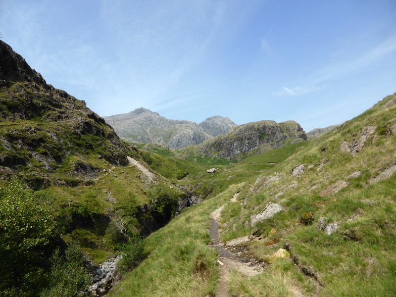
Following a path to Sampson's Stones, the fallen boulders from Cam Spout Crag, we then cross the River Esk. This, in my opinion is the very best bit of the Lake District. All around you are mountains, there's an unfamiliar silence in Upper Eskdale; on days like today, the air is clear and every step is a pleasure on nature's tufted carpet. You are miles from the nearest tarmac and therefore hamper-bearing tourists are still some distance away.
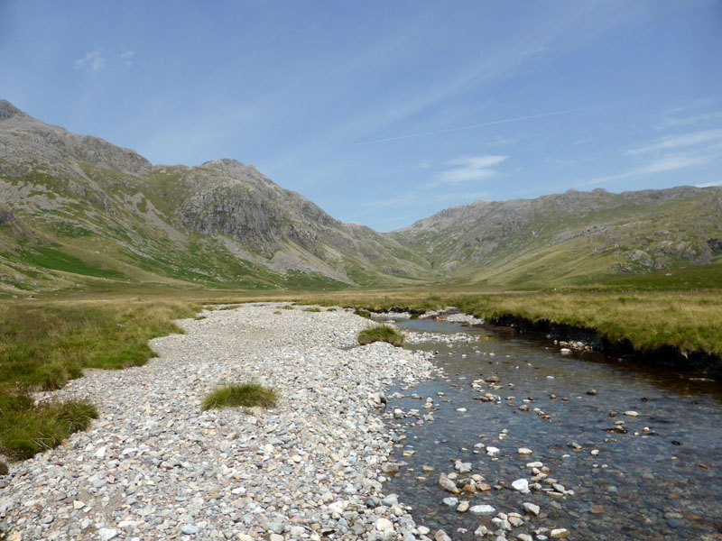
Upper Eskdale
Scar Lathing
 |
 |
The Waterfalls of Upper Eskdale
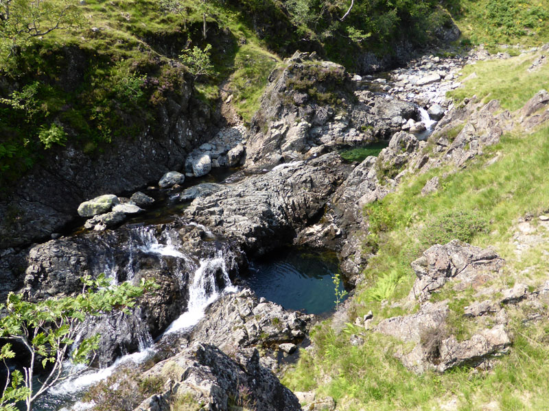
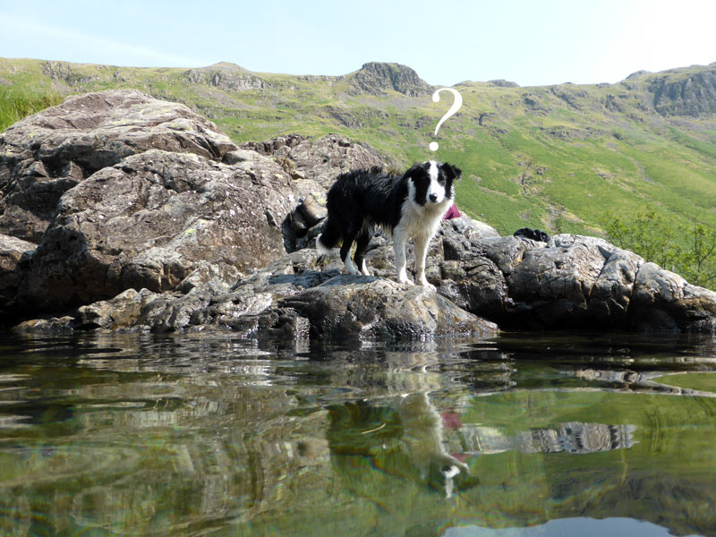
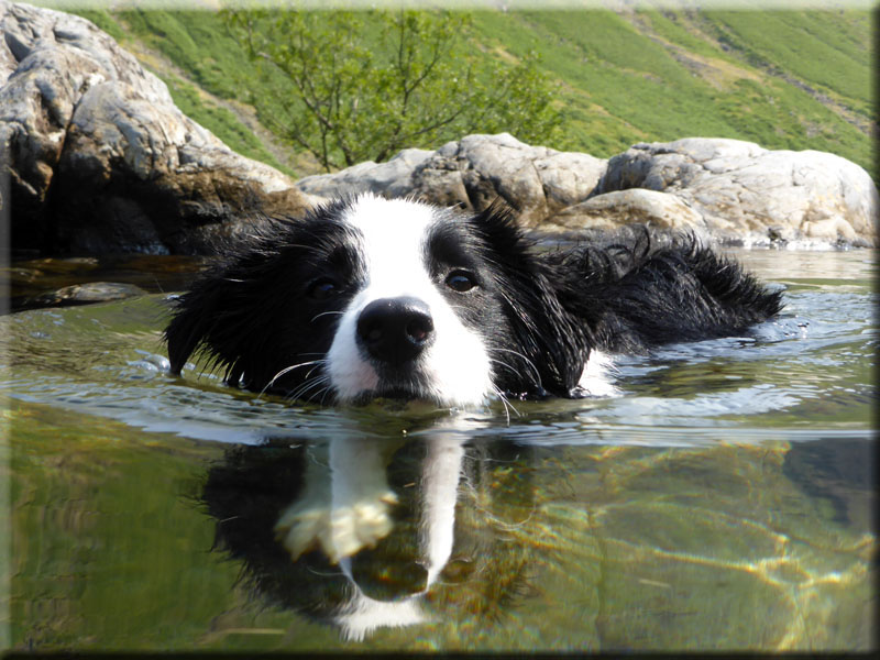
On the stretch down to Lincove Bridge, there is a succession of waterfalls and plunge pools. I was looking for the right one for Molly and I to take a dip together. The one on the left looked very inviting, but I wasn't sure about getting out safely.
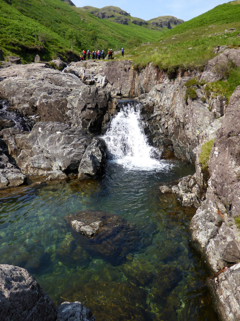
Plunge Pool
Thrill seekers have congregated at the pool above this one, what's with hard hats and wetsuits? Here Molly and I took to the water, she found it rather confusing to see me in the drink.
~~~
~~~
After our plunge pool adventure, we descend to Lincove Bridge and then onto the more populated parts of the water park.
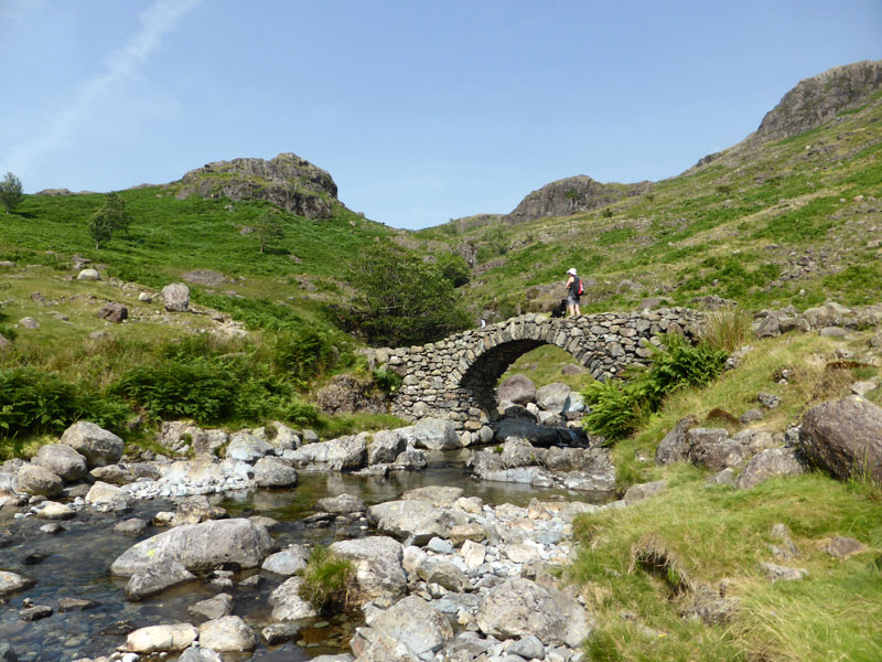
Lincove Bridge
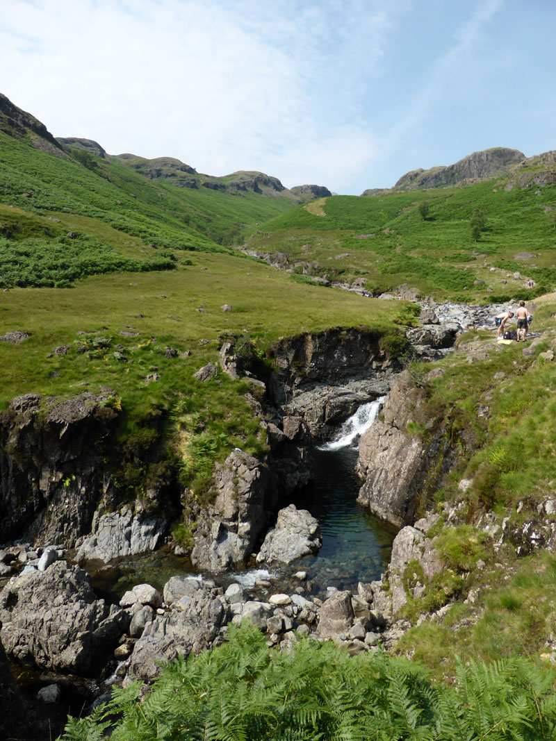
Tongue Pot
These pools were populated by teenagers and the like, drinking beer and stuff. Now that never happened in my day .....
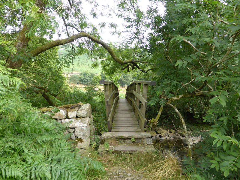
Footbridge by Brotherilkeld Farm
Crossing the footbridge takes us back to Taw House and the track back to Wha House.
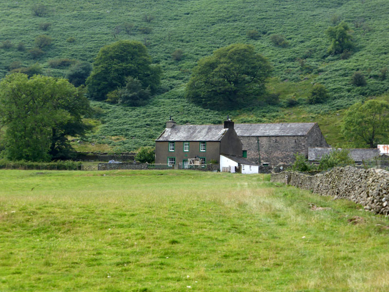 |
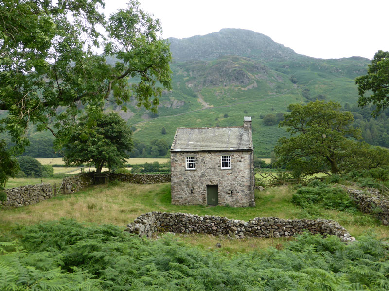 |
Taw House |
Birdhow |
The middle part of the walk had been very warm and sunny, but now it's clouding over. Saturday evening was very wet in Western Lakeland, nicely timed - six hours either side and it would have been a disaster! The others managed their Rossett Pike / Slight Side ridge walk, that'll take some beating in terms of bringing two fells together for the sake of box-ticking.
Walkers: Me and Molly the Dog
Time taken: 8hrs 20mins hours over a distance of about 11 miles.
Greetings: Nothing compared with the crowds on Scafell Pike! Nobody to chat to from the start until the area around Deep Gill and the same again between the foot of Foxes Tarn gully and the waterfalls of Upper Eskdale.
Weather: Mainly Sunny and very warm.
All photos copyright Richard Ratcliffe 2014 ©
Take me back to the start ....