
~Crag Fell~
25th July 2014
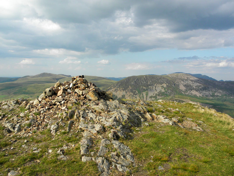
Crag Fell Summit
Scroll down for photos and a description of the walk....

Revelin Crag
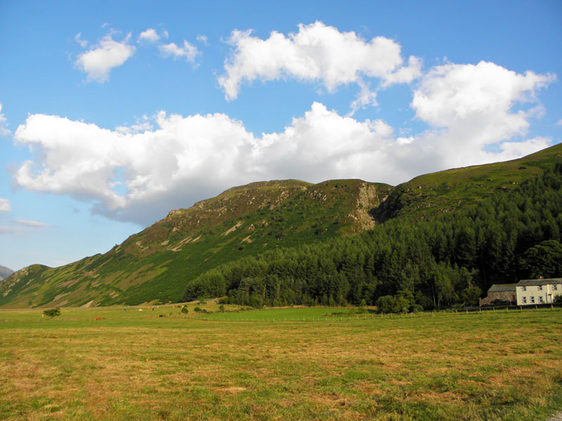
The rather unimaginatively-named Crag Fell belongs to Ennerdale and today's walk started from Bleach Green car park, close to the foot of Ennerdale Water and where the weir manages water outflow into the River Ehen. "They" are working on the weir to improve water flow in the river, or something like that. Revelin Crag is the title of the bold frontage to Crag Fell. Start time of 16:50hrs.
 |
 |
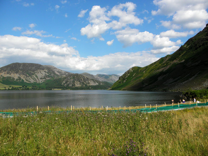
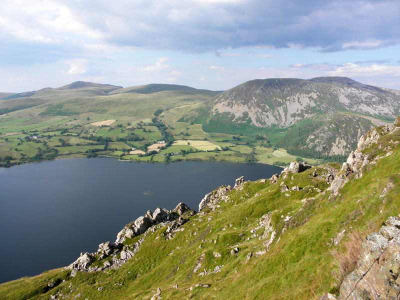
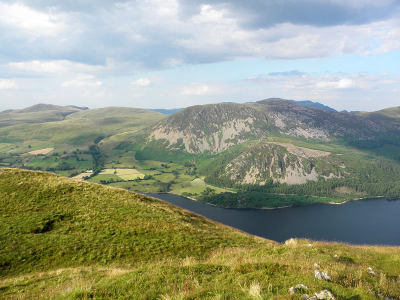
Ennerdale Water
Youngsters are taking a dip in the water. Will they take their rubbish home with them afterwards, I wonder? Molly, who has spent more than three hours in the hot car today, is taking the opportunity to freshen up - actually her third swim of the day after water stops on the way up. Early writings called the lake Brodewater, Brodwater or Broad Water, with Ennerdale Water adopted around 1784.
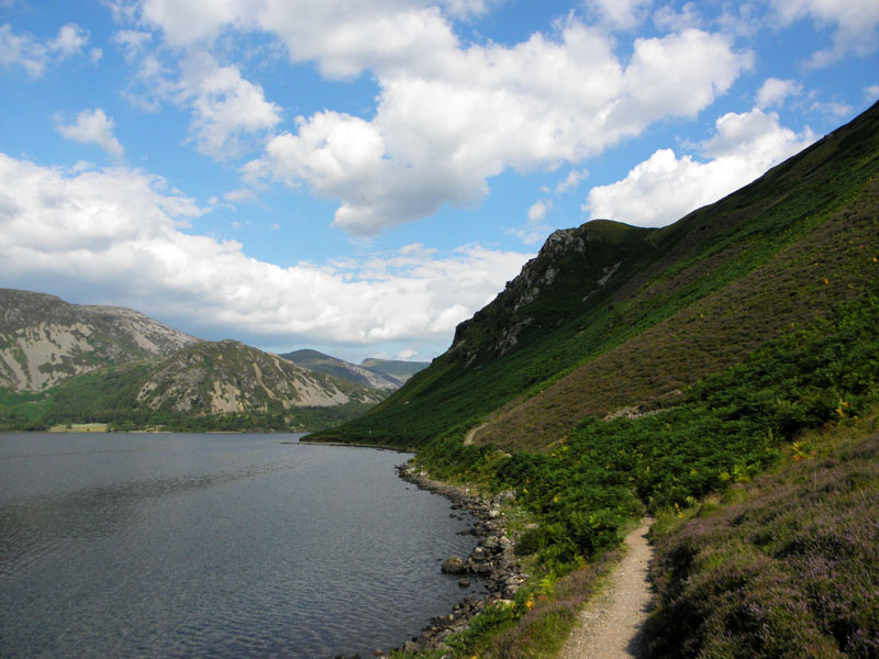
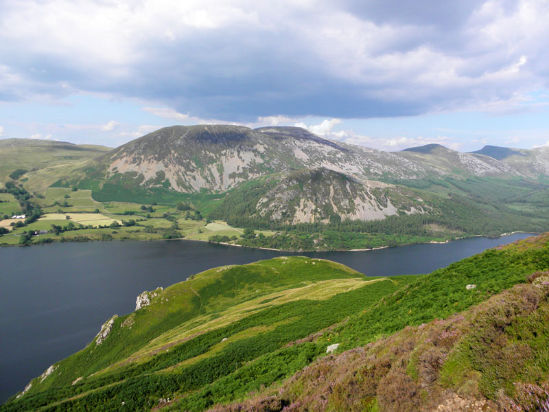
Anglers Crag
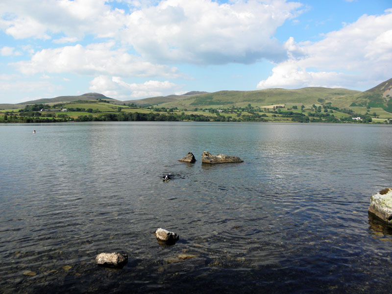
I've walked around Ennerdale on two occasions in the past and I can recommend it for legs unwilling to climb, or low-cloud days when options are limited. I think the around-lake length is about seven miles, noting that you need to go beyond the head of the lake to find the bridge across Char Dub.
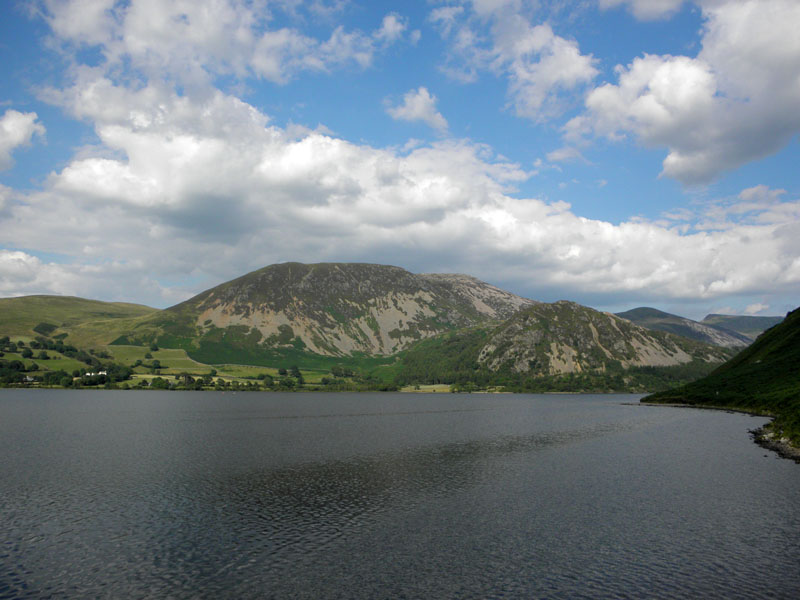
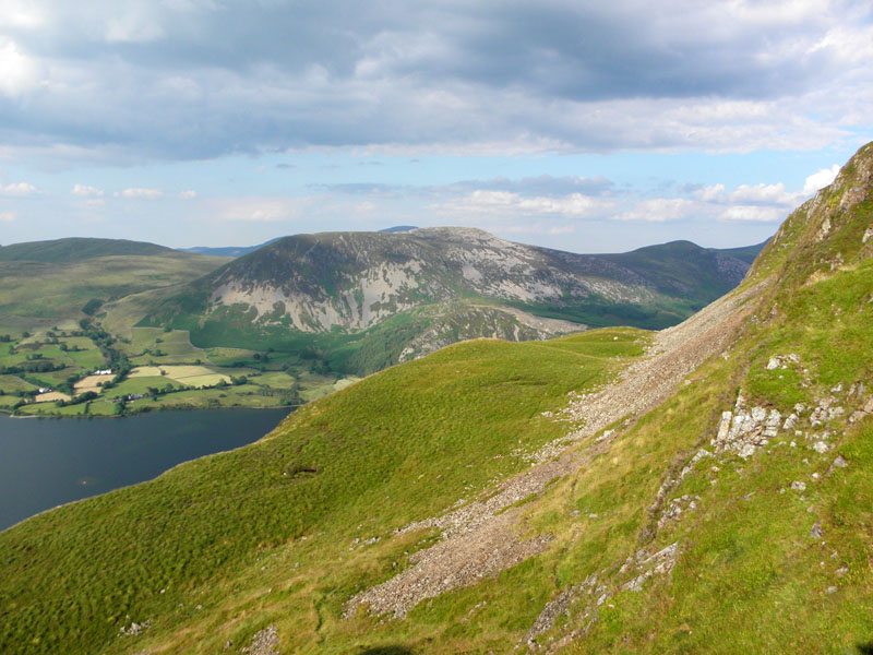
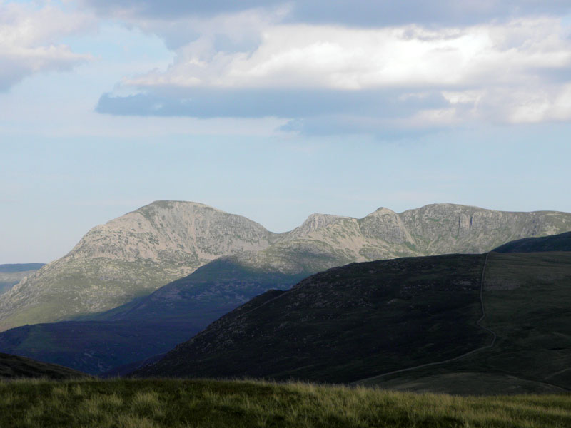
Great Borne
Across the lake, Great Borne dominates the view, with Bowness Knot lower and to the right. The climb up to the top of Anglers Crag is quite a steep one, especially so if you miss the intended start point.
 |
 |
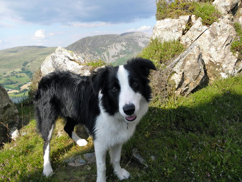
Up to the col behind the top of Anglers Crag and then off to find the "pinnacles" on Revelin Crag. To give you some idea of the heat today, I deemed it unwise to leave Molly in the car for even five minutes, so didn't make the usual provisions stop on the way up.
Water! Please
Doggy water provided at the pinnacles. These fractured rocks are unusual and no place for a game of bowls. Mind how you go.
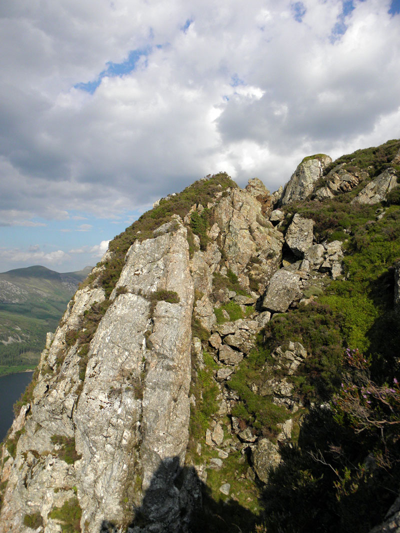
Pinnacle View
There are intersting rock views all around, here's one. Soon enough, we were above the pinnacles...
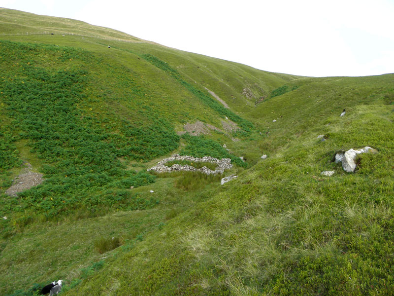
One of Ennerdale Water's islands can be seen. There was a hotel on the shorline close to the left-hand edge of this photo. The Angler's Inn is no more, a little more research is needed, or maybe some audience participation. See foot of the page...
 |
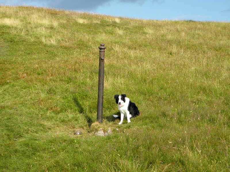 |
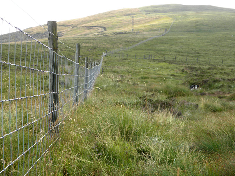
Up to the lonely fence post, briefly with Molly for company. It's now just an easy stroll to the summit.
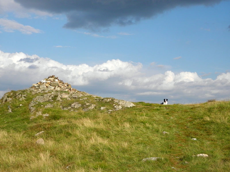
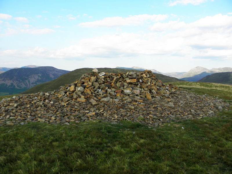
Crag Fell Top, 1710ft asl (approx)
The ascent took about an hour and a half, warm work.
Crag Fell View
Not wishing to start an argument, but Bowness Knot - the lump across the lake has lost a "t". My OS 1:50,000 uses one "t", but the older maps use two "t's". Wainwrigh uses two "t's". When is a Knott, not a Knott but now a Knot? Bowness points for the correct answer.
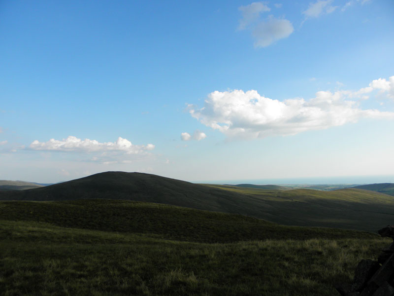
To Grike
All the notable points of interest on the ridge route to Grike have been crammed into one photograph, viz a fence.
 |
 |
Grike Summit (1596ft asl) and a look back to Crag Fell
Pillar from Grike
Ben Gill
Maybe when Molly lies in front of the fire in years to come and recalls her finest days on the fells, she will not be too critical of me for making her first ridge walk the one between Crag Fell and Grike. Could it not have been Pillar to Kirk Fell? Or Hopegill Head to Whiteside?
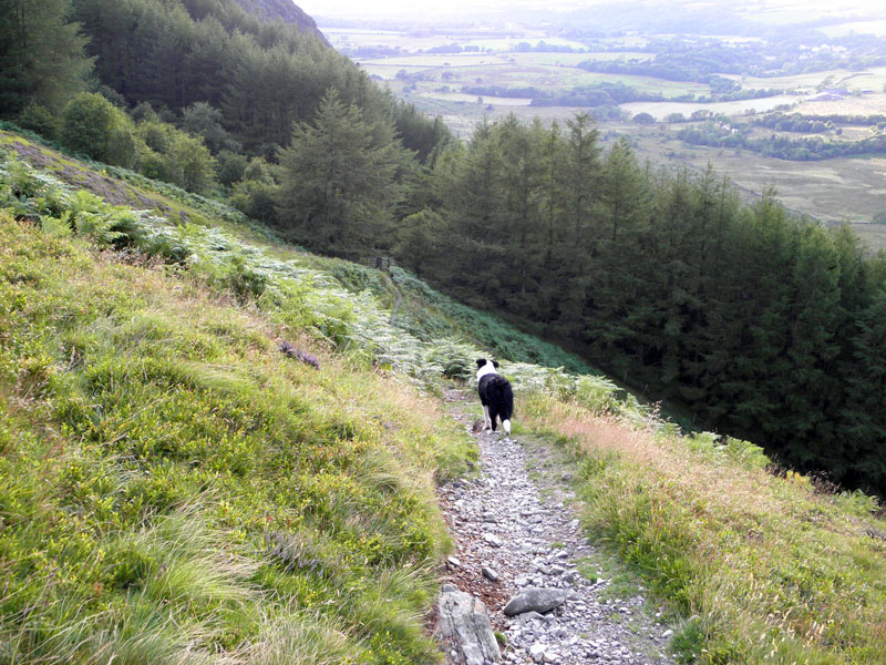
Into The Woods
Nearly There
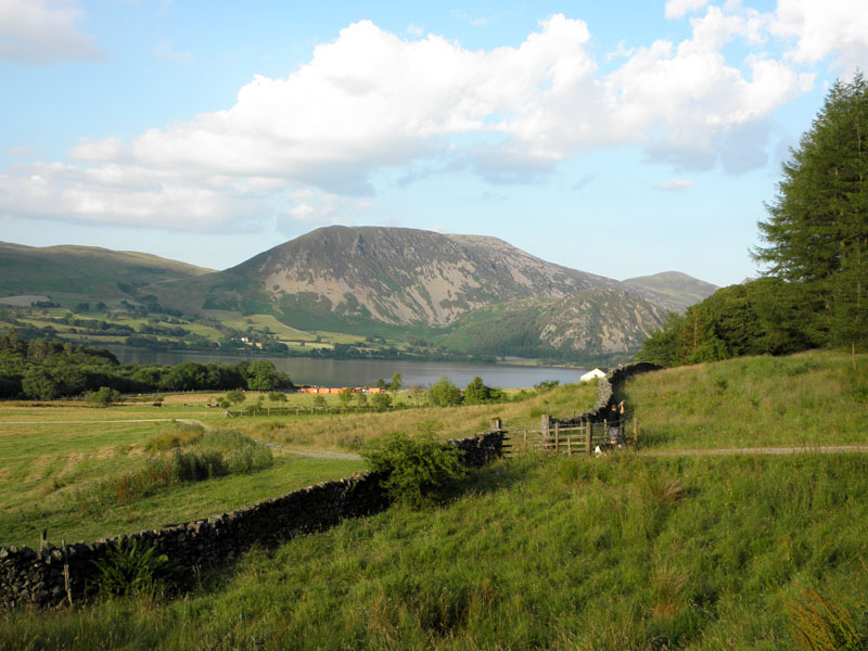
The gate leads into farm pastures and back to the car park.
Crag Fell with Ben Gill
The deep ravine is Ben Gill. Now then, if you've been paying attention, you will know that we don't have provisions. So we head off to Whitehaven for food, stuff and a look at the harbour.
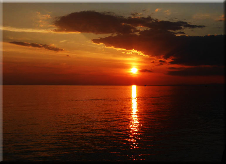
Whitehaven Sunset
Walkers: Me and Molly the Dog
Time taken: 2hrs 40mins hours over a distance of about 5 miles.
Greetings on the fells: Nil!
Weather: Sunny and very warm.
Fellwalker Maggie comments: "Great start, good route The Angler's Hotel you mention was demolished in 1961 due to a proposal to raise the water level of the lake which never happened. You can still see the garden, you would have passed it on the way back to the car park, quite a few trees and it's full of daffodils in the spring."
More About Whitehaven Harbour
All photos copyright Richard Ratcliffe 2014 ©
Take me back to the start ....