~Wetherlam~
15th August 2014
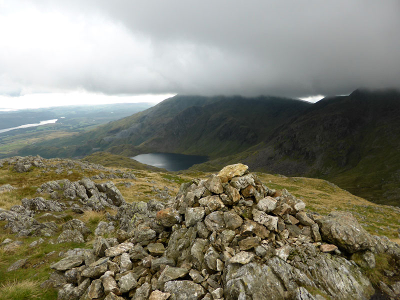
Wetherlam Summit
A "new" approach to an old favourite. The whole of the mass which is Wetherlam has points of interest and I've yet to go home disappointed after treading the rocks and grassy slopes of this Lakeland mountain.
Jo, Amber, Teagan (in the car), Polly (hiding), Molly n' Me
(Photo courtesy of John Paterson)
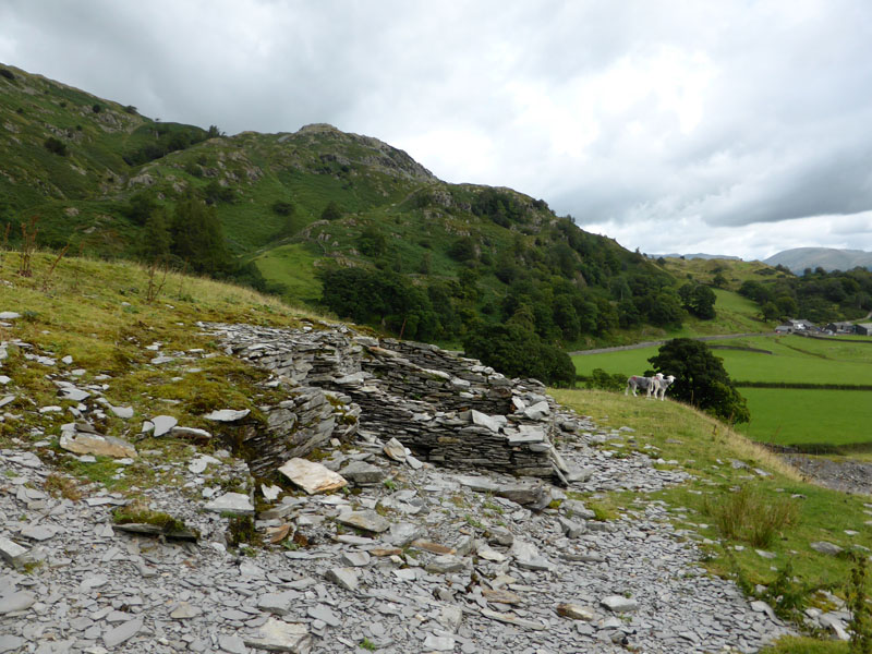
Tilberthwaite
Parking on the road to High Tilberthwaite, room enough for 20 cars and no charges, we set off at 10:30hrs and head for the footbridge over Tilberthwaite Gill. Forecast of overcast, gentle breezes and occasional sunny intervals.
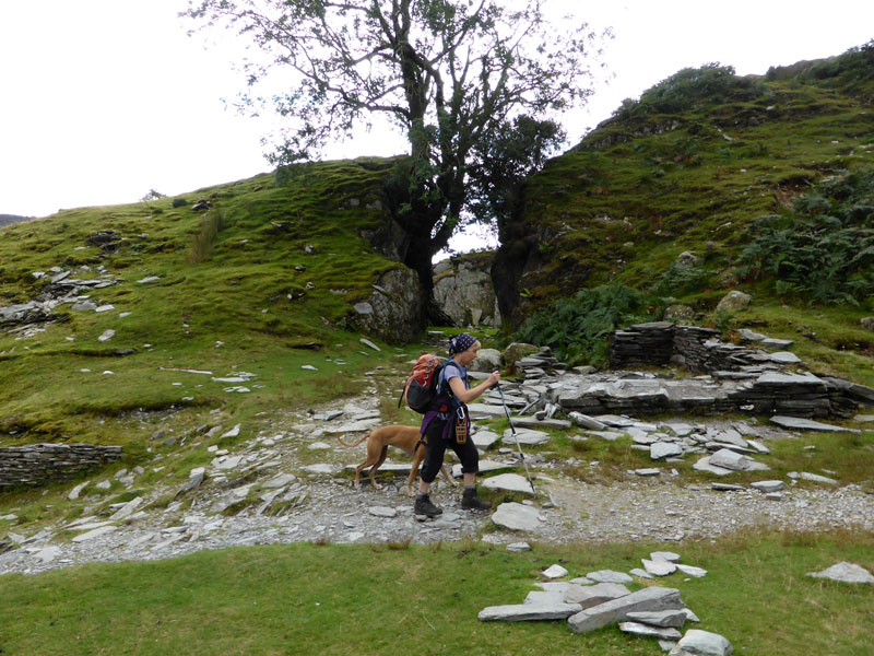 |
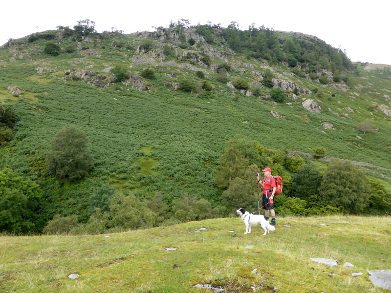 |
Jo and Amber |
John and Teagan |
My walk records reveal that this will be my ninth time up to the top of Wetherlam, but only the second direct ascent.
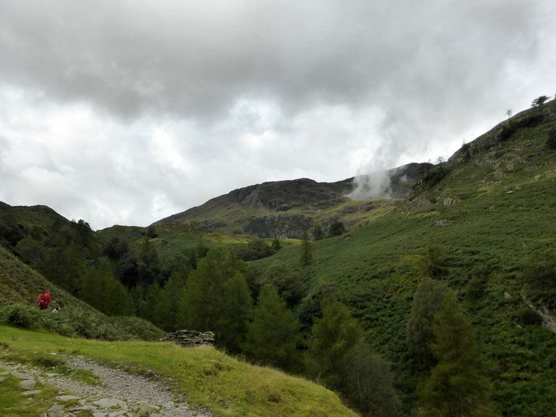
Steel Edge
The wisp of cloud emerges from the corrie behind Steel Edge. That's our chosen "Unfrequented" route for today - unpopular maybe because Wainwright fails to mention this route in his guide (Southern Fells). The deep ravine of Tilberthwaite Gill is well worth a visit, even if you're not going up to the high places.
Footbridge over Tilberthwaite Gill
(Photo courtesy of John Paterson)
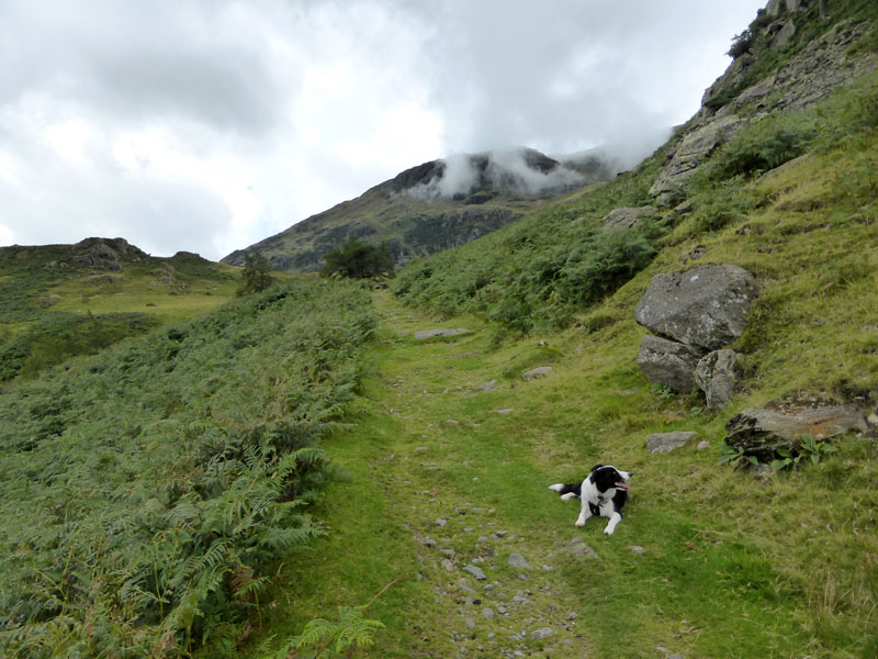
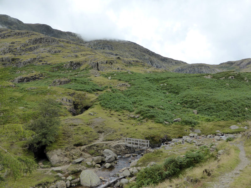
Steep down, no place for wheeled traffic and steep up the other side. Then the miners track to the old mining areas, a second footbridge takes us towards Steel Edge.
 |
 |
~~~~~
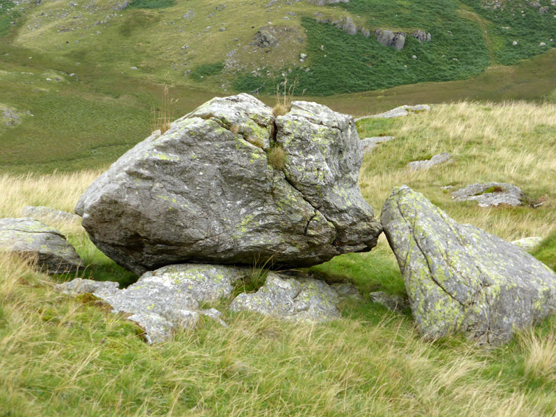
The "Kissing Stone"
Keep your eyes open for nature's shapes! Clouds and rocks can provide food for your imagination.
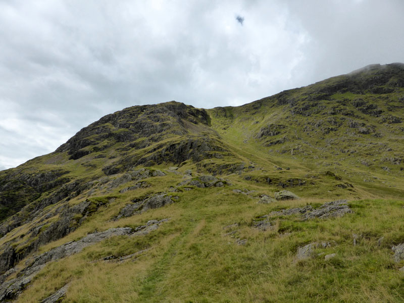
Steel Edge
It was just up here that John and Jo tried out the new "Spider Ropes". A new walkers' accessory for helping you up the crags; fire the rope and the suction pads grip the rocks, then pull yourself up.
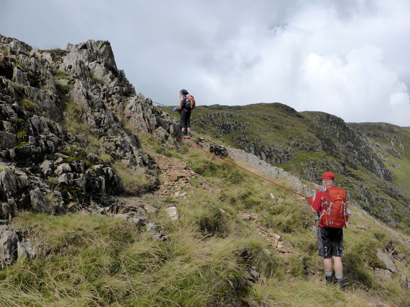
"Spider Ropes"
Colours to match your apparel.
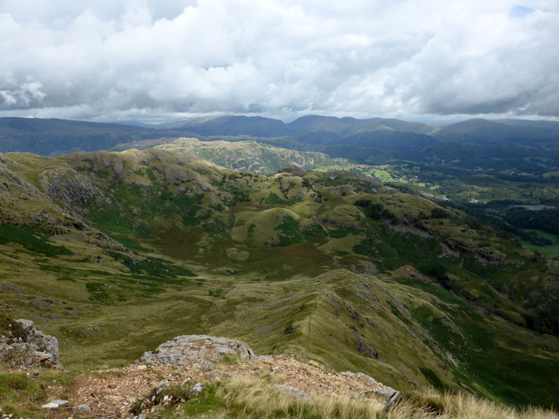
Looking Down Steel Edge
The only shower to bother us came along at this point and we made our way to the summit with coats on.
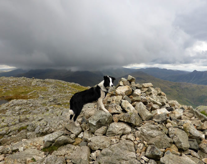
Molly on top of Wetherlam
 |
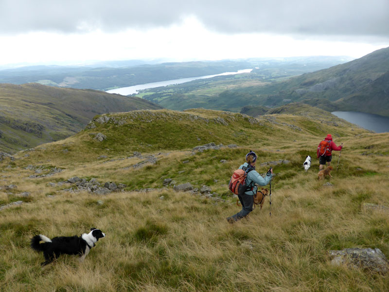 |
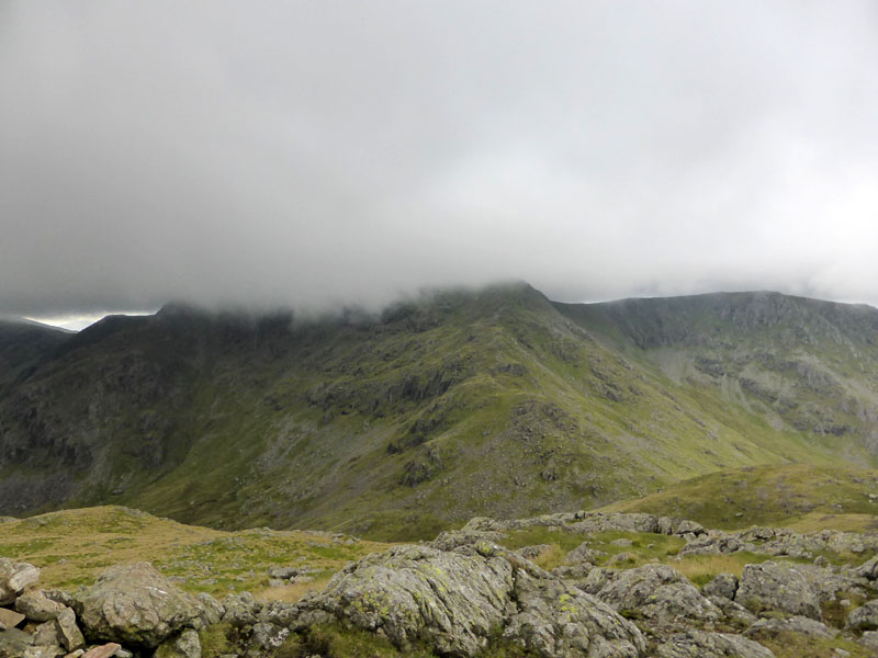
Looking over to Swirl How and its ascent route known as Prison Band (left). No place for lunch in the cool breeze, so we head off to Black Sails and down the slopes towards Levers Water (right).
 |
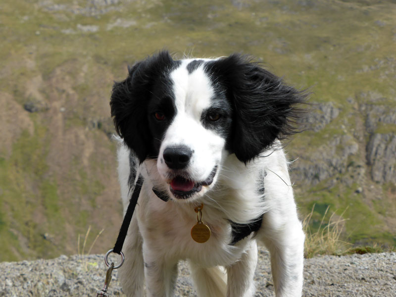 |
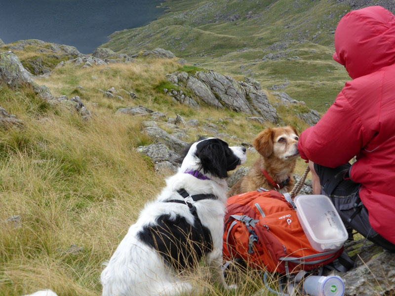
Lunch at separate tables due to a feeling that we should keep the dogs apart and not fighting over scraps. Teagan is a "Sprollie", combining the genes of a Spaniel and a Border Collie. Polly is a Nova Scotia Duck Tolling Retreiver. John is a Fellwalker.
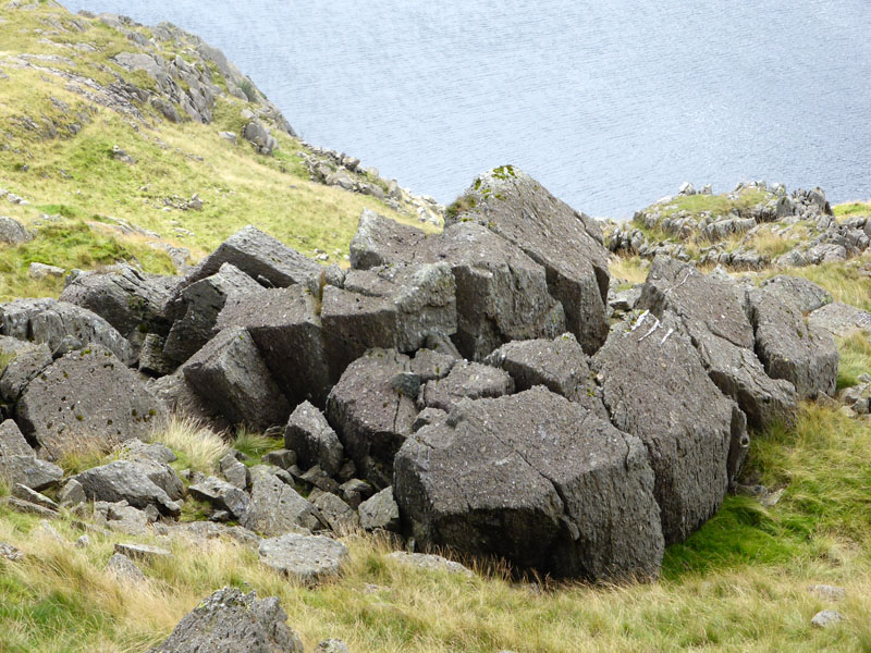
Frost-Shattered Rock
On the Black Sails Ridge and just above Levers Water lies the shattered rock. We carried on in good spirits until we reached the end of the ridge, Erin Crag and a steep drop below. So, a little reverse gear to find a path down to the incline of the old copper workings at the head of Coppermines Valley.
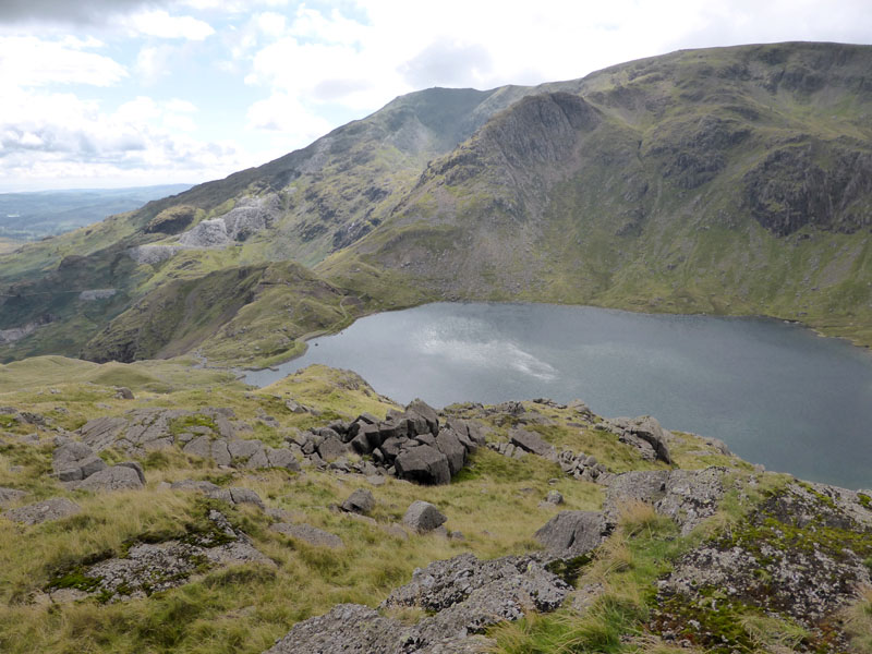
The Wider View
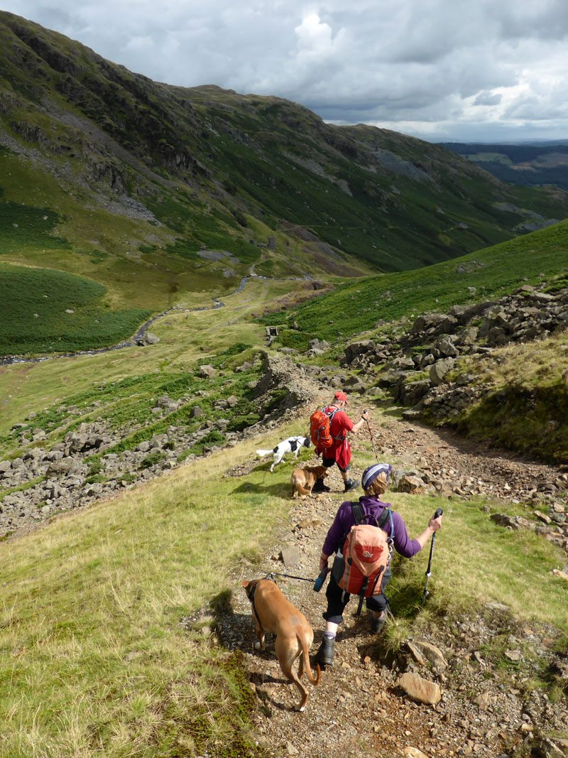
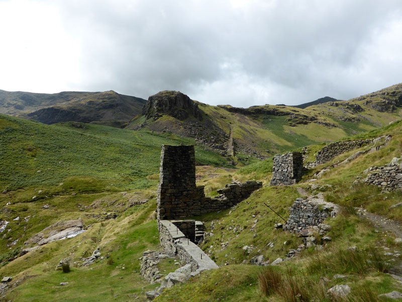
The Incline
 |
 |
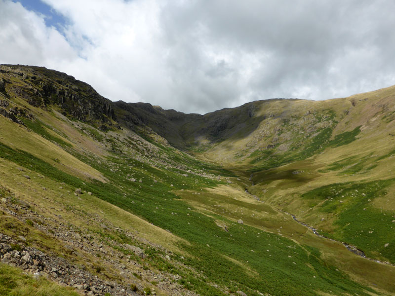
Red Dell Beck |
Erin Crag |
Looking back up Red Dell Beck to Black Sails and Wetherlam (r). On the right, we can see the virtue in not continuing over Erin Crag, seen over the top of the stone pillar.
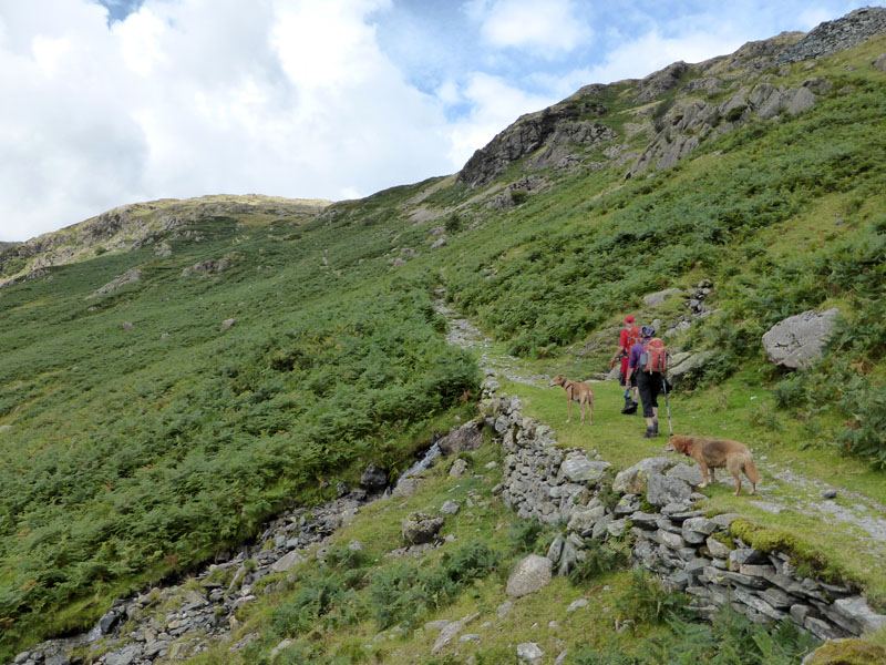
Hole Rake
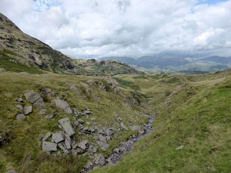
This old miners's route from Coniston to Tilberthwaite presents us with the ideal way to return to the cars. Again, this is not a path you'll find in Wainwright's Guides as it doesn't lead to or from a fell.
 |
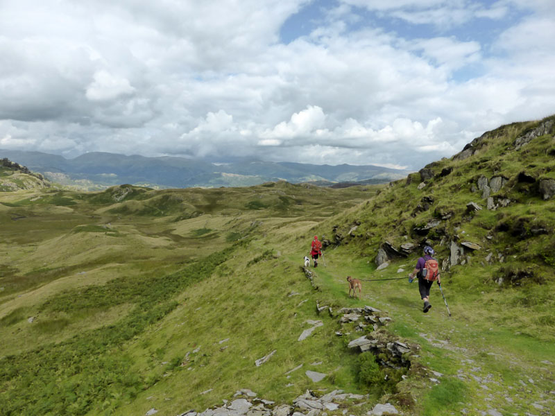 |
Scenes from Hole Rake
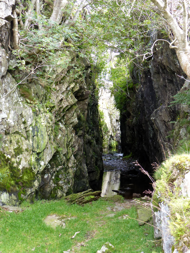
Flooded Quarry
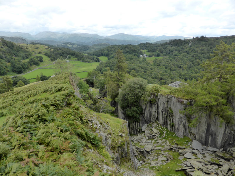
Tilberthwaite Quarry
One of the many big holes in the ground in the region of Tilberthwaite, the car park is just below.
Walkers: Jo Hall, John Paterson, Me and Molly the Dog, along with Amber, Polly and Teagan.
Time taken: 5hrs 30 mins over a distance of about 7 miles, with 2,850ft of ascent.
Route: High Tilberthwaite car park, Tilberthwaite Gill, Steel Edge, Lower Hows, Wetherlam Summit, Red Dell Head, Black Sails, Erin Crag, Red Dell Beck, Coppermines, Hole Rake, Tilberthwaite.
Weather: Breezy with one shower and a few sunny intervals.
Refreshments: Tea / Coffee and cakes at The Meadowdore Cafe, Coniston. Open after 4pm unlike at least two others, begging the age-old question: Why Do Cafes Close at Teatime?
Most photos copyright Richard Ratcliffe 2014 ©
Take me back to the start ....