
~Foulridge, Kelbrook and Salterforth~
9th August 2014
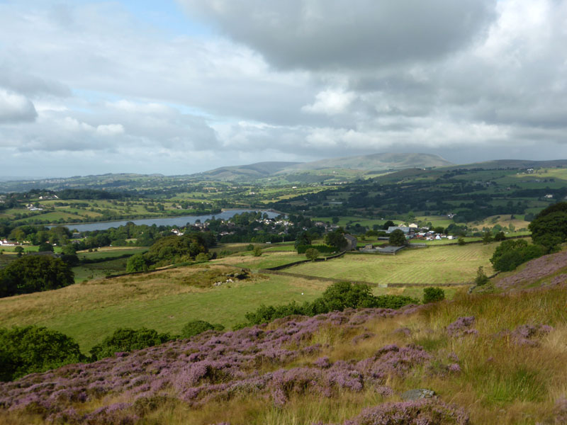
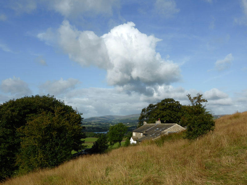
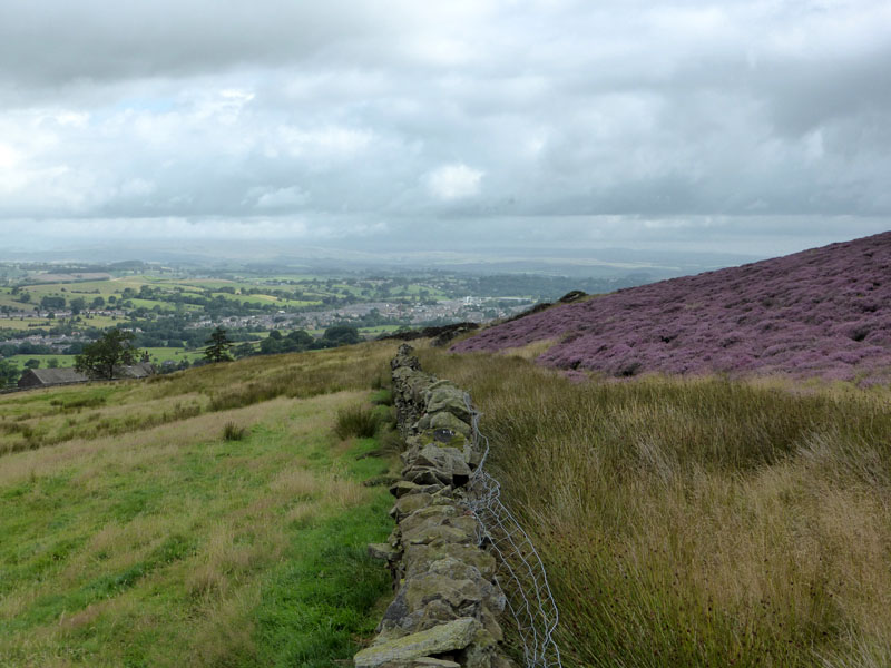
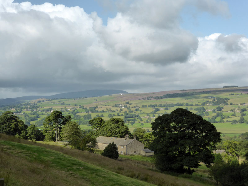
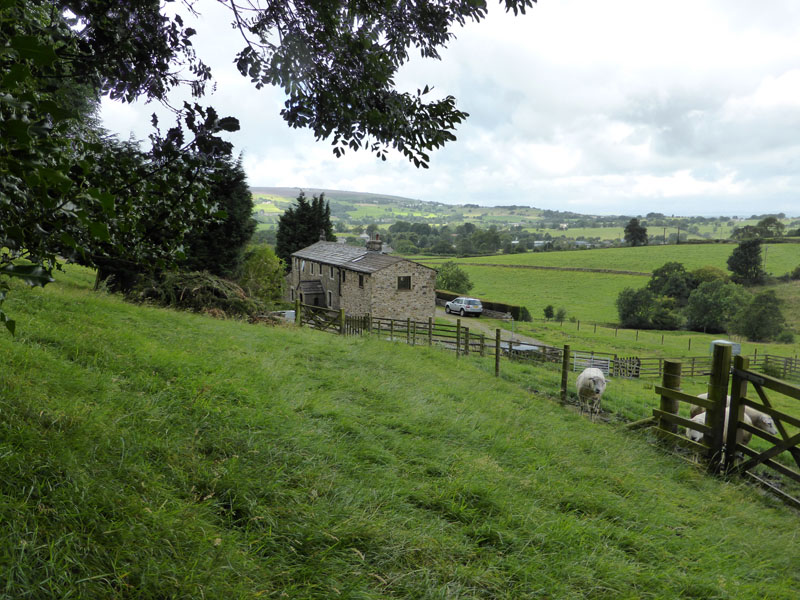
Noyna View
The endless opportunities to explore the home territory of East Lancashire continues with a look at some "new" lanes and pastures around Foulridge and Kelbrook.
 |
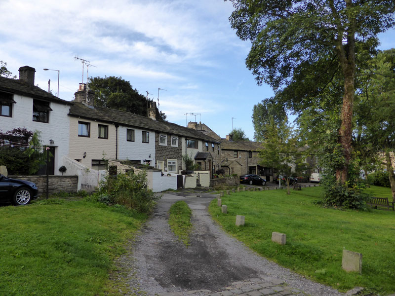 |
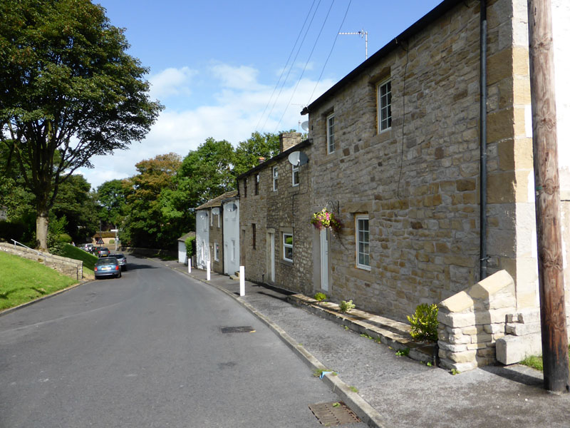
Stone Trough |
Cottages |
 |
 |
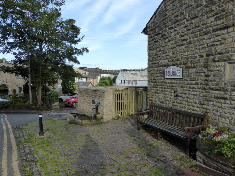
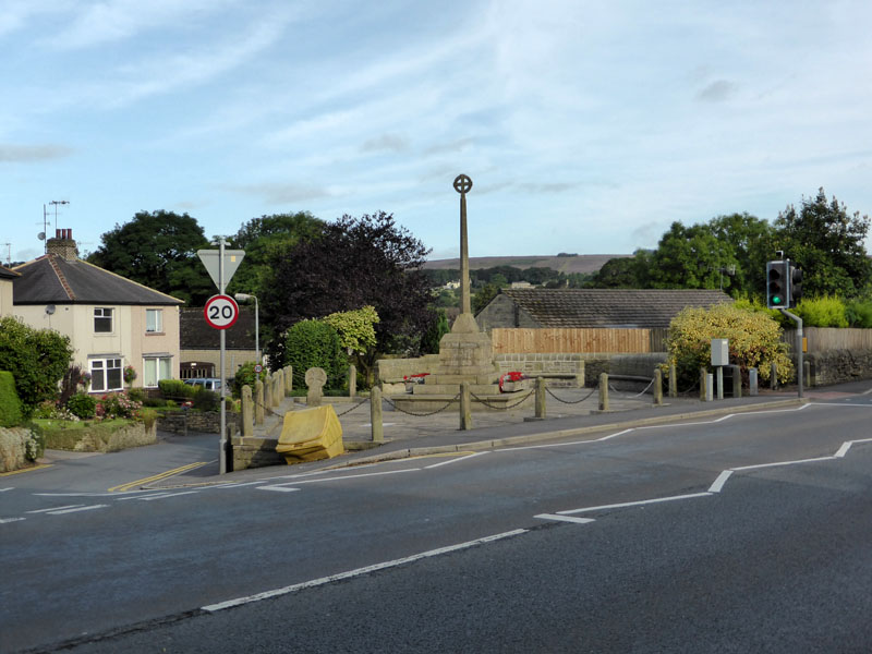
Foulridge War Memorial |
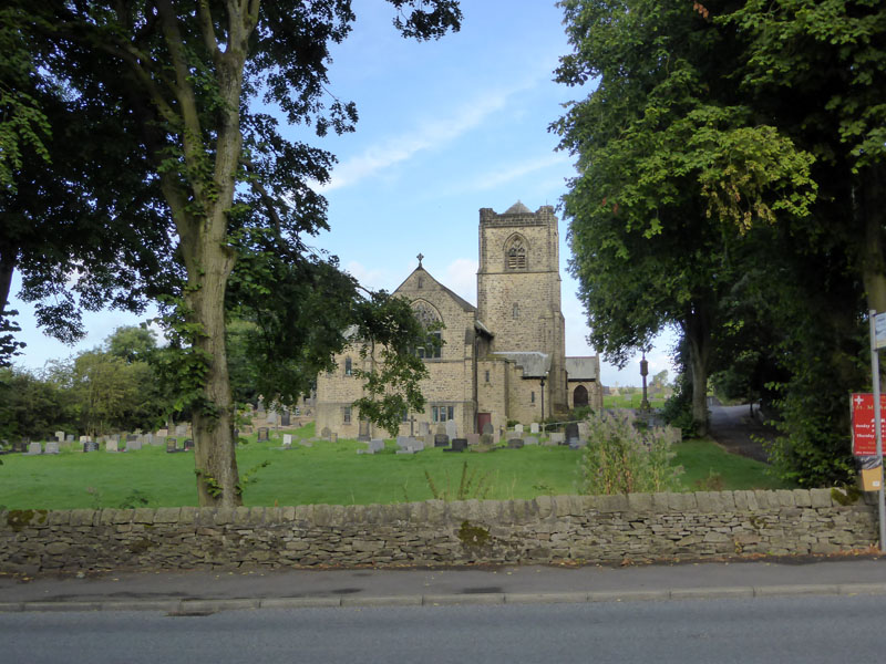
St.Michaels Church |
Foulridge
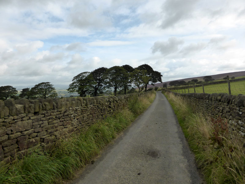
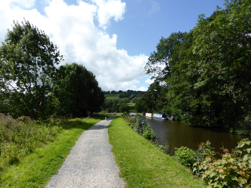
Foulridge, pronounced "fullridge", or maybe "foalridge", but not "fowlridge" is a small village on the road route from Colne to Skipton. It hosts the highest level of the Leeds & Liverpool along with a tunnel; it used to have a railway and a station. The station still exists, however it was moved brick-by-brick to Ingrow West on the Keighley & Worth Valley Railway. The walk started at 07:50hrs from the lane down to the wharf near the canal tunnel.
Lane to Lower Broach Farm
The lane (above) leaves the A56 opposite the church and leads to Lower Broach Farm. Young Molly wanted to avoid the farm itself, so we took footpaths around the farm and to Noyna Hall and hence to Noyna Hill.
Lower Broach Farm
Today might have been a day for the Lakes, but I had car issues, so opted to stay close to home.
 |
 |
~~~~~
Noyna Hall (left) and then Noyna Bottom (right). I was tiptoeing around the farm at Noyna Hall and then tried to pass the horses without a fuss. Then Molly barked, the farm dogs started barking, the horses jogged over and worried us a little, but we survived. So, up to Noyna Hill, a well-known local landmark, full of blooming heather at this time of year.
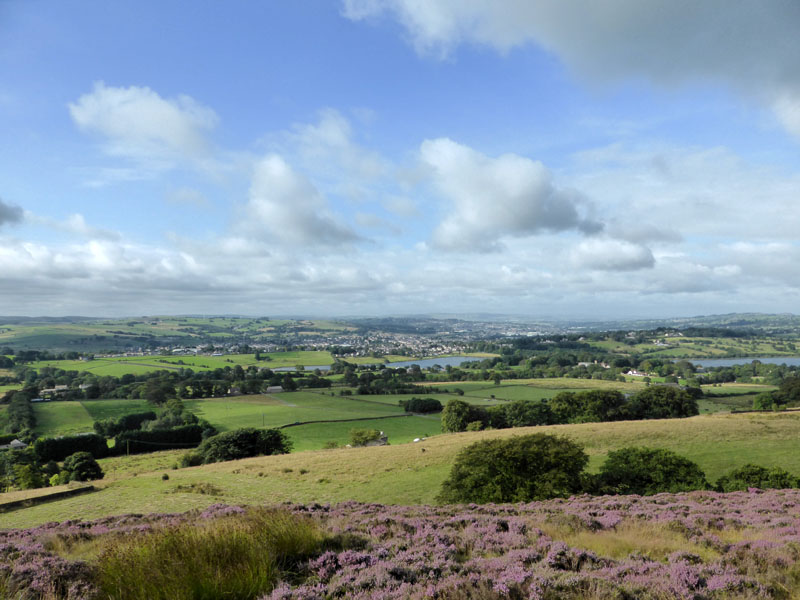
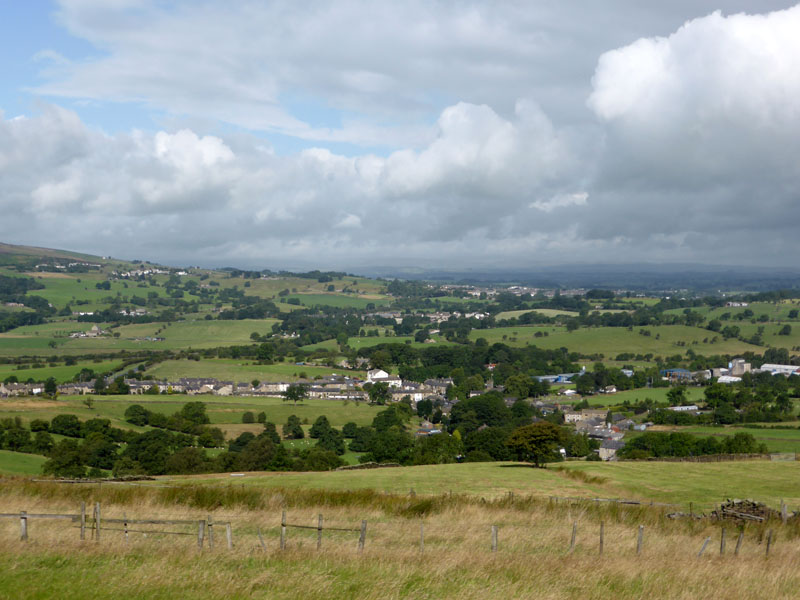
Colne from Noyna Hill
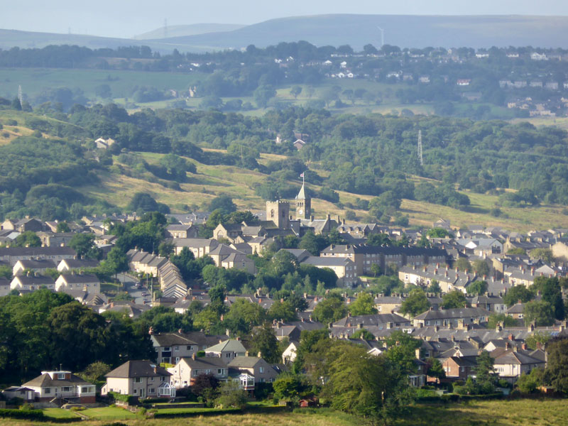
Zoom In on Colne
Noyna Hill rises to around 980ft asl and is fortunate not to have a Trig Point planted thereon. Trigged summits attract many more visitors and that would have made a mess of the heather and stuff.
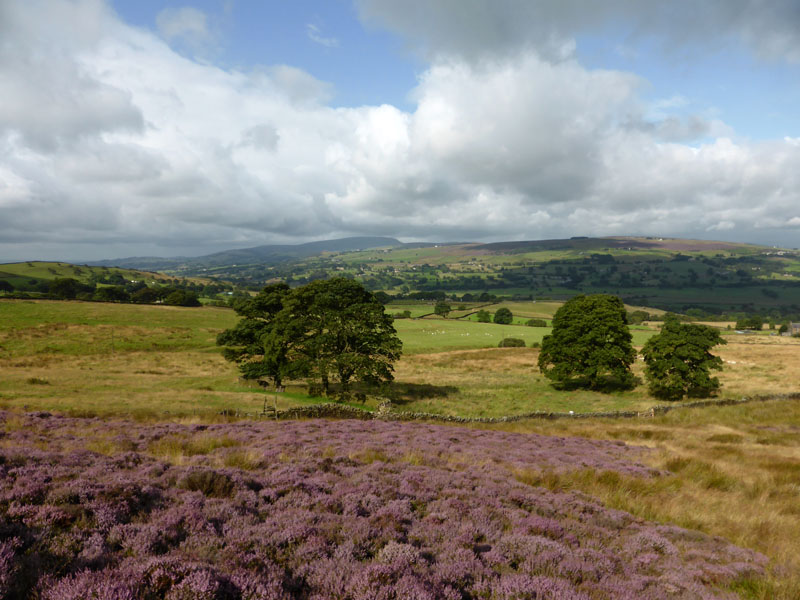
Heading East
I had no clear walk plan, but noticed the heathery slopes of Kelbrook Moor. A shower is fast approaching from the west. We descended to the trees (left) and picked up Cob Lane. All waymarked footpaths.
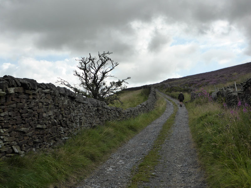
Cob Lane
 |
 |
Most of the way down Cob Lane it was raining. When we reached a kink in the road near to "Thick Bank" I got the map out and decided we could double back for a walk onto Kelbrook Moor (Open Access). However it was thick with reeds and heather and the closer we got to the wall where we would have started to climb, gunshots were ringing out and getting louder. Kelbrook Shooting Club has a range up there and it was a little unsettling. So, we turned tail and headed back to Thick Bank.
 |
 |
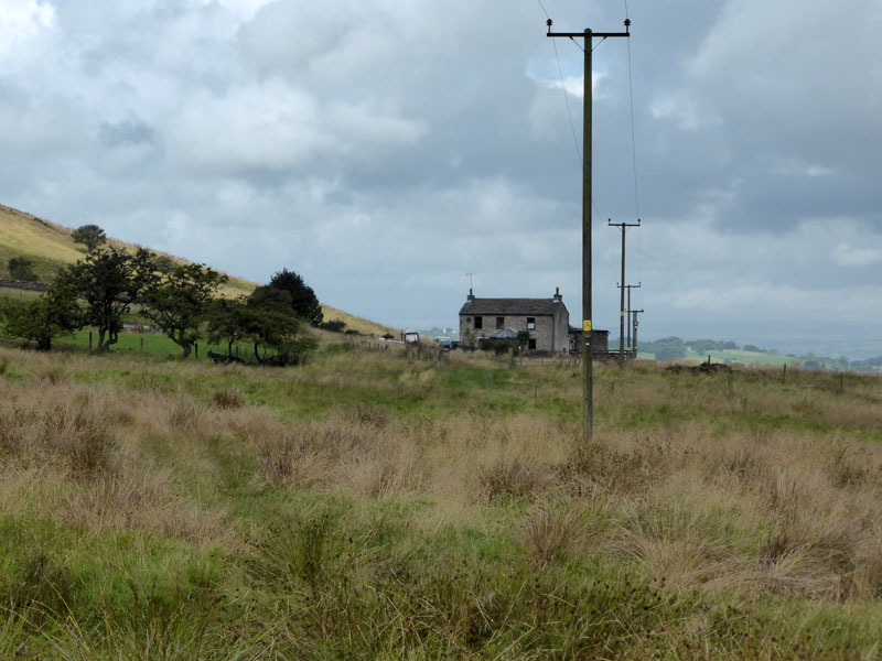
Turning right at Thick Bank, we took the lane as shown above (left) and looking over my shoulder the skies are brightening over the aforementioned farmhouse. The local dog walker recommended a route around Harden Beck and as I had no fixed plan, it seemed like a good idea.
Kelbrook
However, for the second time today we had to turn around ....
 |
 |
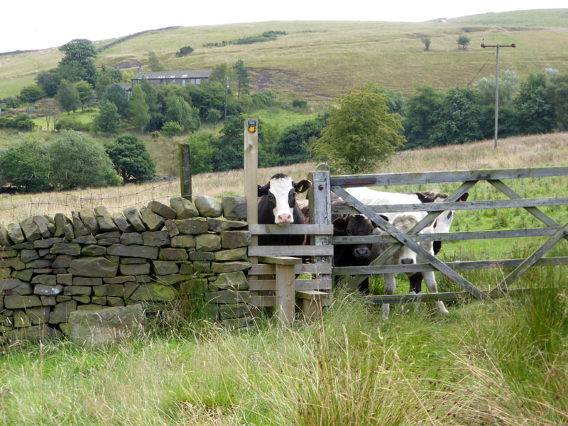
The young cows, of which there were about a dozen, did not provide the most welcomming sight. On the way back, I took the photo of Harden New Hall, a farmhouse above Harden Beck. We then took a footpath towards Kelbrook, passing Paris Farm.
Paris Farm
 |
 |
Kelbrook Scenes
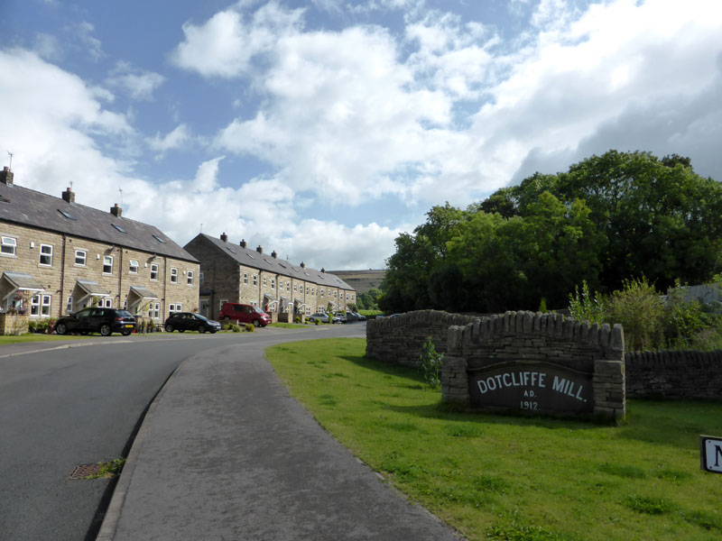
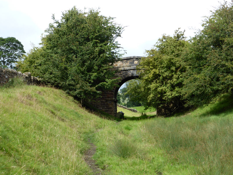
Dotcliffe Mill is no more. Much of Kelbrook is seldom seen by the road users hurrying to and from Skipton and Colne. After Kelbrook, it was a short walk to Sough (pro. Suff), where we found the old trackbed of the Colne to Skipton railway line.
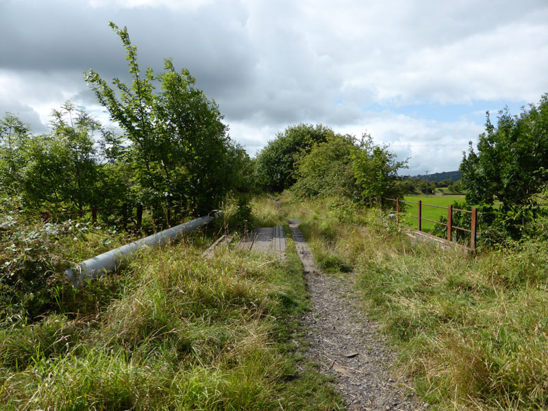
Skipton to Colne Line
The last time I was here was about 45 years ago and I was on a train heading in this direction. There was a branch to Barnoldswick from Earby and the map suggests a traffic-free cycle route, so it was time to explore and make our way to Salterforth.
Railway Bridge on the Barnoldswick Line
Having defeated nettles and climbed a fence, I was beginning to think that permission for access had been withdrawn. Just beyond the bridge, a cow and her calf were sat on the trackbed and for the third time today, we hot-footed it back from where we came.
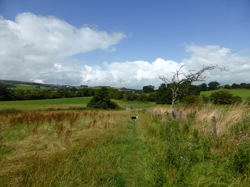
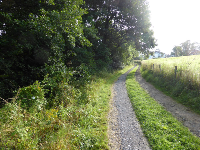
Path to Salterforth
So, back on the old Colne line, until we found the footpath to Salterforth.
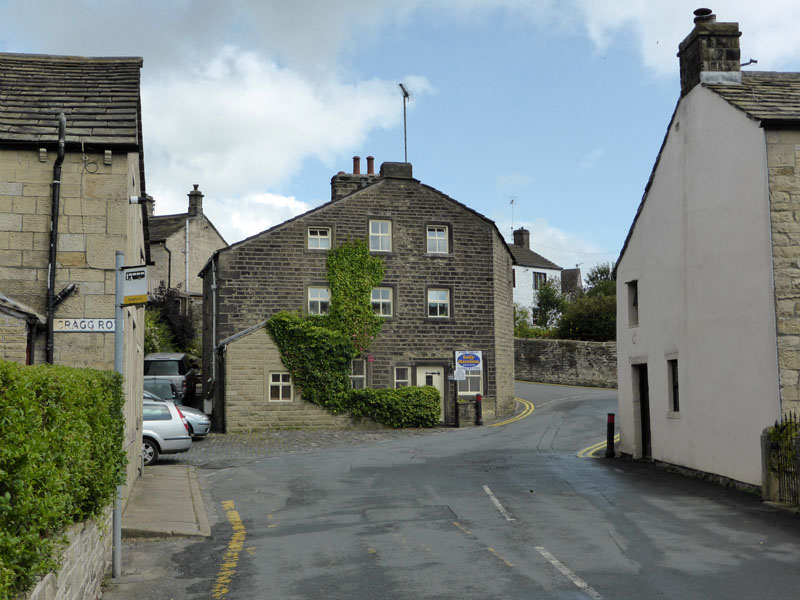
Salterforth
is a small village between Barnoldswick and Kelbrook and is home to the Anchor Inn ...
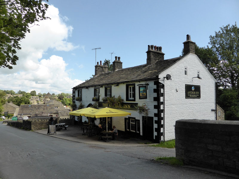
The Anchor Inn
The inn predates the arrival of the canal and was known as The Travellers Rest. The road was raised to cross the "new" canal and the current pub was built on top of the "old" one. Two floors down is the original cellar. It would have been rude to pass without dropping in for refreshments, dogs are welcome.
~~~
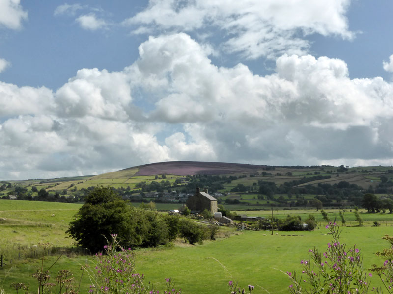
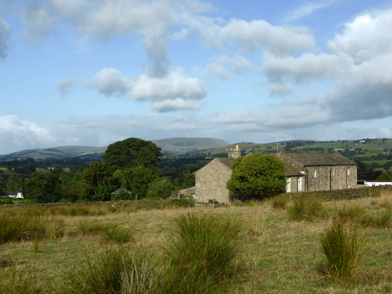
Bashfield Farm & Kelbrook Moor
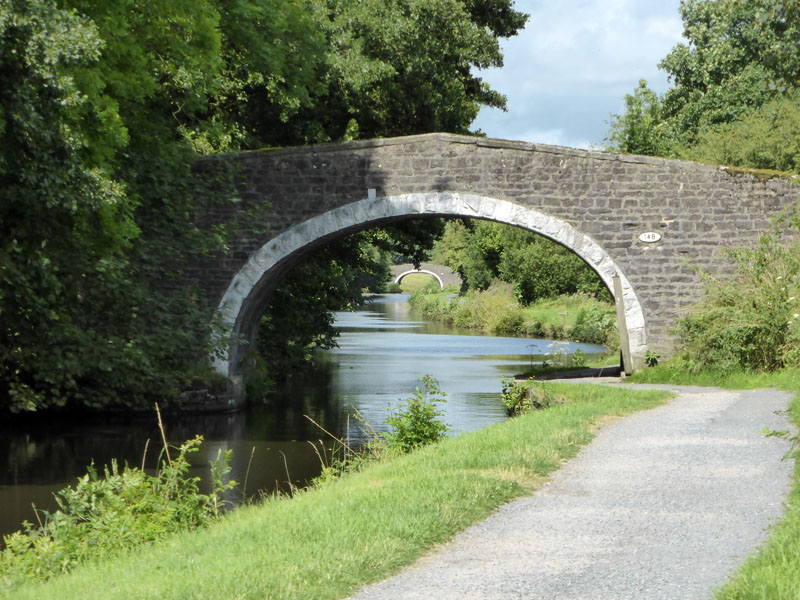
This shows some of the territory we walked over earlier in the day. It's a straightforward towpath walk back to Foulridge along one of the finest stretches of the Leeds / Liverpool Canal.
~~~
~~~
~~~
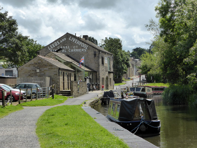
Foulridge Wharf
The wharf preceeds the tunnel in this direction. There is a cafe here, popular with walkers, cyclists and folk who just turn up by car or boat.
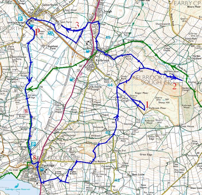
1,2 & 3 Turnaround Locations; P = pub; S = start and finish
Walkers: Me and Molly the Dog
Time taken: 6hrs 30 mins over a distance of about 11 miles, including 45 minutes in the pub.
Route: See above
Weather: Breezy with showers early on.
Refreshments: Excellent food and a warm welcome at The Anchor Inn. Molly was offered gravy bones, despite barking at the ladies.
More Reading: SELRAP The campaign to reopen the railway line from Colne to Skipton. I will eat gravy bones with a dog if this line reopens in my lifetime and I will do so with ketchup and chips! Bring It On!
All photos copyright Richard Ratcliffe 2014 ©
Take me back to the start ....