~A Bit of Both~
2nd February 2013
The first dry and sunny Saturday since 1st December 2012. Goodbye January - rapidly heading to the top of the league of my least favourite months. What will February offer?
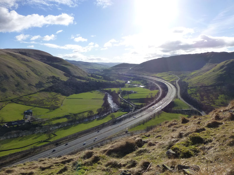
The Lune Gorge
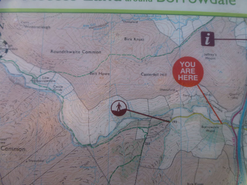
Muppet-me studied the route for a walk on the"Anquet" computer program - in the comfort of a warm living room. And then assumed that the OL19 "Howgill Fells and Upper Eden Valley" map would suffice. However, the western boundary of such is set just 400 yards into the walk. Luckily....
Scroll down for photos and a description of the day....
We Were There
I persuaded son, Andy, to come along. The parking spot for this short walk is is just off the A685, a mile or so south of Tebay, where all main routes are bridged across Borrow Beck. That symbol indicates "Open Access Land" - check the link at the foot of the page to see what this means. How many readers know the difference between a "black" spot height and a "brown" one? The info board had all the map I needed.
 |
 |
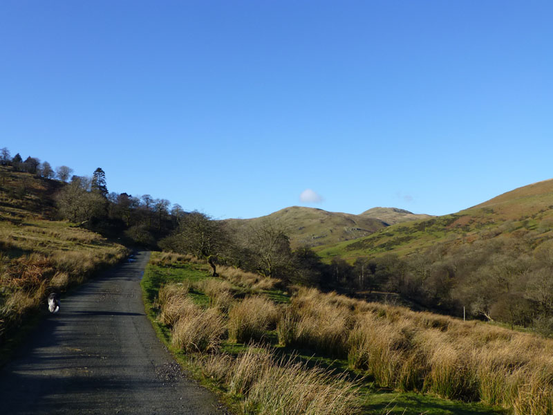
Heading into Borrowdale |
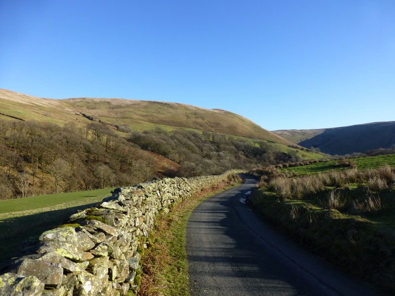
Looking Back to Jeffrey's Mount |
Do not adjust your sets! That unfamiliar shade at the top of the photos is "blue". The battle for "blue" is a tough one and we appear to have it for one day only this time. It's no accident that I chose "blue" as the background colour for this website!
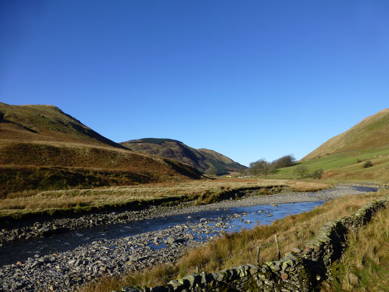
Borrow Beck
So close, but yet so far away! At 10:40hrs we are alone in t'other Borrowdale. What's it like in the more famous Borrowdale just now? Did you find a parking spot? Mabbin Crag hosts the felltop plantation and Ashstead Fell is a little further away.
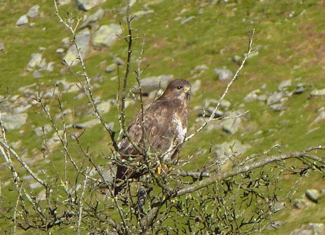
Buzzard
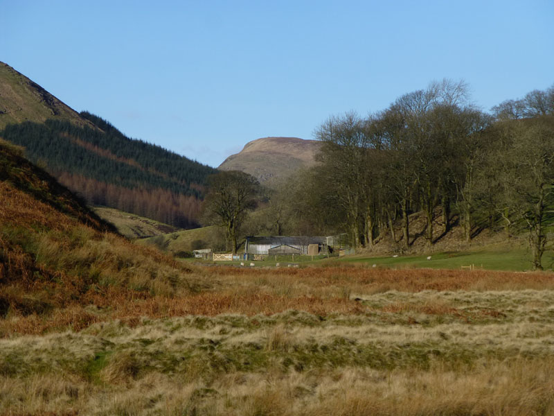
Low Borrowdale Farm
High House Bank looms large beyond the farm. We turn up the hillside after walking through the farmyard and start heading for Belt Howe.
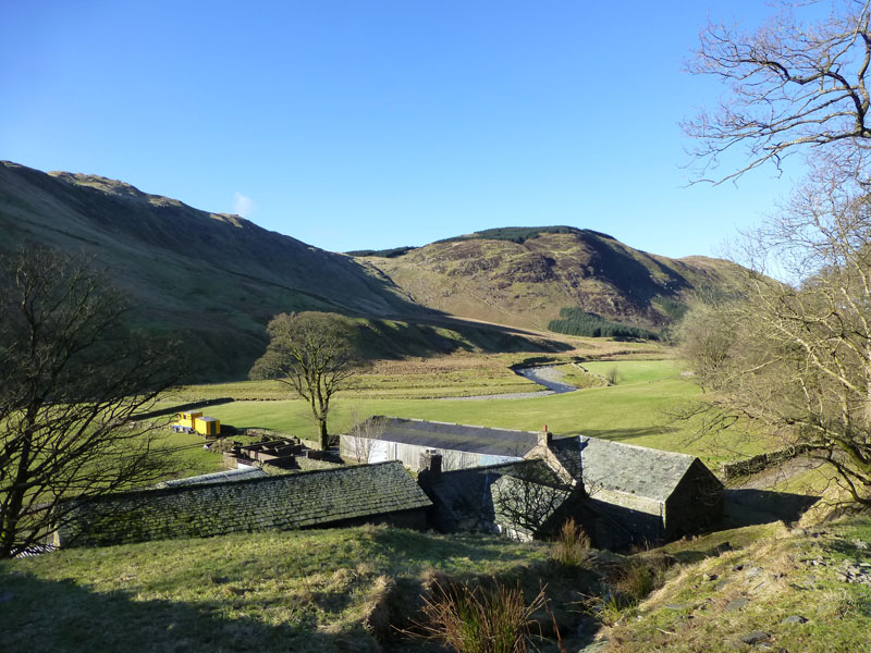
Mappin Crag
Mappin Crag over the farm. Recently, there had been a plan to develop the farm site for holiday homes, but this was rejected. Hopefully the farm can remain a farm and remain unspoilt.
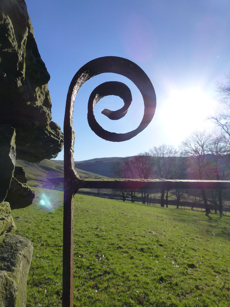
The Detail
 |
 |
Belt Howe |
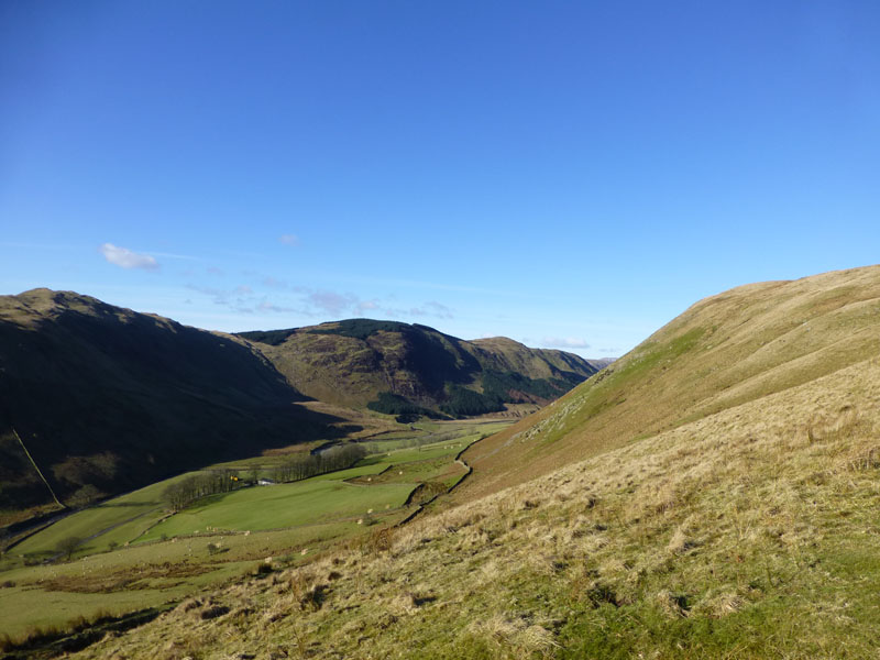
The Borrowdale Valley |
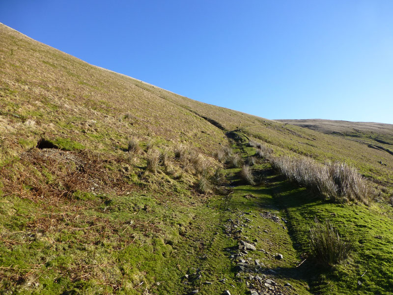
This is a carefully timed operation and there's no time to hang around, the ascent of Belt Howe from Borrowdale may not compare well with the route up to Styhead Tarn in the better-known Borrowdale, but it is warm work.
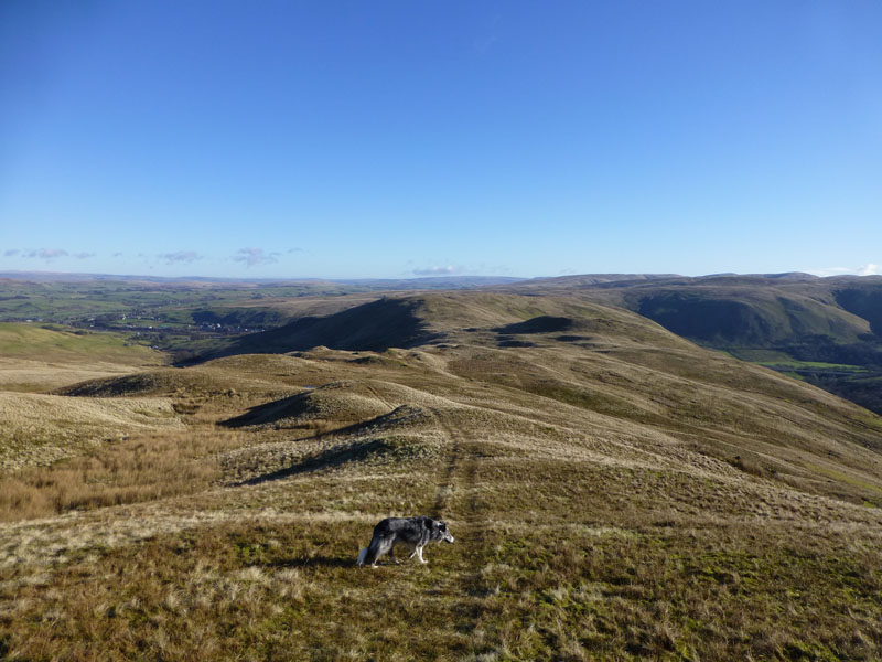
On Belt Howe with Izzy The Dog
Here's a good view of th ridge route to Jeffrey's Mount. ItD joined us for today's walk. Belt Howe shows on the OS 1:25000 as having a height of 408m (c 1338ft). The "brown" spot height is a result of an aerial survey; "black" spot heights have been determined by ground surveys. That's one you can bring up at meal times if conversation is dull.
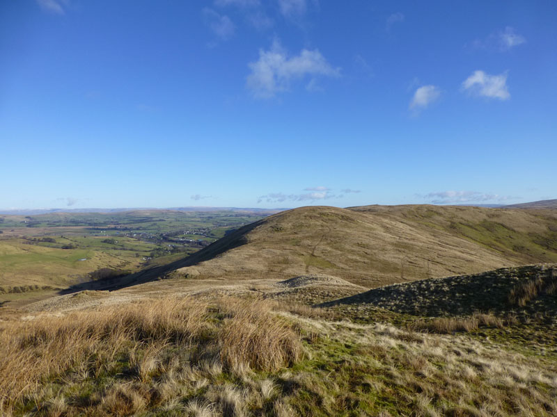
On Casterfell Hill
Casterfell Hill won't be on anyone's lists, but as it's named on the map and has a spot height of 367m (1,204ft), I thought I ought to do the honours. A future list may emerge and I don't want to have to come back just for this.
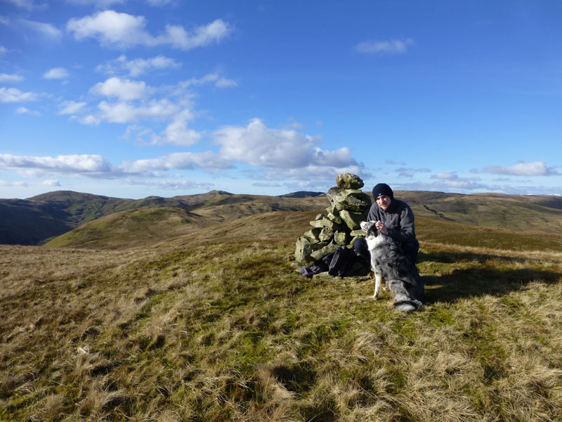
Jeffrey's Mount 1,243ft asl
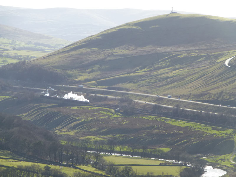
Belt Howe is higher, but this was the main target of the walk. After last week's adventure on the Cumbrian Mountain Express and the stunning view of the train heading to Tebay, I thought about a wander up here to see what was on offer. (Also thanks to Bob for the suggestion). One thing's for certain - I can't expect a good photo opportunity, due to the low sun.
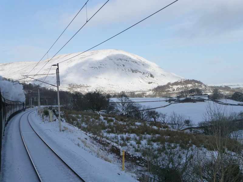
Jeffrey's Mount (26th Jan '13)
Who's nicked all the snow? Photographers are in position.
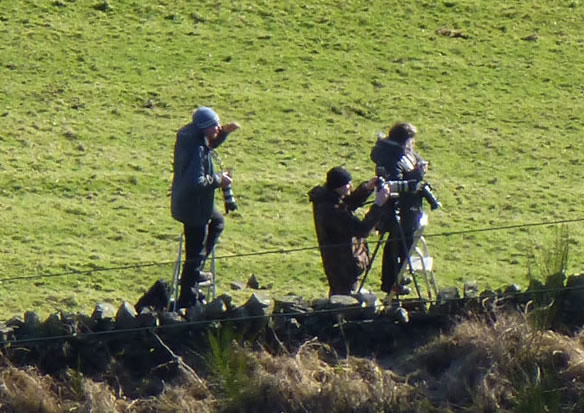
Note the appartus, stepladders and tripods. They will not have the problem of the low sun, and even if they did, they would probably have all the right filters to use to their advantage.
 |
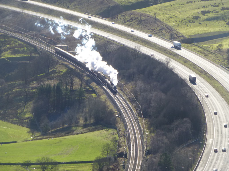 |
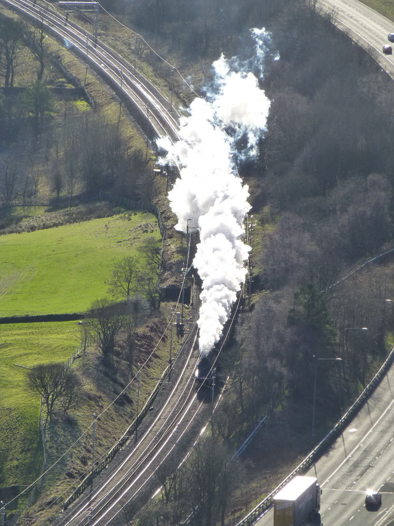
Under Grayrigg Pike |
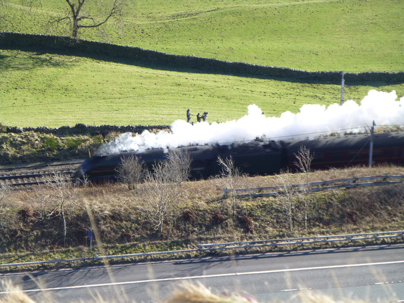
A4 "Union of South Africa" No. 60009 |
~~~~~
 |
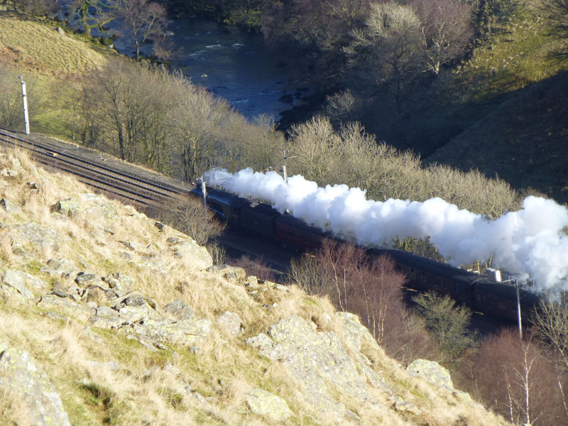 |
~~~~~
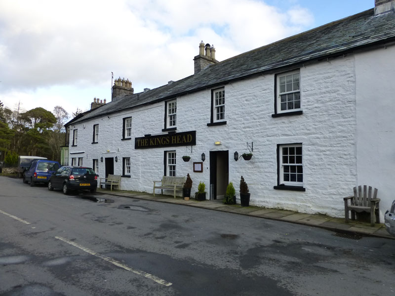
The King's Head in Ravenstonedale
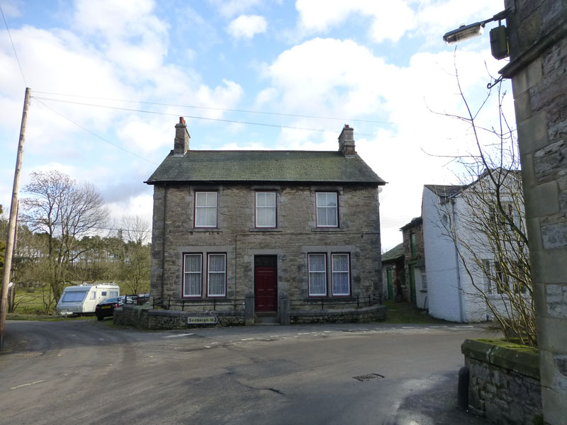
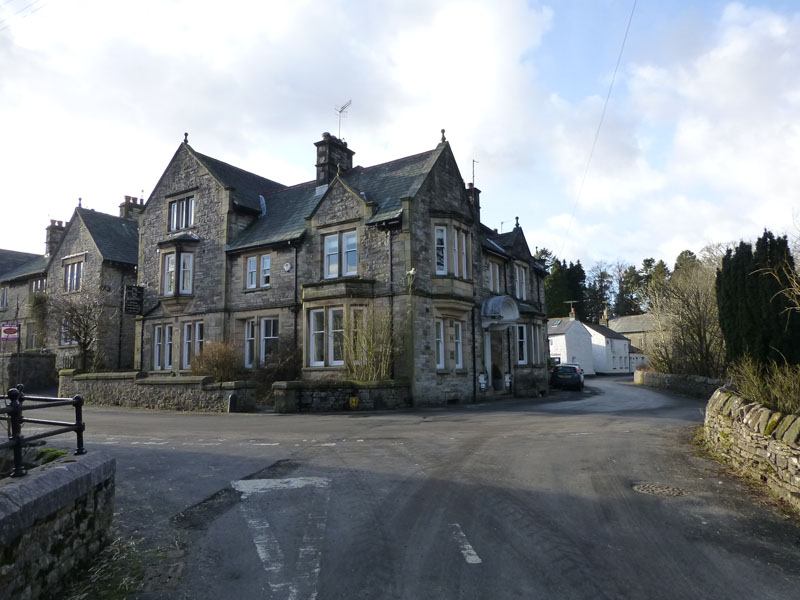
Ravenstonedale is a little village, nestling under the northern reaches of the Howgill Fells. There are two pubs/hotels in the village and we chose to try The King's Head - dogs are welcommed. The A685 from Tebay to Newbiggin-on-Lune follows exactly the route of the former railway line "The Stainmore Line" which used to run from Durham to the junction at Tebay.
 |
 |
Perfect Symmetry |
The Black Swan |
 |
 |
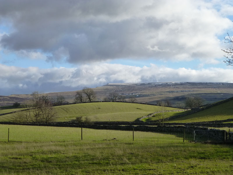
Wild Boar Fell |
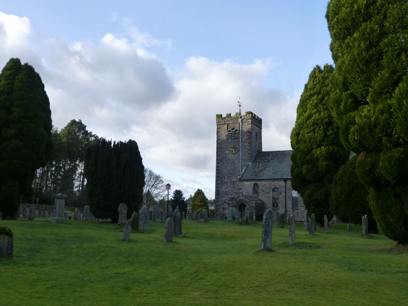
St.Oswald's Church |
Views in Ravenstonedale
I decided that we have had the time to go and watch the southbound train and chose a remote spot in Mallerstang.
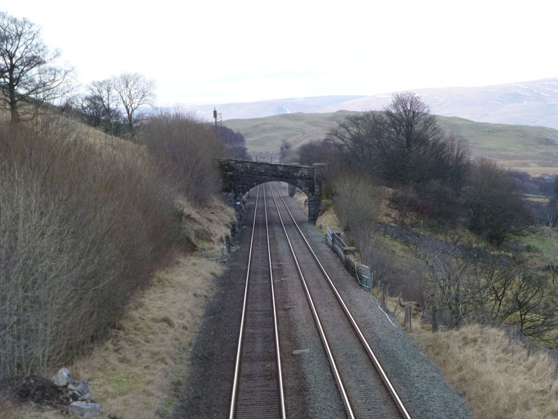
View North From Bridge 149
In my quest to find an unfrequented vantage point, I chose Bridge 149. It's a little unclear as to whether there is public access to the bridge, but it doesn't say anything to the contrary, so we take up position ready for the train, due through Kirkby Stephen at !5:53hrs.
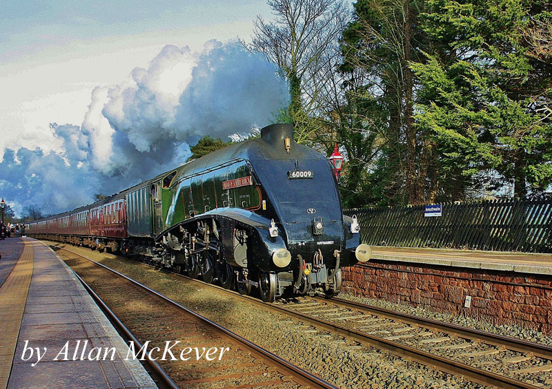
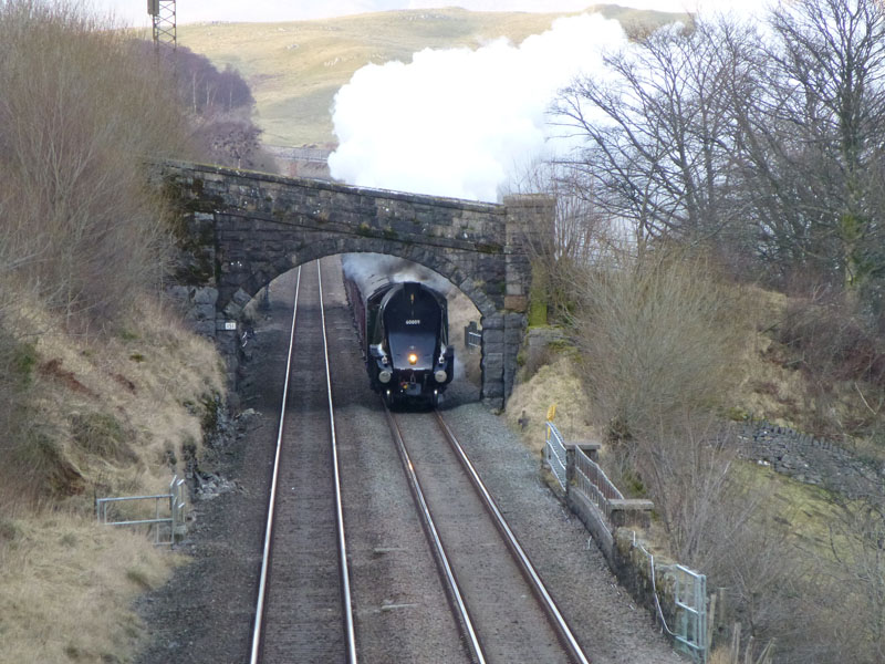
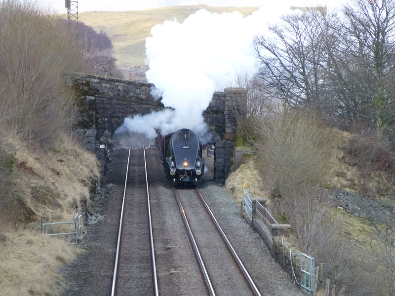
No.60009 - Armathwaite Station
Allan McKever took this photo of the train racing through Armathwaite Station. Here's three photos - time spacing of 0.5 second as the train approaches our position.
 |
 |
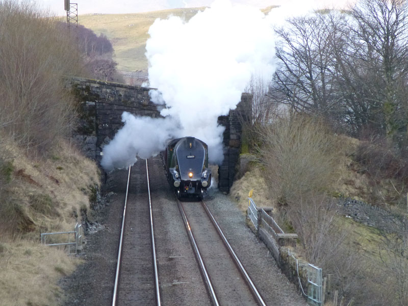 |
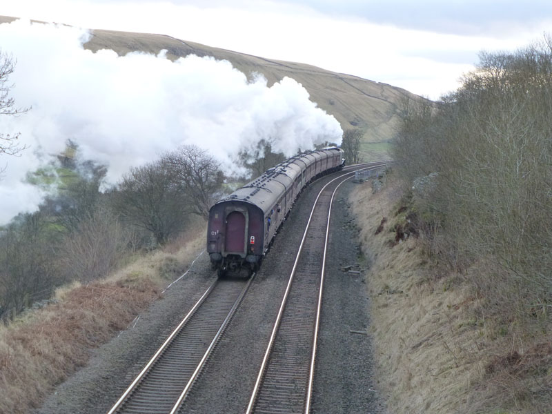
LNER A4 Class, 4-6-2 Pacific "Union of South Africa"
Thirty-five of these Gresley-designed, streamlined locomotoves were built at Doncaster from 1935-38. Six have survived into preservation and whilst it might not be your bag, all six will be on show together at The National Railway Museum, York in July (2013).
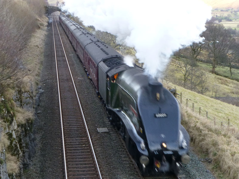
Hold on to your hats!
With a fearesome roar and a great display of steam power, the engine powers the train forward to Ais Gill summit and the hundreds of cameras waiting there for her.
Cheerio!
YouTube video by Stephen Thompson
YouTube video by Phil Bentley and there are many more videos on offer if you look around.
Richard's Refreshment Review: The King's Head in Ravensthorpe is very welcomming and they accept well-behaved dogs. Maybe it's me, but...both Andy and I wanted a "pub lunch". Chicken and chips? Burger and chips? All Day Breakfast? The menu was deviod of burgers, sausages, gammon, pies etc. This well appointed "pub" offers good choices, but not quite what we were after. We chose from their offerings, spent more than I wanted to and thoroughly enjoyed the food. I think it's me!
Most photos copyright Richard Ratcliffe 2013 ©
Take me back to the start ....