
~Stoodley Pike~
16th August 2013
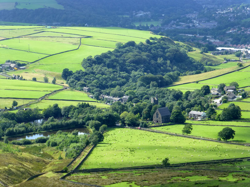
Lumbutts from Stoodley Pike
Scroll down for photos and a description of the walk....
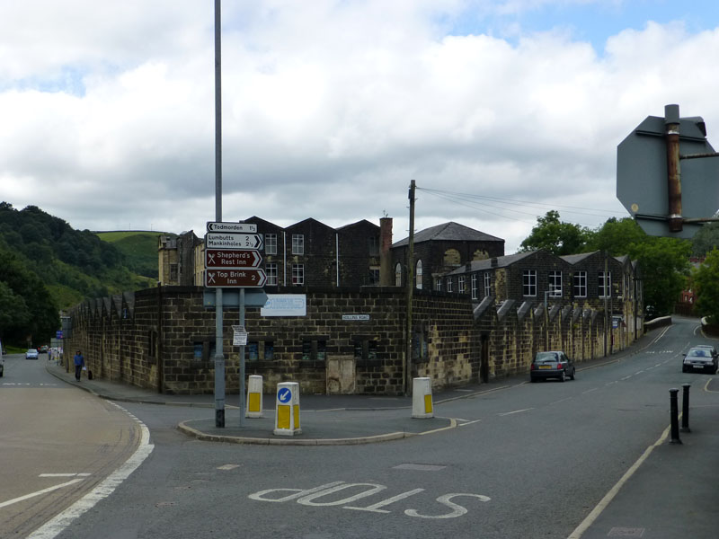
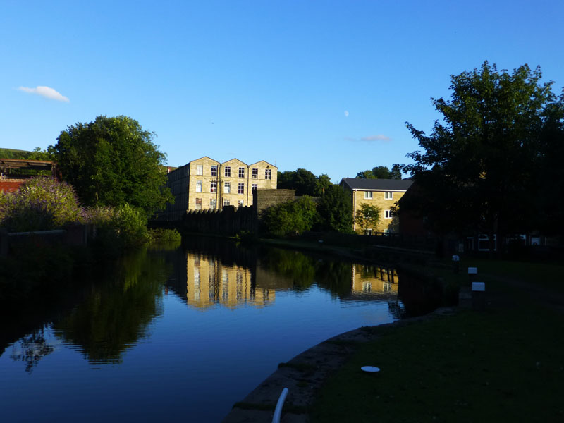
Hollins Mill, Walsden
This walk started at 14:30hrs from the small township of Walsden, just south of Todmorden. After passing Hollins Mill, I crossed the Rochdale Canal and headed up the lane to North Hollingworth Farm.
Ramsden Wood
Looking back over part of Walsden to Ramsden Wood and Ramsden Hill (left).
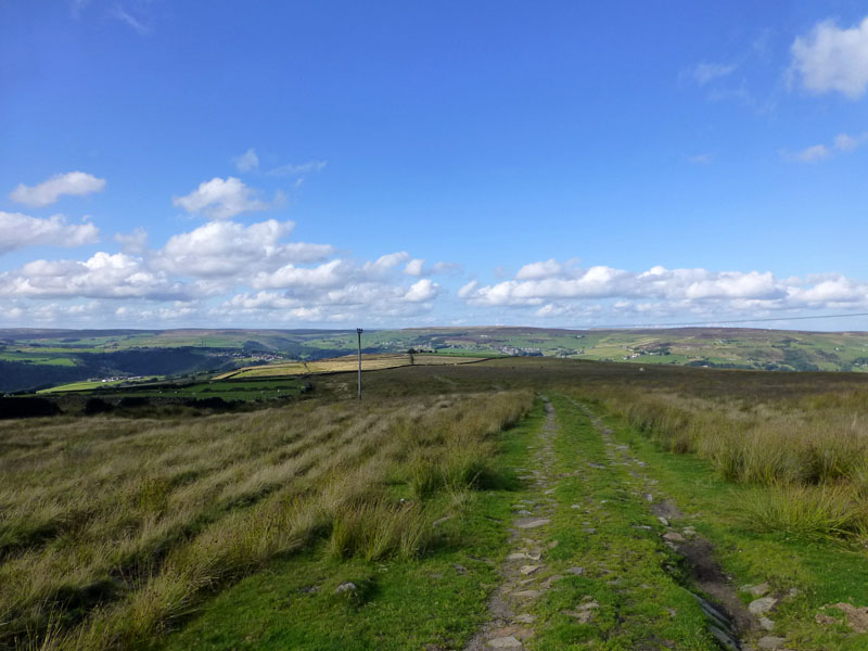
Pennine Bridleway
Turning left (north) at the farm, I joined the Pennine Bridleway - an old and very well worn, flagged pathway up on to the moors.
 |
 |
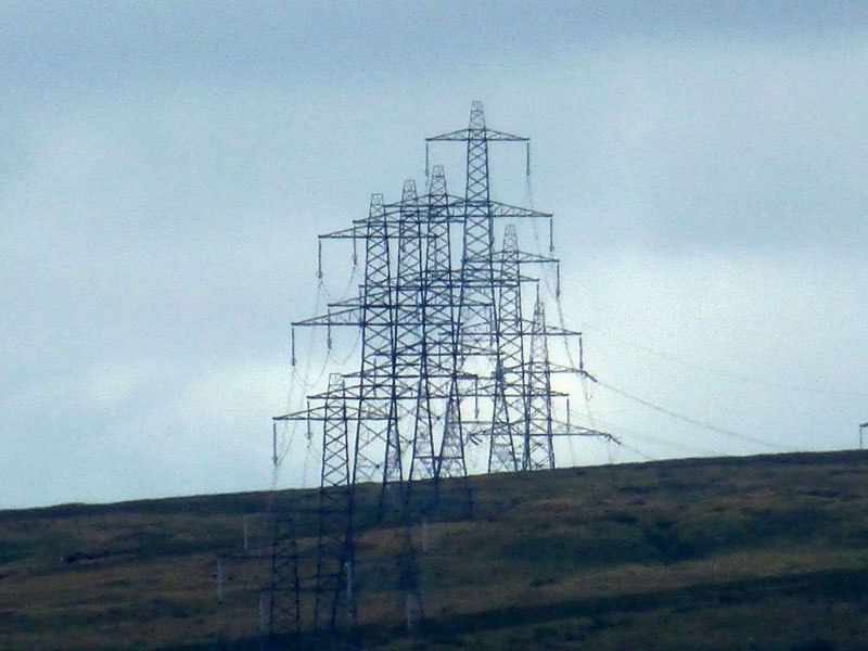
A March of Plyons |
Todmorden |
I'm not sure if there is a collective noun for the current carriers, but they appear to be marching over the hill from East Lancashire. The pool in the foreground (right photo) has no name on the map.
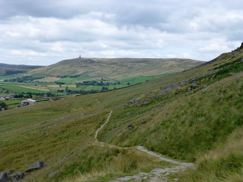
Stoodley Pike from Rake End
First sight of my primary target, taken from Rake End. At this point, I took a path up the hill in an easterly direction aiming for the Basin Stone and Gaddings Dam.
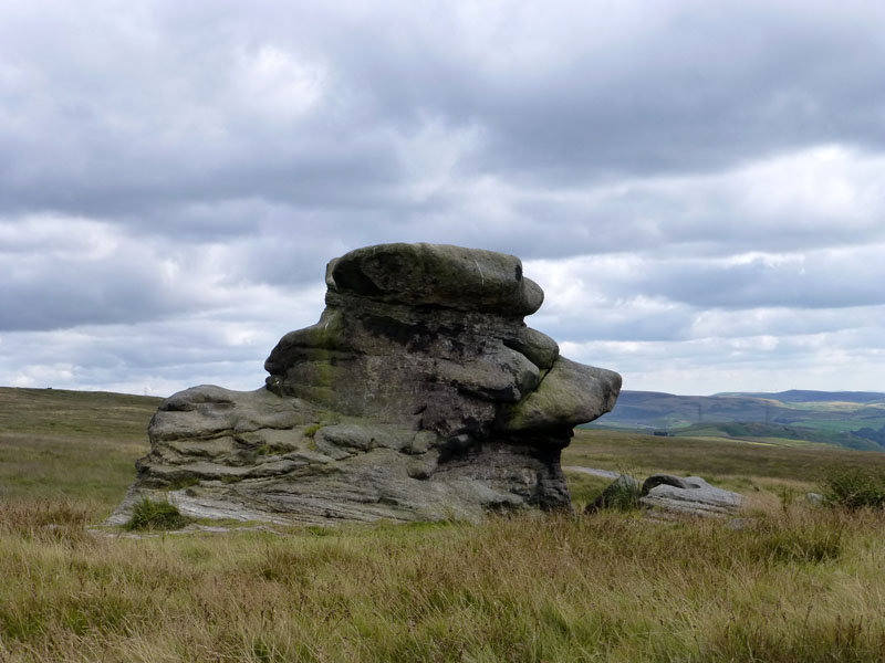
The Basin Stone
and the reason for its title ....
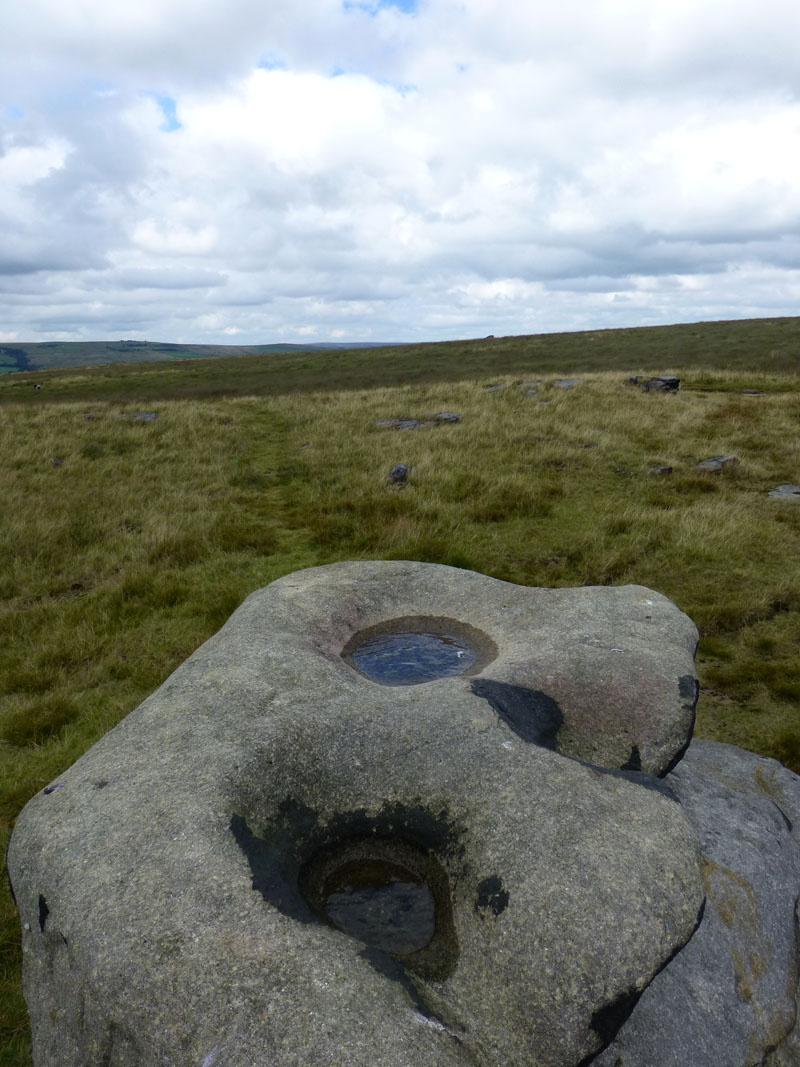
Sink Holes
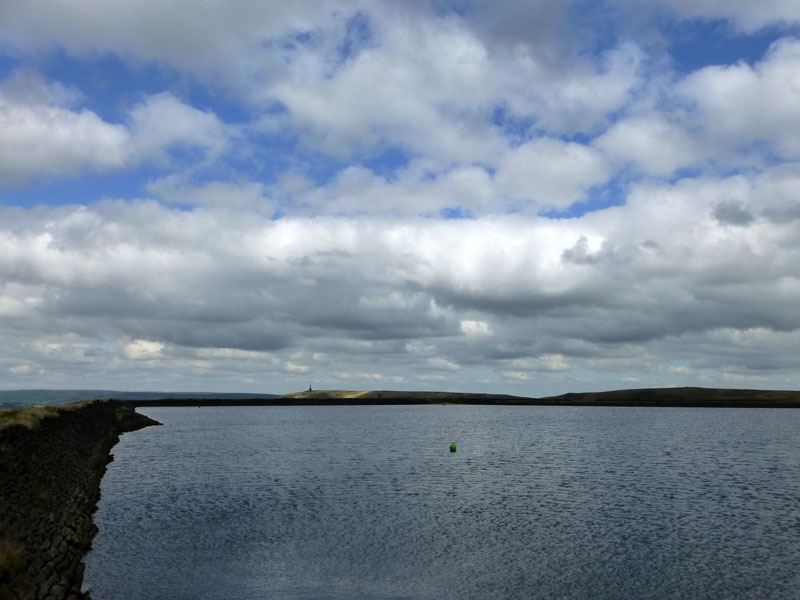
Gaddings Dam
In a corner of the reservoir is a little sandy beach, claimed by some to be Britain's Highest Beach - see news article at the foot of this page. I took a south-easterly path to the right-angled bend in Warland Drain.
 |
 |
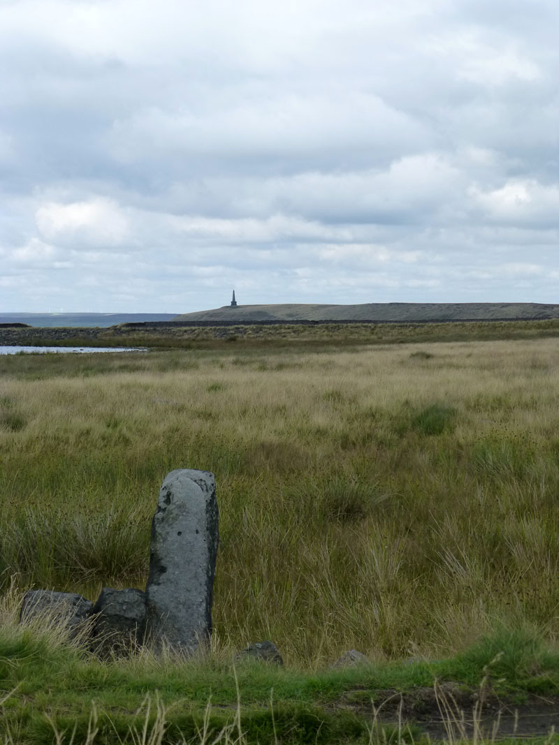
Boundary Stone |
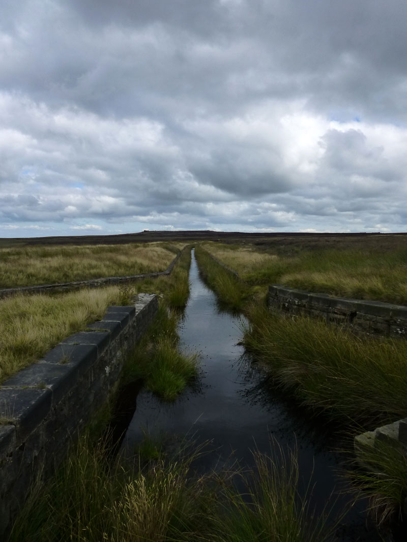
Warland Drain |
The drain supplies water to Warland Reservoir; my route and that of the Pennine Way follows the drain for three quarters of a mile and then heads north, directly for Stoodley Pike.
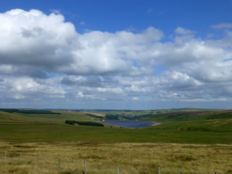
Withers Clough Reservoir
The view eastwards from the flank of Coldwell Hill shows Withers Clough Reservoir.
Withers Gate
The dip in the landscape is shown as Withers Gate. There are two paths shown, one along the fence and one to the left which is more undulating. I chose the less direct route as it appeared more interesting and promised better views.
Cyril Webster's Seat
The plaque dedicates the seat to the late Cyril Webster "still walking the hills" - provided by his children.
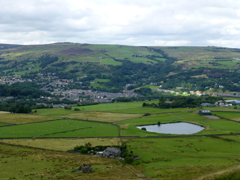
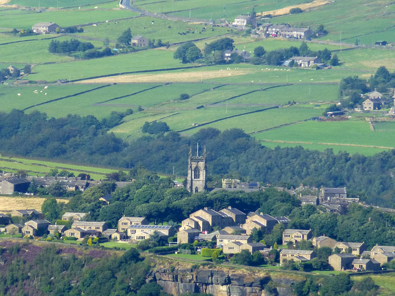
Lumbutts
The village of Lumbutts is worth a visit. There is a pub there called "Top Brink" and a its all very olde worlde.
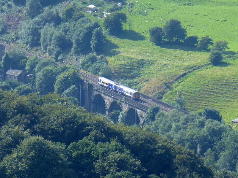
Railway Viaduct
The preceeding two photos were taken from Stoodley Pike. I know exactly where the viaduct is - adjacent to the A646 and opposite Haugh Road, but I don't know what it's called! More research required.
Heptonstall
Heptonstall from Stoodley Pike, you can just see the old church tower behind the taller, newer one.
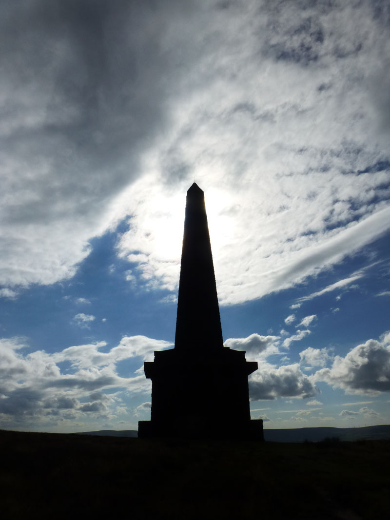
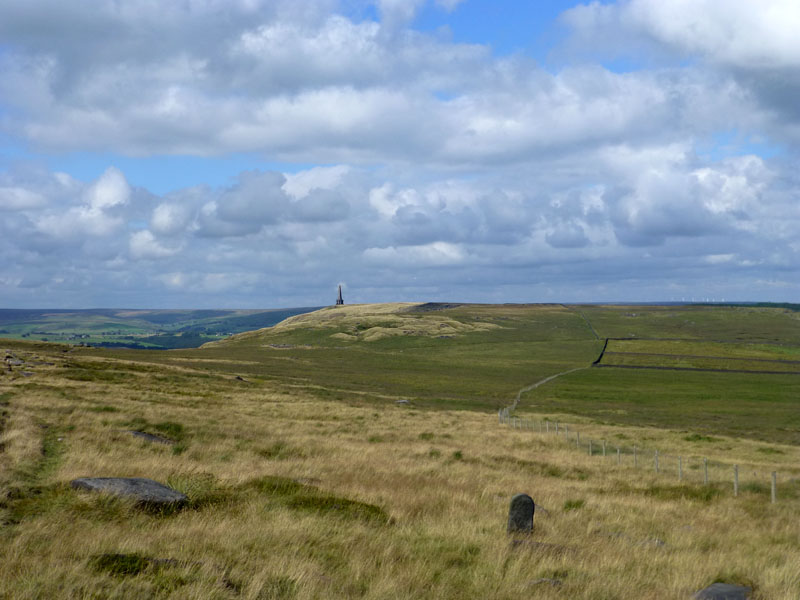
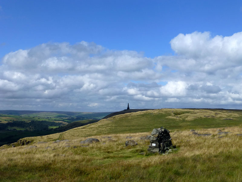
Stoodley Pike
This monument was designed in 1854 by local architect James Green, and completed in 1856 at the end of the Crimean War. An earlier tower was completed after the Battle of Waterloo (1815), but was damaged by lightning. It is 121ft high and 39 steps allow visitors to the balcony at 40ft above ground level.
 |
 |
To Dick's Lane |
Dick's Lane |
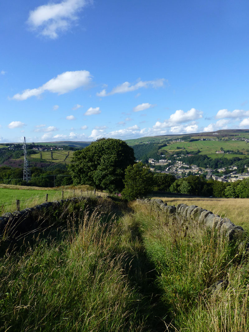
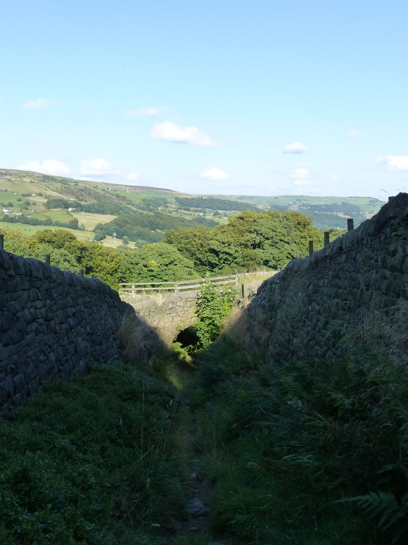
The track east from Stoodley Pike aims for the wooded area, marked on the map as Sunderland Pasture. Dick's Lane runs alongside and between walls in a north-easterly direction.
Erringden Moor
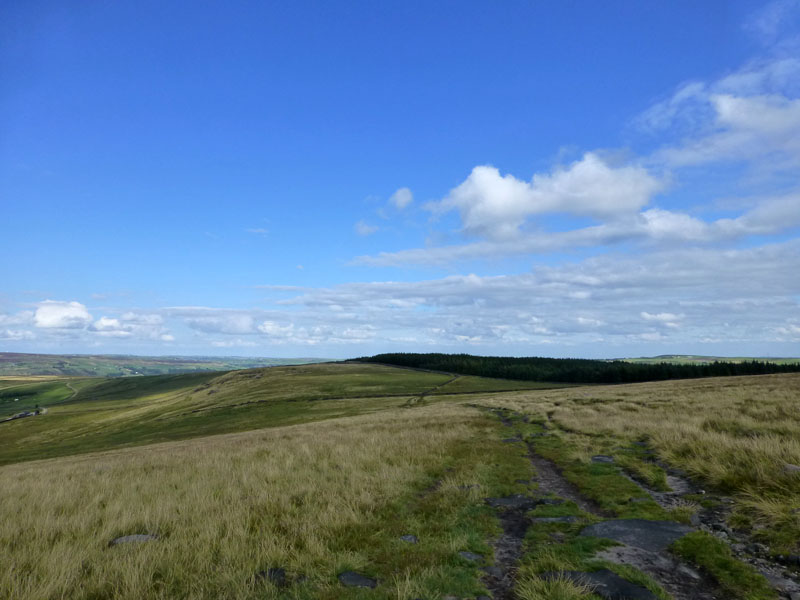
Plan A had been to follow the boundary walls on Erringden Moor to Buckley Stone and Great Jumps (you need to look at OL21). But a scattered herd of fidgety cows blocked the way and so I found another way, which led to Kilnshaw Farm.
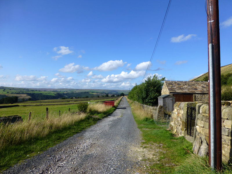
Kilnshaw Lane
This long and quiet lane heads past Erringden Grange and ultimately leads to Hebden Bridge. That's also my destination, but I'll leave the vehicular route and take footpaths down to HB.
Kilnshaw Lane & Stoodley Pike
~~~~~
~~~~~
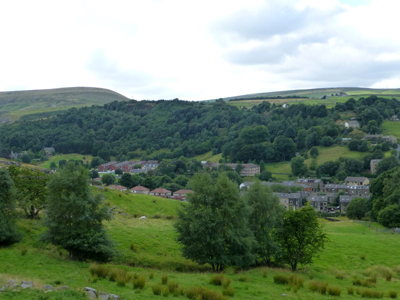
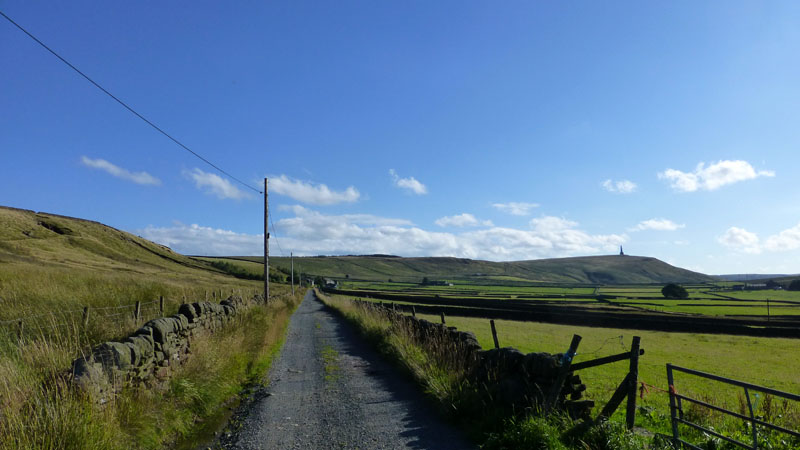
The Route to Hebden Bridge
The walk down to Hebden Bridge was varied and interesting and offered great views of the town and surrounding moors.
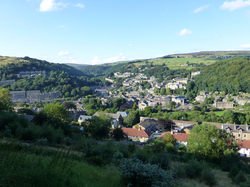
Hebden Bridge
The wooded vale in the centre and leading away is Hebden Dale and leads to Hardcastle Crags.
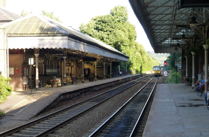
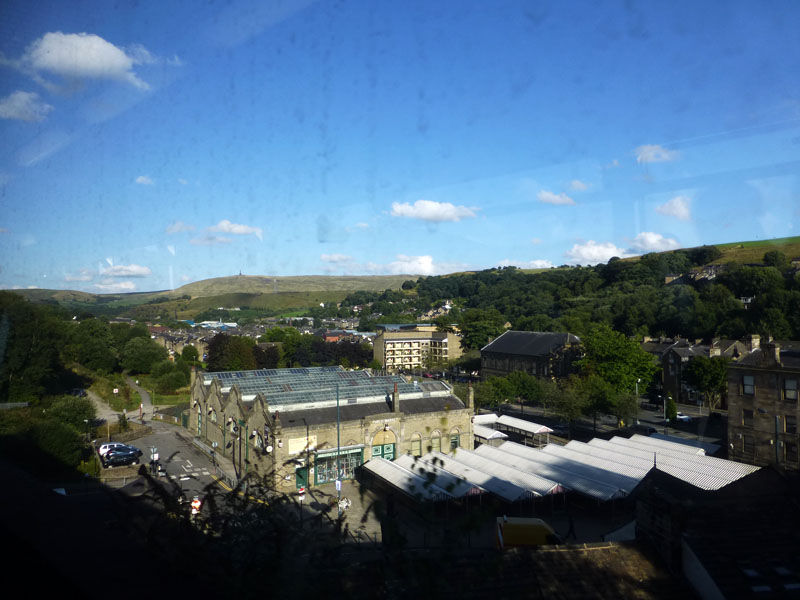
Hebden Bridge Railway Station
Just in time for the 18:10 service to Manchester Victoria which will stop at Walsden (not all trains stop there), hopefully.
 |
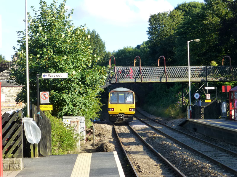 |
Stoodley Pike from the train |
Walsden Railway Station |
 |
 |
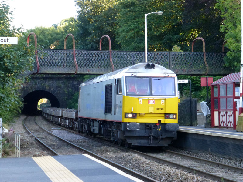
Freight Train |
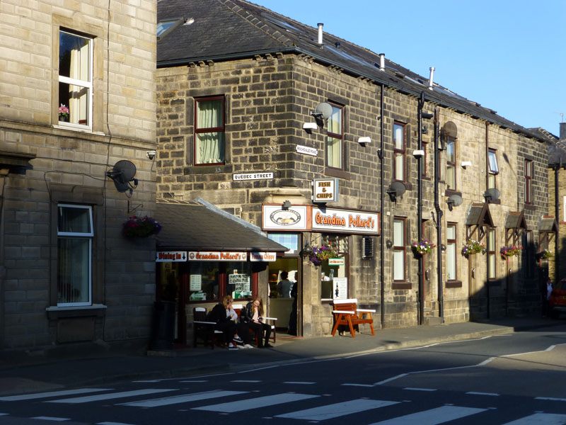
Grandma Pollard's Chippy |
Walsden
The Rochdale Canal
The journey from Hebden Bridge to Walsden cost £1.90. I bought Fish & Chips from the award-winning Grandma Pollard's in Walsden and ate such on the platform watching the trains, well two of them.
Walkers: Just Me
Route: As described!
Time taken: 4 hours 40 minutes over a distance of about 8 miles.
Greetings: A few cheery walkers along the way.
Weather: Generally cloudy, improving to sunny periods and fairly warm throughout.
This walk was my usual Saturday walk, brought forward by one day due to a forecast of immense miserableness for the following day.
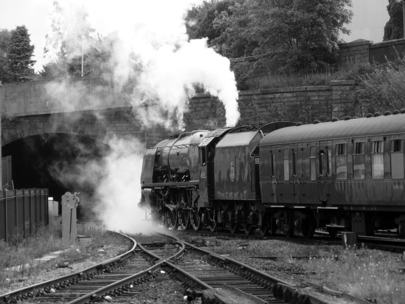
Steam Train at Blackburn on Saturday 17th August 2013
No.46233 Duchess of Sutherland
Sunbathing on the Pennine Moors
All photos copyright Richard Ratcliffe 2013 ©
Take me back to the start ....