
~Boulsworth Hill~
3rd August 2013
The Summit ~~~ Lad Law
Scroll down for photos and a description of the walk....
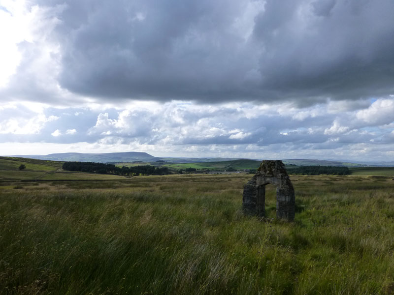
The Stone Arch
From a start point near the head of the Thursden Valley, the walk started at 17:35hrs and the first point of interest is the stone arch. Stone inscriptions on the other side ae difficult to read, but I thought I could make out "1672".
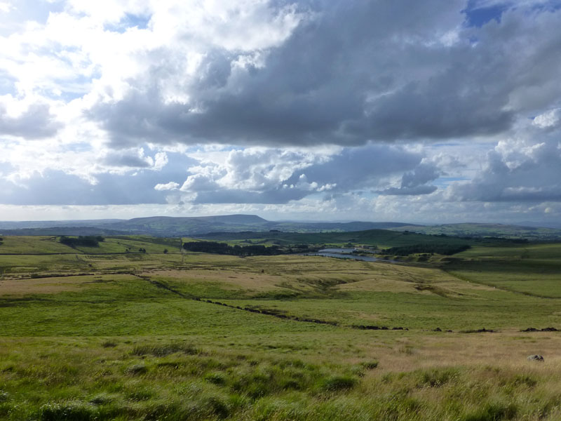
Red Spar Moor
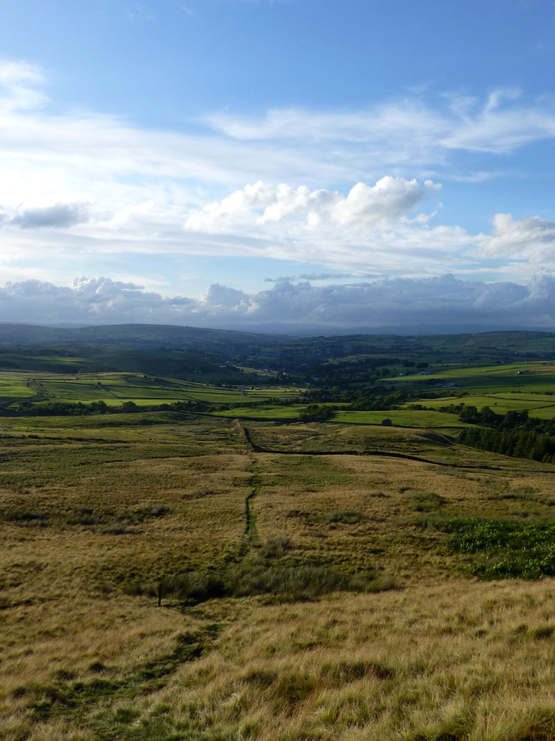
Taking advantage of the "Open Access" now available on these moors, I head onto Red Spar Moor. Pendle Hill and the Coldwell Reservoirs are in view. I'm not carrying waterproofs ....
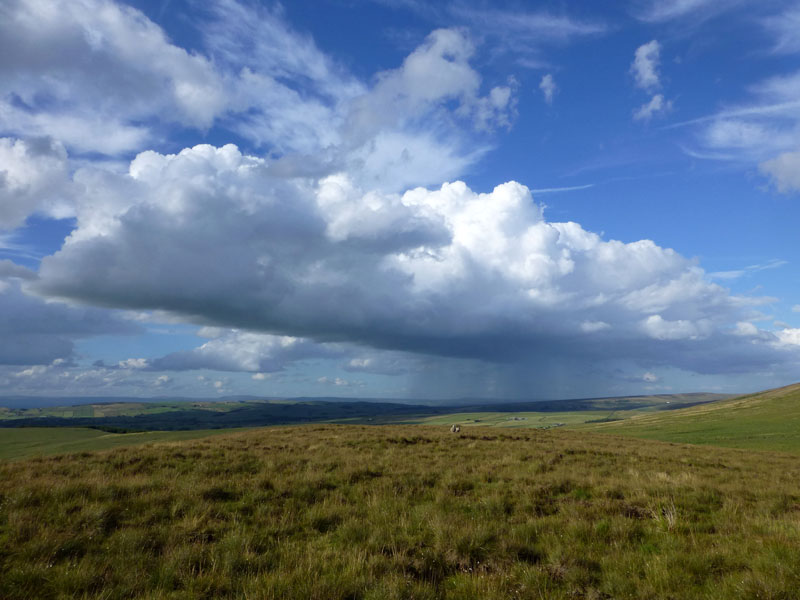
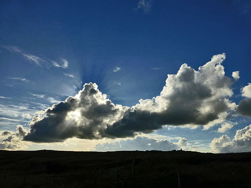
Rain Shower
A shower of rain is nor far away, but luckily it is moving northwards away from me.
 |
 |
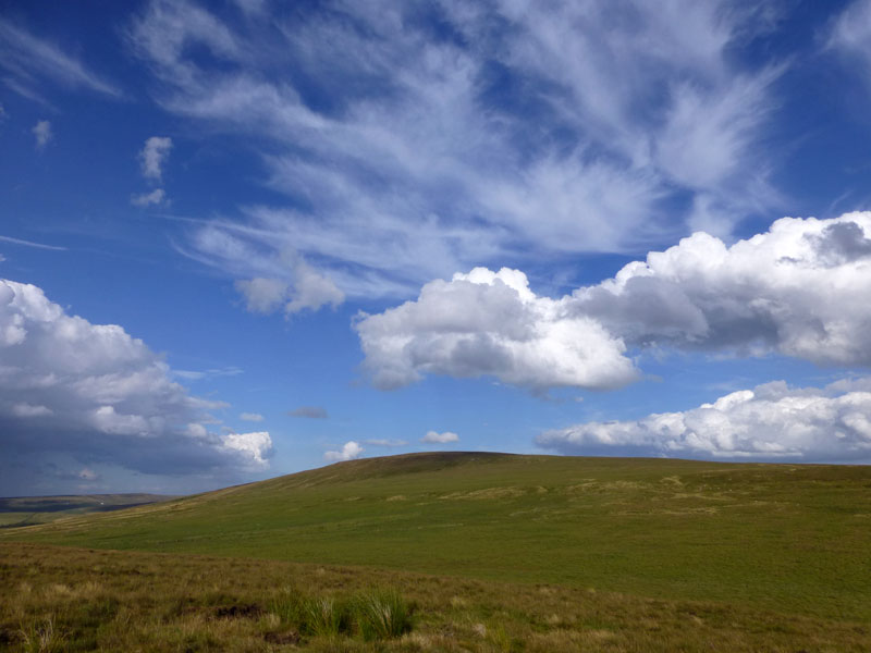
Boulsworth Hill |
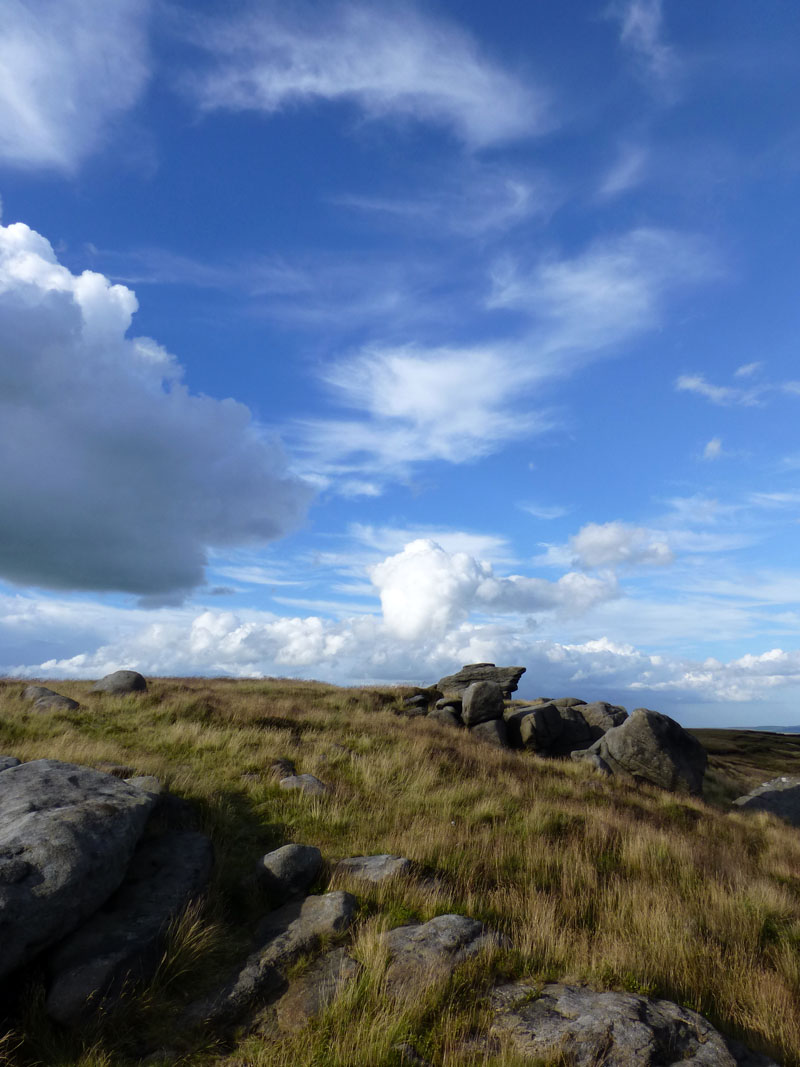
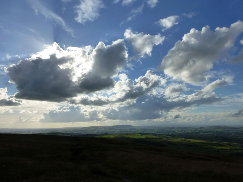
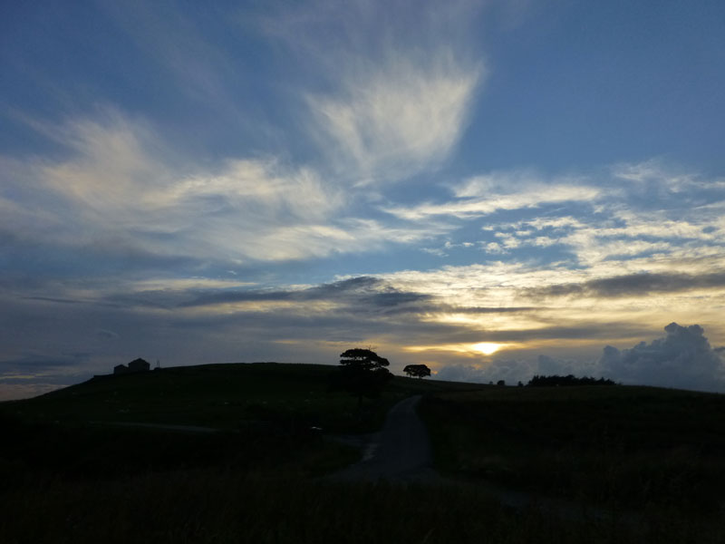
Sky Patterns |
There is no direct route to Boulsworth Hill from here, it's all hummocks and bogs. I follow the wall in a south-easterly direction. Much of the interest today is in the sky.
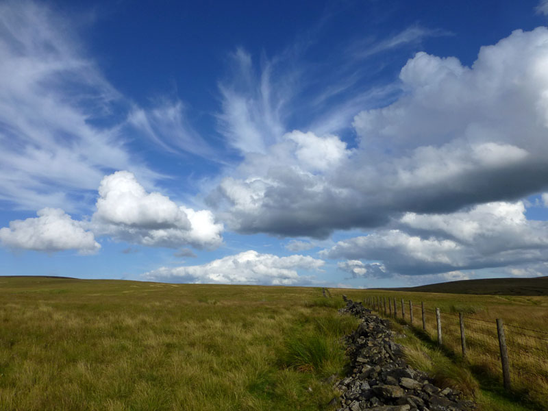
Route up Boulsworth Hill
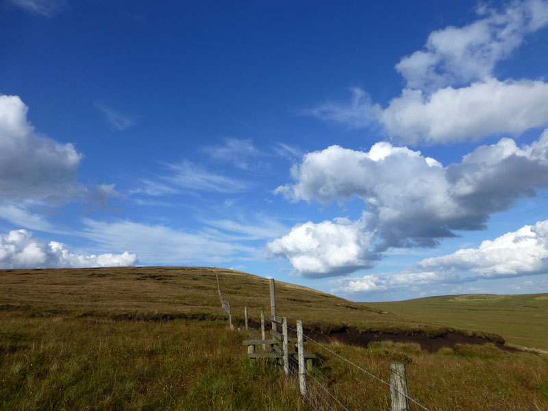
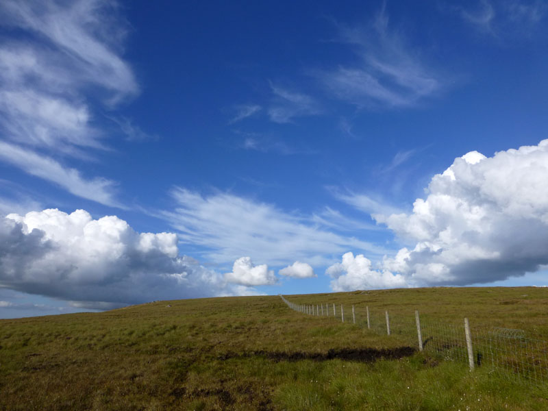
Nearly There
Dove Stones and Hey Slacks Clough
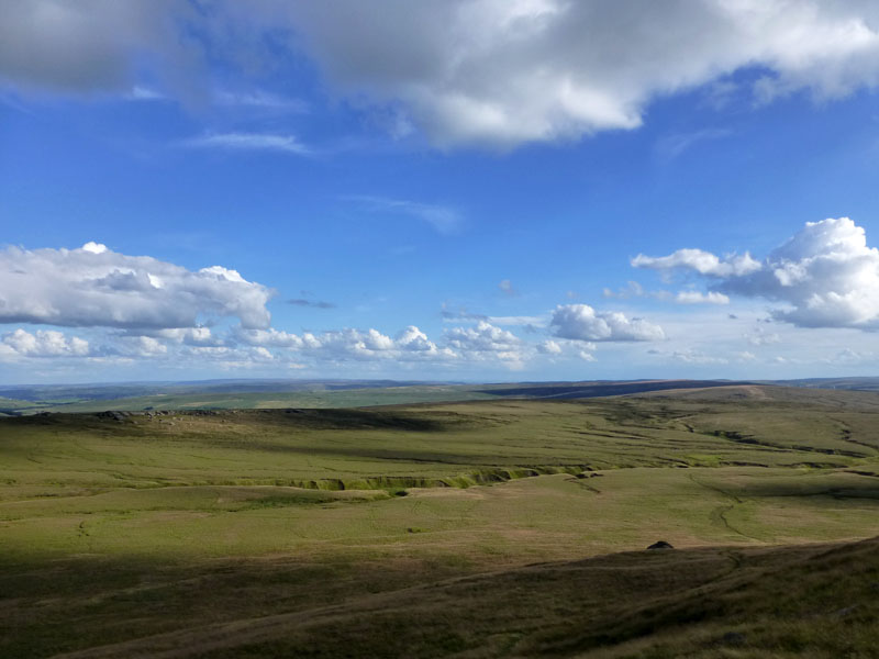
The views from up here today are huge, this one to south-east shows a typical Pennine landscape.
 |
 |
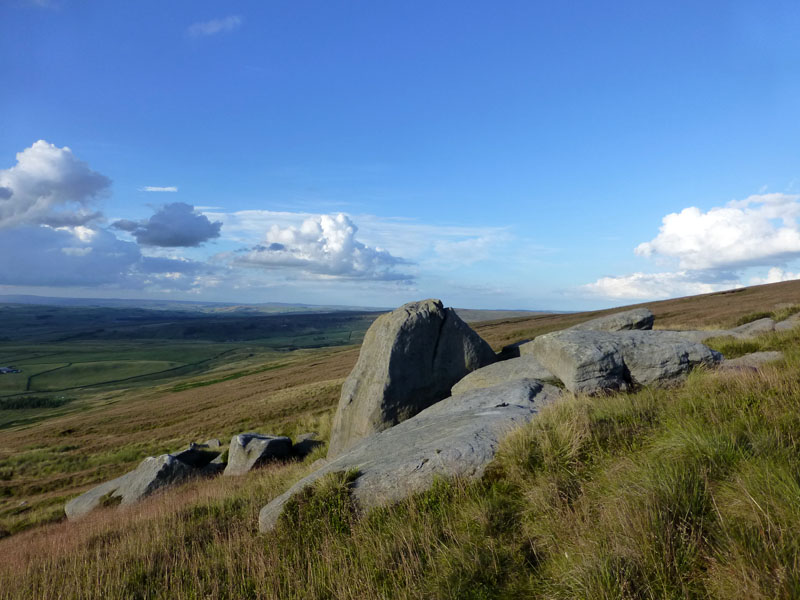
Millstone Outcrops |
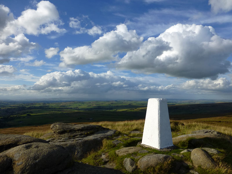
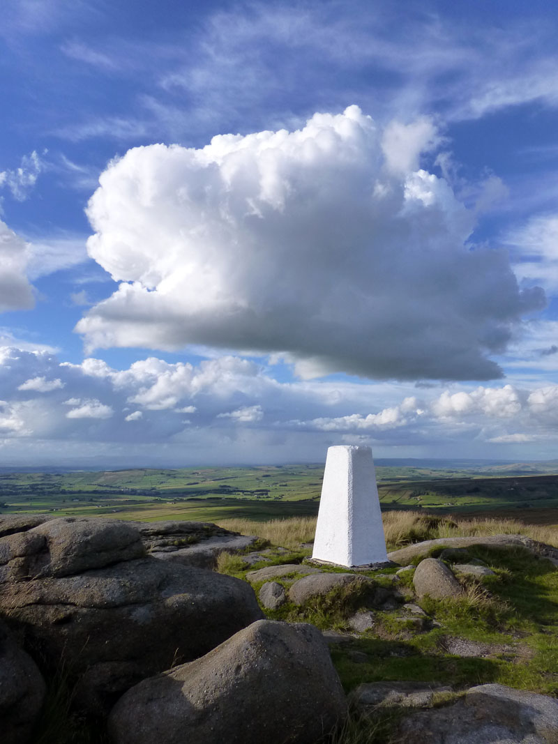
Summit of Boulsworth Hill |
For the whole of this walk, I saw nobody else. If you are looking for a little solitude, this could be the place.
Boulsworth Hill Summit 1696ft asl
The view to the north-west with Trawden in the valley (left).
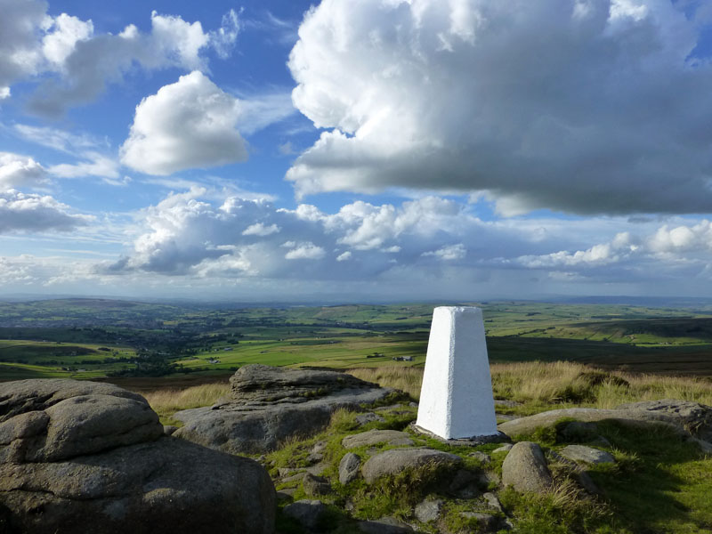
Pendle from Boulsworth
This is the view to the west.
Clouds over Boulsworth
The sky drama and cloudscapes made it all worthwhile on this, my fourth ascent of Boulsworth Hill.
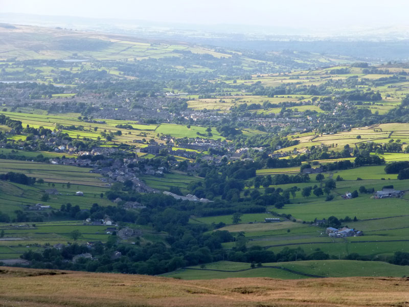
Trawden and Colne
The weaving length of Trawden, Winewall and Cotton Tree leads to Colne, this is the very east of Lancashire.
Abbot Stone
On the descent route, the Abbot Stone and neighbours are prominent.
Descent Route
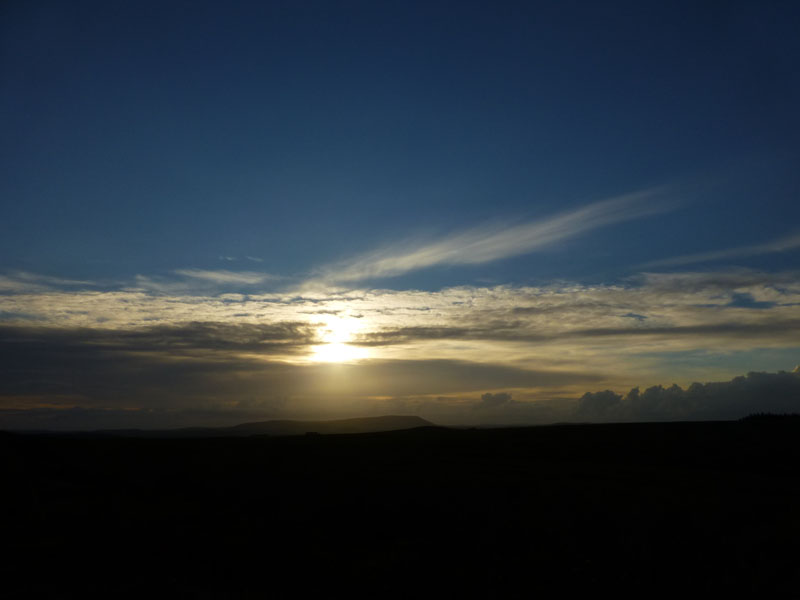
Sunset - Pendle Hill
I had intended to finish at "Sunset Point" between the Coldwell Reservoirs, but the sky in the west was not too promising.

For Manchester, perhaps? Or maybe haivng left Leeds/Bradford for somewhere more exotic?
The End
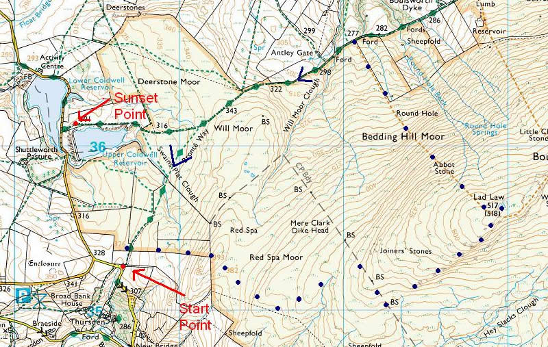
Route Map
"Sunset Point" is where I have been standing for the Coldwell / Pendle Sunset photos. The walk start point is shown and the blue dots show roughly the route taken.
Walkers: Just Me
Route: Above
Time taken: 2 hours 30 minutes over a distance of about 5 miles.
Greetings: None
Weather: Sunny periods and distant showers, warm and breezy.
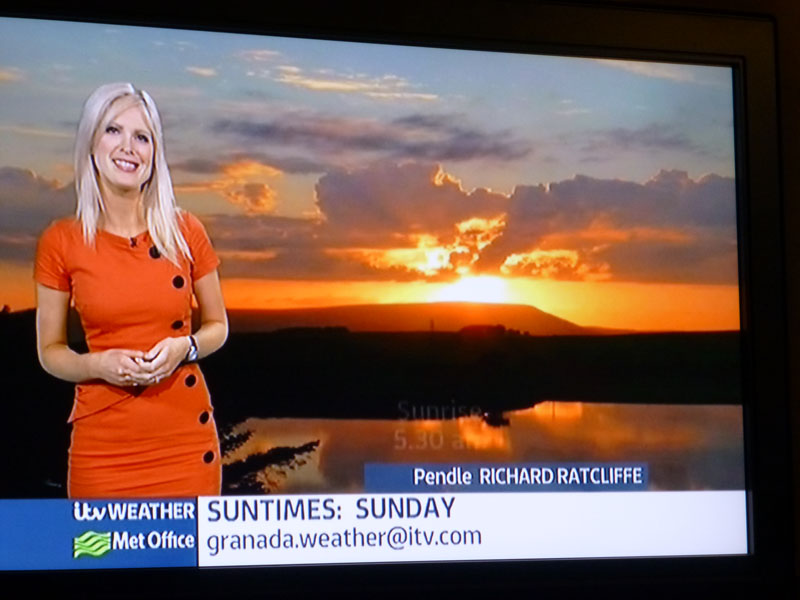
Granada Weather, presented on 3rd August and they even spelt my name correctly!
All photos copyright Richard Ratcliffe 2013 ©
Take me back to the start ....