
~The Langdale Pikes~
27th October 2012
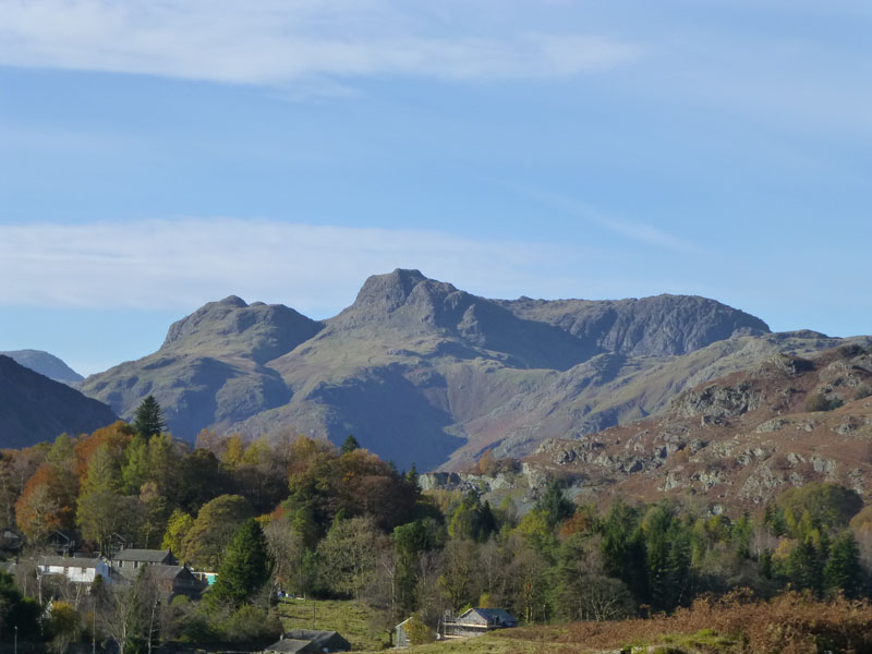
The Langdale Pikes
Scroll down for photos and a description of the walk....
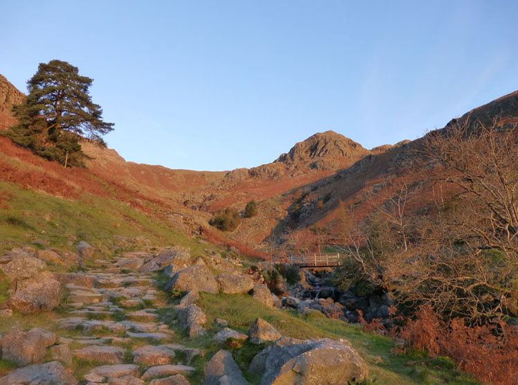
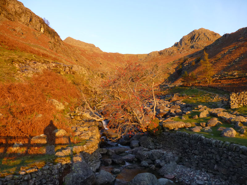
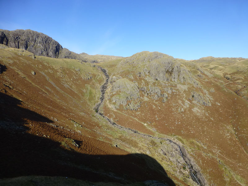
Stickle Ghyll
Stickle Ghyll (Mill Gill in Wainwright Guides) is crossed by Coat-Off Bridge. I'm sure I can't be the only one who starts the walk with a coat on, at this time of year, and then takes it off at the bridge? Tarn Crag dominates the skyline. Start time of 08:10hrs from the National Trust car park.
On The Bridge
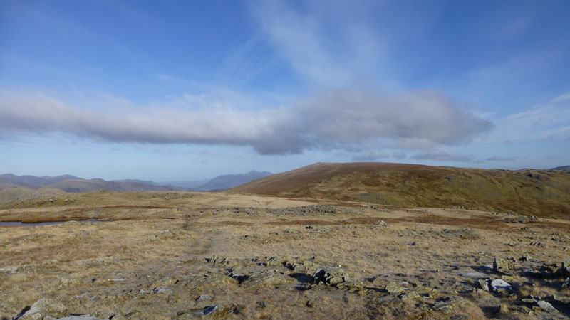
There was no plan for today's walk, other than to reach the foot of Pavey Ark and climb such by one means or another. So, for a change I climbed the fellside on the right and aimed for Tarn Crag.
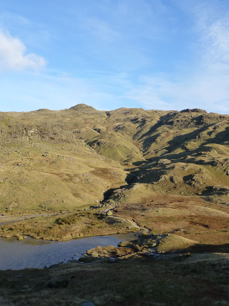
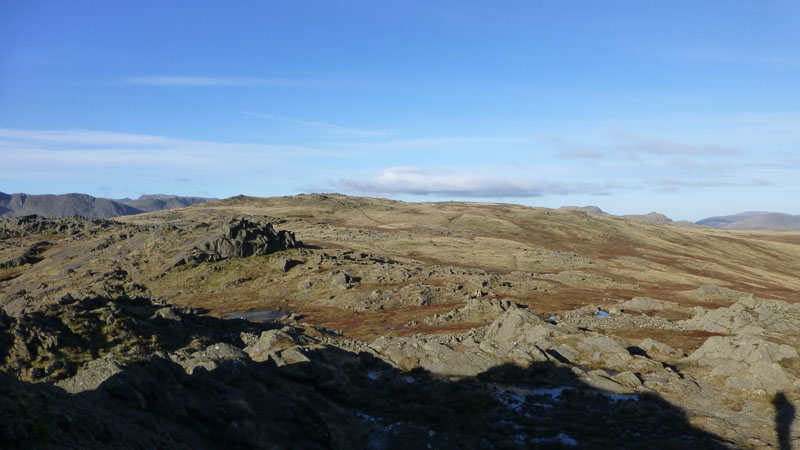
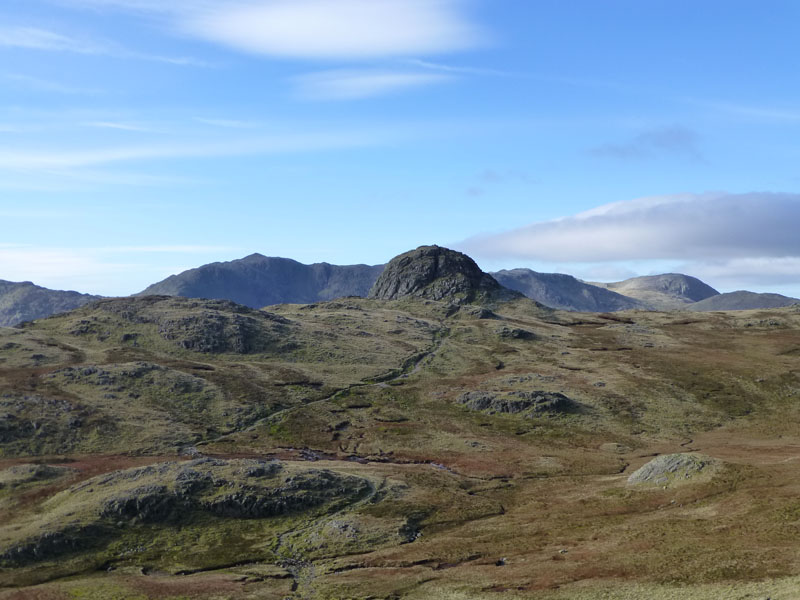
Harrison Stickle and Tarn Crag
The decaying braken is highlighted by the early morning sunshine.
 |
 |
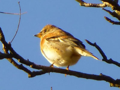
Brambling? |
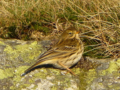
Meadow Pipit |
Birds of Langdale
The one on the left was difficult to photograph, the one on the right - more obliging.
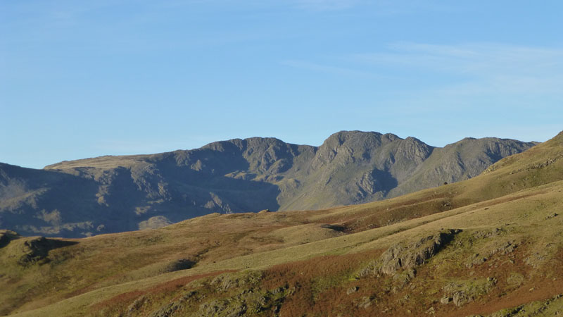
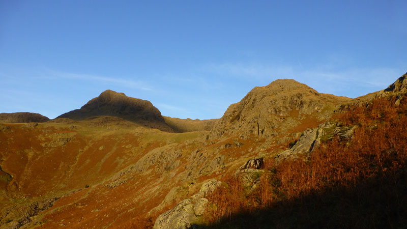
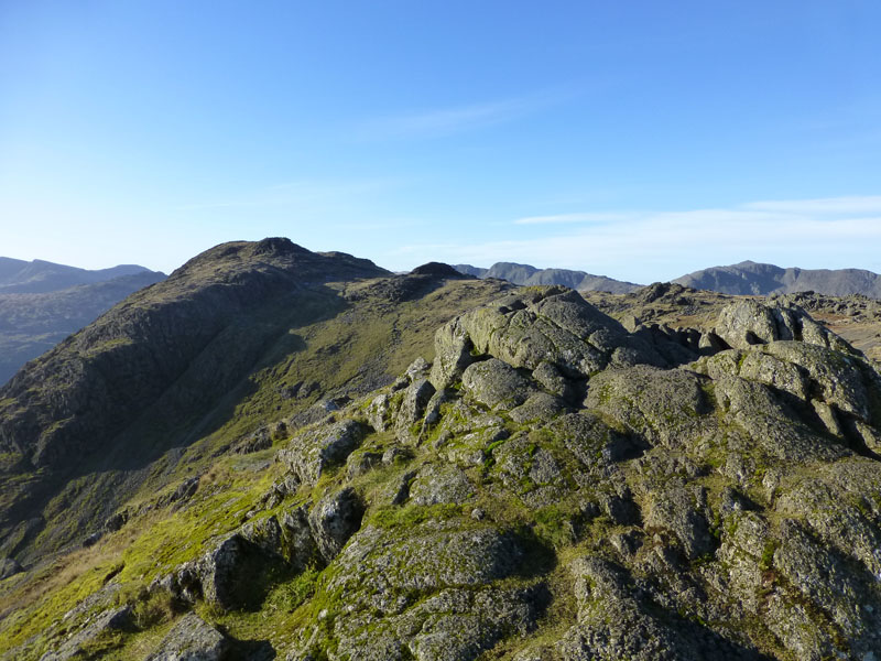
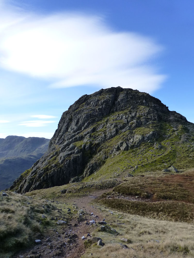
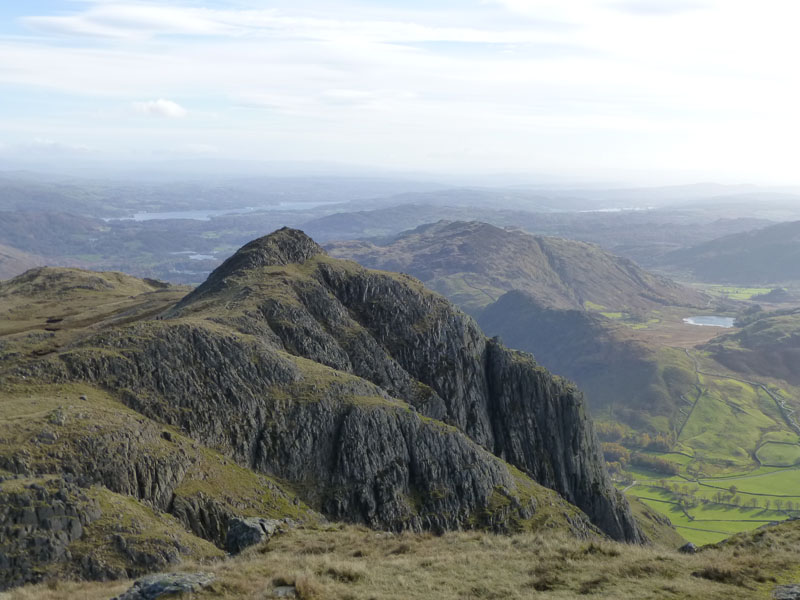
Crinkle Crags
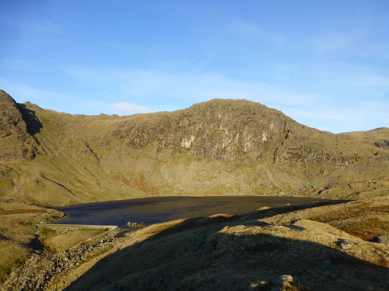
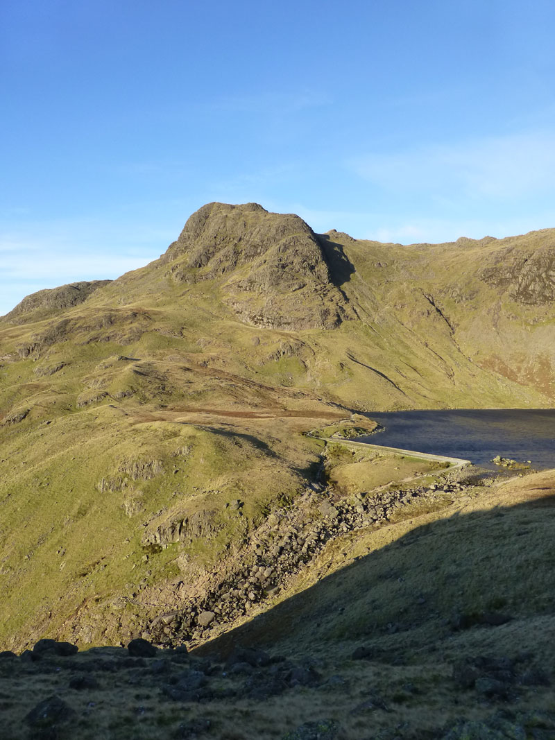
Pavey Ark
One reason for ascending Tarn Crag and avoiding the usual Stickle Tarn route was the strong breeze. There would be no chance of the still waters required for reflection photos, hence no need to reach the dam.
 |
 |
Harrison Stickle |
Sergeant Man |
Views from Tarn Crag
Two summits that might get visited later on, if they are lucky!
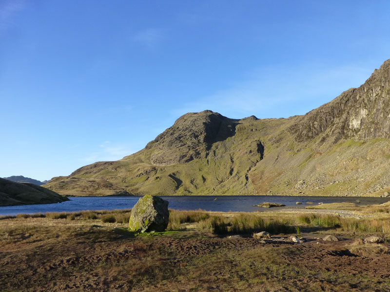
Stickle Tarn
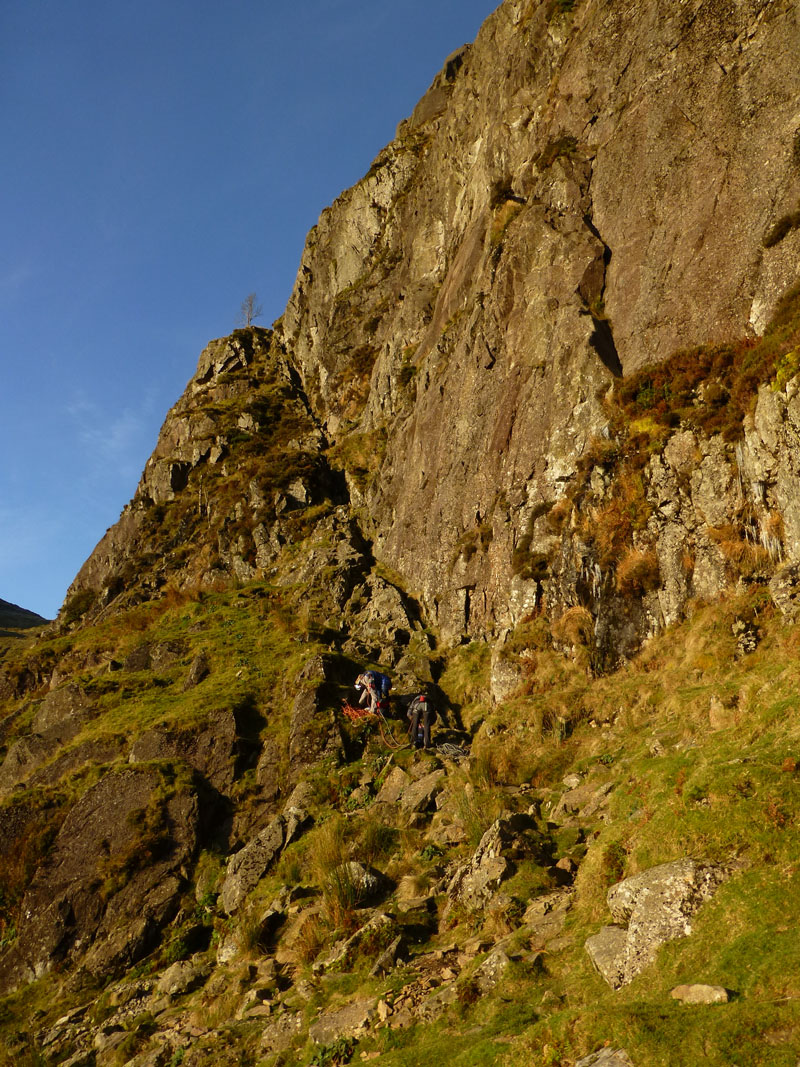
Jack's Rake
Jack's Rake is my favourite way to the top of any of the Lakeland mountains, but Hall's Ridge on Blencathra is highly commended! Two rock climbers prepare for their more direct approach. JR is more fun when you're not on your own, it'd be good for "team-building" events.
Thunacar Knott from Pavey Ark
Two hazards on The Rake: ice on the path; a dead sheep close to the "3rd" ash tree. I'm not sure that the 3rd tree retains that status, it could be the only one nowadays, I wasn't counting but I think I saw a dead tree further down. The sheep can't be removed - maybe two "gloved" men could shove it over the edge, failing that it will slowly decompose.
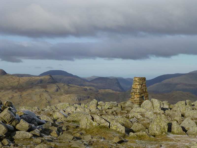
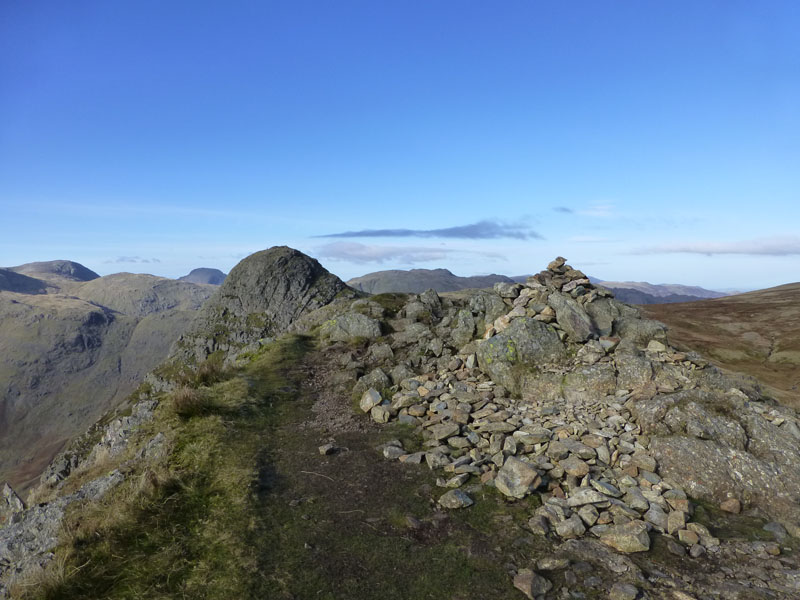
Pavey Ark Summit 2288 ft asl
10:15hrs and there's no sign of anyone else up here. The ground is generally frozen and this makes for better walking over the usually soft areas. Harrison Stickle is in view and Thunacar Knott will be the next point of call.
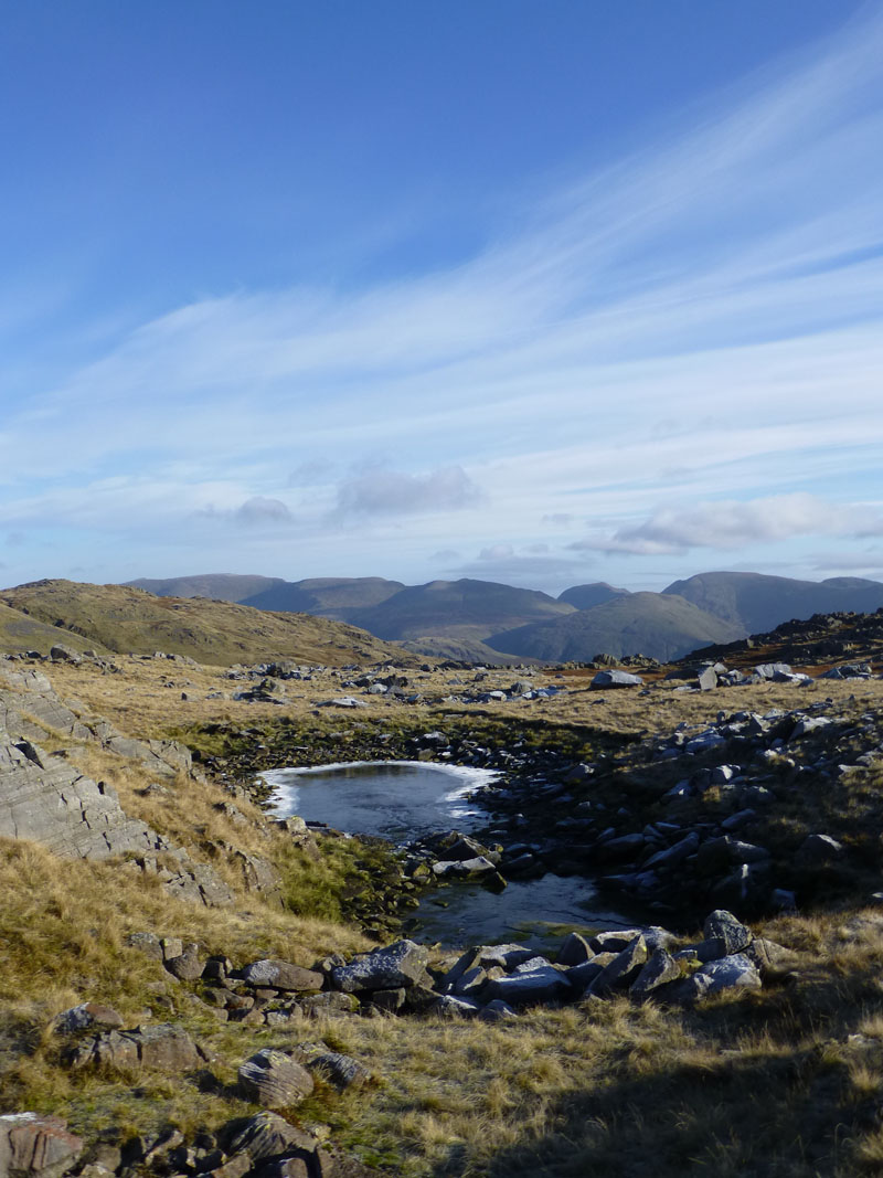
Eastern Fells
A frozen tarn within the rocky territory of Thunacar Knott with the Eastern Fells of Lakeland in view.
Thunacar Knott Summit 2351ft asl
Route to High Raise
Nothing complicated about the next part of the walk.
High Raise Summit 2500ft asl
The highest point within The Central Fells. Over five years since I was last up here and it's more than a year since my last walk in the central part of Lakeland.
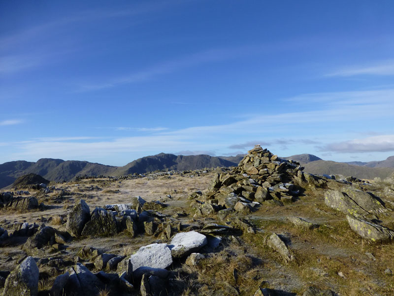
Sergeant Man Summit 2414ft asl
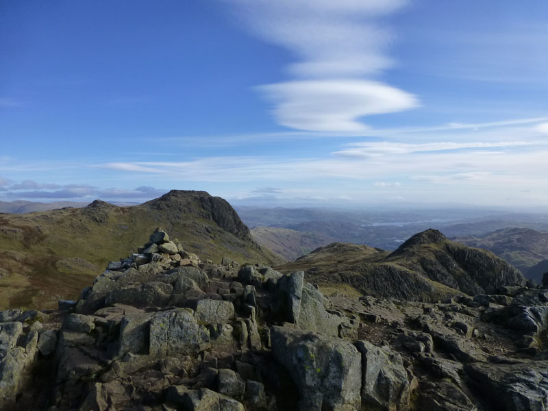
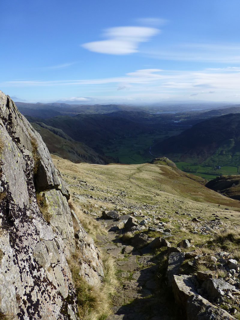
Decision time, at 11:30hrs it seems a little early to be heading back in the direction of the car. There is an easy route around the top of Bright Beck (right) and back to Thunacar Knott, seen here in the centre of the photo beyond the cairn.
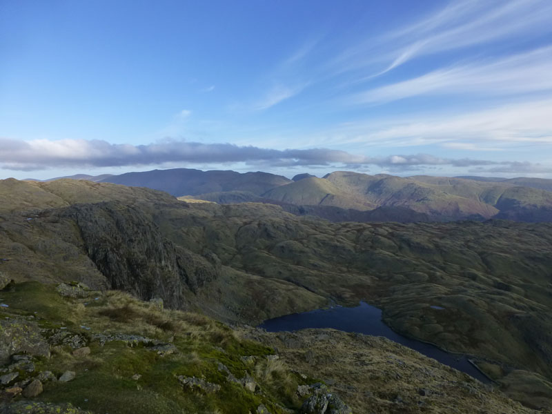
Stickle Tarn from Harrison Stickle (2403ft asl)
Sunshine diluted by high cloud, this is a reverse of the earlier photo from the shoreline of Stickle Tarn.
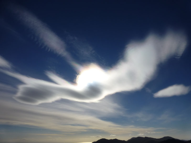
Lenticular Clouds
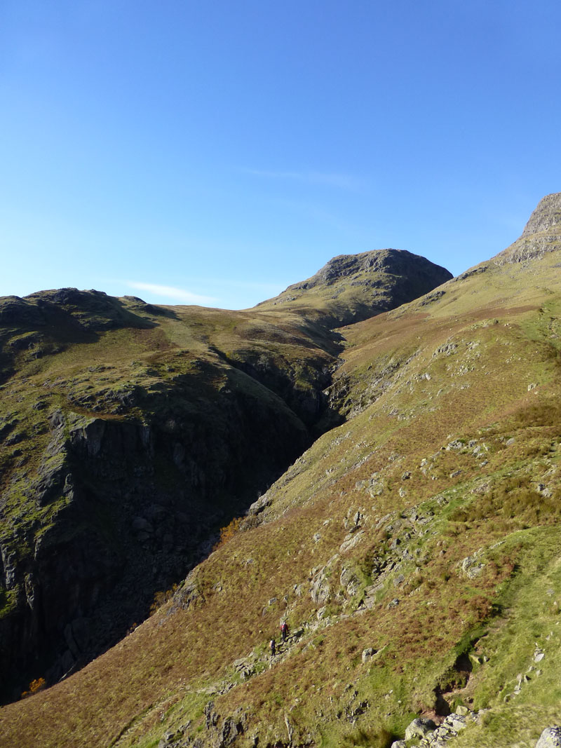
Often seen above mountain areas and, from my own observations, more likely in strong winds. Next fell in line will be Pike O'Stickle, seen across Harrison Combe in the next photo.
Harrison Combe
Pike O'Stickle
One of Lakeland's most recognisable summits.
Harrison Stickle (l) and Loft Crag (r) from Pike O'Stickle Summit, 2323ft asl
Travellers for Ambleside, passing Low Wood on Windermere, view the Langdale Pikes and wish they were there. I am!
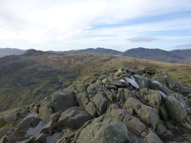
Loft Crag
Loft Crag Summit 2270ft asl
That'll be the last summit of the day, it's time to start heading down.
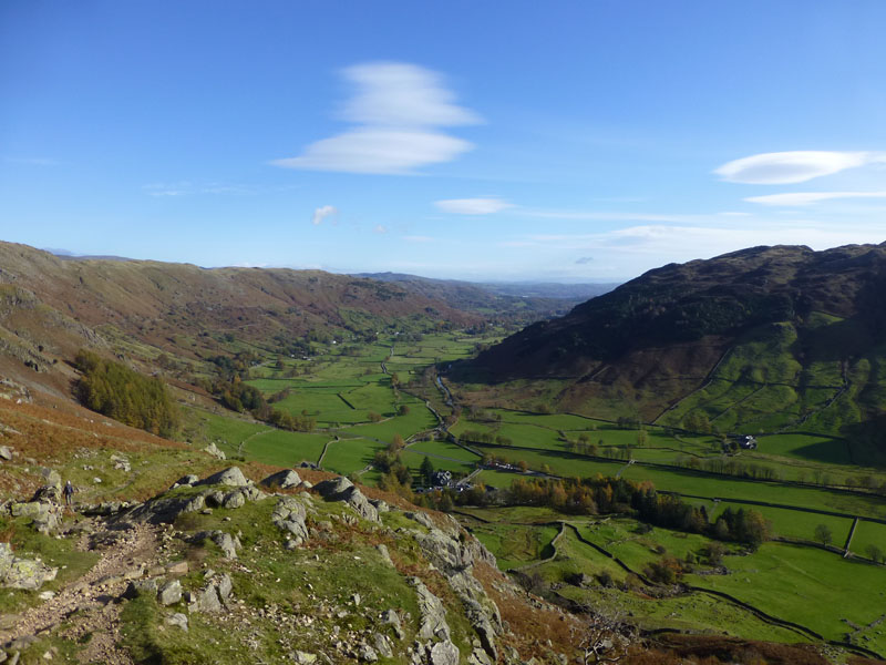
"Dungeon Ghyll" Descent Route
This is the reverse of Route 3 as per Harrison Stickle 9, Wainwright Book Three. Pike How is the bump in view.
Dungeon Ghyll
 |
 |
Stickle Ghyll |
Great Langdale |
Descent Views
These are views from Pike How, marked on the map as "Viewpoint", so I felt obliged to take advantage.
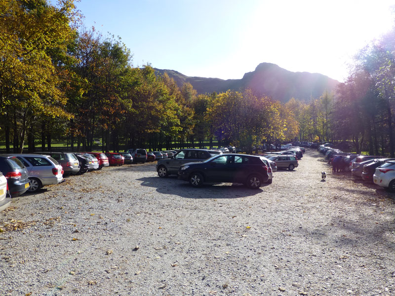
Stickle Ghyll Car Park
Looking Back!
This photo has been digitally manipulated!
Walkers: Just Me.
Time taken: 5hrs 55mins over a distance of about 9 miles.
Route: Stickle Ghyll Car Park, Tarn Crag, Stickle Tarn, Jack's Rake, Pavey Ark Summit, Thunacar Knott, High Raise, Sergeant Man, Thunacar Knott, Harrison Stickle, Pike O'Stickle, Loft Crag, Dungeon Ghyll Descent Route back to the car.
Weather and Conditions: Cold, sunny and windy.
Greetings Count: First greetees were walking to High Raise from Sergeant Man, once I arrived in the region of Harrison Stickle, the numbers increased significantly.
Richard's Refreshment Review: I called in at "Food 2 Go" Staveley on the way up. A good option for travellers who leave home early.
All photos copyright Richard Ratcliffe 2012 ©
Contact Me via email - If you don't use "Outlook", just read the email address and send me a message from your usual email facility. Comments might be published, please tell me if you don't want that to happen and I will also edit messages if they contain personal stuff that the world doesn't need to see. Hover your pointer over the link and the target might appear in the bottom left of your screen.
Take me back to the start ....