
~Bowscale Fell to Souther Fell~
28th January 2012
Last time in the Lakes, it was a perfect winter's day, but without the snow. This time, the sky was not quite so obliging but there was snow in abundance and yet again - no wind on the tops!
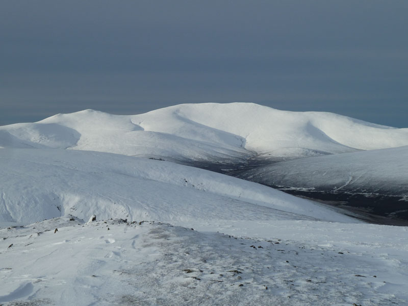
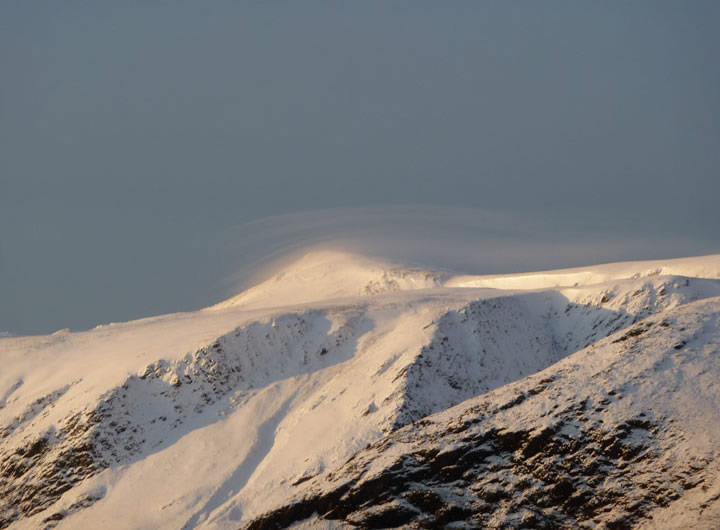
The Back of Skiddaw
Scroll down for photos and a description of the walk....
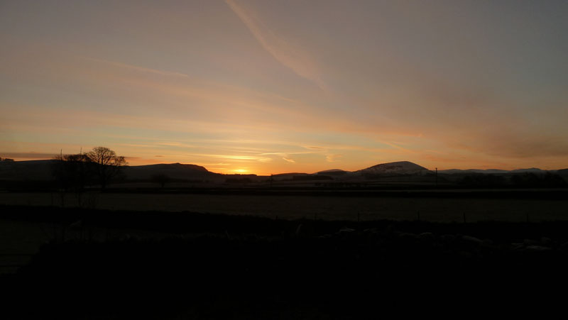
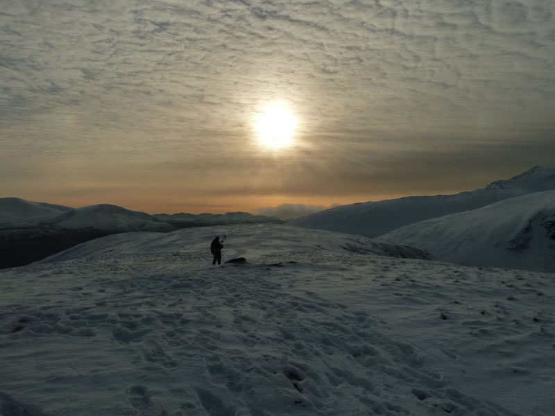
Sunrise
Start time of 08:16hrs from the lane next to the red phone box in Mungrisdale. This is, roughly speaking, a walk I've done before but then it was in summer and the other way around.
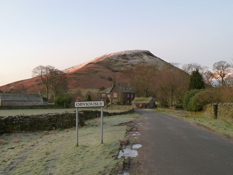
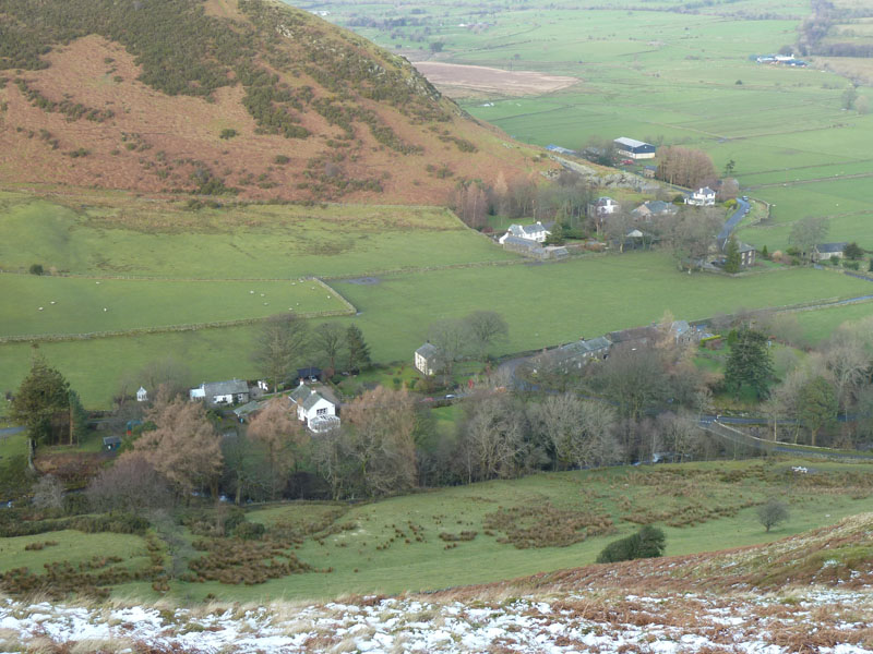
Mungrisdale Village
Souther Fell is clear to see behind The Old Vicarage in Mungrisdale Village.
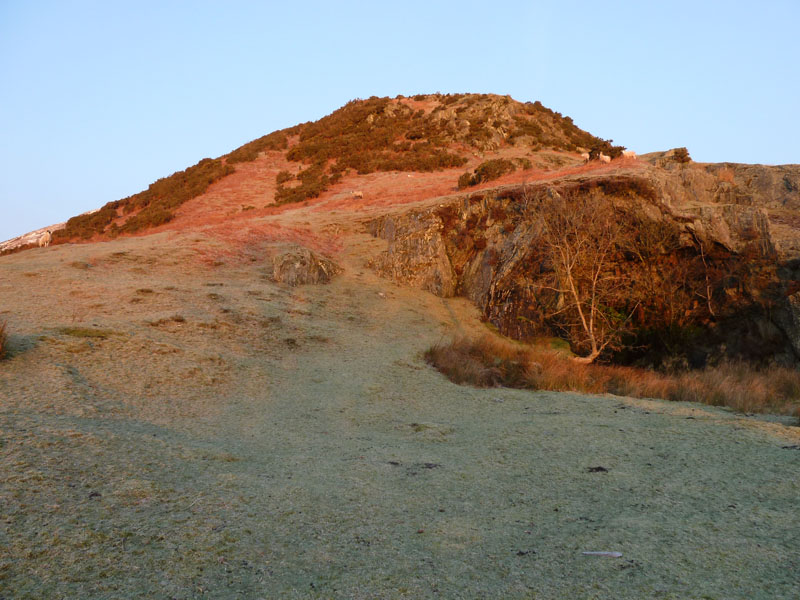
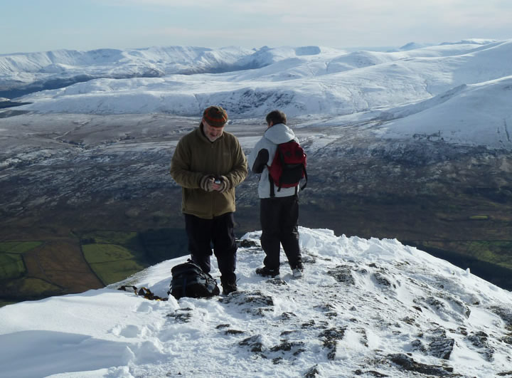
Raven Crags
Wainwright offers four routes of ascent of Bowscale Fell from Mungrisdale and I chose his recommended choice of No.4, up on to the East Ridge above Raven Crags. I have packed crampons - just in case!
Blencathra over Bannerdale Crags
 |
 |
Up onto Bowscale Fell |
Subsidiary Summit |
 |
 |
The way to the summit |
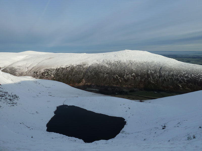
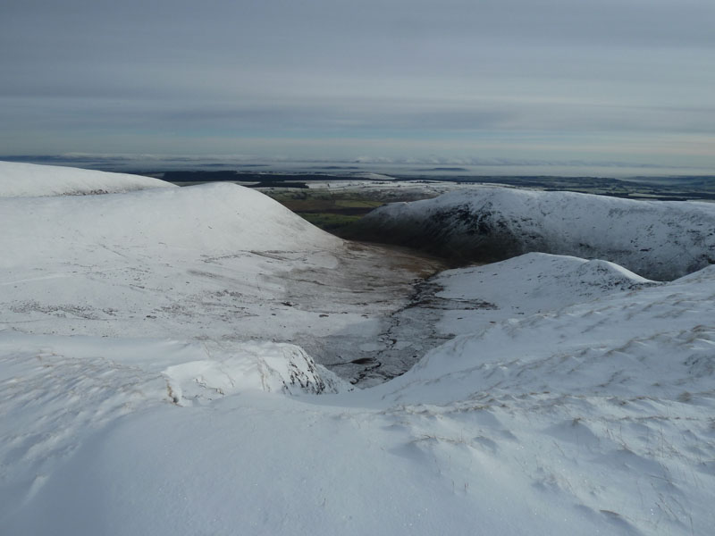
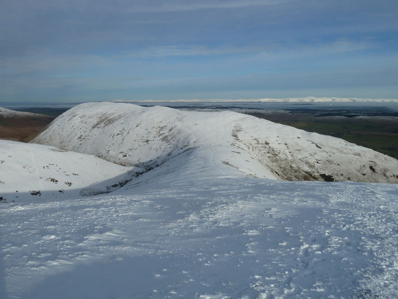
Bowscale Tarn and Carrock Fell |
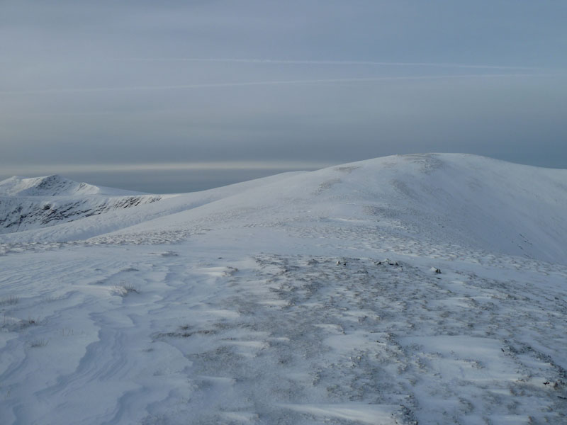
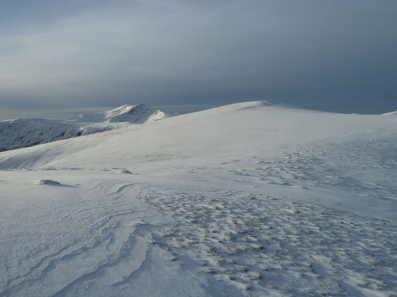
Walk Views
Carrock Fell shows the snow line quite well - about 1500ft above sea level. And up above that height the snow was uneven, sometimes deep and not very crisp. Difficult walking, but I had the pleasure of being the first onto the virgin snow on this side of Bowscale Fell. You don't need crampons in these conditions, but freeze/thaw could cause the snow to turn to ice - beware!
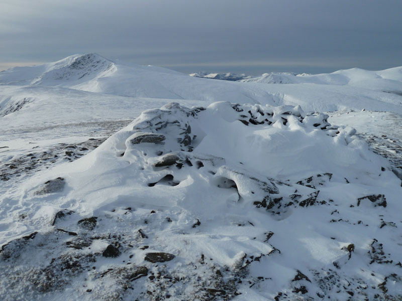
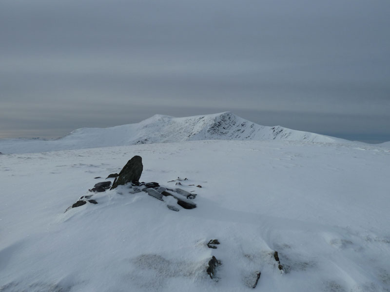
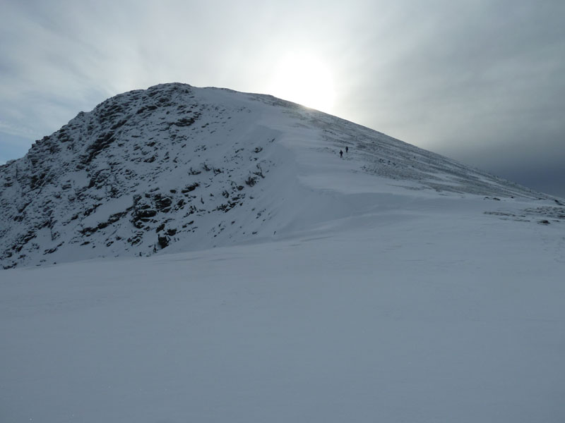
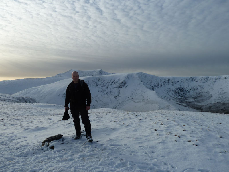
Bowscale Fell Summit
Just short of two hours to the top of the fell. I was first to the top of this one today. A walker in the next photo appears to be ahead of me, but he had climbed up "The Tongue" and avoided the summit on his way to ?? He also avoided Bannerdale Crags and Blencathra.
Blencathra from Bowscale Fell
 |
 |
| The way to Bannerdale Crags |
Bannerdale Beck |
 |
 |
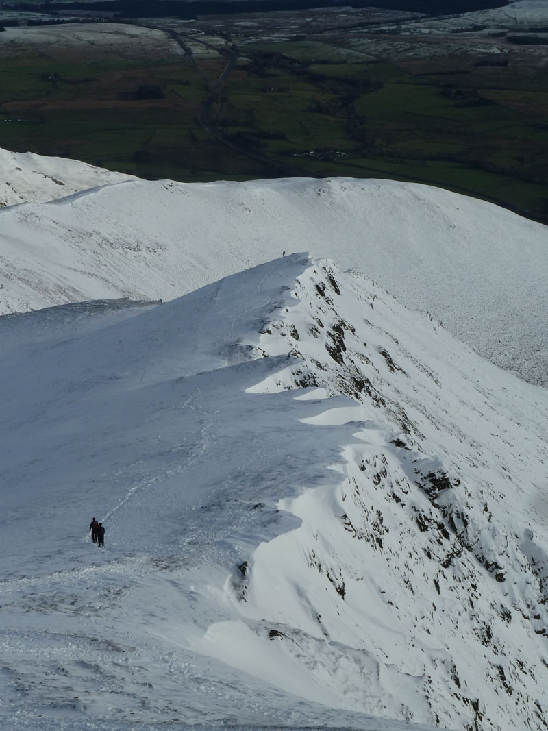
Bannerdale East Ridge |
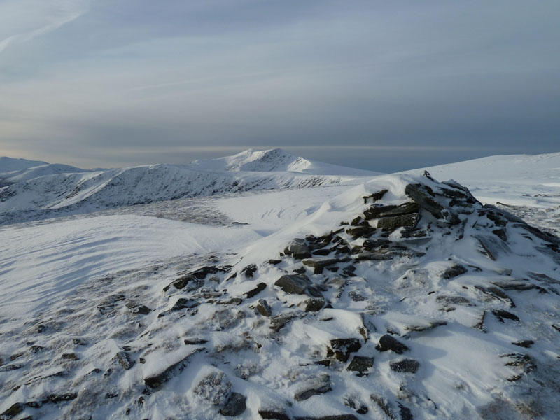
The Crags' Summit |
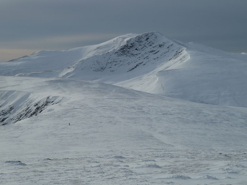
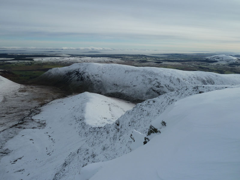
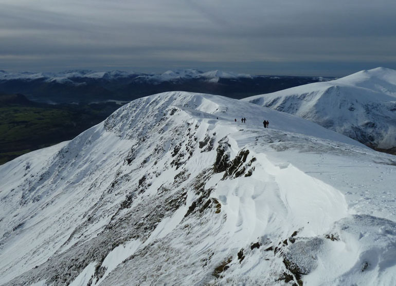
Bannerdale Crags
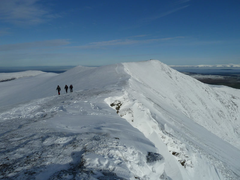
This walk is more about Bowscale Fell and Blencathra than Bannerdale Crags, but it was well worth a ridge route around to the top of this fell, which is clearly named after the rocky features on the north-east side. The "summit" isn't the highest point on the fell, but who's bothered with that sort of detail? The East Ridge looks exciting! The footprints in the top left photo could be those of a fox.
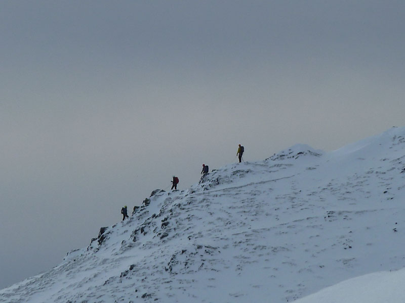
Sharp Edgers
A good number of climbers were tackling Sharp Edge, you won't find me on there in these conditions.
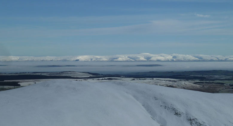
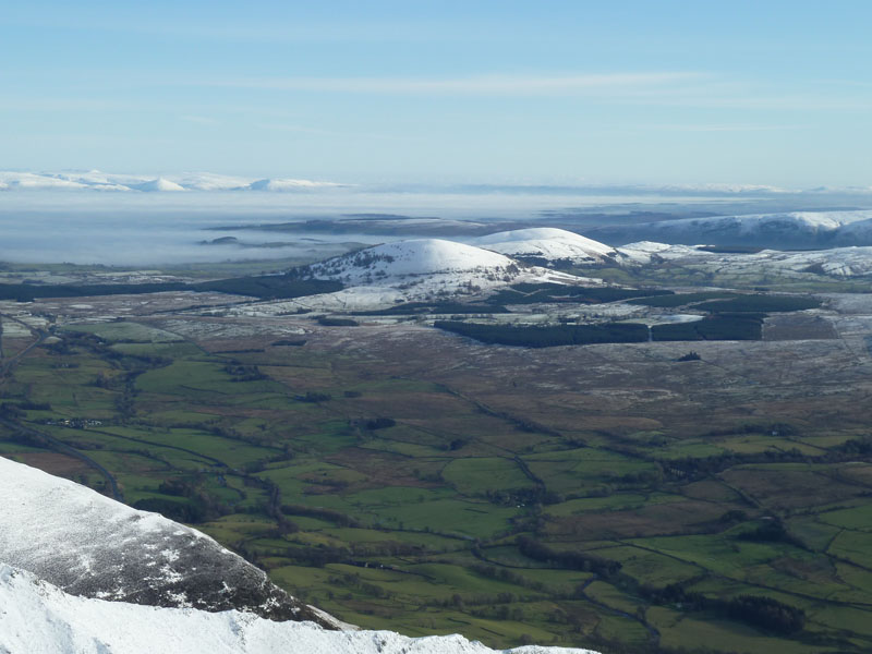
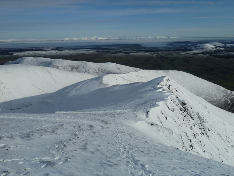
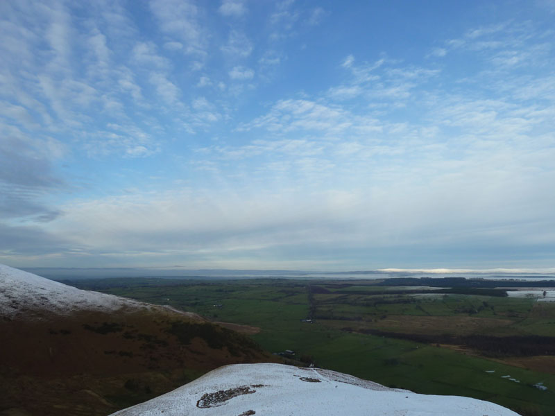
Eden Valley
The Eden Valley spent the day under a cloak of cold misty stuff; a temperature inversion, no less.
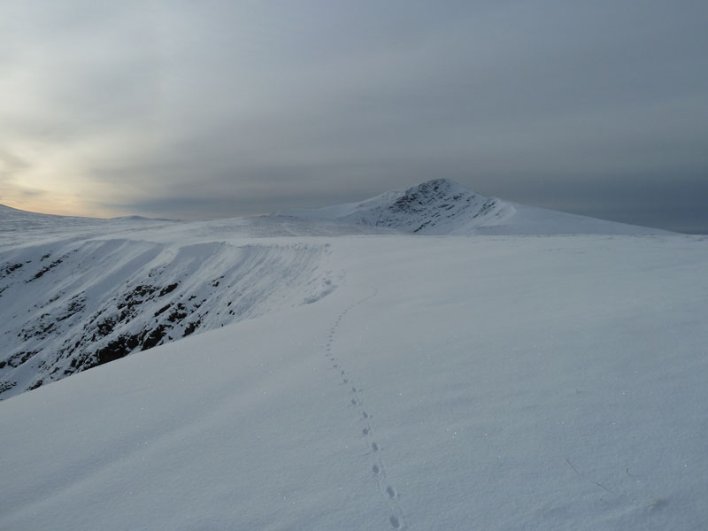
Foule Crag
Hello! Greeting No.1, nearly four hours into the walk. This was mighty hard work and I was down to a t-shirt as layers were discarded. Every step was a gamble, the snow varying in depth over the grass and stonework. The sky was not as blue as had been hoped for - thin high clouds had encroached from the west.
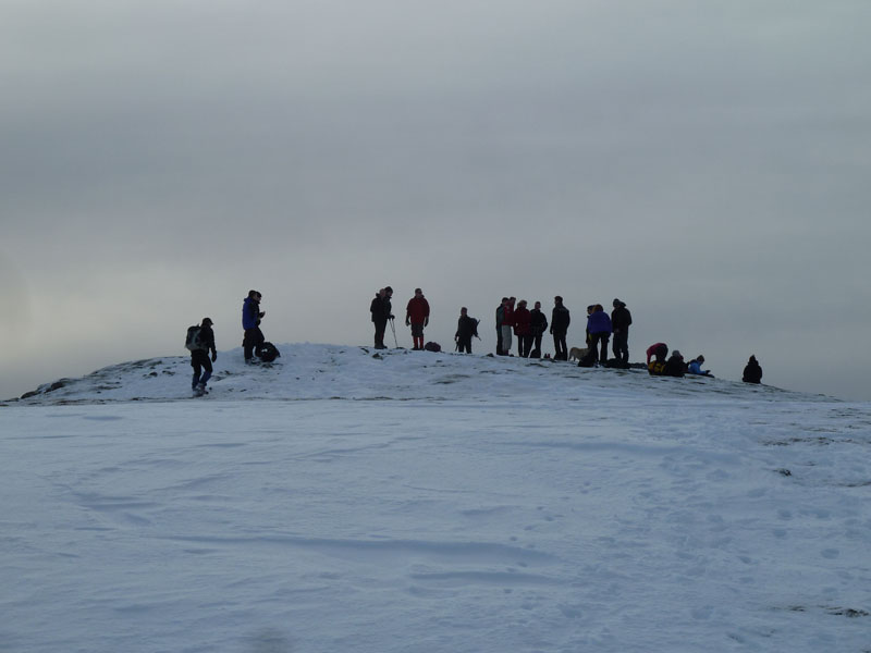
Busy Blencathra
I reached the summit territory of Blencathra at the north end - Atkinson Pike - and then made my way to the top of Hall's Fell - the summit of Blencathra. I was making notes of who got there when, ten minutes maximum and then move away. It's all rather untidy.
Hall's Fell
The Best Way up Blencathra!! Almost the best way up anything in Lakeland, in my opinion.
Gategill Fell Top
I had dropped a walk to Mungrisdale Common off the plan, but only due to the rigours of snow plodding, so instead I added a walk to Gategill Fell and back. Nobody up here wanted to leave.
The Mell Fells
Little (distant) and Great Mell Fell with the mist almost reaching their eastern slopes. Those with a keen eye might just see the disused Mosedale Viaduct.
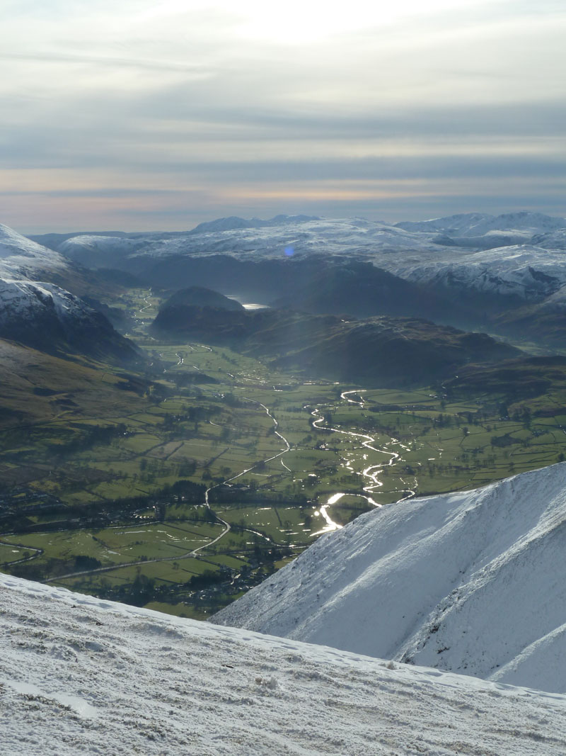
St.John's In The Vale
Looking towards Thirlmere. The next photo shows the view back to Hall's Fell Top.
Summitexters
"hi m8, im on top of blncthr" "i no, im rite bhind u"
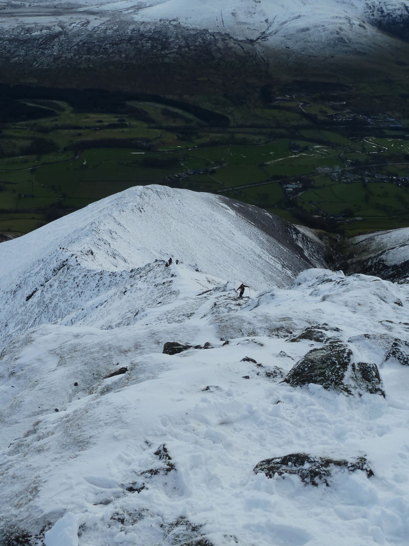
The Route Down
The way down went over the top of Doddick Fell and then onto Scales Fell.
Souther Fell, beyond Doddick & Scales Fells
 |
 |
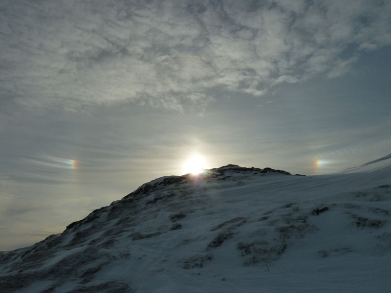
Ice Bows |
Souther Fell |
The route down over the snow was a lot easier with the path well trodden. Access to Souther Fell is across Mousthwaite Col, centre of the photo on the right. I could easily have avoided Souther Fell with routes, left and right, but the name of the game is fellwalking, not valley dawdling, so it was up and onto the fourth fell of the day.
Me on top of Souther Fell
A passing walker kindly offered to do the honours.
Looking South-West
That's him.
Souther Fell Descent
Note how the sky is bluer to the north-east, this area was right on the edge of the hazy high-level cloud.
Mungrisdale Village
The way down is a bit longer than necessary due to no access being allowed through the field below the fell.
Walkers: Just Me.
Time taken: 7hrs 40mins over a distance of about 10.5 miles. 3,500 ft of ascent.
Route: Mungrisdale Village, Raven Crags, Bowscale Fell, Bannerdale Crags, Glenderamackin Col, Foule Crag, Atkinson Pike, Hall's Fell Top (Blencathra Summit), Gategill Fell Top, Hall's Fell Top, Doddick Fell Top, Scale Fell, Mousthwaite Col, Souther Fell, back to the car at Mungrisdale Village.
Weather and Conditions: Sunny, no wind.
Greetings Count: Everyone I met was delighted to be there! A happy bunch today.
Worth It? 193 mile round trip; 2hrs up the longer M65/M6 route to avoid icy country roads and roughly the same time, but a shorter return using the A65. About £33 in fuel cost.
Richard's Refreshment Review: Nothing to report today.
All photos copyright Richard Ratcliffe 2012 ©
Take me back to the start ....