~Tebay & Blease Fell~
18th February 2012
There is an upland valley between the high ground of Cumbria and North Yorkshire, where the River Lune heads south and The Romans ventured north. Railwaymen and motorway builders grabbed their chance. This walk looks at the Lune valley from Lowgill to Tebay and then views the territory again from higher up.
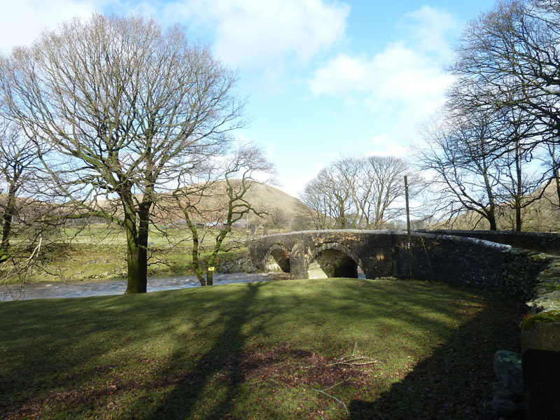
Salterwath Bridge
Scroll down for photos and a description of the walk....
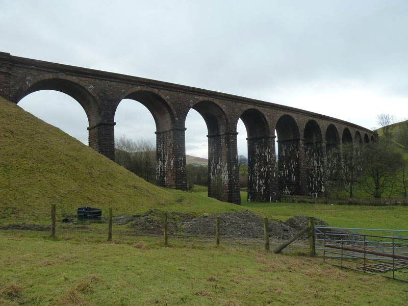
Lowgill Viaduct
Start time was a tardy 10:00hrs, but for good reason! I drove through the cold front heading south and waited for the rain to cease. The line from Clapham through Ingleton, Kirkby Lonsdale and Sedbergh to the West Coast Mine Line was closed in 1966. The walk heads off under the viaduct on a narrow road heading for the river.
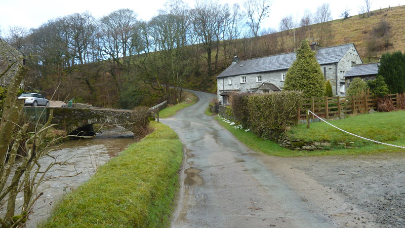
Pool House
One advantage, or maybe disadvantage, of walking in the countryside is the continual discovery of places I'd like to live in. Pool House and neighbours live down by a tributary for the Lune.
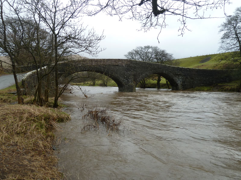 |
 |
Crook of Lune Bridge |
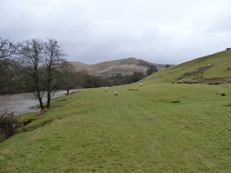
Banks of The Lune |
The river level is high, due to recent rainfall and meltwater.
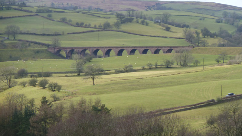
Lowgill Viaduct
My original plan for today had been to park in Tebay and walk on Howgill Fells before walking back up the valley at the end, but the late start caused me to change the plan.
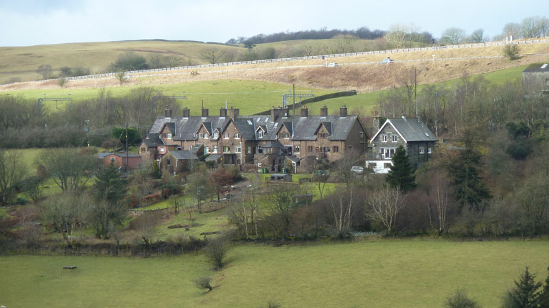
Lowgill Railway Terrace
 |
 |
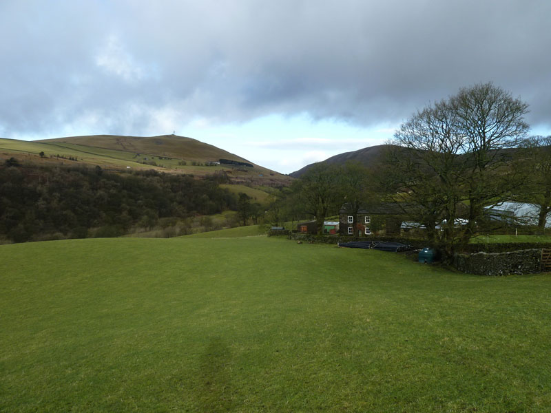
Low Wilkinson's Farm |
Howgill Head |
 |
 |
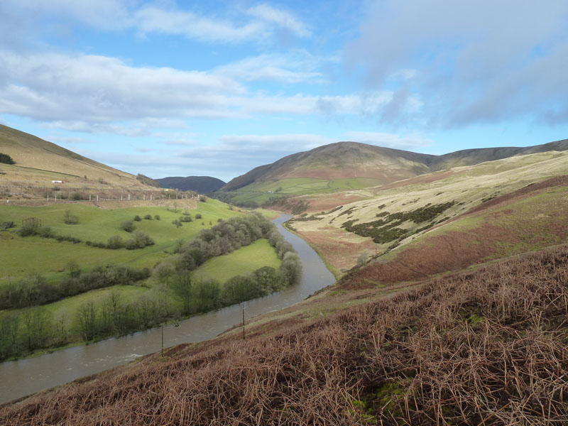
The Lune and Blease Fell |
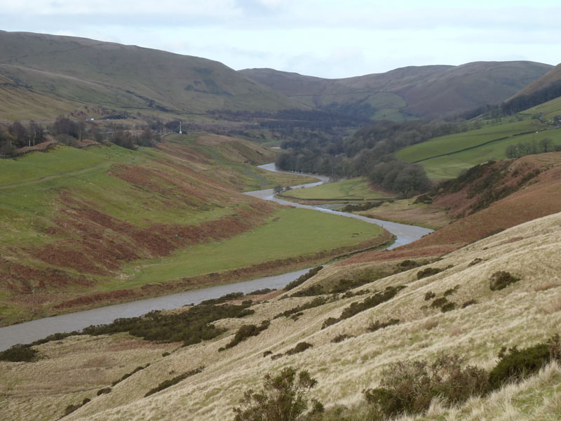
Meandering Lune |
Brightening Skies
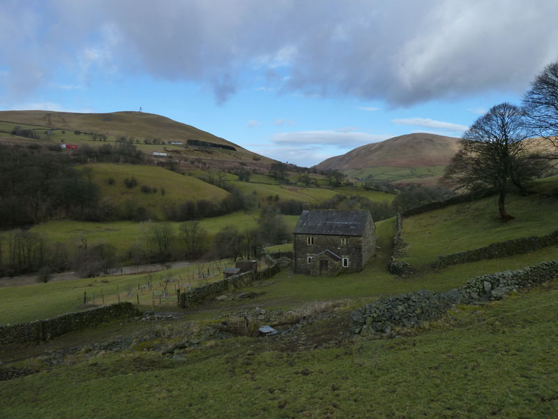
Howgill Head is partly restored with a new roof and some restorative walk on the walls. I joined Fairmile Road, shown as "Roman Road" on the map. I wanted to be at Tebay by 11:50 and a look at the time suggested I needed to get a move on.
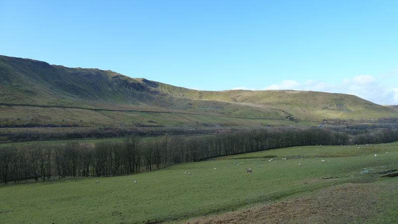
Grayrigg Pike and Birk Knott

Salterwath Bridge
The road crosses the bridge to the site of a Roman Fort, my walk stays on this side of the river and it's quick march to Tebay.
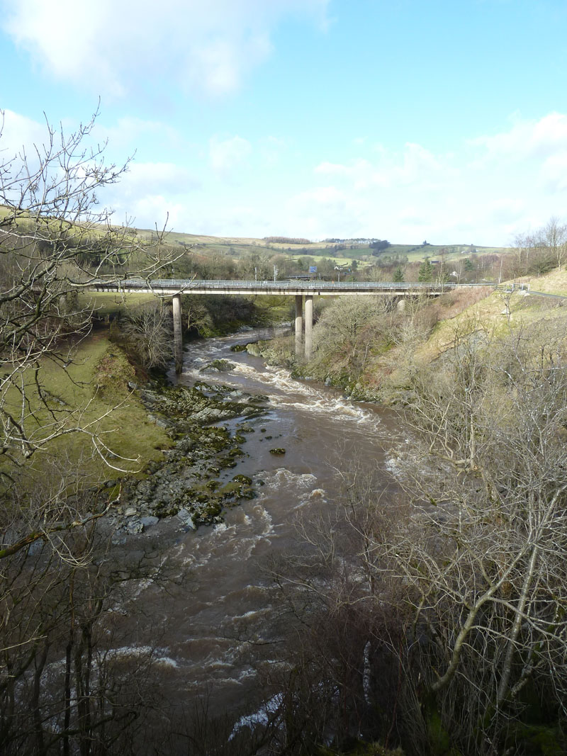
"New" Lune Bridge
The "Lune Bridge" is further on, but the "A" road had to be diverted when the M6 was extended north. I made my way to this bridge and then snuck into a farmer's field and went down to the railway fence, with five minutes to spare.
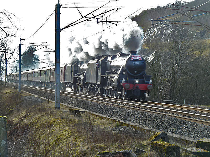
"Black 5's" LMS Class 5MT 4-6-0 nos 45305+44932
Bugger! I failed to notice that the program dial on the camera had moved from "Auto" to "Shutter Speed Priority" and so the one photo of the day that I really wanted to get right is a mess. Over-exposed and blurred, PhotoShop has helped me out, but this is not good! And there are no second chances in situations like this. Another Cumbrian Mountain Express next Saturday (3rd March) is due to head to York and then Leeds, Settle, Carlisle.
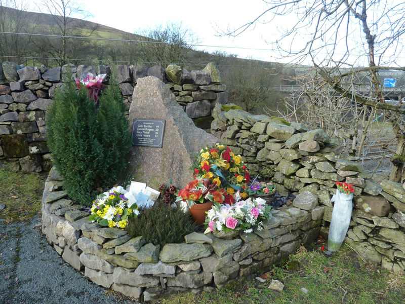
Railworkers' Memorial
Four maintenance railworkers were tragically killed near this spot on February 15th 2004.
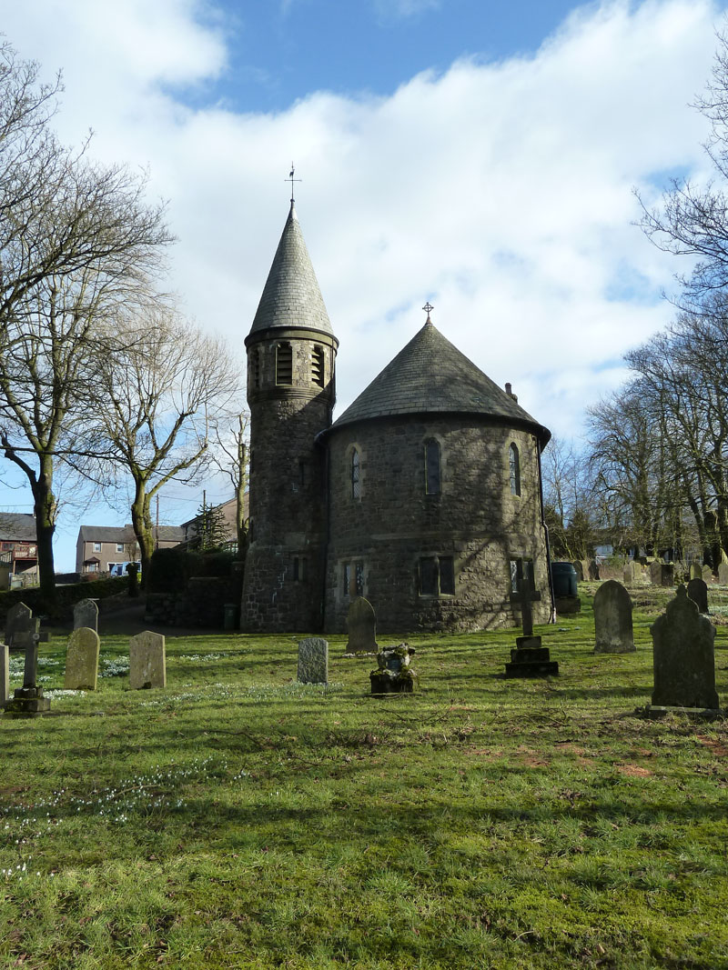
St.James Church, Tebay
Within the church is an exhibition pertaining to the role of Tebay during the era of railway growth and prosperity. Much of Tebay owes its existance to the railways and there used to be a station here plus engine sheds and many sidings. A line used to run to/from Kirkby Stephen.
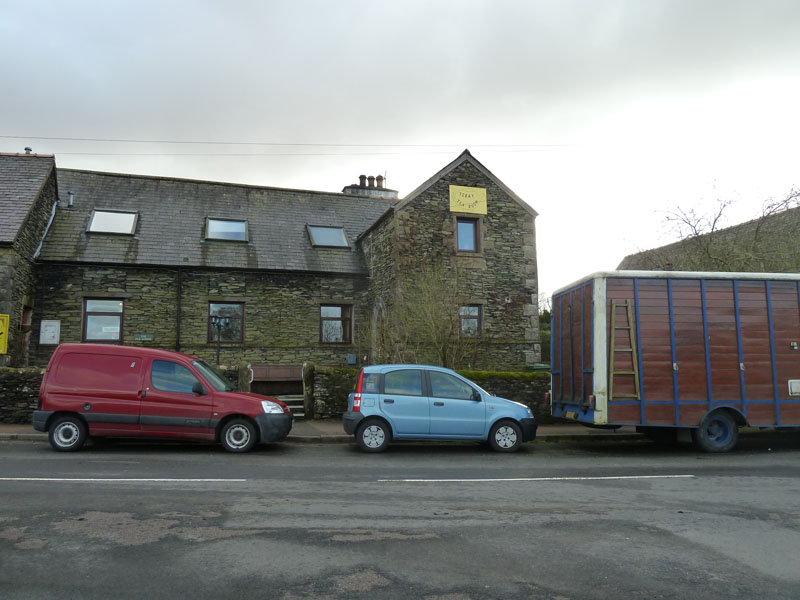
The Old School Tearoom (only open to Private Parties, Groups etc. - correct info early 2018)
I took refreshments here and debated the relative mertis of being a fellwalker and having a long walk back to the car over Blease Fell or of being a less determined rambler and catching a bus back to Grayrigg village, for a short walk back to the start.
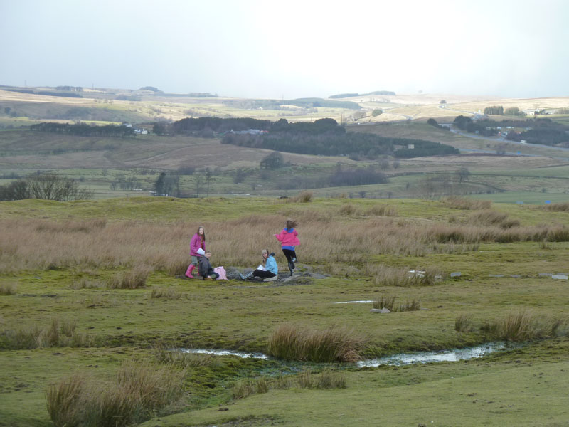
Local Children
I'm an intrepid fellwalker! Four young ladies amuse themselves up on the moors. One asked me if I knew where I was going! The truth was that I didn't really know where I was going, but I wasn't letting on.
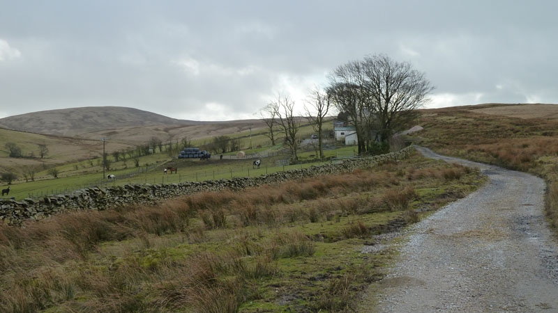
Tebaygill Farm
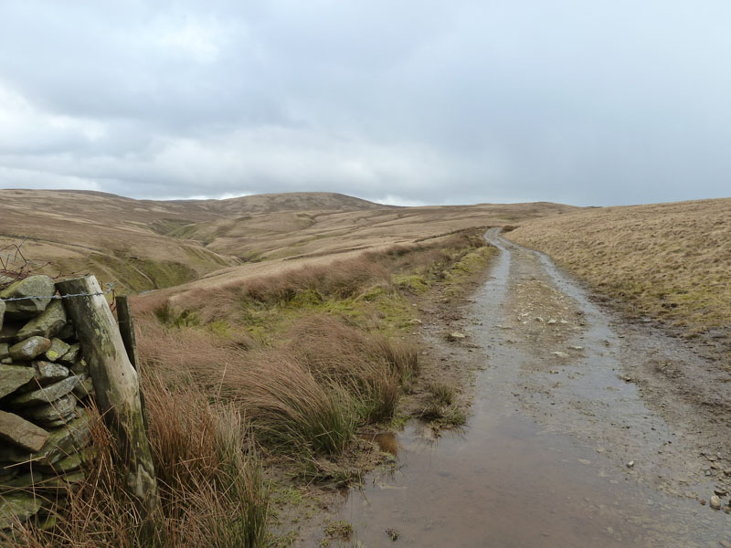
Into The Unknown
Off we go, no walkers, no more walls, no sheep, no birds, no nowt! Welcome to The Howgills! Soon enough a hail shower came my way and so it was hood up, head down and follow the farmer's tracks.
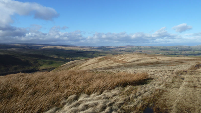
Powson Knott from Blease Fell
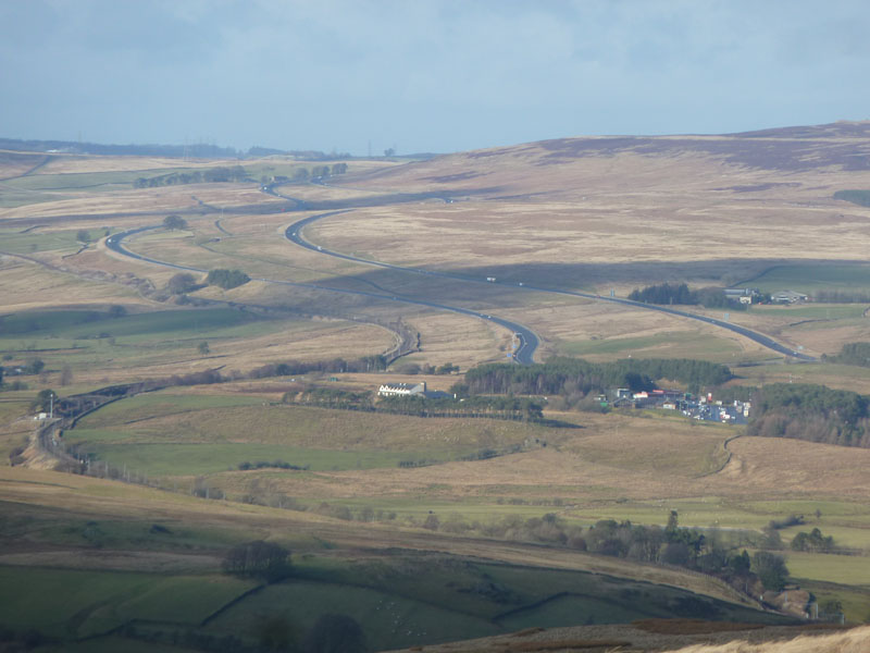
The M6 north of Tebay
Sweeping curves for the road and the railway. Westmorland Services (West) are in view.
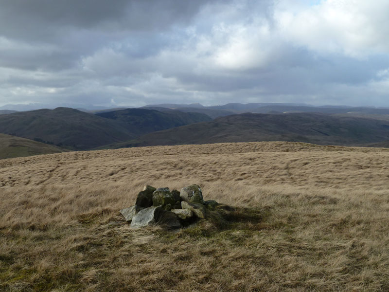
Blease Fell Summit, 1556ft asl
Or near enough, the highest point doesn't boast a cairn. The view is westwards into The Lake District. It's not often that I walk 10 miles before reaching the first summit of the day.
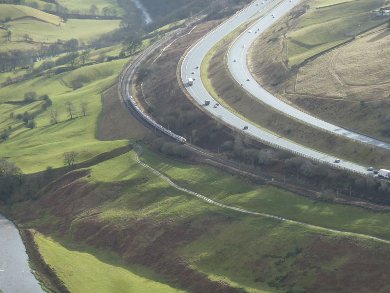
Travellers
How many of you have travalled north on a train or in a car and been distracted by the view onto the Howgill Fells? Blease Fell dominates the skyline from this spot and this is the view the other way.
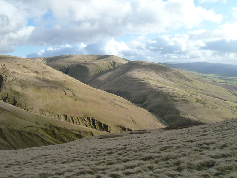
Fell Head and Linghaw
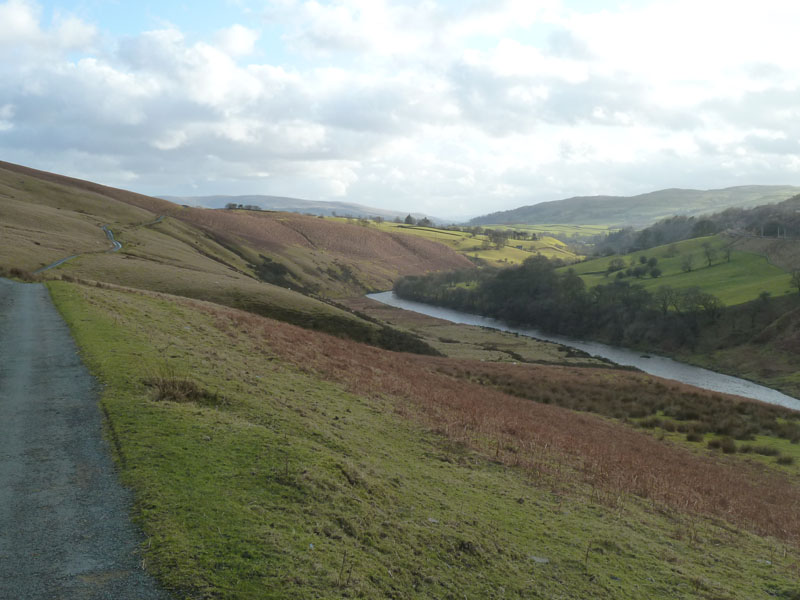
Fairmile Road
I rejoined the road at Carling Bridge and retraced my steps back to the car.
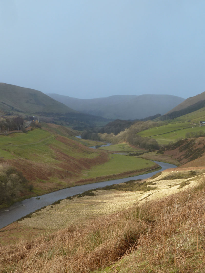
Looking Back
The next wintry shower is on the way and I took shelter in Howgill Head, the partly restored building seen earlier.
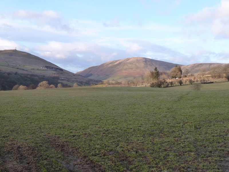
Blease Fell
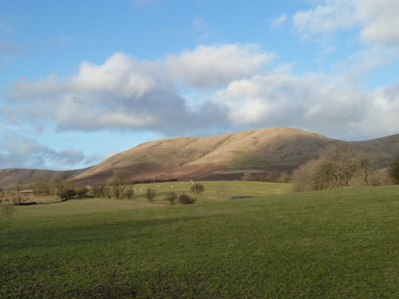
Linghaw
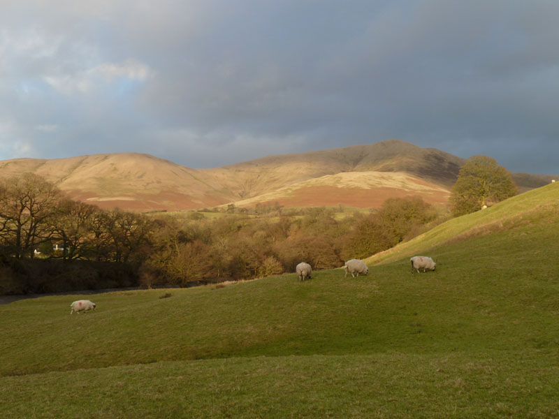
Fell Head
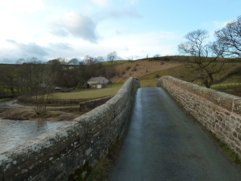
Crook Of Lune Bridge
There is another Crook of Lune further south, near Lancaster. This is one of those very narrow bridges with traces of car paint on both sides.
Walkers: Just Me.
Time taken: 7hrs over a distance of about 14.5 miles. 2,656 ft of ascent.
Route: Lowgill Viaduct, through the fields to Fairmile Road, along the road to Salterwath Bridge, more fields to Tebay. On to the Howgills via the track behind The Old School, Powson Knott, Blease Fell, Carlinghall Bridge, Fairmile Road and back to the car.
Weather and Conditions: Rain cleared, sunny intervals and two wintry showers later on.
Greetings Count: No other walkers on the way up to Tebay, though I did greet a couple of farmers. After the young locals above Tebay, I saw nobody else on the walk. Seekers of solitude head for the Howgills! But not at all once.
Richard's Refreshment Review: The Old School Tearoom was a welcome surprise. However, when I researched said cafe in early 2018, I found out that they only open the tearoom for private parties and groups.
Steam trains on the main lines: uksteaminfo and then follow the links.
All photos copyright Richard Ratcliffe 2012 ©
Take me back to the start ....