
~Towneley Park & Pendle Hill~
8th December 2012
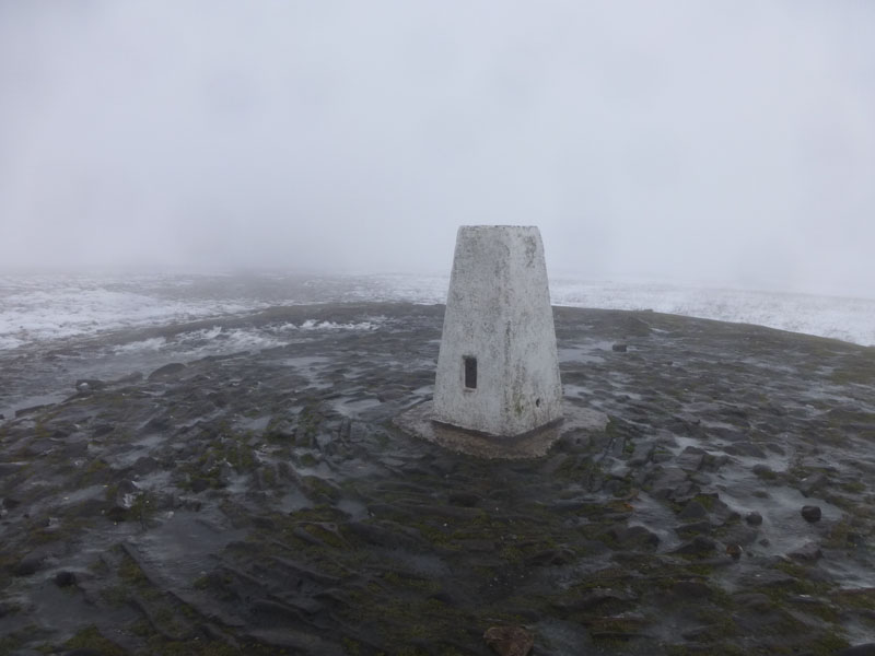
Pendle Summit
Scroll down for photos and a description of the walk....
Fulledge to Towneley
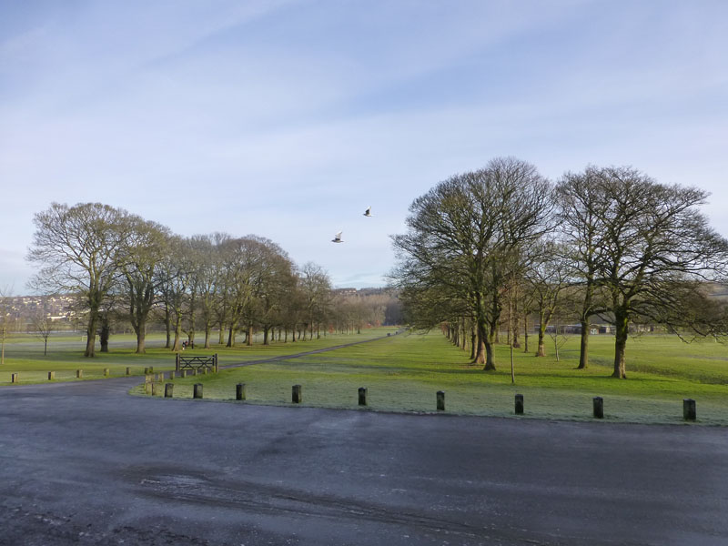
My day started with a walk from Fulledge to Towneley Park in Burnley. On the basis that you have to pay to park in Towneley, it's better all round to have a longer walk and leave the cars outside the main gates.
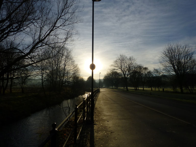
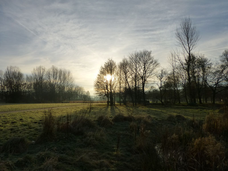
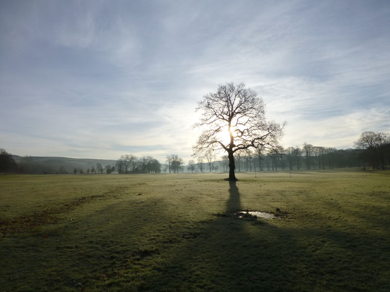
The Road up to Towneley Hall
The sun is lurking behind the "20" sign - the most ignored sign in Burnley! It's a race track and a shortcut from here to there.
 |
|
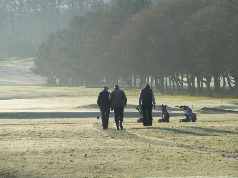
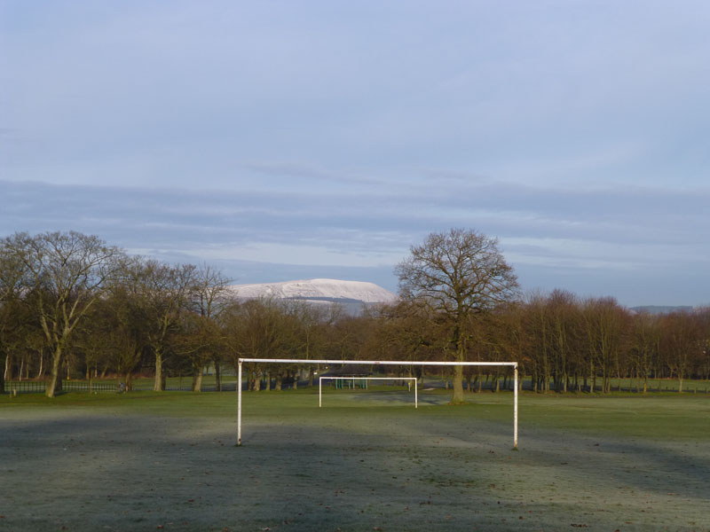
Winter Golfers |
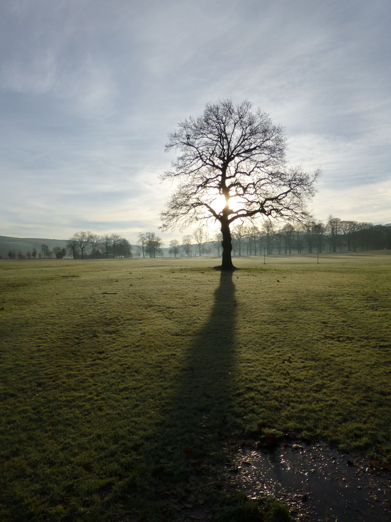
The Tree |
Towneley Views
Towneley Park must be Burnley's No.1 Asset. Maybe us locals take it for granted. 440 acres of open spaces and deciduous woodland, Towneley Hall, two golf courses, cricket and football pitches, play areas - something for everyone.
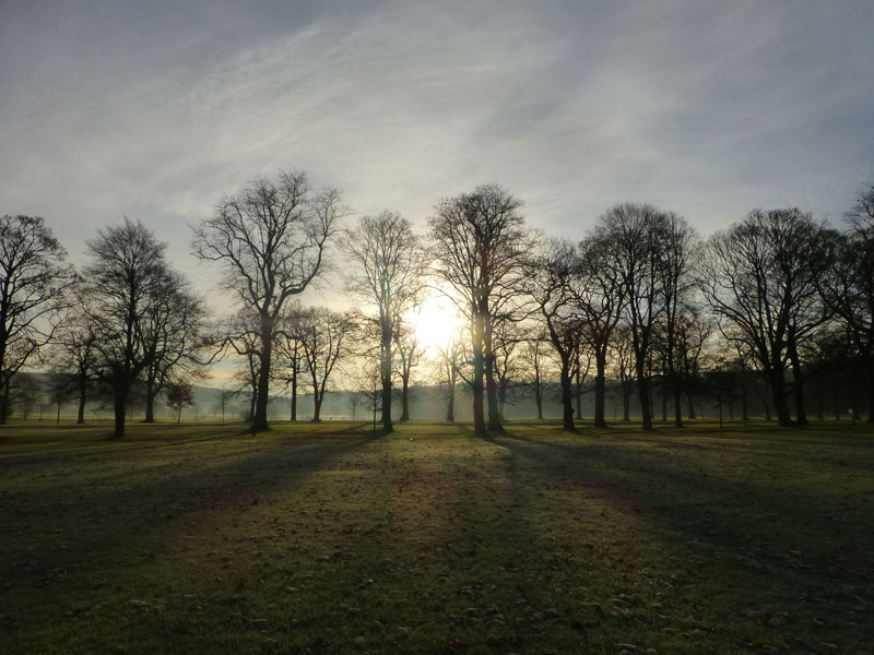
Early Morning at Towneley
Playgrounds
Trees of The Avenue
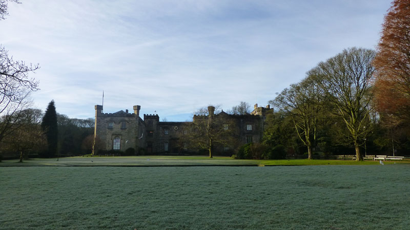
Towneley Hall
Towneley Park
Seeing Pendle Hill from Towneley made me think that I should have a look up there this afternoon. But first, a light meal at The Stables in Towneley Park.
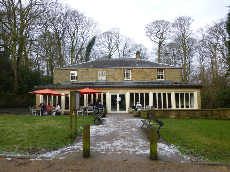
The Stables
Dog walkers congregate outside with their pets. Clean and tidy inside and good food and drinks on offer. My first paid employment was right here in 1981. They didn't recognise me.
~~~~~
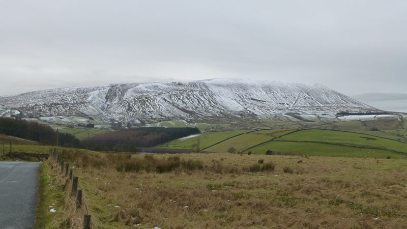
Pendle Hill
Me n' Izzy decided that there would just be time before the imminent rain for us to get a quick circuit in. We started at 14:30 from Barley car park and headed up to the Ogden Reservoirs.
 |
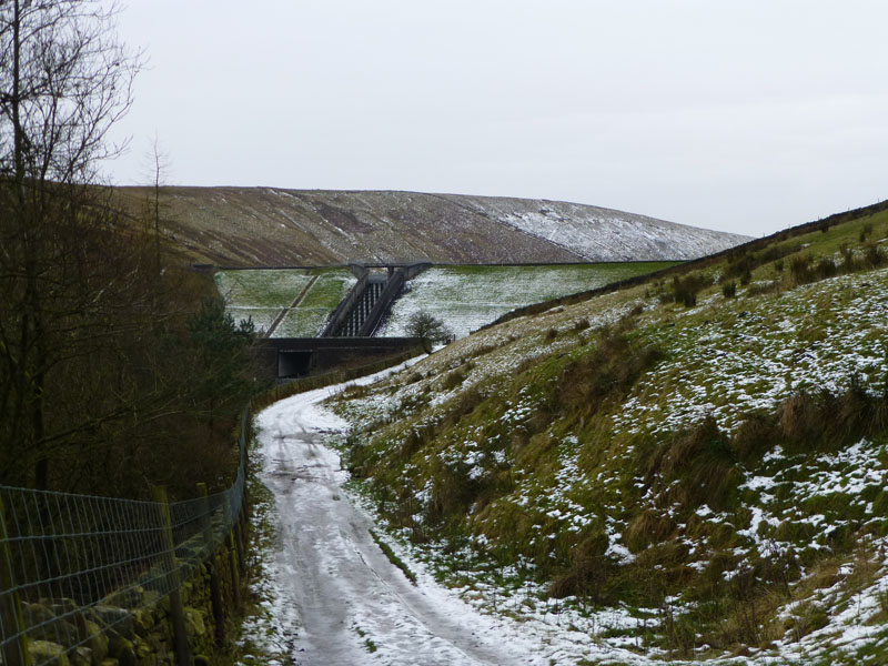 |
Lower Ogden Reservoir |
Upper Ogden Dam |
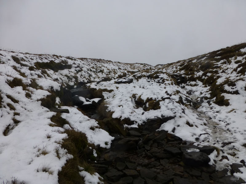
Boar Clough
Ah well, not quite enough time before the rain...
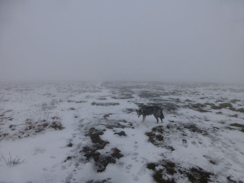
Izzy The Dog
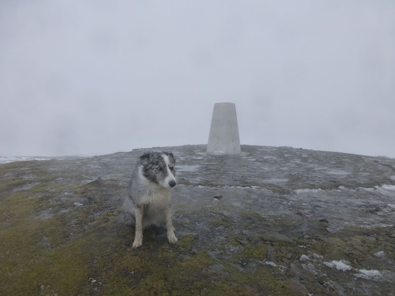
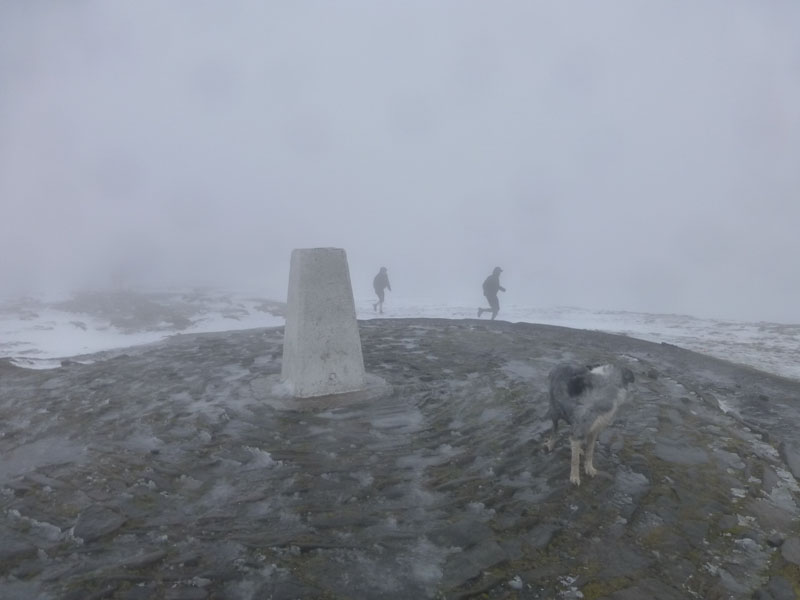
The route up from Boar Clough to Pendle Summit is well cairned and very useful this could be, but today we also had footprints to follow.
Grim!
 |
 |
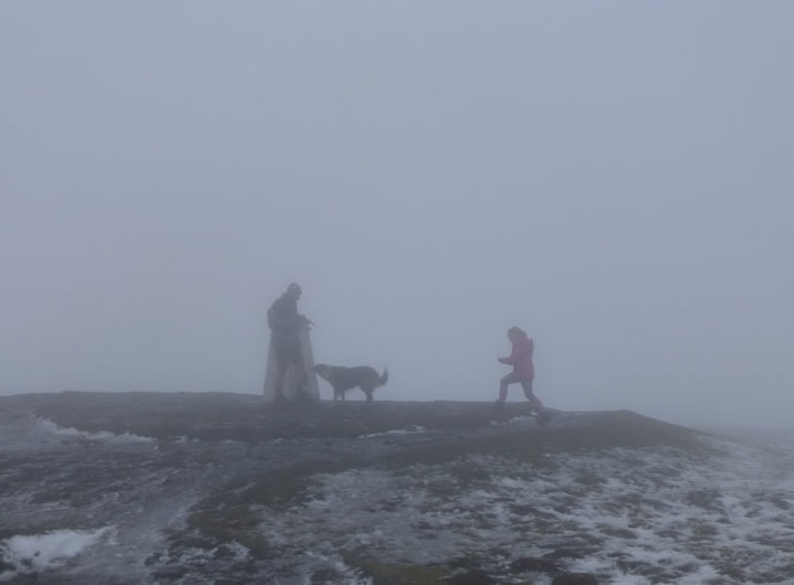
A Dog's Life |
Runners |
Summit Scenes
And that's it, time for the camera to take a rest. Now where's those steps....
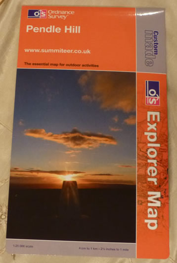
"Pendle Hill" Map
I ordered this through the OS website. You can centre your map wherever you like, add up to three lines of text and insert your own photo. Very handy when your favourite territory is at the edge or on a fold. If you want this map with Pendle just off centre and the towns of Burnley, Colne and Clitheroe all in view, let me know and I'll repeat the order - it's £16.99. Maybe a bit of p&p.
Of the Pendle walk...
Walkers: Me n' Izzy
Time taken: 2hr 6mins over a distance of about 6 miles.
Route: Barley, Ogden Reservoirs, Boar Clough, Pendle Summit, The Steps, over the fields and back to Barley.
Weather and conditions: Cloudy, delcining to cold and wet.
All photos copyright Richard Ratcliffe 2012 ©
Take me back to the start ....