~Angletarn Pikes to Place Fell~
30th September 2011
There's something about England, where else do they get such weather variations? 48 Hours before this camping trip, I felt sure of three dry walks, but we'll never have complete control over the elements, so I brought my waterproofs, just in case. It's been about 6 weeks since my last Lakeland walk, so it was good to get the boots on and the maps out, once again.
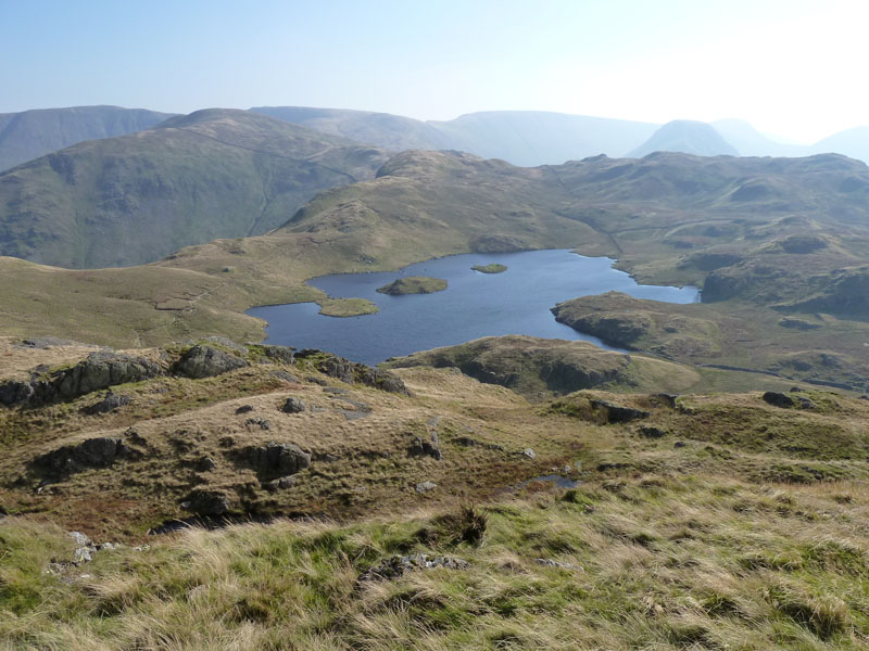
Angle Tarn
Scroll down for photos and a description of the walk....
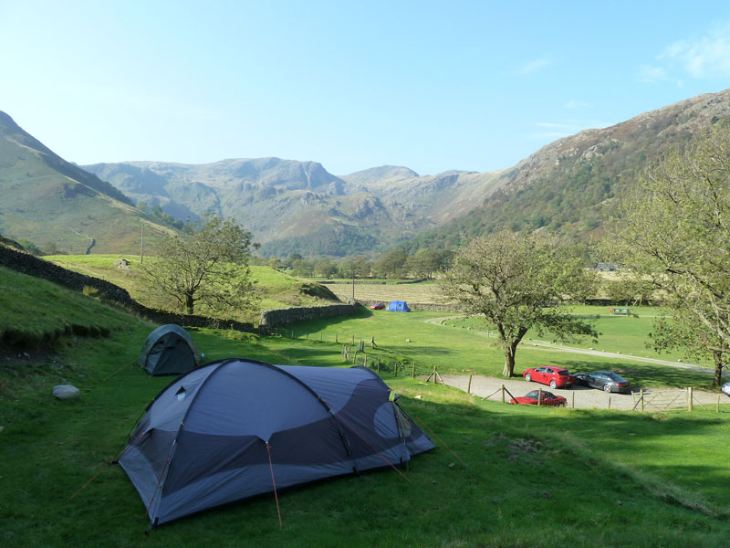
Sykeside Campsite, Brotherswater
I arrived in good time to get the pick of the pitches and chose to put my tent exactly where I did way back in March this year. You need to cart your kit up the hill, but most campers can't be bothered, so it remains quiet. Perhaps this will be the last camping of the year and this makes it the longest season for me and I've managed nights under canvas in every month from March to October (just!)
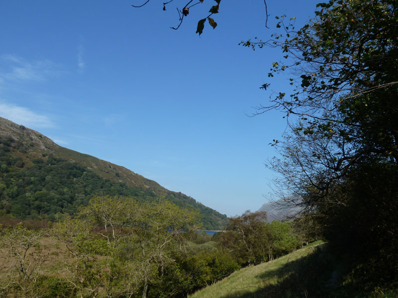
Brotherswater Walk
The Clash between the needs of the walker and the motorist has resulted in a permissive path along the shore of Brotherswater, keeping those on foot safely away from the tarmac. Look again at the photograph - can you see the Tornado? Thirty years ago they were practising for the day that Ivan meets G.I.Joe, but now the challenges lie elsewhere and it's death or glory for these guys, so training is vital.
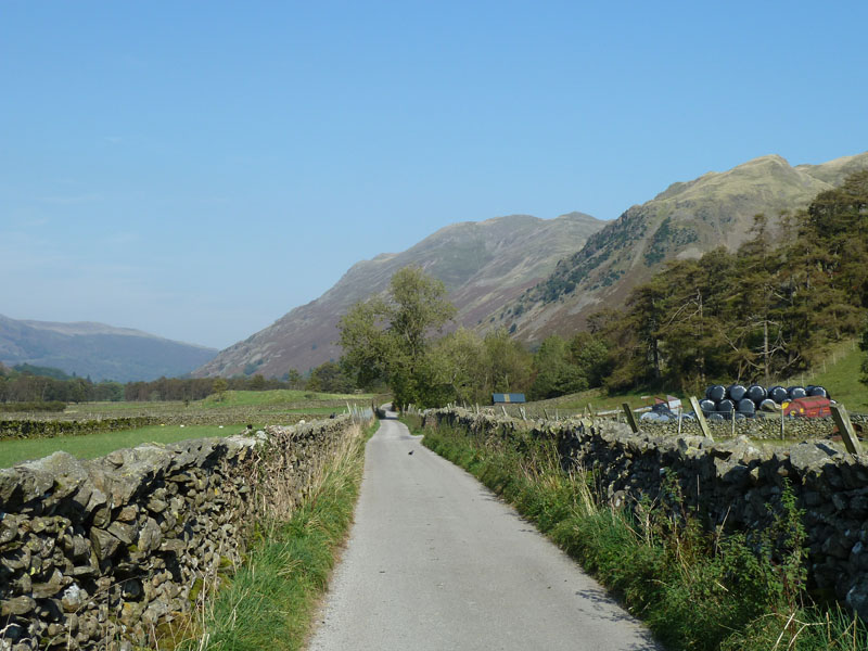
The Way Ahead
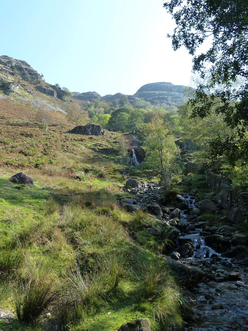
My route to Angletarn Pikes goes along this roadway as far the footbridge over Angletarn Beck. Place Fell in view.
 |
 |
Angletarn Beck |
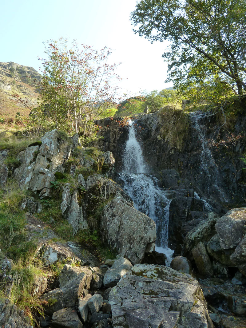
Waterfall in the beck |
 |
 |
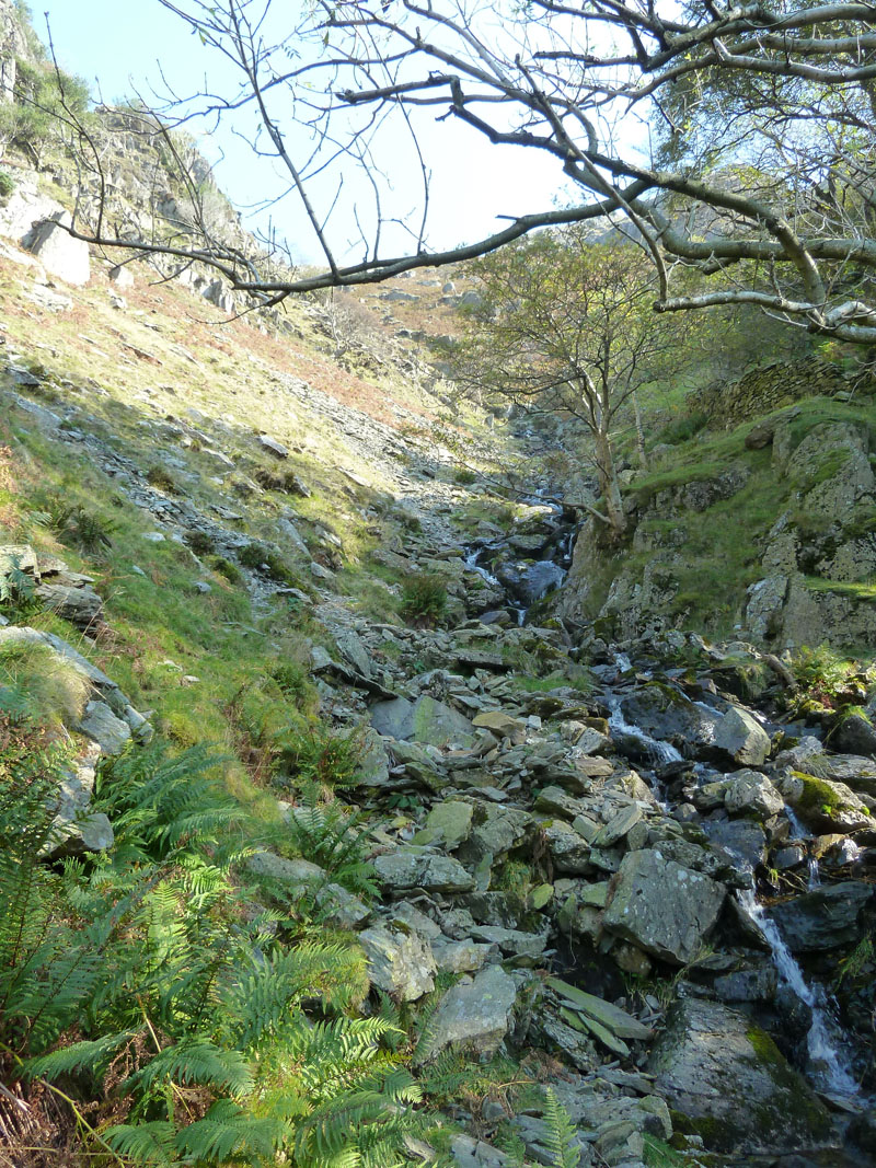
Up The Beck |
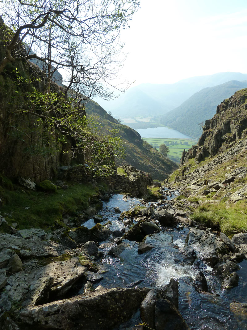
Higher Up |
Angletarn Beck
The path up the beck is steep, but easy to follow. Wainwright could not have written about every route up every fell and I think that ones like this which were excluded, are less worn by the feet of pilgrims.
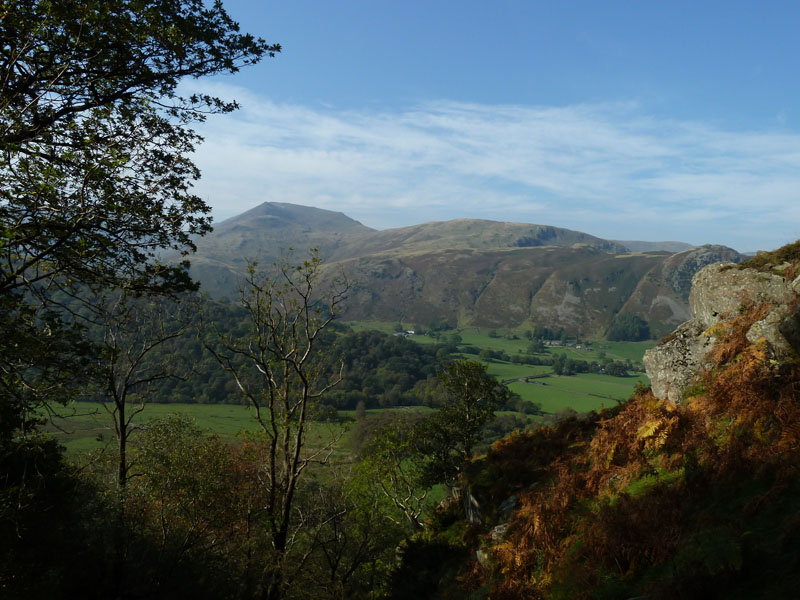
St Sunday Crag
This is a good view of the popular Arnison Crag (r), Birks (centre) and St.Sunday Crag (l, highest) walk on the other side of the valley.
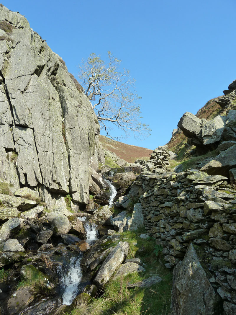
Career Opportunities?
One more time, I show you Angletarn Beck, this occasion at the tightest spot and round the corner from the main ascent. What were the job prospects for the the men of centuries ago? Wall builders? Masons? Farm Hands? It must have been the shepherd's delight to have good walls all around the fellside, where did all the stones come from?
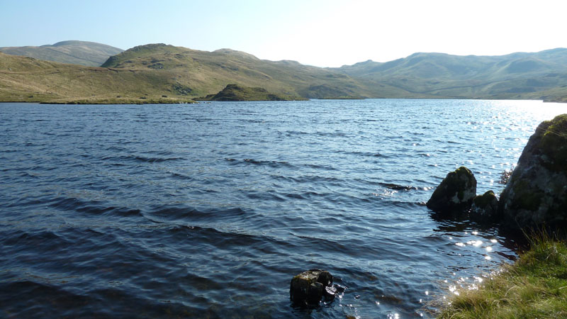
Angle Tarn
Most walkers don't visit the outflow where I'm stood. It's a little choppy today in a strong breeze.

Angle Tarn
On a clearer day the view is magnificent; seven fells on view are High Raise, Rest Dodd (nearer), Rampsgill Head, The Knott, High Street, Gray Crag and Thornthwaite Crag. Closer in the foreground to the right is Brock Crags.
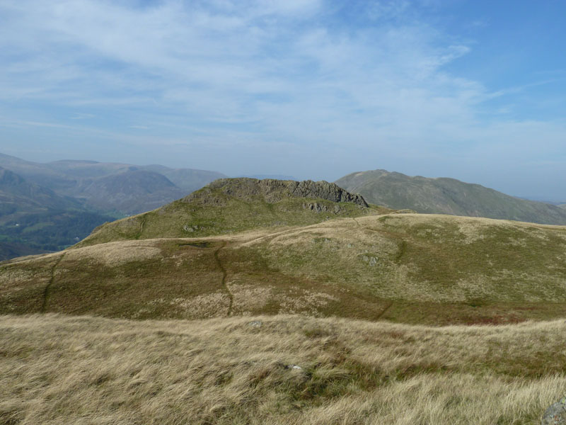
Angle Tarn Pikes
North and South tops; North (higher) is viewed here from the South. No escape! My phone rang and it was a chap from London calling, it can wait until Monday morning. Place Fell is further away.
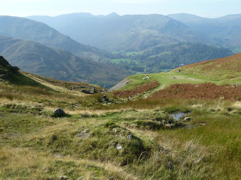
Boredale Hause
The route from Angletarn Pikes to Place Fell crosses the busy junction at Boredale Hause. Time is tight for me, so there's no waiting around and it's straight to fell number two.
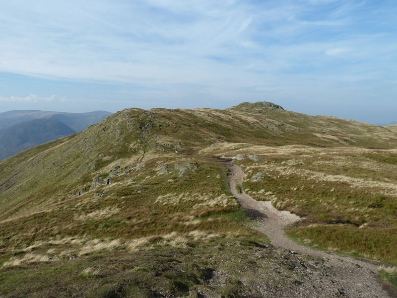
Place Fell
The path up to this point has been largely repaired and it's rather more functional rather than photogenic. But now it's pure felltop scenery of the highest order. One of my favourites, principly for the view towards Helvellyn, sadly a bit hazy today.
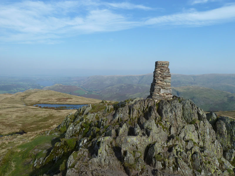
Place Fell Summit
And maybe the best situated trig point in Lakeland? I love it up here, but should I stay or should I go on my way? I met a couple from Yorkshire who were visiting this spot for the first time since 1981 and kindly took a photo of me up here, see later.
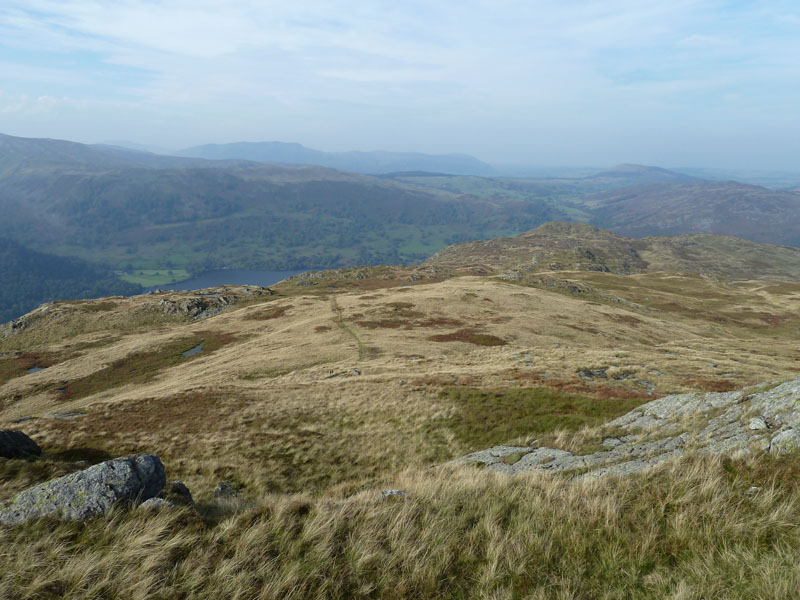
Descent Route
My descent route is across the top in a north-westerly direction to find the diagonal path down in the direction of Ullswater.
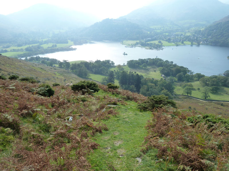
Ullswater
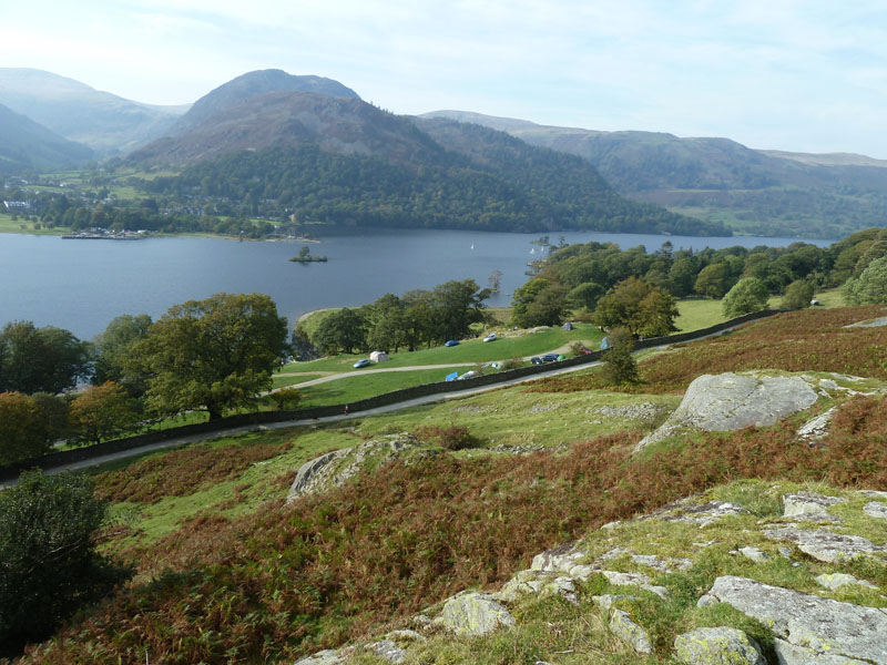
Side Farm Campsite
Nearly back at the shoreline path, but my route back to Hartsop stays above the popular path from Howtown to Glenridding.
 |
 |
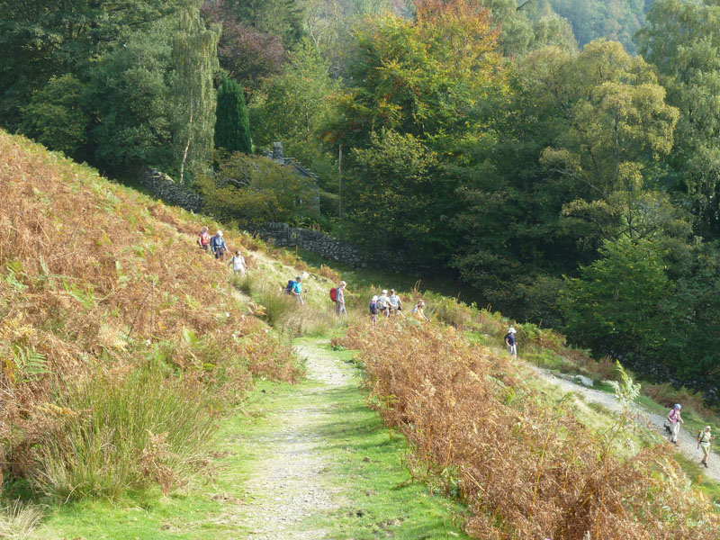
Walking Group |
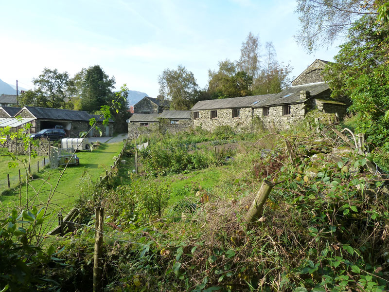
Crookabeck Farm |
It's the Ullswater Outdoor Festival and the group are on a "free walk" with the leader, a park ranger. Stay free, I say, let's hope we never have to pay to go for a walk! My route passed Crookabeck Farm on the way back to Hartsop.
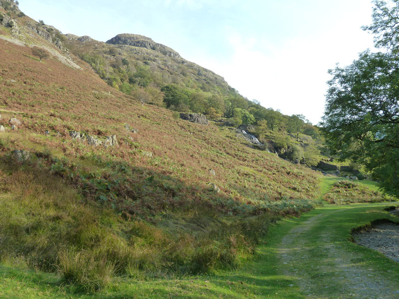
Angletarn Beck
That's the circle completed. No hangin' around, it'll be straight on to Hartsop.
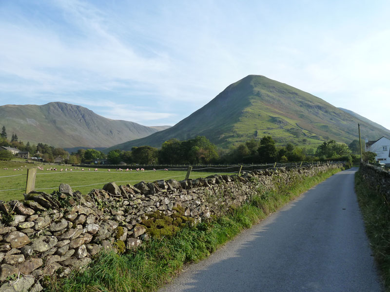
Hartsop Dodd
Hartsop Dodd has the right profile, along with the other Dodds in the area - great mountain shapes.
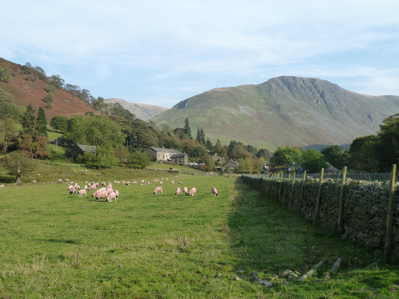
Gray Crag
Low Hartsop (village) and Gray Crag. There's so much of Lakeland in this photo, perhaps only a lake missing, which is a shame.
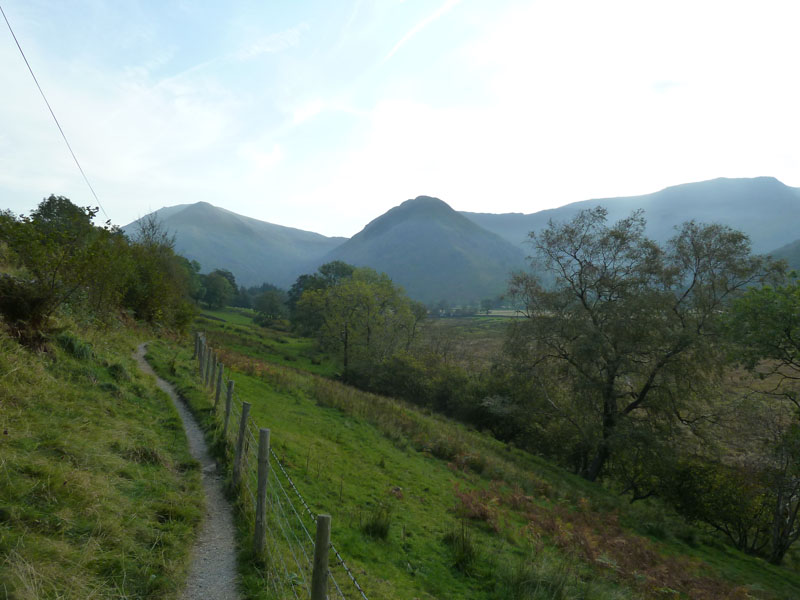
High Hartsop Dodd
Nearly back to the campsite. Visitors may have noticed a slightly different writing style in this report....
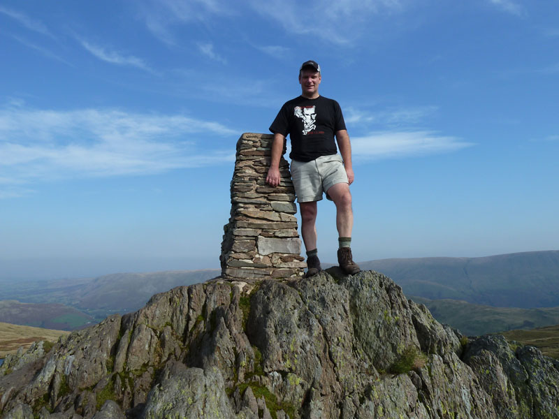
Me on top of Place Fell
He's wearing his Clash t-shirt! This coming week marks 30 years since the third and last time I went to see The Clash in concert. How many Clash song titles can you find in the text of this report? None! not to worry, each unto their own...
Walkers: Just me.
Time taken: 4hrs 50mins over a distance of about 9.5 miles.
Route: Sykeside campsite, Brotherswater, Angletarn Beck, Angletarn Pikes, Boredale Hause, Place Fell, The Knight, Ullswater, Crookabeck Farm, Angletarn Beck, Brotherswater, Sykeside Campsite.
Weather and conditions: Sunny, warm and breezy.
Greetings Count:Two on Angletarn Pike, a few at Boredale Hause and two on Place Fell, plus the immensely large group who I saw twice - once on Place Fell and again later. A few others on the way back. Great day to be out; pity those poor souls lost in the supermarket!
Richard's Refreshment Review: Nothing to report.
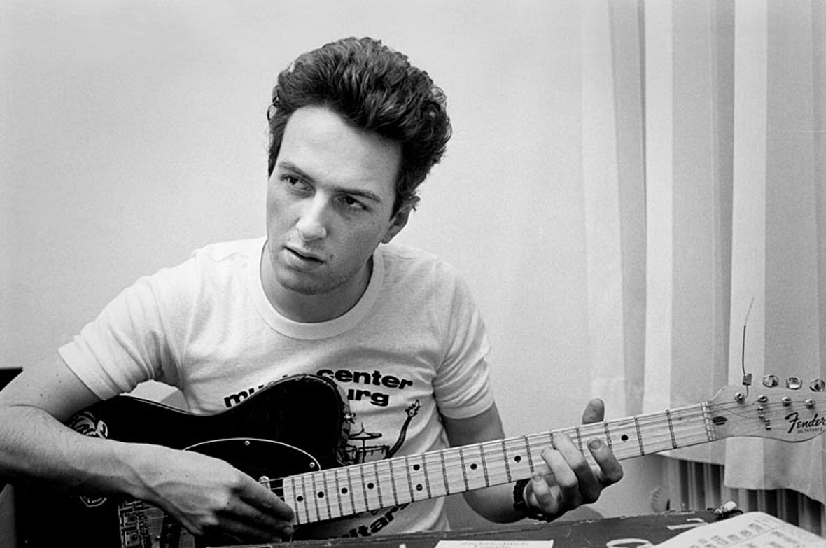
John Graham Mellor 1952-2002
Who would you have a one-2-one with?
All photos copyright Richard Ratcliffe 2011 © except the above photo of Joe Strummer
Take me back to the start ....