
~A Mardale Round~
15th January 2022
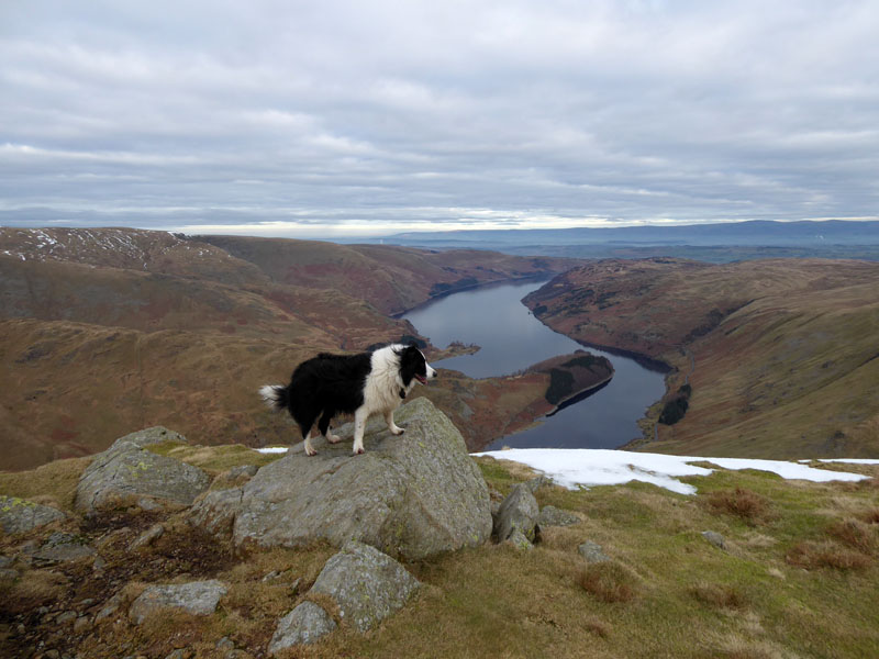
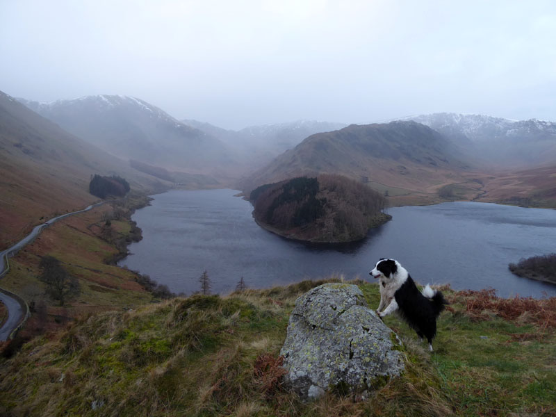
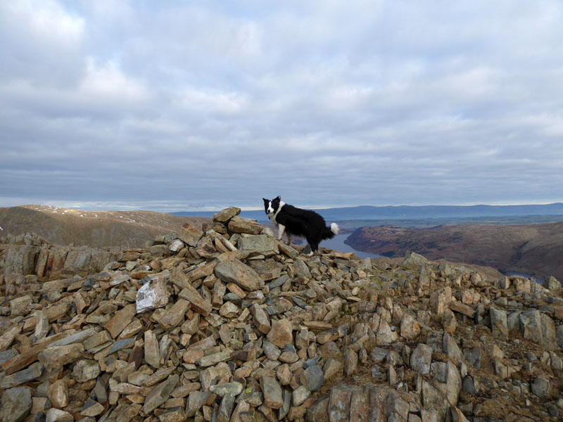
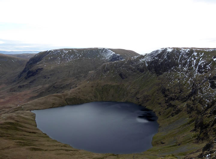
Haweswater from the third cairn, Harter Fell
 |
 |
Early Views
It's been 119 days since my last walk in Lakeland. Put another way, 17 weeks. What's that all about? Well, mainly a weather issue as usually I only look to walk up here on Saturdays and it ain't been that good. The Christmas break offered little in the way of fine days and maybe if there were any, I probably had family commitments. Maybe other reasons, I'm not going to dwell on the past.
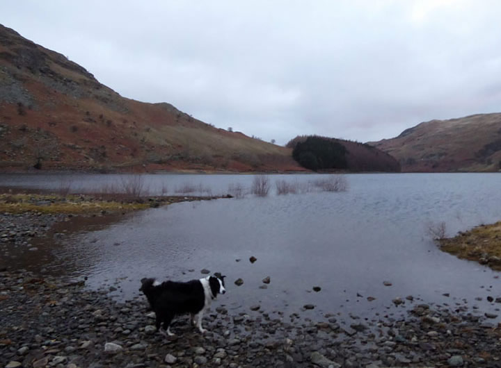
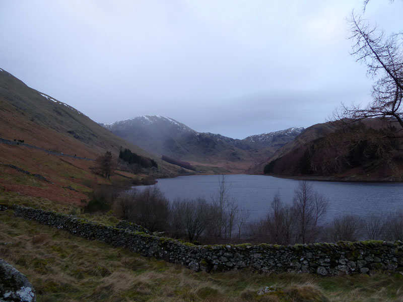
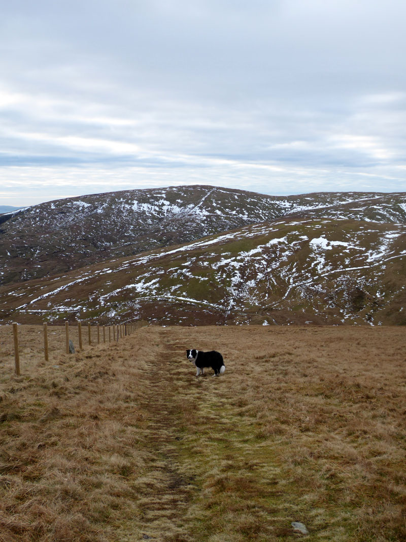
Haweswater Shoreline Path
There is a permissive path inside the boundary wall of the lake from Mardale Head along to the start of the "old corpse road" and this allows walkers to get off the road. Today's walk started at 0815hrs and there were 16 vehicles in the parking areas before I arrived.
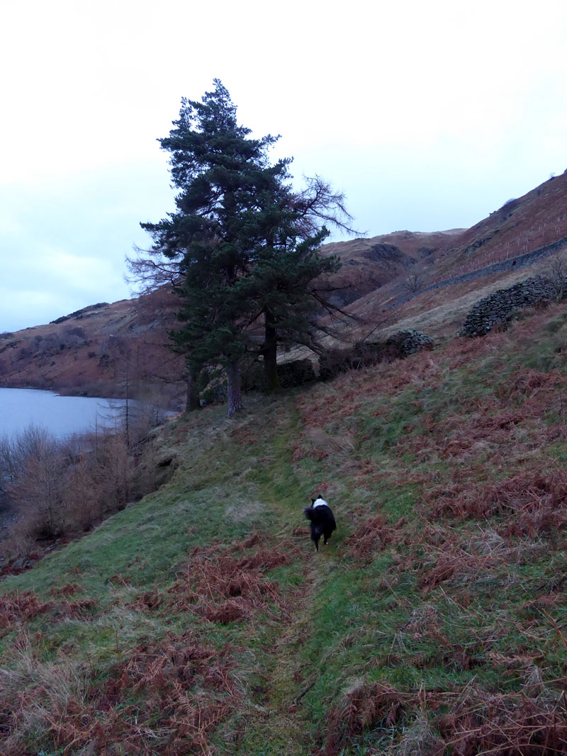
Old Corpse Road
The deceased of Mardale were carried in their coffins over to Shap for burial; the last journey being in 1736 (Wainwright Selside Pike 3). I wonder if they were unwell and looking a little peaky, they might be persuaded to try and get to Shap under their own steam?
 |
 |
On the ascent there are remains of three peat huts (left); I suppose any one of them could be upgraded to bothy-status and then (some of the) overnighters could stay and leave their rubbish all around the place.
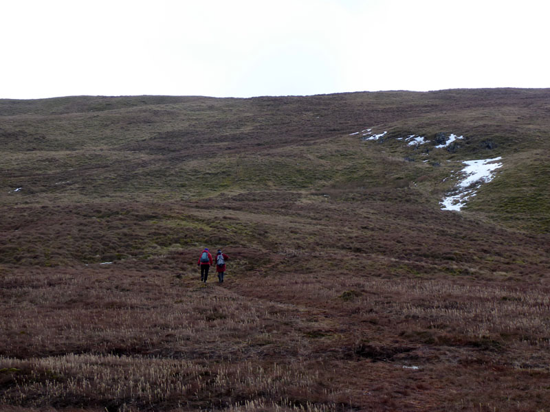
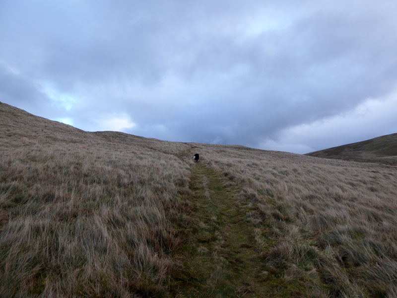
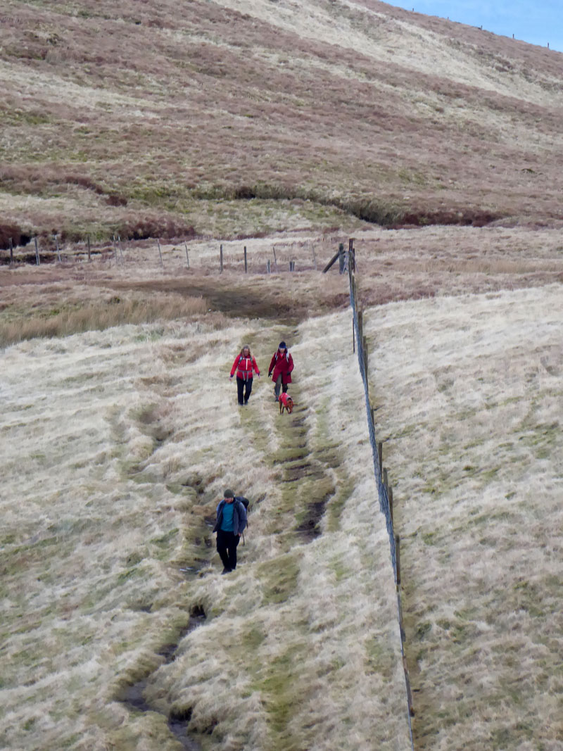
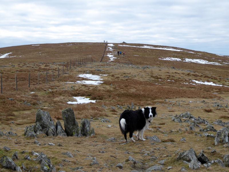
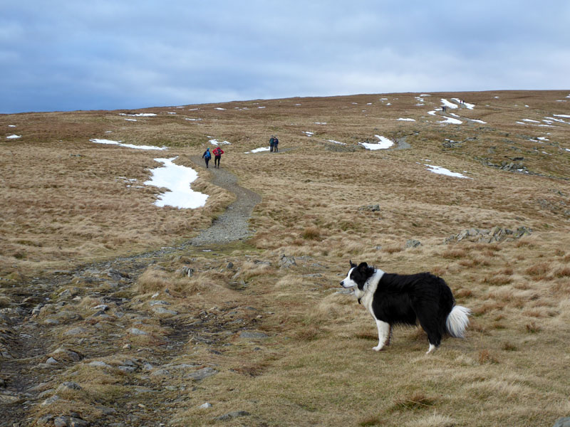
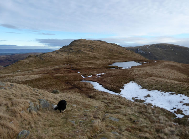
Selside End
My plan closely matched the route of these two walkers. There is a worn path departing the corpse road and cutting a corner to join the ascent of Selside Pike from Swindale Head.
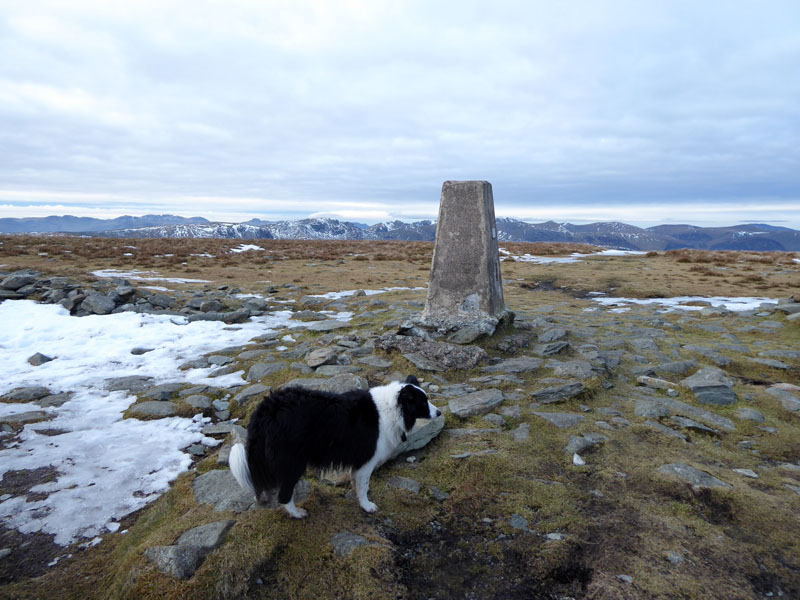
Selside Pike 2,142ft asl
This is Molly's first time up here and No.185 in her quest to reach all the Wainwright summits. As luck would have it, the two ladies joined us at the summit and we took photographs of each other...
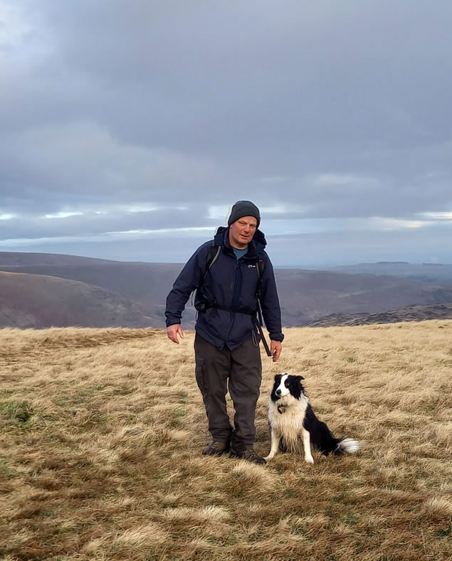
Me n' Molly on Selside Pike
As usual, all attempts bar one to get Molly to sit still and look towards the camera failed, so this was a pleasant surprise.
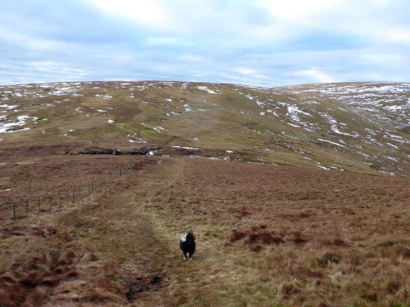
To Branstree
The start of the unremarkable walk to Branstree, including two shallow depressions and, nearest the camera, the splendidly-named Captain Whelter Bog.
Whelter Crags
There is a route up to Low Raise and subsequently High Raise up the fellside above Whelter Crags. At least someone is enjoying a little sunshine! We'll have to wait a little longer...
Looking Back
The two others from Selside Pike are making progress across the bog and another walker has also decided to head up here today.
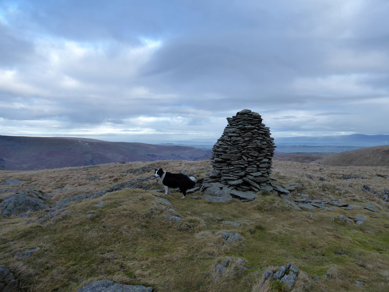
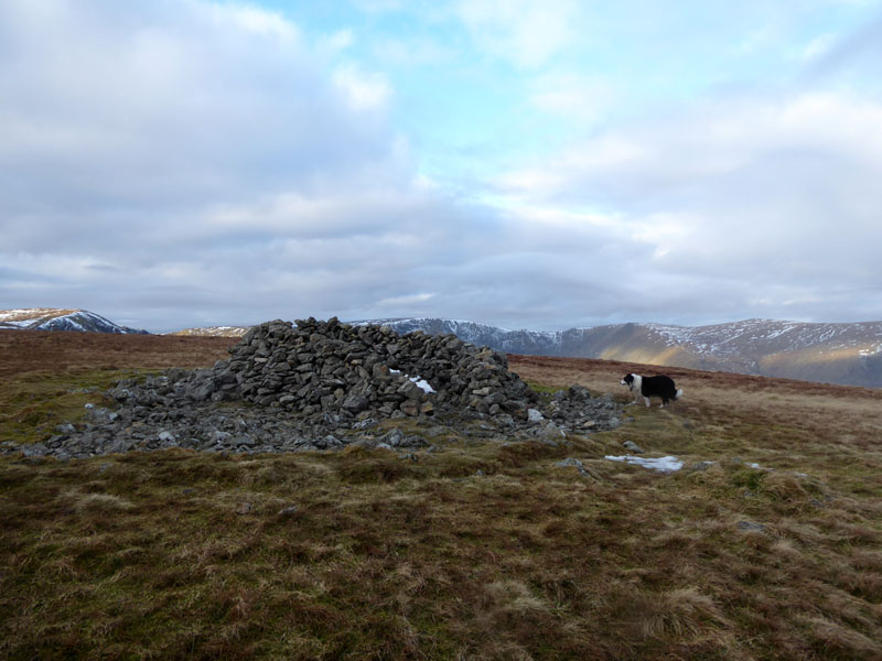
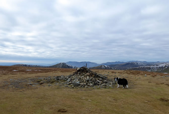
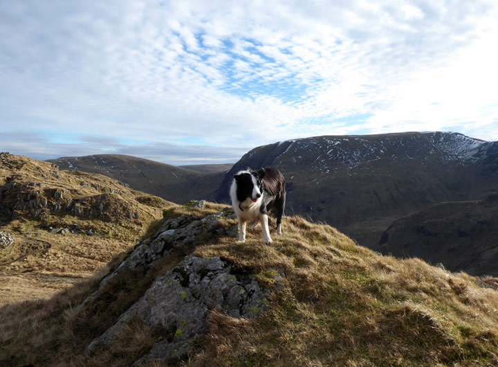
Artlecrag Pike
Two splendid cairns have been erected on Artlecrag, Molly stands close to her preferred one. This cairn features on the front cover of Wainwright's Book Two.
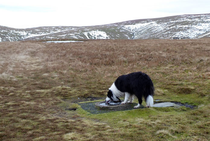
Molly ~ Branstree 2,333ft asl
I'm pleased to see the dog bowl proving very useful. No.186 and my fourth time up here, always dull and not in my top ten Lakeland felltops.
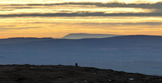
Pendle Hill from Branstree
Often on top of Pendle when the air is clear enough you can see the outline of the Cumbrian fells. This is the best view I've had of Pendle from over here. As the crow flies, it's 47 miles away. Tarn Crag is nearer and Bowland Fells get in the way of an easier drive up to these parts.
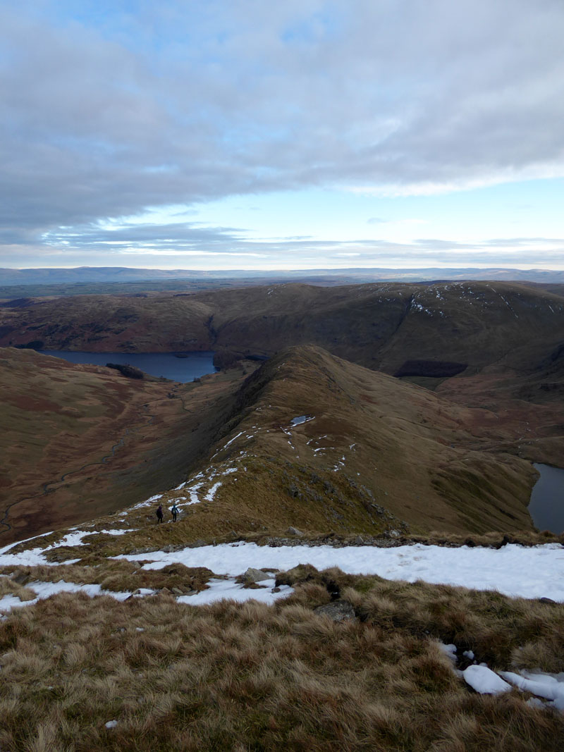
To Gatesgarth Pass
The rest of the walk had not really been planned, but it seemed like a good idea to head up Harter Fell on the other side of Gatesgarth Pass. It's only a matter of following the fence, look out for boundary stones; only a complete fool could get lost! Near the foot of the descent is a remarkably flat stone. So, I sat down, put my feet on a rock in front and took a refreshment break. This is all well and good if your on your own, but not much use if there's more than one in the party.
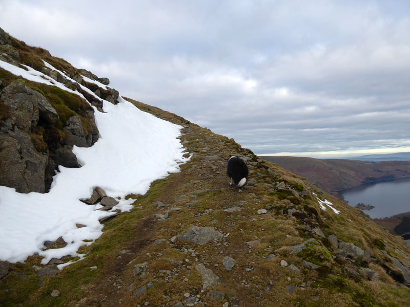
To Harter Fell
My first ever ascent of Harter Fell was in 1976. My dad brought Peter and I up to see the remains of Mardale village as the water level was very low. It left a lasting impression with me that Harter Fell was an easy mountain to climb. I've not changed my mind; if you park at Mardale Head and climb Harter Fell directly, you'll have fuel left in the tanks for plenty more.
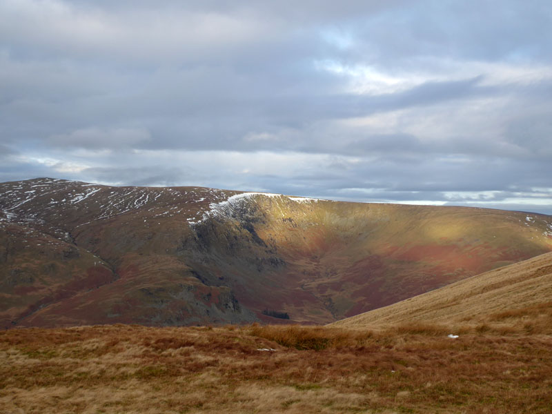
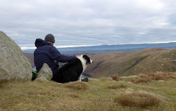
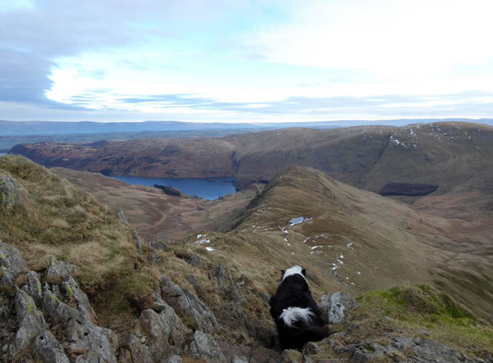
3rd Cairn Harter Fell
Wainwright opines that here is the best viewpoint of Haweswater from Harter Fell. He drew an excellent self-portrait whilst resting against this stone. Look carefully and you can find the benchmark on the big rock. I tried to do something similar....
~~~
One can only imagine he got someone else to take his photo and provide him with a print to draw from. I couldn't get the camera to a high enough elevation to capture the lake in the same photo. He might have had a tripod or a drone.
 |
 |
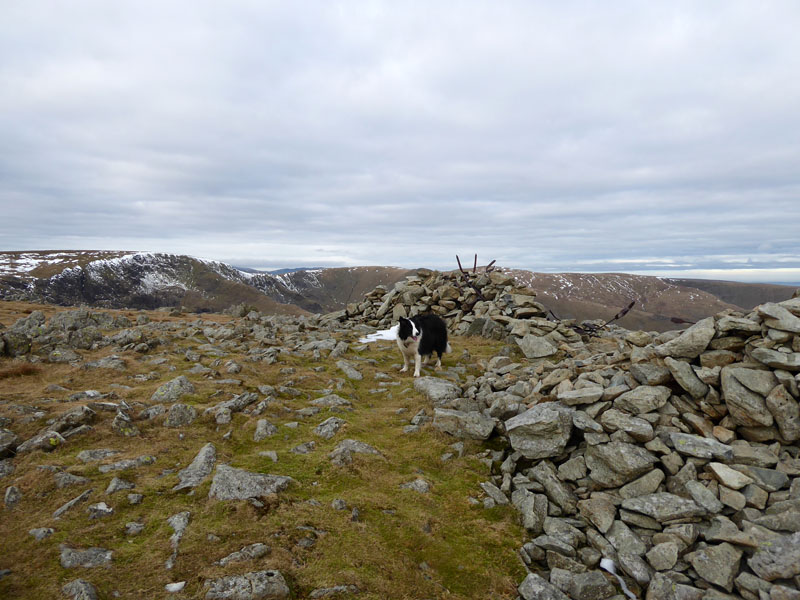
2nd Cairn |
To Harter Fell Summit |
While sunshine is at a premium up here toay, the air clarity is superb and the light winds are keeping cold away.
Molly ~ Harter Fell Summit 2,529ft asl
We head off to the top of Nan Bield Pass, plagued by a drone. These toys are often a nuisance and I don't accept that it's ok to film folk going about their everday business from whatever height or distance. Walkers in my position have no idea which direction the drone's camera is pointing.
Small Water
Easy downhill walking to Nan Bield Pass. We'll head up to Mardale Ill Bell as time is very much on our side.
Mardale Ill Bell Summit 2,496ft asl
Now this summit could make it in to my favourite ten felltops. It's a great place to be on a fine day with extensive views all around and never too many folk about. Go carefully to the north of the summit for dramatic views!
To High Street
Easy fellwalking, the reward to anyone who takes the trouble to get up here.
High Street Summit 2,718ft asl
There was quite a number of folk up here, but thankfully none in our souvenir photo. It's going to be the Long Stile / Rough Crag descent route back down to Mardale Head.
~~~
~~~
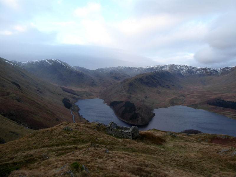
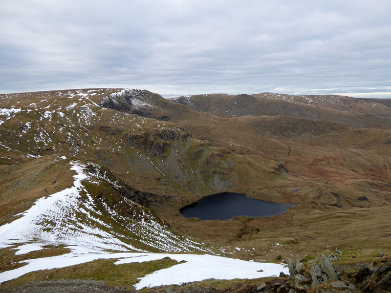
Blea Water
Caspel Gate
~~~
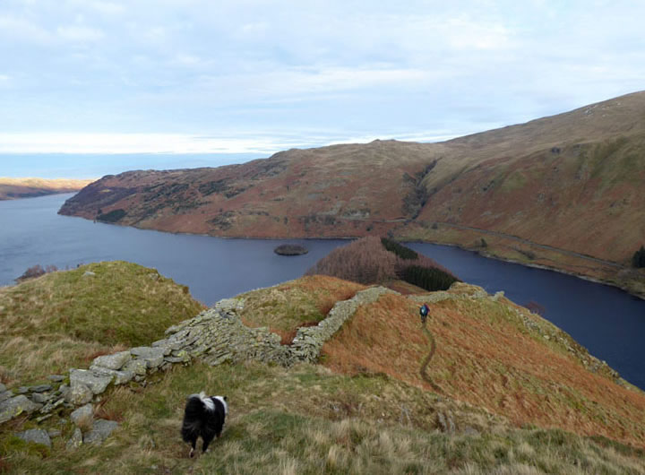
The walk continues downhill and heads all the way to The Rigg before doubling-back along the shoreline to Mardale Beck.
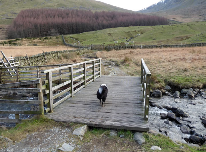
Mardale Beck Footbridge
Walkers: Molly and Me.
Time taken: 6hrs 45mins over a distance of about 12.5 miles.
Route: Mardale Head car park, shoreline path along to the foot of Rowantreethwaite Beck for the Old Corpse Road up to a point where the path levels out a short cut leads to the Selside Pike ascent from Swindale. Selside Pike, Artle Crag, Branstree, Gatesgarth Pass, Harter Fell, Nan Bield Pass. Up to Mardale Ill Bell, gentle climb to High Street, Long Stile, Caspel Gate, Rough Crag, Swine Crag, The Rigg and shoreline return to Mardale Beck and the car park.
Weather and conditions: Dull start, slowly brightening all the way until a little sunshine on Rough Crag. Generally light winds, but much breezier on the descent route over Rough Crag.
Refreshments: Tea and biscuits back at the car. There were about 50 cars at Mardale Head by the time we got back, many on the roadside.
All photos copyright Richard Ratcliffe 2022 ©
Take me back to the start ....