
~Hartsop Dodd & Caudale Moor~
2nd April 2022
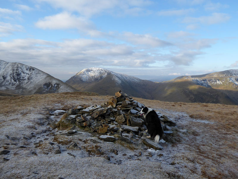
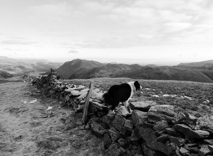
Molly on top of Hartsop Dodd
 |
 |
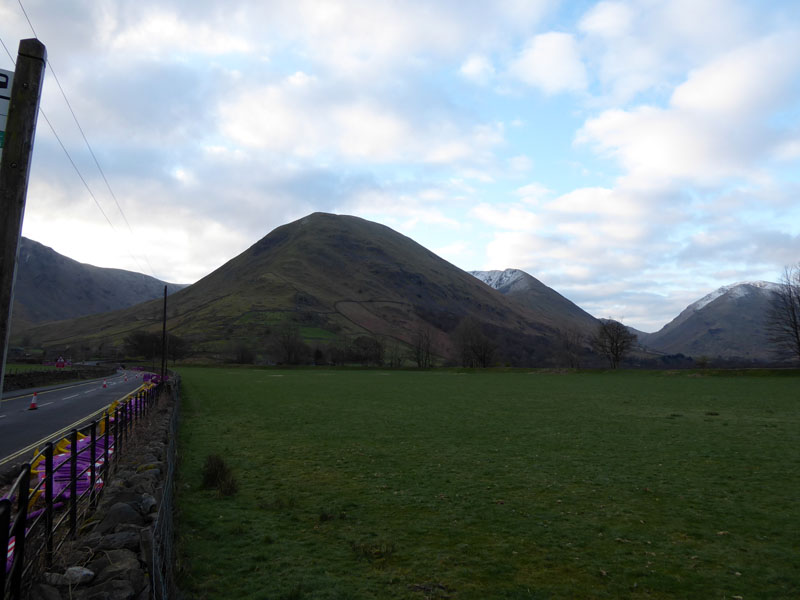
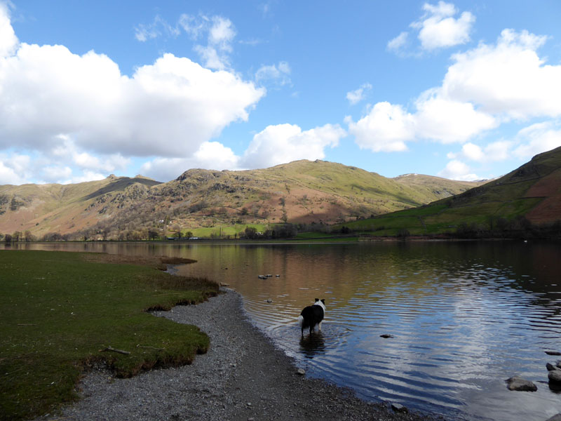
Cow Bridge Parking
Arrival at Cow Bridge at 0715hrs for a hike up Hartsop Dodd (left). The plan was to follow the first fell with Stony Cove Pike on Caudale Moor and, all being well, drop down to Kirkstone Pass and ascend Red Screes for a return down one of the fells thereafter.
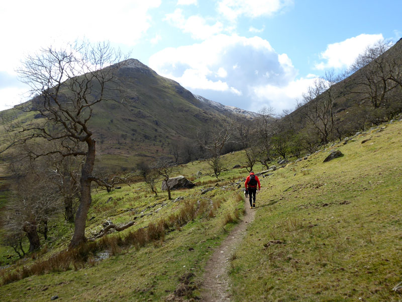
On our Way
It was news to me that you cannot follow a path marked on Wainwright's map and have to walk further round to join the path up from the Hartsop car parking area. Maybe I should buy a revised version of Wainwrigh's Book....I think not! Or perhaps I should just spend more time reading the OS map before setting off.
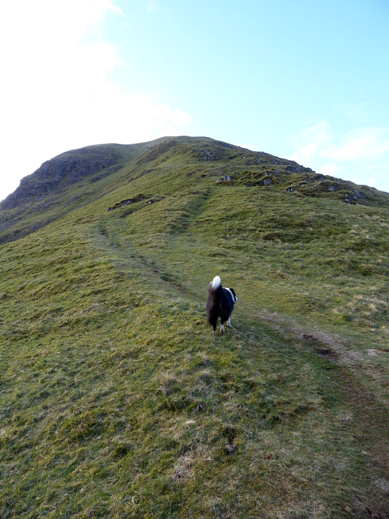
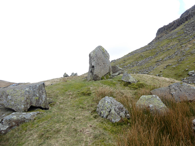
Up Harstop Dodd
As viewers might know, there are several steep ascents of a similar nature from the Hartsop / Brotherswater area. I've done them all would be happy to climb them all again, it's much more fun than counting a fell as climbed when instead you walk down them from a higher fell behind.
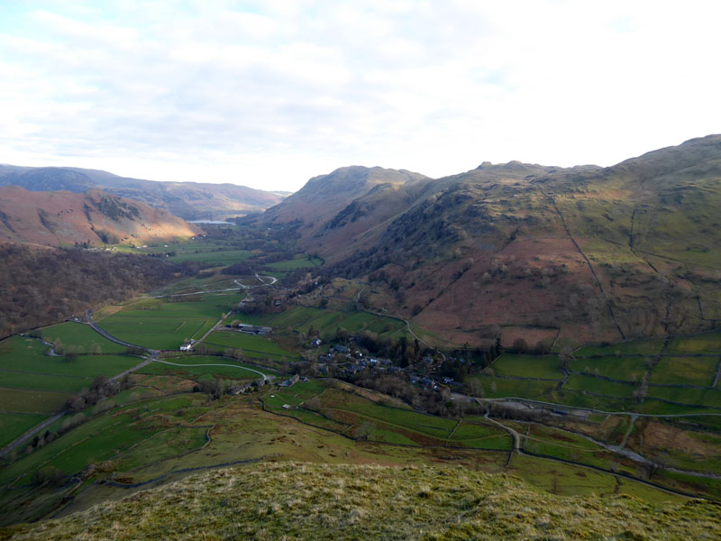
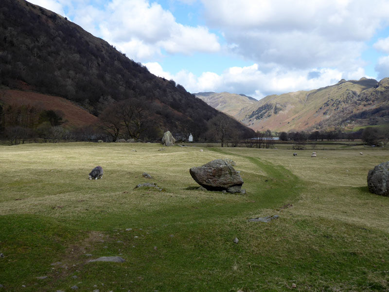
Hartsop
"They" are re-routing the water in part of Goldrill Beck between Brotherswater and Patterdale. This is to ease the flood risk to farming and local communities. This is a correction of the watercourse after previous straightening.
 |
 |
Dove Crag |
Hartsop above How |
In the centre of the "Dove Crag" photo is Priest's Hole where wild campers sometimes spend the night. Last time I had a look in it was an untidy mess with discared drink and food packaging. The fencepost points to the top of Hartsop above How with Fairfield further away.
Place Fell
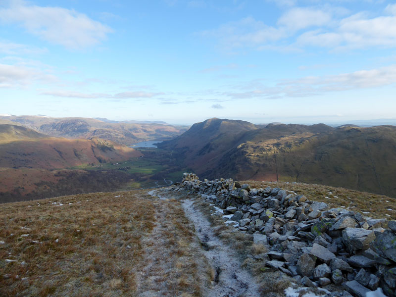
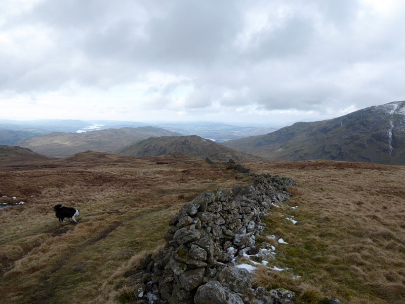
Once the wall is reached, the top of Hartsop Dodd is not far away. Place Fell rises to the east of Ullswater.
~~~
This is not quite the summit of HD, but Molly considers it good enough for a top-pose. Red Screes looks very appealing in the sunshine.
The Summit of Hartsop Dodd 2,018ft asl
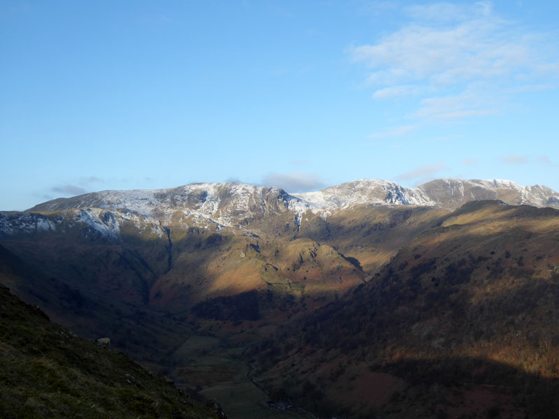
To Stony Cove Pike (Caudale Moor)
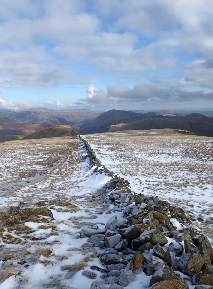
Looking Back
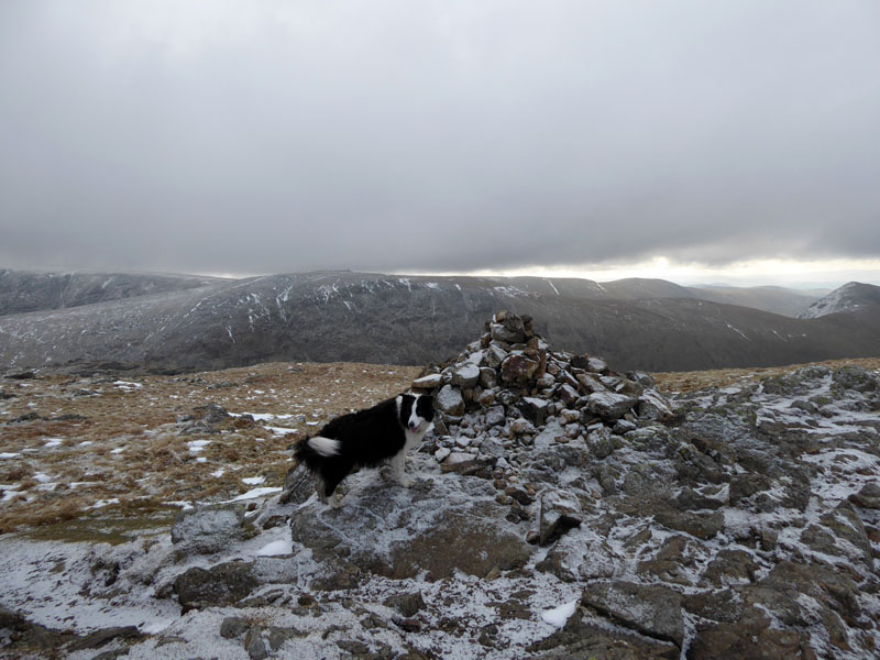
Molly on top of Stony Cove Pike 2,502ft asl
SCP is the summit of the large expanse of fell known as Caudale Moor and titled as such in Wainwright's Book Two.
 |
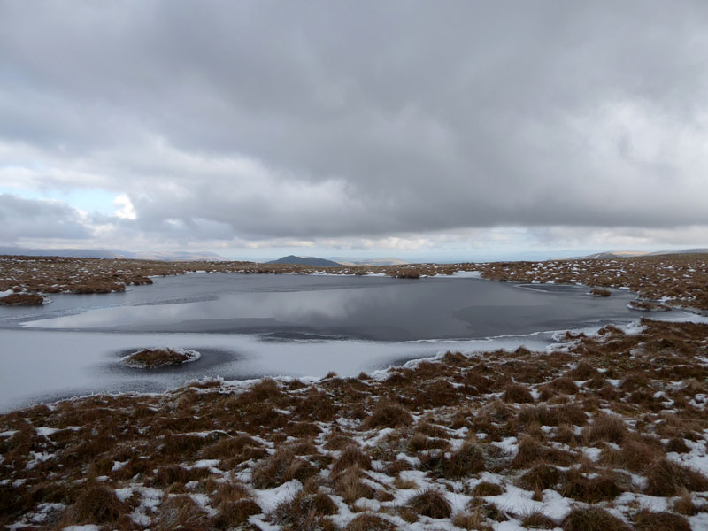 |
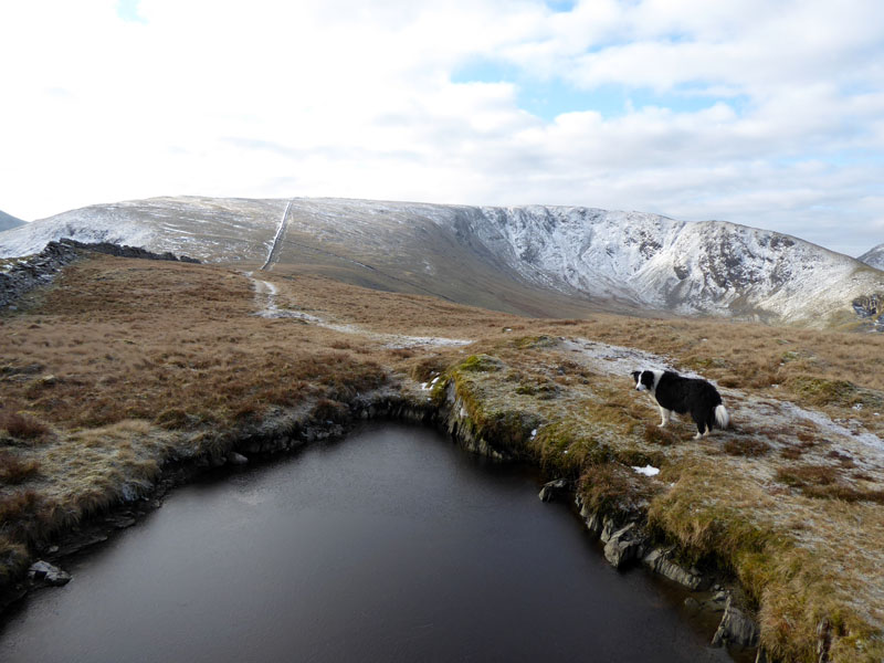
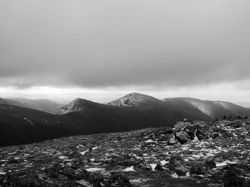
Ill Bell |
Tarn on Caudale Moor |
Ill Bell is shown in B&W here as looking south offered only poor views with the low cloud and general dullness. Another cairn rests near the tarn and offers little other than a map reference point.
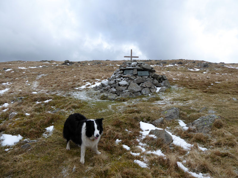
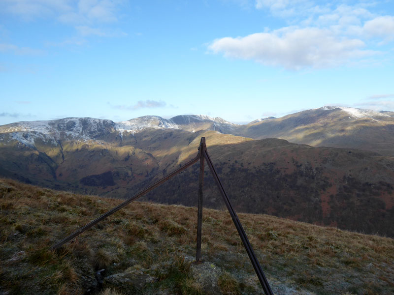
Mark Atkinson's Monument
It's 2.5 miles from the summit of Caudale Moor to the top of Kirkstone Pass, more than I imagined when considering this walk.
 |
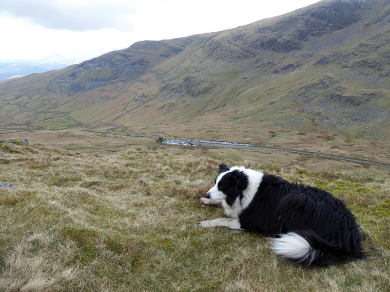 |
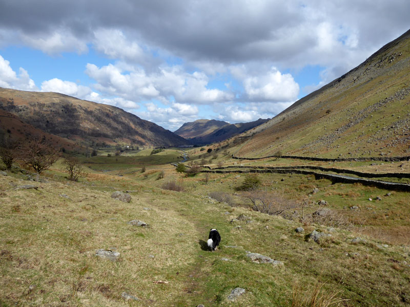
The walk down to Kirkstone Pass involves a hike over St.Raven's Edge (left) and upon the top of such, me n' Molly take a breather and consider the merits of ascending Red Screes or descending Kirkstone Beck.
To Kirkstone Pass
The sun comes out and we have made our minds up to give Red Screes a miss. It would have been another 1,100ft of ascent and added a few extra miles to the walk. A year or two ago, we would have not given it a second thought, but now Molly can be quite stiff after the longer walks, so we'll take it easy today.
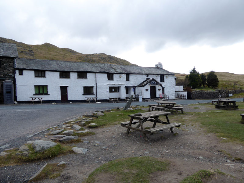
Kirkstone Pass Inn
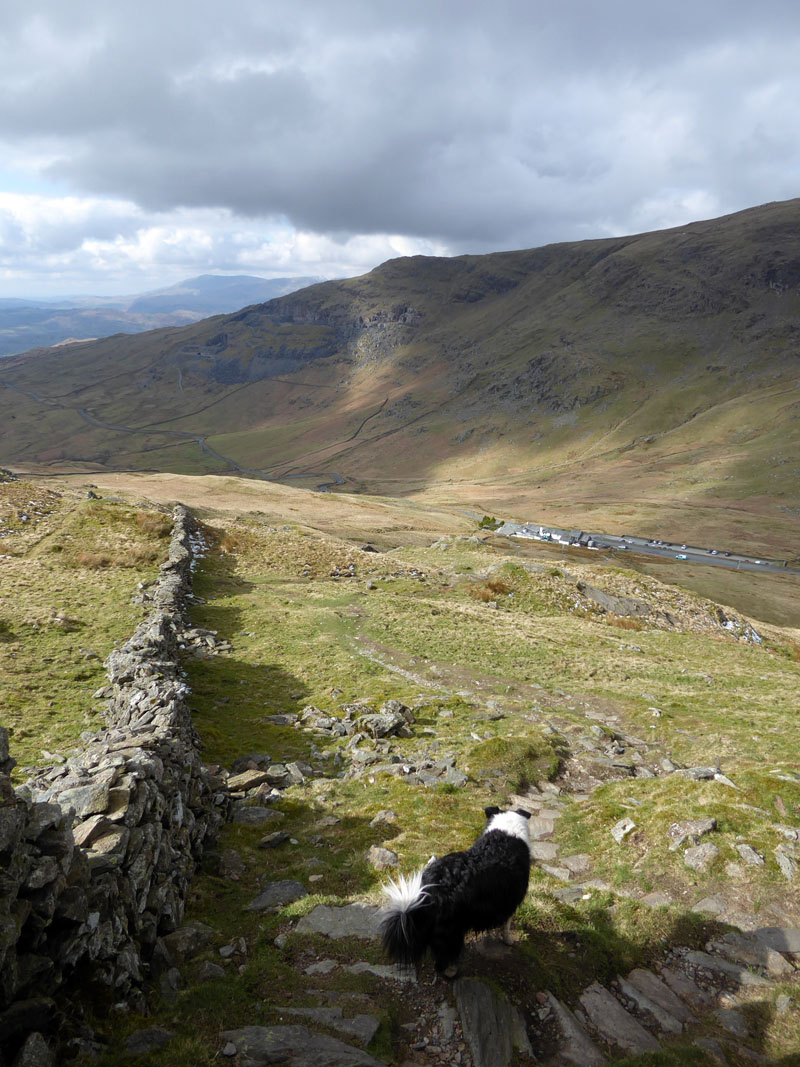
It's 11:15hrs and we are on our way back to the car, many others are parking up here and starting their walk. There's an invitation to pay £3 to park here for the benefit of the Lake District National Park. I "people-watched" two cars arrive and neither set of occupants thought it necessary to pay. A cup of coffee costs somewhere around £3 nowadays.
The Kirkstone
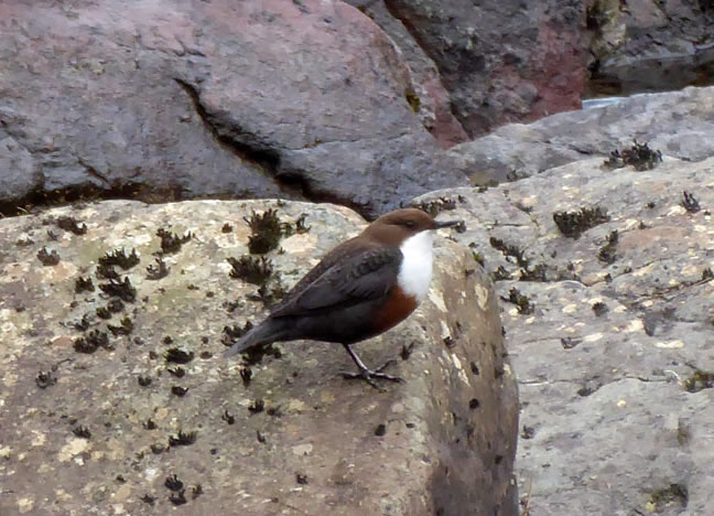
Dipper
The dipper stayed still long enough for me to get the camera set up on a gatepost and fire away. Possibly nesting nearby and carefully watching us.
Kirkstone Beck
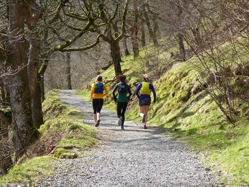
This is really fine walk down the valley on a permissive footpath. It's easy to get confused on where you are permitted to walk...the whole area is "Open Access", maybe the permissive footpath pre-dates Open Access. I have the opinion that is always better to walk on footpaths rather than to go wandering around just because it's Open Access land. Such helps to protect the landscape and prevents disturbing wildlife and ground-nesting birds.
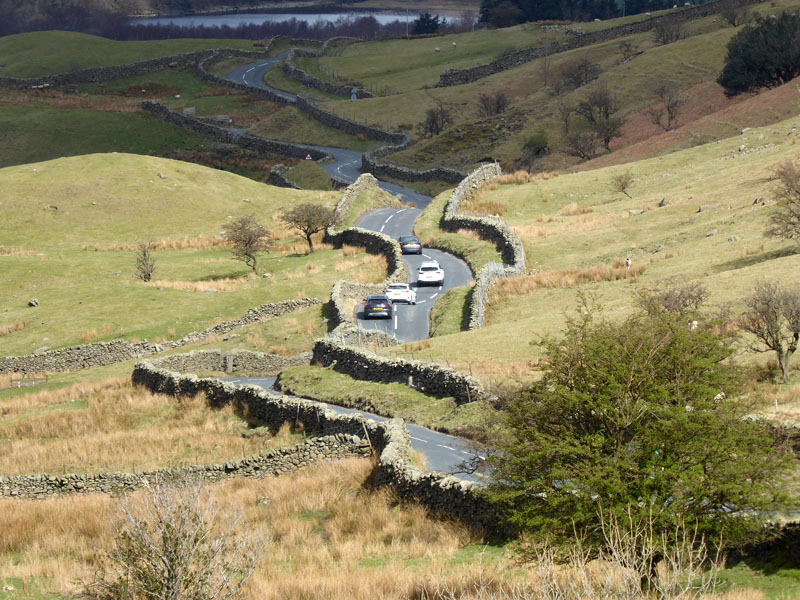
Undulating and Windy Road!
It's a great bit of road for sports cars!
 |
 |
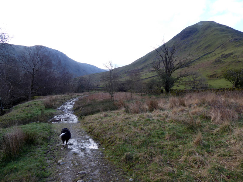
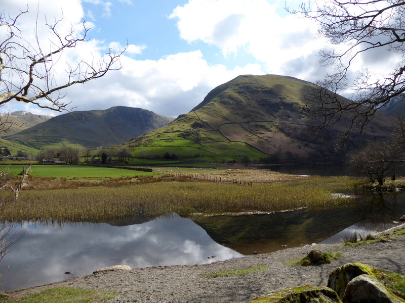
A man and his dog head up Caiston Beck to Scandale Pass. The flat landscape of farmland on the approach to Hartsop Hall is the site of an ancient settlement.
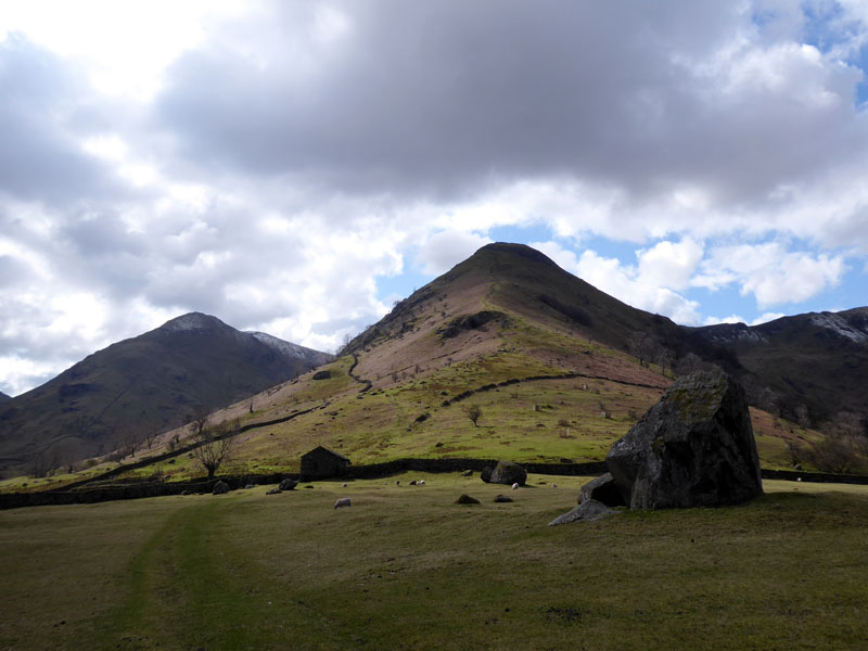
High Hartsop Dodd
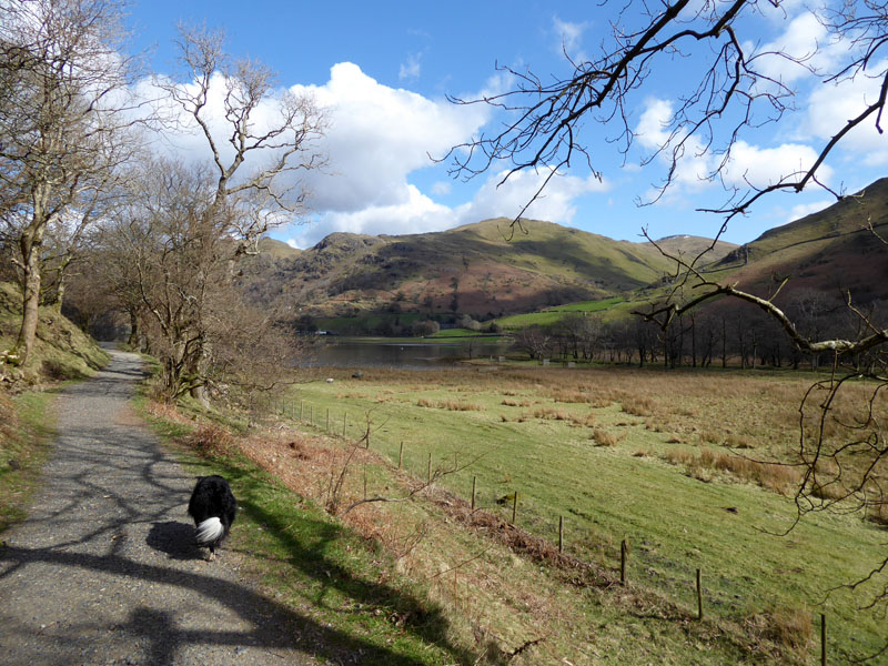
Brotherswater Footpath
After passing Hartsop Hall we continue onto the footpath which runs along the foot of the ridge of Hartsop above How.
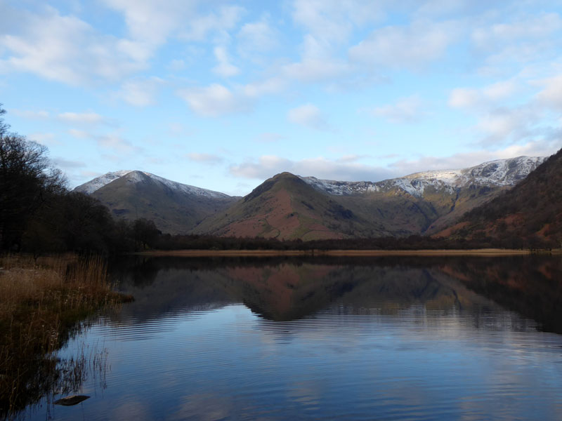
Paddle-time in Brotherswater. Molly looks across at Brock Crags and awaits a ball throw.
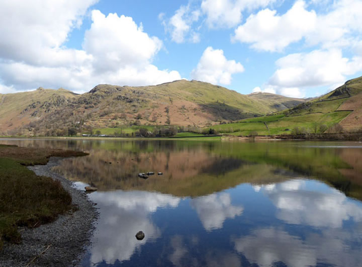
Brock Crags
~~~
Hartsop Dodd
Walkers: Molly and Me.
Time taken: 5hrs 10mins over a distance of about 9 miles. Back at the car for 12:55hrs and home by 15:30hrs.
Route: Cow Bridge Car Park (£3 to LDNP), along the road and down to Brotherswater before doubling back to Hartsop hamlet for the popular route up Hartsop Dodd to the summit. Ridge route to Stony Cove Pike. The tarn and the other cairn, Atkinson's Monument, Pike How, St.Raven's Edge and down to Kirkstone Pass. Kirkstone Beck to Hartsop Hall and back to the car.
Refreshments: Tea and Tiffin back at the car.
Weather and conditions: Cool with sunny intervals most of the way, just a bit gloomy on top of Caudale Moor.
Photos copyright Richard Ratcliffe 2022 ©
Take me back to the start ....