
~Scoat Fell to Yewbarrow~
29th August 2020
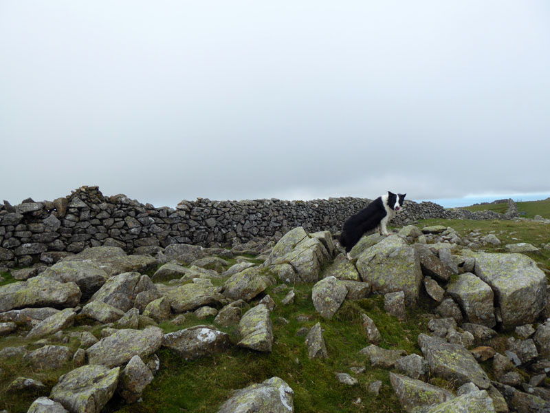
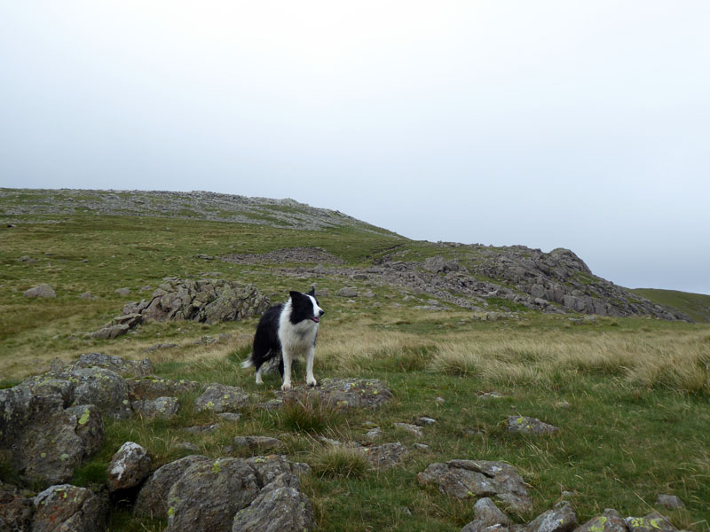
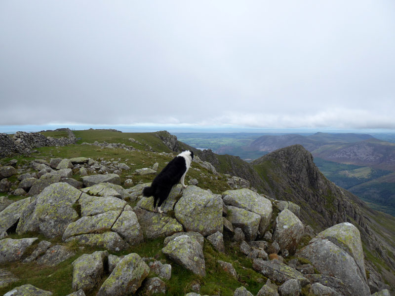
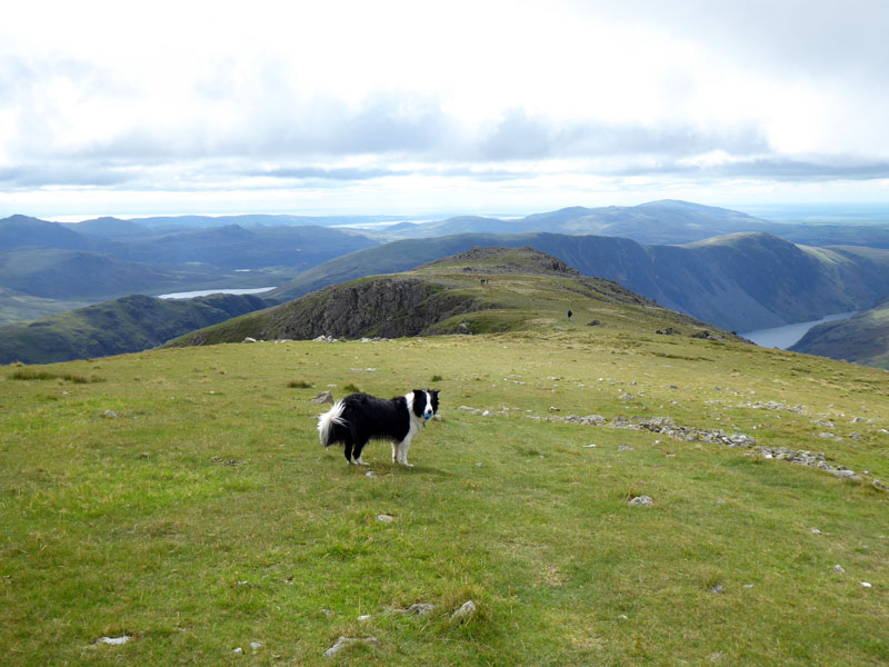
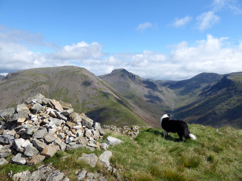
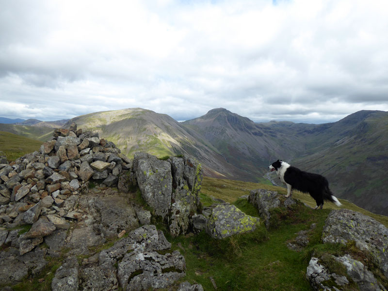
Molly at Scoat Fell Summit
 |
 |
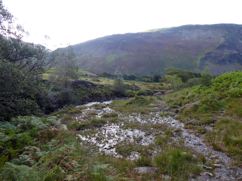
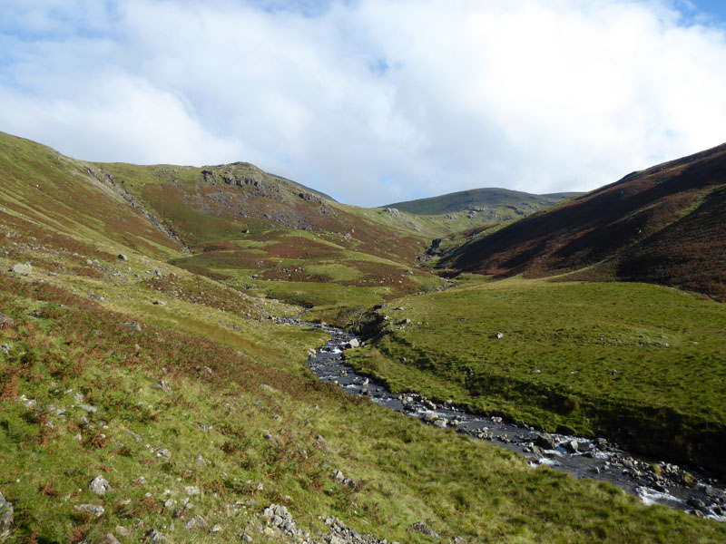
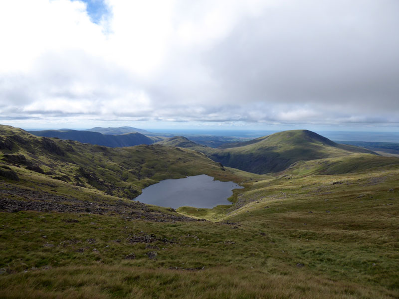
It is more than four years since I have opted for a day trip to Wasdale. It's 110 miles and took 2hrs 15mins from home with a short break at Burton-in-Kendal services on the M6 on the way (not included in the travelling time). Parking at Overbeck Bridge is courtesy of National Trust and donations are welcome. Two, maybe three vehicles in the car park had been, contrary to the rules, overnight residents. Given the freeloading attitude of these folk, it is unlikely they put even a penny in the collection box. We are heading for Netherbeck Bridge for an ascent of Scoat Fell via Nether Beck.
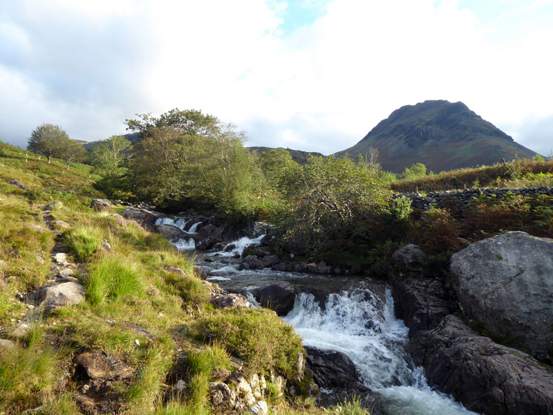
Nether Beck
The plan was clear, ascend Scoat Fell and then move on to Pillar and Kirk Fell. Forecasters warned of cool northerly winds on the tops in excess of 25mph and wind chill contributing to a "feels like" reading of -5C at 750m. It's August, it's still summer, no problem!
 |
 |
Waterlogged |
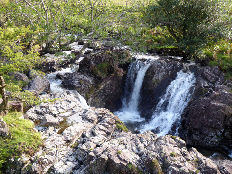
Nether Beck Falls |
Last time, I left my boots in Troutbeck. This time, I lost my footing on wet rocks (left) and one boot went under water resulting in a wet sock - great way to start the walk! Boot off, sock off, towel out of the rucksac...foot dried, wet sock back on and boot re-footed and off we go. I soon forgot about it. Some splendid waterfalls in Nether Beck. You can walk close to the water for a while before rejoining the main path.
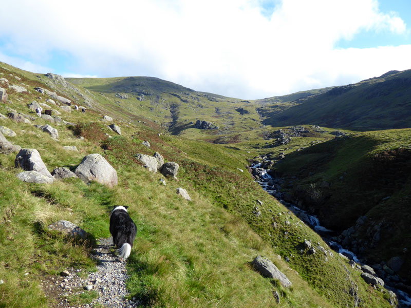
Stool
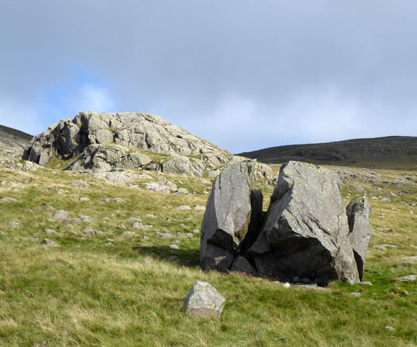
Ahead, Stool is the minor peak, and we follow the beck for a good while yet. It's a great route with boulders all around, some fallen from the flank of Middle Fell and some carried down the beck by glacial action and post-glacial flooding.
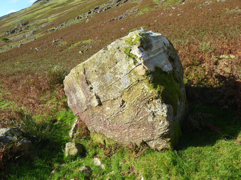
Boulder
Scoat Fell is one of less than 20 "Wainwrights" which I have yet to climb directly i.e. not via a ridge route from another fell. Apart from the personal challenge, it is great way to discover routes missed out first time round and learn more about the fells and their "Natural Features" - always the first few paragraphs in each fell chapter by AW. "Scoat Fell has no fan club and few devotees...yet Scoat Fell triumphs over its disabilities, and provides magnificent mountain scenery on all sides."
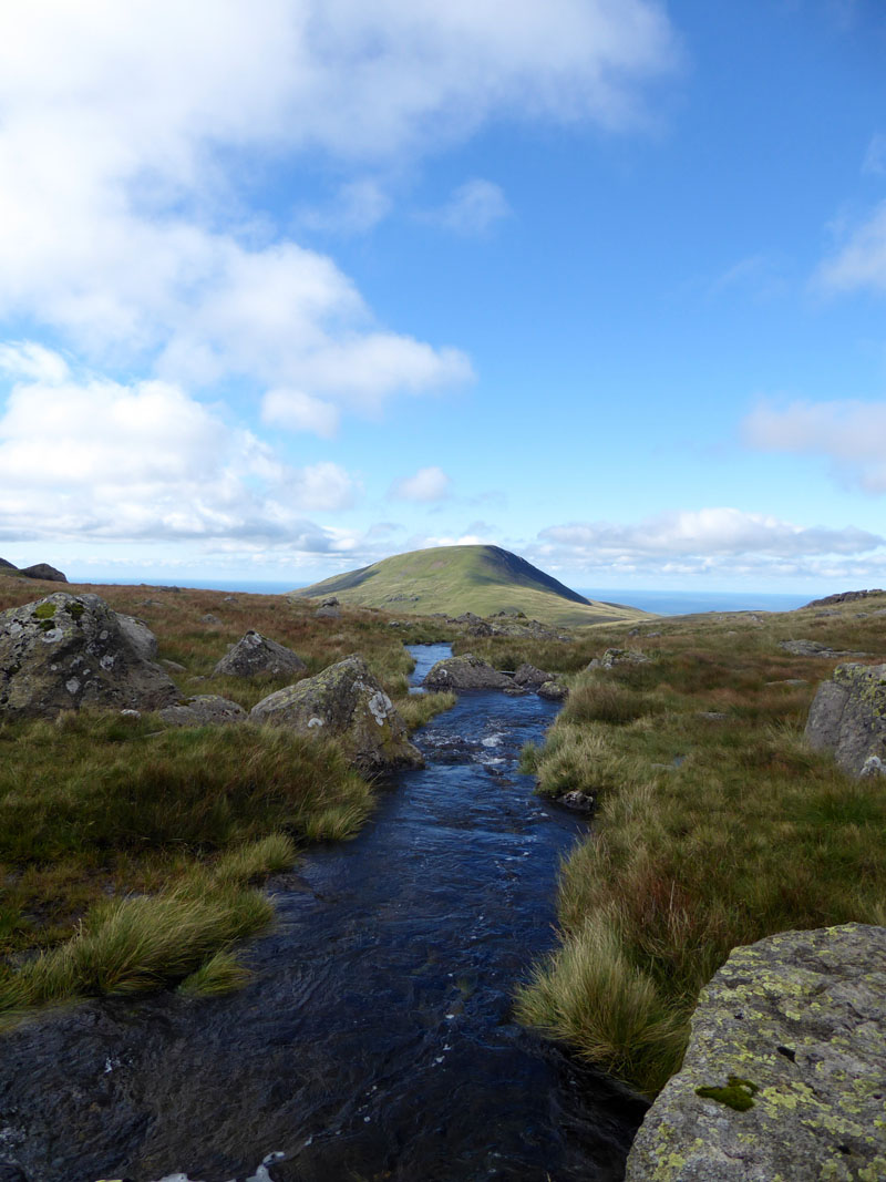
Ladcrag Beck
Ladcrag Beck descends in to Nether Beck from the north-west, we carry on up the latter and will do until we find Scoat Tarn, following the watercourse to the right of this photo.
~~~
 |
 |
Middle Fell and Seatallan |
Upland Tree |
Looking back to Middle Fell (left) and Seatallan (right). An lonely upland tree has Haycock for company.
Split Boulder
Scoat Tarn Outflow
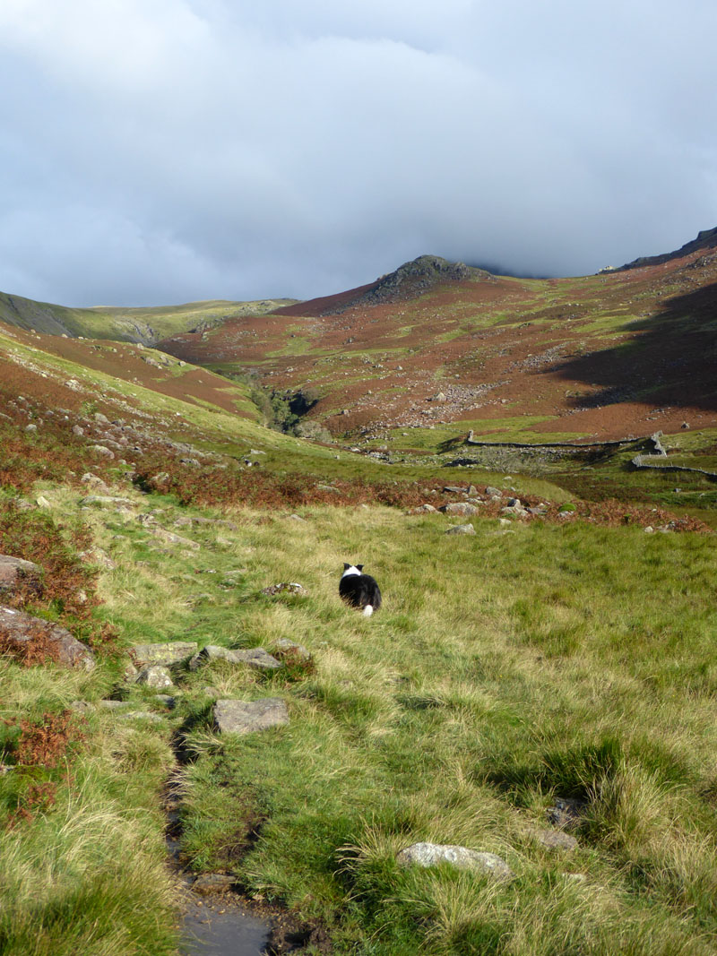
With time on our hands / paws it was decided to walk around Scoat Tarn and maybe find a little shelter from the cool breeze.
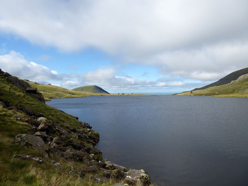
Scoat Tarn
On the far side of the tarn from this position are three boulders and one weather station. Seatallan is prominent and the Irish Sea levels off the horizon. It is far less windy just here.
Scoat Tarn
The ascent route to the col between Red Pike and Scoat Fell follows the line of a long-discarded and now derelict fence. The weather is subtly changing from mainly sunny, to mainly cloudy and the wind speed is increasing.
 |
 |
Scoat Fell Ascent Route |
To Scoat Fell Summit |
I'd long since put my coat on and my legs were ok in shorts but my hands were getting a little cold.
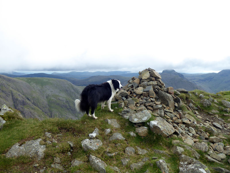
Molly on top of Scoat Fell 2,760ft asl
It is not easy to determine exactly the highest natural ground, the wall takes the height of the fell up a little. Not a lot has changed since our last visit up here, on a walk up from Ennerdale in 2016.
 |
 |
Rubber in 2020 |
Tennis in 2016 |
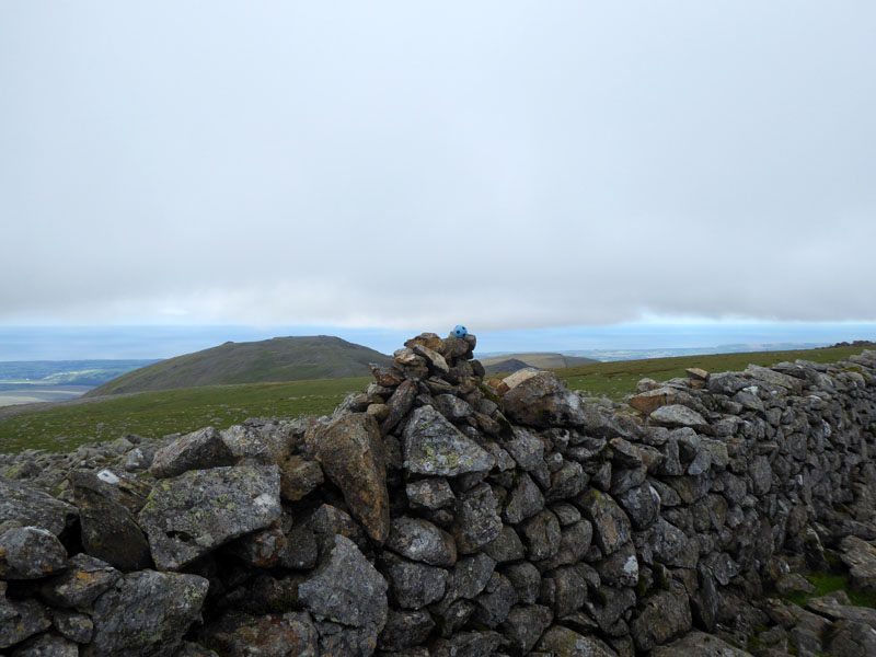
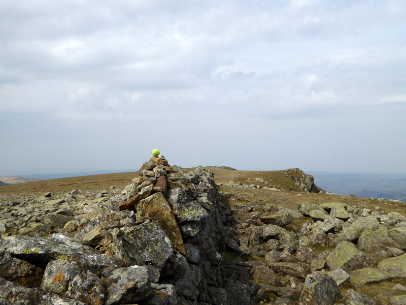
Balls...the rubber ones bounce better and therefore go further. Steeple belongs to Scoat Fell, but is generally treated as a separate fell; I think I am done with wandering across to Steeple from Scoat Fell and claiming an extra fell on the walk, maybe I just need better weather, but on this occasion, Steeple is left alone.
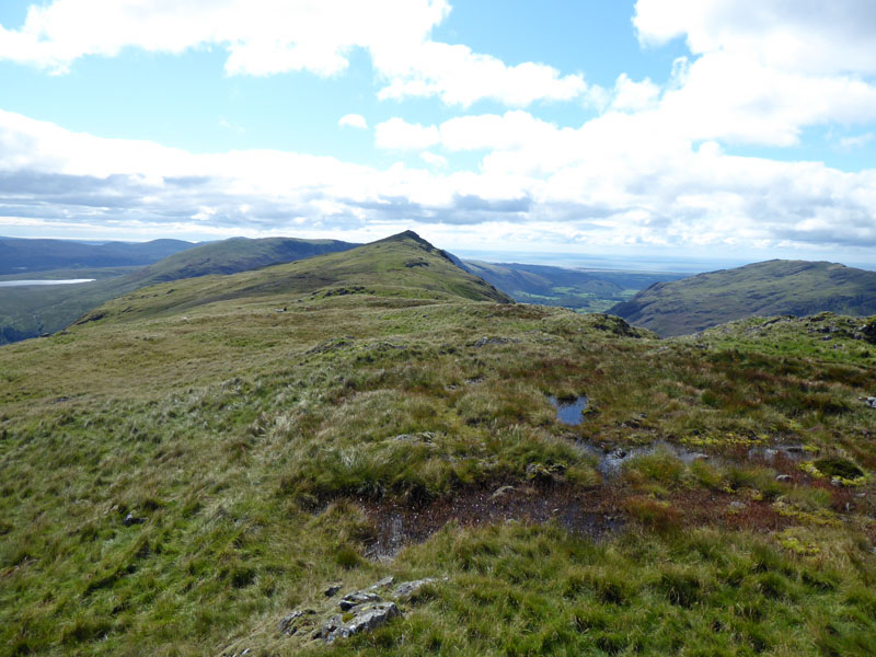
Steeple
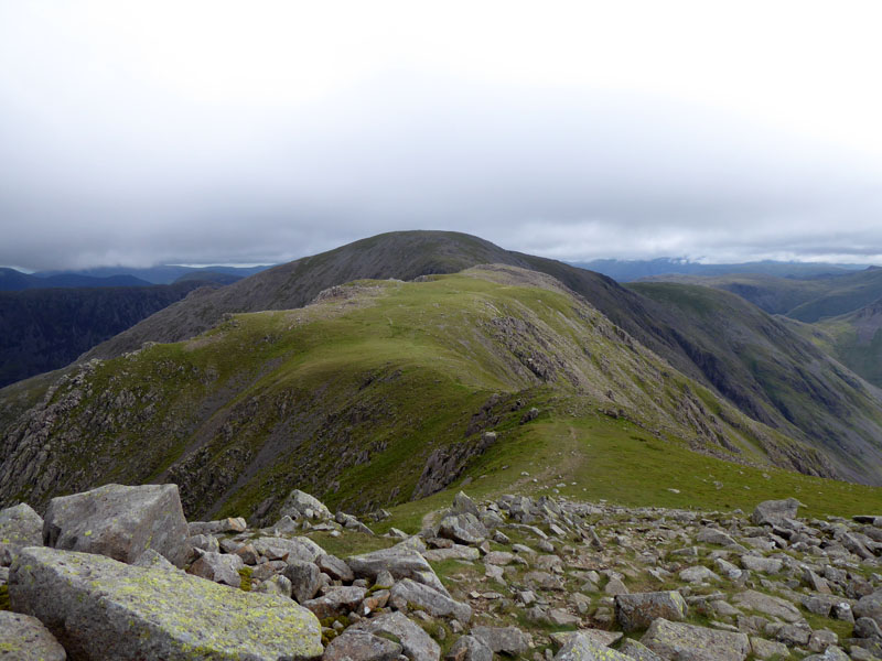
Pillar
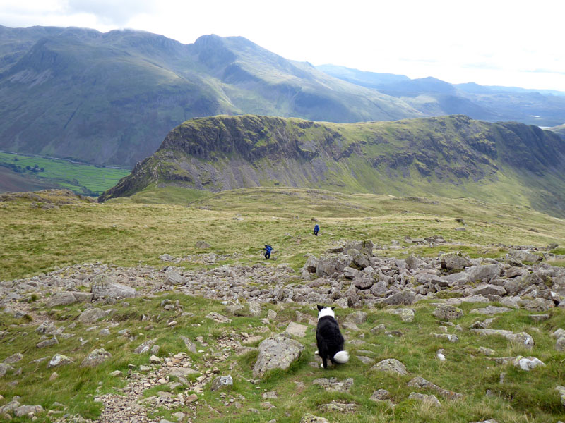
Next up..,Pillar. Or maybe not, the conditions are not favourable for the un-prepared. I really needed a pair of gloves to stay up on these heights in the brisk, unrelenting cold wind. So, without too much debate between me and Molly, we head for Red Pike.
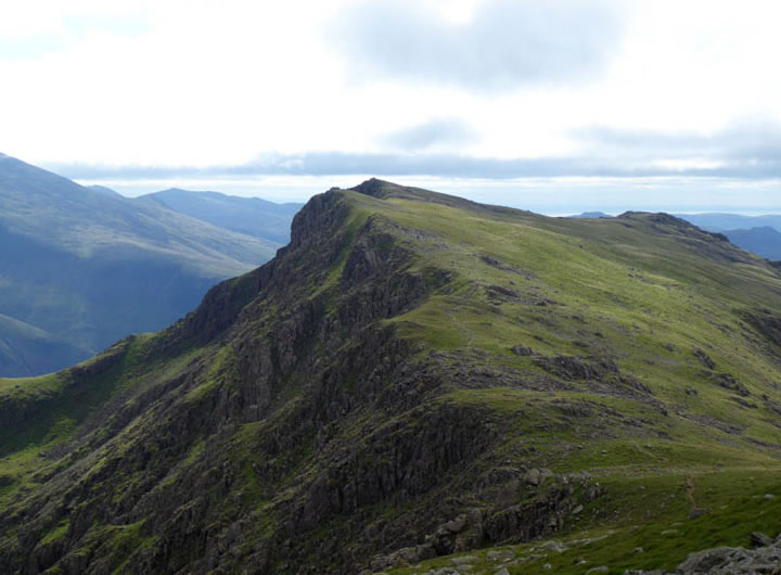
Red Pike
Another consideration re.Pillar is the fact that in my long memory of ascents of such and visits to the top, it has always been sunny. I wanted to keep it that way. Red Pike is ahead, no chance of a food stop until we are out of the wind.
 |
|
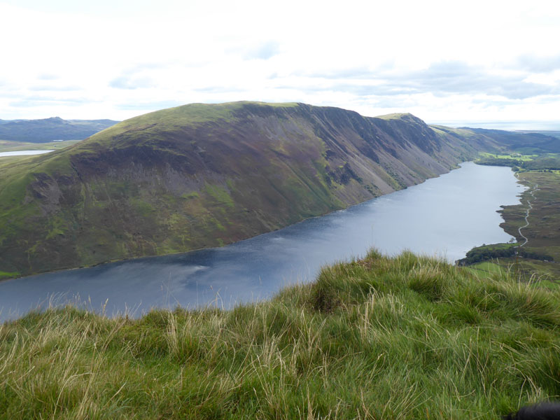
Red Pike Highlights
The summit height is 2,707ft asl and the gently-sloping grassy slope is named as Foster Beds on the OS map. The proliferation of camper vans and the enforced "staycations" for those who generally prefer sunny climes and plenty of cheap booze have created an ugly manifestation of some deplorable human behaviour in Wasdale. I lost count of the number of illegally parked camper vans on the drive from Duddon Bridge (A595) to Overbeck Bridge.
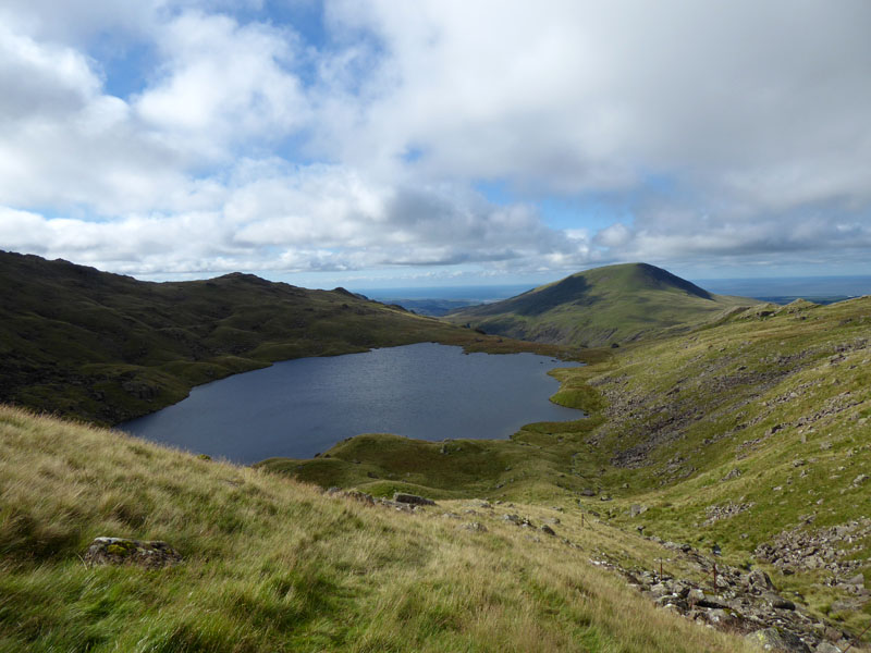
Red Pike Descent
A bit further down, in the vicinity of a disused quarry, I took lunch. The quarry does not make it onto the OS map or Wainwrights guidebook, but look hard enough and you will find it. The lunchspot provided a great vista for studying Yewbarrow and I have long wondered if I could get Molly up, or down, Stirrup Crag and onto (or off) Yewbarrow.
Molly and Yewbarrow
I watched two different walking parties on Yewbarrow...
Yewbarrow Western Slopes
This party had made a descent from the summit down a feint path on the western slopes. Then they stopped and I was wondering if they were in difficulty. Zooming in with the camera, it transpired they were eating their sandwiches in the shelter of the crag. This is a path not shown on the OS map, but a way of avoiding Stirrup Crag. Wainwright mentions this path as a descent route.
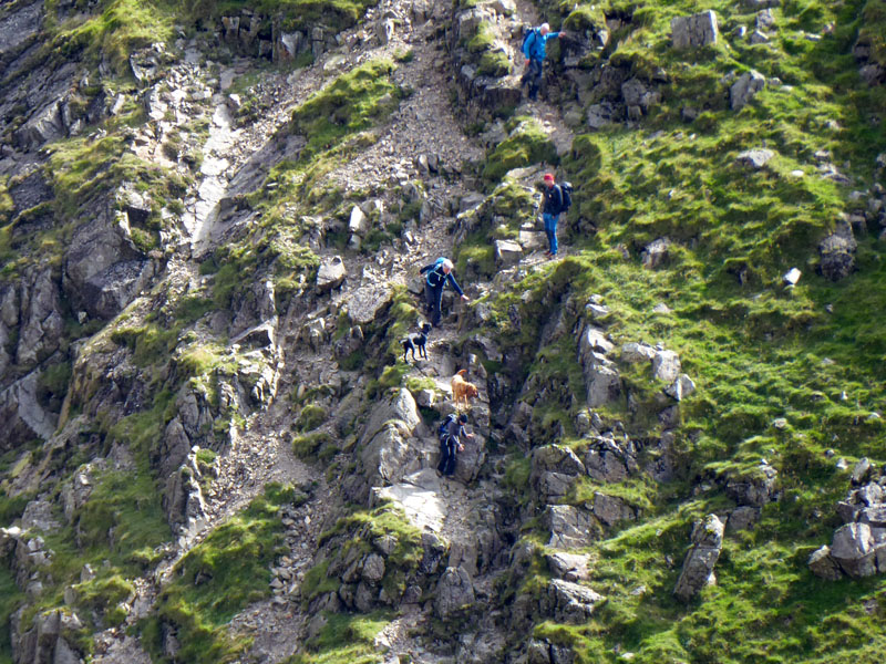
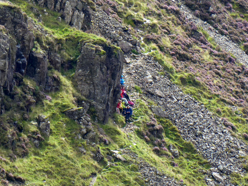
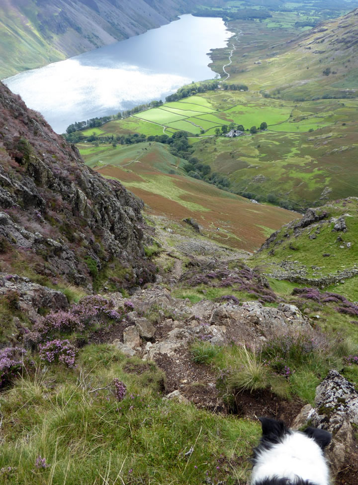
Stirrup Crag Descent
Four walkers plus two dogs make a cautious descent down Stirrup Crag; this persuaded me to have a go with Molly who is not the best rock scrambler.
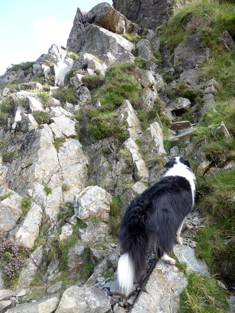
Stirrup Crag Ascent
On a few occasions, I had to give Molly a shove up from behind and tell her to "wait". Not an ideal route for the nervous or those with large dogs.
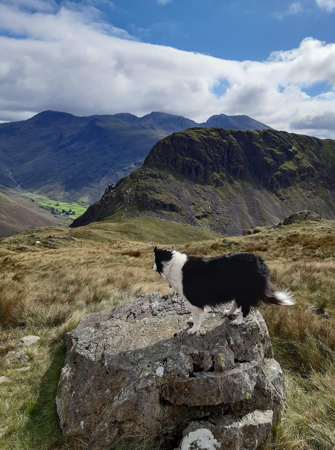
Molly at Yewbarrow North Cairn
This is not the summit of the fell, more is the pity. What a view! We were up there on Great Gable just one month ago. Kirk Fell is to the left and might have been one of today's captures, but that's how it goes sometimes. The weather is much better now, the wind has eased and it feels warmer.
To The Summit
Molly on top of Yewbarrow 2,058ft asl
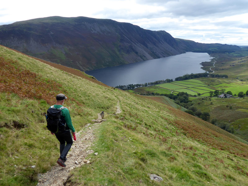
Yewbarrow doesn't fit easily on a horseshoe or ridge walk and maybe for this reason it is only the second time I have been up here. The climbs are not for the weary or unwilling, the views are magnificent. Now for the steep descent down the south end.
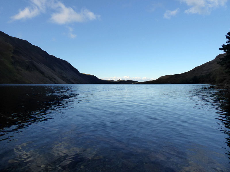
Wastwater
Yewbarrow Descent
This well-worn route is also quite tricky. I met a walker who had no confidence at all. His pal was clearly uneasy about going further and having to get back down off the fell. In the event, I looked back and noticed they had turned around to come back down again. Molly needed assistance on this descent, on one occasion climbing on to my shoulder.
The Challenge
This chap, from Halifax, is aiming to reach all the Wainwright summits during 2020 and is in the 180's. Today, he has managed Middle Fell and Yewbarrow so far....with Illgill Head and Whin Rigg to follow...ending the day in a tent on Buckbarrow. This year has been more difficult than most with the "lockdown" robbing us of many weeks of fine weather when mountains could have been climbed.
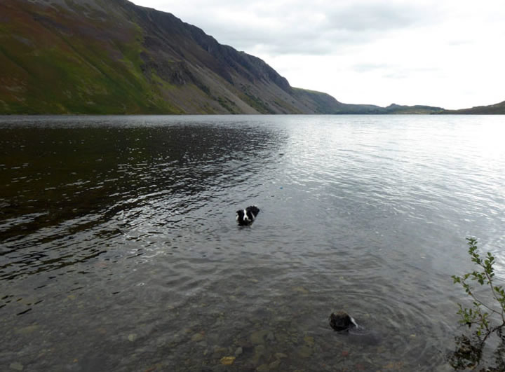
Last Dip
Molly cools off and we are ready for our trip home. Leaving the crowded Wastwater roadside, we got stuck on the way to Santon Bridge. It turned out a "Winnebago" was heading into Wasdale. OK, I'm part of the problem, but which half-wit thinks it's a good idea to drive an oversized vehicle into this part of Lakeland at 4pm, when most folk are heading the other way? The first one hour of travelling home covered 20 miles, this is one of the reasons why I don't drive this far too often on day trips.
Walkers: Molly and Me.
Time taken: 7hrs over a distance of about 10 miles.
Route: Overbeck Bridge car park, Nether Beck to Scoat Tarn, Scoat Fell, Red Pike, Dore Head, Stirrup Crag, Yewbarrow, Dropping Crag and back to the car park.
Weather and conditions: Sunny start, very cold winds and overcast on Scoat Fell. Sunshine again on the way to Yewbarrow.
Refreshments: Self-catered back at the car with a brew and a biscuit. Fish and Chips at the excellent Jingling Lane Chippy in Kirkby Lonsdale.
All photos copyright Richard Ratcliffe 2020 ©
Take me back to the start ....