
~Rampsgill Head from Patterdale~
30th November 2019
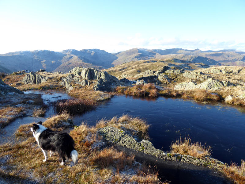
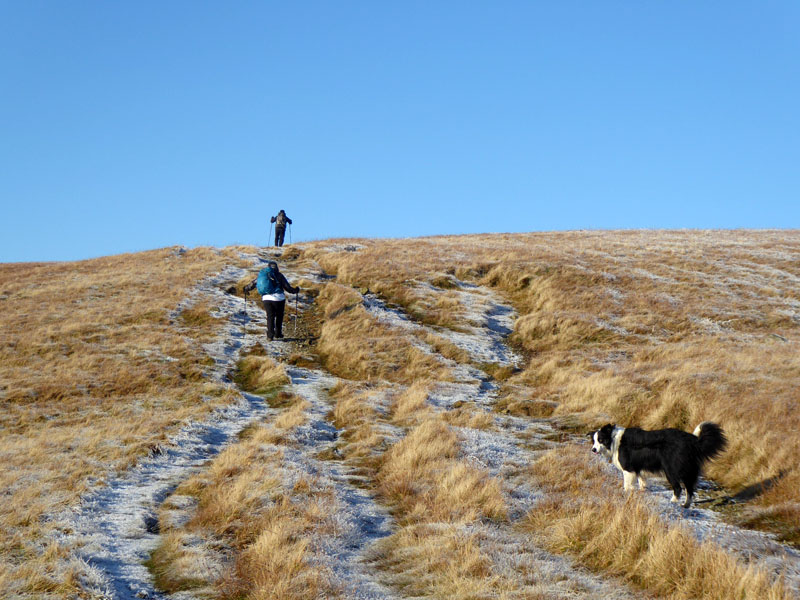
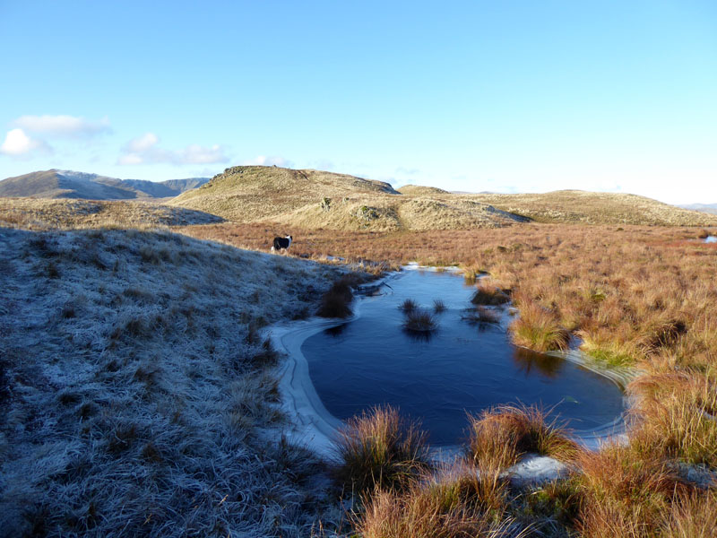
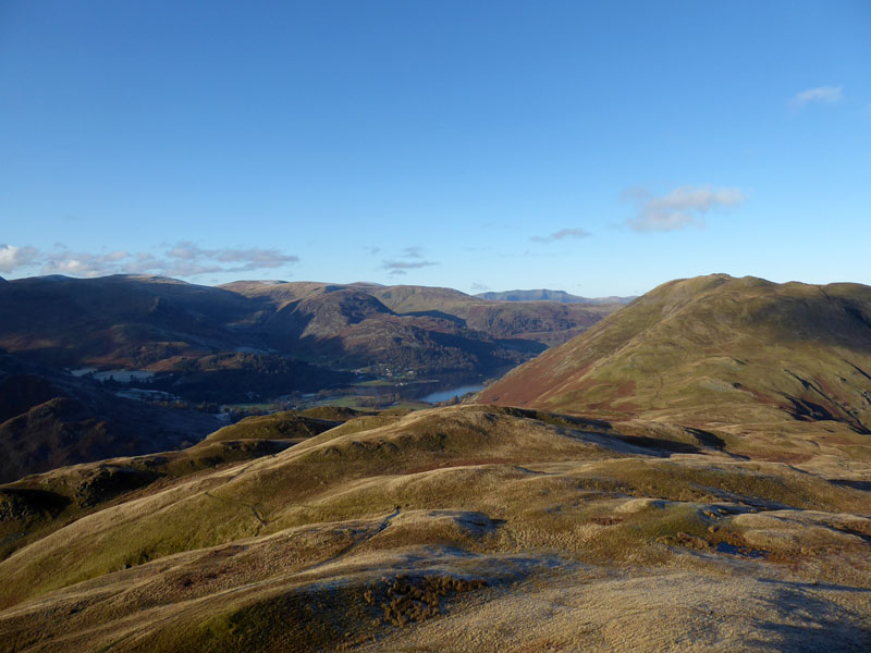
Satura Crag
 |
 |
"This is a most enjoyable excursion with a succession of widely differing views, all excellent; and the route itself, never very distinct, is an interesting puzzle to unravel." so says Wainwright in his Book 2 - The Far Eastern Fells. I wanted to achieve the summit of Rampsgill Head without hitting the top of any other fells on the way and the other suggested ascent route from Mardale inevitably summits Kidsty Pike first and includes the term "dull climb" in the description. No contest!
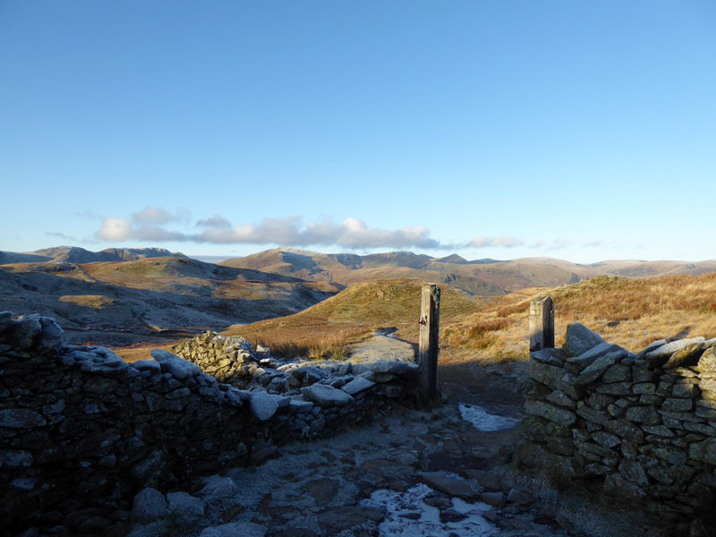
To Boardale Hause
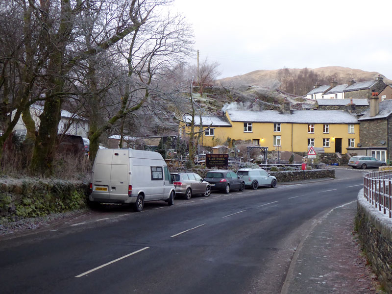
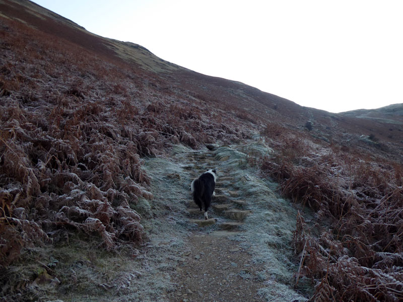
The parking in Patterdale is not guaranteed, but with an 0800hrs start, there was always a good chance. I feel to have been denied the delights of Autumn, primarily by bad weather and so it's fast forward to winter. This route up to Boardale (or Boredale) Hause is great, not just because the surrounding views are so rewarding, but also the mind is alive with thoughts of the fine walk ahead, whichever way you choose to venture after reaching the hause.
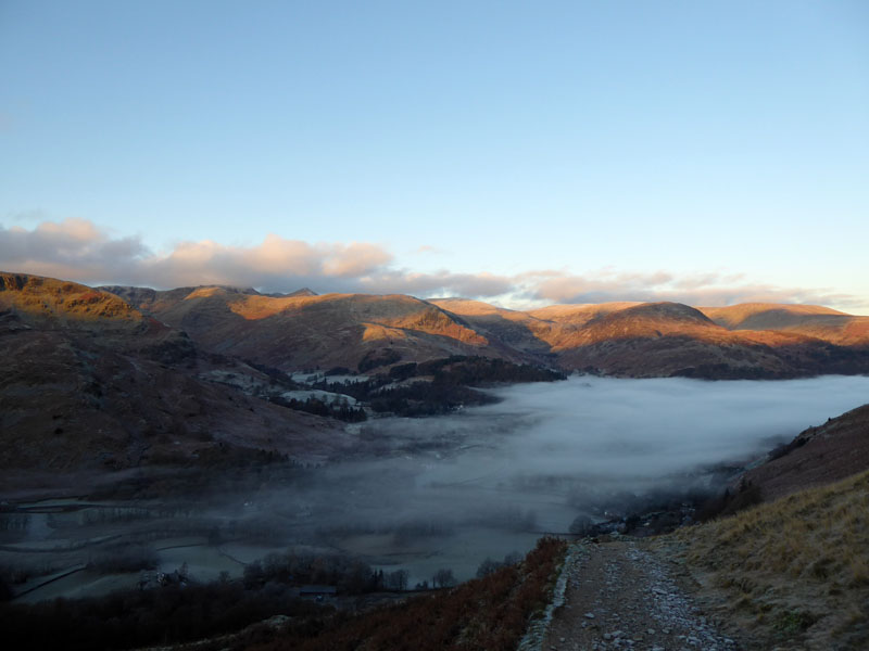
Ullswater Mists
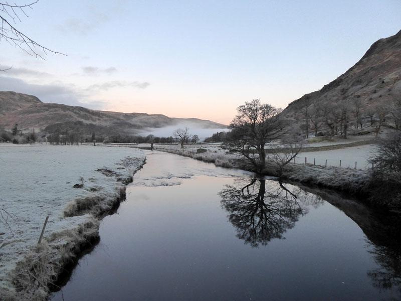
Behind us the mists of a "temperature inversion" are creeping along the valley, driven by a light northerly breeze. Early sunlight livens up the felltops behind and beyond Glenridding.
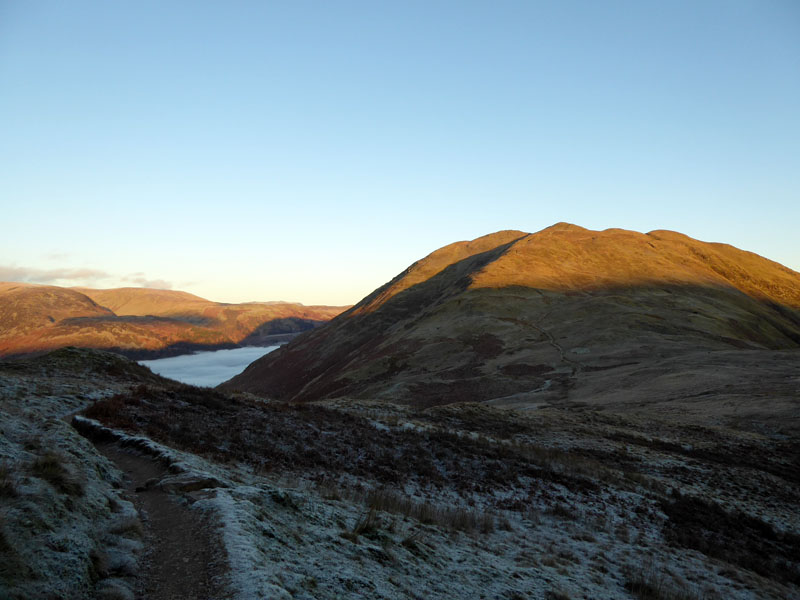
Place Fell
Now above the hause and heading for Angle Tarn, looking back at the mass of Place Fell and the mist over Ullswater.
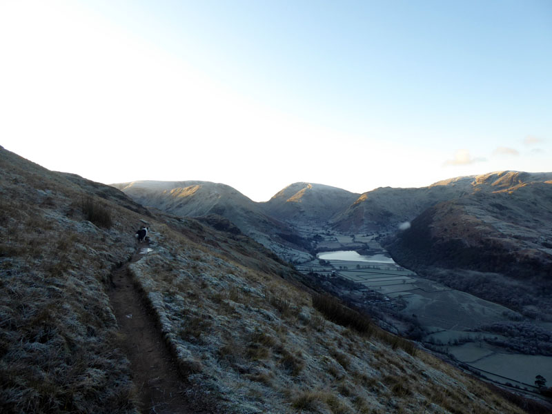
Brotherswater
At the head of Dubhow Beck, the path splits and we take the lower one, they rejoin before the tarn.
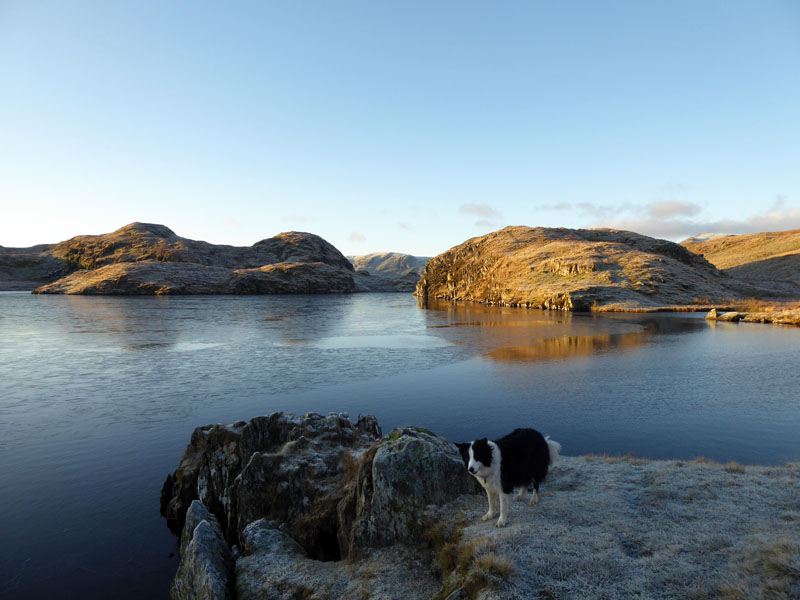
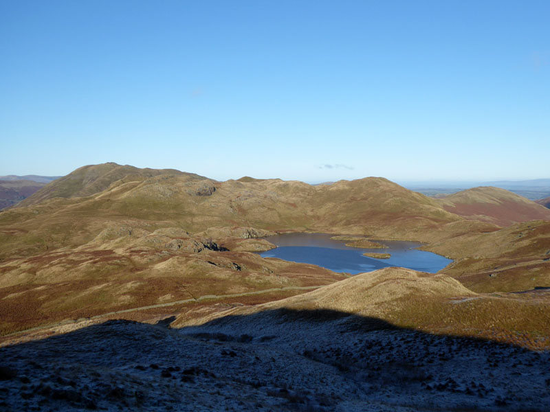
Angle Tarn
We met a chap who had been camping up here the night just gone. Brrrrrrr....! He admitted it had been cold, but enthused giddily about the starlit sky, the peace, the solitude, the sunrise...all free and priceless!
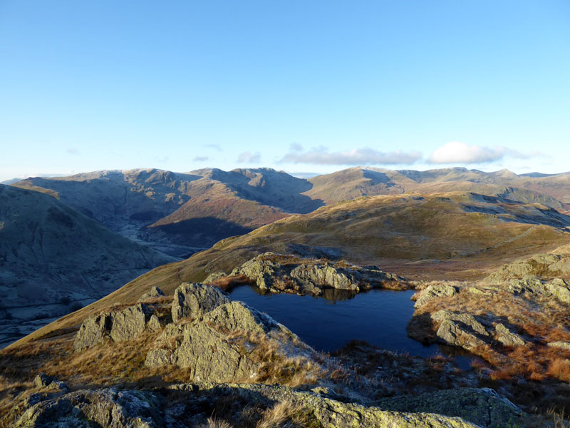
Angle Tarn
Surely the most beautiful of all the (larger) Lakeland tarns. Sandwiches are eaten here; selfies are taken here; ashes have been and will be scattered here.
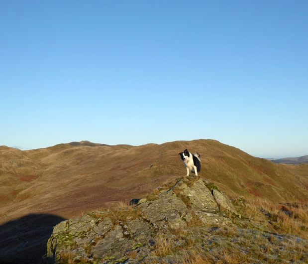
Molly the Collie
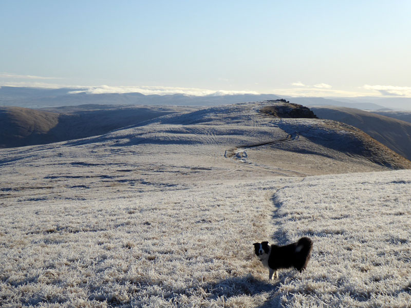
We are heading for Satura Crag.
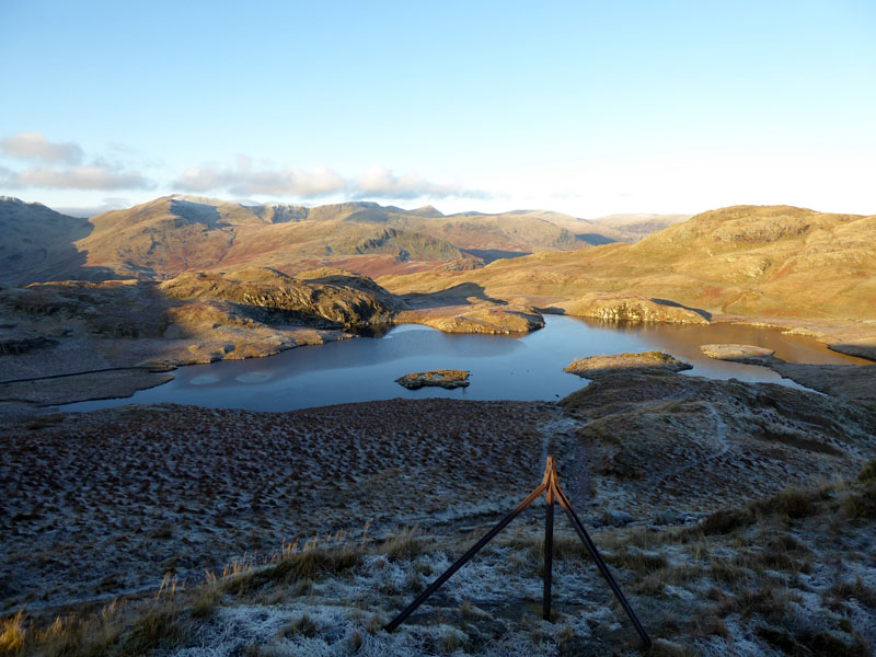
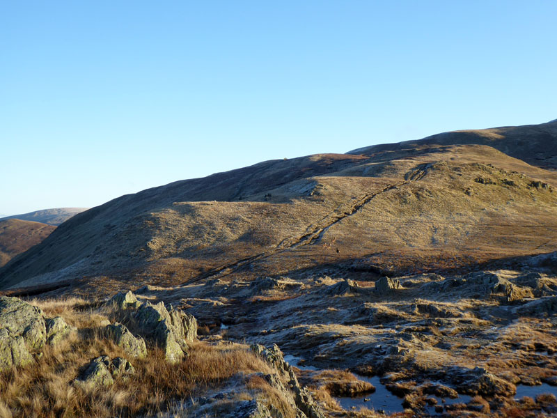
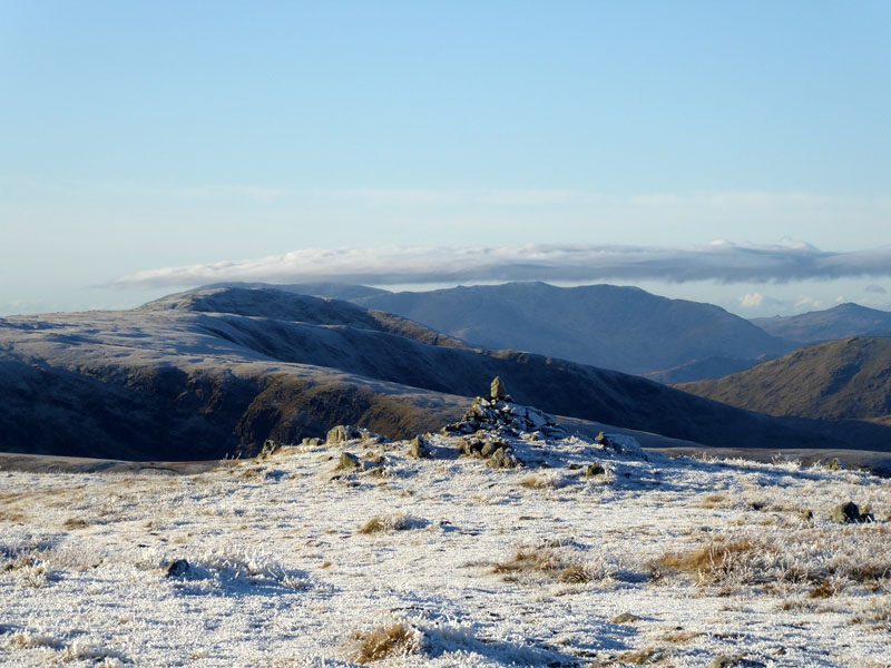
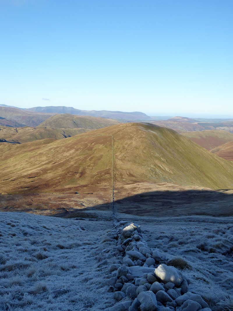
Satura Crag
The Helvellyn Massif with pointy Catstycam in clear view from the disused gateposts on Satura Crag. These should be "listed"; everyone who gets this far takes in this view and usually photographs the scene.
 |
 |
~~~
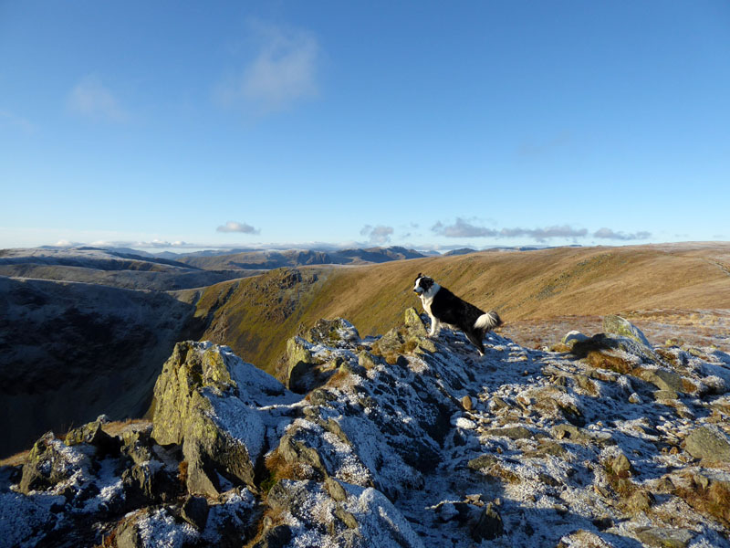
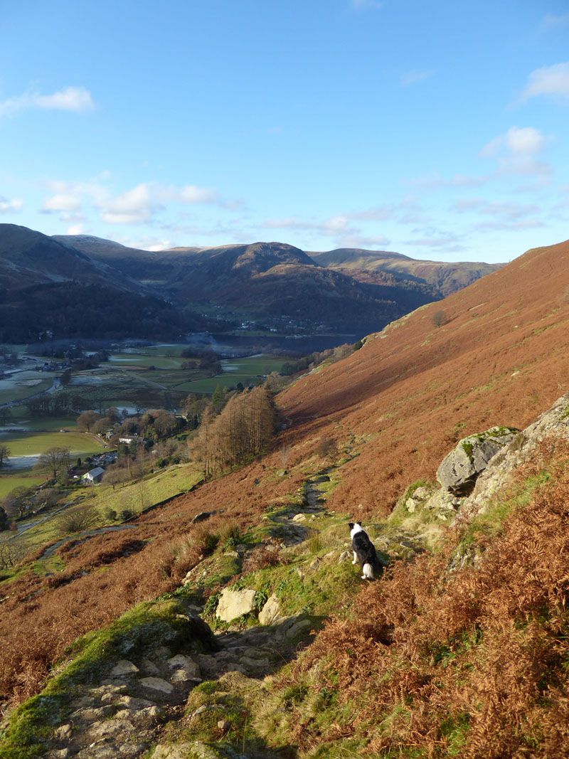
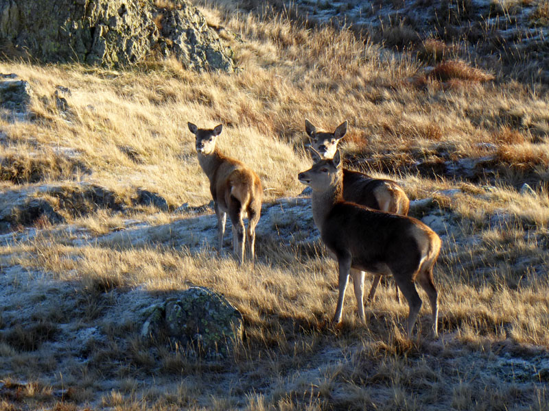
Molly's senses were alerted and soon enough three deer appeared and hastily headed up the flanks of Rest Dodd (right). Rest Dodd is another summit were are doing our best to avoid as is The Knott, we are following Wainwright's suggested route and plotting a way between the two.
Rest Dodd (l) and The Nab
Back in the shadows and it's now much colder, all the ground frozen in places where the sun won't reach for a few months.
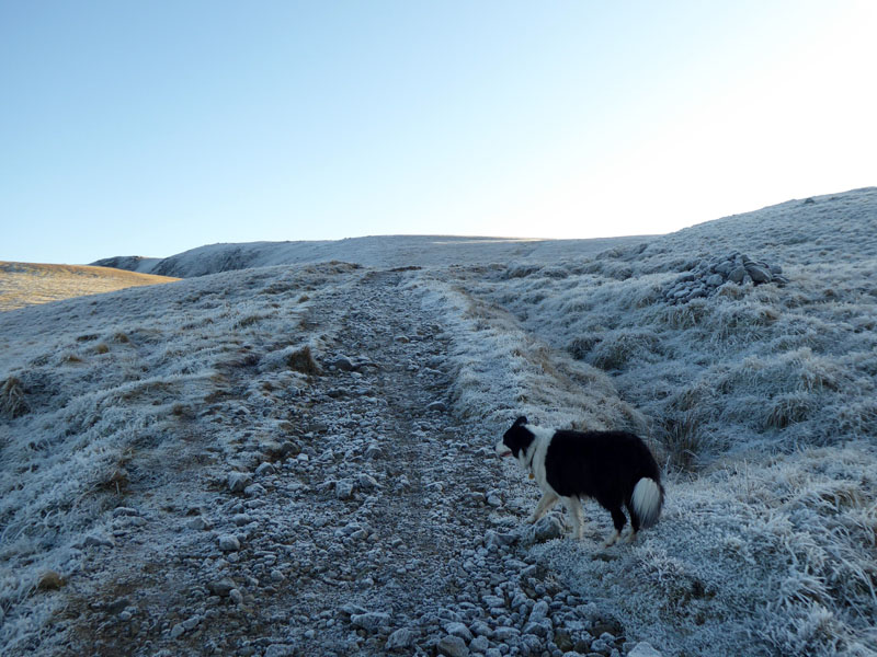
Frozen Landscape
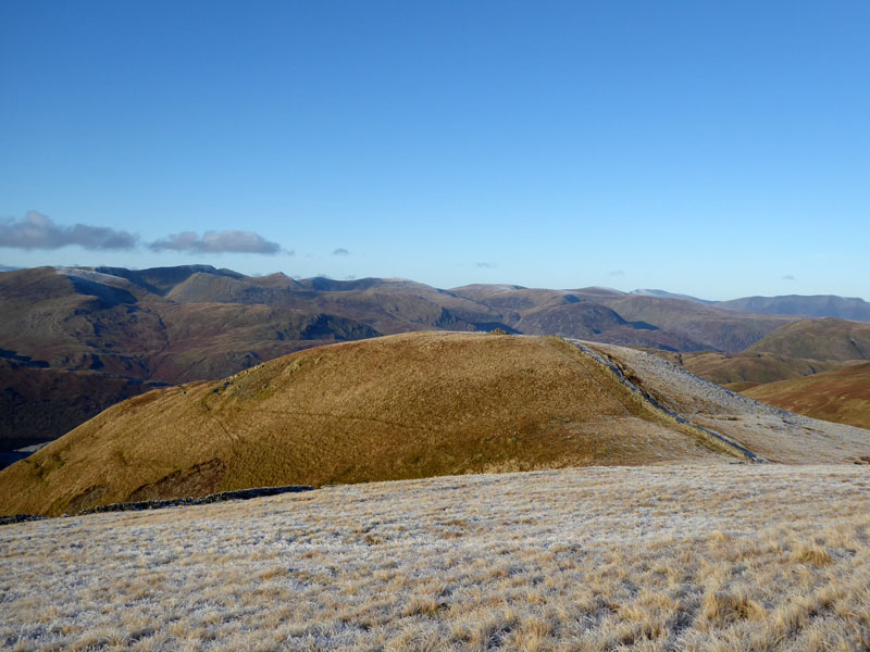
This is the first clear view of Ramspsgill Head up there on the horizon. Rampsgill Head is an ill-defined fell, other high points in the area are more obvious "mountains" and if "say" Kidsty Pike was more elevated than its immediate neighbour, then the 10 pages in the Wainwright's Book 2 might all be blank. In reality, Kidsty Pike is really part of Ramspsgill Head, but so prominent is the peak atop Kidsty Pike that it will always be its own fell. Better that guidebooks are written subjectively and based on opinions rather than hard facts.
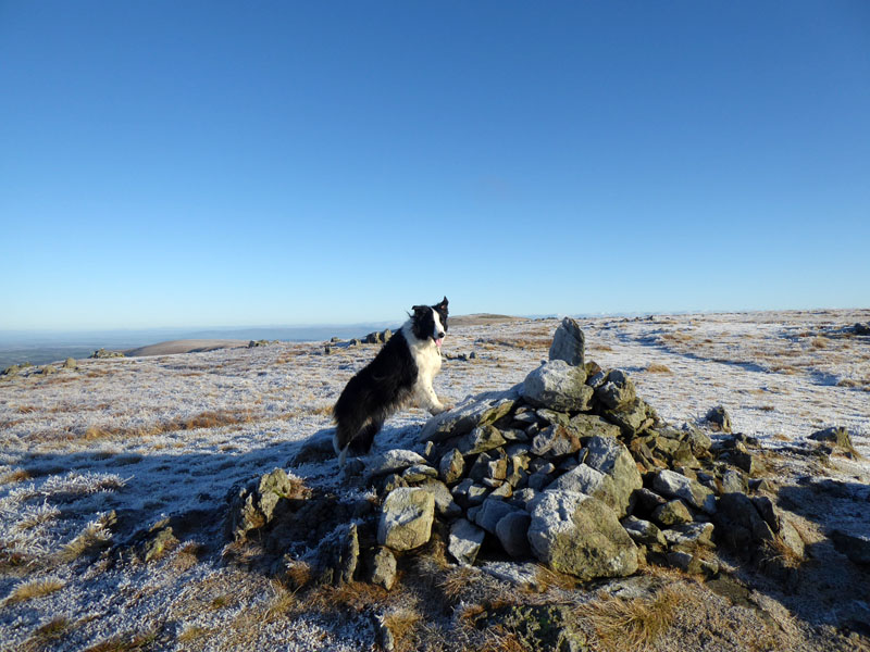
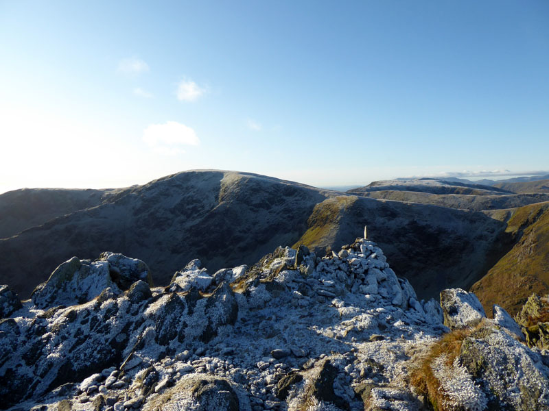
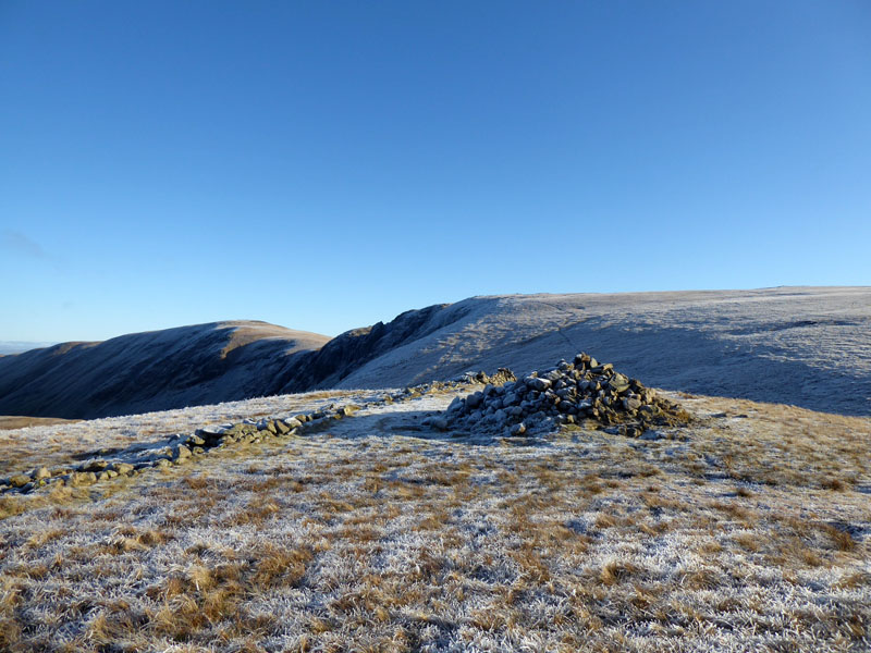
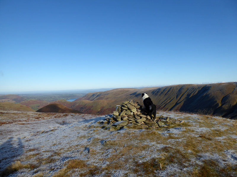
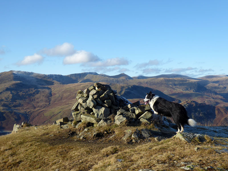
Molly on top of Ramspgill Head 2,581ft asl
Actually the highest point is a few feet away, but this fine cairn is an obvious place for the summiteering folk and dogs of this world. We did wander over there just to be sure.
Rampsgill Head Summit Territory
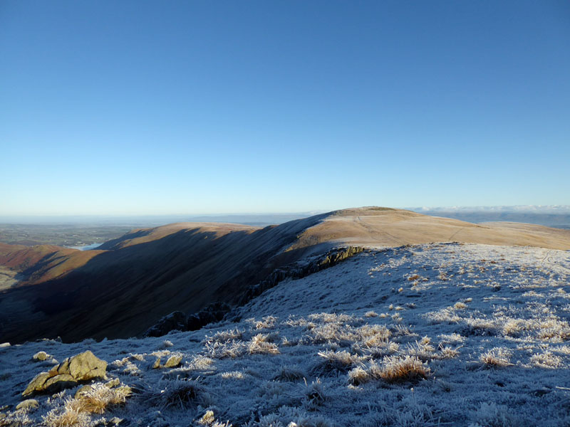
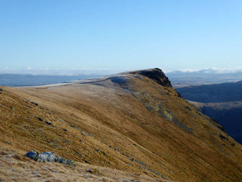
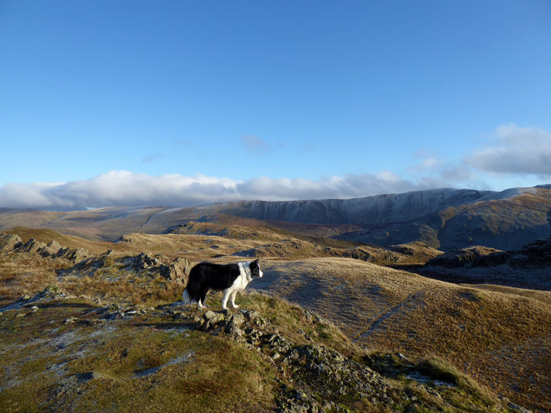
High Raise
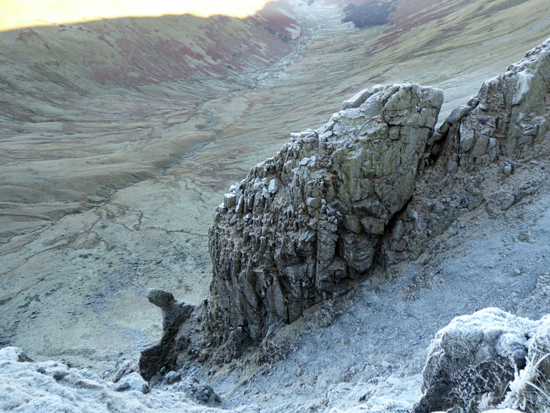
The Crags of Rampsgill Head
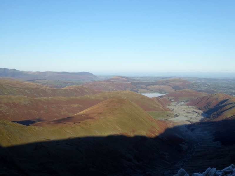
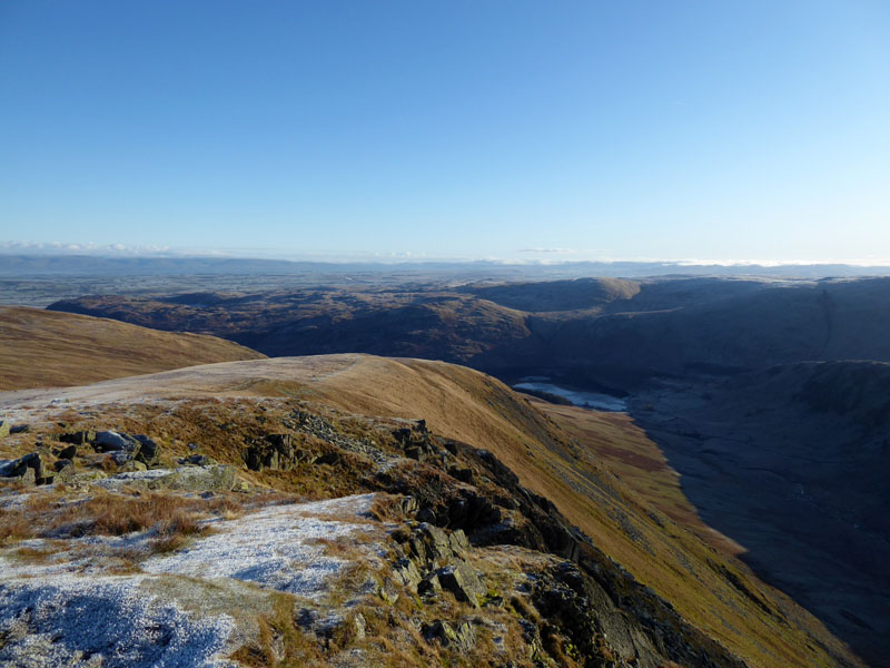
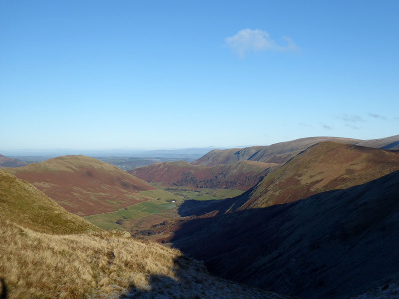
Ramps Gill
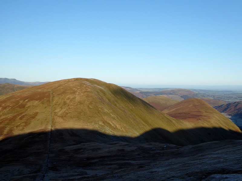
The long valley of Ramps Gill extending to Hallin Fell. The Nab is in the centre of this view and further away you can see evidence of the Ullswater "inversion". We are now going to claim felltop No.2 for the day with a short walk in an ESE direction and a rather modest 35ft of ascent after a slightly more modest descent of 56ft. Or less modest....
 |
 |
to Kidsty Pike |
Kidsty Pike Summit |
Is there an easier one-to-the-next summit treck anywhere in the Lake District (based on Wainwright's books)?
Kidsty Howes
Molly on top of Kidsty Pike 2,560ft asl
It was rather chilly up here with a noticeable breeze from the north. The planned drink and cake-stop had to be postponed.
 |
 |
To The Knott |
Kidsty Pike |
We met two other walkers on Kidsty Pike, they were heading off to High Street, whereas me n' Molly are bound for The Knott.
The Knott
Another "gimme", another one to tick off with minimal effort: "He is tired indeed who cannot gain the summit of The Knott from the corner of the wall, and two minutes for the ascent is a generous time allowance" Wainwright. Might I add that she would also be tired and so would the "rather not says".
The Knott Summit 2,423ft asl
This is The Knott, not Knott which can be found in The Northern Fells.
To Rest Dodd
Fairly straightforward route-finding for the way between The Knott and Rest Dodd and we will cross the path we took earlier on our way to Rampsgill Head. The drink and cake break was taken once the sunny side of the valley had been reached.
Molly on top of Rest Dodd 2,278ft asl
Another fine felltop and the only one of today's targets which Molly has summited previously, not sure she remembered our even colder visit here a few years ago.
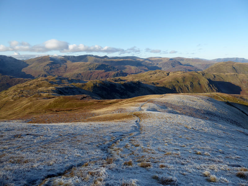
The walk now continues in a downhill manner back to Satura Crag. It is not easy to correctly identify all the fells on view, have a go for yourself if you have a moment to spare.
Molly ~ Satura Crag
Bannerdale Beck
It certainly has been a great day for the views. Here looking down Bannerdale Beck towards Steel Knotts. Next up, Brock Crags...
Tarn on Brock Crags
Molly on top of Brock Crags 1,842ft asl
Angle Tarn from Brock Crags
Molly on top of Angletarn Pikes 1,857ft asl
A fantastic collection of felltops is completed with this visit to Angletarn Pikes summit. There are two pikes of similar height, visit them both to make sure, OS maps has this here one (northern) as the higher of the two. Now back to Boredale Hause for the descent back to Patterdale.
~~~
Every Step a Joy! It's been a cracking walk.
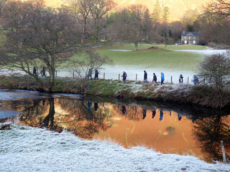
100 Walkers!
Somewhere in the region of 100 walkers pass us on the bridge and head along the river. They were guided by a few yellow jackets. Maybe this is the only way for some folk, but it is everything I don't need when out for a walk. Each unto their own.
Walkers: Molly and Me.
Time taken: 5hrs 40mins over a distance of about 11 miles.
Route: Patterdale, Goldrill Beck crossing, Boredale Hause, Angle Tarn, Satura Crag, between Rest Dodd and The Knott to Rampsgill Head. Kidsty Pike, The Knott, Rest Dodd, Satura Crag, Brock Crags, Angle Tarn, Angletarn Pikes, Boredale Hause and back down to Patterdale.
Weather and conditions: Stunningly beautiful, cold and sunny.
~~~
All photos copyright Richard Ratcliffe 2019 ©
Take me back to the start ....